

NEWS
GSS Spotlight!
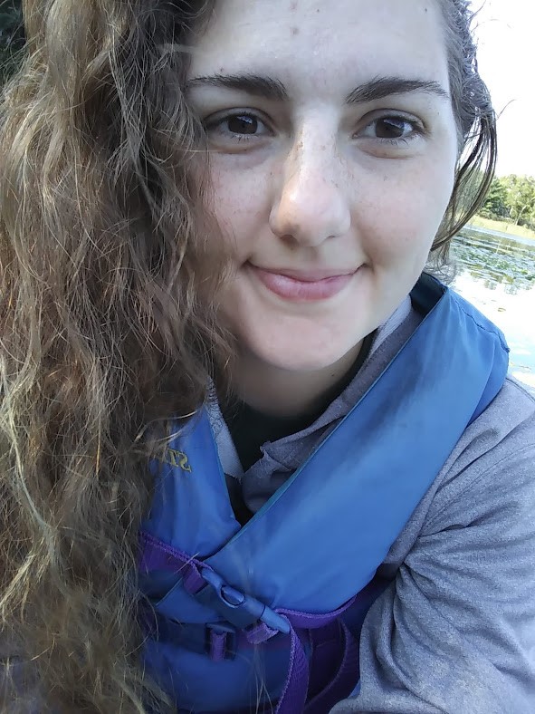
KATHERINE ETHEN
What is your education and professional background?
I graduated from Pacelli Catholic High School in Austin, MN and am now a senior at Saint Mary's University, studying Environmental Biology. In the summer of 2017 I worked at Cascade Meadow in Rochester, where I helped clean up some of the invasive plants they have. Last summer I was able to start working at GSS and continued working there once school started up again. Both of these opportunities have been student internships through Saint Mary's.
What led you to GIS? More specifically, how did you get to Saint Mary's University of Minnesota (SMUMN) in Winona?
My dad and several other family members all graduated from Saint Mary's, so I already knew about it and was familiar with the campus. I was also originally planning on being a theater major, which they have a very good program for. I did end up switching to environmental biology at the beginning of my sophomore year and was first introduced to GSS during a GIS mapping class. Andy Robertson came and talked about the projects they were doing, as well as his visits to Alaska which really peaked my interest. When the school started sending out emails about a summer internship working there, I was very excited to start working (even though I knew it didn't mean a trip to Alaska!).
Explain briefly a project at GSS you've done that contributed to your overall knowledge and educational experience.
The first project I worked on was part of a 2 year project that covered northwestern Minnesota. It was my first time working with GIS outside of class and it helped me get a better idea of how it worked. I also learned a lot about different types of wetlands and waterways, and how those are categorized.
How do you see GIS fitting into your future?
I'm not sure yet! I know that it can be used in a whole range of fields for a lot of different reasons, so just having a better understanding of it will be super helpful for whatever I do end up doing.
Where can we find you outside of GSS?
Once I get off work I can normally be found outside, kayaking or hiking or hammocking. I also enjoy reading, spending time with my family, and painting!
GSS Intern Presents at Regional Conference

Environmental Biology major and GSS intern Angela Soto co-presented, along with two SMUMN faculty members, at the Upper Midwest Invasive Species Conference/North American Invasive Species Management Association joint conference. This conference was held in nearby Rochester, MN on October 17. Their talk was titled “Combining education and research in an undergraduate invasion ecology class.” The course, taught during spring 2017, explored invasion ecology theory through class readings and discussions. One major element of the course required students to design and conduct original research that applied spatial analysis to a local invasive species. In addition to presenting, the conference offered participants the opportunity to network with professionals and learn about the ecology and management of invasive species.
GSS Spotlight!
CHRIS HOOD
What is your education and professional background?
I attended the University of Akron in my home state of Ohio and earned a B.S. in Geographic Information Sciences with a minor in geology. I am currently enrolled in the new Data Intelligence and GeoAnalytics M.S. program at Saint Mary’s University. I started working at GSS back in April and this is my first encounter with GIS outside of a classroom setting.
What led you to GIS? More specifically, how did you get to Saint Mary's University of Minnesota (SMUMN) in Winona?
Since my parents purchased me my first globe, I have always been fascinated with maps. On long car trips, the best way to keep me occupied was to hand me the AAA TripTik, allowing me to follow along as we headed toward our destination. It was not until college that I realized there were actual careers in the use, presentation, and analysis of maps. I was introduced to Saint Mary’s through a friend I met during undergrad in Ohio and I felt it was time for a change of scenery.
Explain briefly a project at GSS you've done that contributed to your overall knowledge and educational experience.
Since joining GSS, I have worked on updating the National Hydrography Dataset of Alaska for the areas of Kuskokwim and the Cook Inlet. I enjoy working on these projects because it allows me to strengthen my knowledge and skills while using GIS in the real world. It also allows me to incorporate my brief background in geology. It is rewarding to be able to use both my degree in GIS and minor in geology while working on these projects.
How do you see GIS fitting into your future?
At this point, I am not quite sure where my path will lead me. Things that seem to interest me include finding ways to better apply GIS in areas unknown. The mapping of caves is still a long and treacherous task that is usually done by hand. Developments in LIDAR allow us to shrink the device to be used in smaller environments, either worn by a human or transported remotely into areas that are often inaccessible. NASA’s New Horizons is approaching its next potential target and in 2019 we will be in contact with MU69. Once New Horizons reaches MU69 next year, the information sent back will need to be analyzed. Hidden within the images taken from various instruments, we can find and examine the building blocks that created our solar system. Various maps will need to be made of the object, both digitally and physically with the use of 3D printing. My ultimate goal would essentially be working with GIS application in geology
Where can we find you outside of GSS?

When I am not in my office, one could find me either at the RAC lifting weights or out hiking at one of the many parks around the area. Most of my time is spent training for upcoming Spartan Races or working on my studies. A few of my hobbies also involve being under the surface of the earth. I am an active SCUBA diver and will be heading down to Bonaire in November for a week of diving. While there I will also get the chance to enjoy my other interest of caving.
New and Expanded Projects
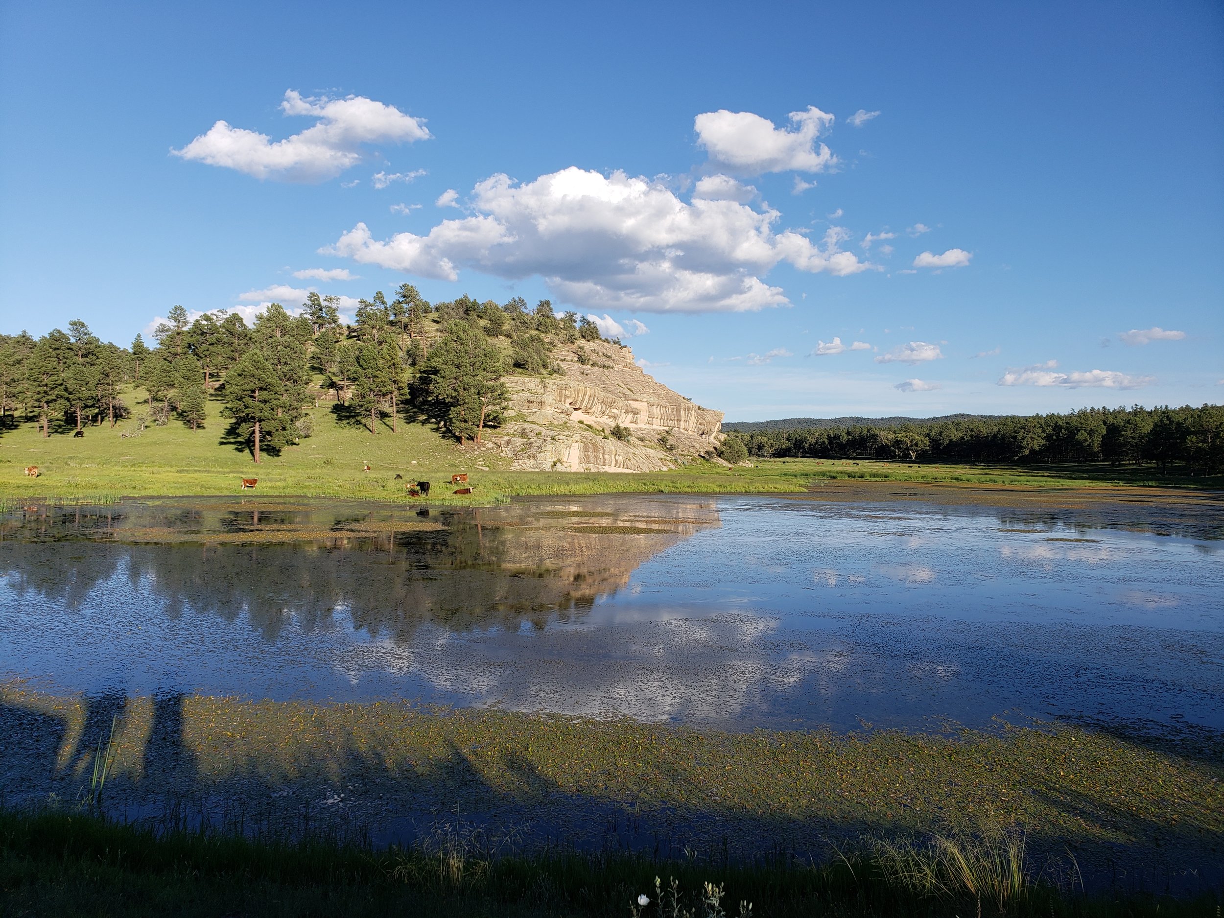
In recent months, GeoSpatial Services (GSS) has secured a number of new projects that will keep their staff and student interns busy for several years. One of these, an agreement with the federal Bureau of Land Management (BLM), is the largest single contract ever for GSS at $1.7 million over 4 years. This BLM project will involve a wetland and riparian inventory for BLM-administered lands in the western United States and Alaska (see map below). GSS is uniquely qualified for such an effort, as they have completed more than 100 mapping projects for federal, state, and tribal agencies over the past 15 years, focusing on the landscape level inventory of wetland and riparian ecosystems. Once complete, this inventory will provide data and information that informs decisions related to habitat condition for threatened and endangered wildlife, compliance with state water quality standards, and the maintenance of ecological processes that sustain healthy biotic populations and communities.
Other new projects include cooperative agreements with the U.S. Fish and Wildlife Service (USFWS) for wetland mapping in Alaska’s Arctic National Wildlife Refuge (ANWR) and in a seven county area of Northwest North Dakota. With six unique ecozones that span approximately 200 miles from north to south, ANWR provides a perfect opportunity for the testing, refinement and implementation of new, fine-scale wetland inventory and surface hydrography mapping protocols developed through previous cooperative agreements between the USFWS and GSS. In addition to these new projects, GSS has received further funding to expand current wetland mapping work in New Mexico and in two western Alaska National Wildlife Refuges.
UPDATE: This news was featured in the University’s weekly newsletter, Campus Notes - See it here!

The black boxes/grids show the areas of six western states and Alaska where GSS staff and students will complete wetland mapping for the BLM.
GSS Spotlight!
ANGELA SOTO
What is your education and professional background?
I am a senior studying Environmental Biology and Spanish. I have no background in working with GIS prior to working for GeoSpatial Services, but for the past year, I have been working on updates to the National Hydrography Dataset in Alaska to improve the accuracy and currency of the data.
What led you to GIS? More specifically, how did you get to Saint Mary's University of Minnesota (SMUMN) in Winona?

I was introduced to GIS through my required Saint Mary’s coursework, by the recommendation of my academic advisor, and through my internship at Cascade Meadow Wetlands and Environmental Science Center. I had heard of the idea of GIS discussed in various contexts related to my major prior to finding GSS, and once I found that positions were open for Student Technicians, I knew that it would provide the perfect introduction to GIS for me. I’m from Saint Paul, and I discovered SMUMN through friends from high school who were attending the university. I really enjoyed the environmental program that was offered, and the many educational opportunities offered by the unique landscapes and natural resources in and around Winona.
Explain briefly a project at GSS you've done that contributed to your overall knowledge and educational experience.
My work in the Cook Inlet and Kuskokwim River basins for the NHD has provided me with opportunities to familiarize myself with water flow patterns, contour lines, and basic GIS functions and tools. Learning the applications of my work has been the most rewarding aspect for me, especially knowing that it will be used for habitat management purposes. I was actually able to apply my knowledge of GIS that I gained from working at GSS at my position as a Conservation Apprentice at the Winona County Soil and Water Conservation District.
How do you see GIS fitting into your future?
One of my goals for my career is to have a position that allows for the use of GIS for planning and analytical purposes. While I am not yet certain of a definite career path for myself, I expect that it will be within the natural resources and conservation fields. I am constantly amazed at the growing number of applications of GIS, and the implications it holds for knowing more about our planet and how we can best manage it so that it can be accessible for generations to come.
Where can we find you outside of GSS?
Outside of GSS I can either be found in at school in Winona or at home in Saint Paul. In my free time I enjoy hiking with friends, shopping, watching movies, and going to concerts.

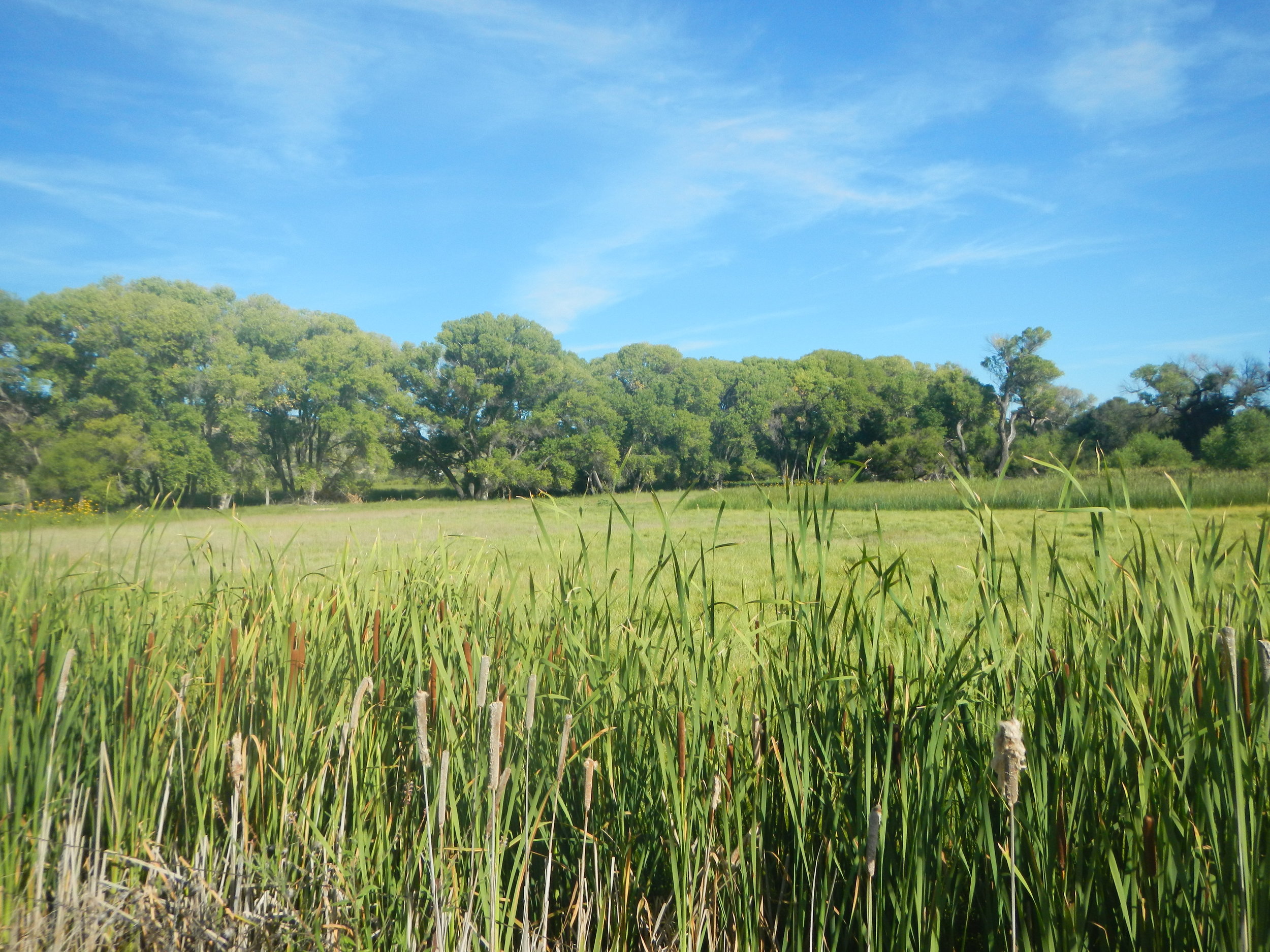
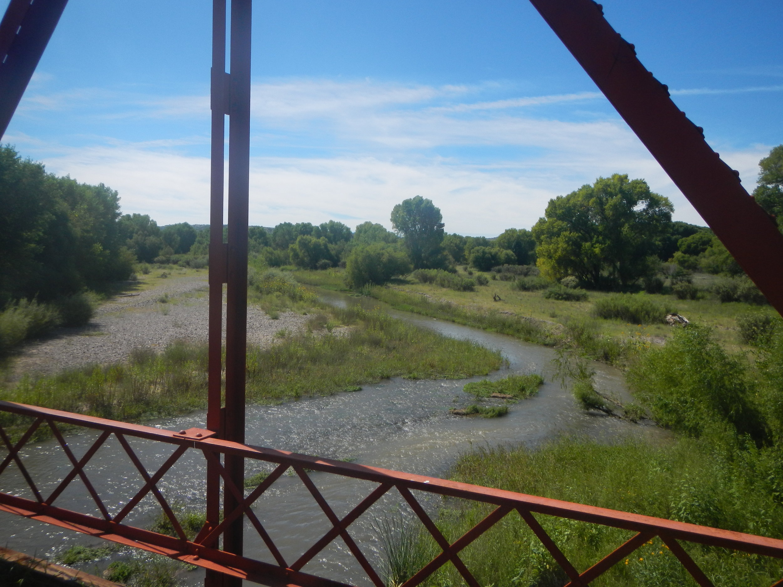
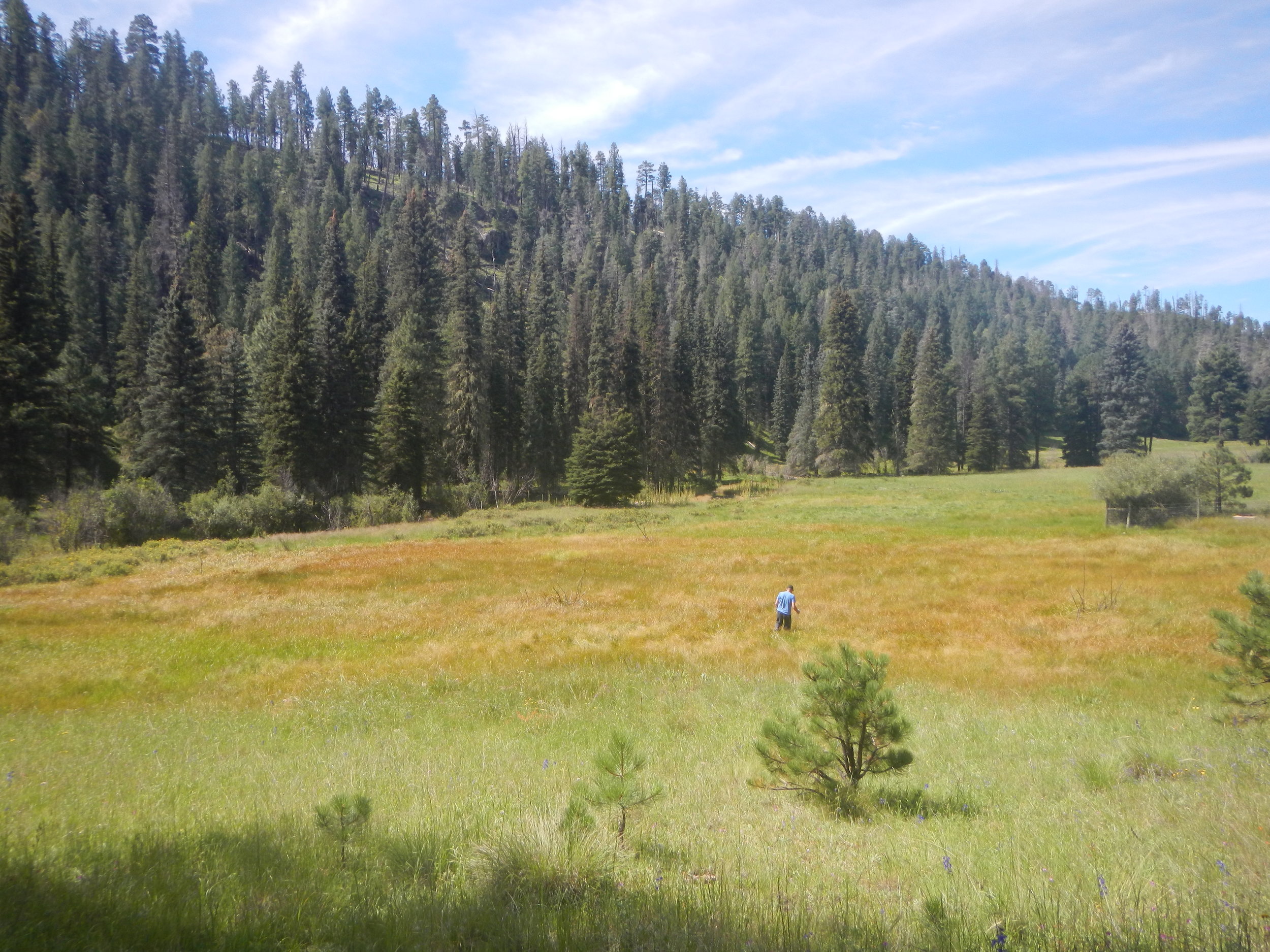
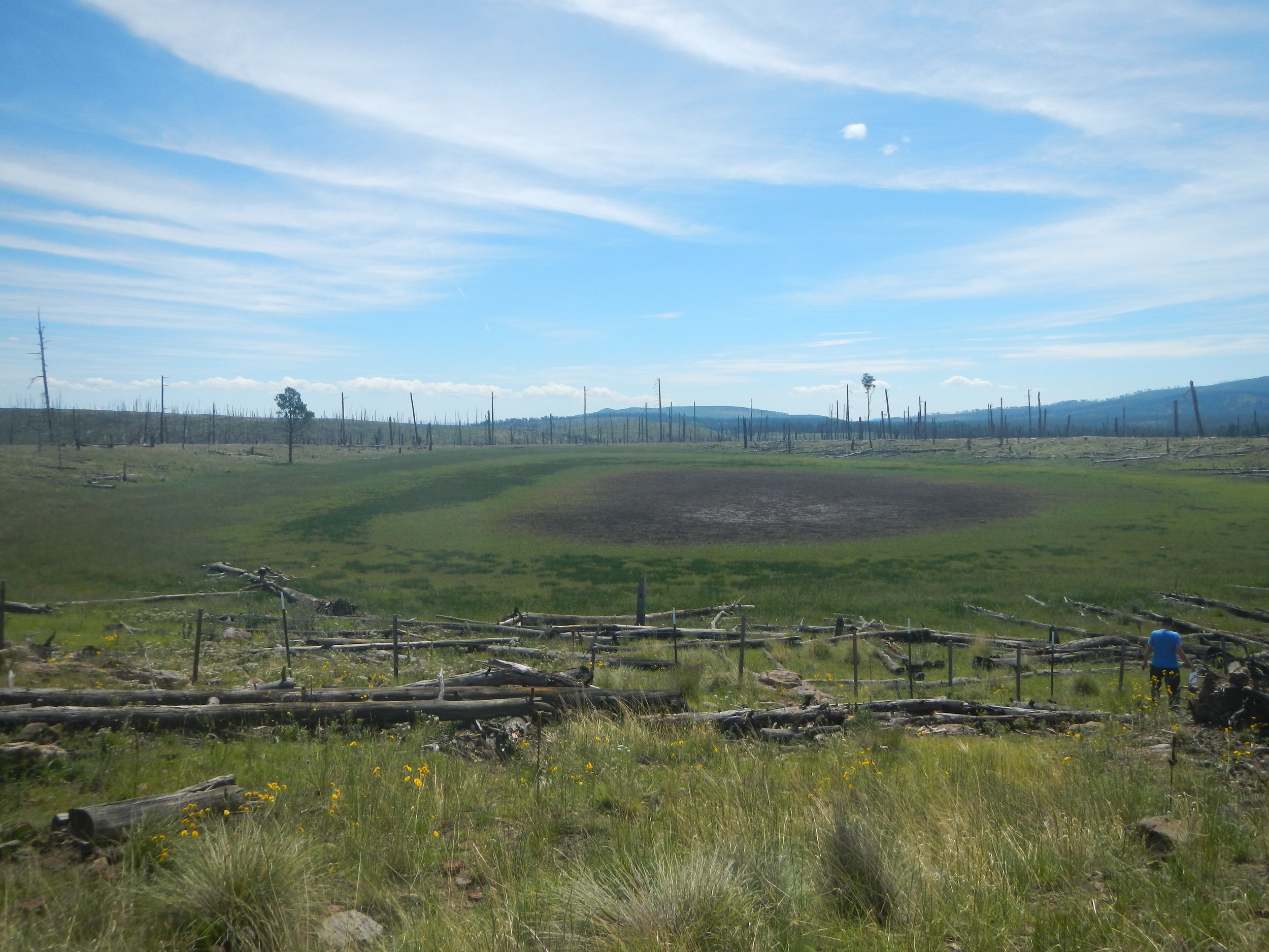
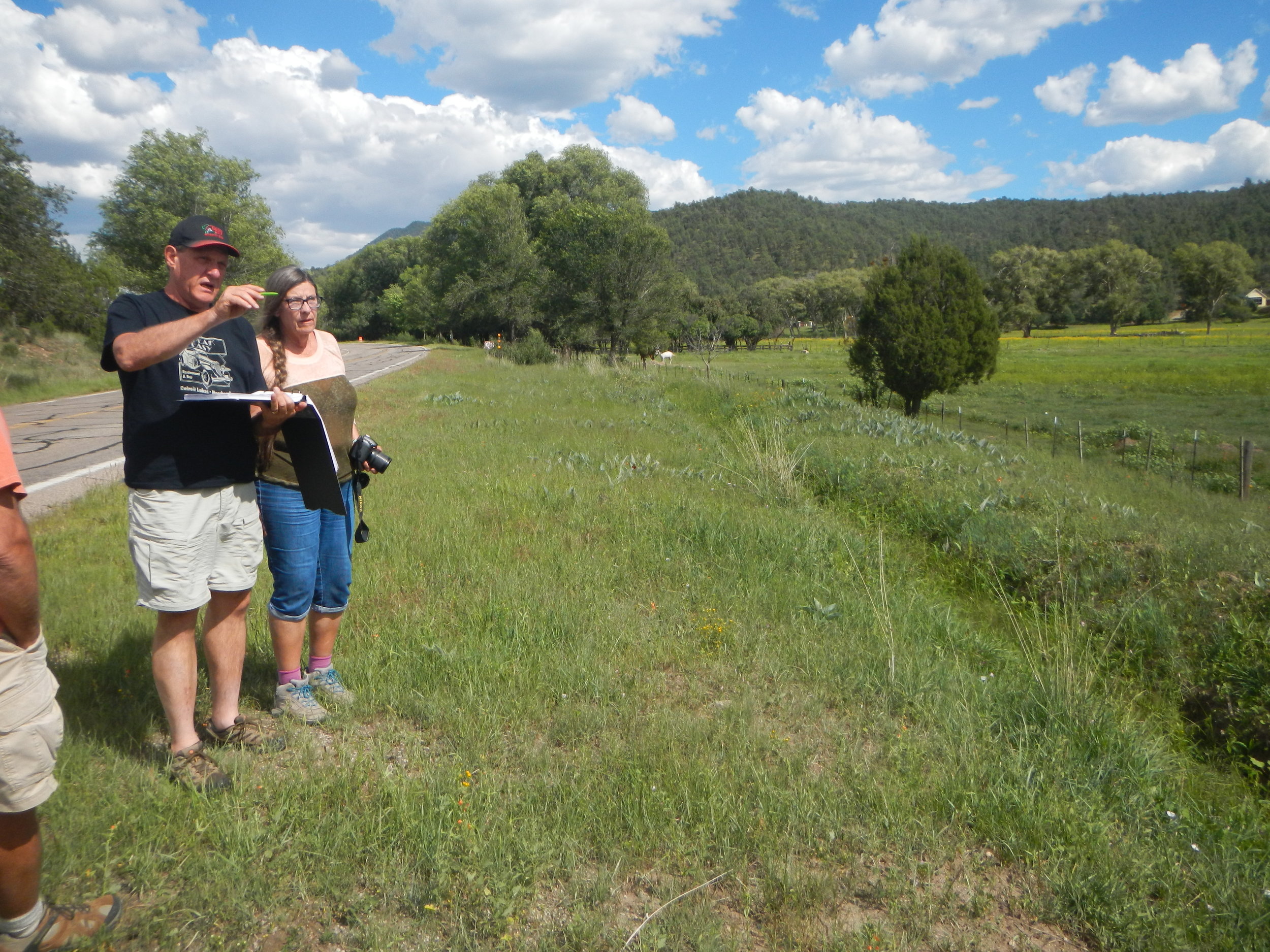
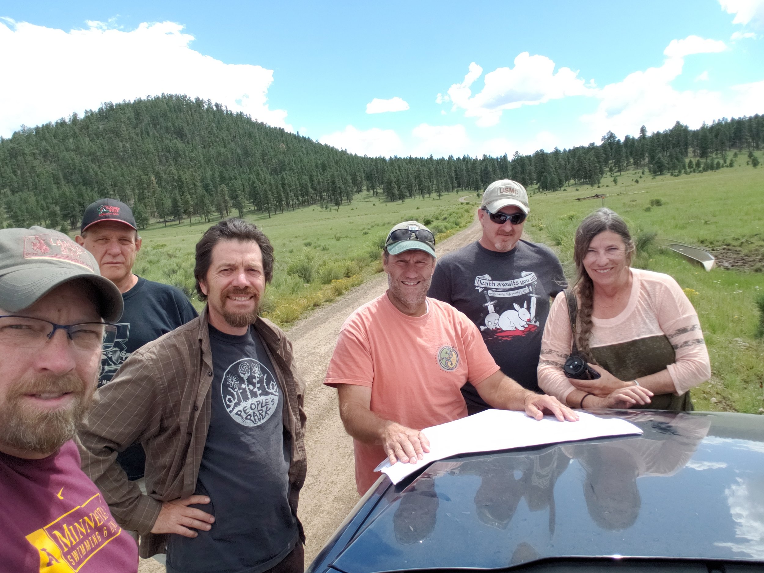
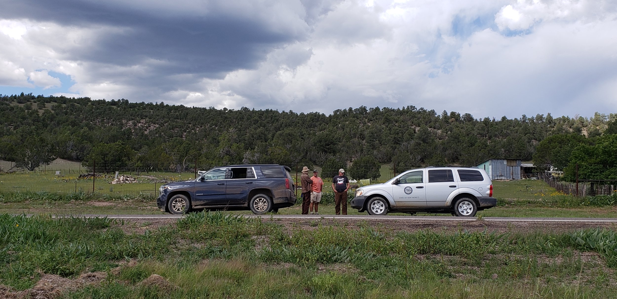
GSS in New Mexico’s Aldo Leopold & Gila Wilderness Areas and Gila National Forests for wetland mapping
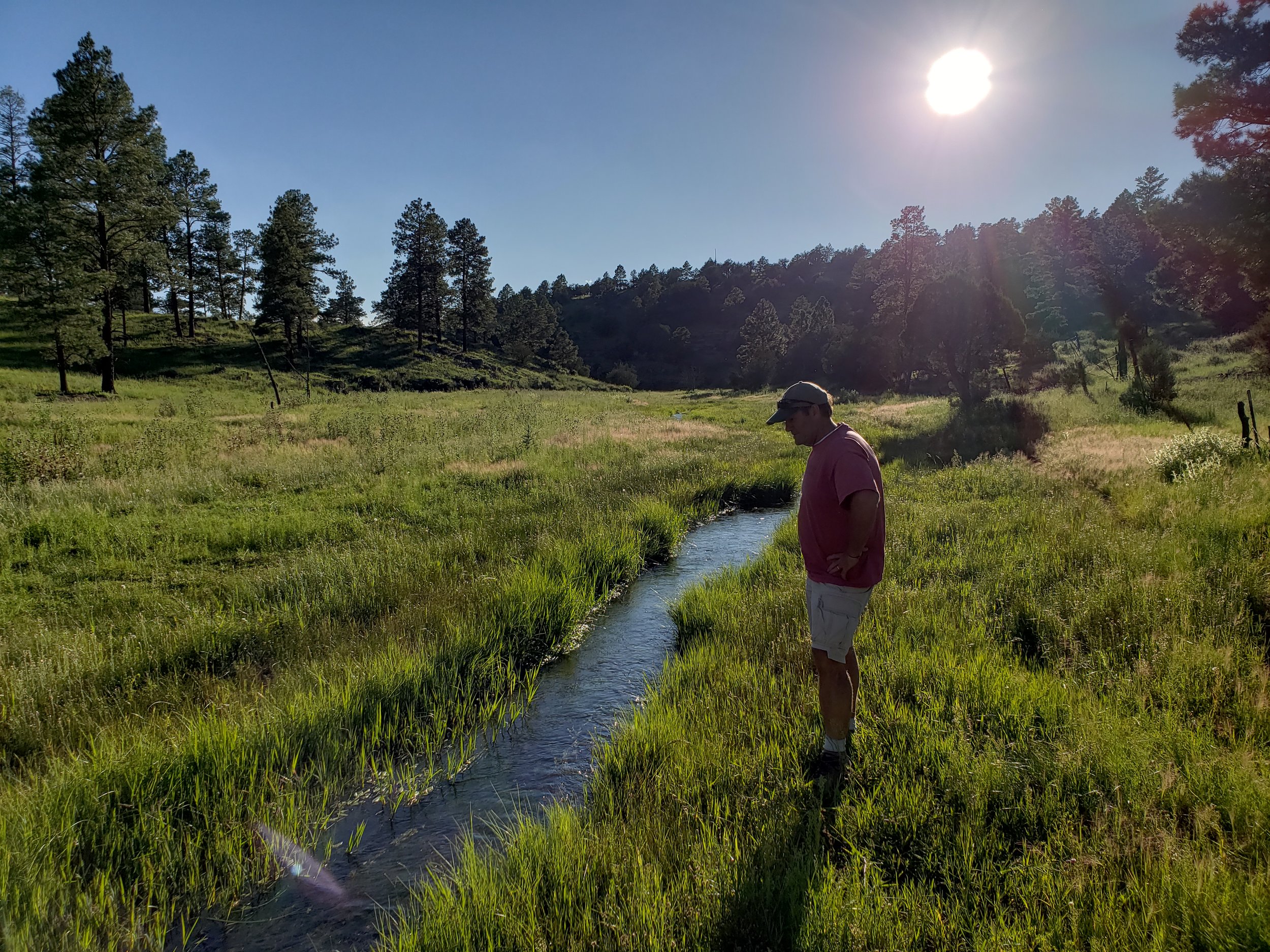
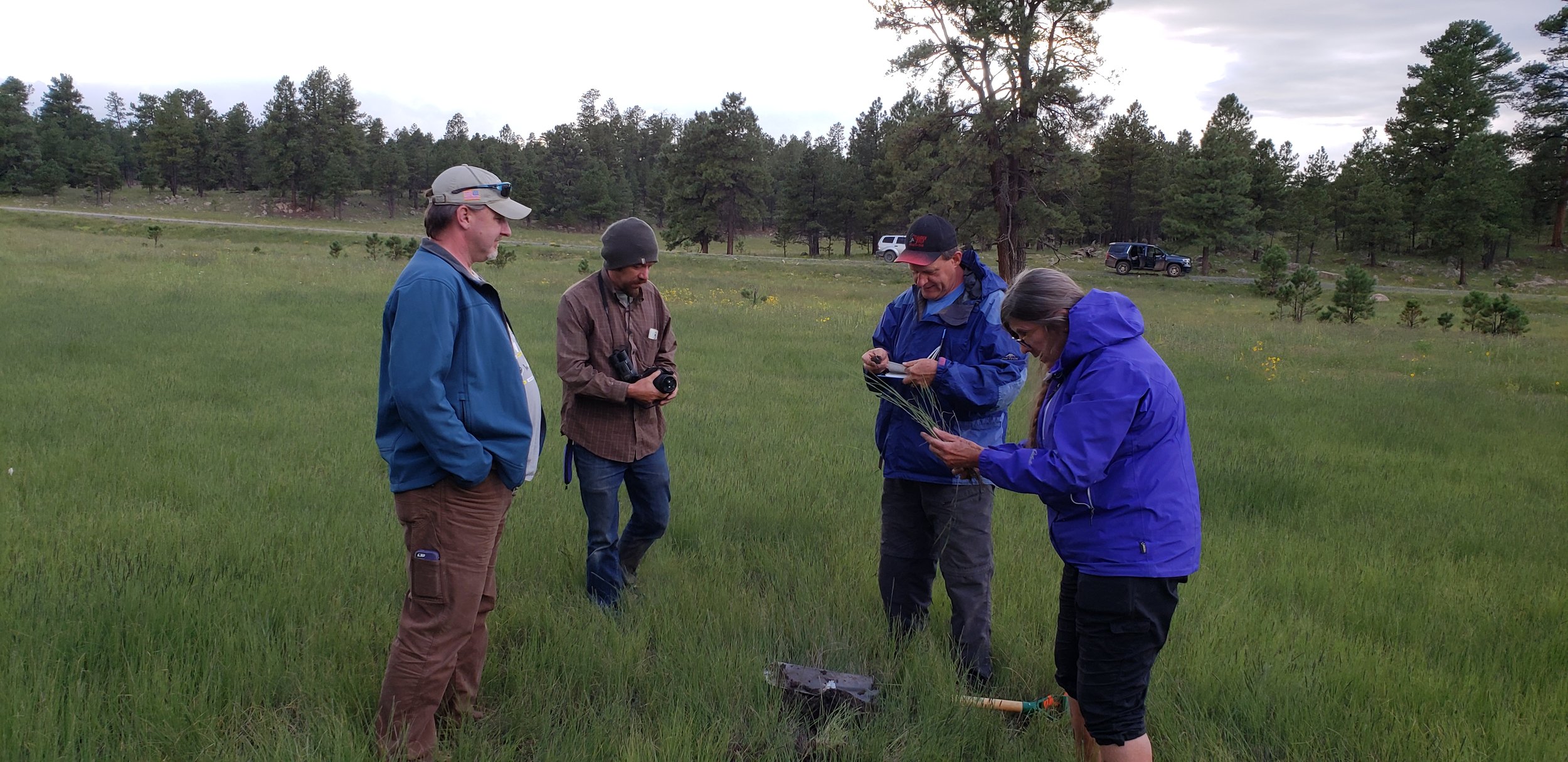
GSS Executive Director Andy Robertson, Sr. Photo Interpreter John Anderson and staff member Eric Lindquist recently returned from fieldwork in southwestern New Mexico. The three were accompanied by staff members of the New Mexico Environmental Department as well as U.S. Fish and Wildlife Service’s National Wetlands Inventory program.The group was gathering insight on wetlands in the study area for an upcoming mapping project. Area hydrology, vegetation, local knowledge, satellite imagery and other characteristics were gathered and compared for the landscape-level mapping. The knowledge and data gathered goes back to the office and a 'wetland key' is created for photo interpreters to guide them in creating modern digital wetland and riparian area data. This process, referred to as ‘Pre-mapping Fieldwork’, along with ‘Draft Map Review’ fieldwork and a rigorous ‘Quality Control’ process will lead to completion of the wetland-mapping data product. The visit also included a joint presentation by GSS and NMED to stakeholders and invited groups on the process and goals of the project. When completed, this two-year project will result in the first-ever comprehensive wetland inventory for this region of the state.
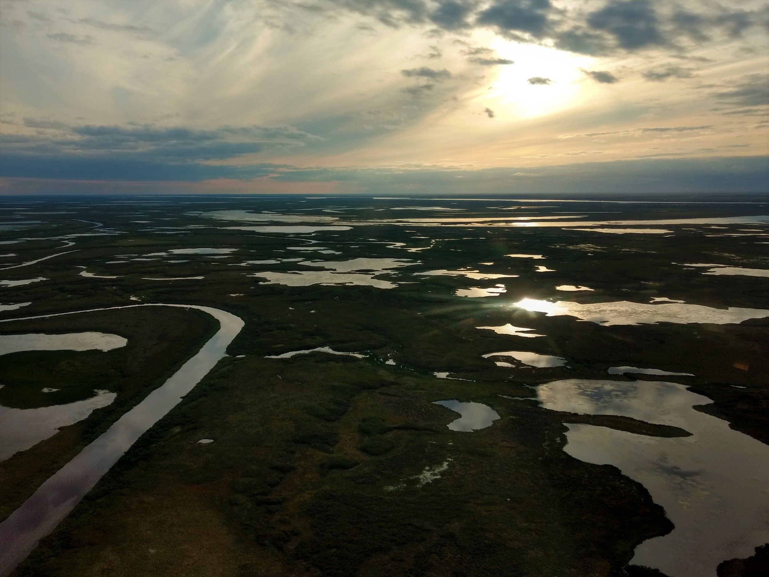
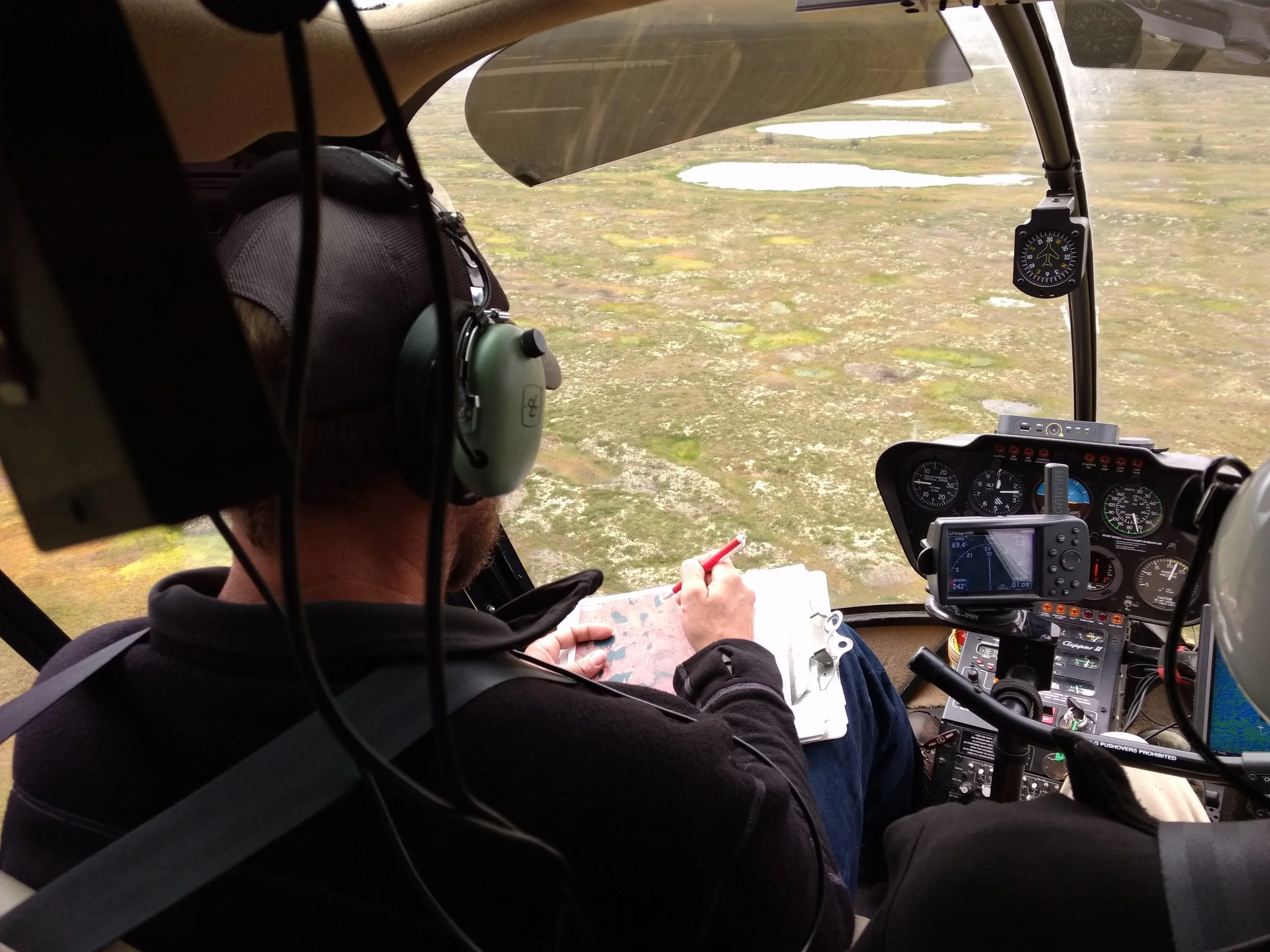
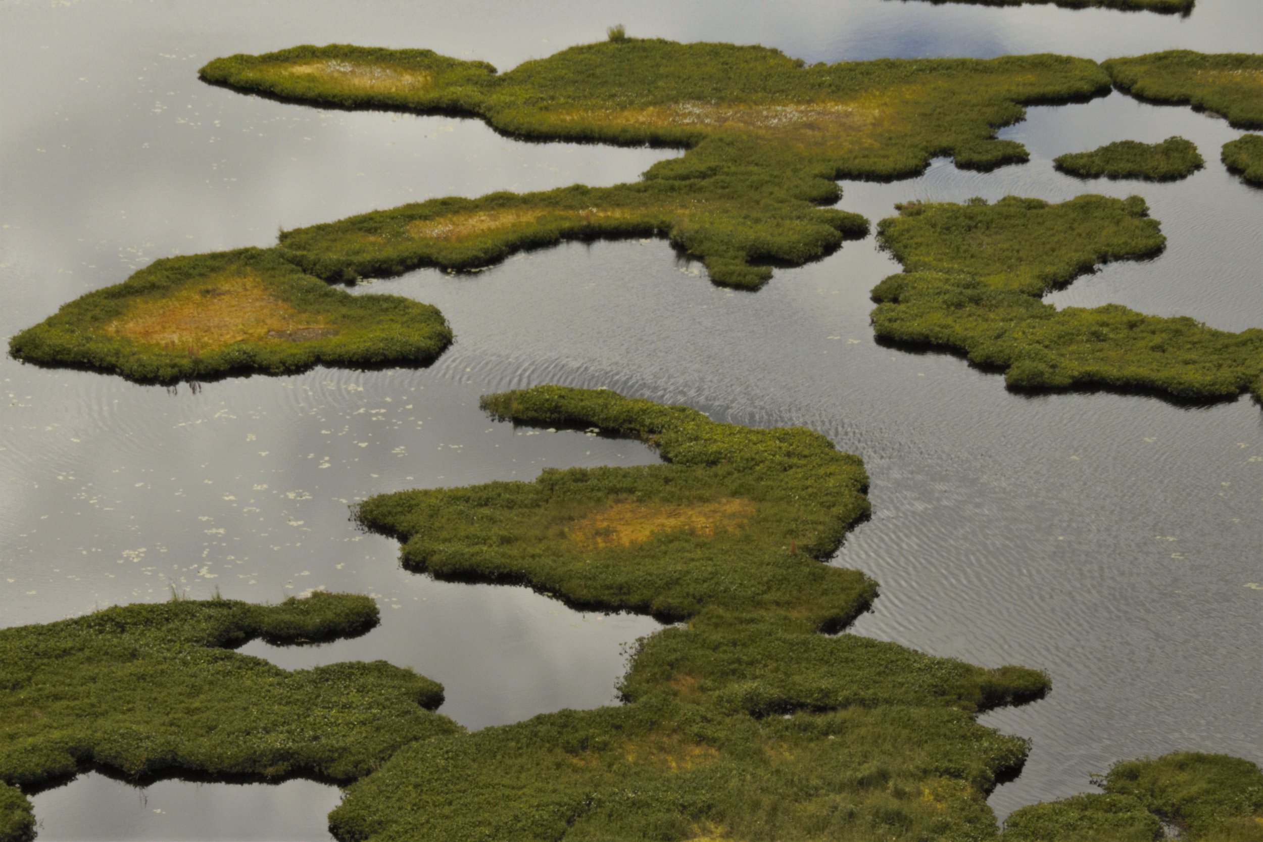
GeoSpatial Services Fieldwork in the Kuskokwim River Basin, Alaska
GeoSpatial Services director, Andy Robertson, and project manager, Kevin Stark recently traveled to western Alaska for reconnaissance and wetland mapping validation fieldwork in the Kuskokwim River Drainage. They were joined on the fieldwork by the new National Wetland Inventory Coordinator for the U.S. Fish and Wildlife Service’s Alaska Region 7, Elizabeth Powers, in Bethel, Alaska. The team contracted a helicopter to fly them to pre-determined field locations where they were able to verify satellite imagery signatures and to build a library of reference photos and observations of wetlands and hydrography*. This process involved examining available satellite imagery, correlating signatures to observations from the helicopter, and some on-the-ground field sampling such as identifying dominant vegetation, identifying hydrologic indicators of wetlands, and taking soil samples to confirm hydric soils. They also saw a variety of wildlife, including bears and moose, and observed the impacts of historic gold mining in the area.
* hydrography is the science of surveying and charting bodies of water, such as seas, lakes, and rivers.


GSS Spotlight!
JAMES LOKEN
What is your education and professional background?
I am currently a Senior studying Computer Science with a GIS emphasis. This is a 4+1 program so immediately after graduation I plan to enroll in the Data Intelligence and GeoAnalytics M.S. program at Saint Mary's University. I have no prior background in GIS, but I have been working at GSS for almost a year on the Minnesota and Vermont NWI updates.
What led you to GIS? More specifically, how did you get to Saint Mary's University of Minnesota (SMUMN) in Winona?

I am a local from Houston, MN so I was no stranger to Saint Mary's. I attended PSEO my junior year at SMUMN and after attending Winona State my senior year I decided to go to SMUMN, mainly because of the GIS program and it being close to home. I learned about the GIS program from my high school geography teacher, which led me to look into it, because at the time I wanted to be a land surveyor.
Explain briefly a project at GSS you've done that contributed to your overall knowledge and educational experience.
A project I have contributed to was the Vermont NWI update. My work on this project has been mainly creating linears along with correcting buffered line work. This project has greatly increased my knowledge of water flow patterns and also exposed me to a new a type of wetland mapping. I have also been able to increase my knowledge of how to analyze various collateral data such as hillshade and CIR imagery.
How do you see GIS fitting into your future?
Well, as of now I have no set plans on what career path I will follow, but it will definitely involve GIS. In the short term I plan to continue working at GSS until I complete my Master's, then decide where I want to go from there. In the future I want to do some sort of surveying/field analyst work or something involving LiDAR and remote sensing.
Where can we find you outside of GSS?
Outside of GSS I am normally found either in Winona or at my parents' farm. In my free time I enjoy kayaking, fishing, motorcycling, playing basketball and helping around the family farm and businesses.
GSS Spotlight!
AL RABINE
Student Intern
What is your education and professional background?

I graduated from Augsburg College (Now Augsburg University) with a degree in Environmental Studies and a minor in Sociology. After Augsburg I continued my education at Penn State University where I received my certificate in GIS. Currently I also work for the Minnesota Geospatial Office at the State of Minnesota, working on the next gen 911 and the local update of census addresses (LUCA) projects.
What led you to GIS? More specifically, how did you get to Saint Mary's University of Minnesota (SMUMN) in Winona?
I was exposed to GIS for the first time during my senior year at Augsburg. I was interning at an environmental consulting firm called Dovetail Partners which was tasked in planning a sustainable ATV/OHV trail in Aitkin and Itasca counties in northern Minnesota. One of the jobs I had was to meet with a GIS analyst who used ArcMap to create a map of the proposed trail system for public feedback. That one meeting peeked my interest in the world of GIS. After receiving my undergrad degree I wanted to explore GIS even more, so I received my certificate in GIS from Penn State. After receiving my certificate I found out that my cousin works with GIS for NASA, specifically LiDAR data and after a couple conversations with him I realized that I could do this for a living. This prompted me to apply to the Saint Mary’s Masters of GIS program.
Explain briefly a project at GSS you've done that contributed to your overall knowledge and educational experience.
I started out at GSS doing break line edits for Douglas county Wisconsin. After a week or two of that I was tasked to help with the NWI update in Wyoming. Both these projects have had an impact on my educational experience as my capstone project uses a lot of the techniques from these two projects. These two projects have helped me learn how to interpret different types of terrain using a multitude of different methods along with learning about different types of wetlands, which was something I have always been interested in.
How do you see GIS fitting into your future?
Ever since I received my certificate in GIS I knew I wanted to work in that field. More specifically natural resources with an emphasis in remote sensing and image analysis. Helping protect the natural environment is a very rewarding endeavor and using GIS to help accomplish this is something that I would like to do in the future.
Where can we find you outside of GSS?
Outside of GSS you can find me with my dog Levi at the park. I also enjoy playing guitar, rock climbing, hockey and playing as many board games I can with friends.
GSS Staff at International Conference
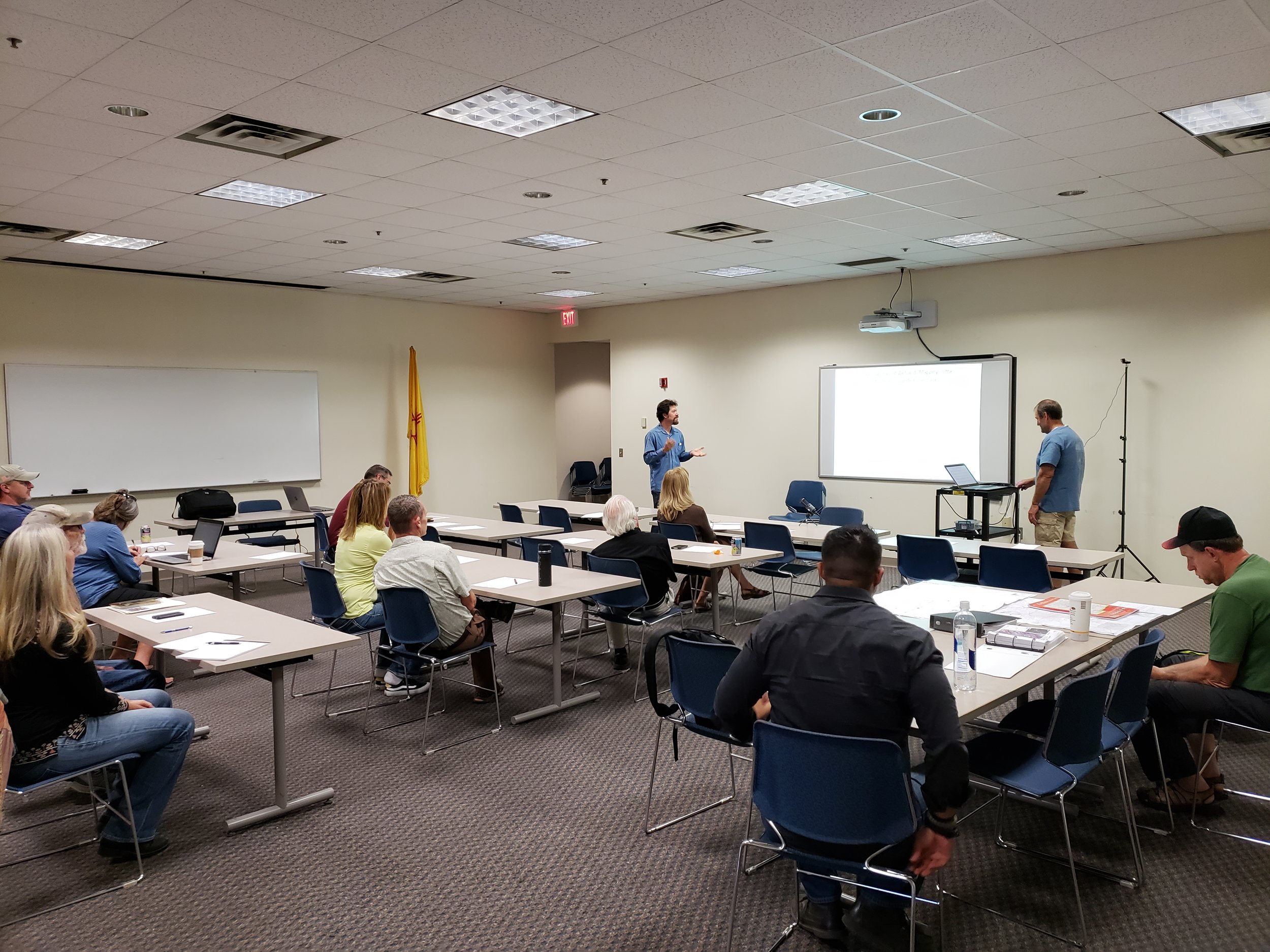
In mid-July, GSS staff members Roger Meyer (GIS Developer/Analyst) and Kevin Benck (GIS Analyst) attended Esri’s annual conference for international users. Esri (Environmental Systems Research Institute) produces the most widely used software for GIS, which is used by GSS to do much of our work. The 5-day conference held at the San Diego Convention Center exposes approximately 18,000 Esri software users to over 1,000 presentations, hundreds of hours of available training sessions, and over three hundred exhibitors. Both staff members were busy at the conference learning from Esri staff and other users through the available presentations, direct technical expertise discussions, and demonstrations. Some of the topics that were their focus included Big Data and Data Analytics, Web GIS, LiDAR and GIS applications; ArcGIS Pro; ArcGIS Enterprise; and many other topics.