

NEWS

GSS Spotlight!
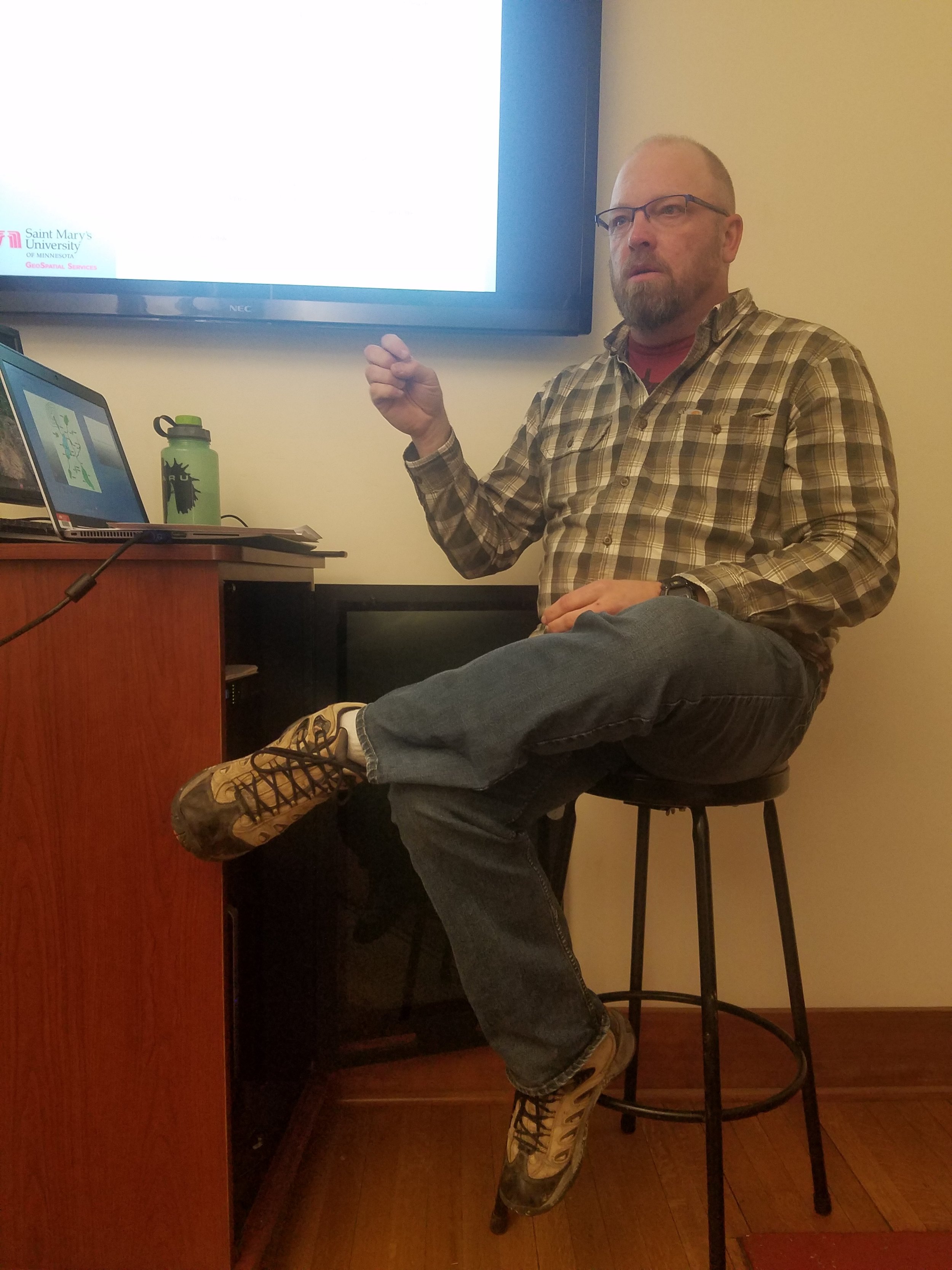
MATT HOGAN
Student Intern
What is your education and professional background?
I went to undergrad at the University of Dubuque, majoring in Environmental Science and minoring in Natural Resource Management, and playing baseball. Immediately continuing on to a M.S. in GIS at Saint Marys in Winona, that has now transformed into a M.S. in Data Intelligence and GeoAnalytics (DIGA).
What led you to GIS? More specifically, how did you get to Saint Mary's University of Minnesota (SMUMN) in Winona?
Junior year of undergrad I took an intro to GIS course, Remote Sensing, and Adv GIS, working with ArcMap pretty extensively and I immediately began to think that it was something I could see myself pursuing further and making a career of. No other course in school made me think that until GIS. It was pretty much a no-brainer when i decided I wanted to continue my education after undergrad in a Masters degree in GIS.
Explain briefly a project at GSS you've done that contributed to your overall knowledge and educational experience.
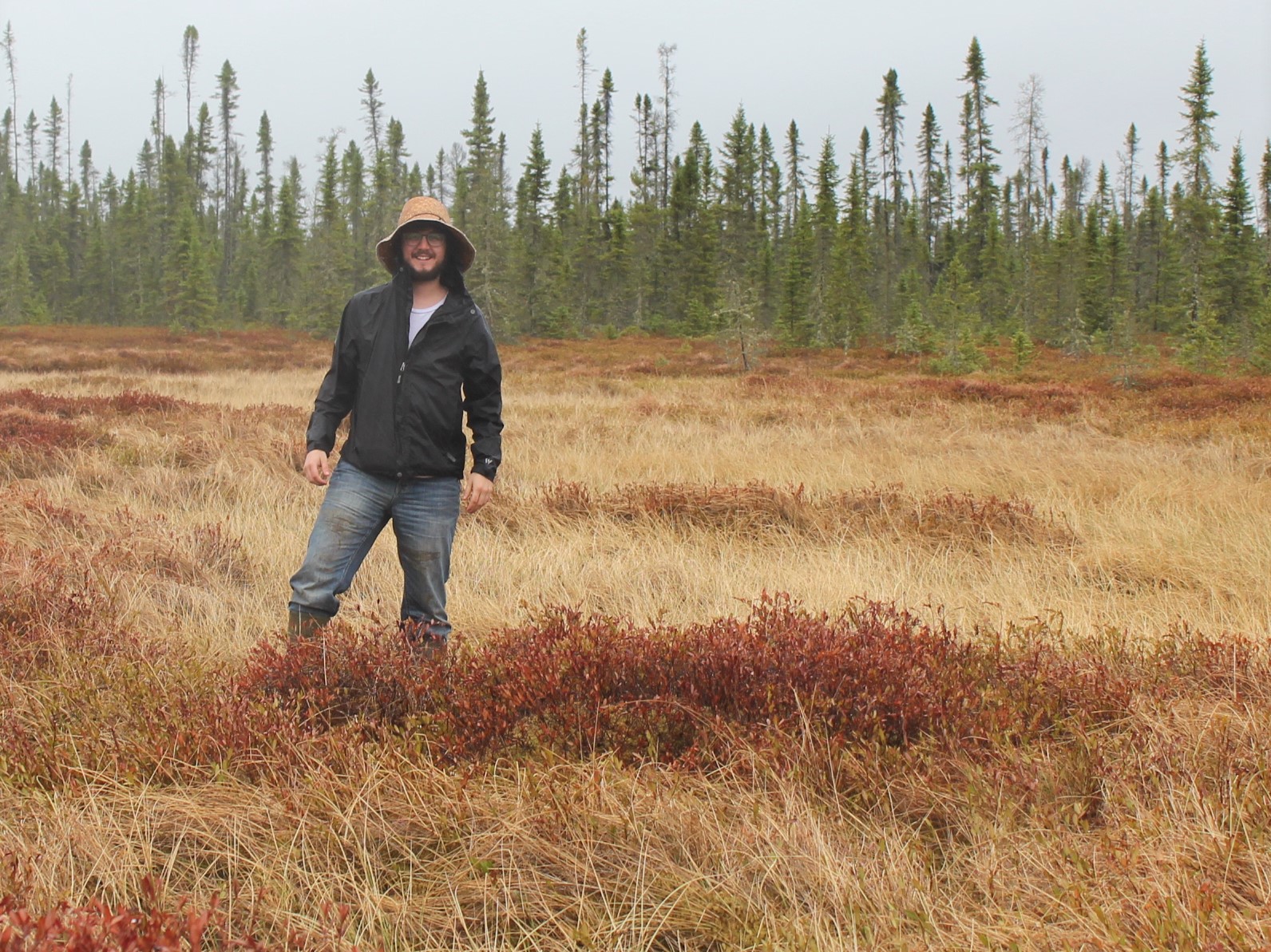
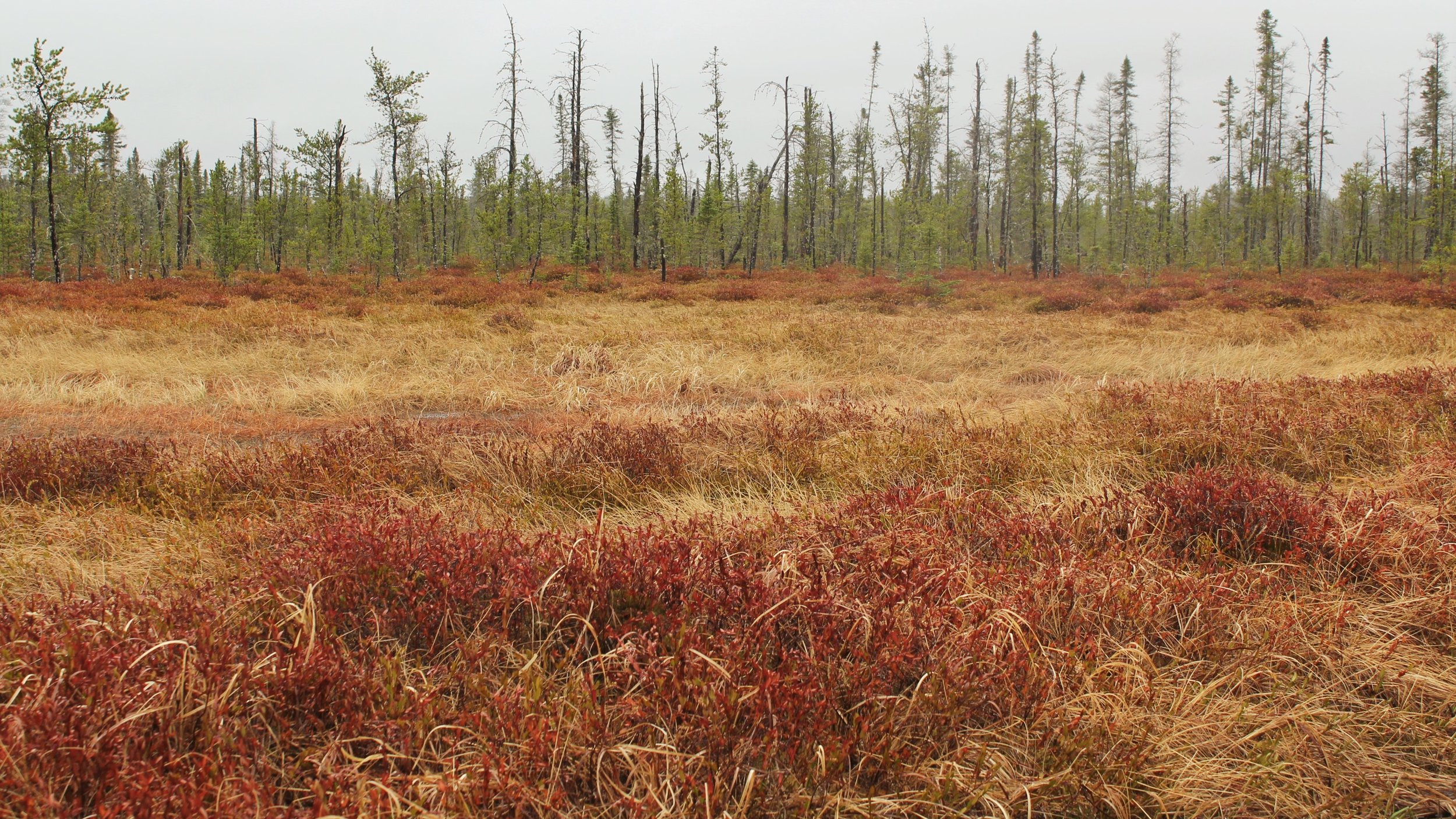
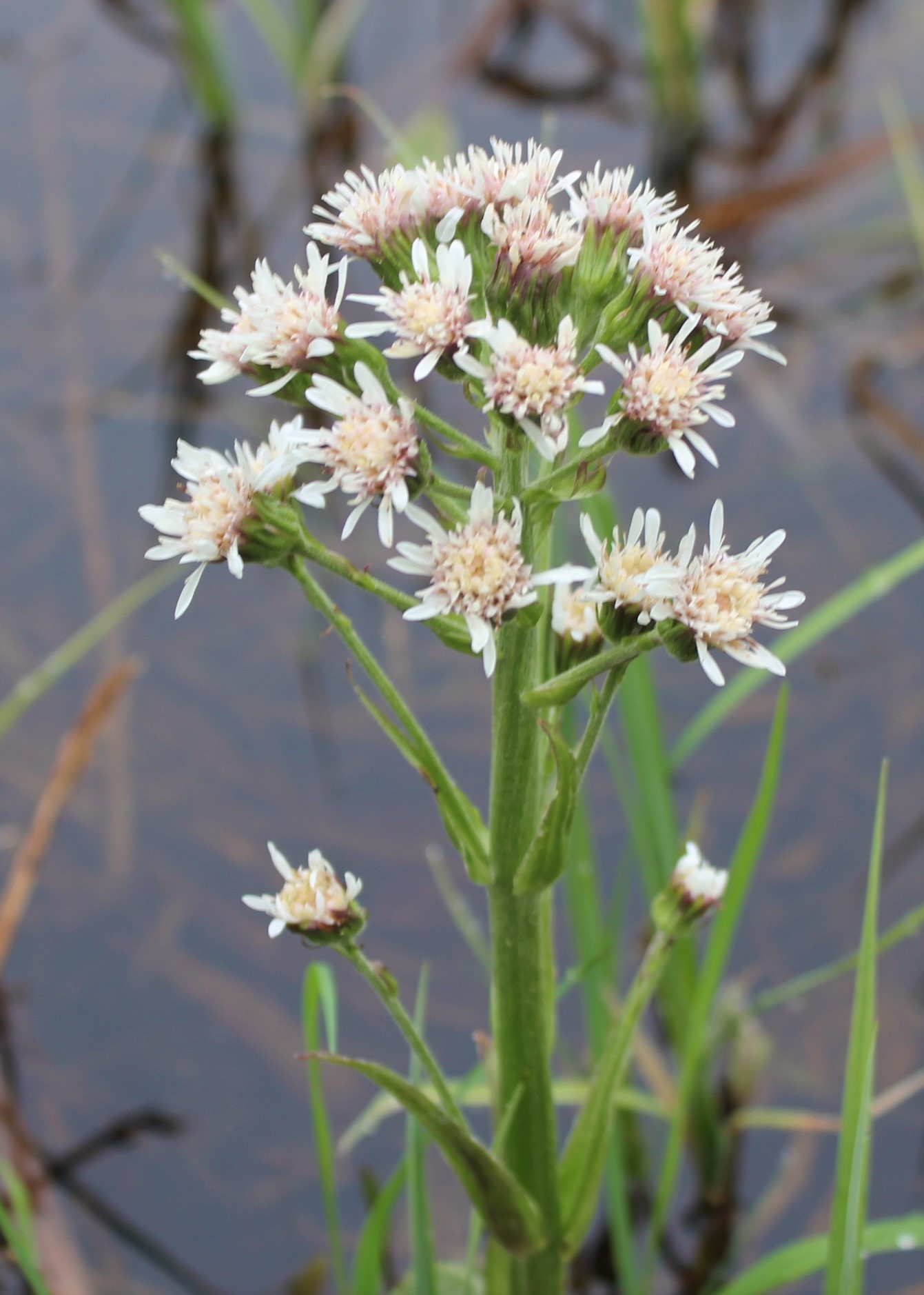
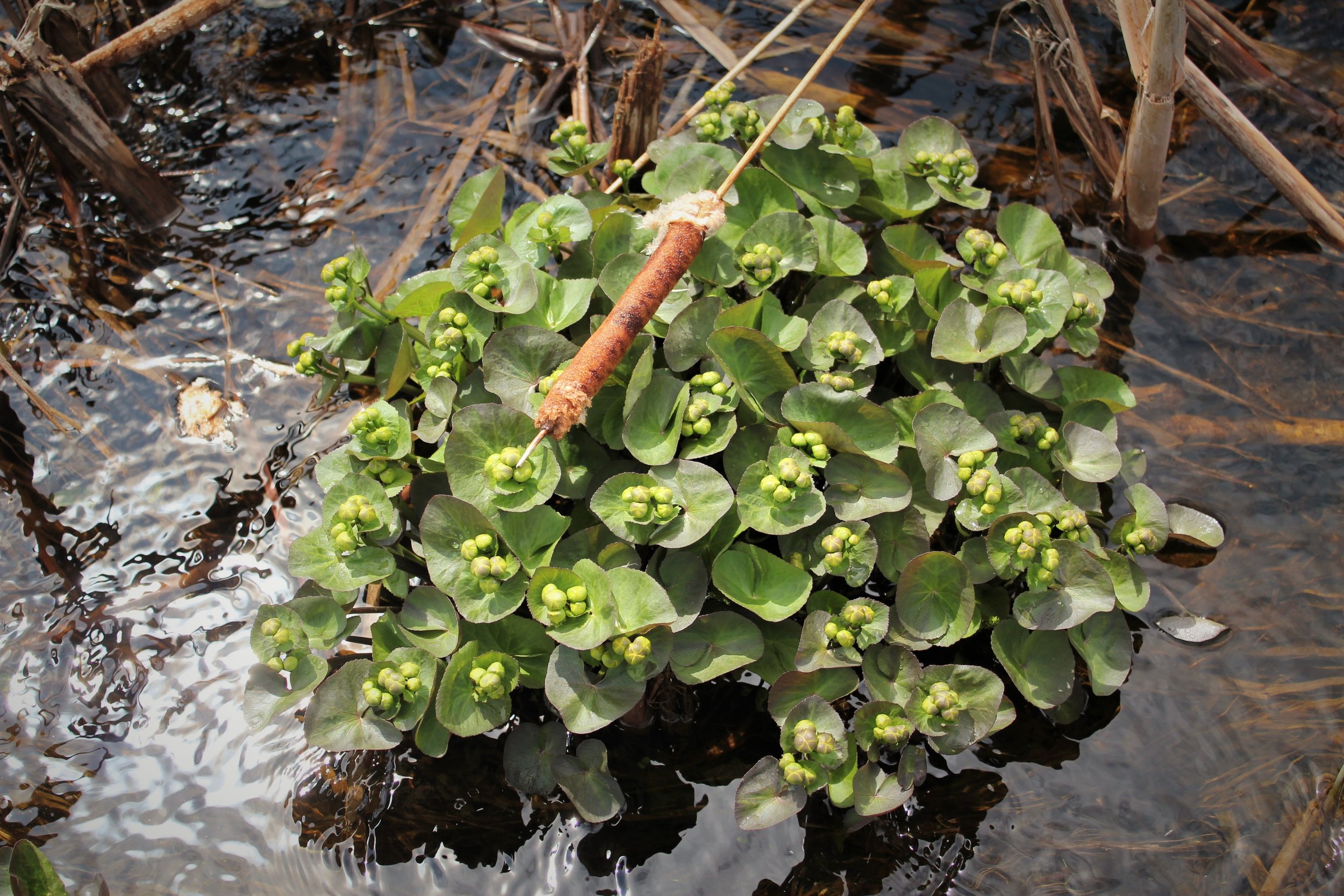
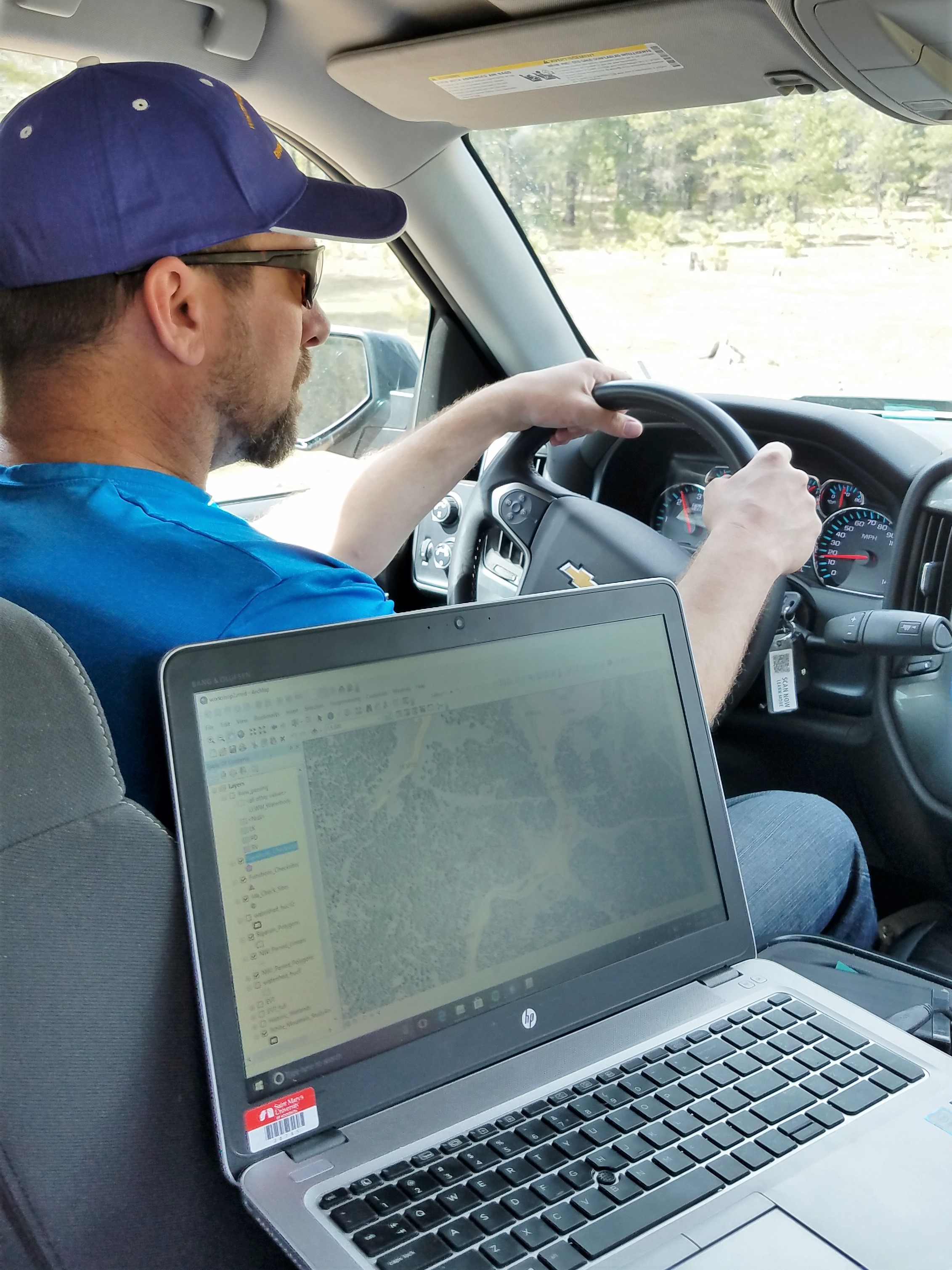
The Minnesota NWI project has been the bulk of what I have been working on here at GSS for almost a year now. I have learned how to identify many wetland plant species as well as different types of wetland complexes. I have enjoyed doing the work in my current state and on the type of terrain that I am familiar with and spend time on.
How do you see GIS fitting into your future?
My M.S. has just recently shifted a little bit from Geographic Information Science to "Master of Science in Data Intelligence and GeoAnalytics" or DIGA. I am also interested in getting a basic pilots license and exploring what else I can do with that in the world of GIS, Data Intelligence, and GeoAnalytics. I am still open to any and all possibilities. I am hoping to stay in the Upper Mississippi River Valley area.
Where can we find you outside of GSS?

You can find me fishing for walleyes or hunting waterfowl in the fall, mainly on the "Mighty Miss" but also anywhere across the upper midwest. Secondary to fishing and waterfowling, I also dabble in a bit of turkey hunting, morel hunting, bow fishing, and anything out of doors. If I am not in the great outdoors, I am obsessing over the Cubs at beautiful Wrigley Field, cheering for the Bears, watching the Blackhawks, or waiting for someone to come save the Bulls, in that order.
GSS Spotlight!
Darren Omoth

Student Intern
What is your education and professional background?
I have an Associates Degree in Computer Administration and Technology, as well as a B.A. in Geoscience with a Computer Science minor. Before joining GSS, I worked at several jobs in manufacturing. I also spent a summer doing GPS stream surveys, and another working as an assistant to a county surveyor.
What made you get into GIS? More specifically, how did you get to Saint Mary's University of Minnesota (SMUMN) in Winona?
One of our required classes for my Geoscience degree at Winona State was an Intro to GIS class. We used GIS in some of our later classes and I used GIS extensively for my senior capstone project. I first found out about the Saint Mary's M.S. GIS program when a professor from the program came to WSU to talk to our GIS class.
Explain briefly a project at GSS you've done that contributed to your overall knowledge and skillset.
Working on the Northwest MN NWI project has taught me a lot; everything from wetland types throughout Minnesota to using GIS tools to find answers. The team meetings we have help reinforce many of the ideas we learn about project management and teamwork.
How do you see GIS fitting into your future?
Moving forward, I would like to use GIS working in an environmental-related field. Seeing how important and prevalent spatial analytics are becoming, I think using GIS to help understand the world better will be both rewarding and satisfying.
Where can we find you outside of GSS?
When I'm not at work, I like to ride my bike and have recently started kayaking. I also enjoy spending time with my wife and daughter either at home or traveling. When I can, I like to visit science museums and old libraries.
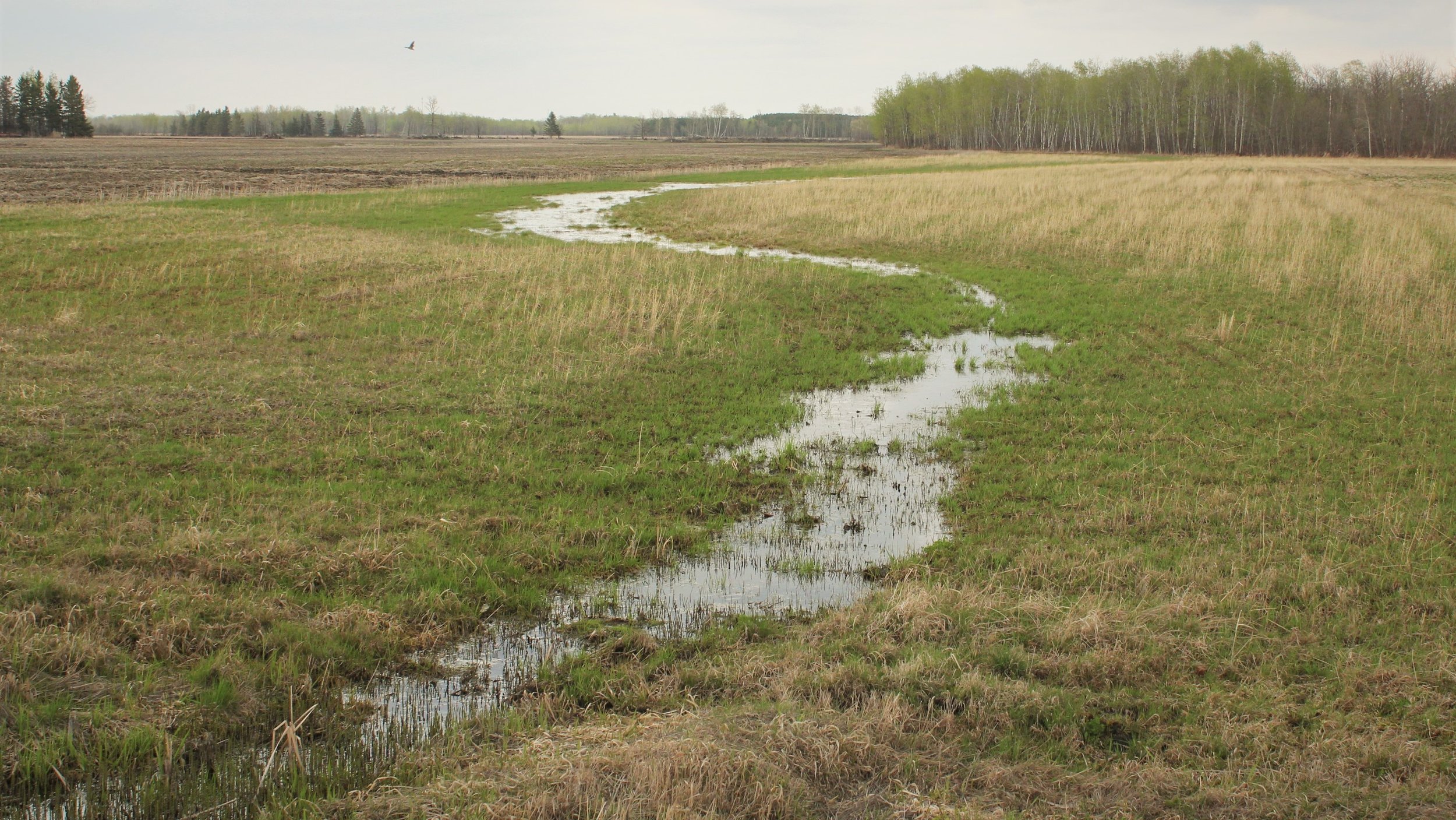
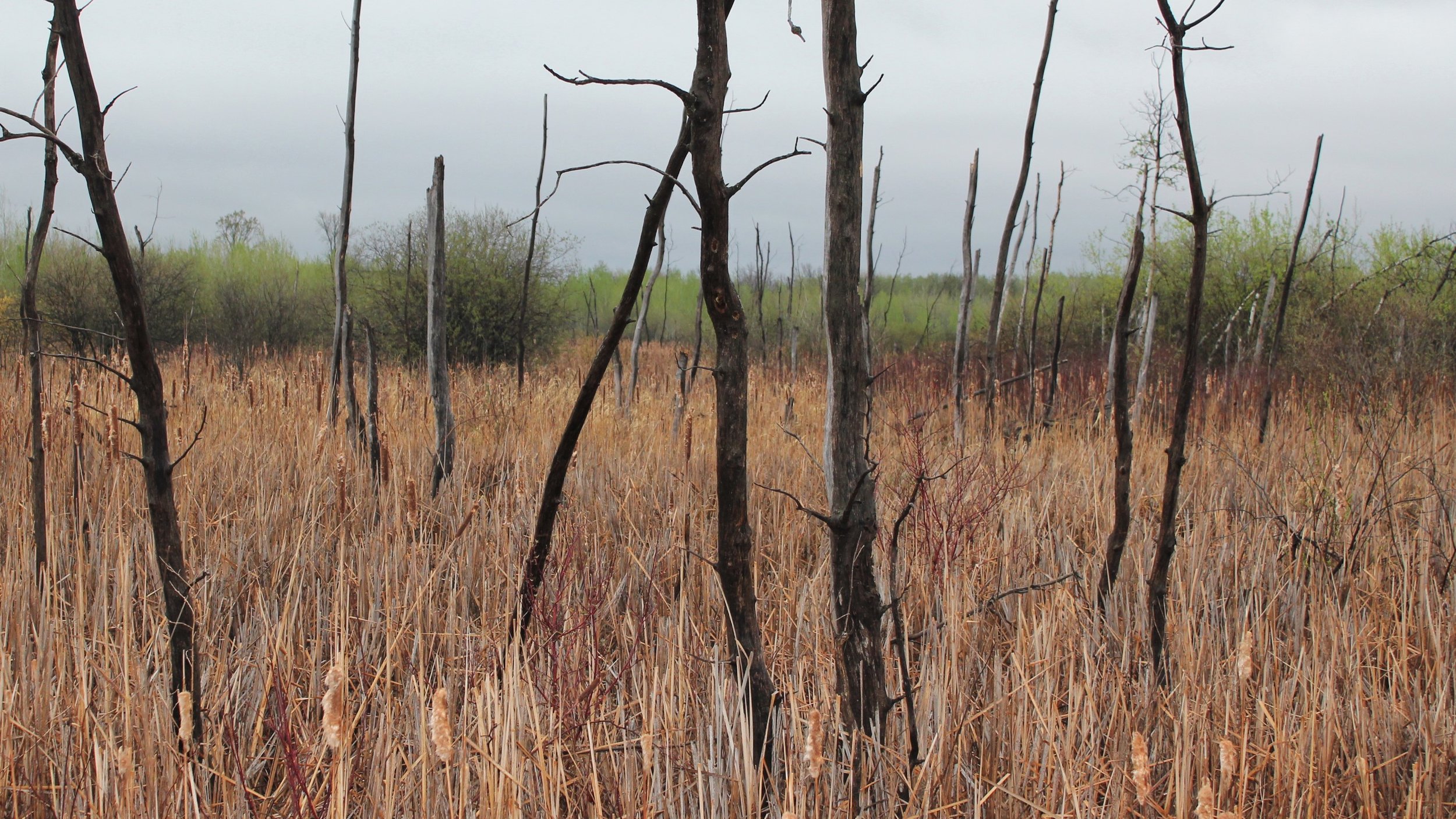
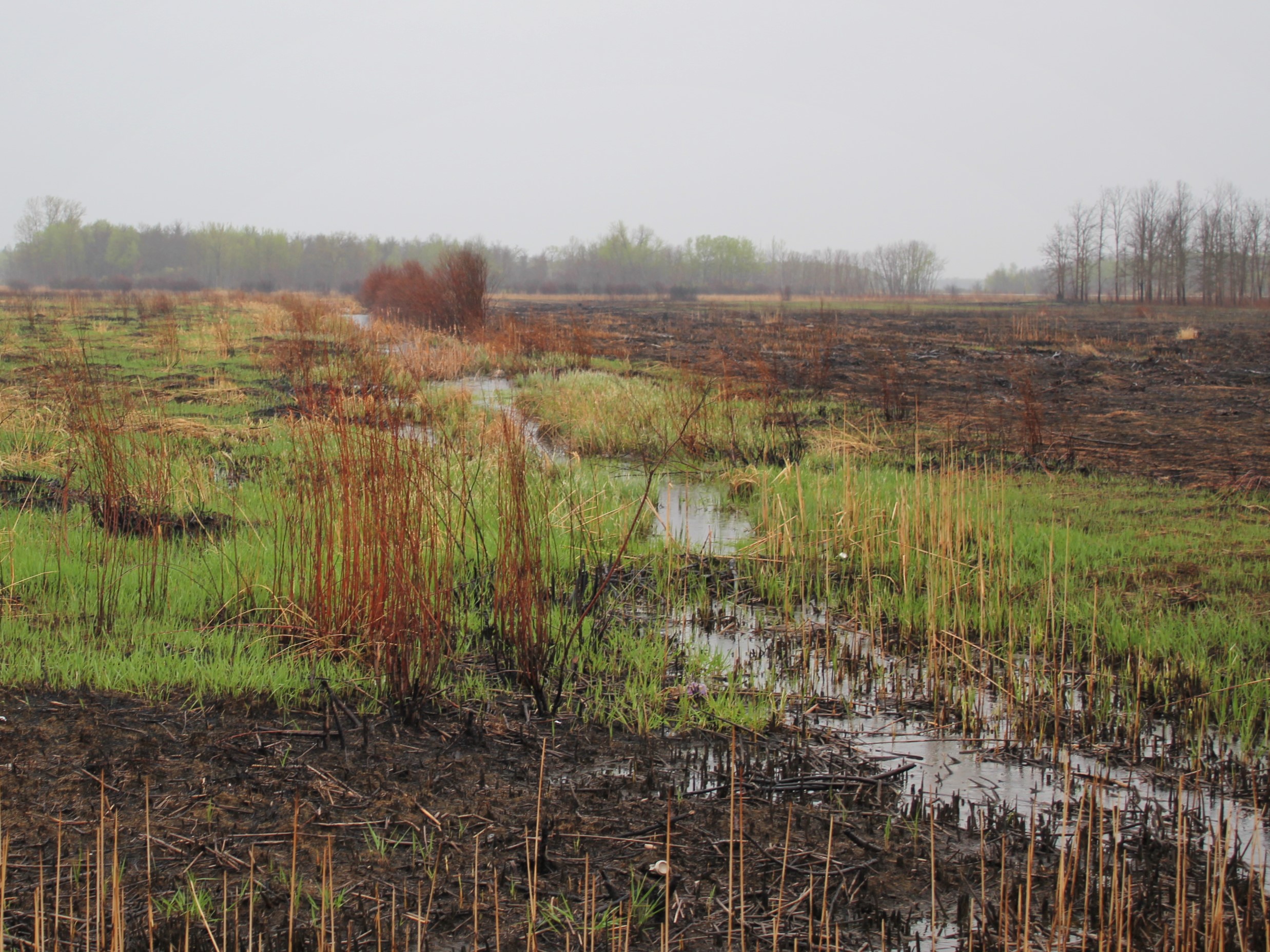
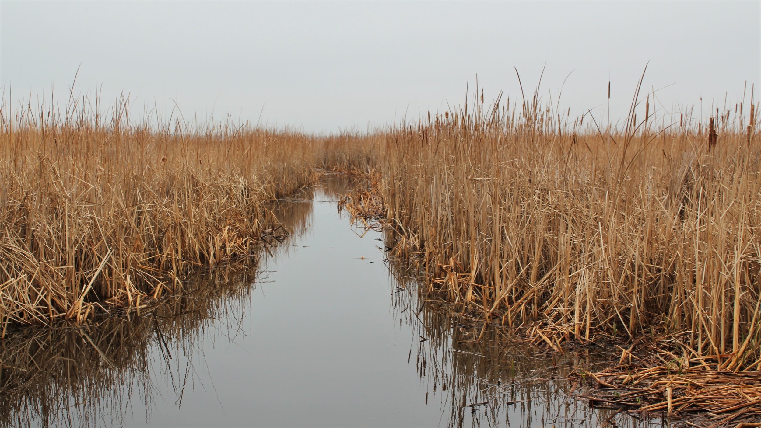
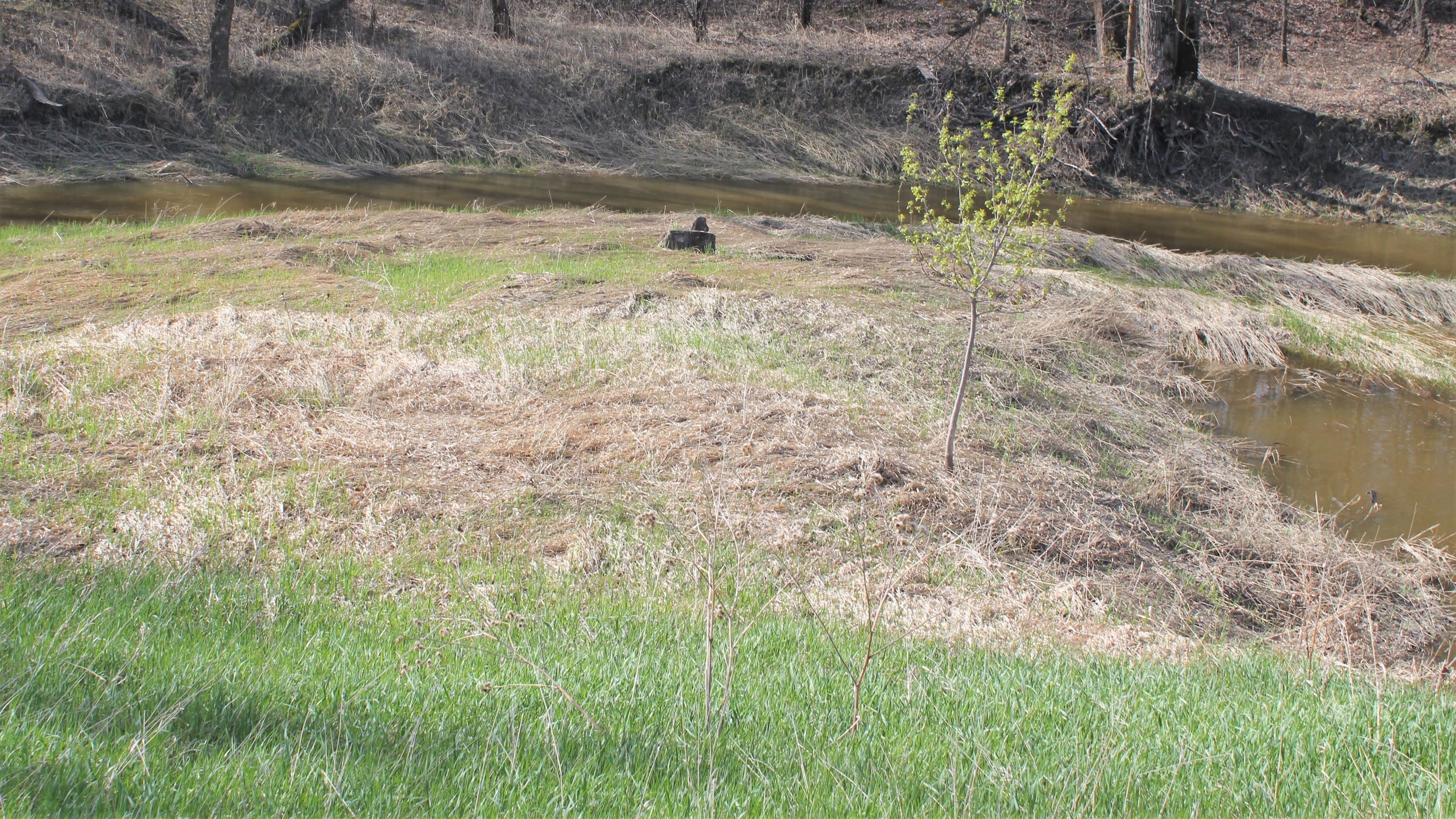
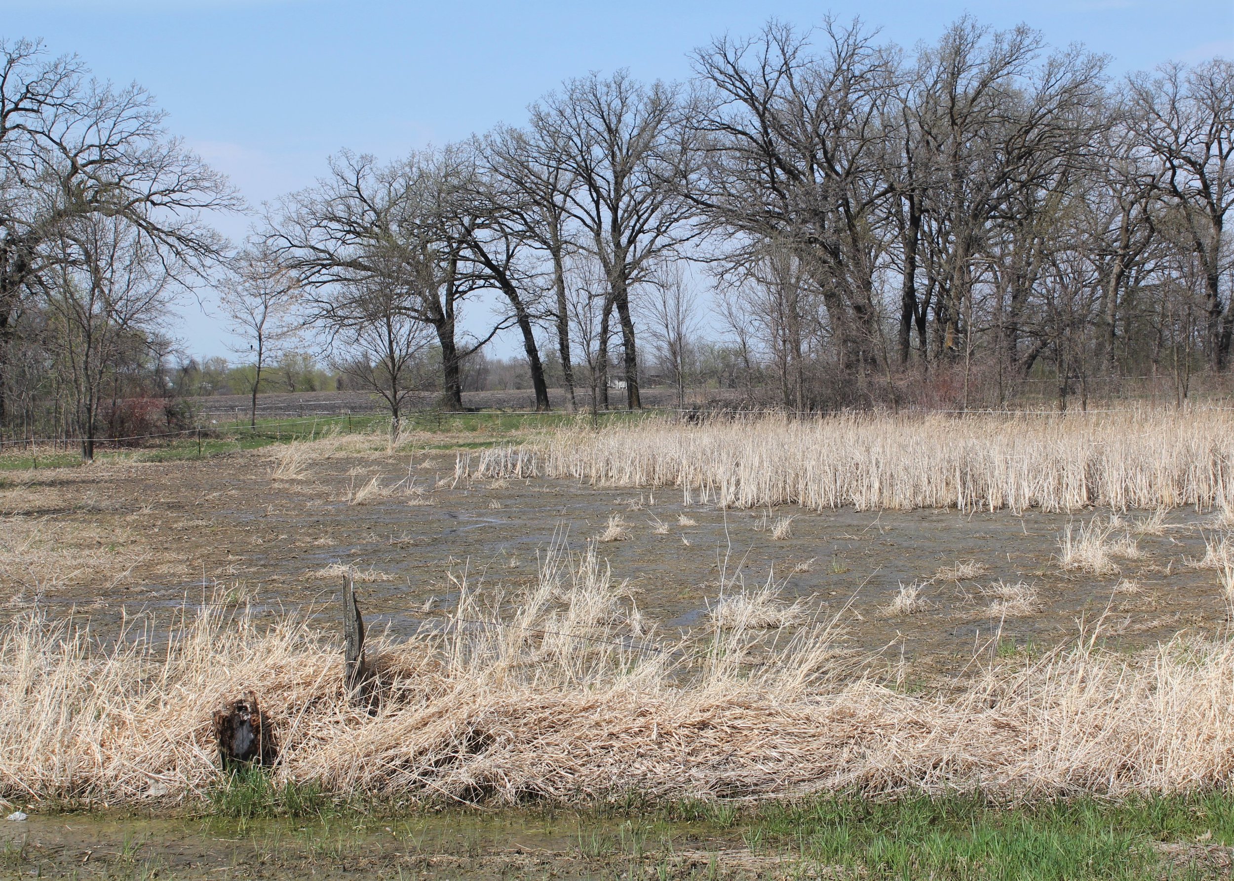
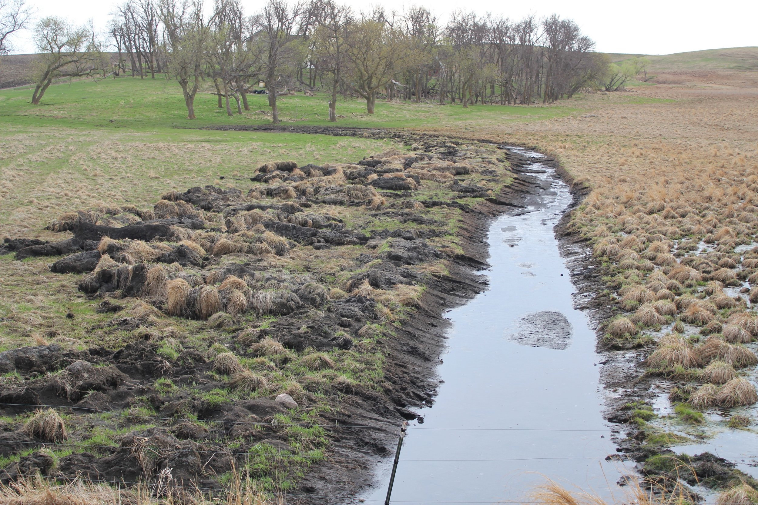
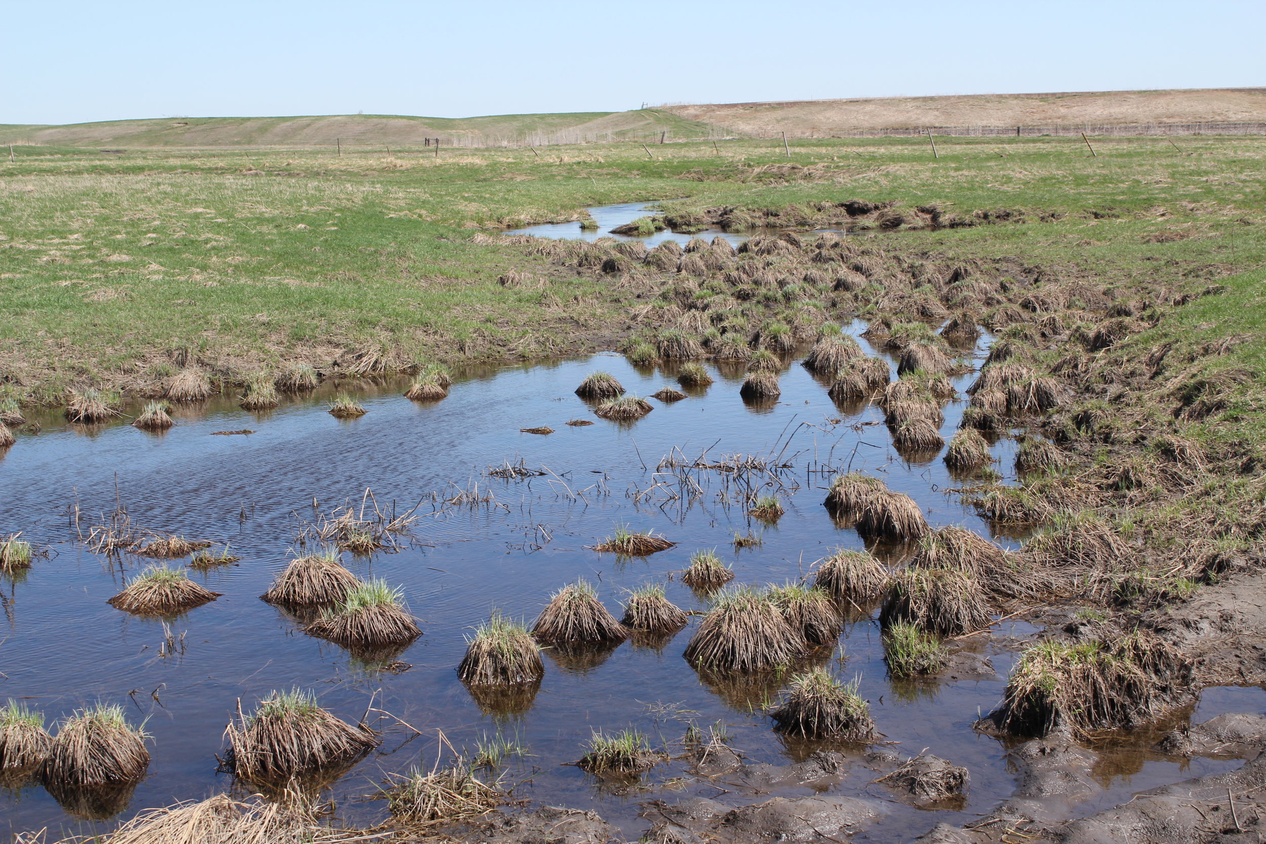
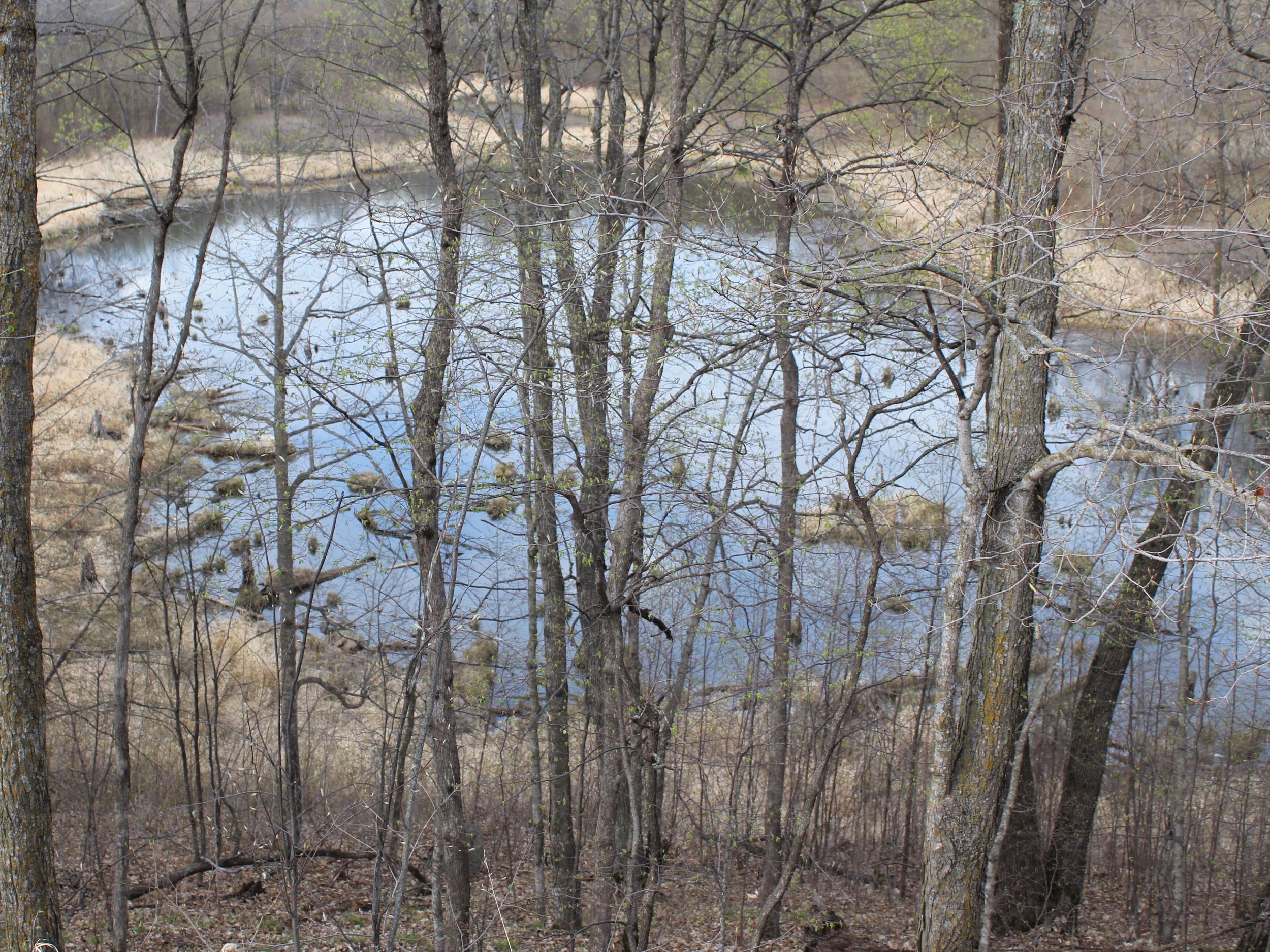
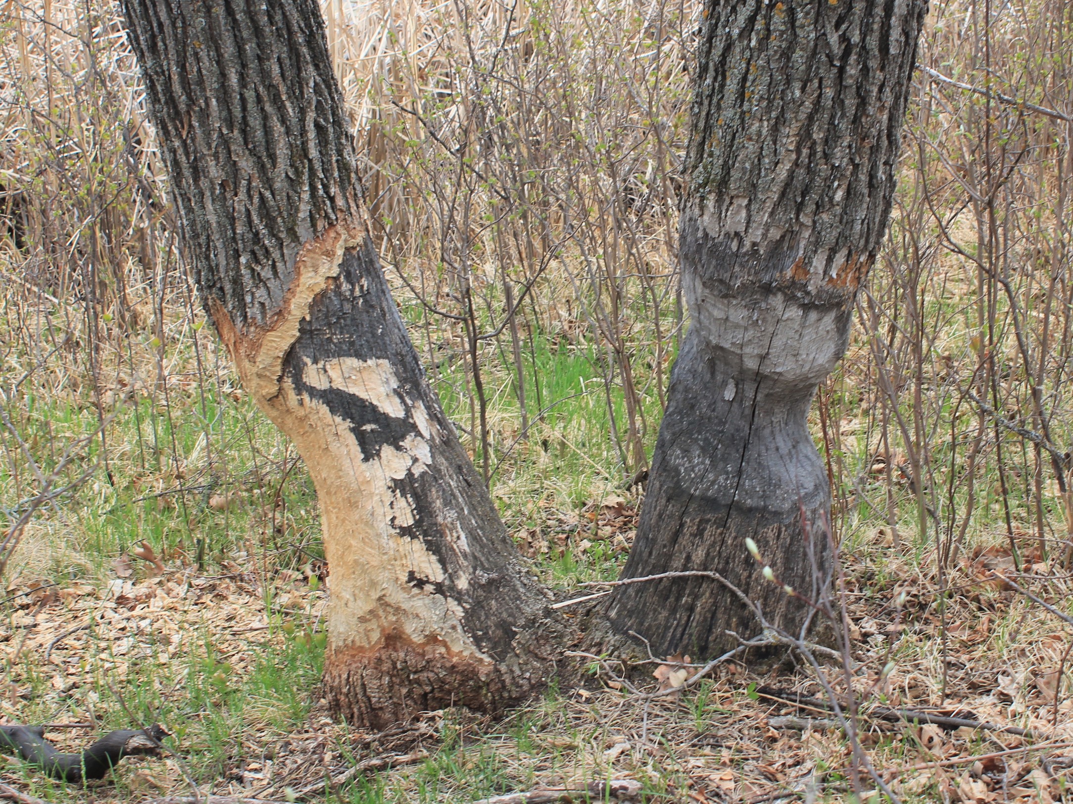
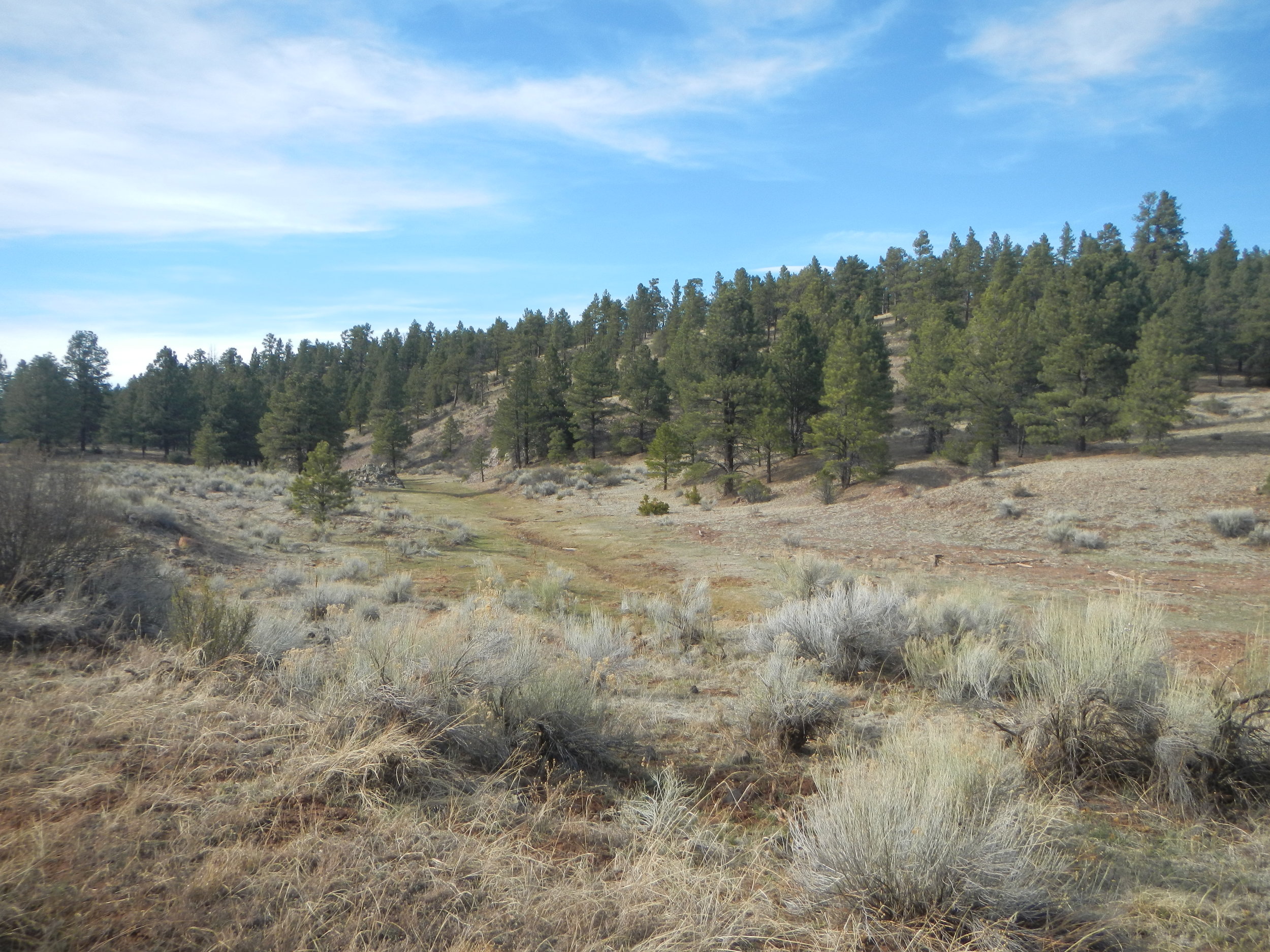
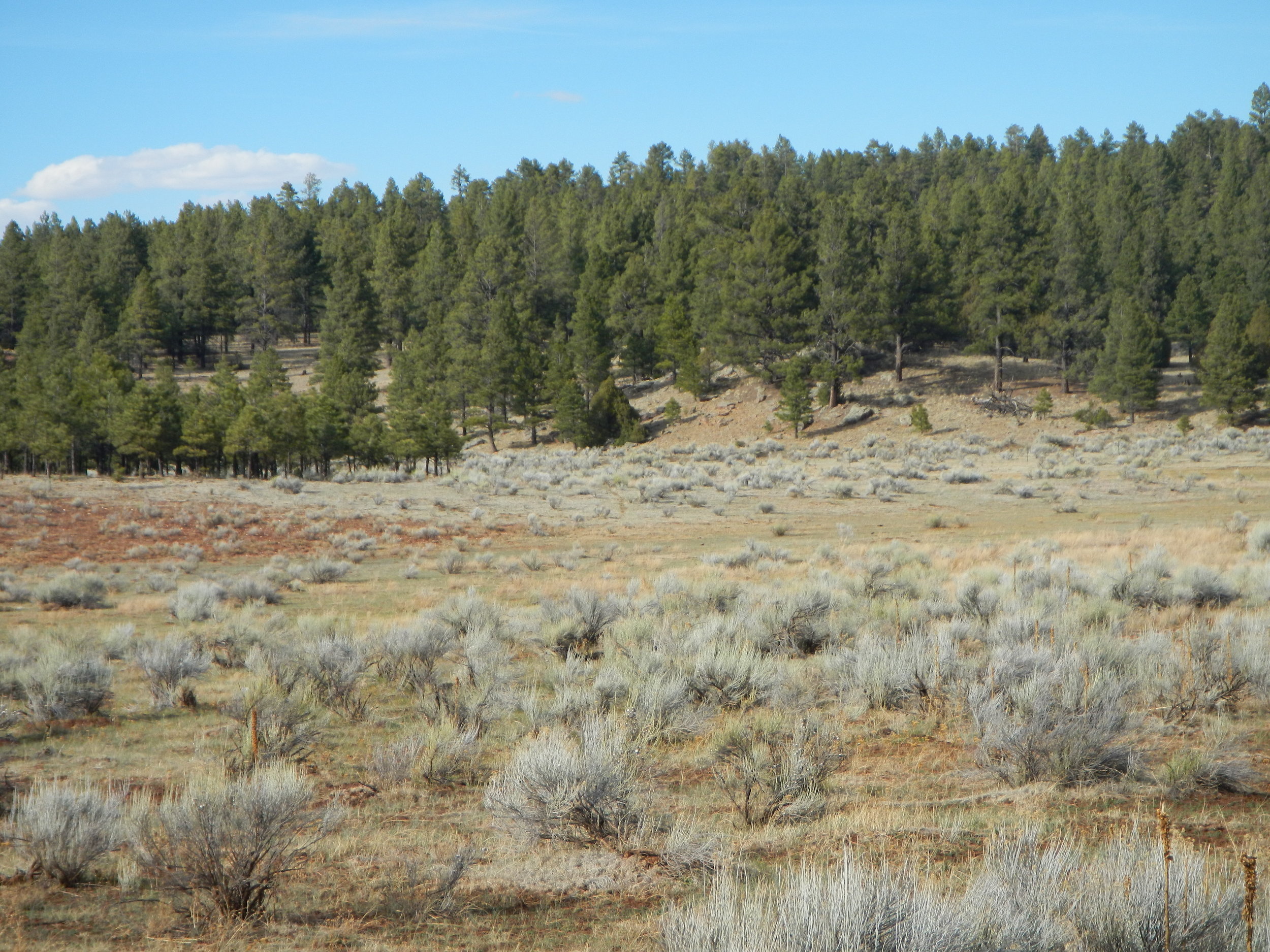
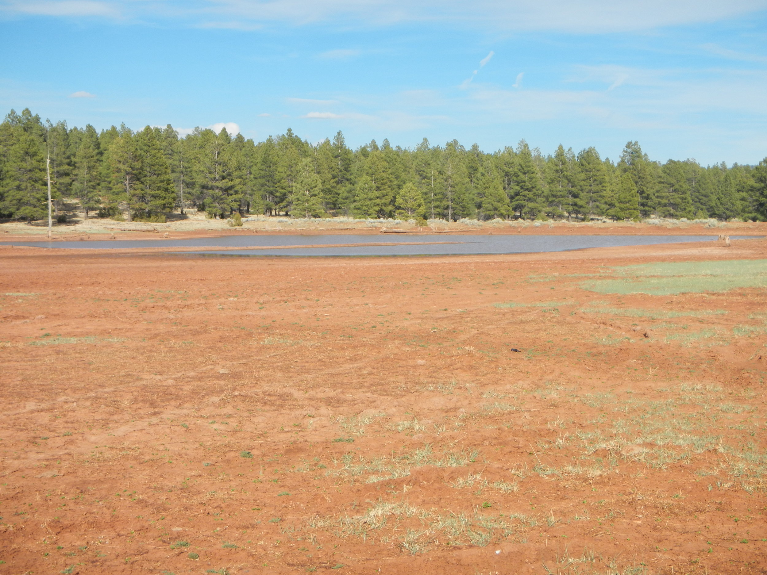
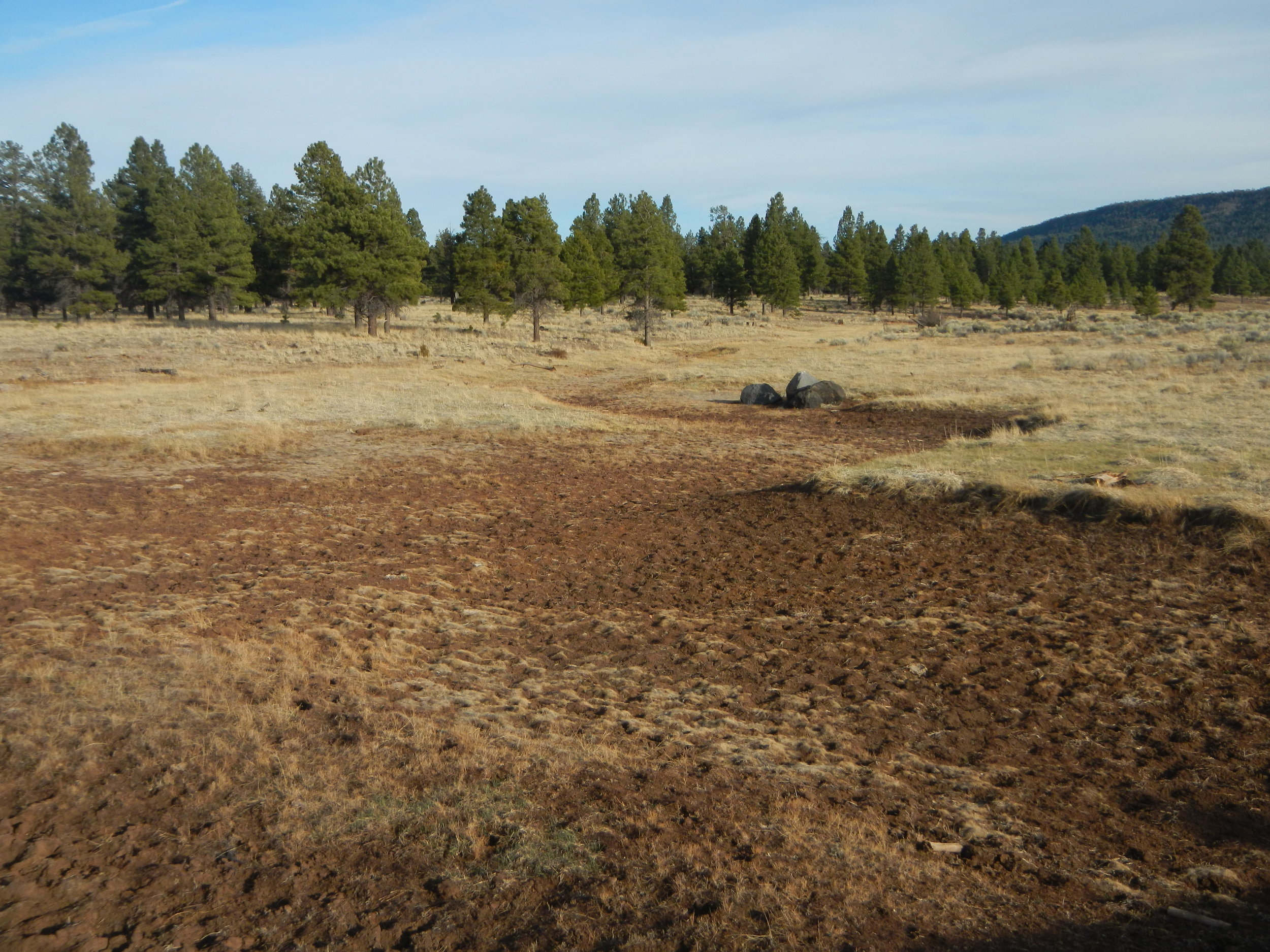
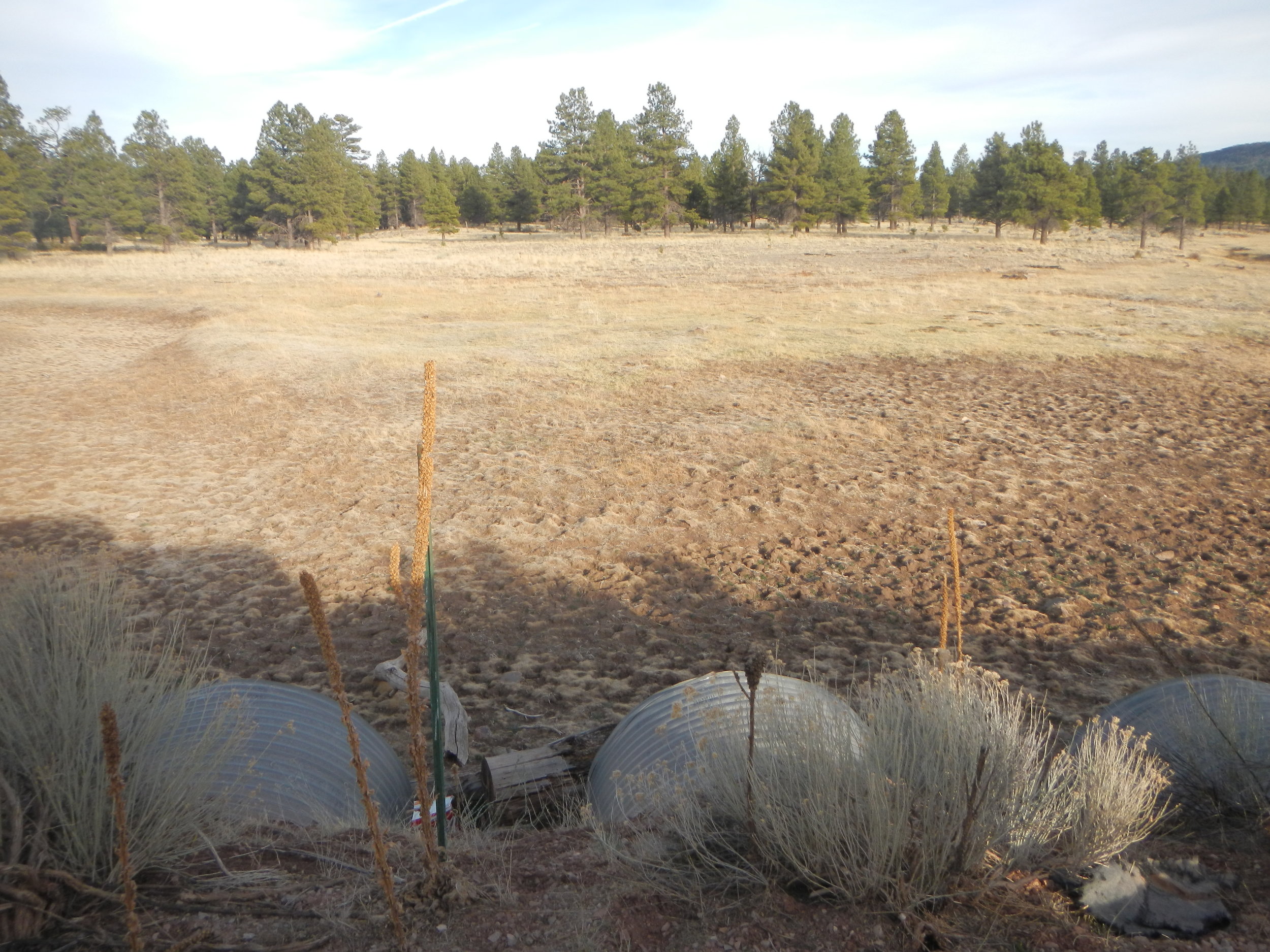
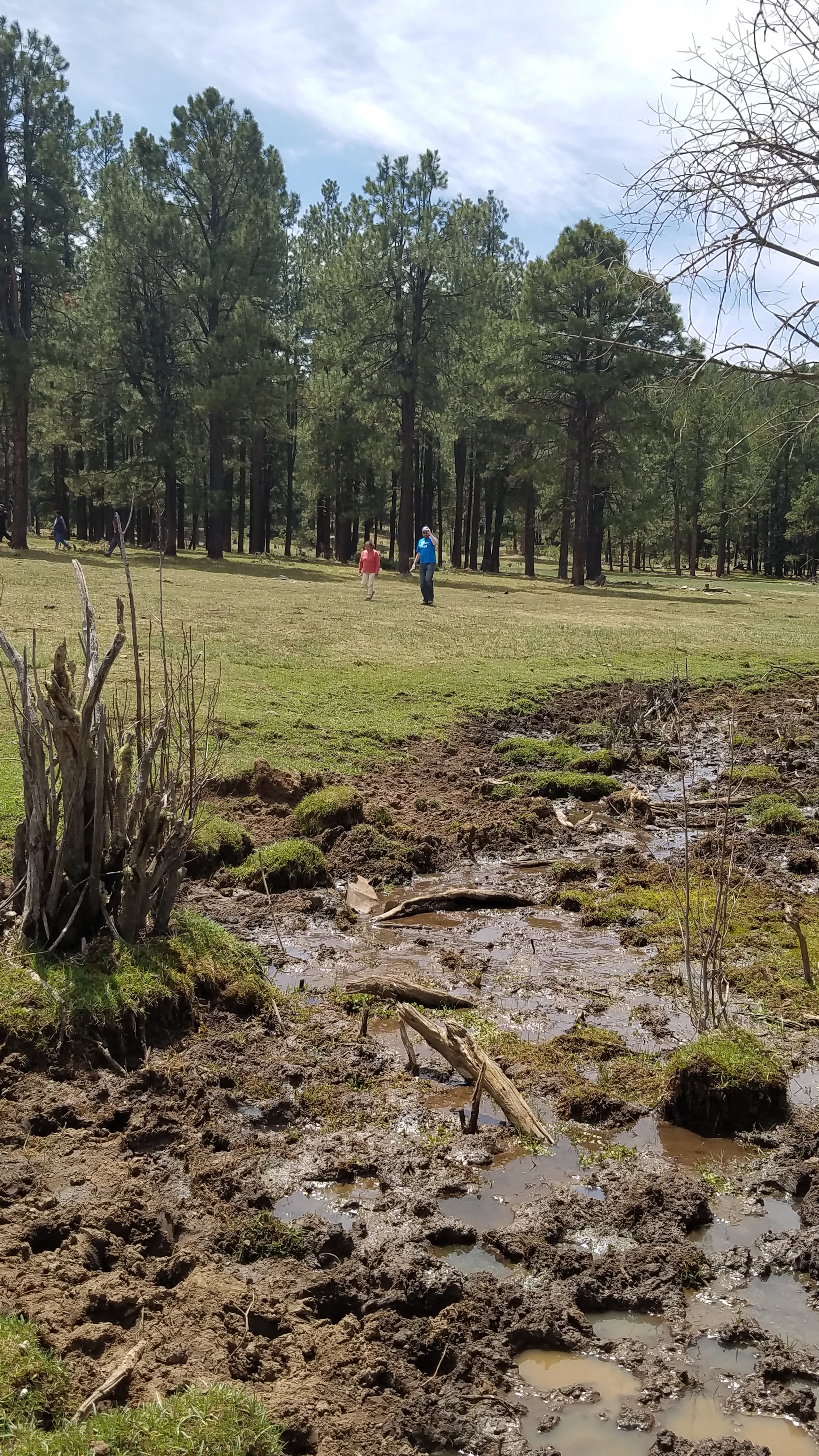
Data Validation Fieldwork for the NW MN Mapping Team
The Northwest MN mapping team has been diligently working on producing clean, accurate, and robust National Wetlands Inventory (NWI) data in an area of MN covering 19 counties for the past year and a half! As the project comes to an end in fall 2018, the newly created NWI data is in need of validation. This data validation step is crucial because it ensures the integrity, suitability, and usability of the data.
From May 7th through May 11th, GSS staff members David Rokus, Nick Lemcke, and Reed Fry traveled throughout the project area to pre-determined sites that contained recently updated NWI data. At each site, staff validated that the data properly reflected what was seen on the landscape.
The project will result in an update of 25 to 30-year old wetland data and will be integrated into the nation-wide NWI database, which is managed by the U.S. Fish and Wildlife Service (USFWS). National Wetlands Inventory Data can be viewed on the USFWS National Mapper.

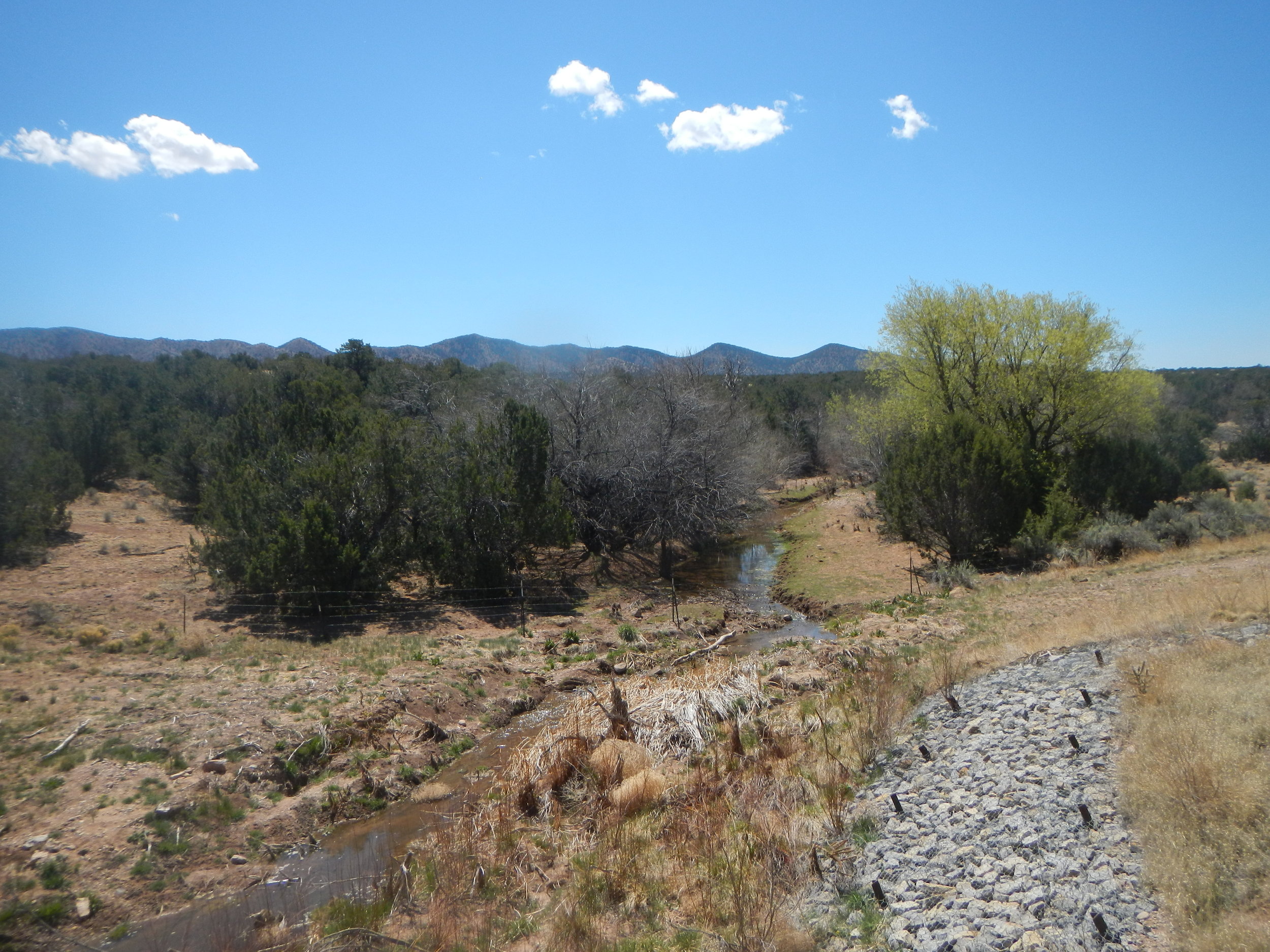
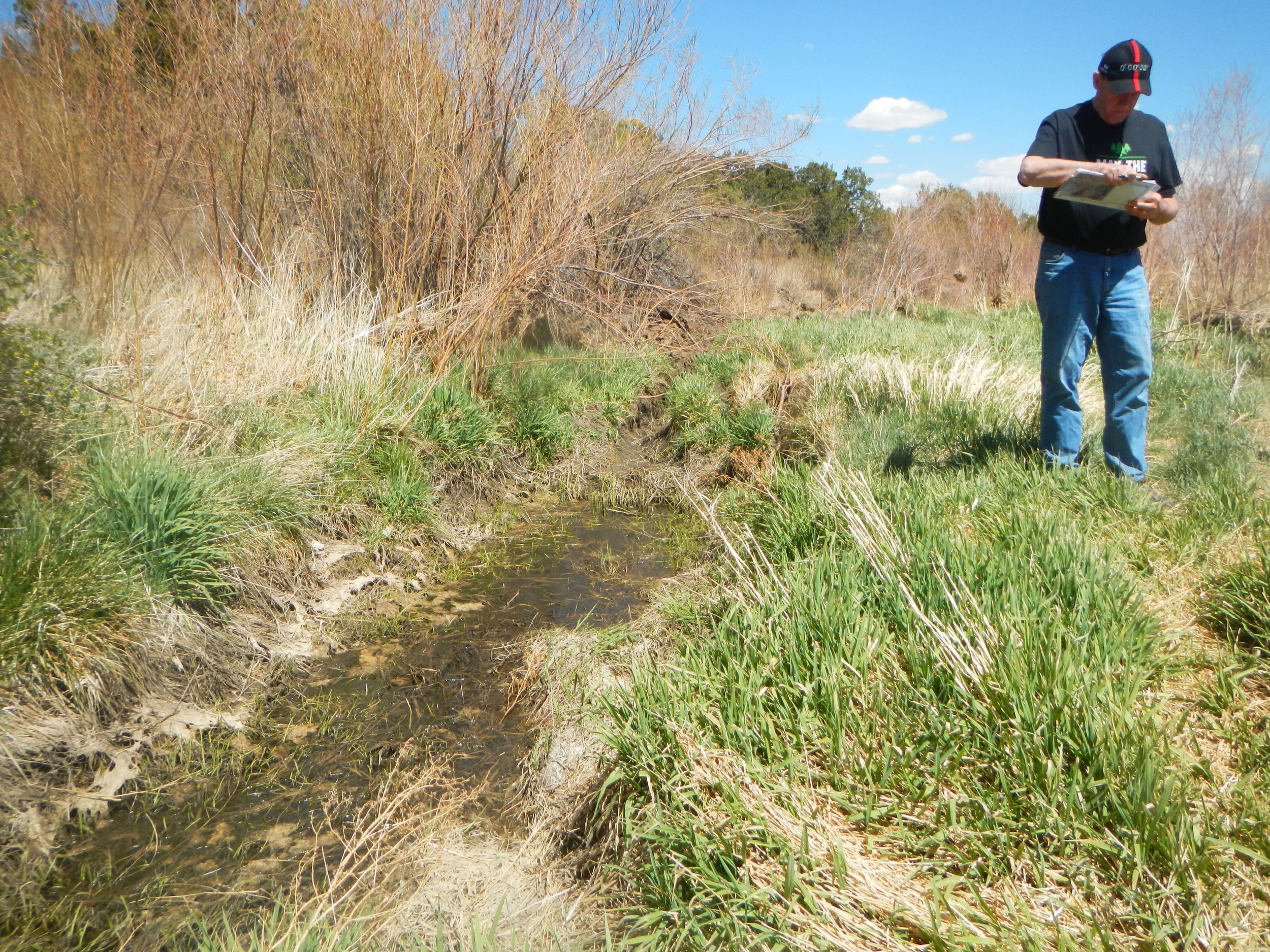
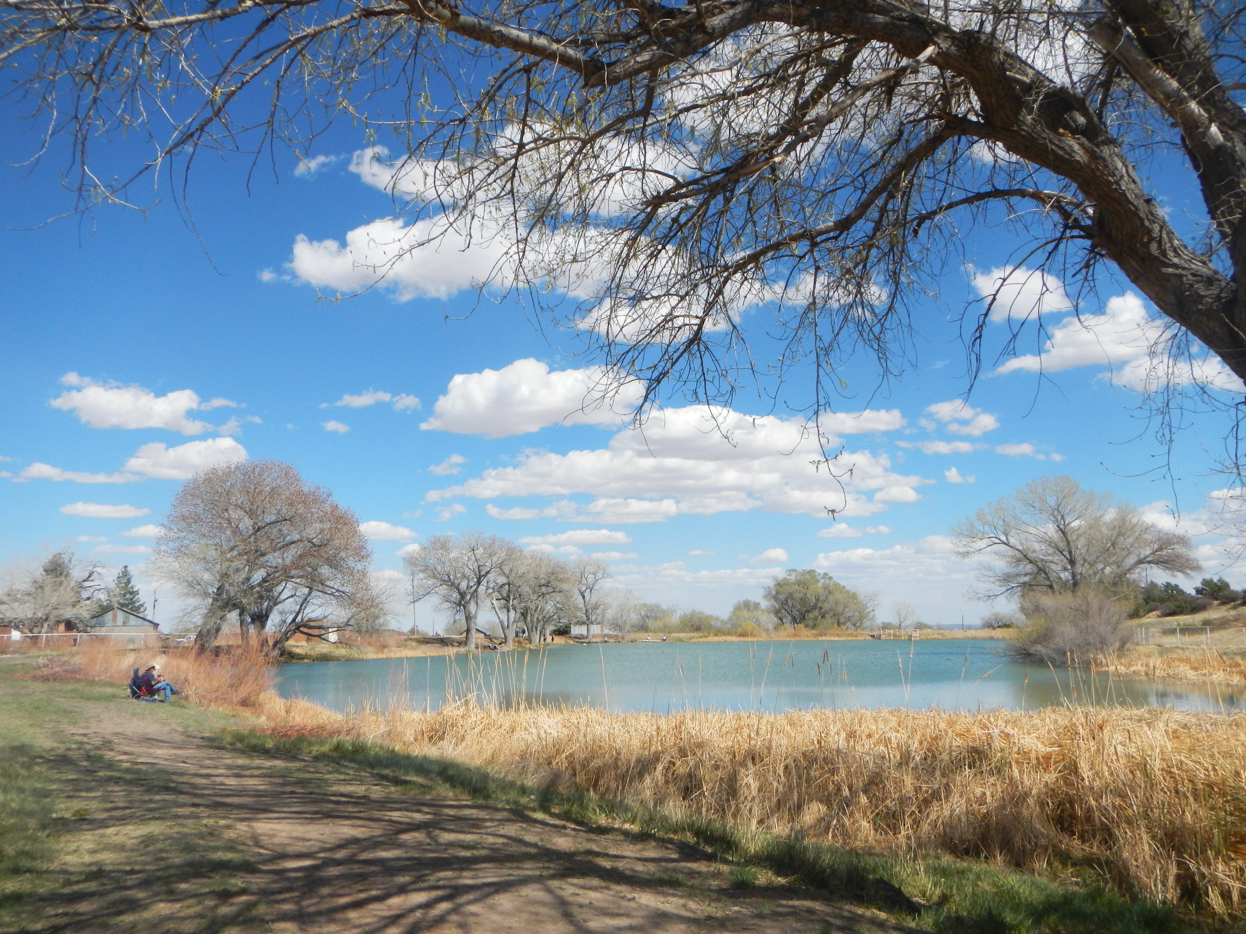
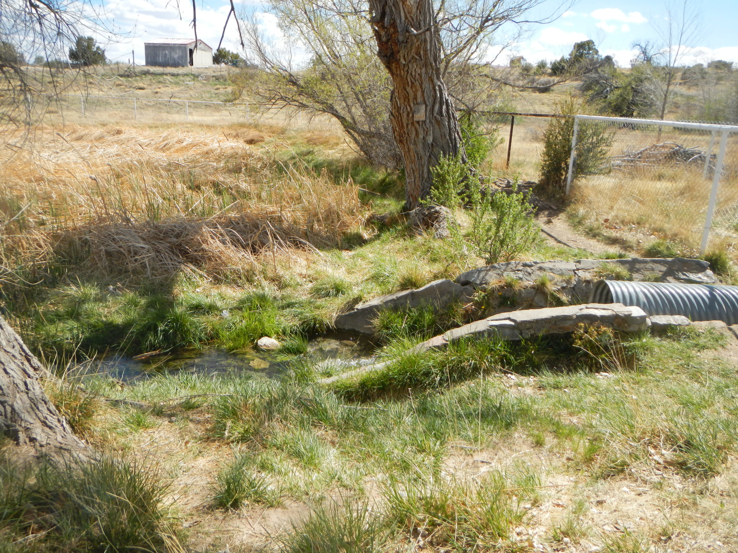
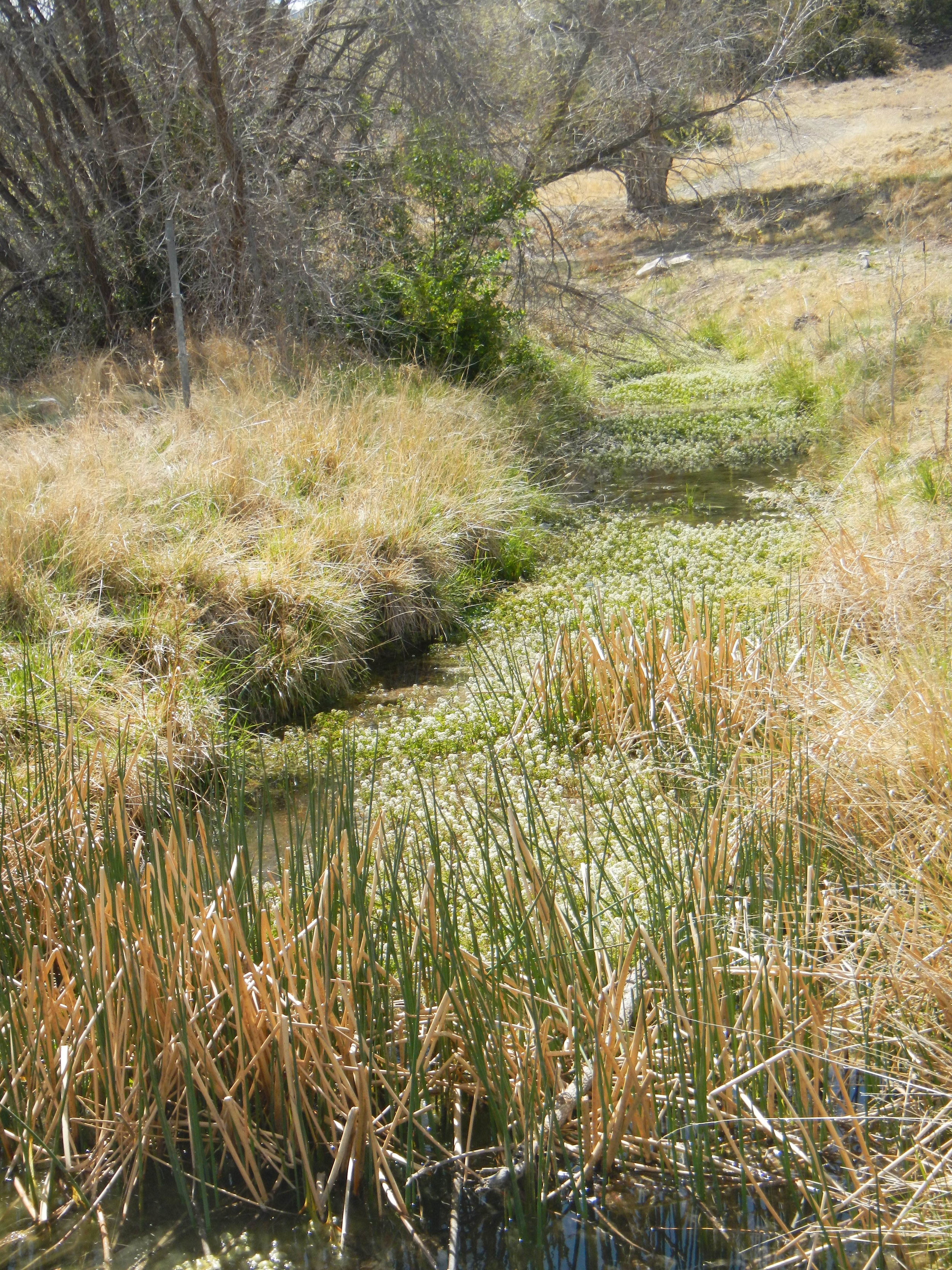
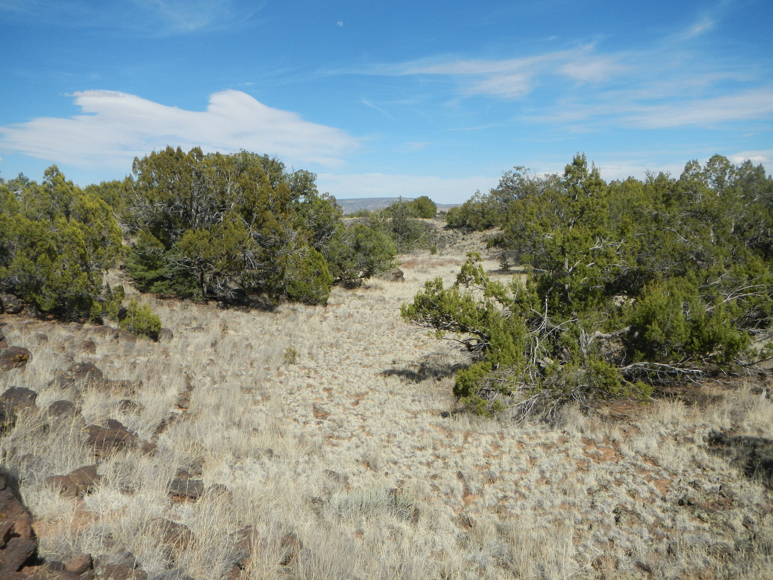
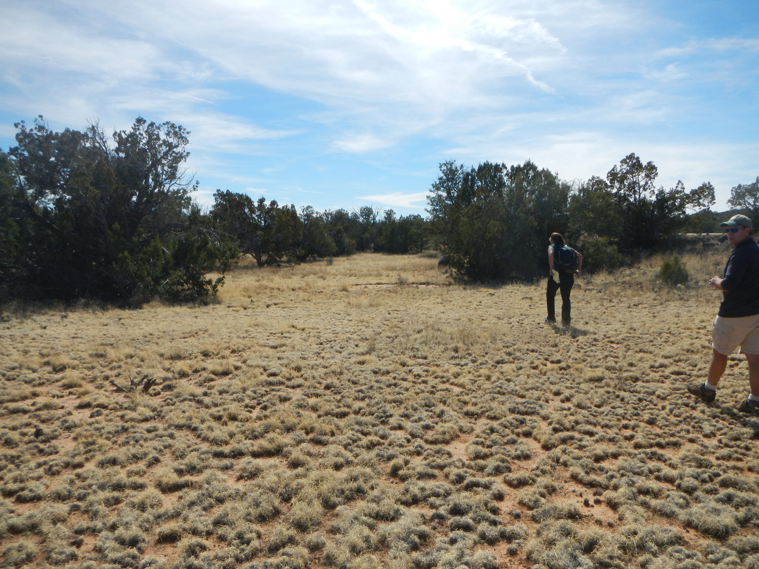
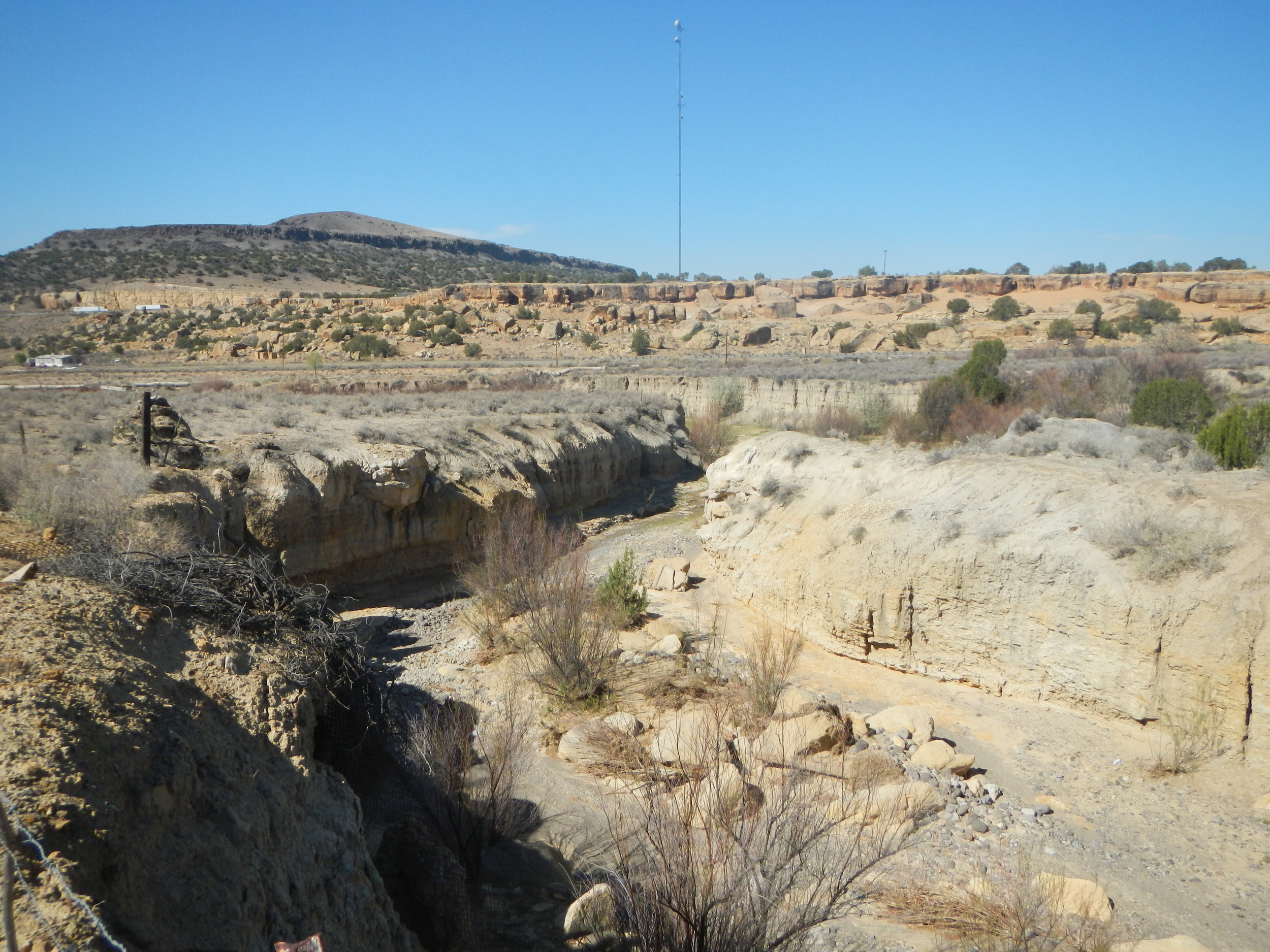
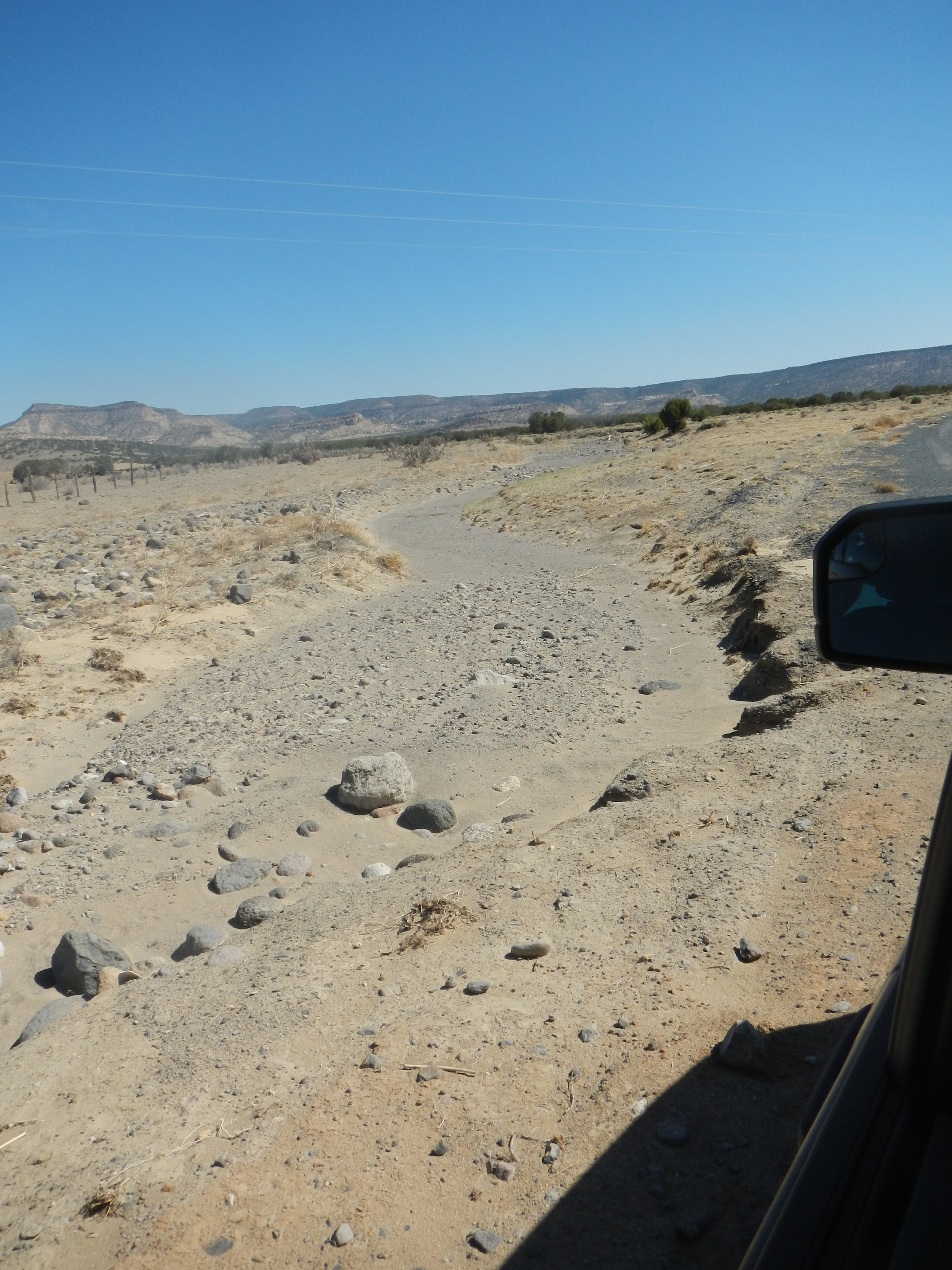
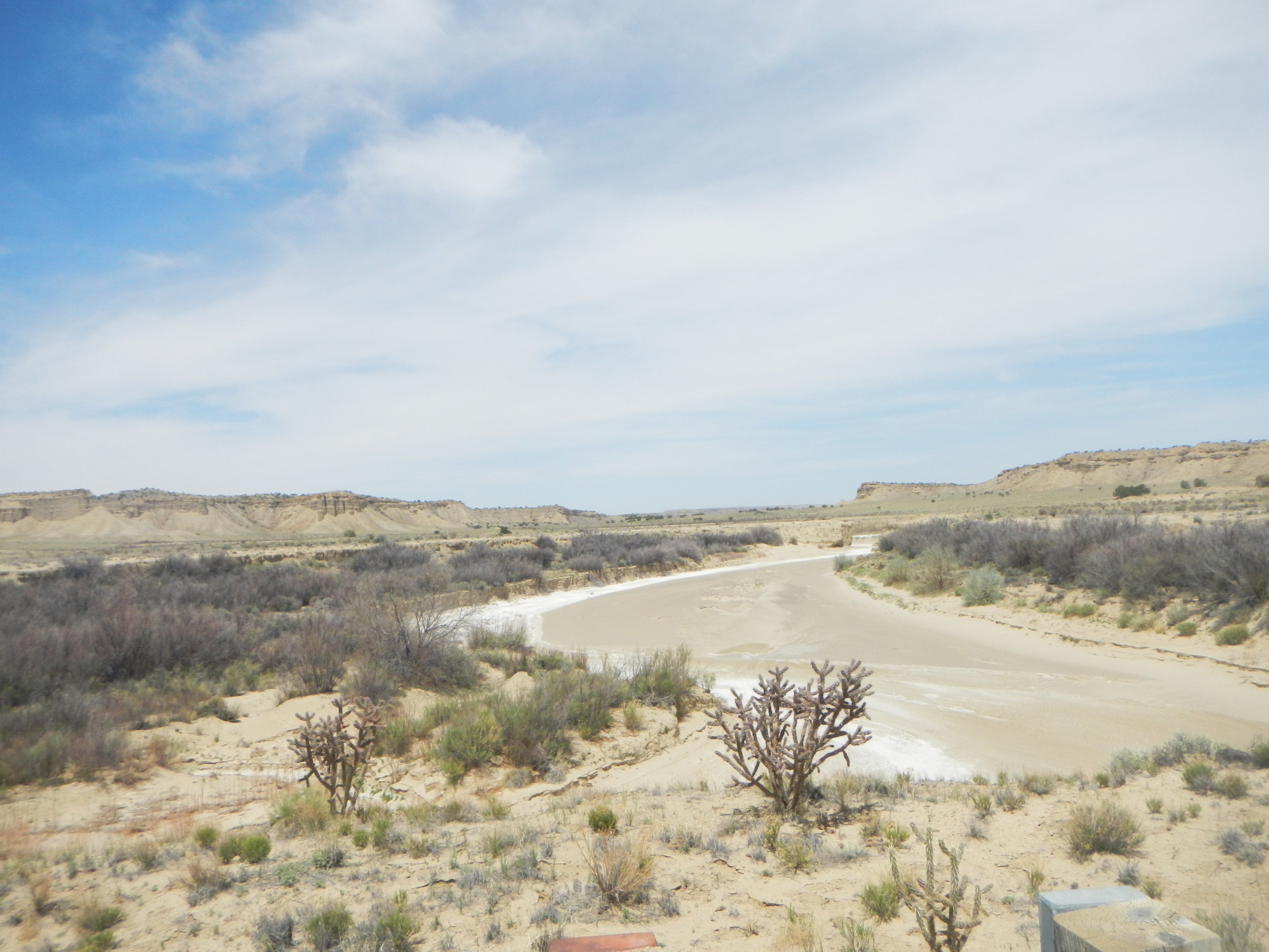
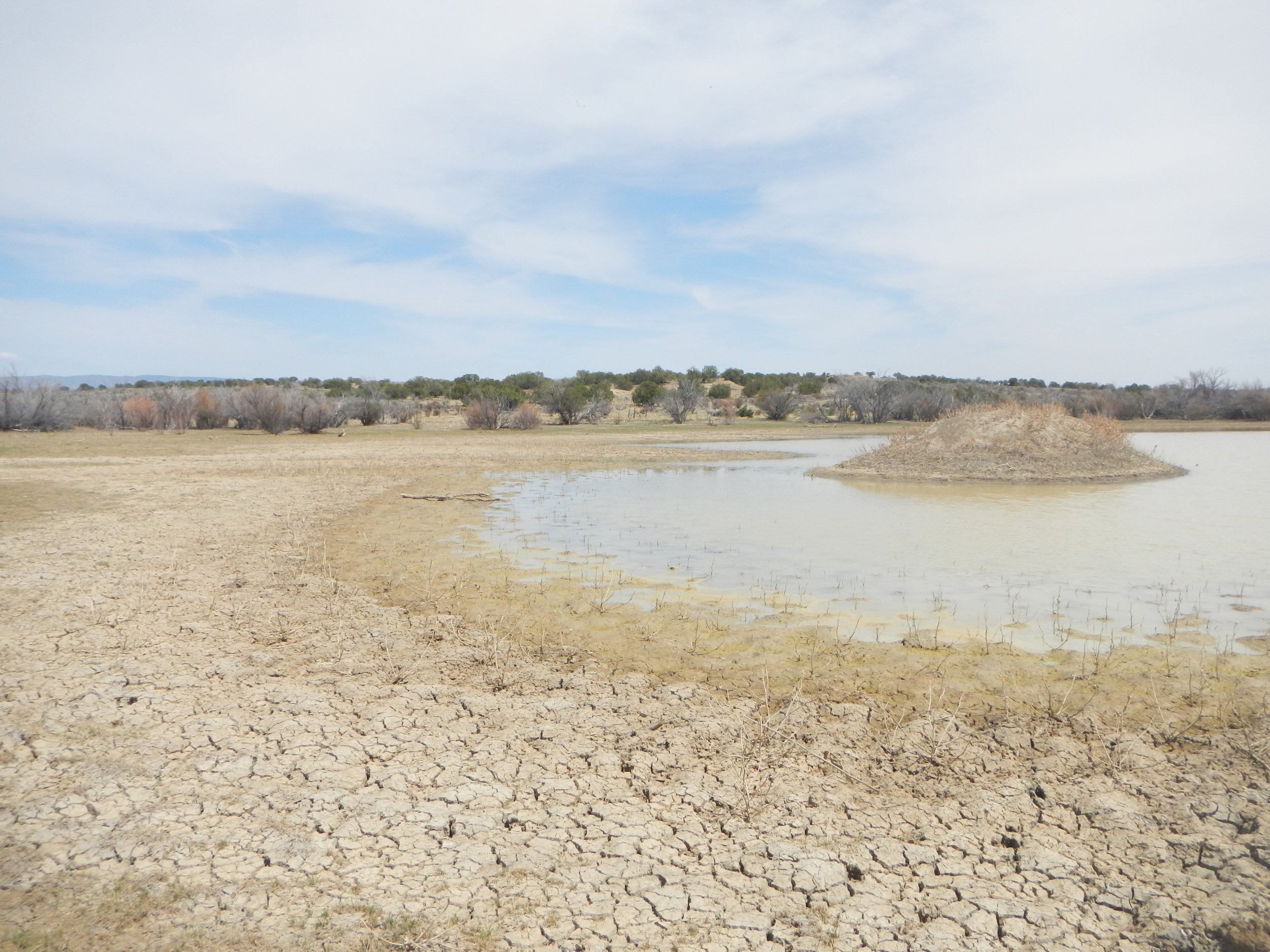
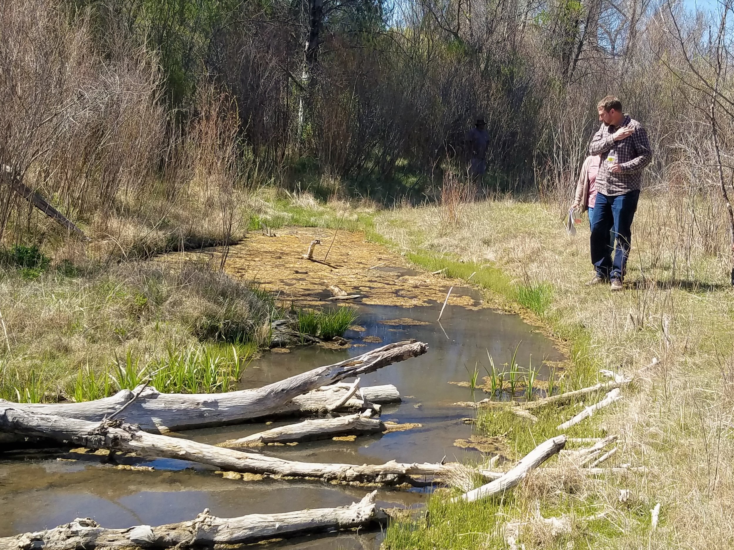
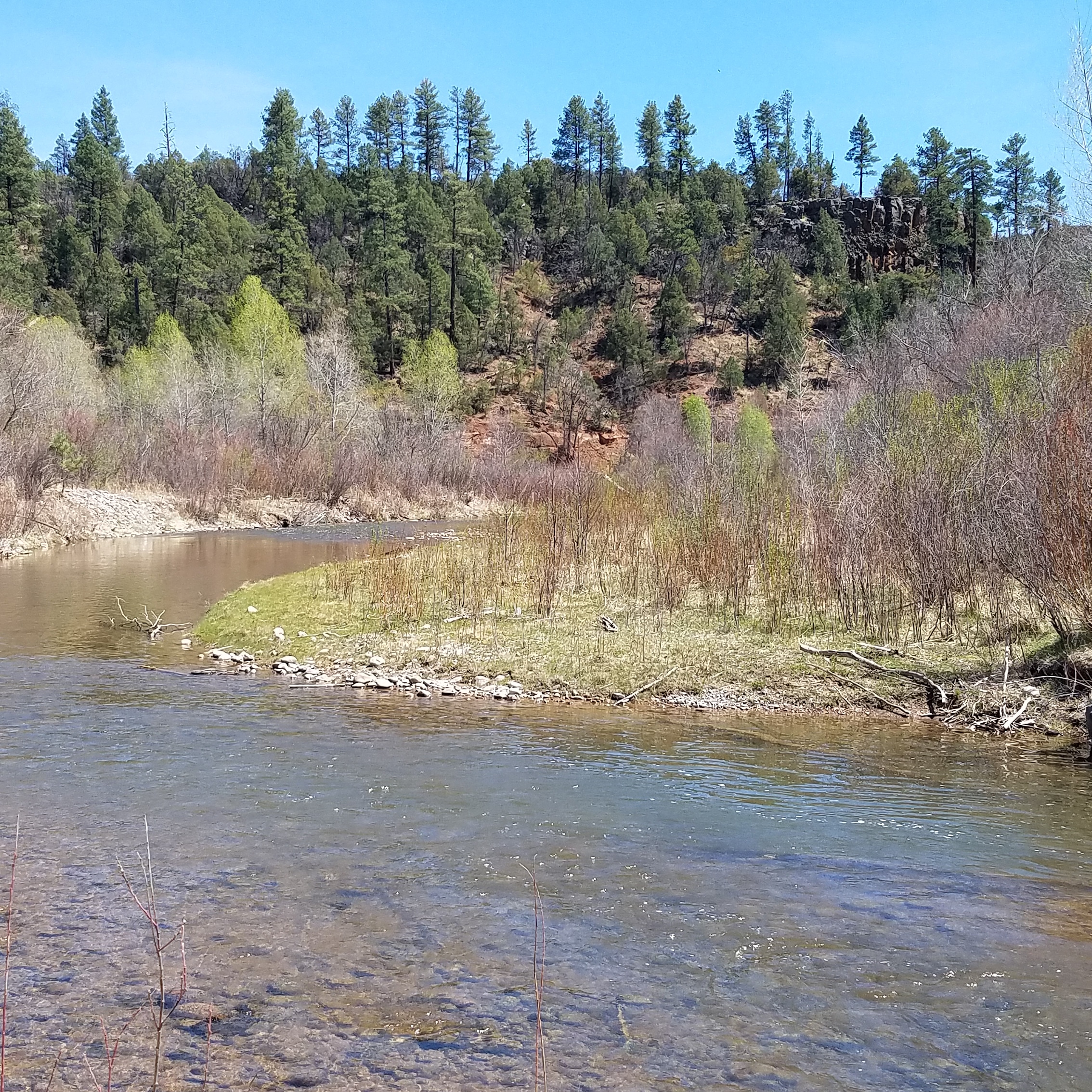
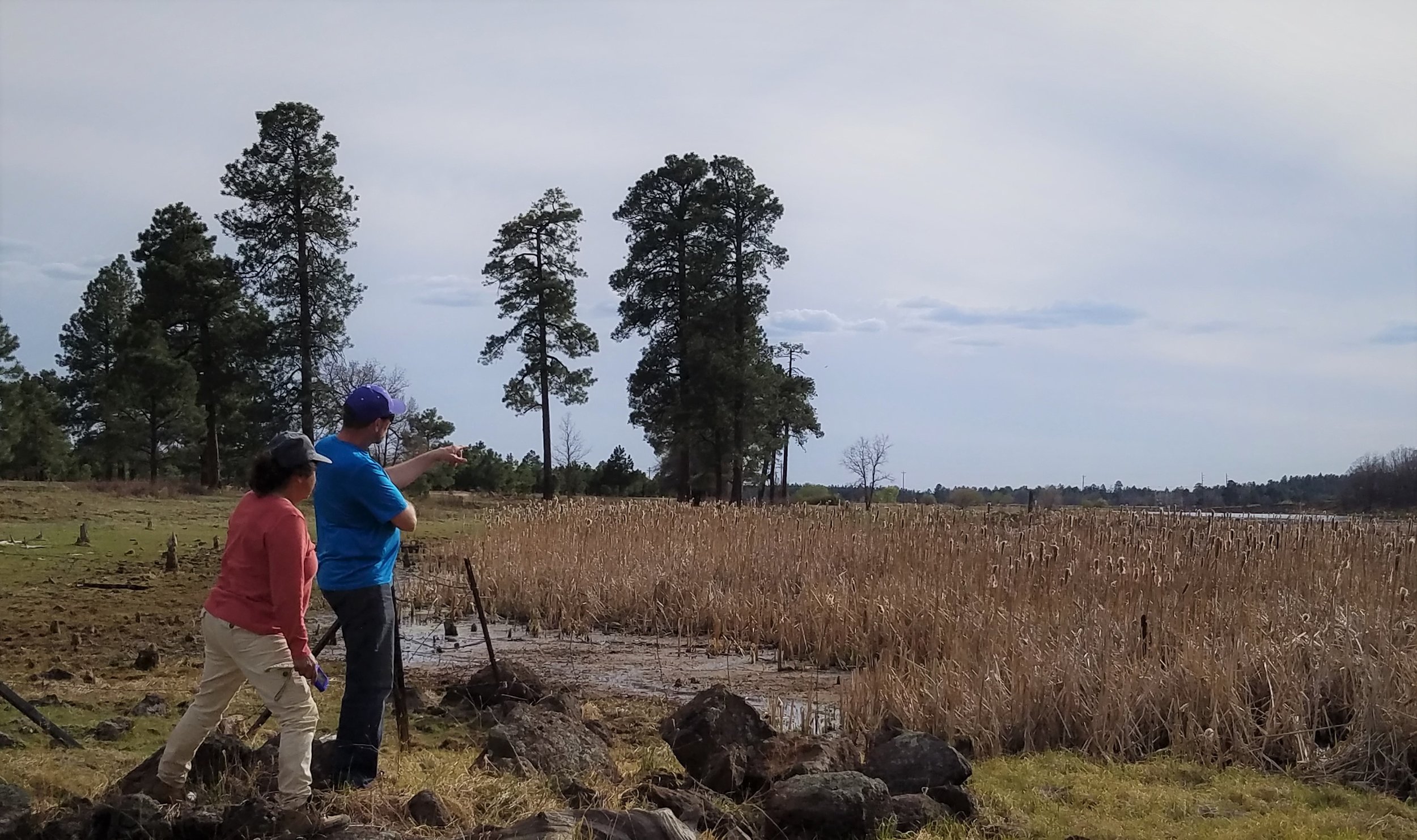
Wetland Mapping in the Middle Rio Grande, New Mexico
Andy Robertson and John Anderson just got back from a pre-mapping wetland fieldwork trip in the Middle Rio Grande region of western New Mexico. The two GSS staff members were joined in the field with two staff members from the NM Environment Department and one staff member from the U.S. Fish and Wildlife Service.
The goal of this trip was to visit pre-determined wetland sites to gain knowledge about the wetland landscape of the area. This knowledge will be taken back to the office and a 'wetland key' will be given to photo interpreters to guide them in creating modern wetland and riparian area data. When completed, this two-year project will result in the first-ever comprehensive wetland inventory for this five million acre region of the state!


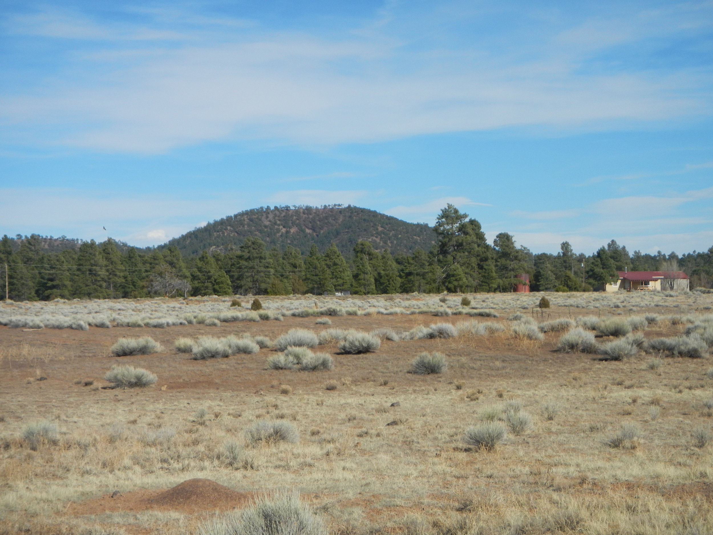
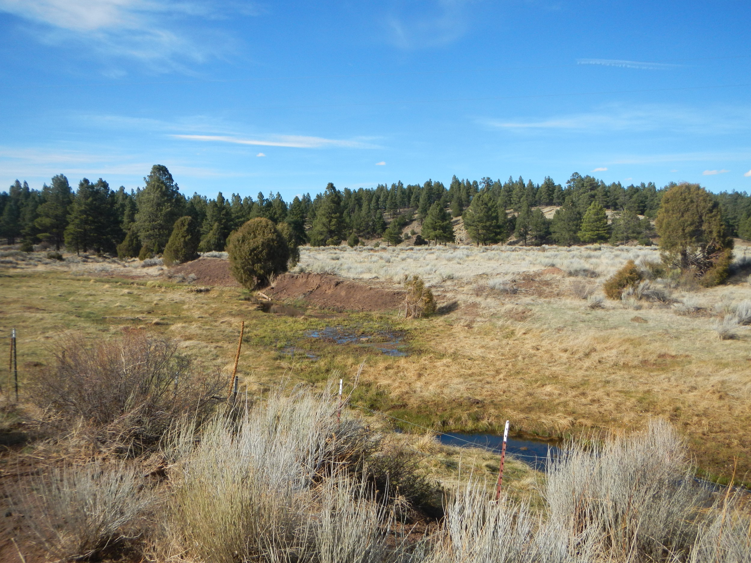
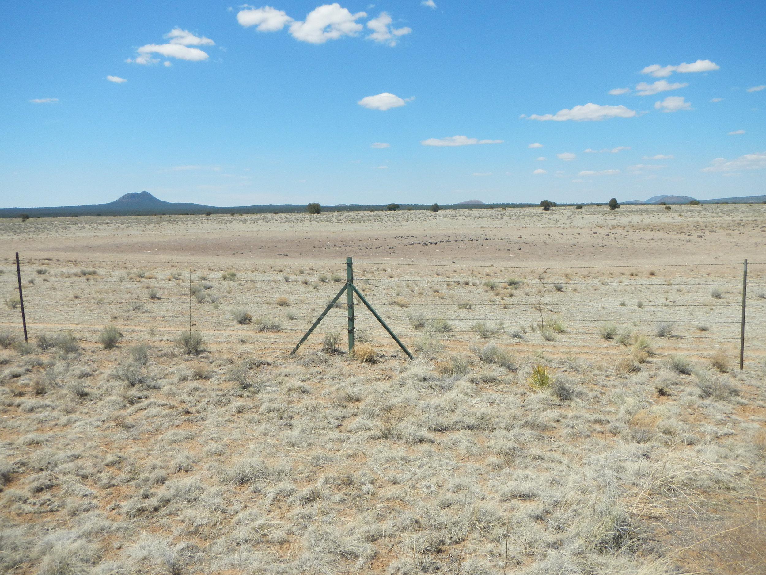
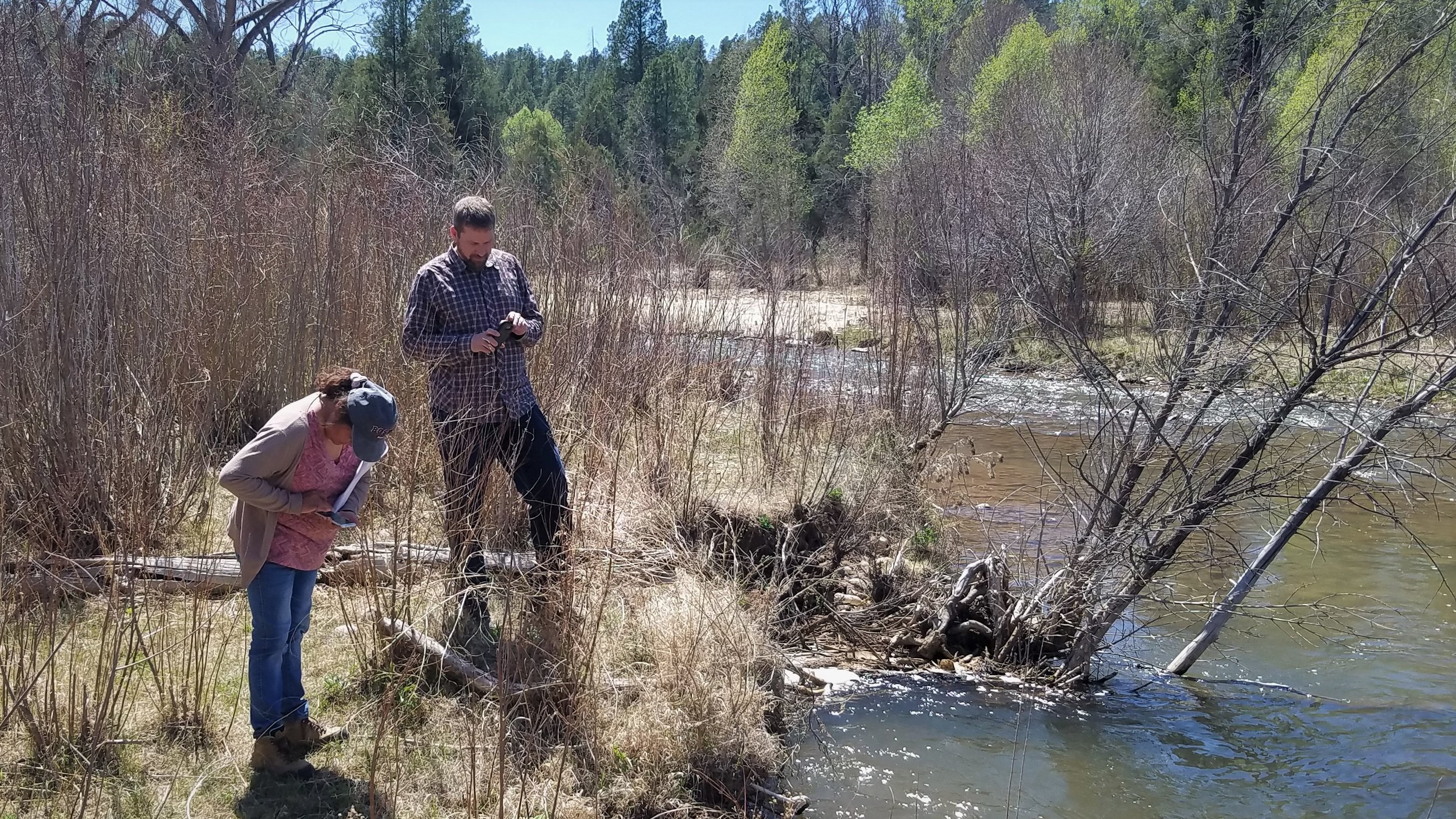
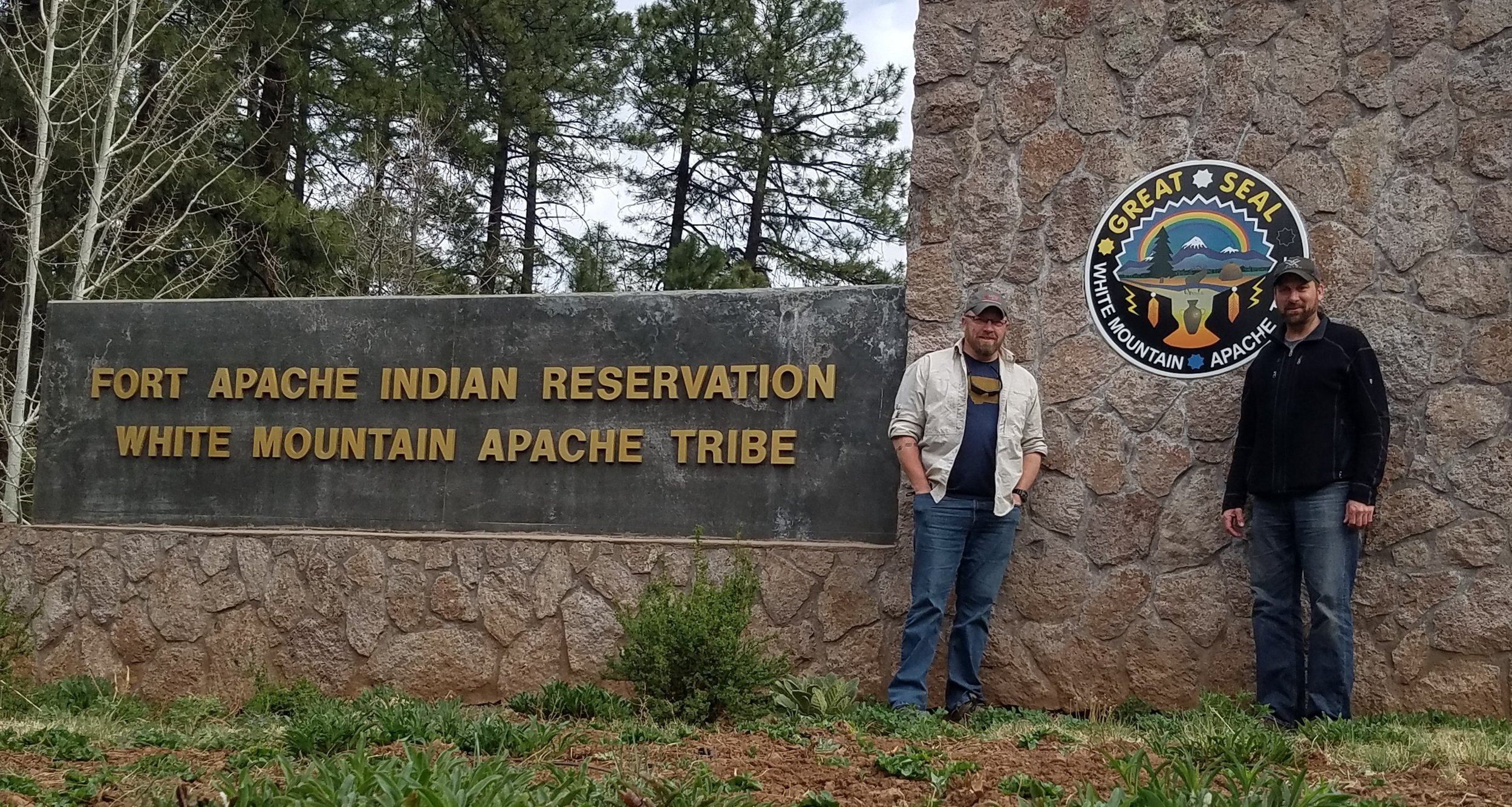
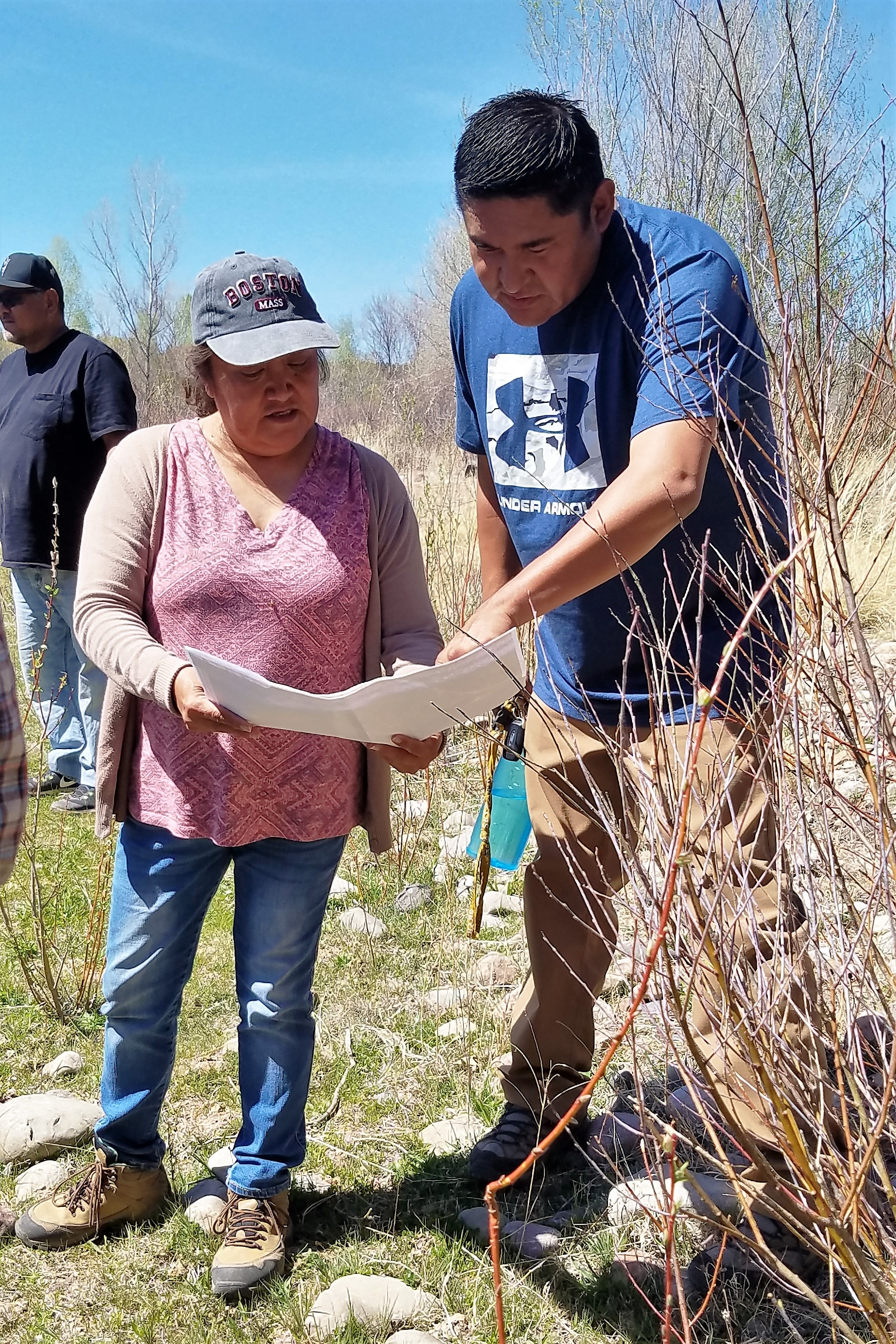
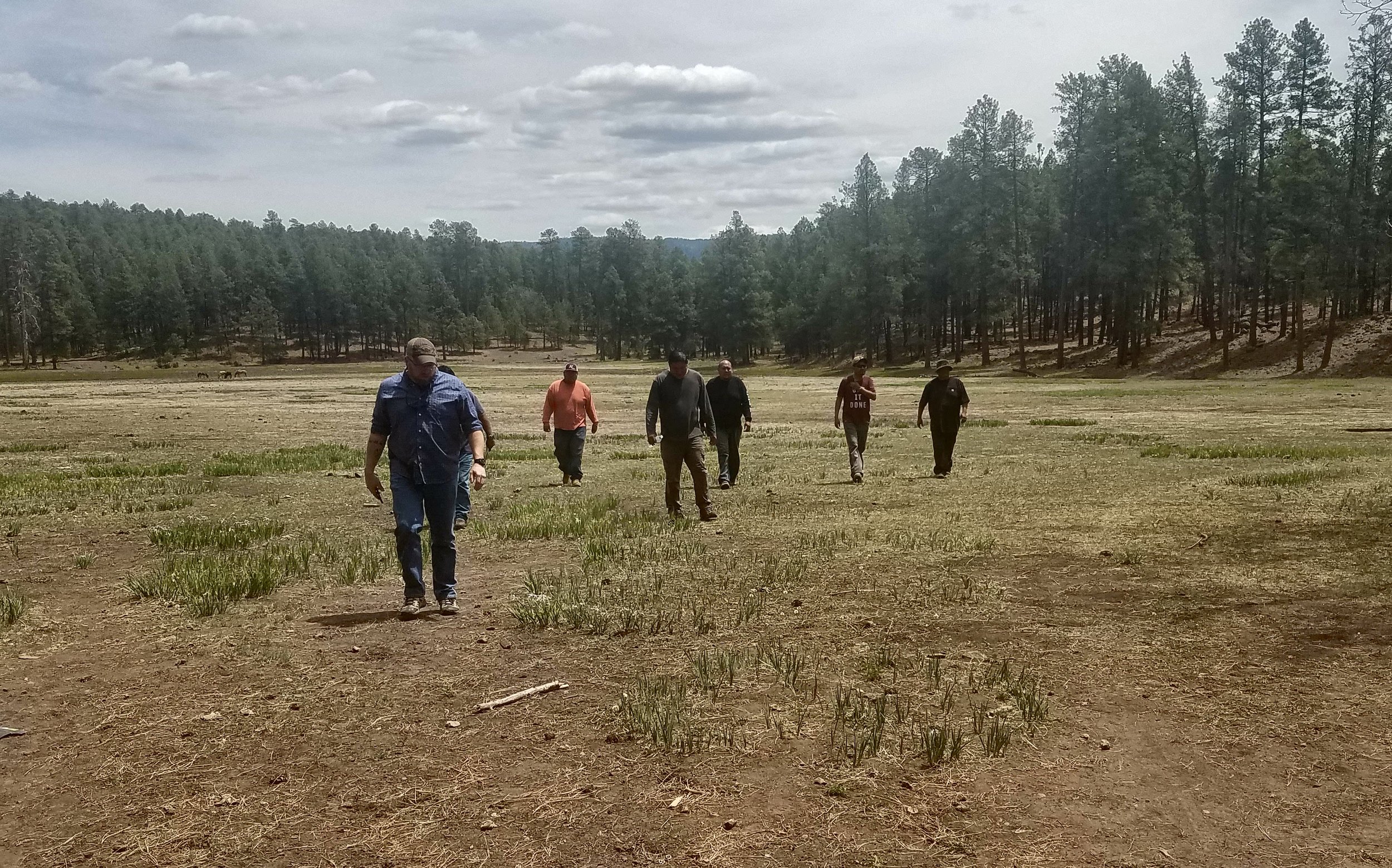
Wetland Training for Tribal Watershed Staff
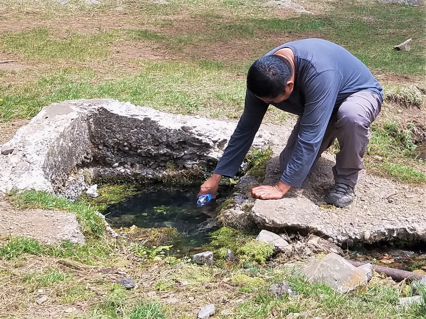
Kevin Stark and Eric Lindquist traveled to the Fort Apache Indian Reservation, home of the White Mountain Apache Tribe in Arizona.
Kevin and Eric provided training to Tribal watershed personnel including hydrologists, water quality specialists, and field technicians on updated wetland and riparian area data created by GSS. This training included an introduction to the wetland and riparian area classification systems (i.e. Cowardin et al. [1979] and Dick et al. [2009]), discussions and suggestions on using the data in conjunction with the Tribe's on-going spring inventory and water quality monitoring efforts, and how to use a GIS to gather needed information about the wetland landscape. They also discussed how the data could predict wetland functions and how this information could provide insight on where the Tribe might engage in wetland protection, enhancement, and restoration.
The group also went around the Reservation visiting many spring-fed wetlands, streams, floodplains, cienagas, and restoration sites where knowledge gained in the training was put to use!
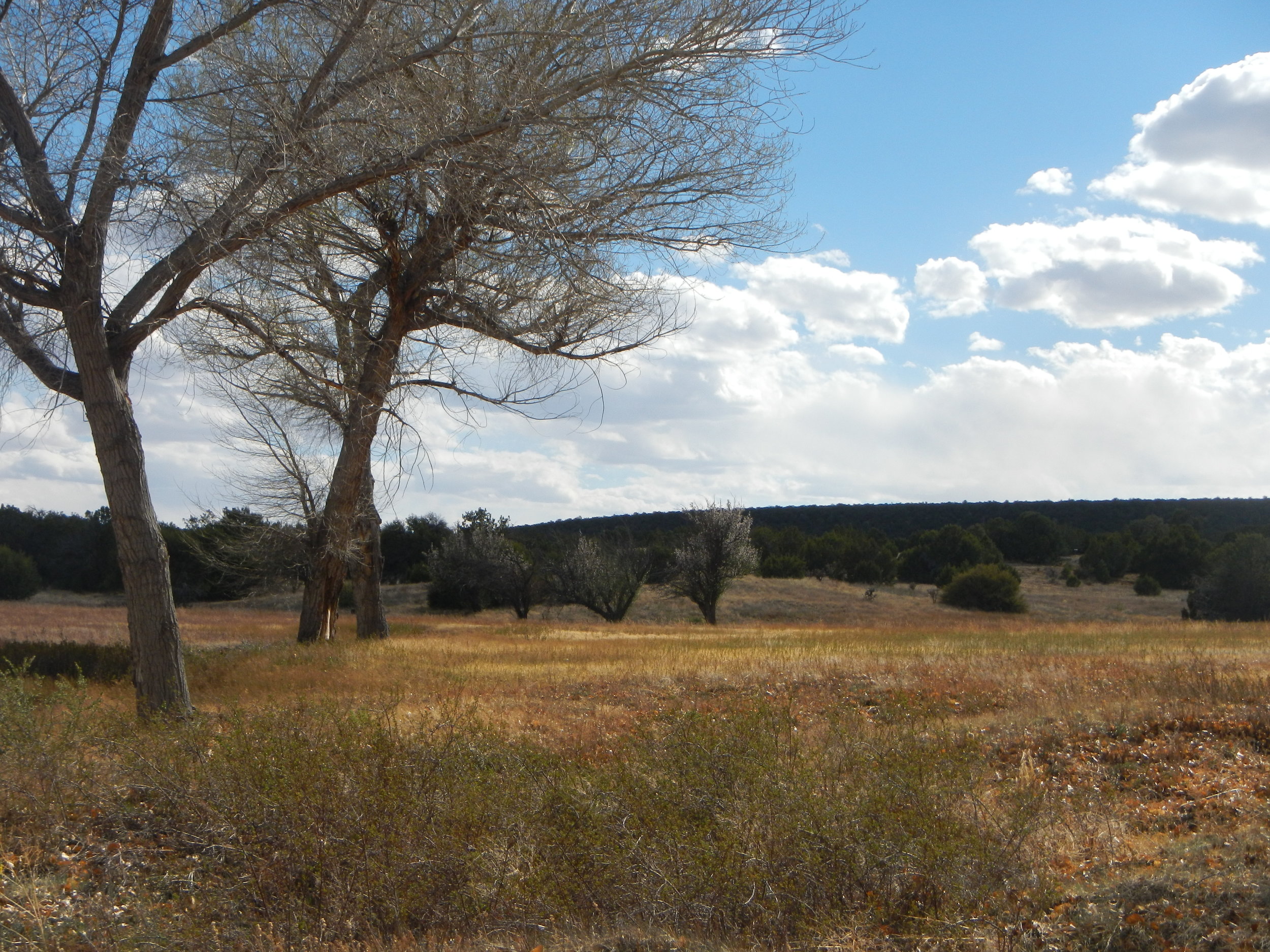
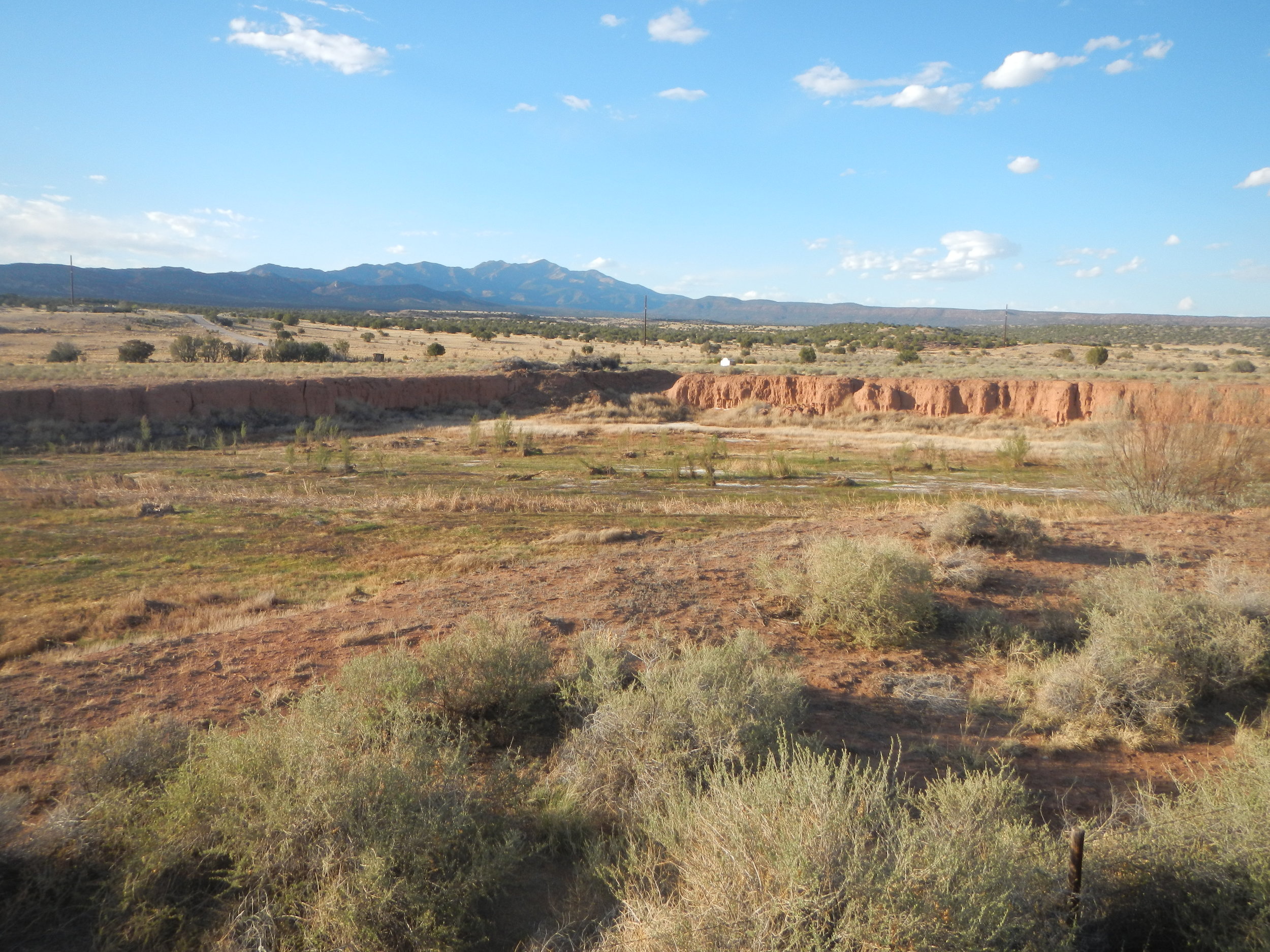
Salinas Pueblo Missions National Monument
At the end of January, Andy Nadeau and Kathy Allen traveled to central New Mexico to kick-off an NRCA for Salinas Pueblo Missions National Monument. The Monument consists of three distinct units, each supporting the ruins of the 17th-century Spanish mission and historic Native American pueblos. While Salinas Pueblo Missions is known for it's cultural resources, it also supports a diversity, from the pinyon-juniper woodlands common to the New Mexico mountains to rarer cottonwood groves along natural drainage areas. The wooded area provides habitat for a variety of birds as well as mammals including black bears, elk, pronghorn, and bobcats. The Monument also contains numerous Permian fossils (plants, marine organisms, insect trackways) and is a Certified International Dark Night Sky Park. The highlights of the trip for Andy and Kathy were finding Native American pottery shards at the Gran Quivira Unit and seeing ancient petroglyphs (rock carvings) at the Abo Unit.
Gran Quivira Unit


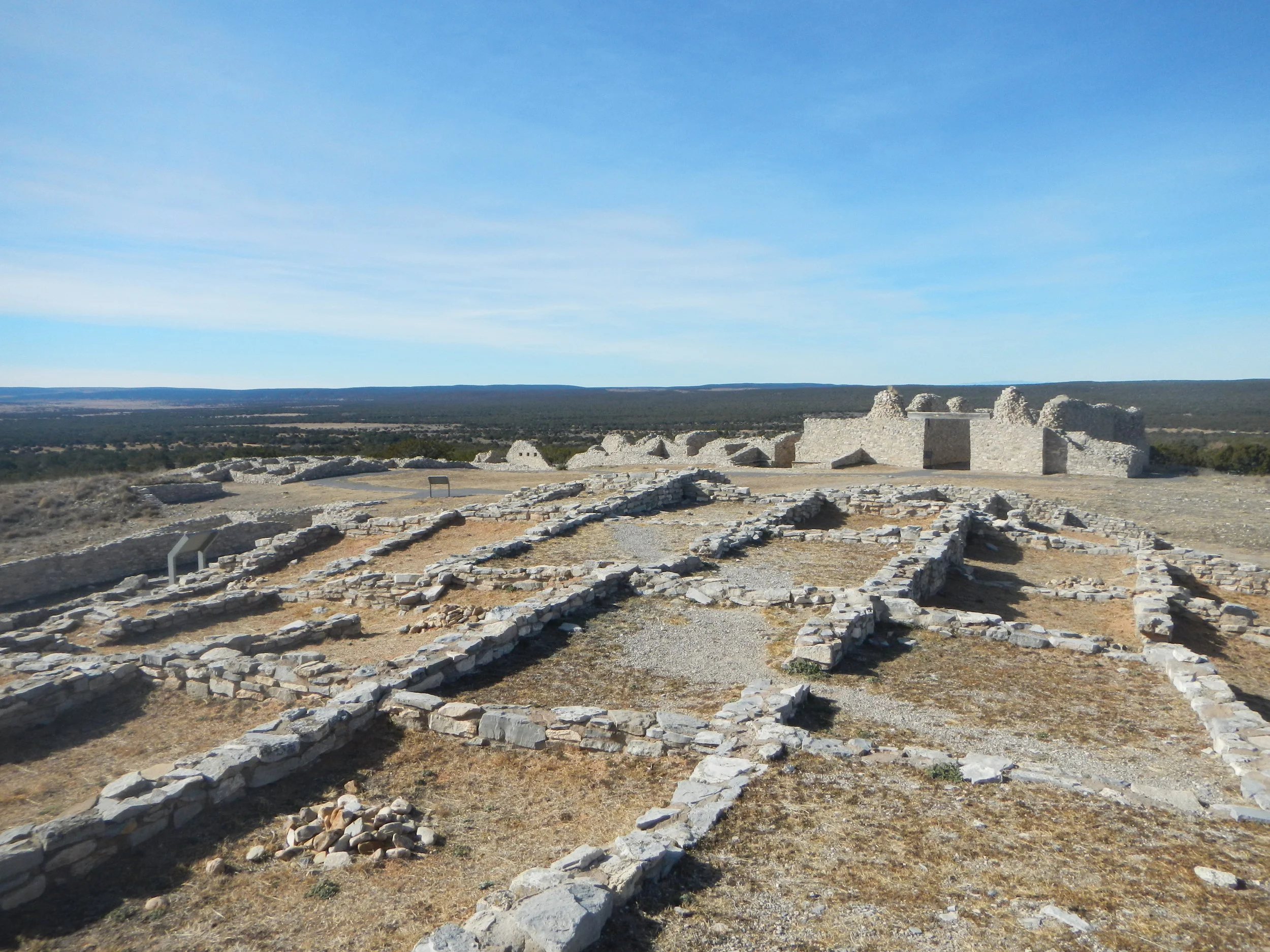
Abó Unit


Quarai Unit


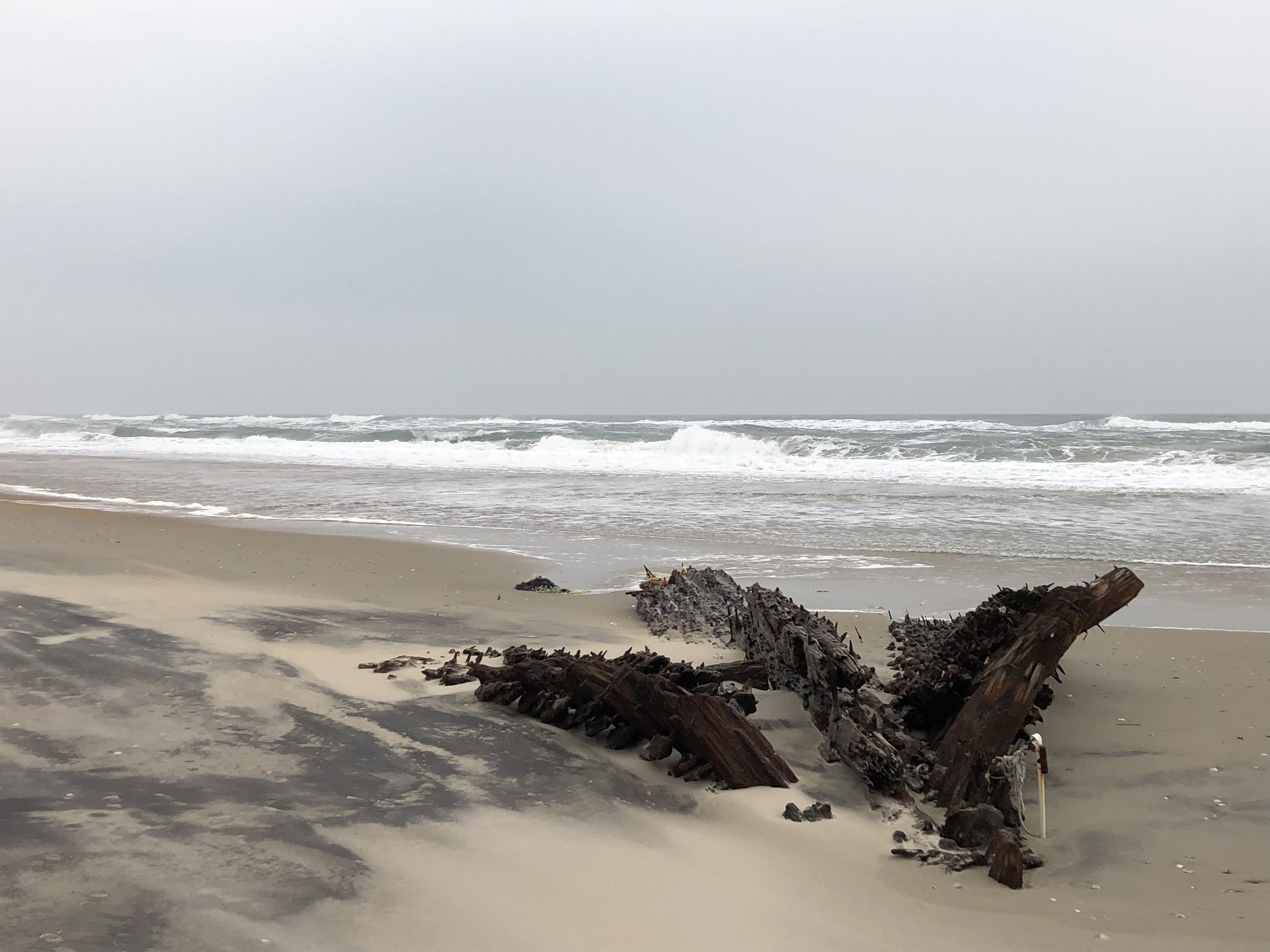
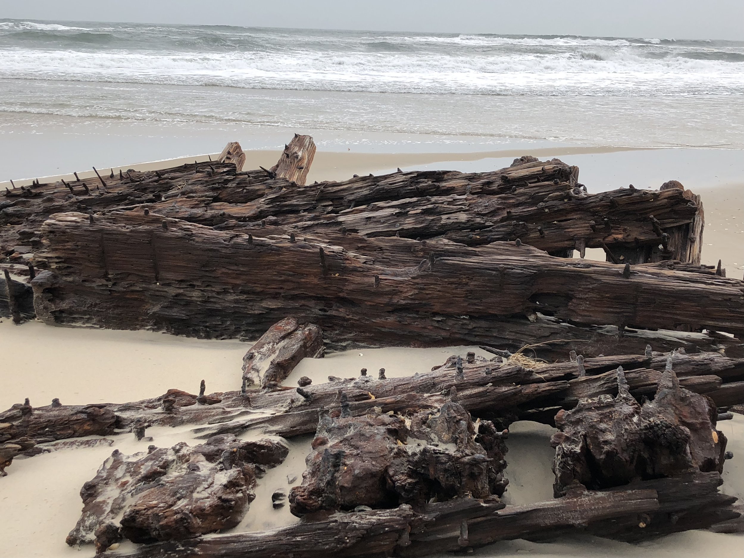
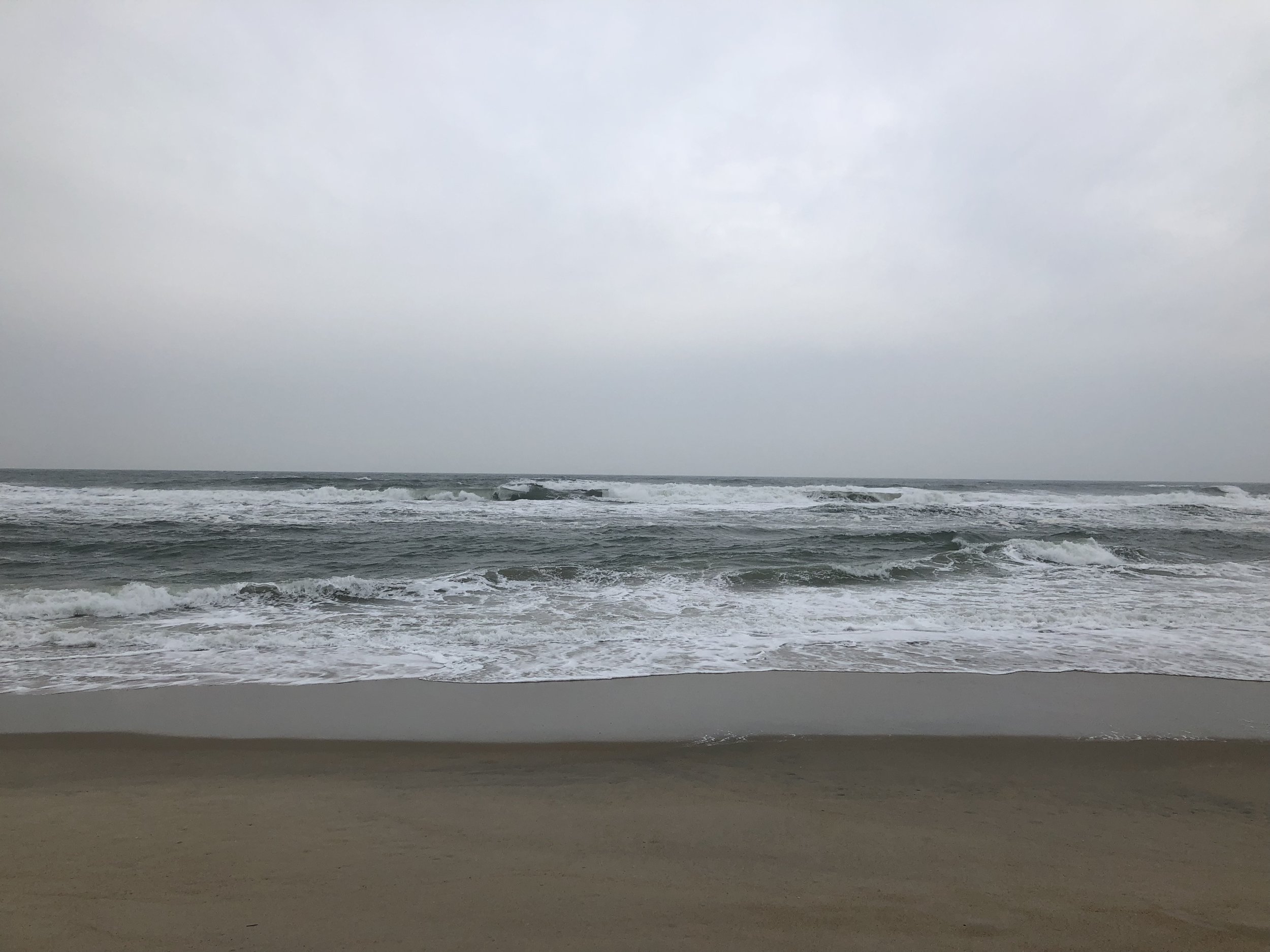
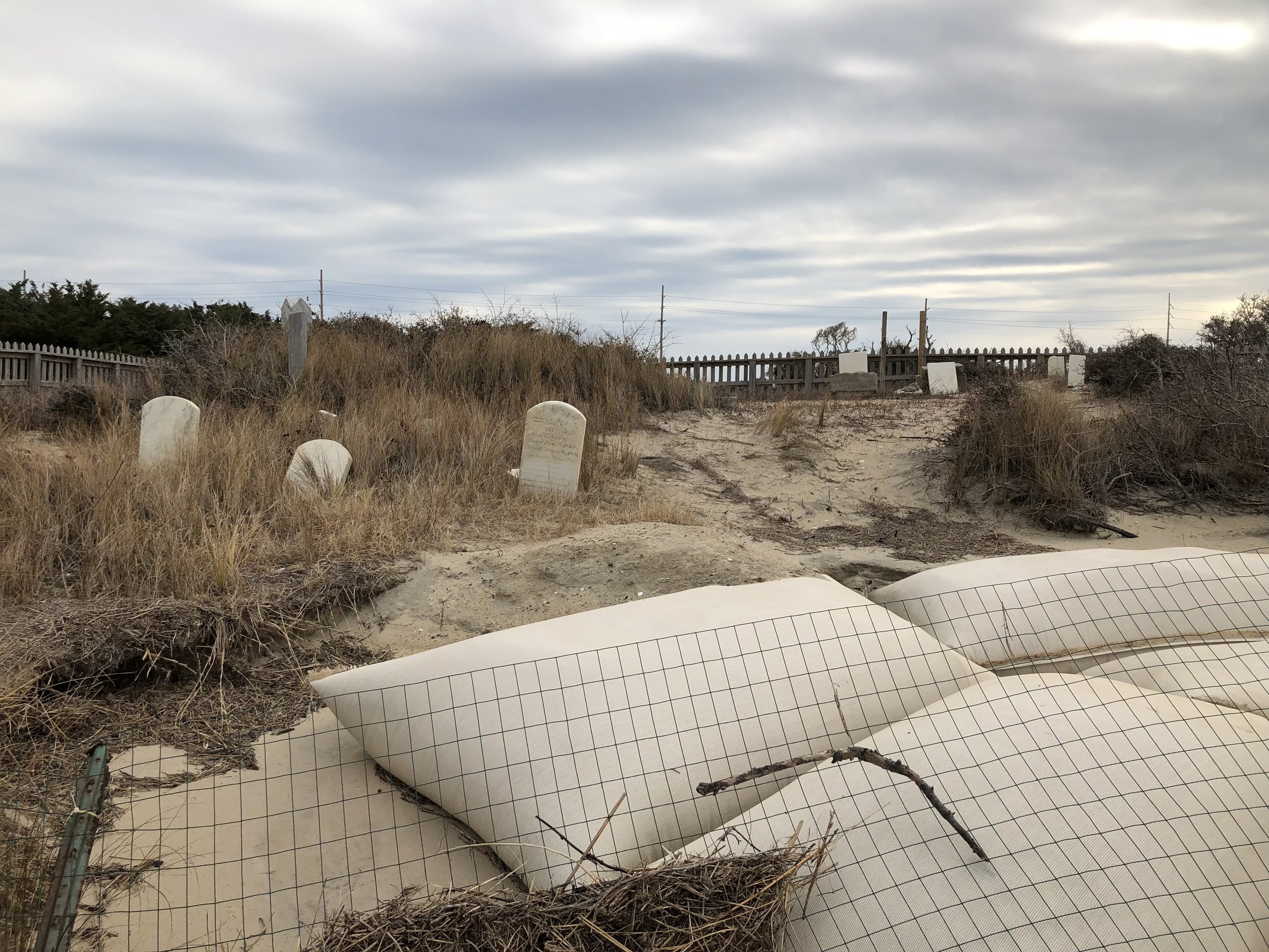
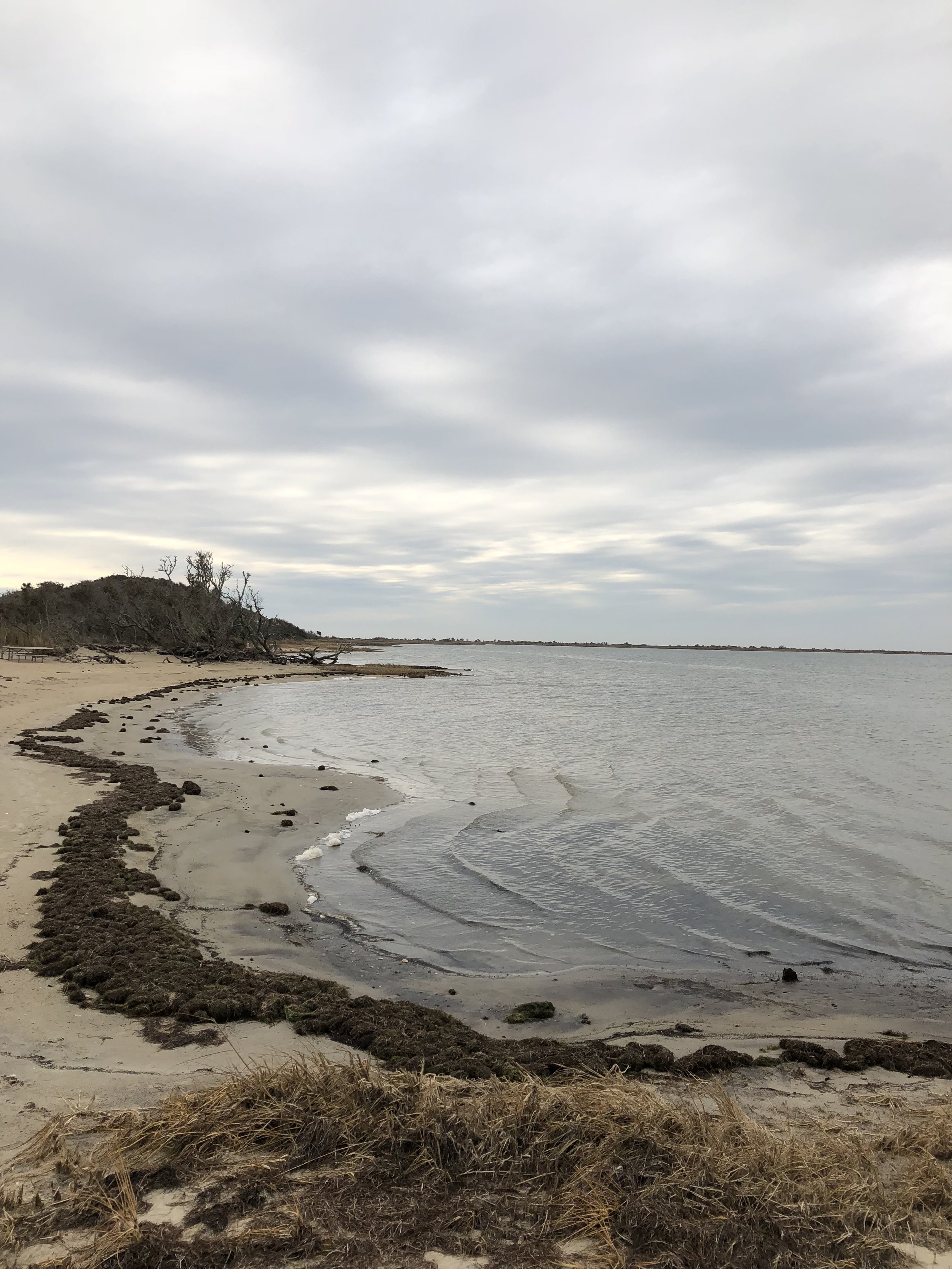
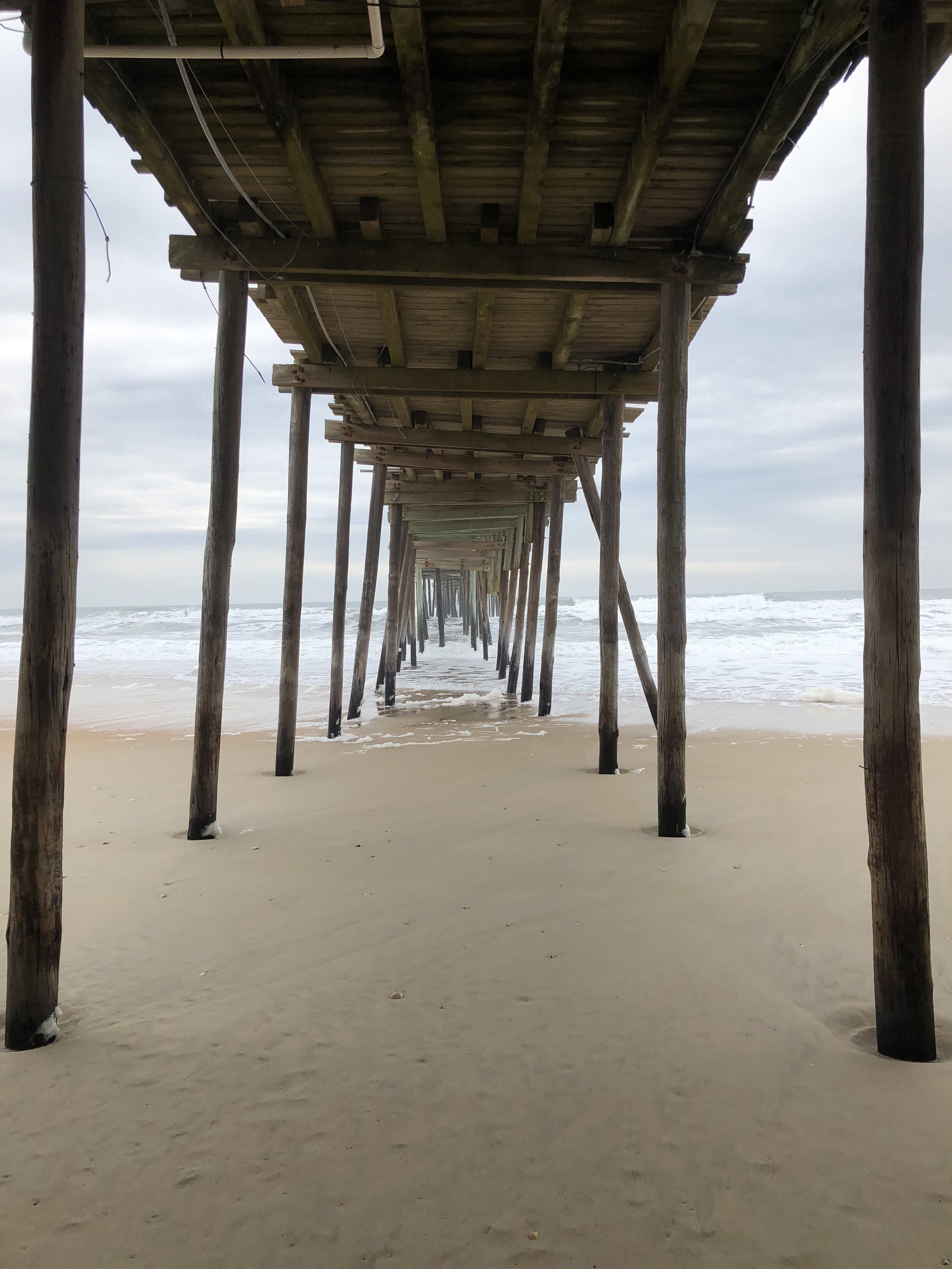
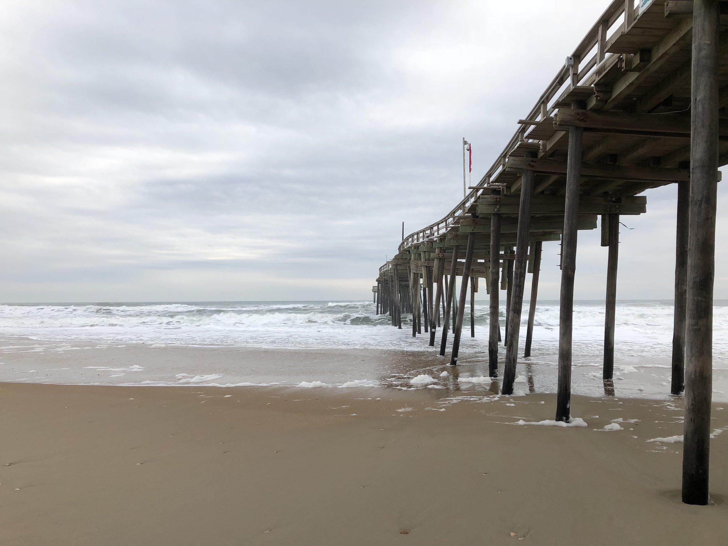
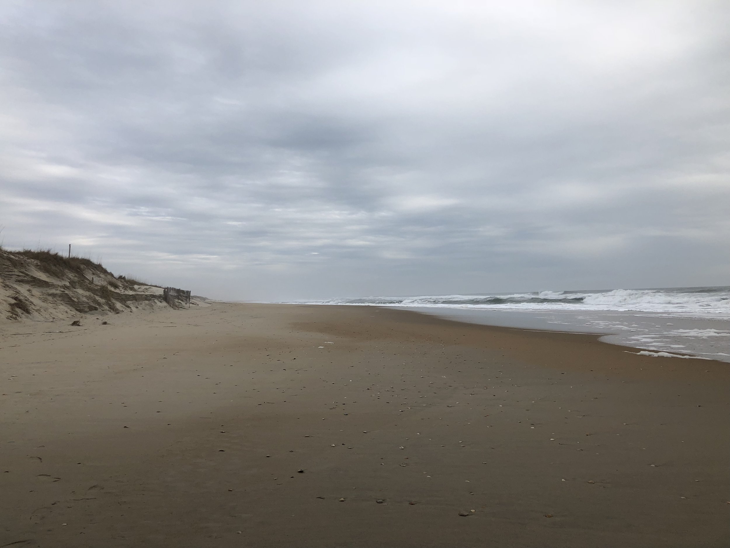
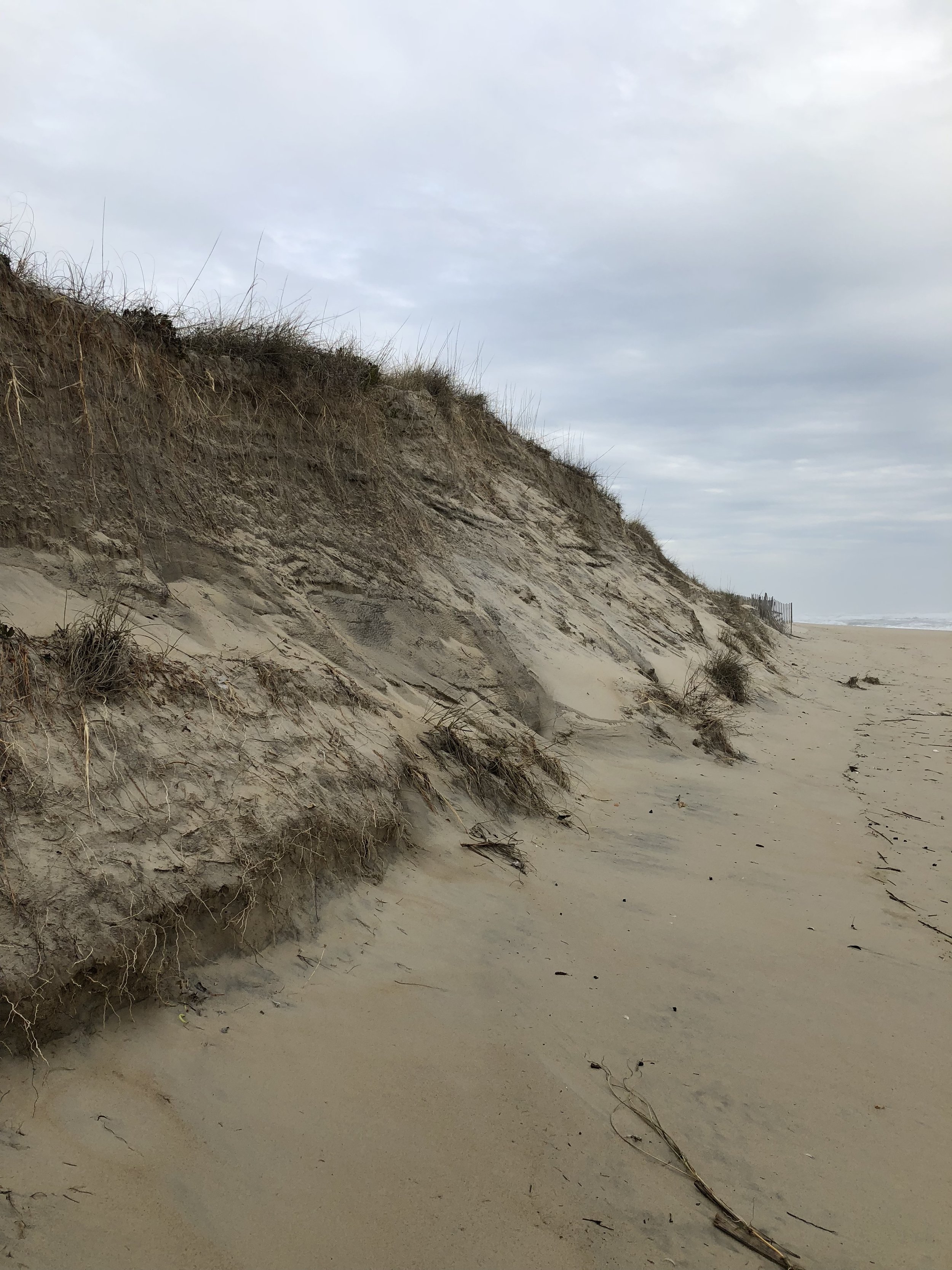
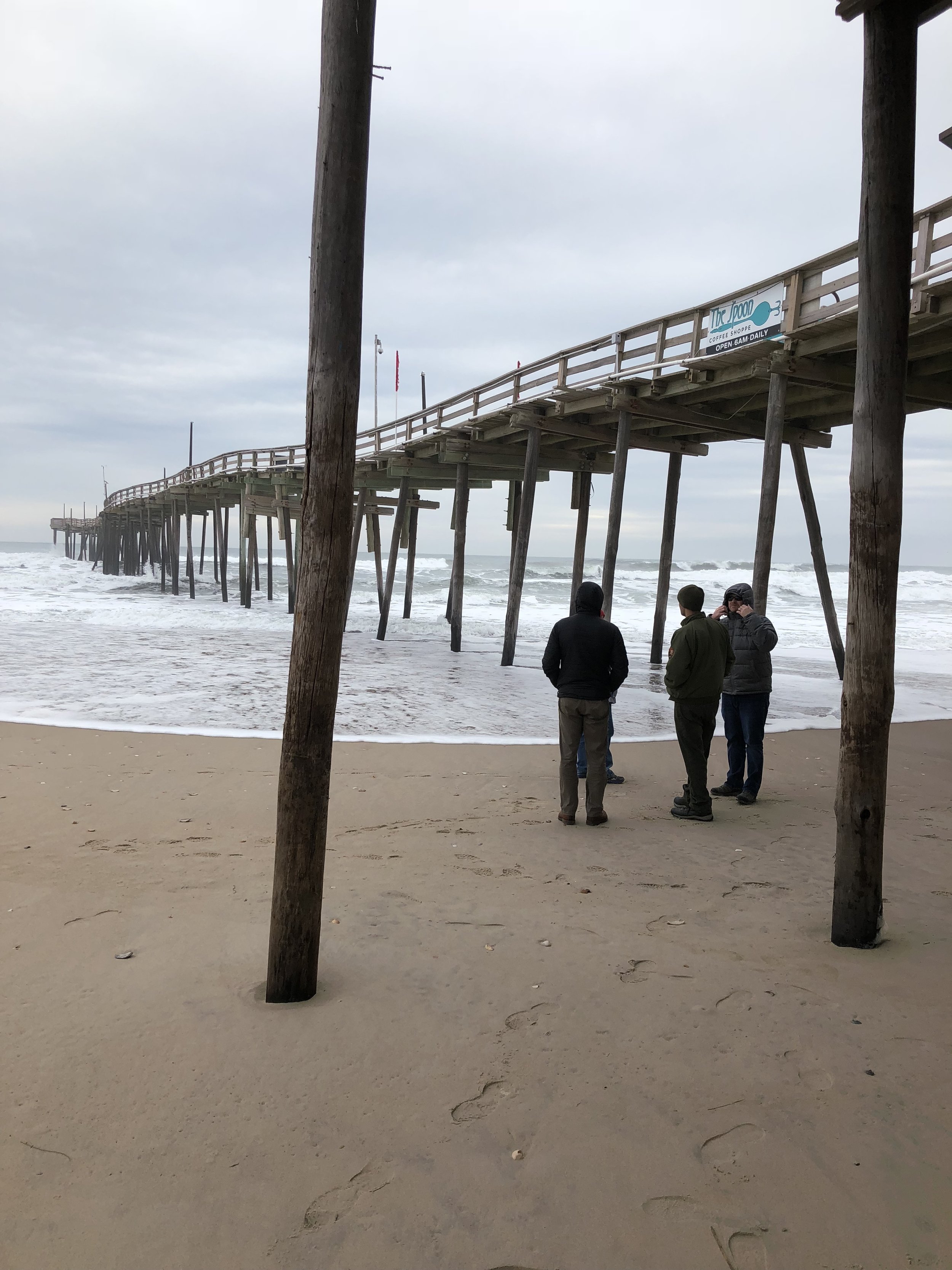
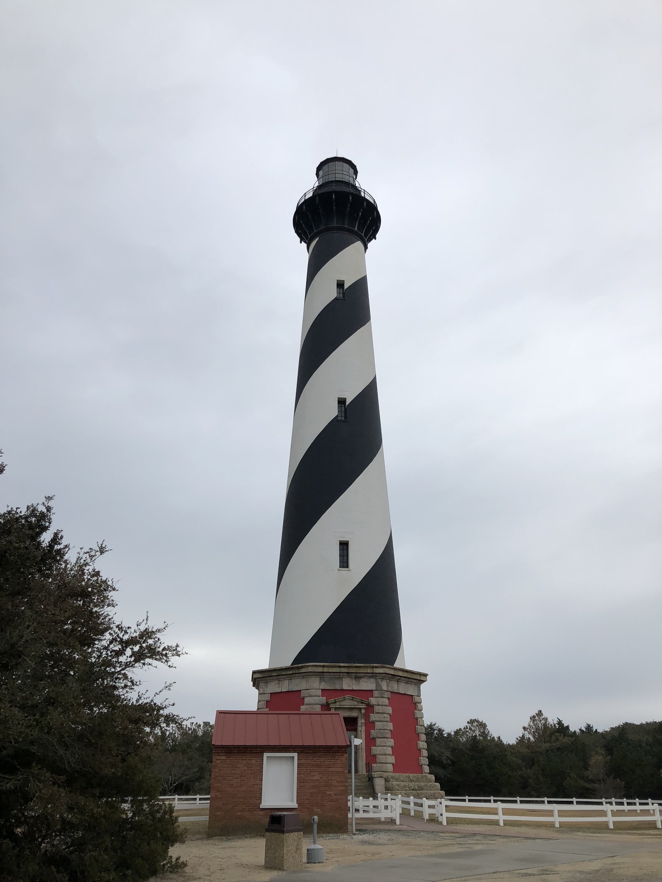
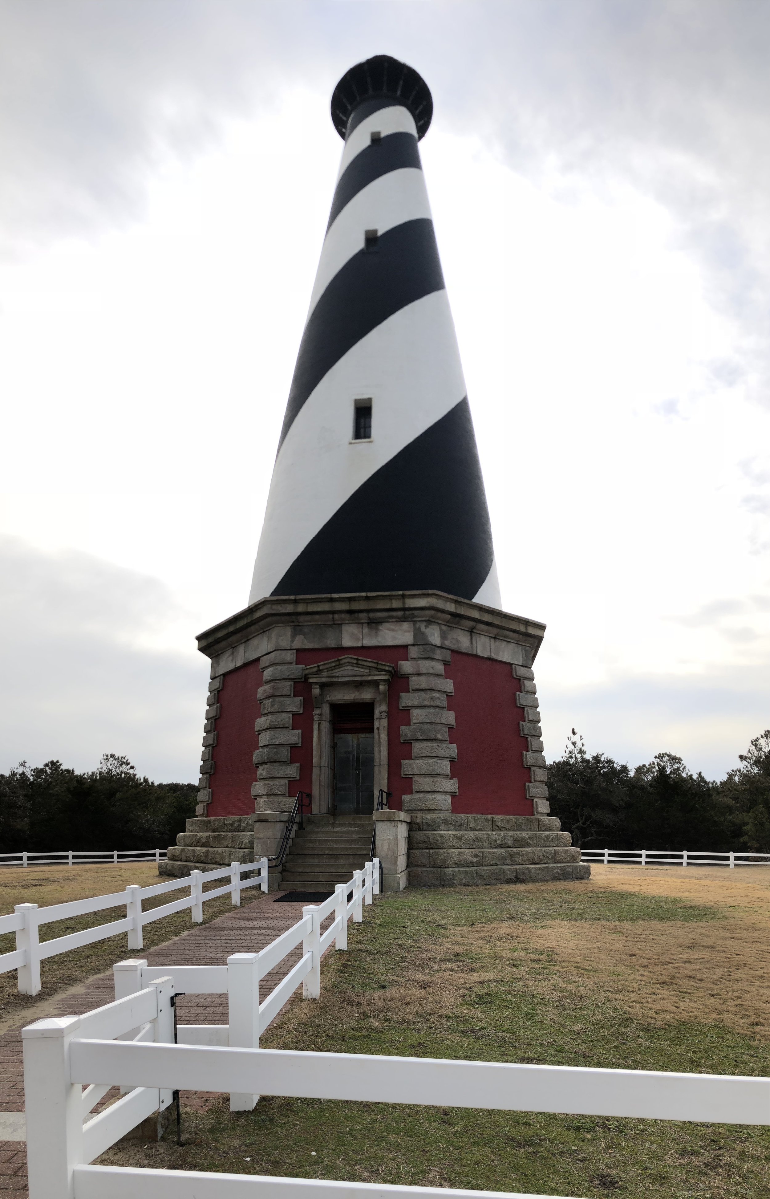
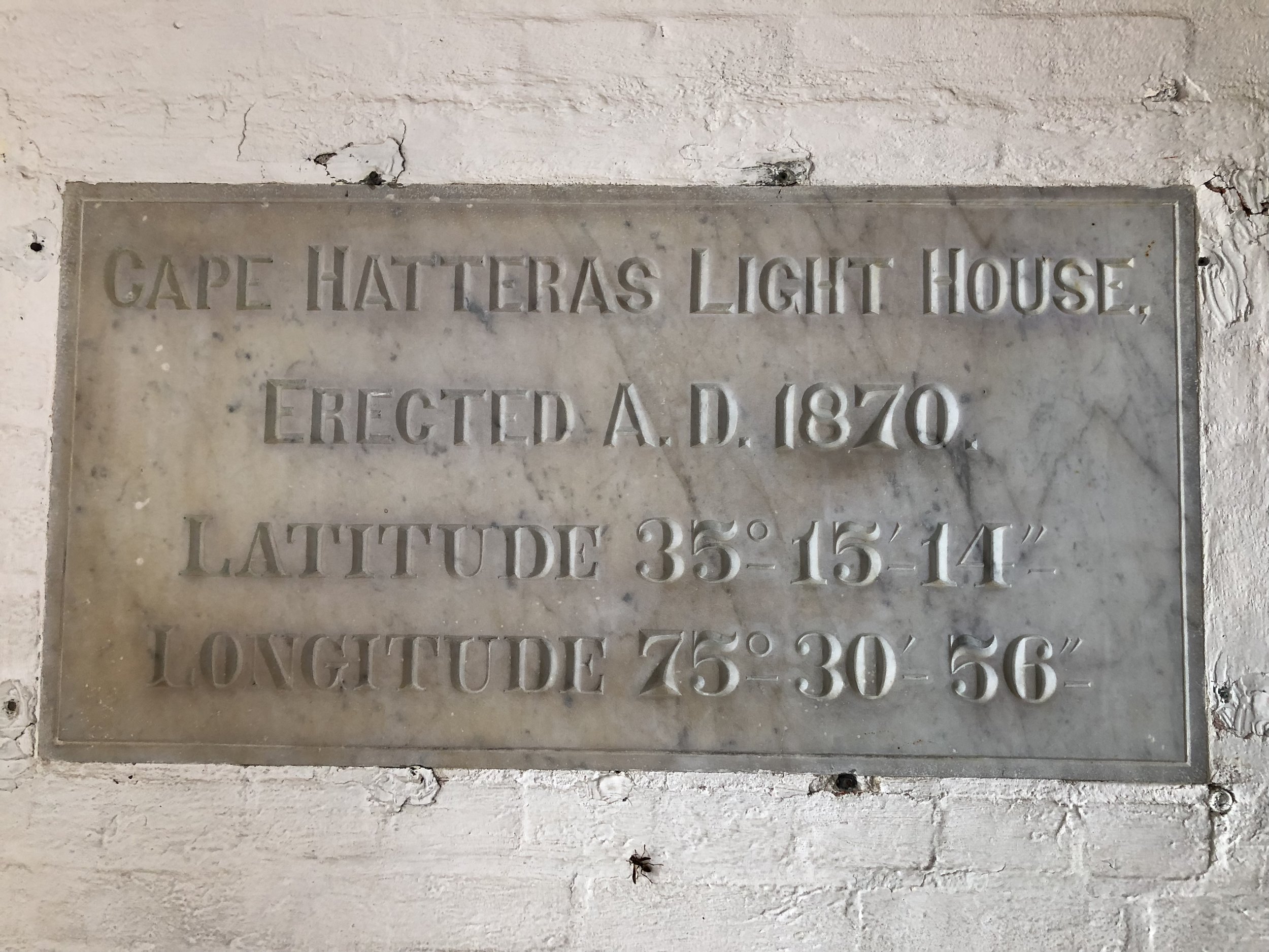
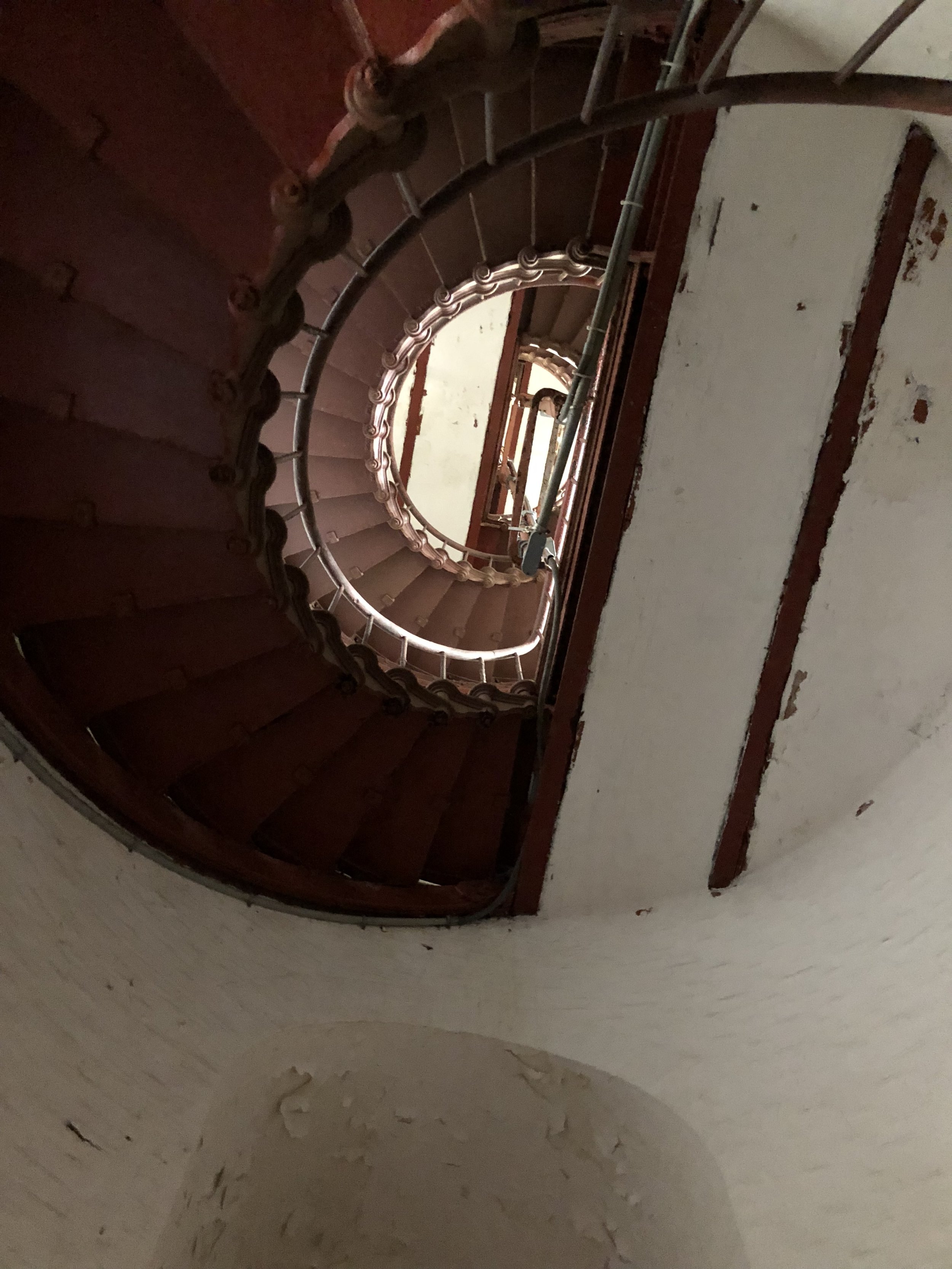
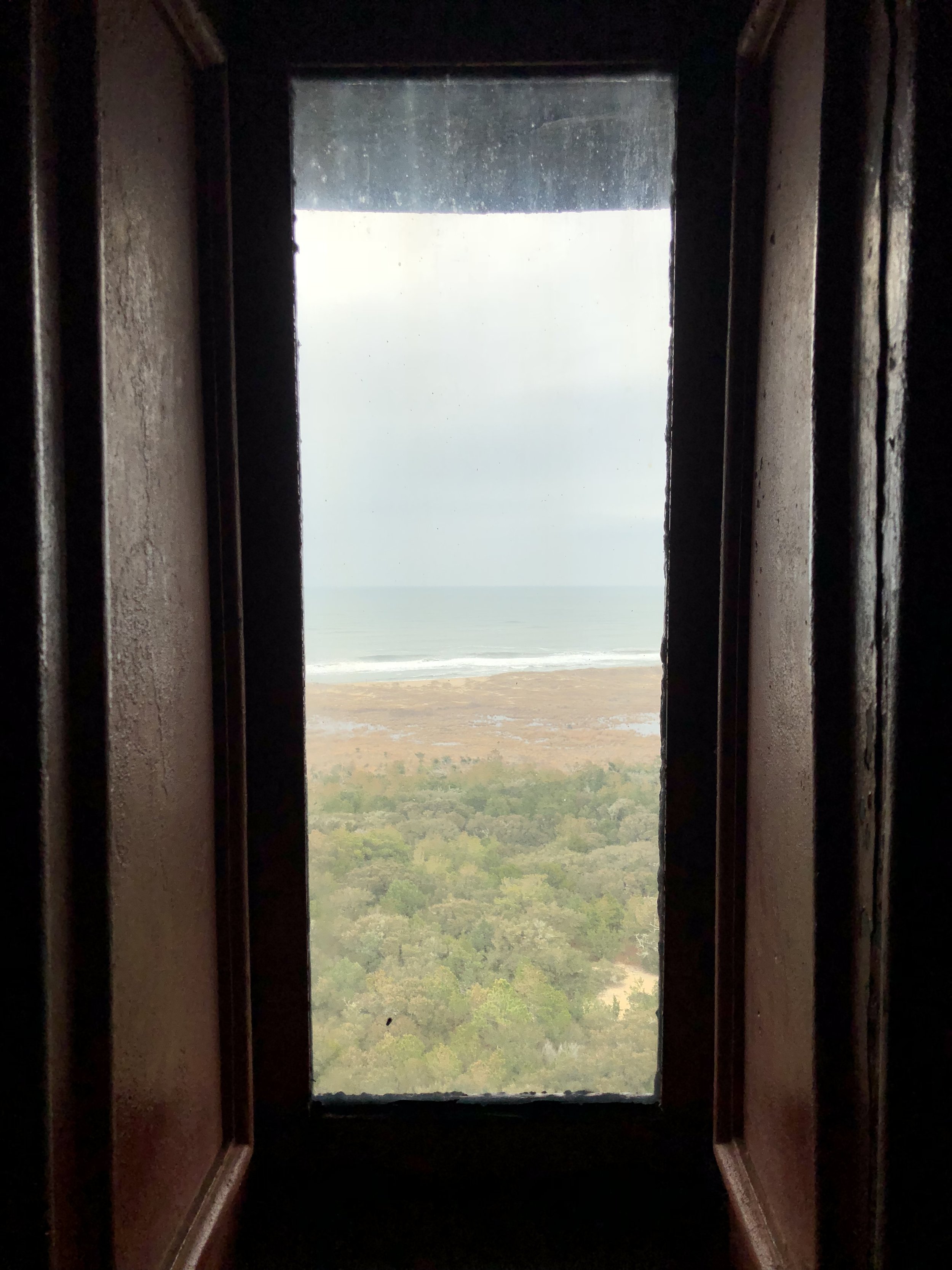
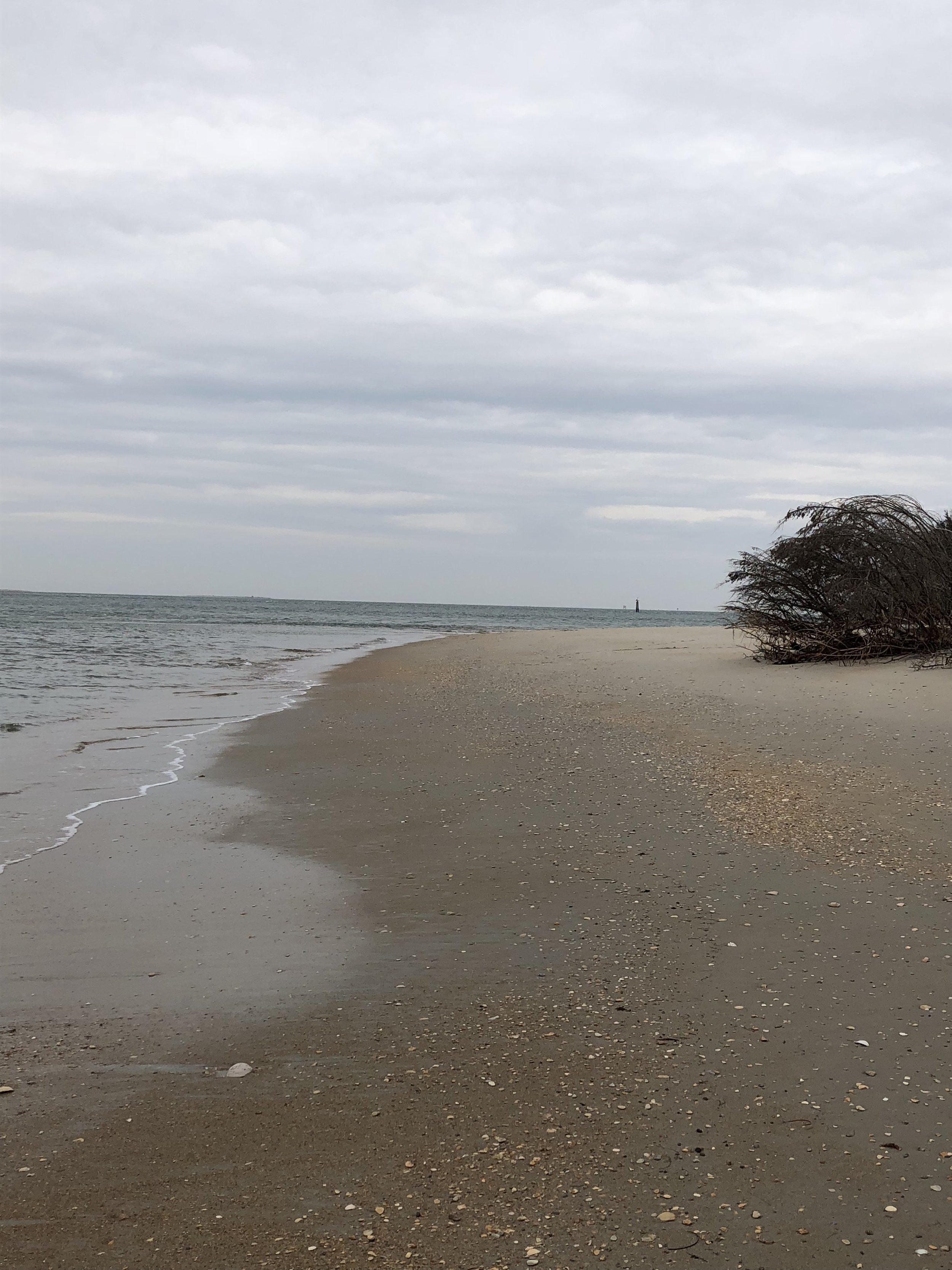
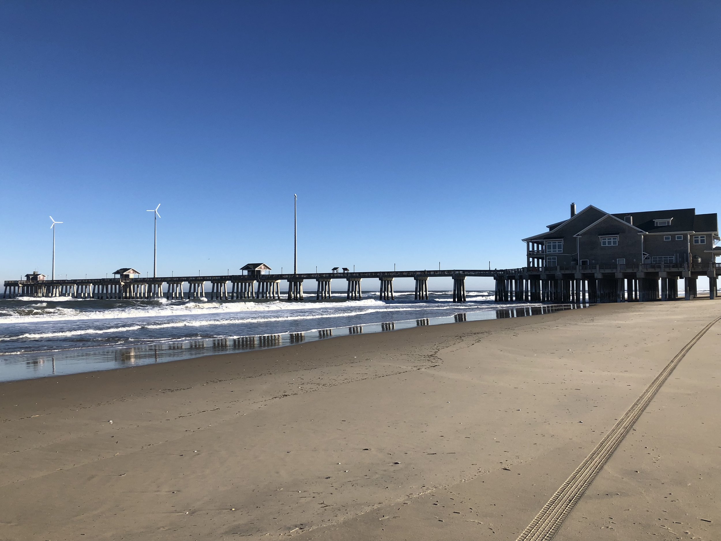
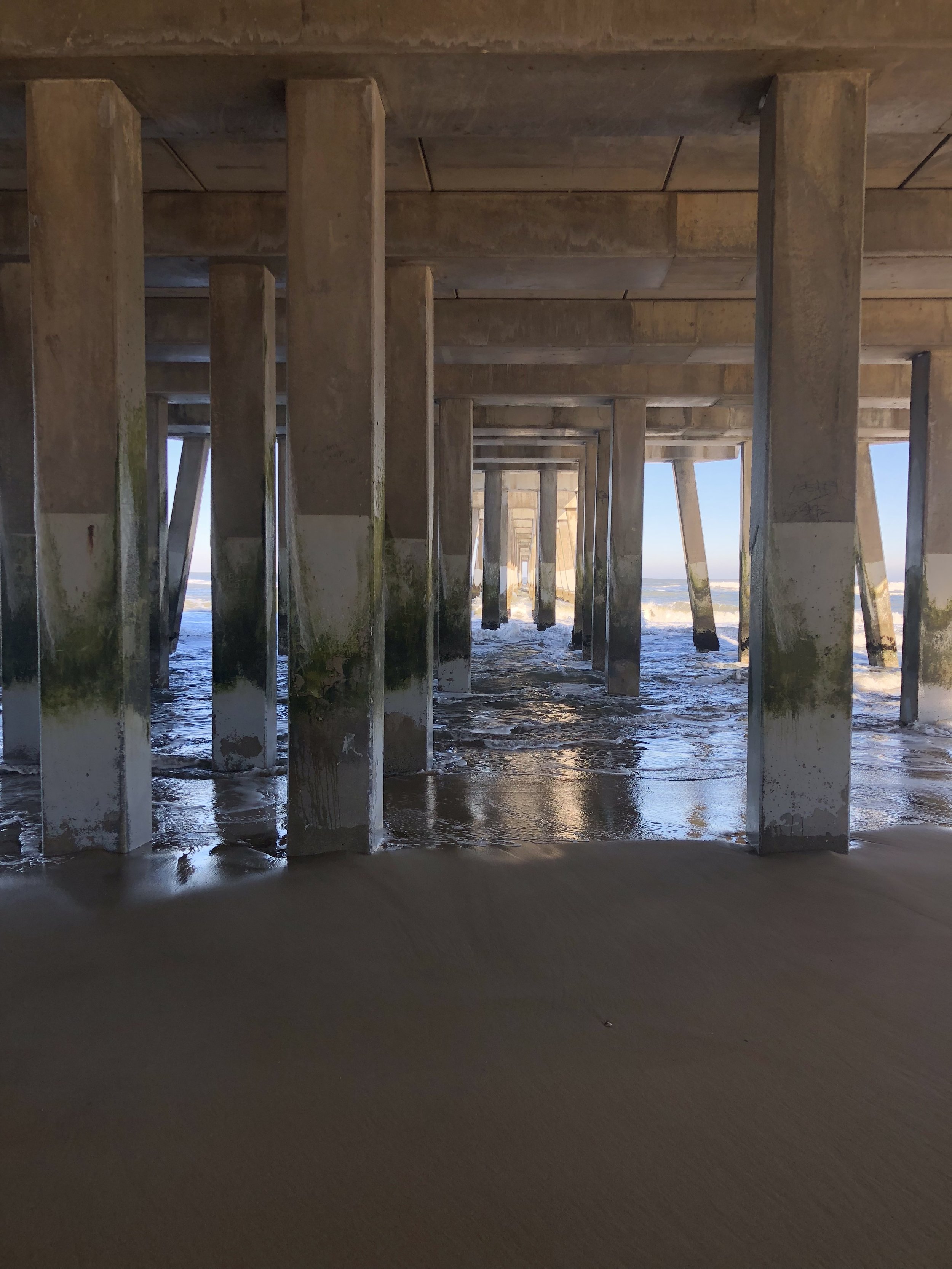
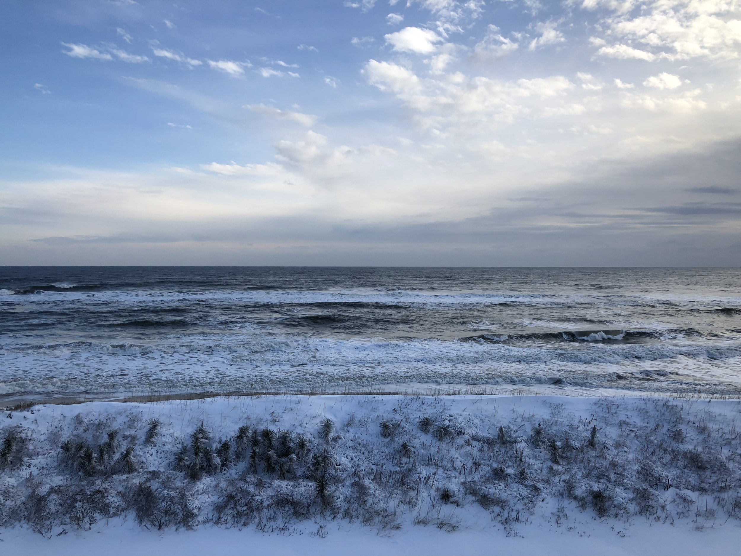
Cape Hatteras National Seashore
In mid-January of 2018, GSS staff Andy Nadeau and Kathy Allen traveled to Cape Hatteras National Seashore in North Carolina to kick-off the park's Natural Resource Condition Assessment.
The project team selected nine natural resource components for inclusion in the project, from vegetation communities (wetlands and marshes, maritime forests) and wildlife species to water quality and barrier island geomorphology. Park managers are concerned about coastal erosion and sea level rise, due to its impacts on wildlife habitat, water quality, and infrastructure. Cape Hatteras is home to a wide variety of shorebirds and a nesting population of loggerhead sea turtles. During the trip, Andy and Kathy saw numerous wintering waterfowl, miles of coastal dunes and beaches, and an 85-year old shipwreck. They also climbed the Cape Hatteras Lighthouse - all 248 steps - for a spectacular view of the Outer Banks.


GSS Spotlight!

Peter McColl
Student Intern
What is your education and professional background?
I got my B.A. in History with a focus on Medieval Literature and Philosophy since those subjects are in such demand in today's workforce (not). After graduating, I stayed in the area and taught for two years at a tiny parochial school, along with assorted desk jobs for another year. Once I started the M.S. GIS program, I focused on bringing my resume up to speed with relevant field experience. In addition to working at GSS, I've worked for a small forestry company out of Houston, MN primarily doing prairie restorations. For the last six years or so, I've also occupied a variety of roles with the Minnesota Beethoven Festival, an experience which has been pretty formative in the way I approach teamwork and confirmed me as a dry, boring music snob who no one should ever invite to their party.
What made you get into GIS? More specifically, how did you get to Saint Mary's University of Minnesota (SMUMN) in Winona?
My B.A. is from SMUMN and I've always wanted to stay in the area, so when I started looking into some alternative career paths, I naturally gravitated to local colleges. There were a variety of areas I wanted to develop professionally that weren't really an option with the background I had. I've always wanted to do work that really benefits my local community. I really just discovered GIS through research and was immediately intrigued by the possibilities and the variety it offered.
Explain briefly a project at GSS you've done that contributed to your overall knowledge and skillset.
This summer (2017) I had the opportunity to work with some local archaeologists on a dig they were conducting in Virginia. They wanted to analyze clusters of the various artifacts they has unearthed at the site. It was an excellent learning experience translating minimal spatial information into an accurate map display and working with the client to provide the analytic output they needed. Even the small amount of project management I contributed to getting the product delivered provided a window into how complex (and time consuming) that aspect of GIS can be. So shout out to Project Managers!
To see Peter's work, check out our past blog post: GIS and Archaeology
How do you see GIS fitting into your future?
The field is so versatile, I could see myself applying it in any number of ways. As I said earlier, I'm fascinated by the tools it provides to local community development projects. Whether its protecting a natural resource, analyzing demographic statistics, or used as a tool to promote local tourism, GIS can support and enhance any number of efforts to improve quality of life for communities of all sizes.
Where can we find you outside of GSS?
I am a husband and father of three, so if I'm not working or studying, I can be found with my amazing family. Outdoor recreation figures prominently in our lives and we're constantly adding to our ridiculously outsized menagerie of farm animals. Rabbits, a cow, chickens, sheep, dogs, and cats thus far, not to mention the odd hamster. In my rare moments of unoccupied time, I really enjoy reading - mostly fiction or alternative agriculture propaganda.
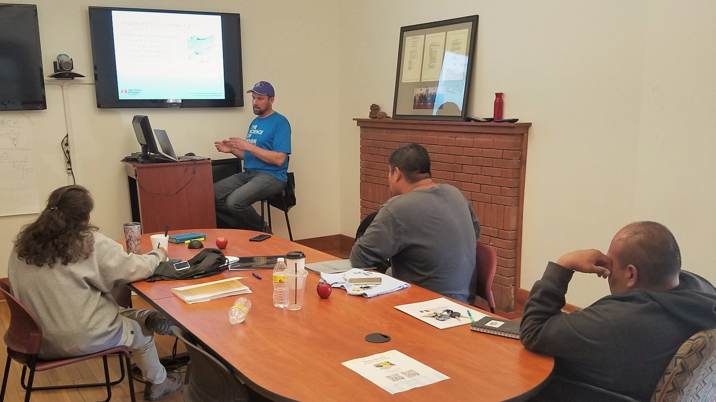
Douglas County, WI Workshop
On December 8th, 2017, Kevin Benck presented a training session workshop for Douglas County, WI staff on the use and application of a set of tools and data that will aid county staff in the identification and prioritization of wetland restoration sites/projects.
Over the last several years, GSS Analysts have been working with the Douglas County, WI Land and Conservation Department (LCD) to develop a site selection/prioritization protocol and the necessary tools and data as a component of a multi-criteria decision support system to support land management, proposed development, evaluation of wetland mitigation proposals and the creation of regional in-lieu fee mitigation (ILF) program.
GSS worked with the LCD to develop a site selection matrix protocol, the data required for this matrix, and the design of the geospatial tools to support decision-making. GSS developed geospatial datasets representing a functional assessment of current wetlands, locations of potentially restorable wetlands, and a variety of other hydrologic and land use datasets that were used to populate the site selection/prioritization matrix. Finally a set of tools were developed that allows County staff to interrogate the datasets that populate the matrix and generates data outputs that can be incorporated in the decision-making process for site selection, or to identify high priority locations for wetland restoration or preservation, or to create new matrix data for use in scenario planning or other what-if situations.


GIS and Archaeology

A map displaying the hotspot analysis on the distribution of ceramic sherds inside the project site (Newport House)
During the summer of 2017, GSS student intern Peter McColl participated in an archaeology study with James Gloor and Carol Reynolds of the Archaeology Society of Virginia. Peter used his GIS expertise to run a hotspot analysis on the data collected from the archaeology dig at the Newport House near Eyre, Virginia (see map below). He helped determine what types of ceramic sherds (and how many) were distributed throughout the project site. Peter also designed many maps that James and Carol used in their final report.
The Archaeology Society of Virginia held their annual meeting on October 26-28th, 2017. At this conference, James and Carol presented their findings; Peter's work was recognized and published.
