GSS in New Mexico’s Aldo Leopold & Gila Wilderness Areas and Gila National Forests for wetland mapping
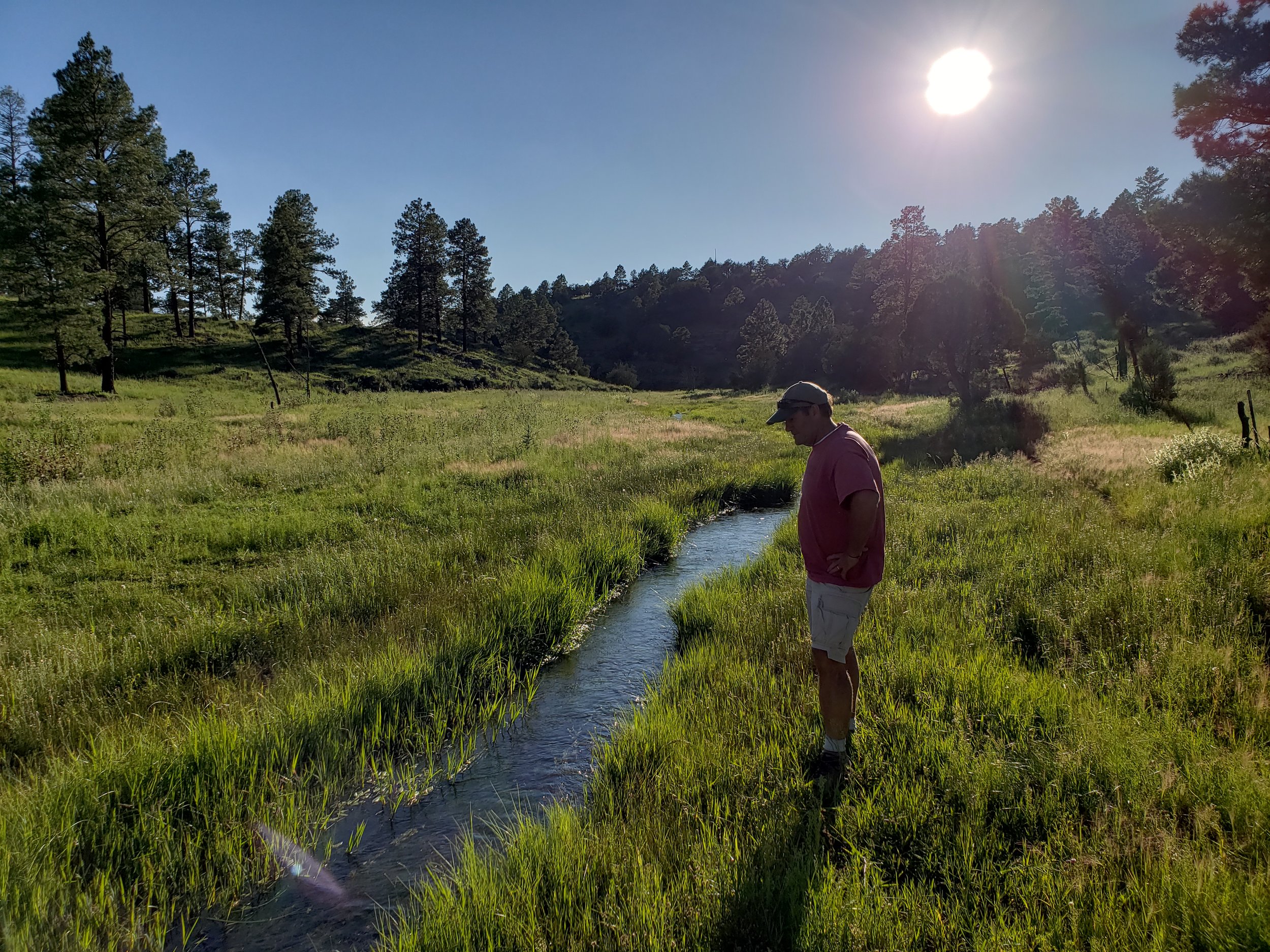
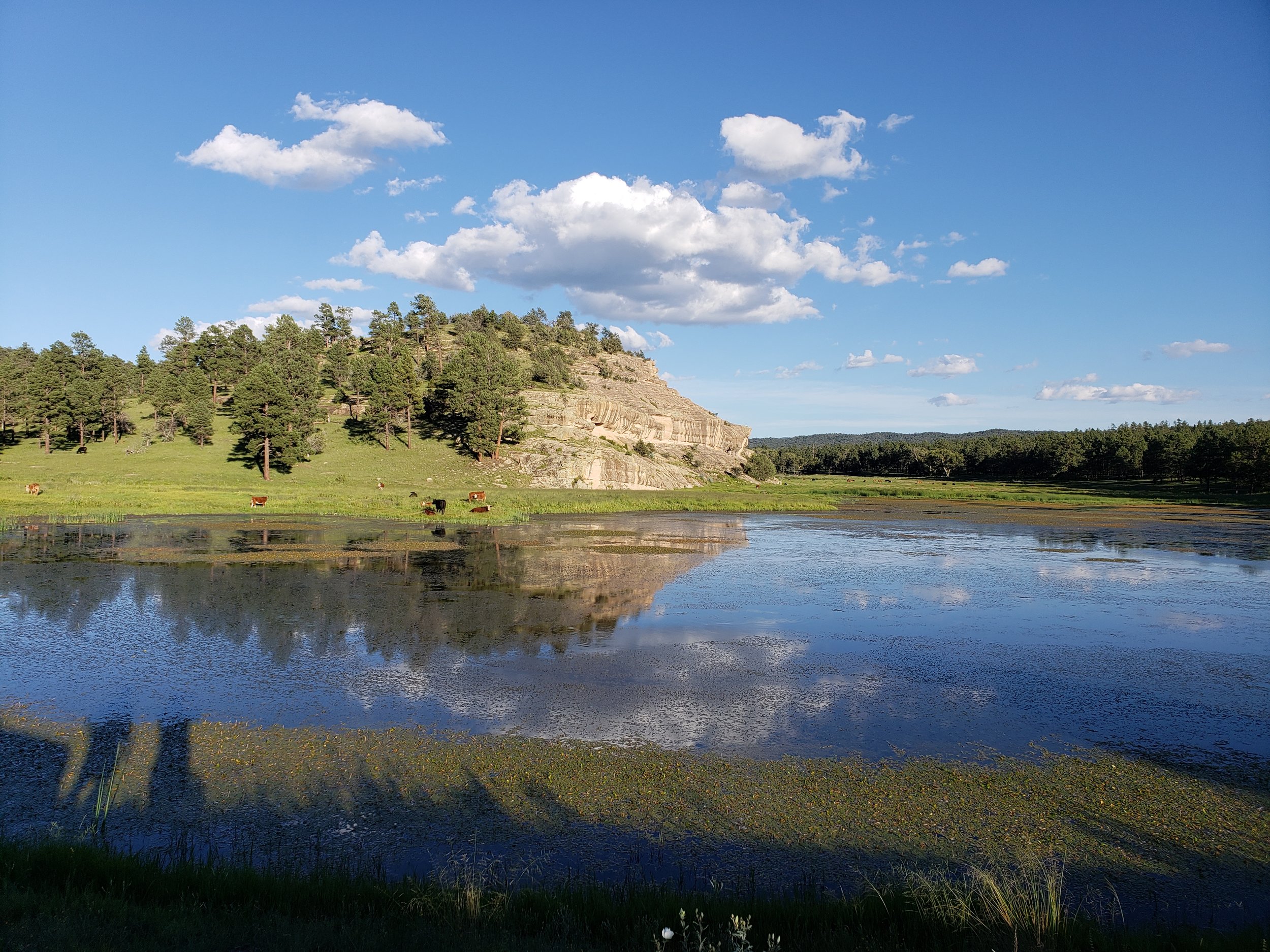
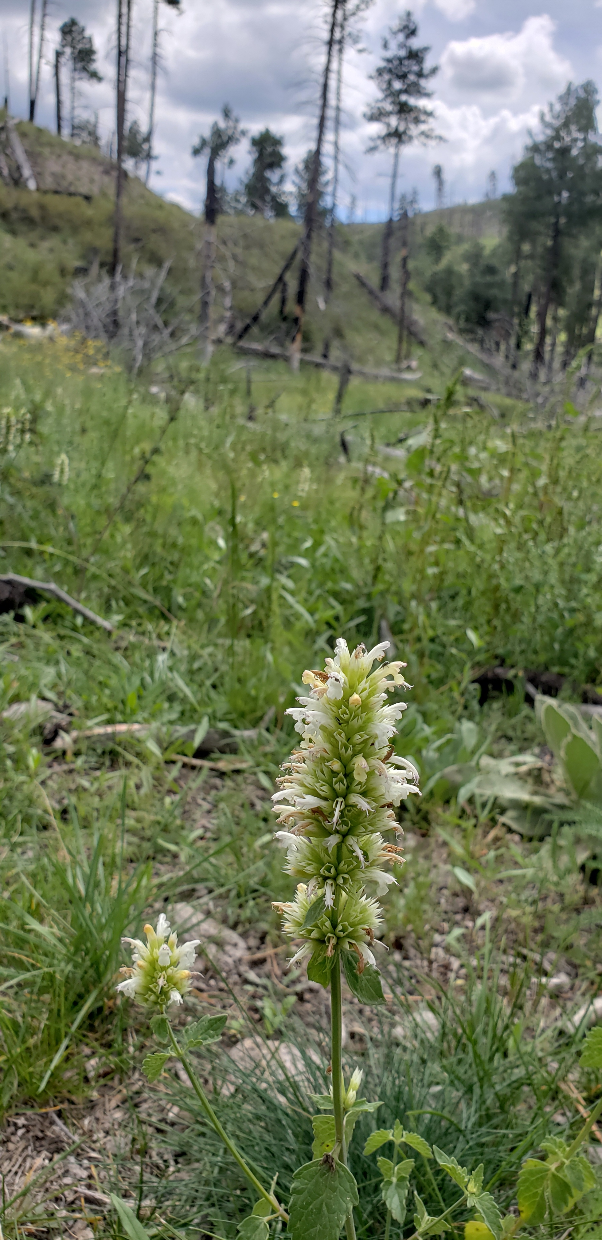
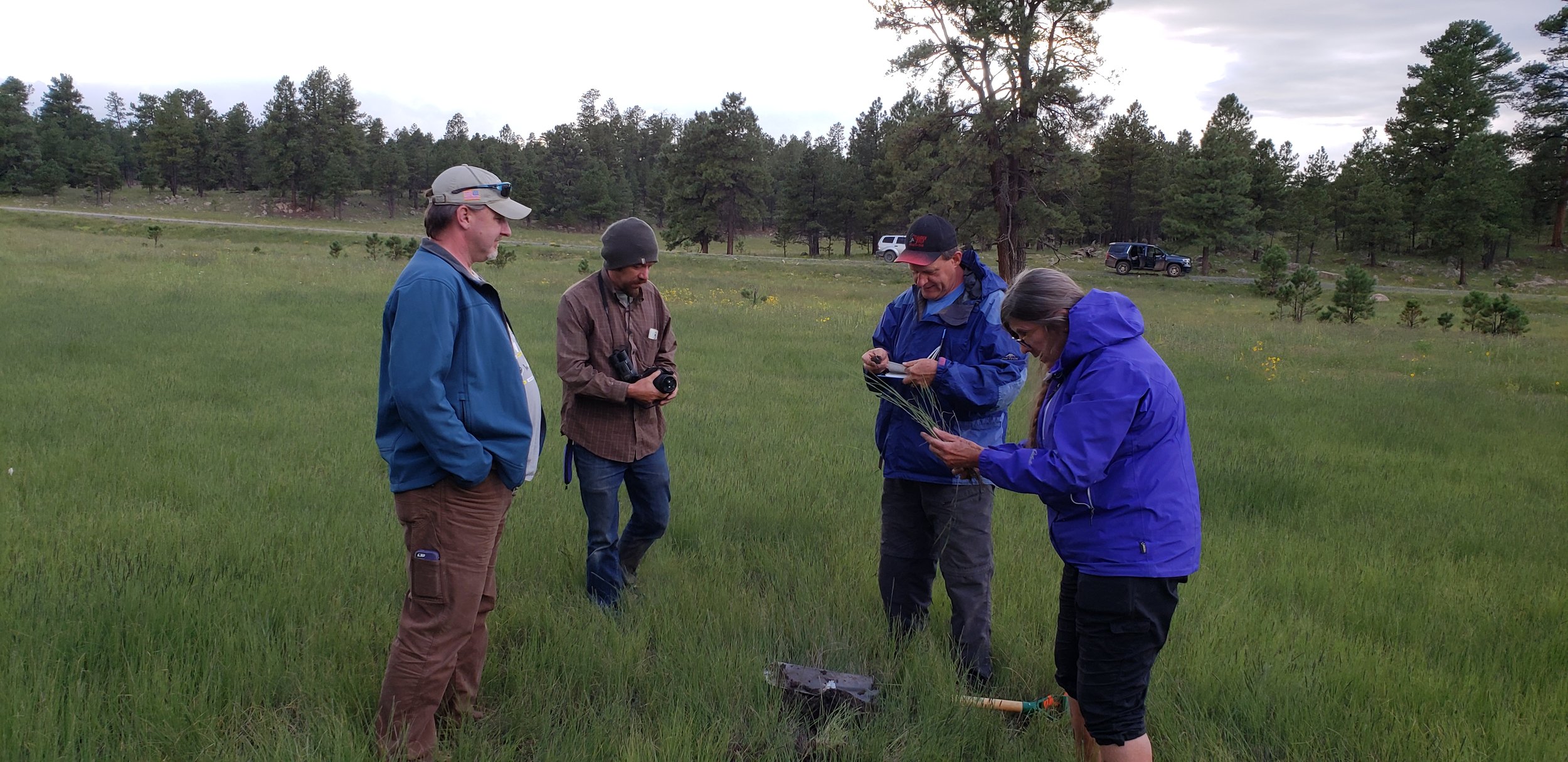
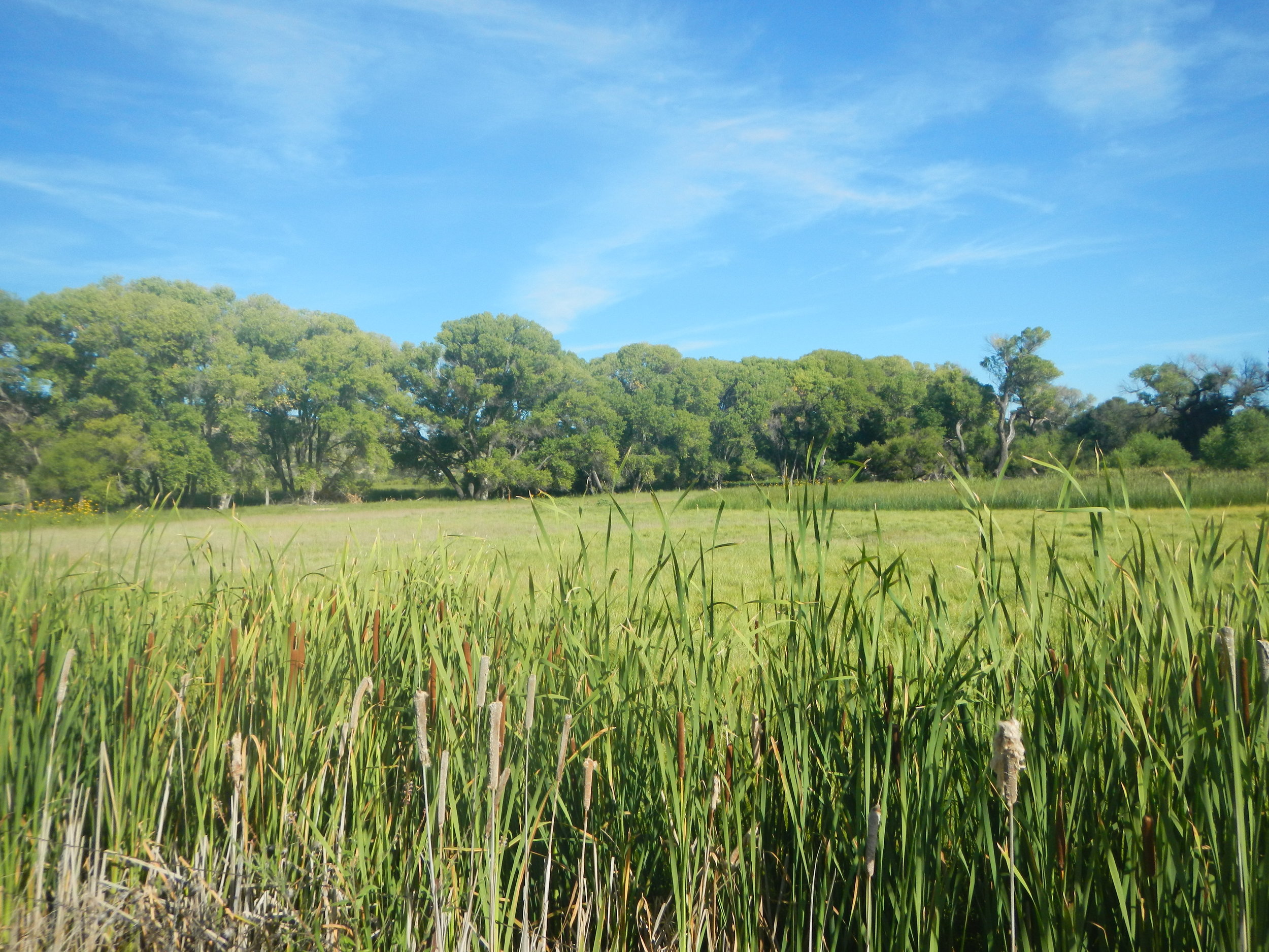
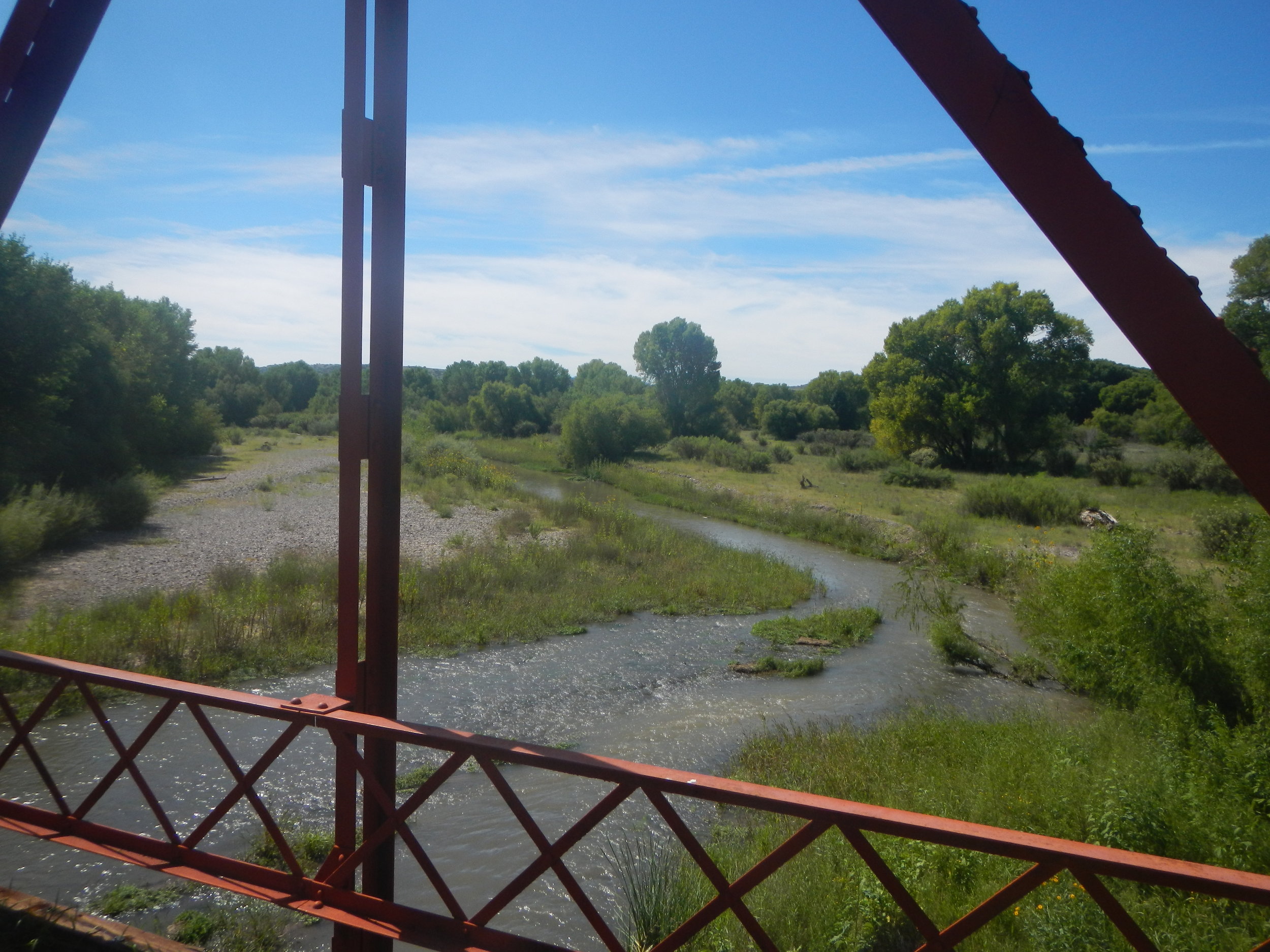
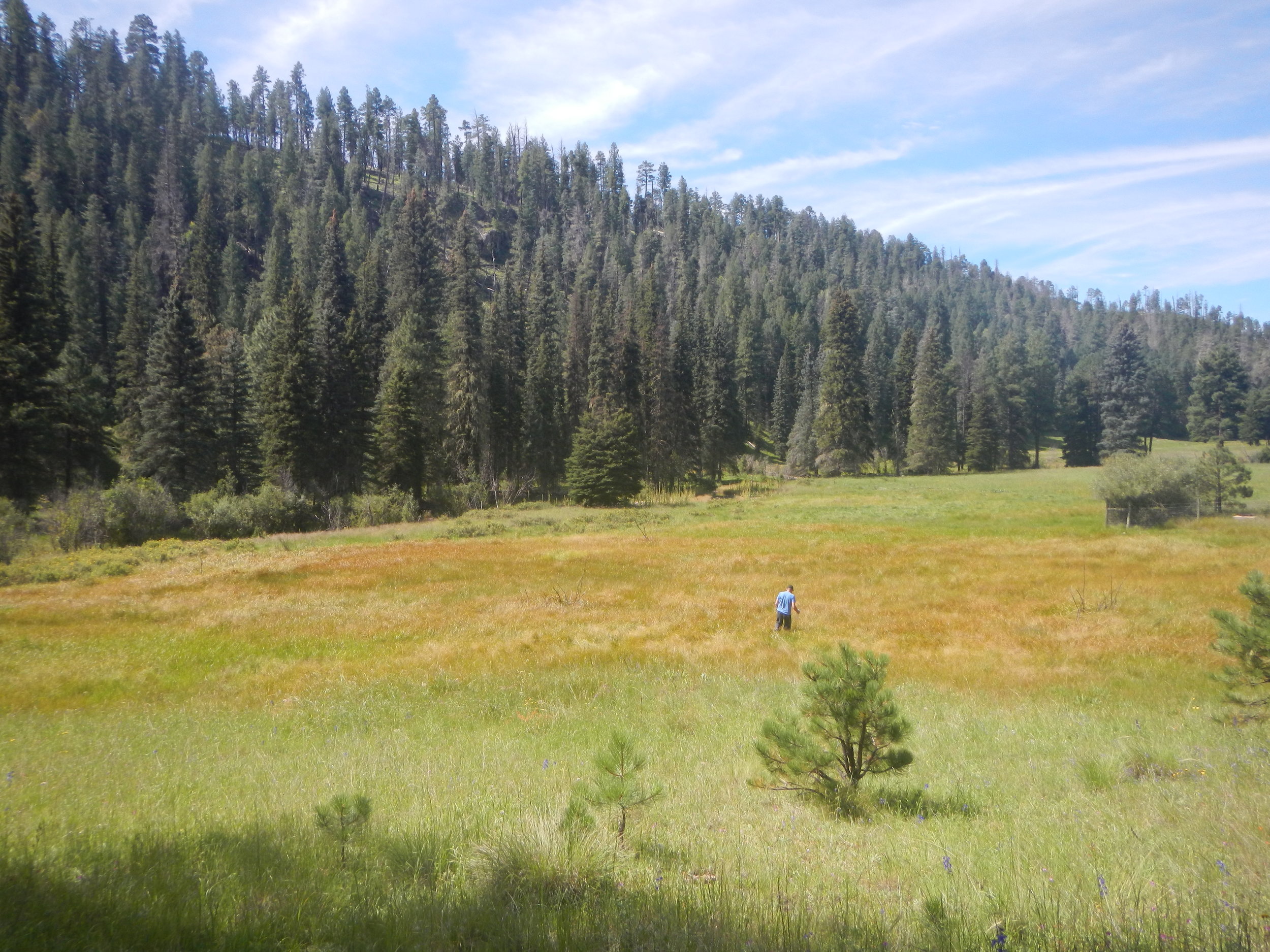
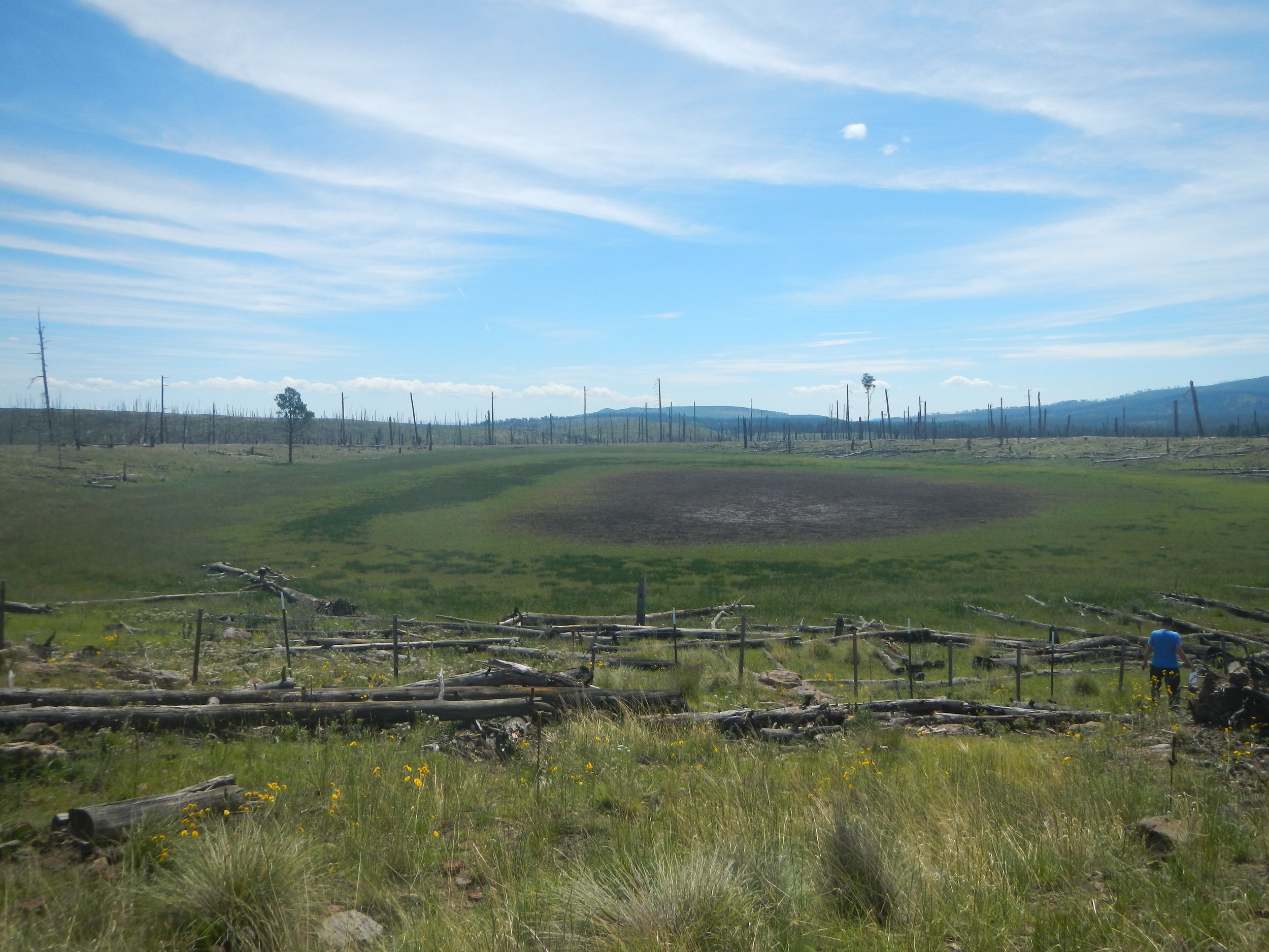
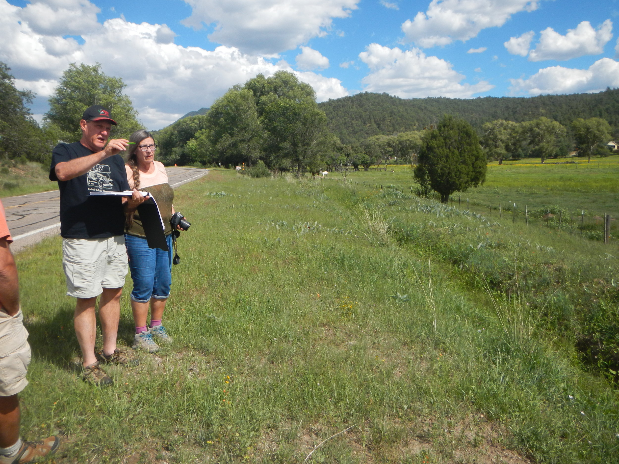
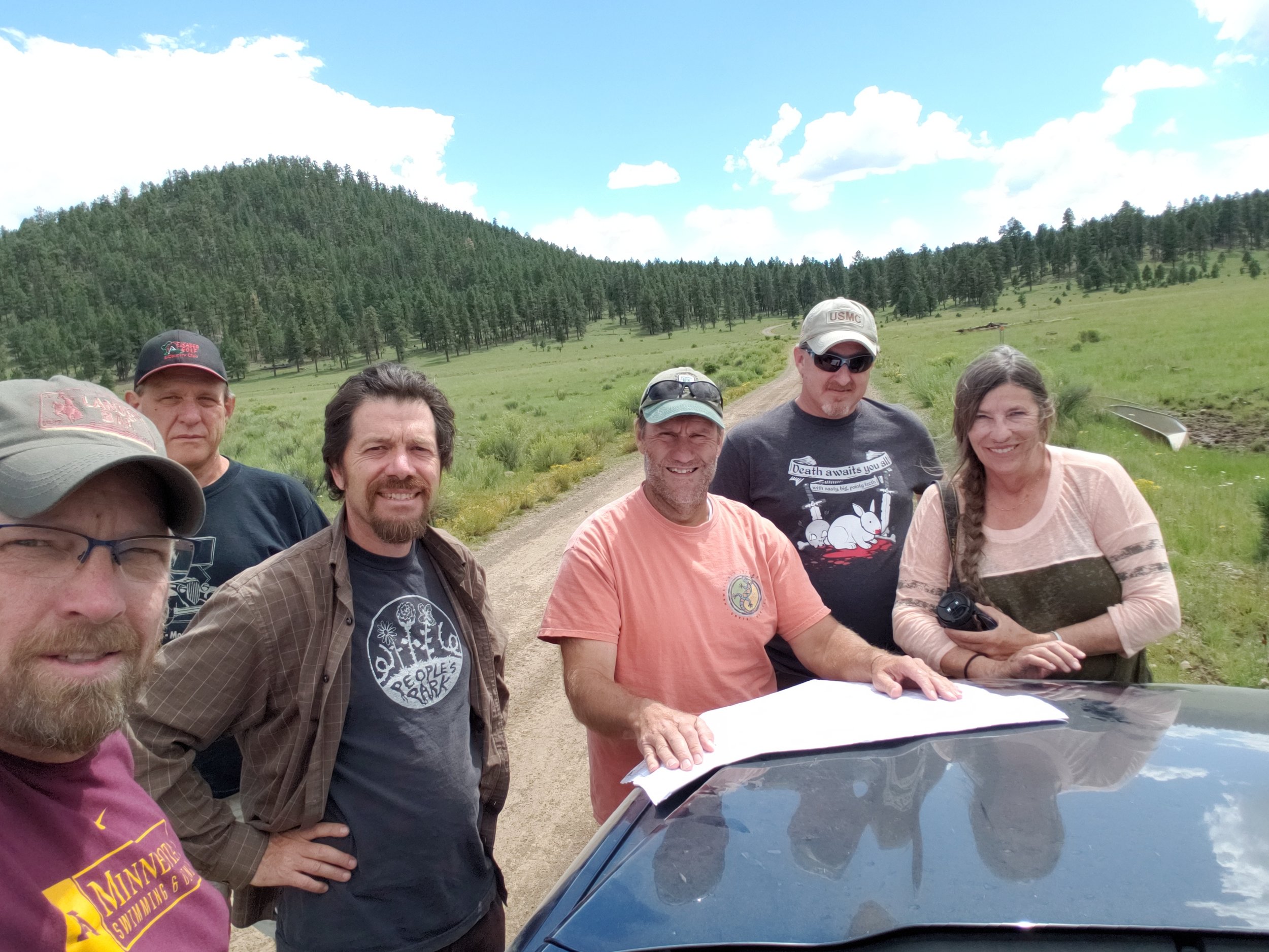
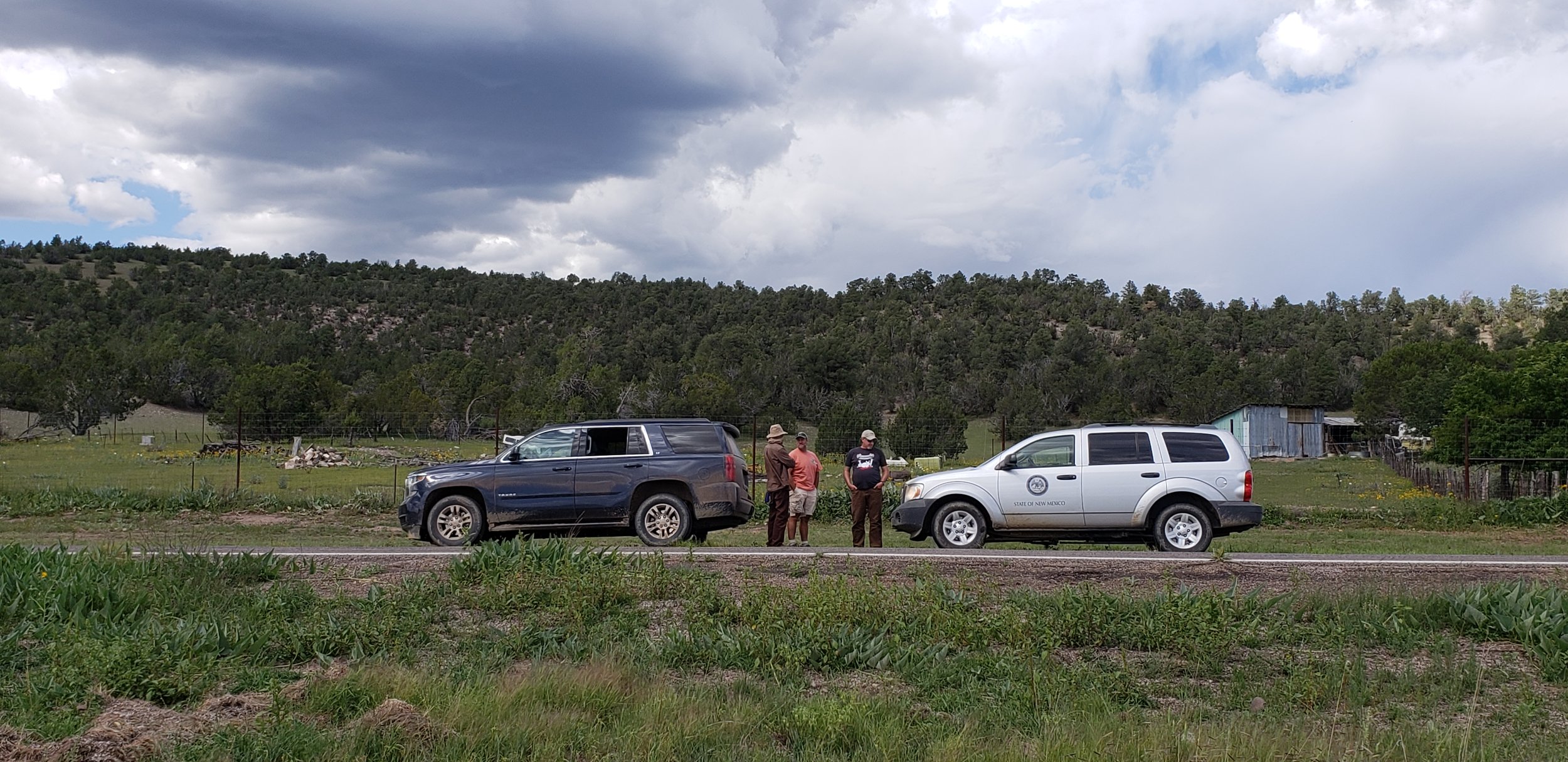
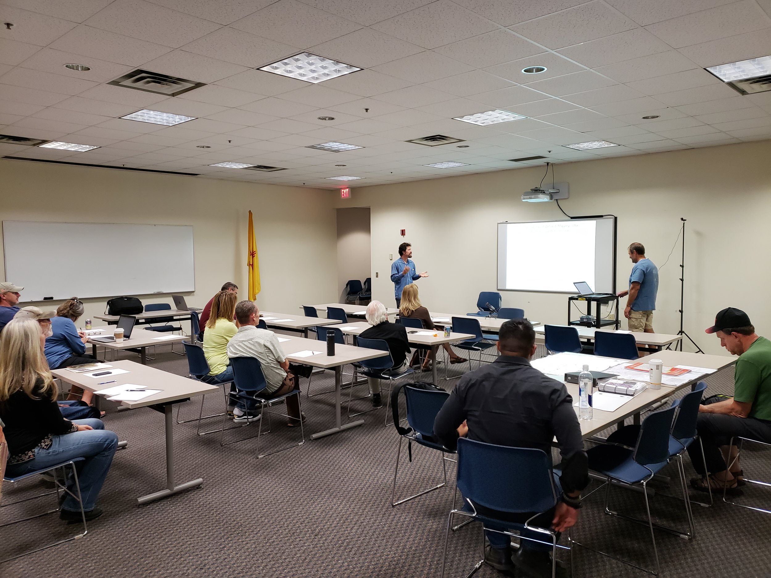
GSS Executive Director Andy Robertson, Sr. Photo Interpreter John Anderson and staff member Eric Lindquist recently returned from fieldwork in southwestern New Mexico. The three were accompanied by staff members of the New Mexico Environmental Department as well as U.S. Fish and Wildlife Service’s National Wetlands Inventory program.The group was gathering insight on wetlands in the study area for an upcoming mapping project. Area hydrology, vegetation, local knowledge, satellite imagery and other characteristics were gathered and compared for the landscape-level mapping. The knowledge and data gathered goes back to the office and a 'wetland key' is created for photo interpreters to guide them in creating modern digital wetland and riparian area data. This process, referred to as ‘Pre-mapping Fieldwork’, along with ‘Draft Map Review’ fieldwork and a rigorous ‘Quality Control’ process will lead to completion of the wetland-mapping data product. The visit also included a joint presentation by GSS and NMED to stakeholders and invited groups on the process and goals of the project. When completed, this two-year project will result in the first-ever comprehensive wetland inventory for this region of the state.