GeoSpatial Services Fieldwork in the Kuskokwim River Basin, Alaska
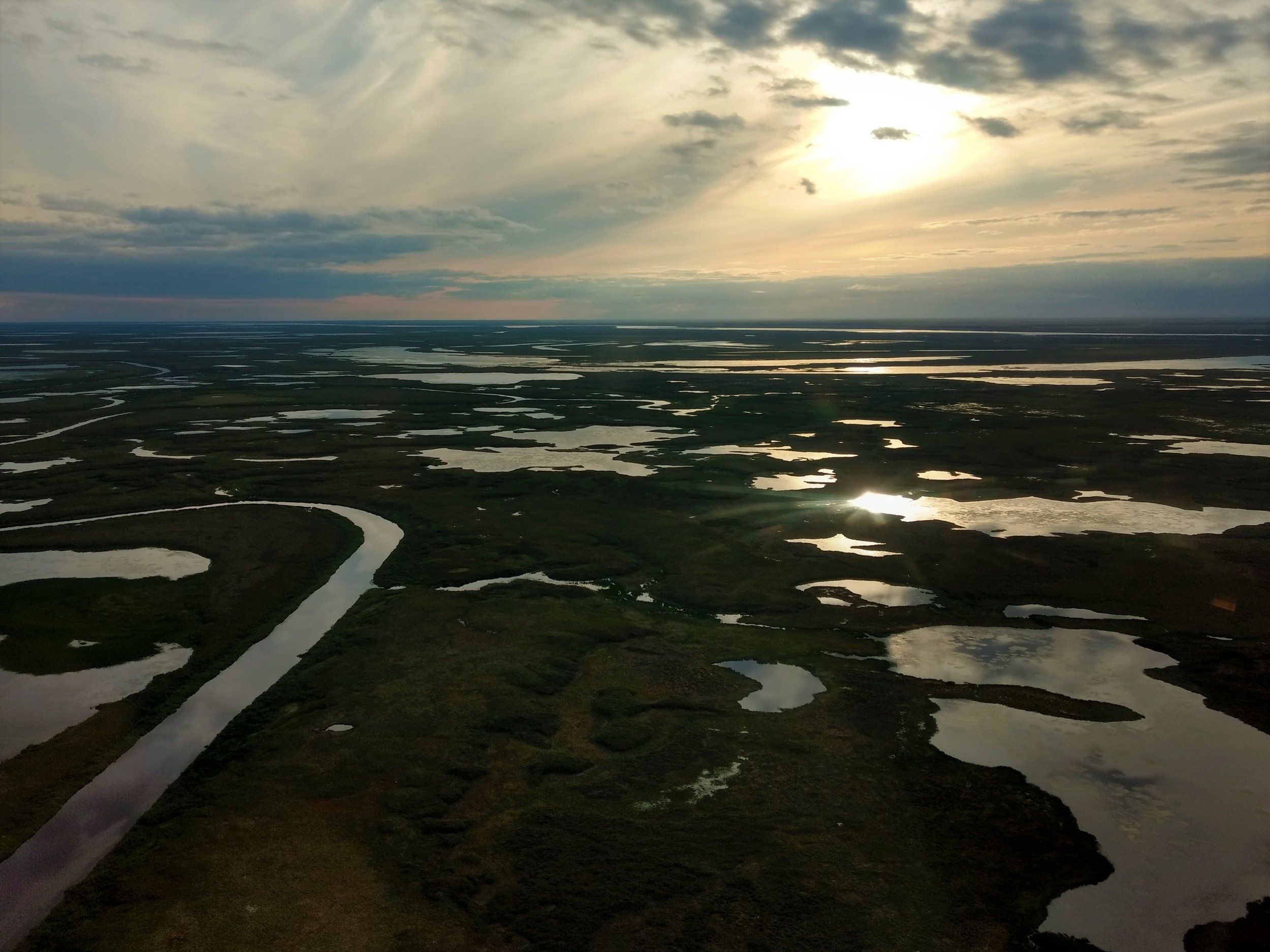
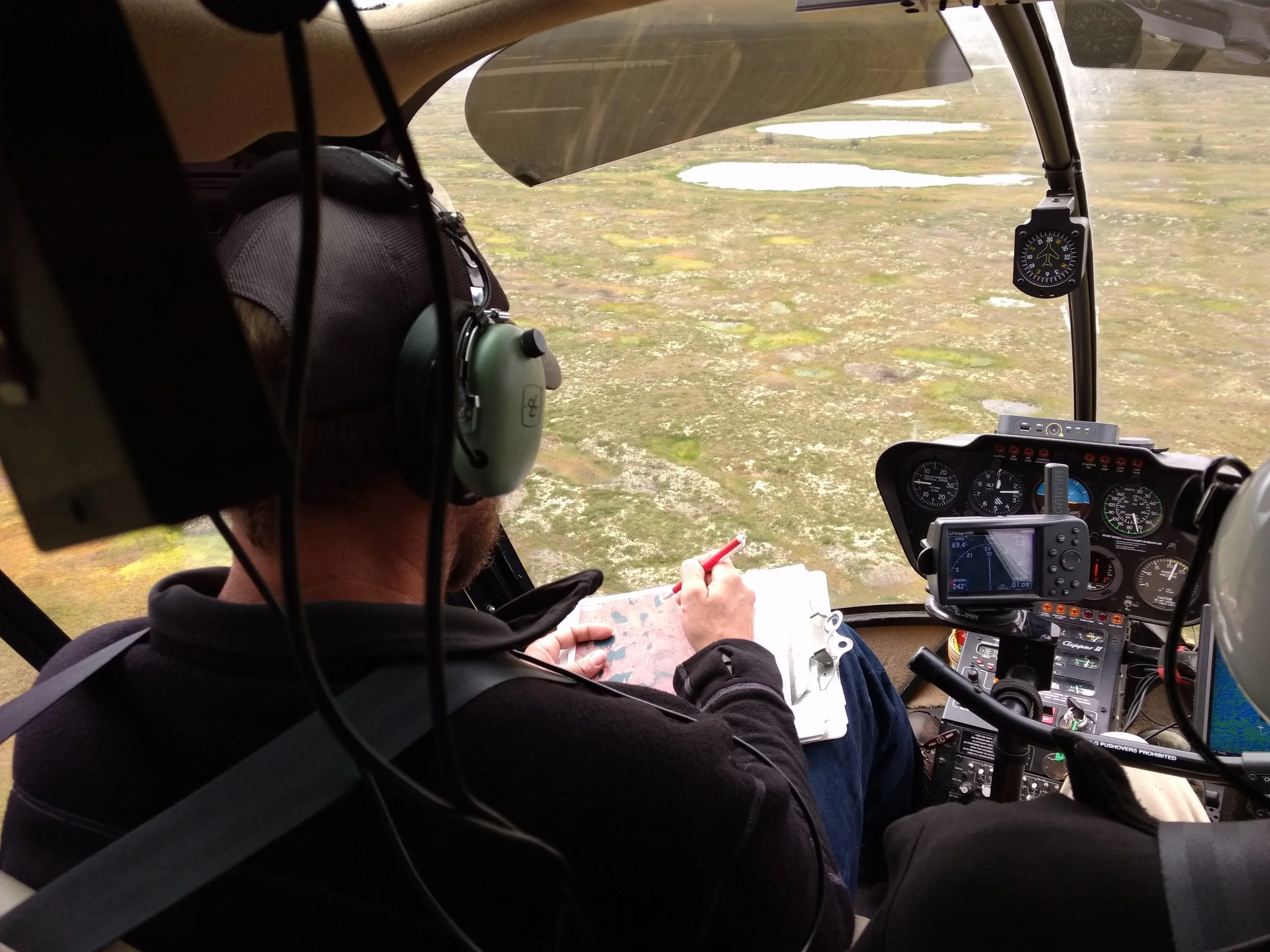
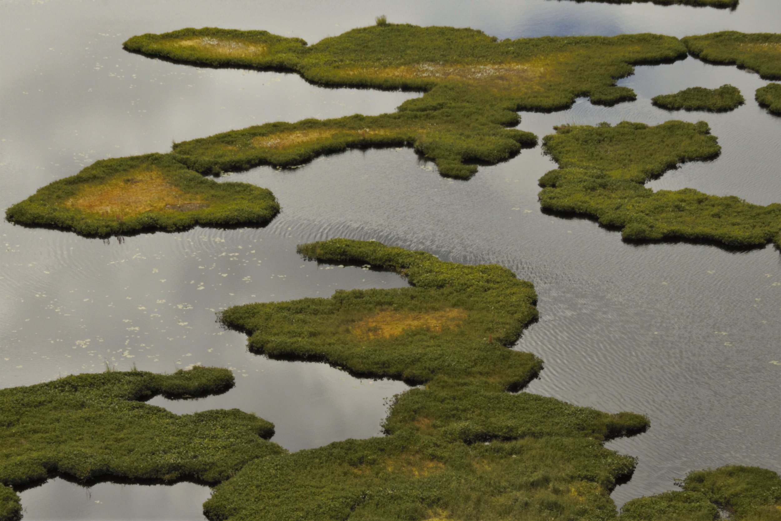
GeoSpatial Services director, Andy Robertson, and project manager, Kevin Stark recently traveled to western Alaska for reconnaissance and wetland mapping validation fieldwork in the Kuskokwim River Drainage. They were joined on the fieldwork by the new National Wetland Inventory Coordinator for the U.S. Fish and Wildlife Service’s Alaska Region 7, Elizabeth Powers, in Bethel, Alaska. The team contracted a helicopter to fly them to pre-determined field locations where they were able to verify satellite imagery signatures and to build a library of reference photos and observations of wetlands and hydrography*. This process involved examining available satellite imagery, correlating signatures to observations from the helicopter, and some on-the-ground field sampling such as identifying dominant vegetation, identifying hydrologic indicators of wetlands, and taking soil samples to confirm hydric soils. They also saw a variety of wildlife, including bears and moose, and observed the impacts of historic gold mining in the area.
* hydrography is the science of surveying and charting bodies of water, such as seas, lakes, and rivers.