
NEWS
Mid-Summer Update: Our Field Interns Are Thriving!
If you try to reach our GSS interns right now, you’ll likely get an out-of-office reply—and that is exactly what we like to see! Halfway through the summer season, our sponsored field crew is deep in the wilderness, putting their skills to work across North America.
We are thrilled to share that field updates and photos are officially rolling in! Our students are navigating rugged terrains, gaining critical hands-on conservation skills, and sending back proof that they are making a tangible impact.
📍 Spotlights from the Field
Lola Schwinghamer – Rio Grande Return (New Mexico)
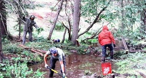
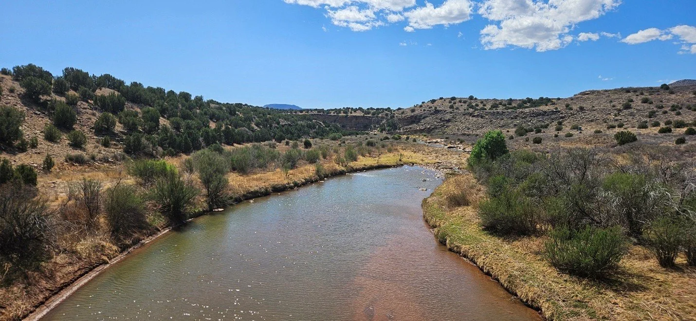
Lola checked in from the Southwest with an update full of enthusiasm for the diverse restoration techniques she's mastering. Trading her past Alaskan adventures for the river valleys of New Mexico, Lola has been fully immersed in hands-on watershed healing.
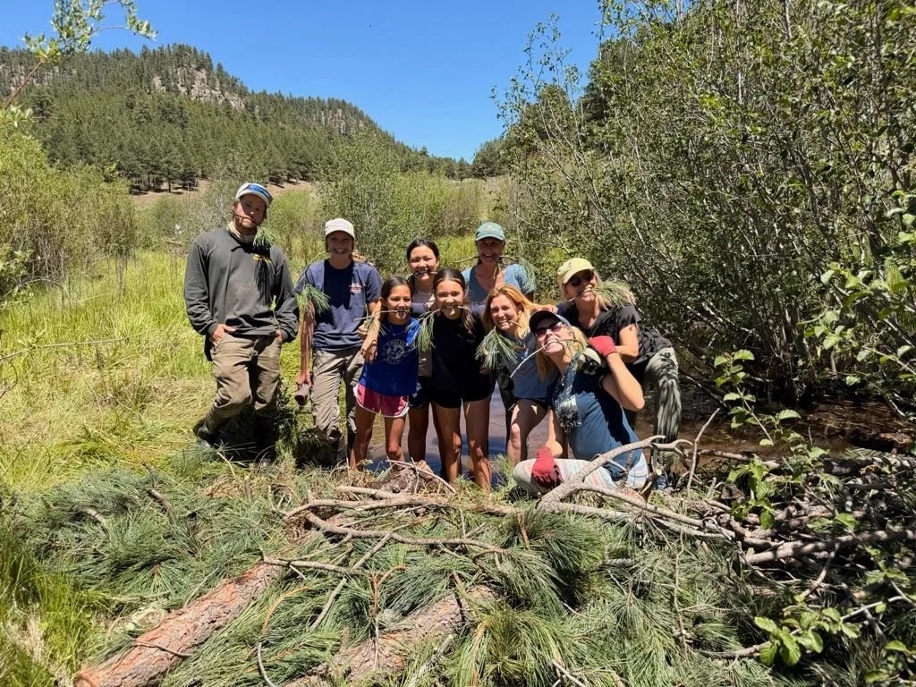
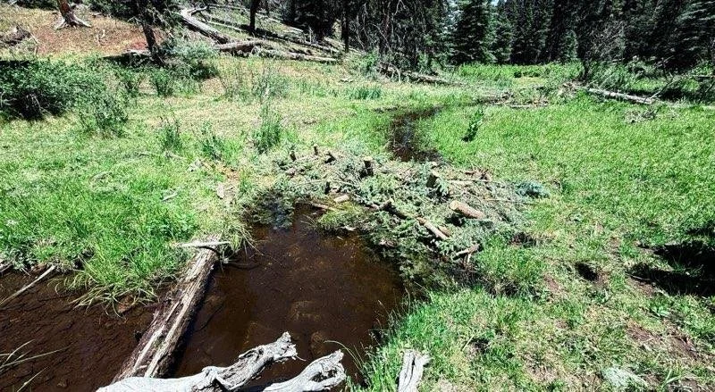
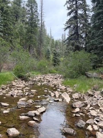
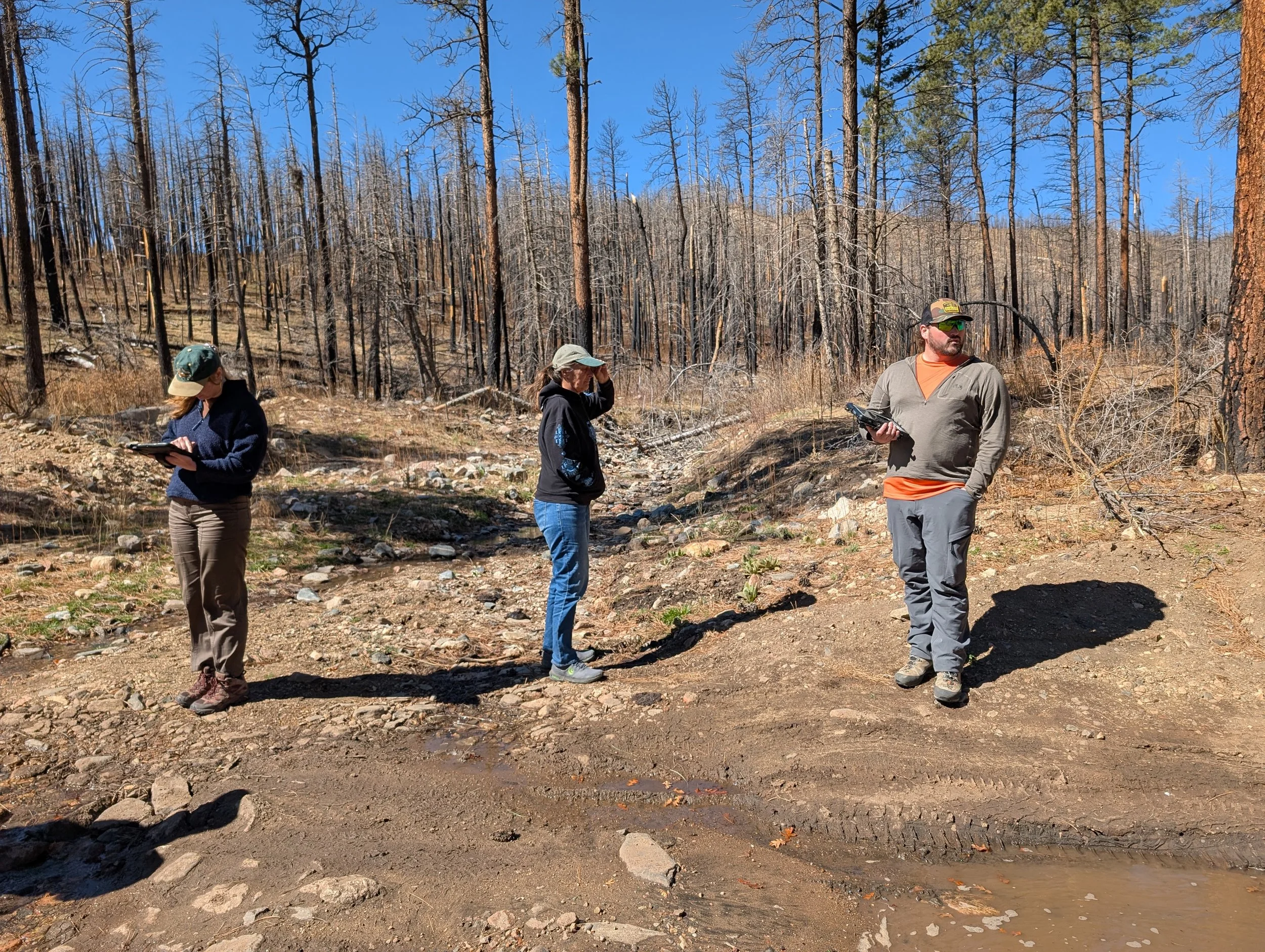
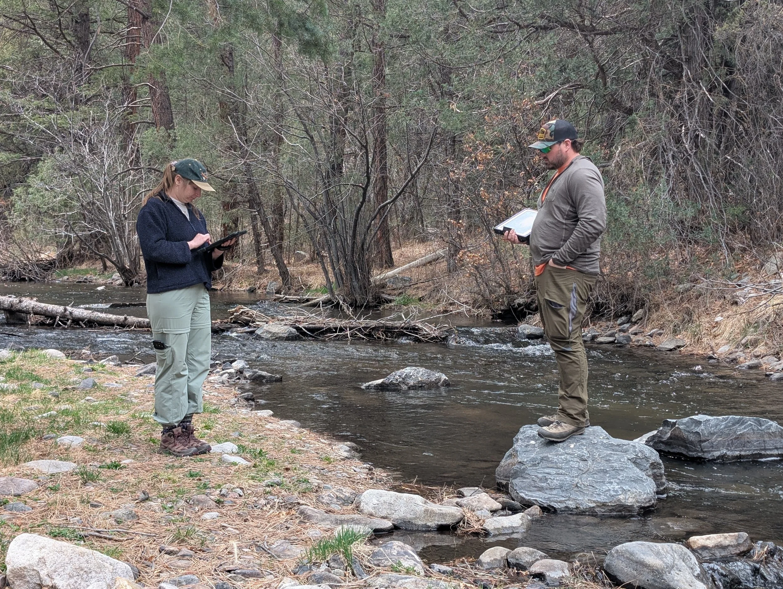
"We started out building BDAs, beaver dam analogs, but now we're working in the burn scar building rock and wood structures in the stream. It's been really cool getting experience with so many different restoration techniques that I had no idea were a thing. I'm kind of dreading coming home because I've loved this work so much." — Lola Schwinghamer
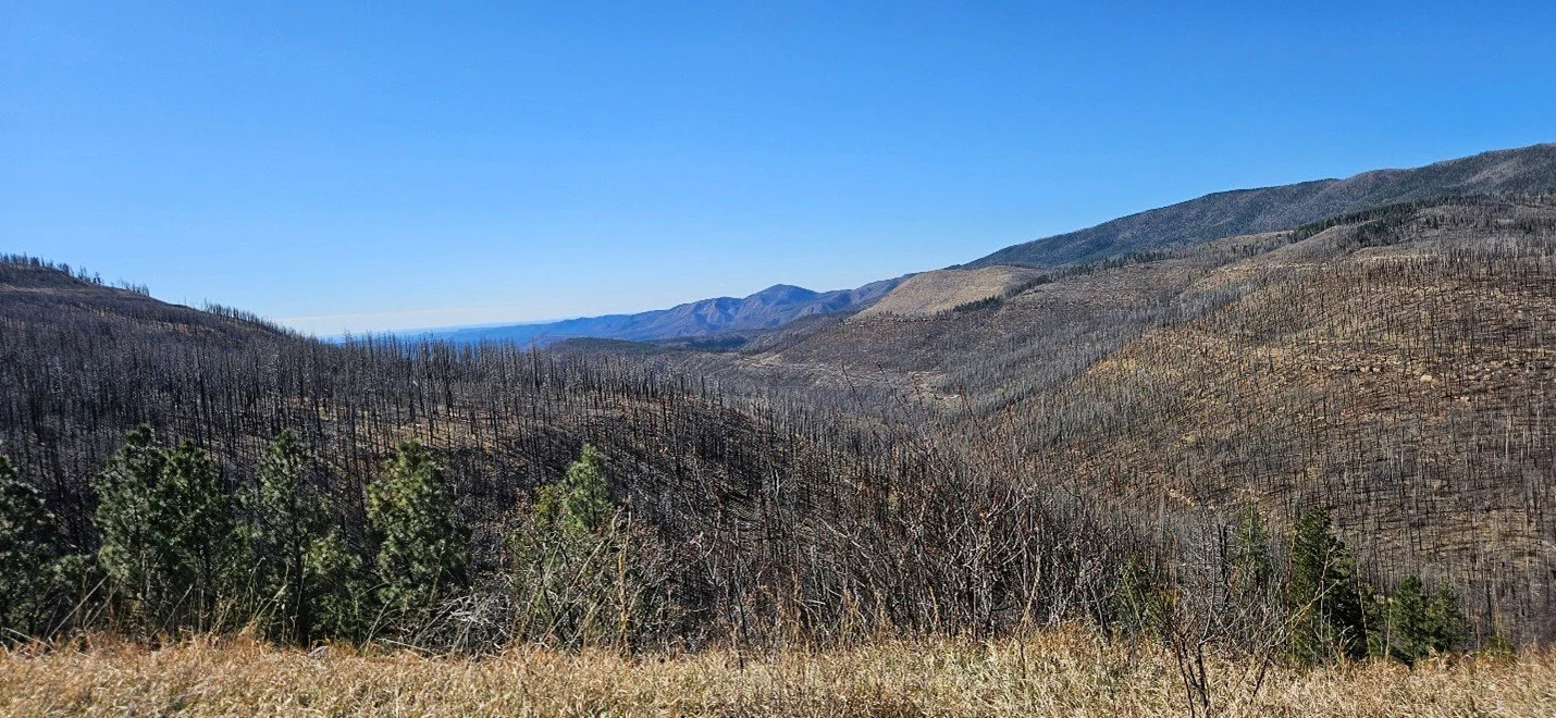
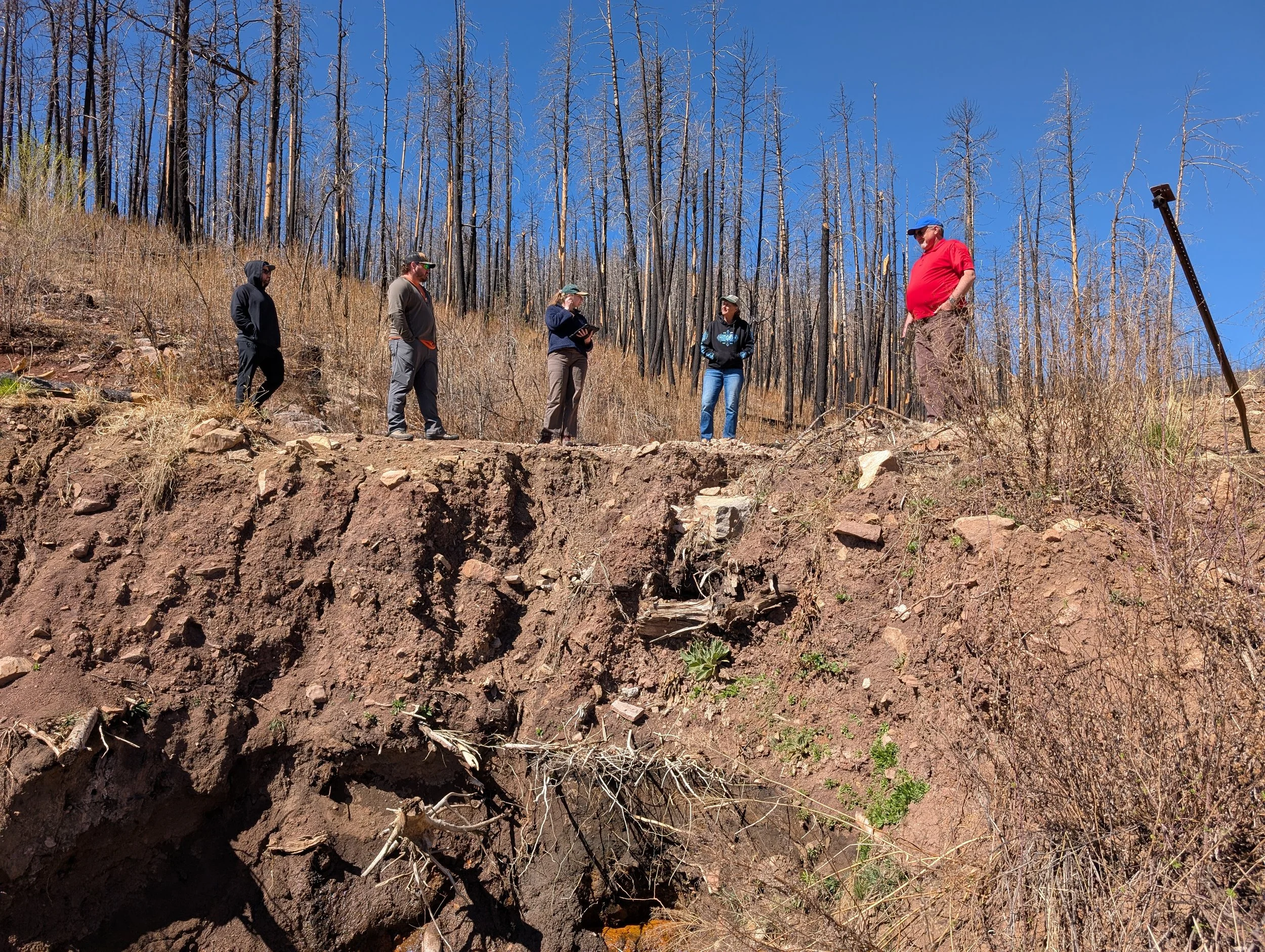
Her team’s recent efforts focus on wildfire recovery, utilizing low-tech, process-based structures to stabilize streams and invite life back into fire-damaged ecosystems. Lola notes she has learned immense amounts over the past months and is eager to bring these stories back to Winona!
Katherine Goergon – Kenai Watershed Forum (Alaska)
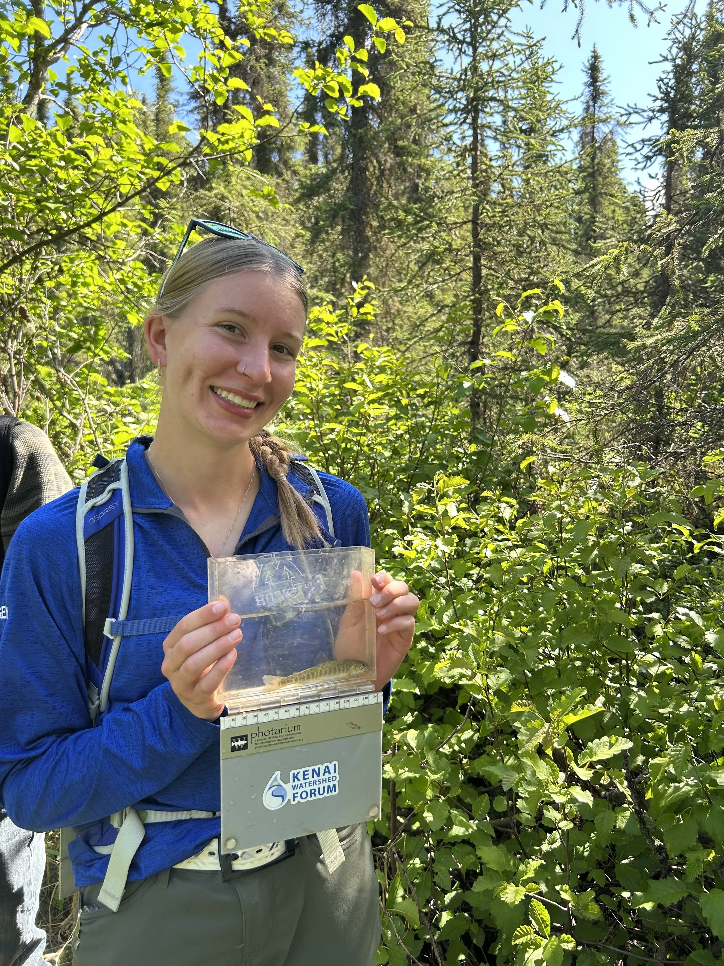
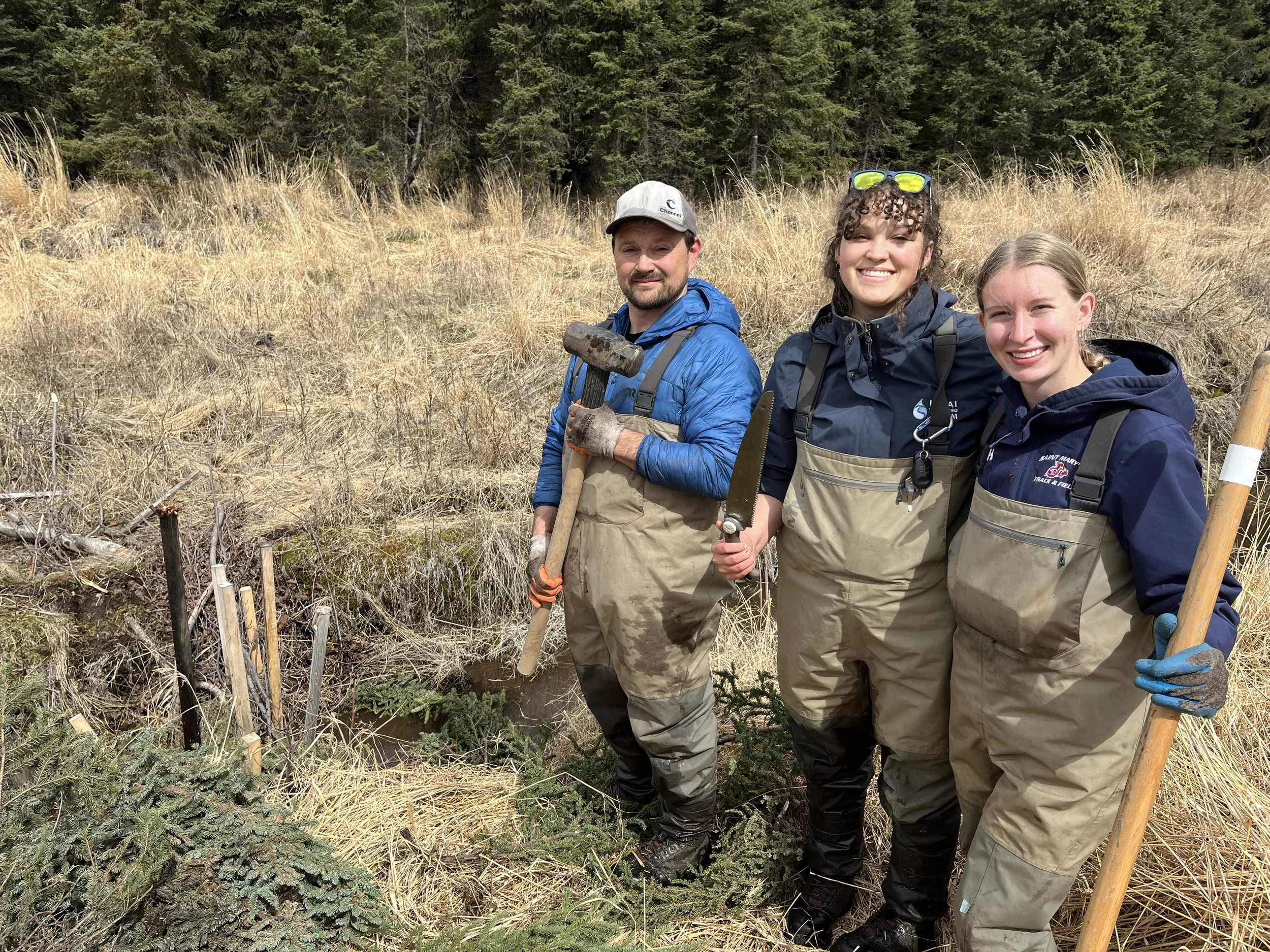
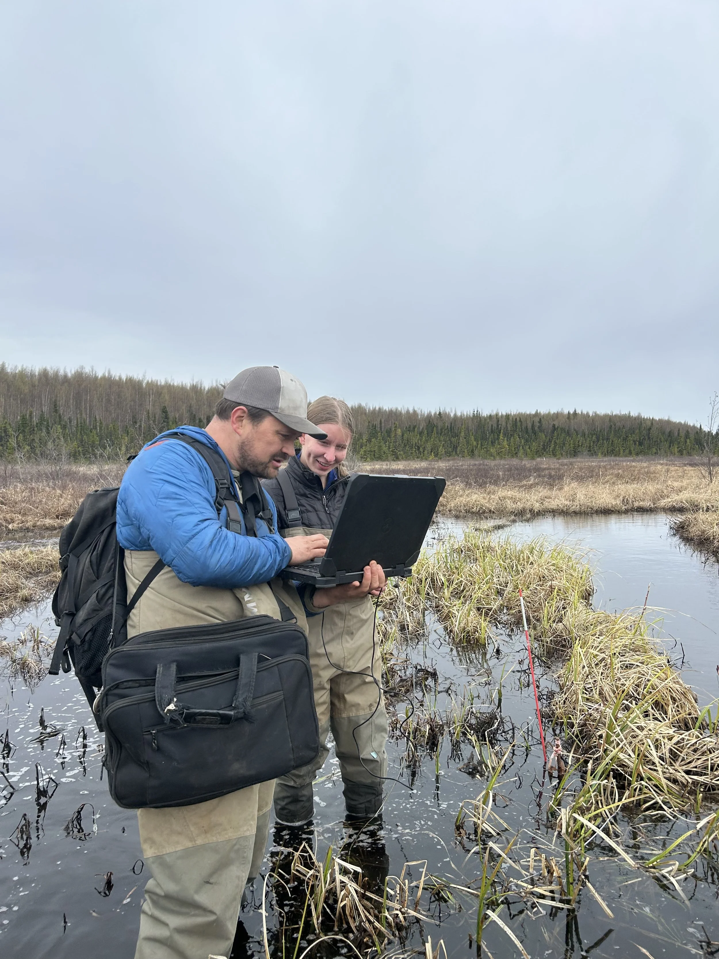
Katherine has wrapped up an incredible first month and a half on the Kenai Peninsula, marking a milestone as this is her very first internship! She reports that the local team has been exceptionally welcoming and patient as she masters brand-new field techniques.
"My first month and a half with the Kenai Watershed Forum has been filled with a variety of different experiences... I've been learning so much." — Katherine Goergon
Katherine's days have been a diverse mix of hands-on watershed science, including checking thermal stream loggers, hiking out to survey the Cooper Landing Bypass for invasive plants, and wading into wetlands to ground-truth anadromous (salmon) fish habitats. Later this month, she is gearing up for the highly anticipated Kenai River baseline water quality monitoring event.
Daniel Araoz – Kodiak Soil and Water Conservation District (Alaska)
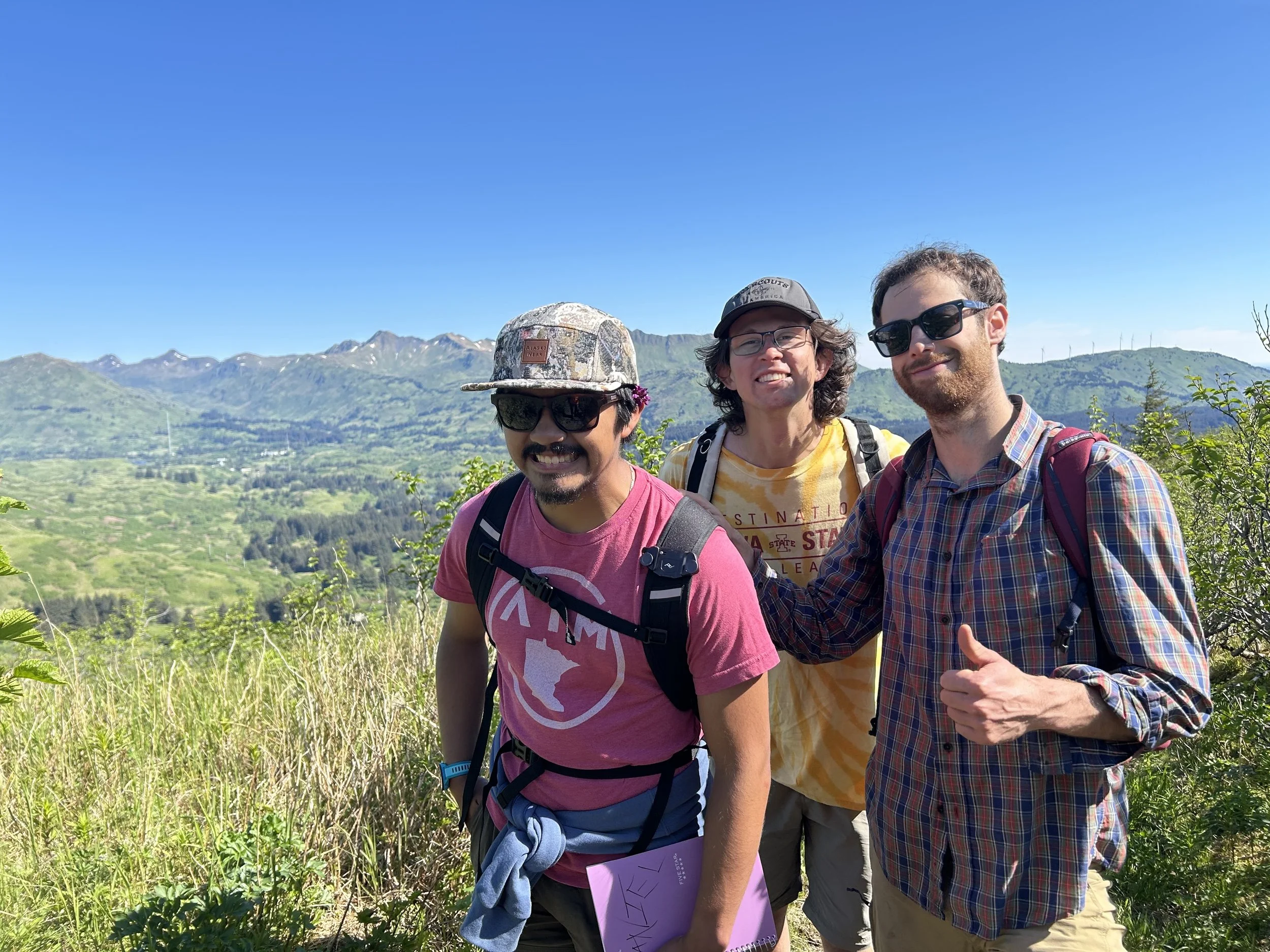
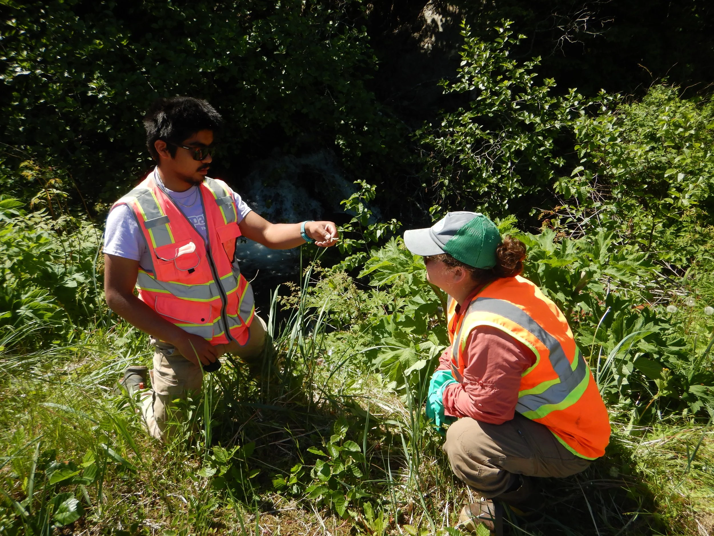
Further west on Kodiak Island, Daniel is fully immersed in the local ecology and community. He has been hitting the trails and ridges to assist with native vegetation surveys, invasive species management, and habitat assessments.
Whether he's trekking high into the mountains with his field crew to map environmental data or donning high-visibility gear to inspect and catalog plant species along local waterways, Daniel is getting a masterclass in island conservation. His updates show a team that is working hard, staying smiling, and deeply committed to protecting Alaska’s unique natural resources.
📍 Updates from Around the Regions
While the Wi-Fi is a bit harder to come by for our final crew member, we are happy to report that things are moving along beautifully:
Alexus Vang is on location with the University of Montana O'Connor Center. Because Alexus is embarking on longer, multi-day field hitches deep in the Rocky Mountains, getting regular updates is a challenge—but word from the field is that everything is going exceptionally well as she pushes forward with regional natural history data collection and ecological monitoring.
A Sincere Thank You to Our Benefactors
These immersive, career-defining experiences are only possible because of your generous financial support. By funding these paid field internships, you aren't just supporting summer employment; you are directly investing in the next generation of environmental scientists.
As Lola, Katherine, and Daniel’s experiences demonstrate, getting students out of the lab and onto the frontlines of real conservation builds a practical confidence that no textbook can match. Our industry partners gain enthusiastic, high-caliber support, and our students return to GSS as stronger, more capable leaders.
We will continue to share deep-dive spotlights and field photos as our crew temporarily trades their muddy boots for keyboards later this season. Stay tuned!
To learn more about how student internships bridge the gap between data and real-world conservation, visit us at www.geospatialservices.org.
GSS Travels to Upstate New York
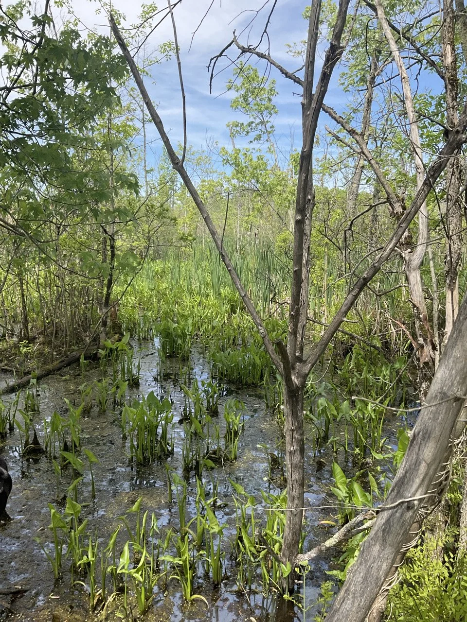
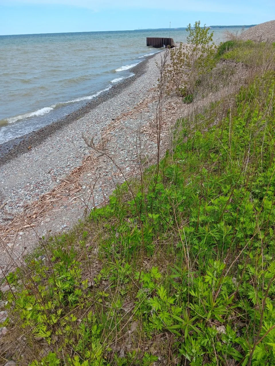
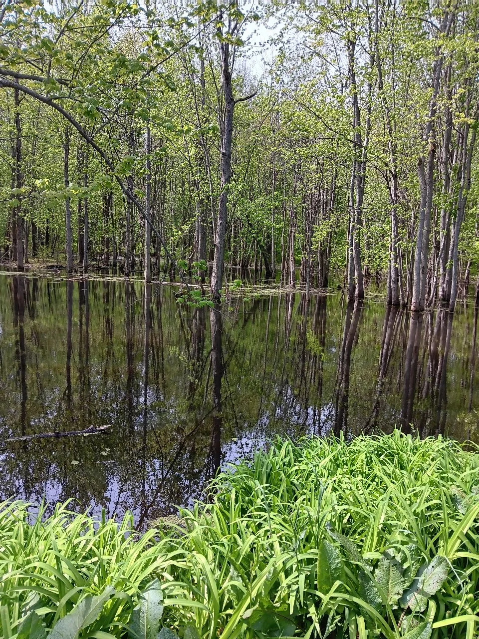
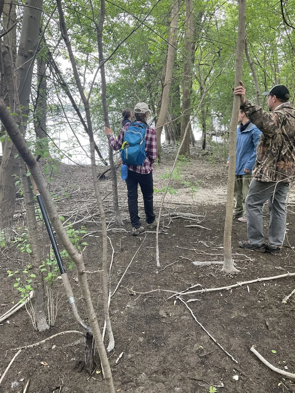
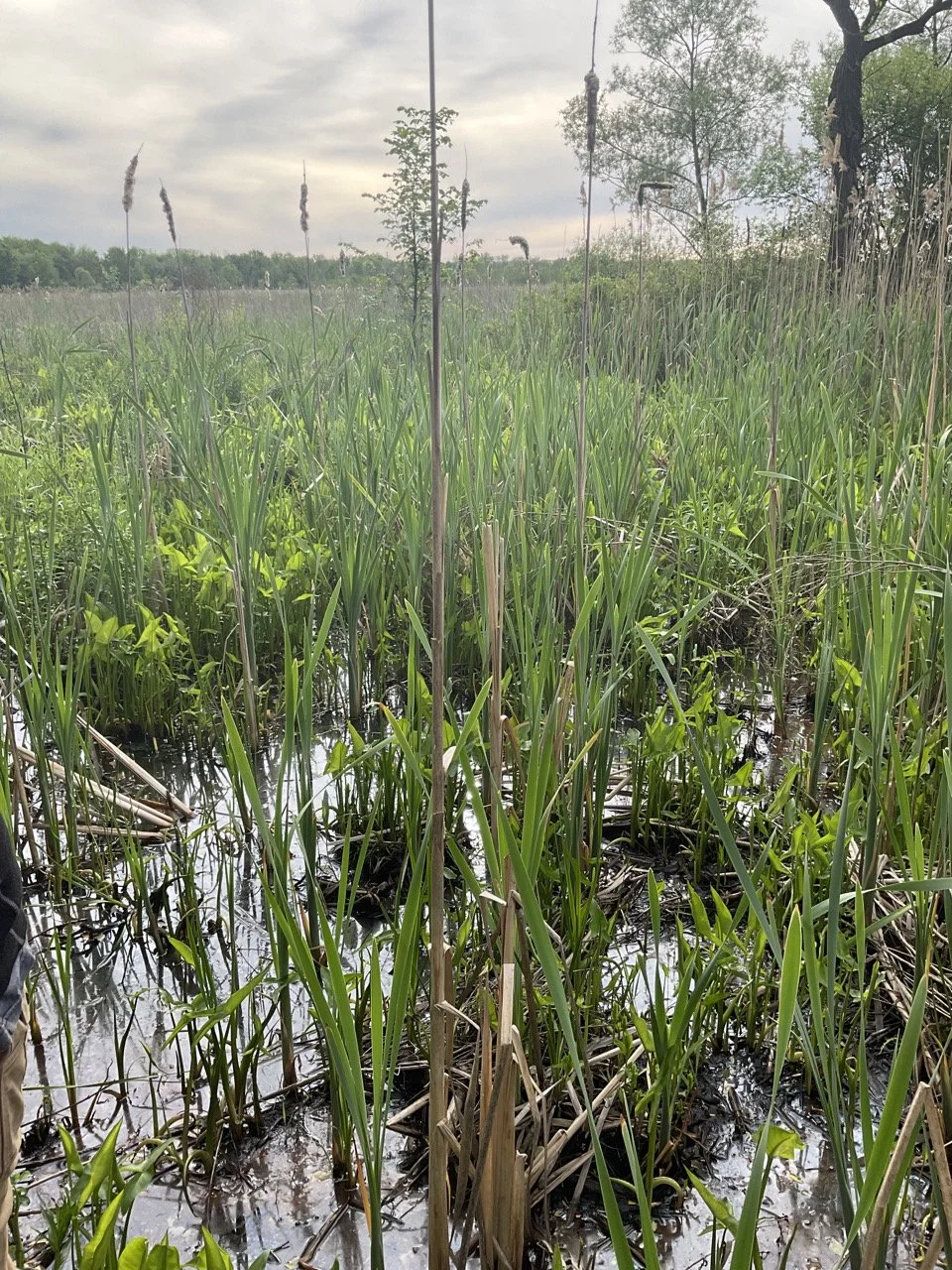
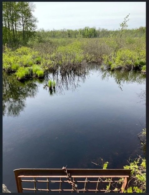
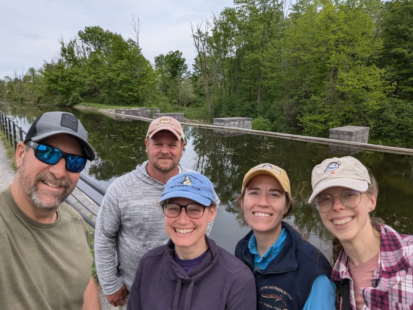
From May 20th – May 22nd, GSS staff members Kevin Stark and Nick Lemcke spent time ground-truthing wetland mapping as part of a current NWI update. GSS was joined in the field by NWI staff members Amanda Pachomski, Lauren Healey, and Whitney Kroschel. The study area is located south of Lake Ontario and is within the corridor between Rochester and Syracuse, NY. The landscape is a direct result of glaciation and includes flat to gently undulating lake plains, dissected drumlin fields, and deeply incised ‘finger lakes’ to the south. During the trip, GSS examined multiple different wetlands including: open water features, river floodplains, emergent marshes and meadows, forested and scrub shrub swamps, and saturated forested and scrub shrub wetland communities.
From the Campus to the Field: GSS Interns Head West and North for Summer 2026
At GeoSpatial Services (GSS), our mission extends far beyond the computer screen. While data and mapping are the foundation of what we do, the true heart of conservation happens on the ground—in the rivers, forests, and wetlands that sustain our communities.
This summer, we are proud to send four of our GSS interns—Alexus Vang, Lola Schwinghamer, Katherine Goergon, and Daniel Araoz—into the field. Supported by the generosity of our GSS benefactors, these students will be working directly with industry partners to conduct vital environmental research and restoration work.
Meet the Field Crew
Lola Schwinghamer – Rio Grande Return Lola is heading to the arid Southwest to work with Rio Grande Return. Building on her previous experience in Alaska, Lola will now trade the tundra for the riverbanks of New Mexico. She will be assisting in low-tech, process-based restoration efforts to foster resilience in the unique ecosystems of the Rio Grande.
Daniel Araoz – Kodiak Soil and Water Conservation District Daniel is off to the rugged landscapes of Kodiak Island, Alaska. Following in the footsteps of past GSS interns like Leah Ramsey, Daniel’s work will be heavily field-based. He will support local conservation efforts, which often include invasive species management, soil health studies, and restoring fish passages for salmon habitat.
Alexus Vang – University of Montana O'Connor Center Alexus will spend her summer in the heart of the Rocky Mountains. Working through the O'Connor Center for the Rocky Mountain West, she will contribute to field-based monitoring and natural history data collection. Her work helps regional stakeholders understand the complex challenges facing the "headwaters" of North America.
Katherine Goergon – Kenai Watershed Forum Katherine is also heading North to Alaska’s Kenai Peninsula. She will be on the front lines of watershed science, assisting with water quality monitoring, stream temperature logging, and hands-on restoration projects designed to protect the region’s world-famous salmon runs.
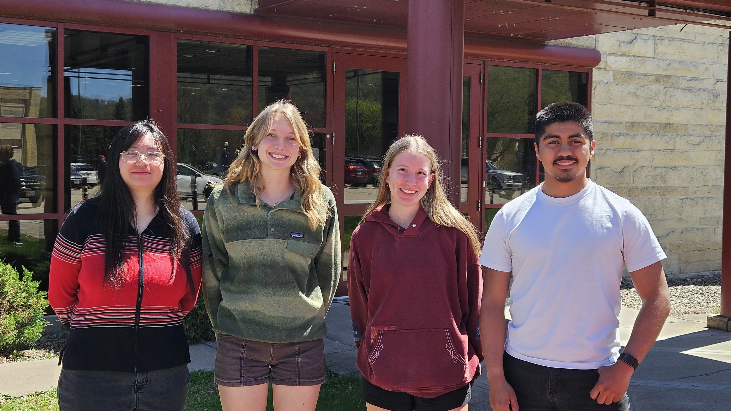
GSS Partner Interns: Alexus Vang (WSU), Lola Schwinghamer (SMU), Katherine Goergon (SMU), & Daniel Araoz (SMU)
The Power of Field Experience
These internships represent a critical bridge between academic learning and professional practice. By getting their boots muddy and working side-by-side with seasoned conservationists, our students gain a deep, practical understanding of the environments they spend the rest of the year mapping.
We are incredibly grateful to our generous benefactors whose support makes these paid internships possible. Their investment allows Alexus, Lola, Katherine, and Daniel to travel across the country, gain invaluable field skills, and make a real difference for our industry partners.
Safe travels to our interns—we look forward to hearing your stories from the field!
To stay updated on our interns' summer adventures and learn more about our work, visit www.geospatialservices.org.
From Burn Scars to Roundtables: GSS Returns to New Mexico
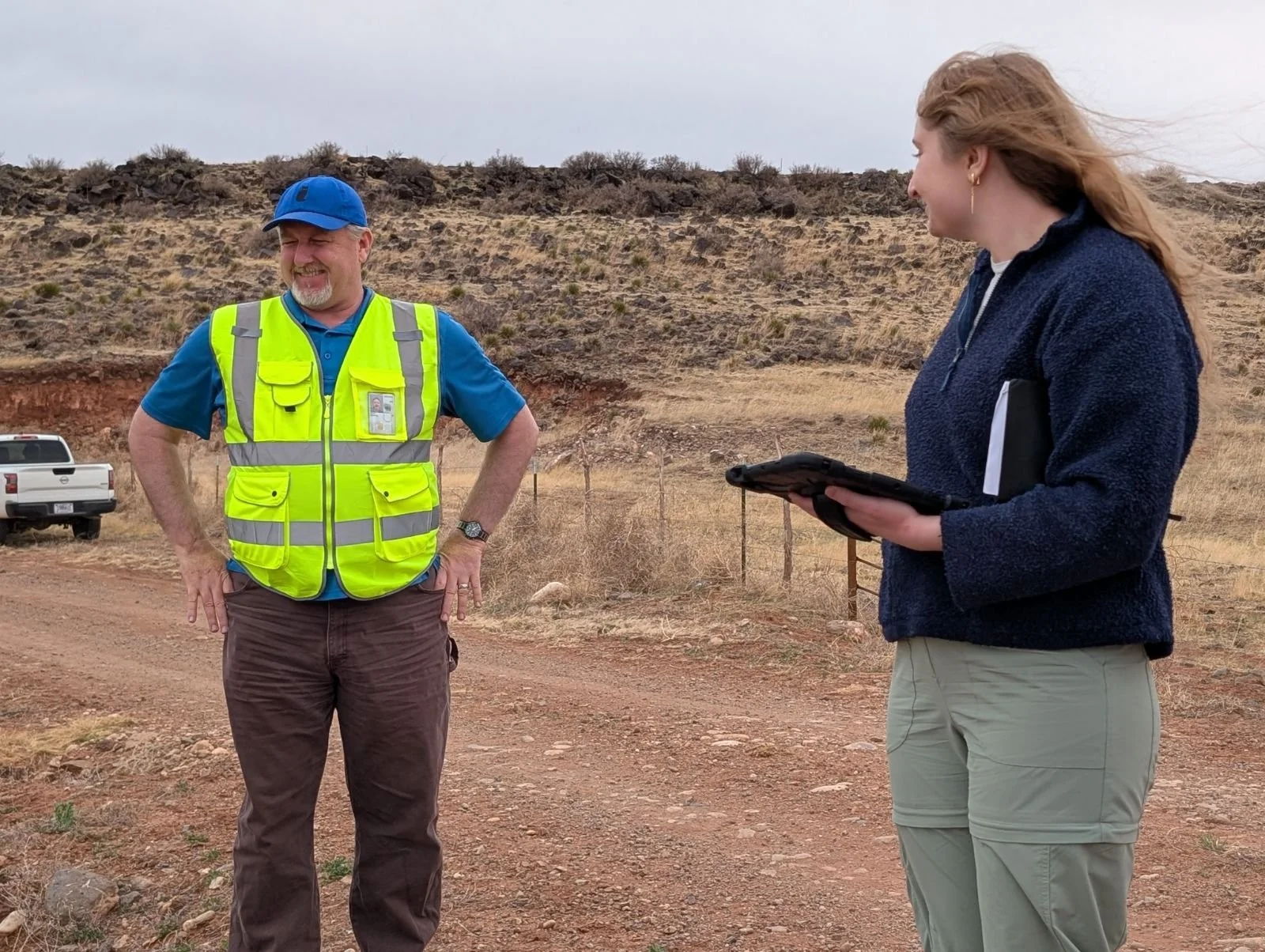
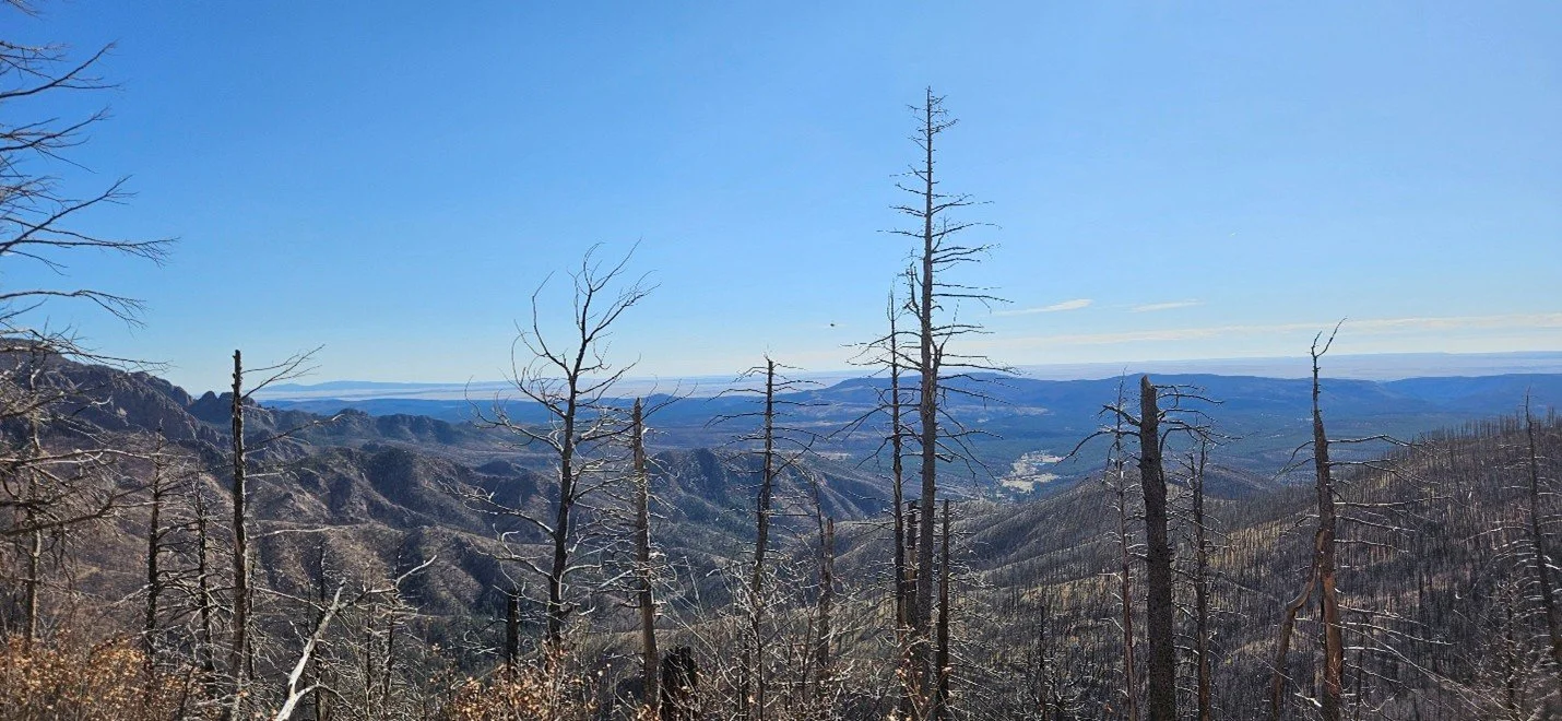
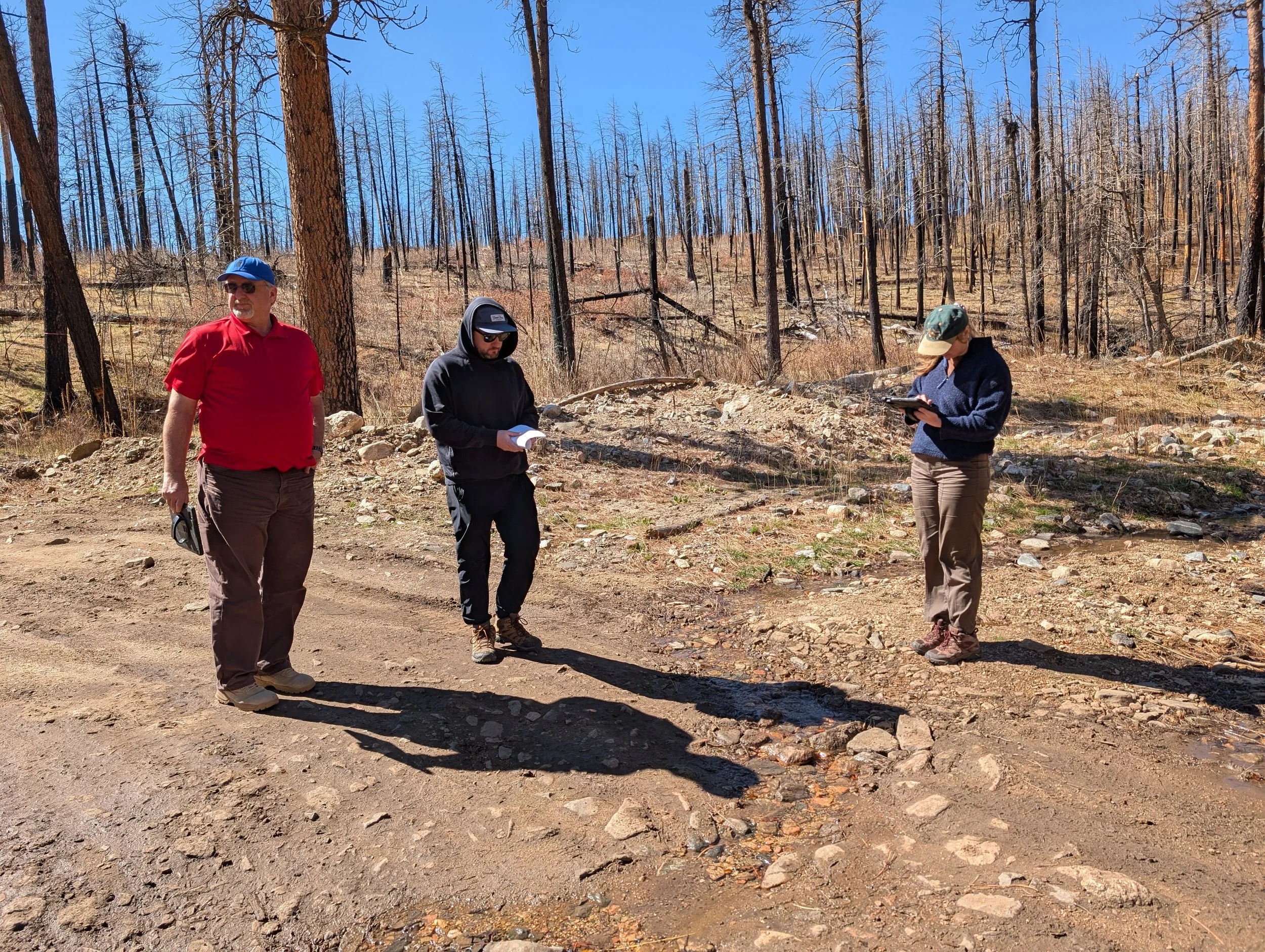
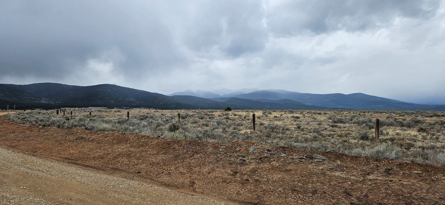
New Mexico’s diverse landscapes recently provided the backdrop for a productive week of field verification and collaborative partnership. In April, a three-person team, Andy Robertson, Zack Ansell, and Kaylee McFarland, from Geospatial Services (GSS) returned to the Land of Enchantment for six days of intensive fieldwork and high-level strategy meetings with the New Mexico Environment Department.
The mission was twofold: to observe the environmental evolution of the Hermits Peak/Calf Canyon burn scar and to strengthen our ties with local stakeholders. Based out of Las Vegas, NM, our team focused heavily on the Mora area, examining how recent fires have drastically altered surrounding wetland ecosystems. Our field surveys also took us as far north as the Maxwell Wildlife Refuge in Colfax and south to the capital in Santa Fe.
Beyond the field, GSS played a central role in several key gatherings:
The Wetland Roundtable: We joined over 50 hybrid and in-person attendees to discuss the future of the state’s water resources.
TAC Meeting: Hosted at New Mexico Highlands University, GSS Executive Director Andy Robertson presented to 20 representatives from various organizations on our past, current, and future mapping initiatives in the state.
The events were held at New Mexico Highlands University.
Hands-on Training: A highlight of the trip was leading 17 partners on a local field excursion, where we demonstrated the GSS methodology for wetland mapping and field verification in real-time.
These face-to-face interactions remain vital to our work, ensuring that our data-driven maps translate into real-world conservation impact.
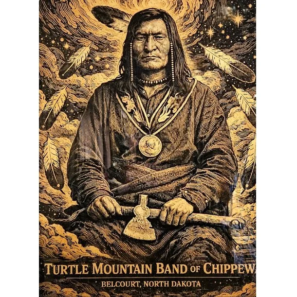
Turtle Mountain Band of Chippewa Indians (TMBCI)
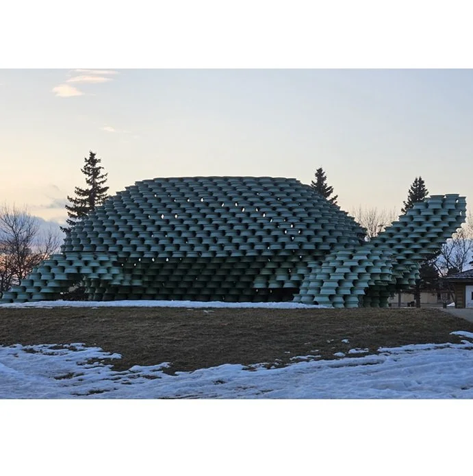
Andy Robertson, Executive Director of GeoSpatial Services, recently joined Donna Jacob and Kiah Sagami of Houston Engineering (HEI) to present the final results of a multi-year wetland mapping project for the Turtle Mountain Band of Chippewa Indians (TMBCI).
The presentation focused on the completion of Part 1 of the TMBCI Wetland Program Plan (WPP). This project, supported by an EPA Wetlands Program Development Grant, provides the Tribe with updated geospatial data necessary for informed water resource management and long-term environmental planning.
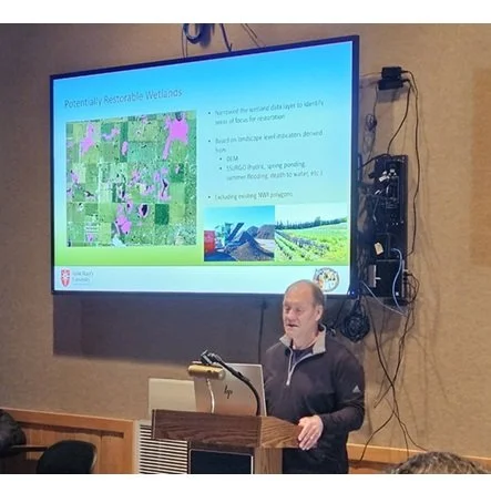
Andy Robertson Speaking at the TMBCI project wrap-up.
Key project deliverables included:
Updated National Wetland Inventory (NWI): A comprehensive re-mapping of wetlands and surface waters within the reservation using current high-resolution imagery.
Hydro-Modified Digital Elevation Models (DEM): Development of an elevation-derived stream network to better understand surface water connectivity and drainage basins.
Functional Assessments: The application of NWIPlus descriptors to characterize the ecological functions of mapped wetlands.
This collaborative effort between GSS, Houston Engineering, and the TMBCI Environmental Office establishes a technical foundation for the Tribe to monitor wetland health and prioritize future restoration efforts.
Fieldwork Update: Mapping Kansas City’s Wetlands
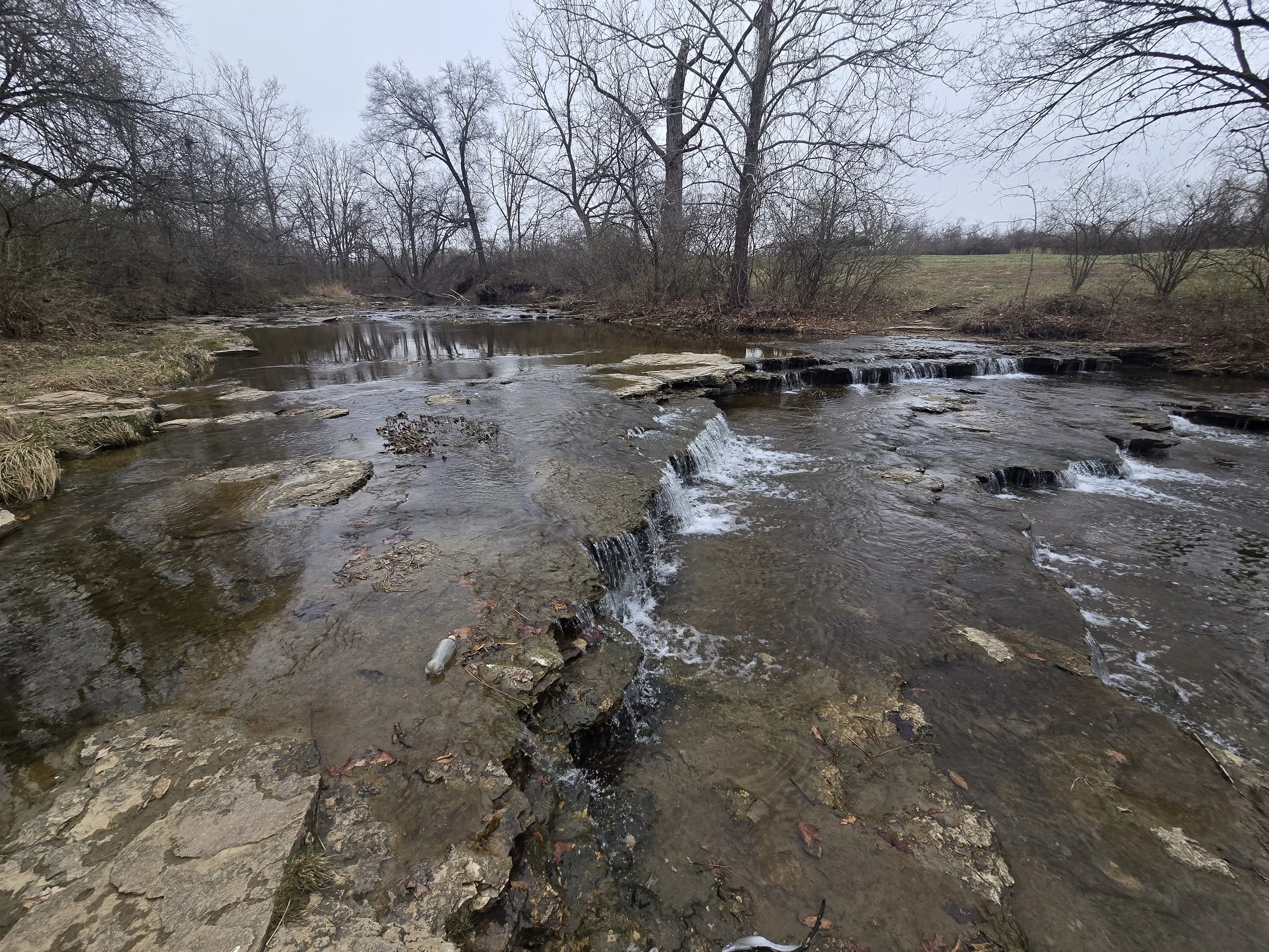
This past week, March 14–18, our team at Geospatial Services (GSS) completed critical fieldwork in Kansas City, MO, as part of the KCMO Wetlands Mapping and Classification project.
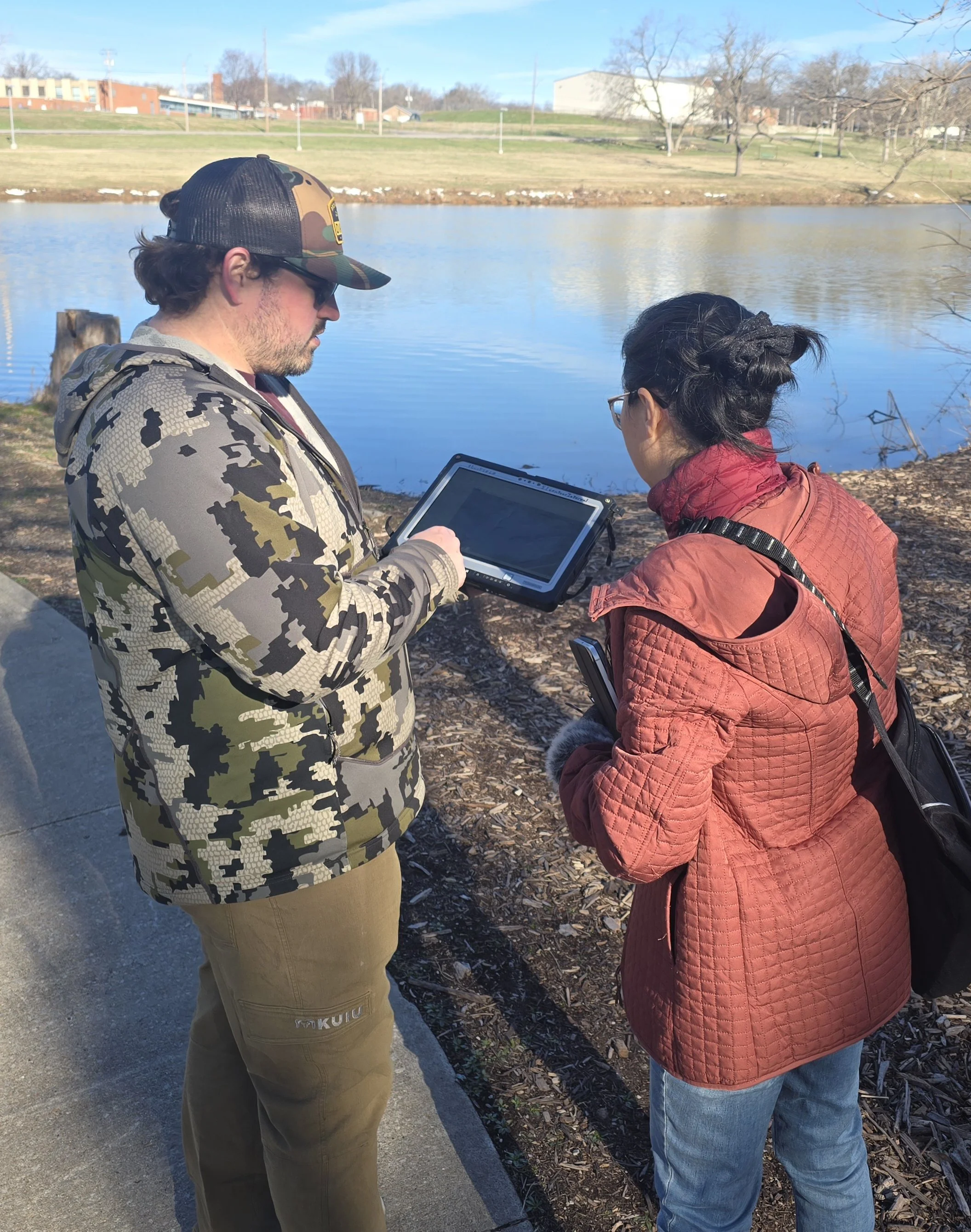
Senior GIS Analyst Kevin Stark and Lead GIS Analyst Zack Ansell led the effort to verify remote sensing data and ensure the accuracy of the city’s updated wetlands inventory.
A Collaborative Effort
The fieldwork was a multi-agency collaboration. The GSS team was joined by:
Jing Tao, PhD, Environmental Manager at KC Water and the overall Project Manager.
Frank Nelson, Wetland Coordinator for Statewide Resource Management at the Missouri Department of Conservation.
Staff from KC Water and other partnering organizations.
The Mission: Ground-Truthing
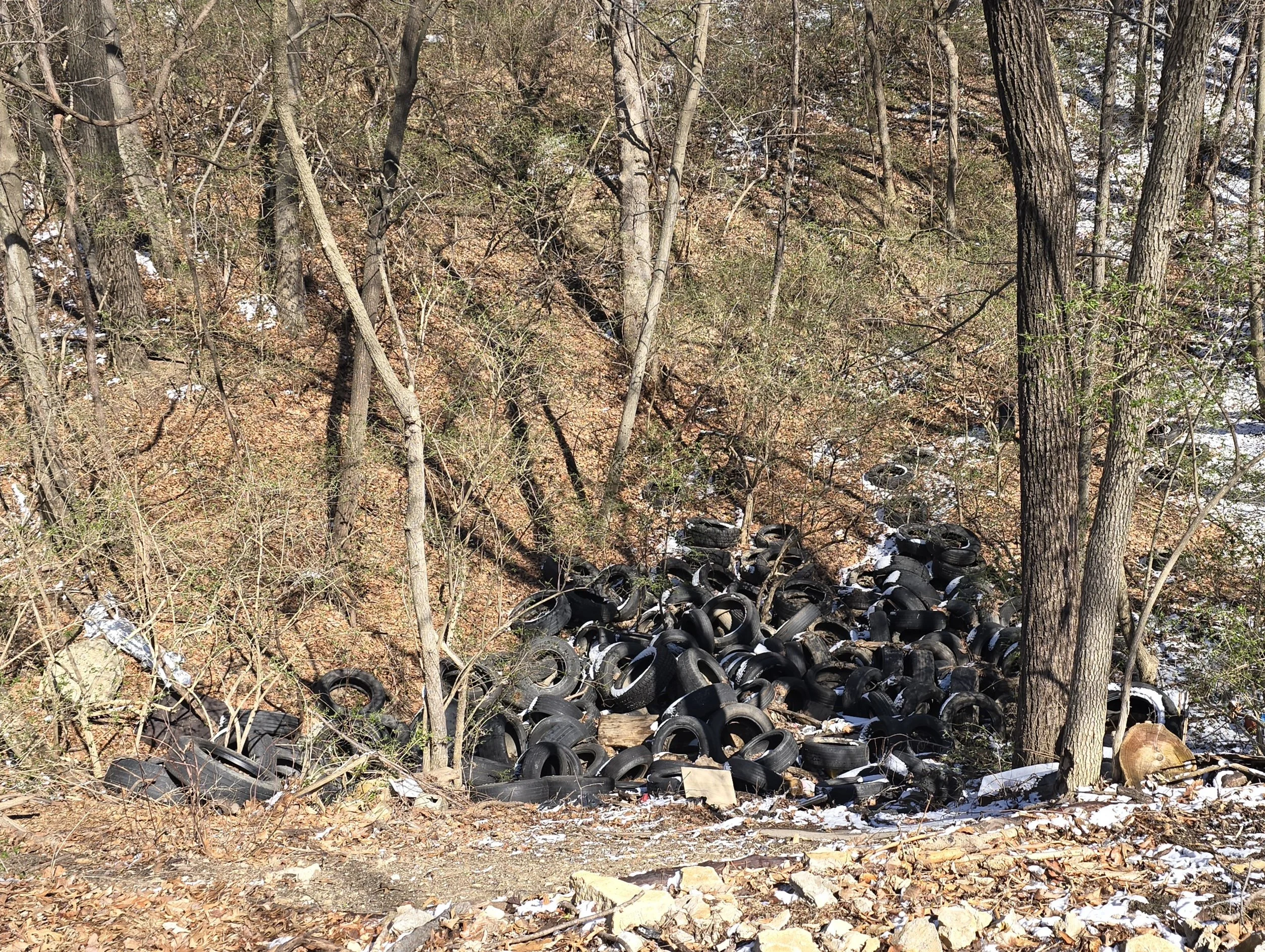
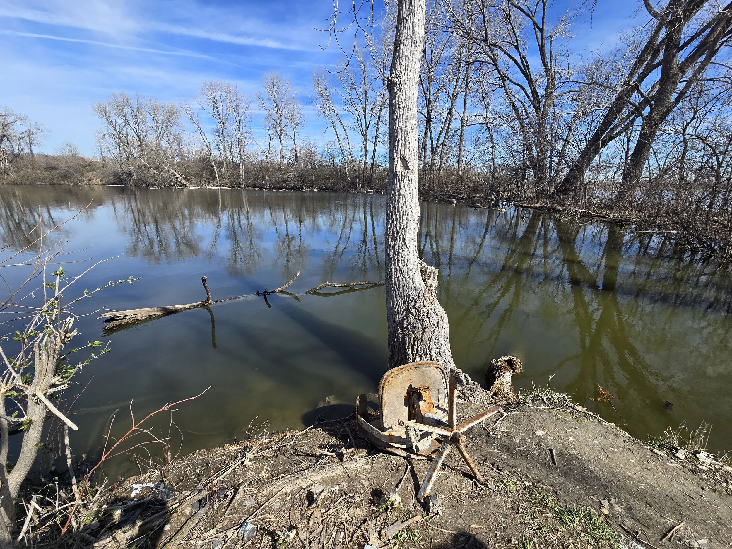
The team conducted "ground-truthing" across the 230,000-acre project area to verify preliminary mapping derived from high-resolution aerial imagery. Key activities included:
Site Verification: Visiting 60–100 "check sites" to correlate image signatures with real-world wetland and upland conditions.
Riparian Assessment: Testing the Western Riparian Classification system on Midwestern forest types to identify unique ecosystems that are ecologically significant but may not meet standard wetland criteria.
Data Collection:
Recording GPS locations, site photographs, and documenting soil, vegetation, and hydrologic conditions.
Impact:
Funded by a US EPA Wetland Program Development Grant, this project provides a vital tool for managing Kansas City’s resources. The final geodatabase will support water quality monitoring, identify high-potential restoration sites, and help the city protect its wetlands amid ongoing development.
GSS Attends Alaska Wetlands Mapping Workshop in Anchorage
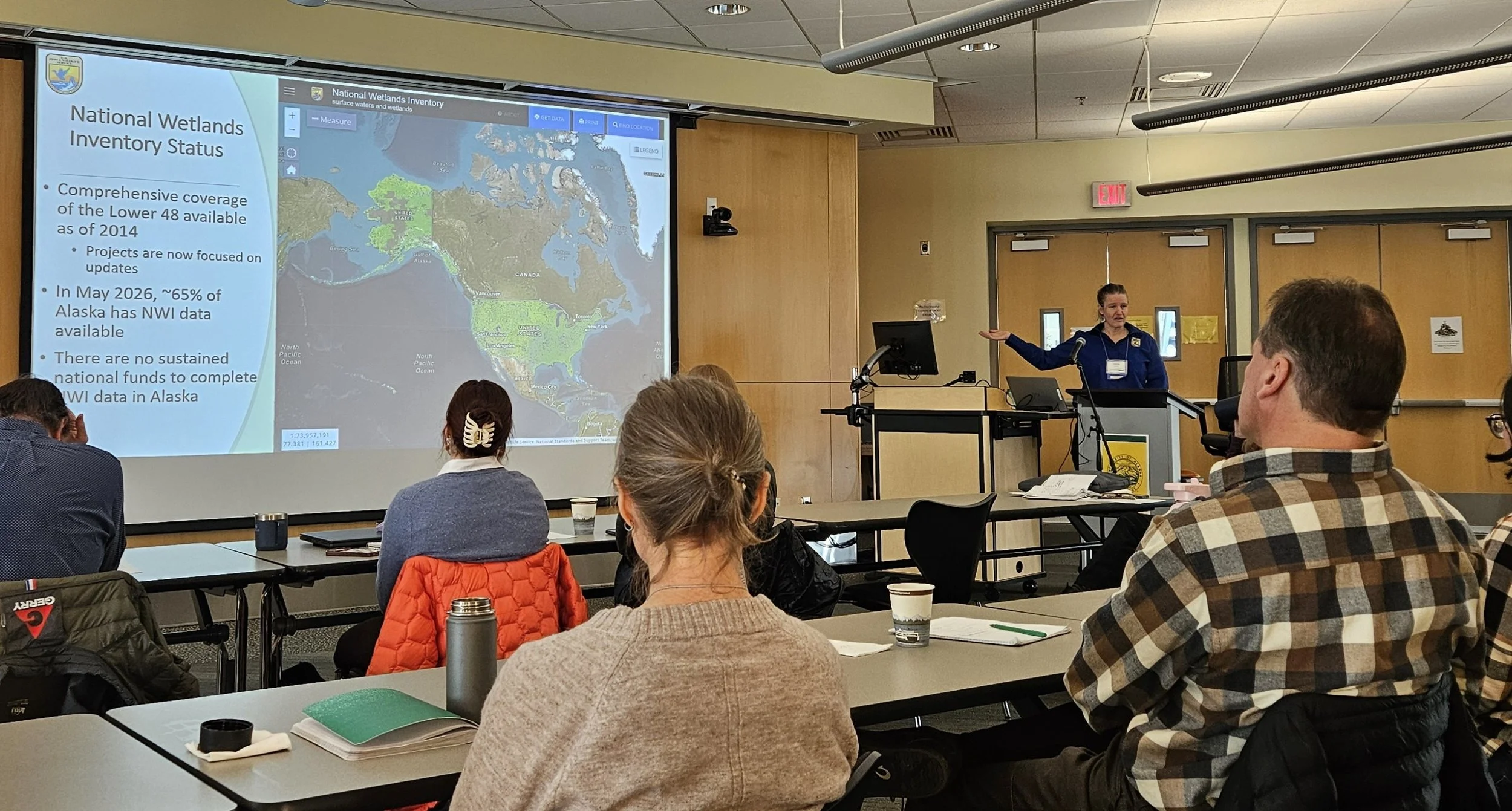
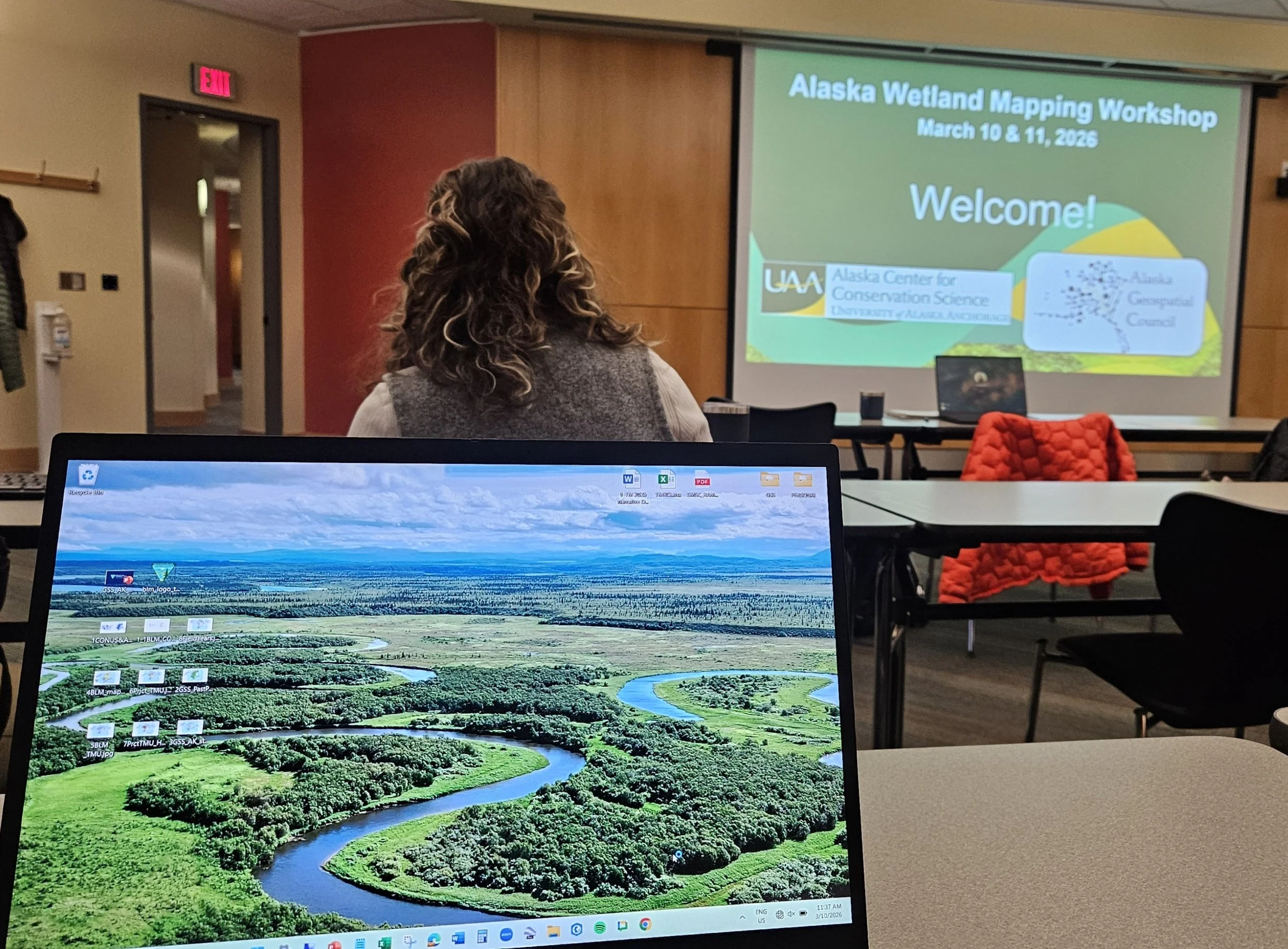
Last week, GSS Executive Director Andy Robertson and GIS Project Manager Eric Lindquist traveled to Anchorage, Alaska, to participate in the Alaska Wetlands Mapping Workshop. Held at the University of Alaska Anchorage Consortium Library on March 10–11, 2026, the event brought together a diverse group of data scientists, wetland ecologists, and resource managers from across North America.
Hosted by the Alaska Geospatial Council (AGC) Wetlands Technical Working Group, the workshop focused on the "state of the science" regarding how wetlands geospatial data is currently produced, maintained, and used. For Andy and Eric, the trip was a return to familiar territory; both have extensive experience managing National Wetland Inventory (NWI) and National Hydrography Dataset (NHD) updates across the state.
Defining the Future of Alaska’s Data
The workshop’s vision was to define a path forward for Alaska’s wetlands data—aiming to make it more accessible, integrated, and "analytic-ready" for end users. Highlights from the agenda included:
Strategic Overviews: Presentations from the Alaska Geospatial Office and the U.S. Fish and Wildlife Service on current mapping production.
Emerging Technologies: Technical sessions on GeoAI workflows, machine learning methods, and semi-automated mapping techniques.
Strategic Planning: An afternoon session dedicated to developing recommendations for the next Wetlands Technical Working Group Strategic Plan.
A Collaborative Effort
The event also served as a valuable networking opportunity, featuring "lightning talks" and breakout sessions where practitioners shared updates on their latest work. As long-time partners of the USFWS and former chairs within the AGC, Andy and Eric contributed GSS’s expertise in advancing mapping techniques through elevation-derived products and hydrologic modeling.
The insights gained from this workshop will help guide coordinated investment and stewardship of wetlands data statewide, ensuring that Alaska remains at the forefront of geospatial innovation.
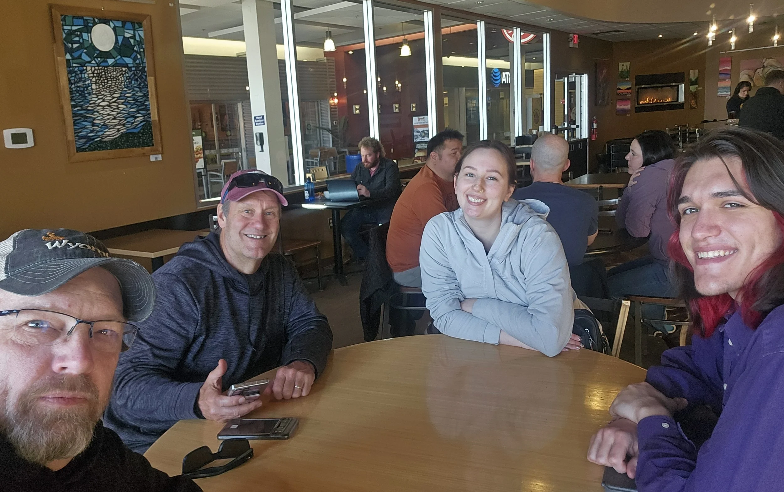
Following the workshop, Andy and Eric spent the remainder of the week meeting with key regional partners, including Bristol Bay Native Corporation, the Kenai Watershed Forum and the Alaska National Parks System. These discussions focused on ongoing collaboration and specialized mapping needs to support local resource management and conservation efforts. Along with meeting partners the two met with current GSS Staff in Anchorage, Larissa Kramer and applicant Sander Johnson.
GSS Staff Head to Pacific Northwest
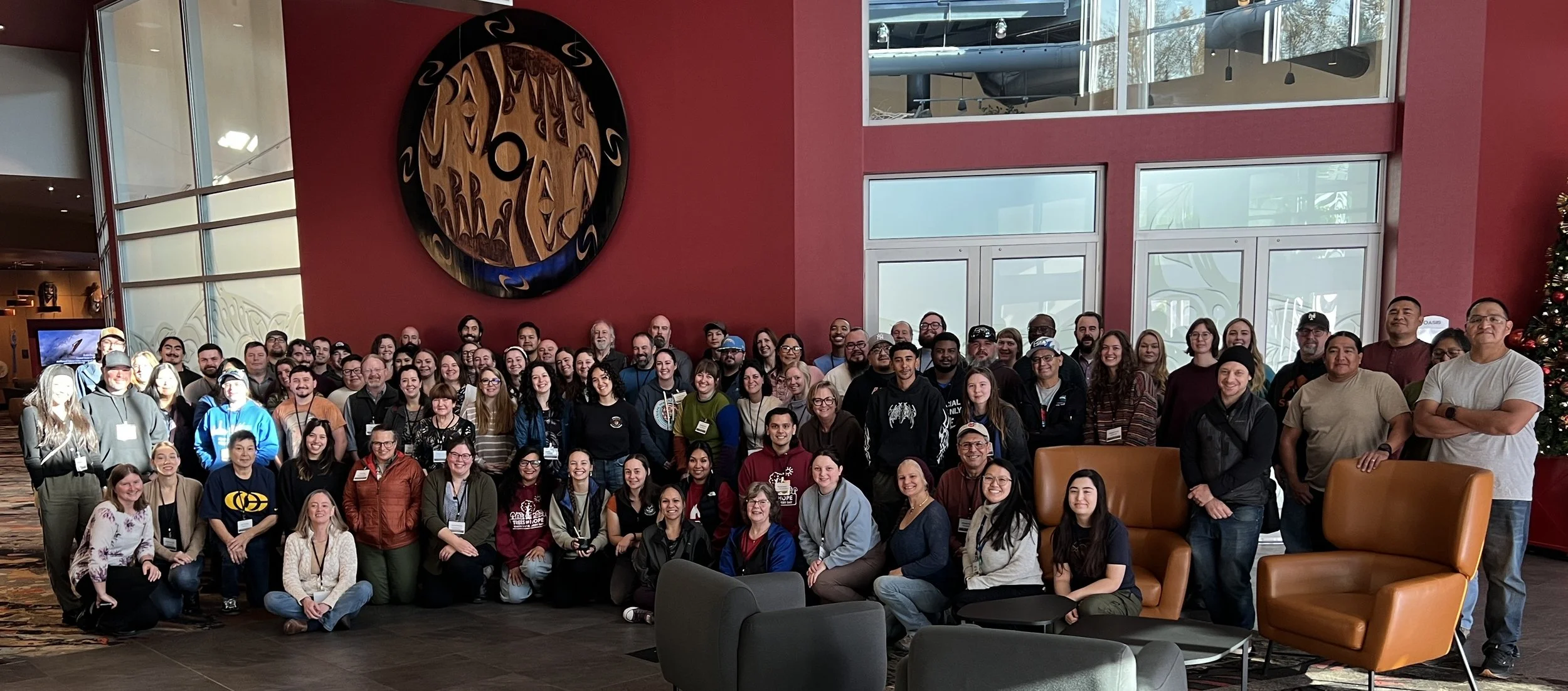
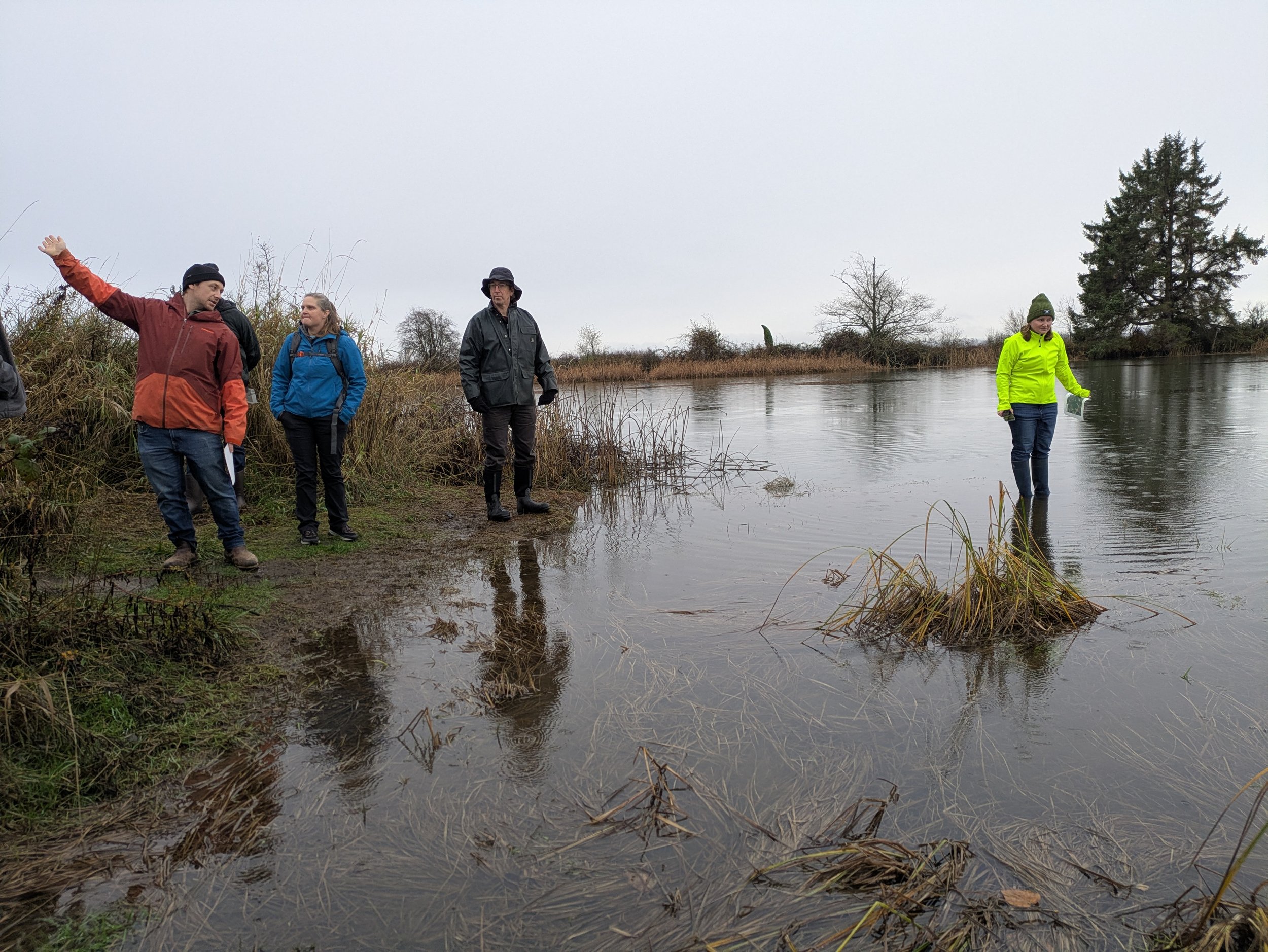
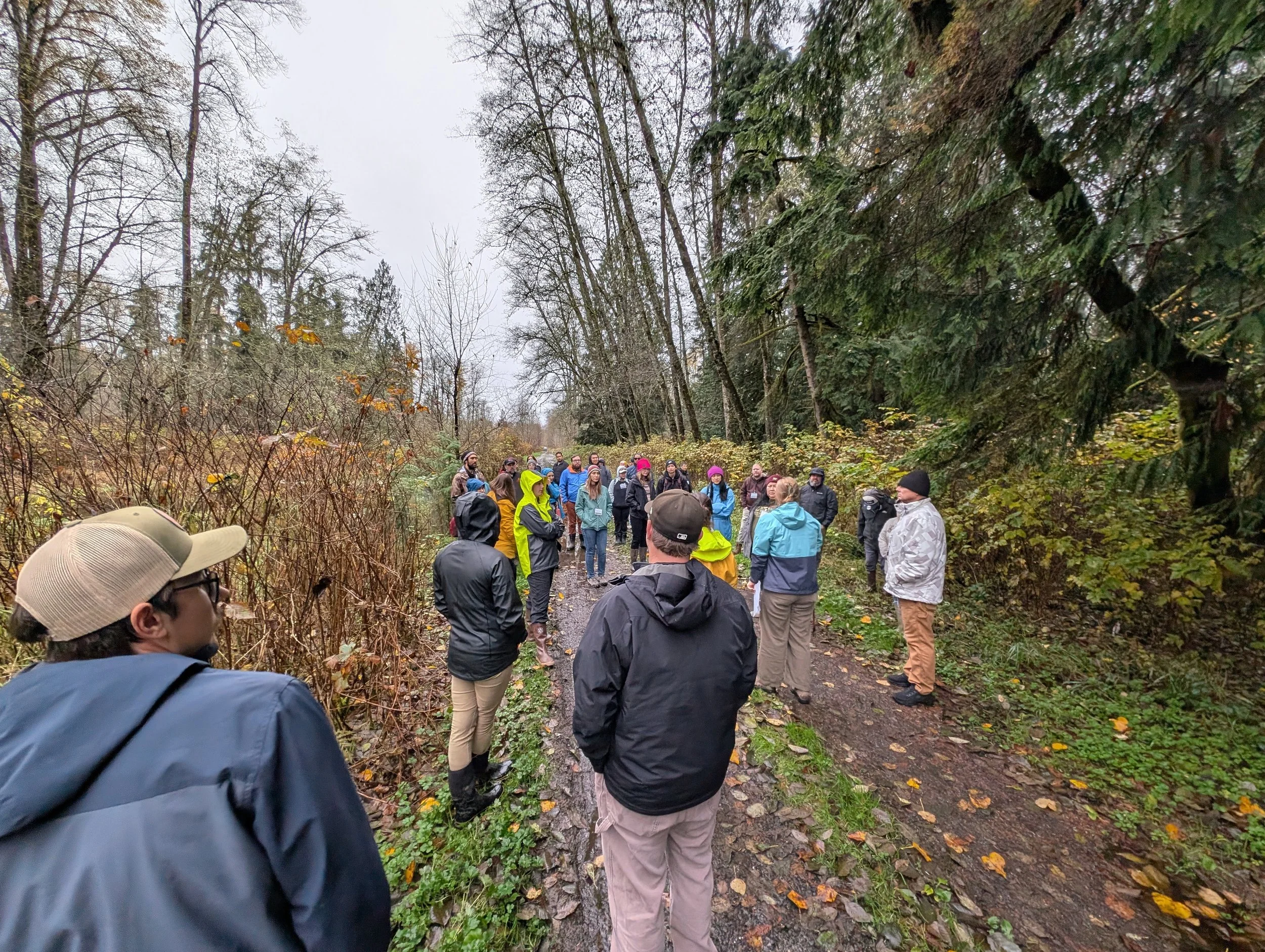
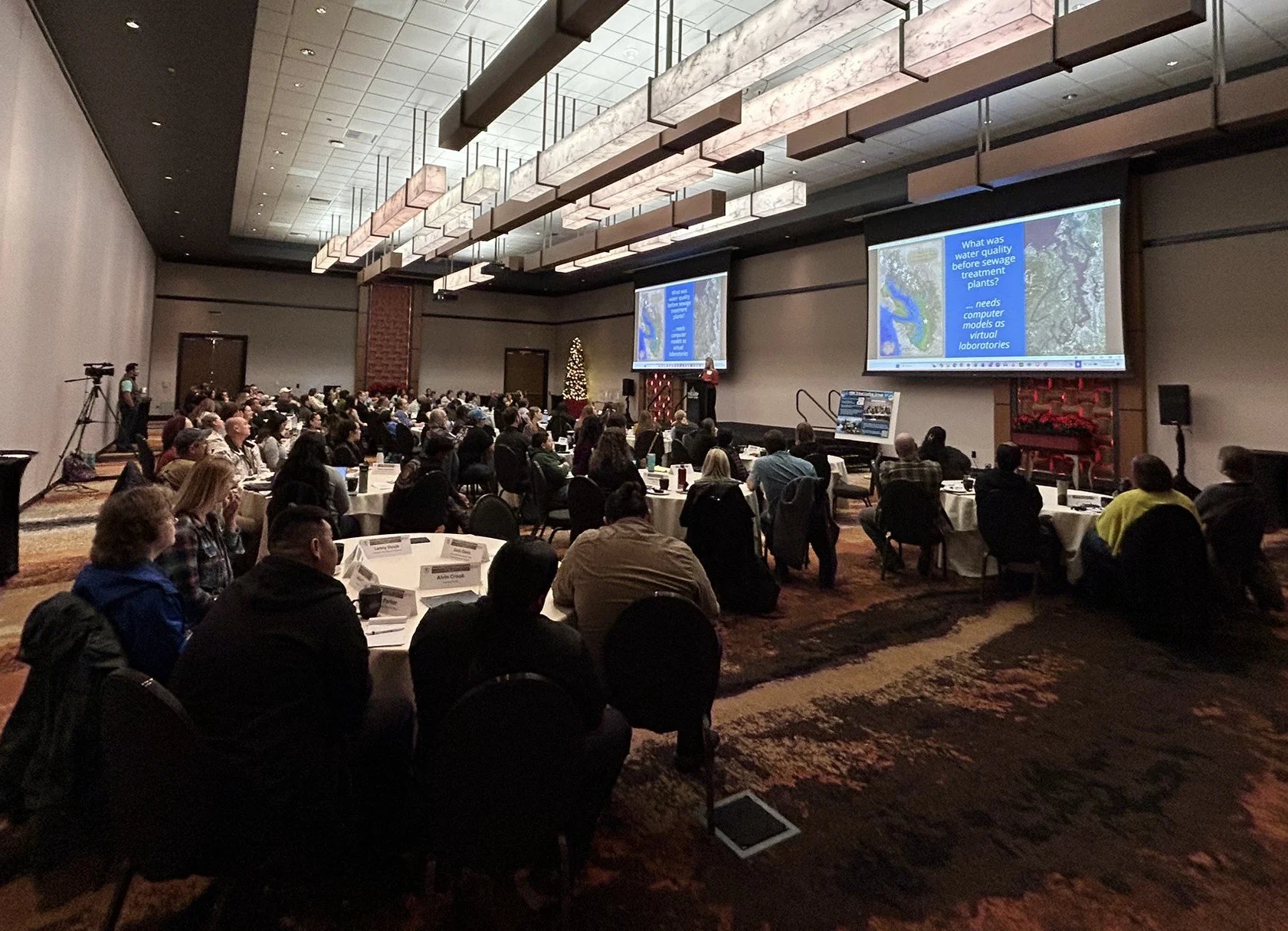
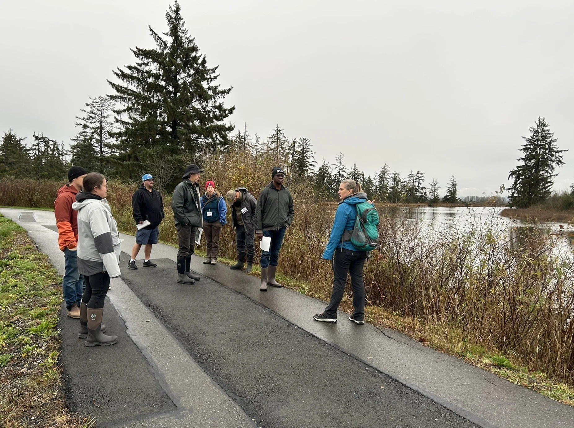
In mid-November, Andy Robertson and Kathy Allen traveled to Tulalip, Washington to help facilitate a Clean Water Act training for tribal program staff, funded by an EPA grant. GSS worked with the National Association of Wetland Managers (NAWM) and a planning team of EPA and tribal staff to plan and deliver the training. The training was attended by 102 staff members from 48 different tribal communities across the country. It included two and a half days of presentations from tribal staff, partner groups, and regional EPA staff, along with an afternoon field trip and an optional workshop day. Topics ranged from water quality monitoring and data management to non-point source (319) projects and establishing water quality standards. Workshops included hands-on training on field monitoring techniques and two sessions on programming in R, presented by partners from the Tribal Exchange Network Group (TXG), who also provided travel assistance for attendees. Kathy gave a presentation titled “What GIS Can Do for Your Water Program”.
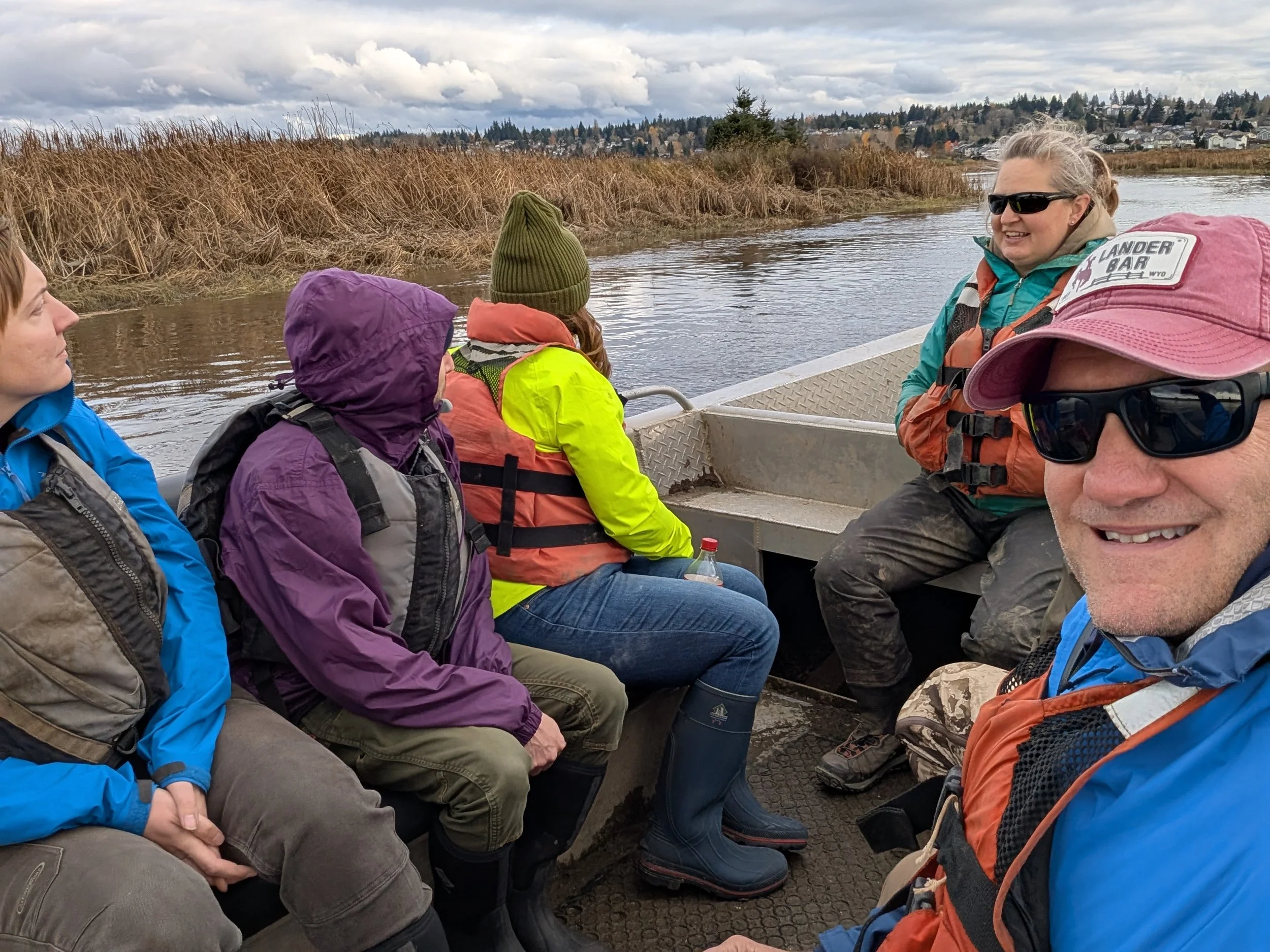
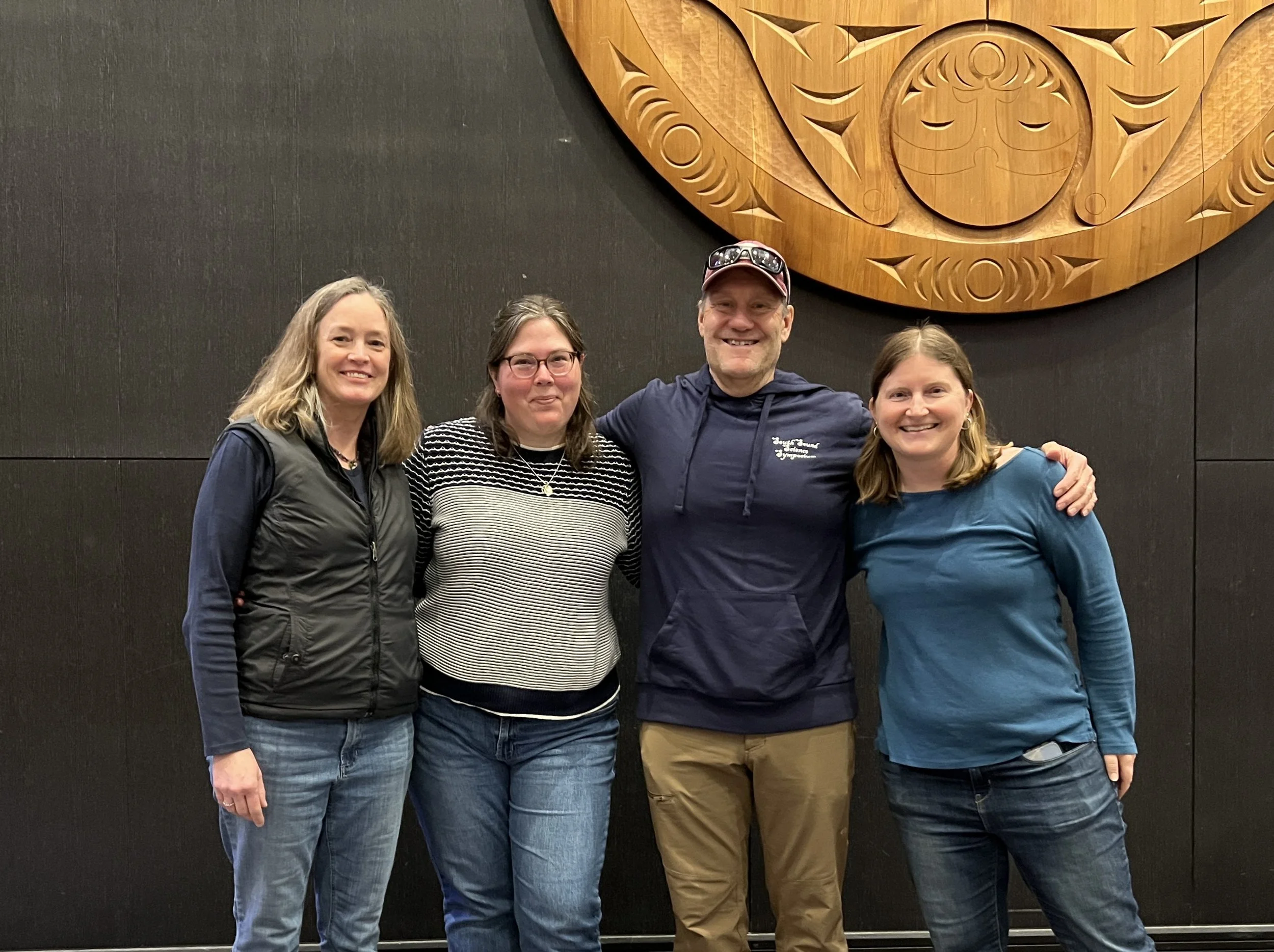
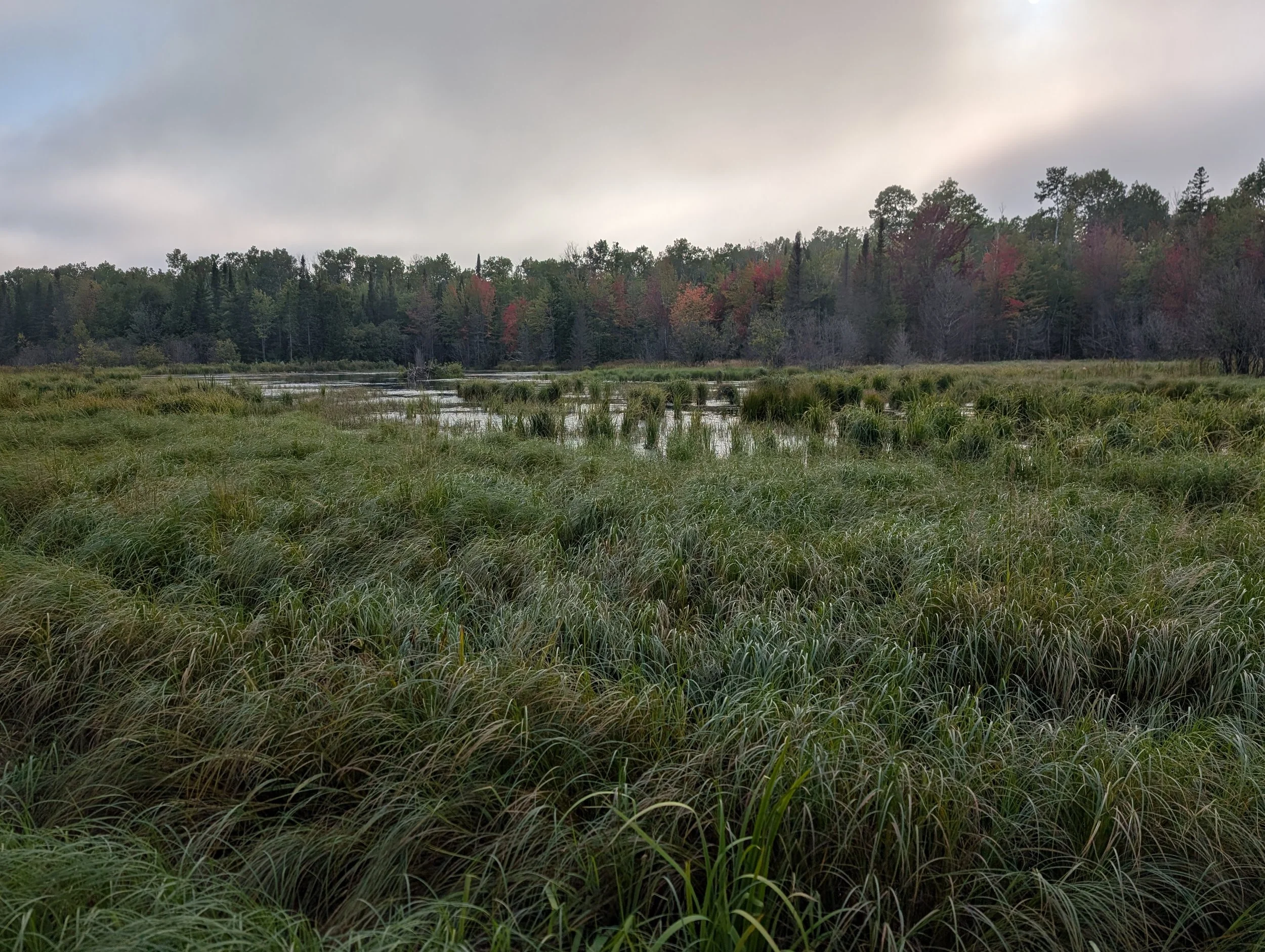
GSS in Bayfield County with the Red Cliff Band of Chippewa
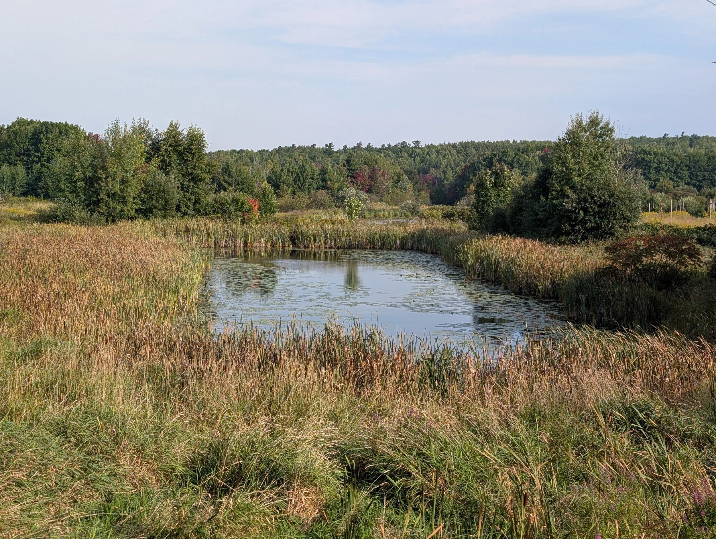
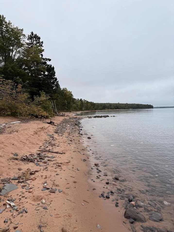
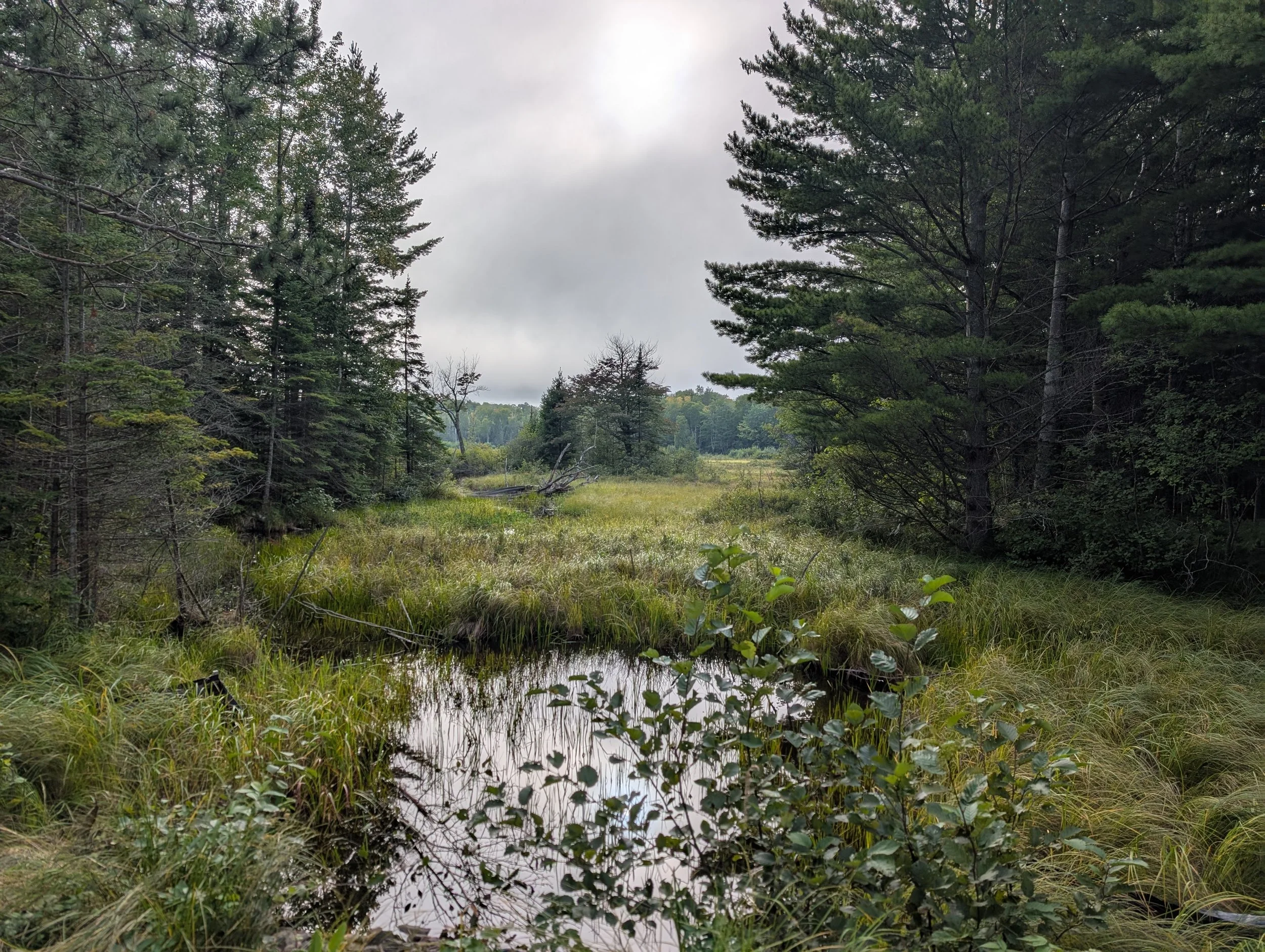
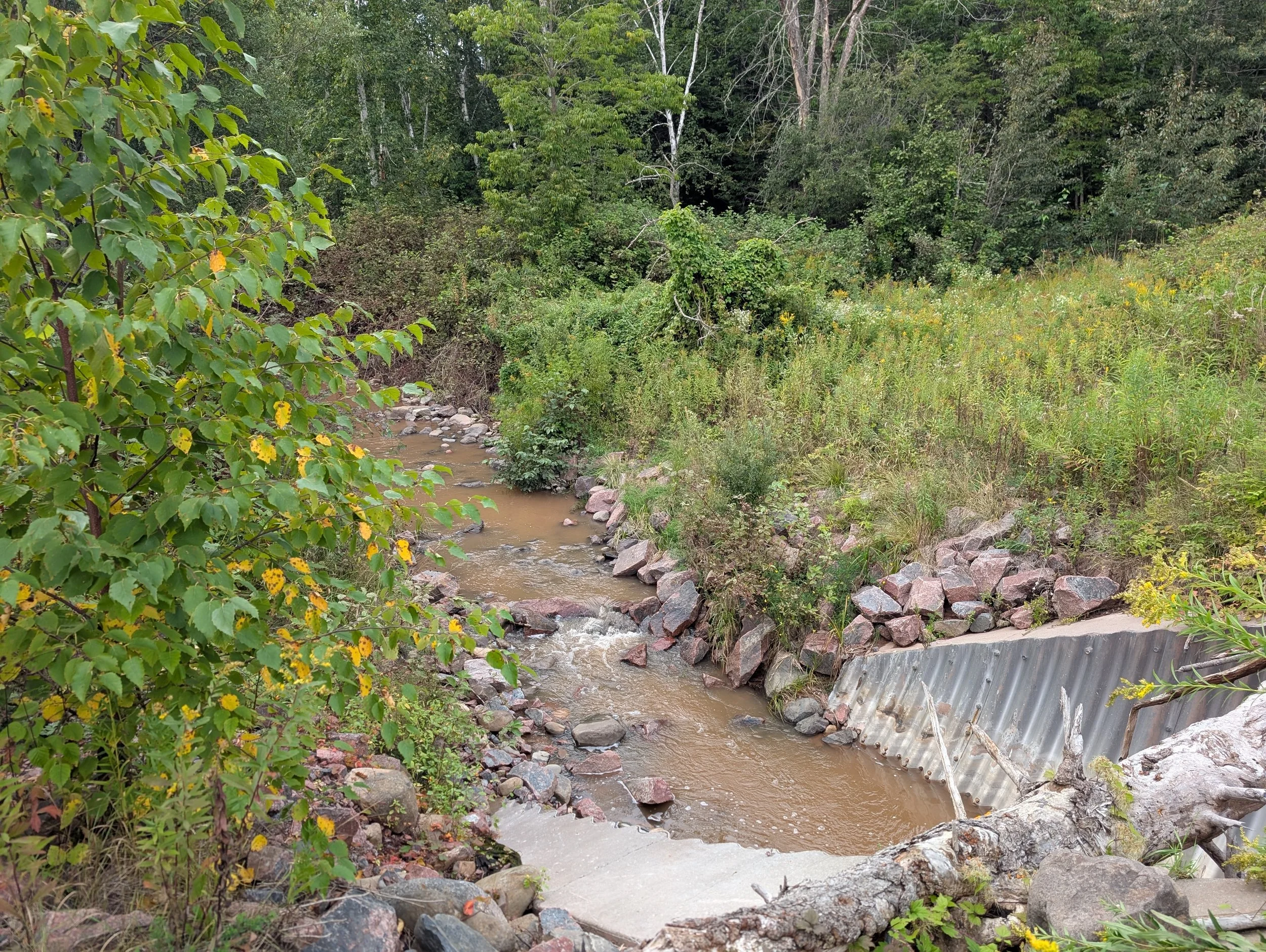
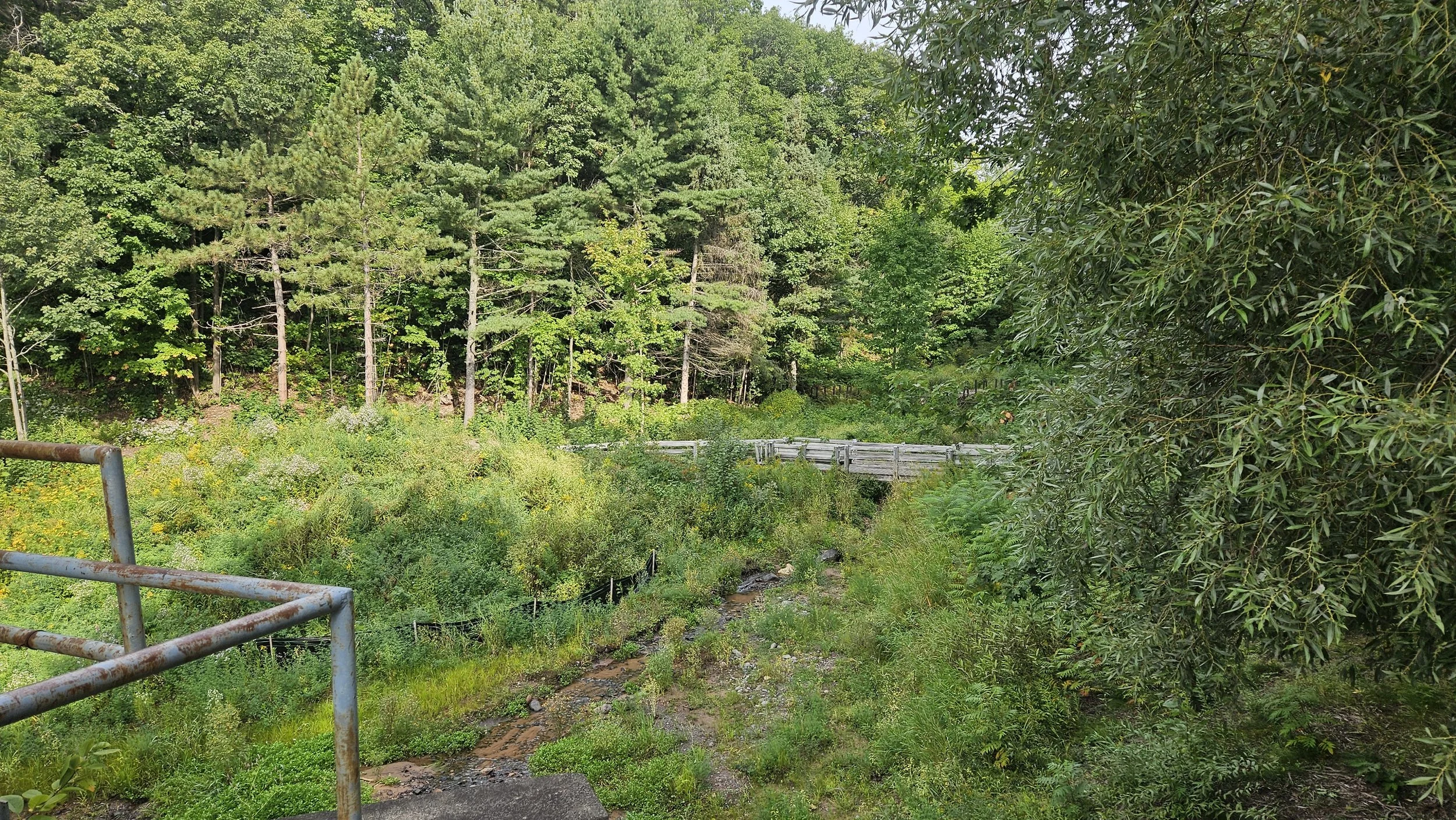
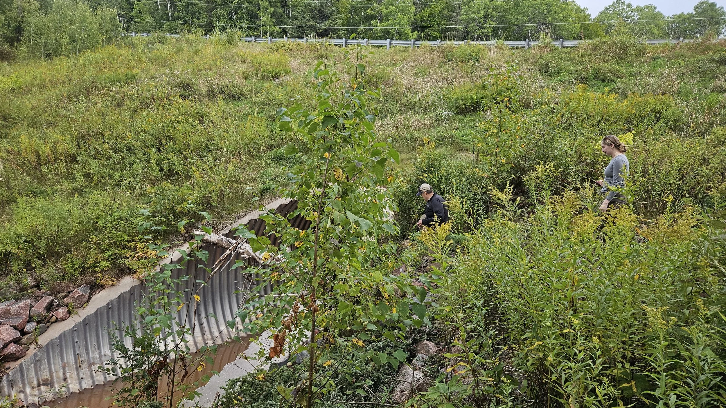
Geospatial Services (GSS) at Saint Mary’s University of Minnesota recently sent three team members to Bayfield, WI and the Red Cliff Band of Lake Superior Chippewa Reservation on the Bayfield Peninsula. The trip was part of an ongoing wetland and functional assessment project designed to support both the National Wetland Inventory (NWI) and the Red Cliff Band of Lake Superior Chippewa.
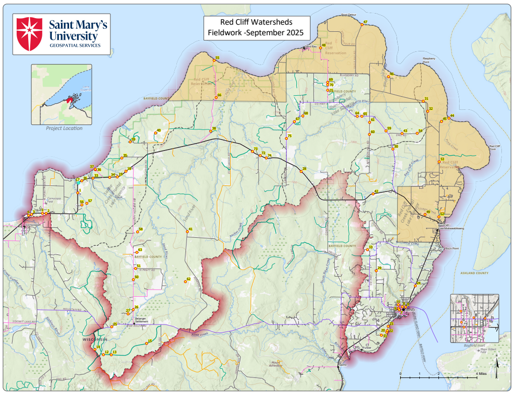
GSS team members Andy Robertson (Executive Director), Eric Lindquist (Project Manager/Analyst), and Kaylee McFarland (GIS Technician) spent three days in northern Wisconsin, working on both tribal and nearby lands. Their main goal was to verify aerial imagery and wetland mapping previously developed by GSS.
The team was welcomed by Jessica Jacobson, Wetland Specialist for the Red Cliff Band, who shared insights on the tribe’s wetland resources and joined the team in the field.
Fieldwork Highlights
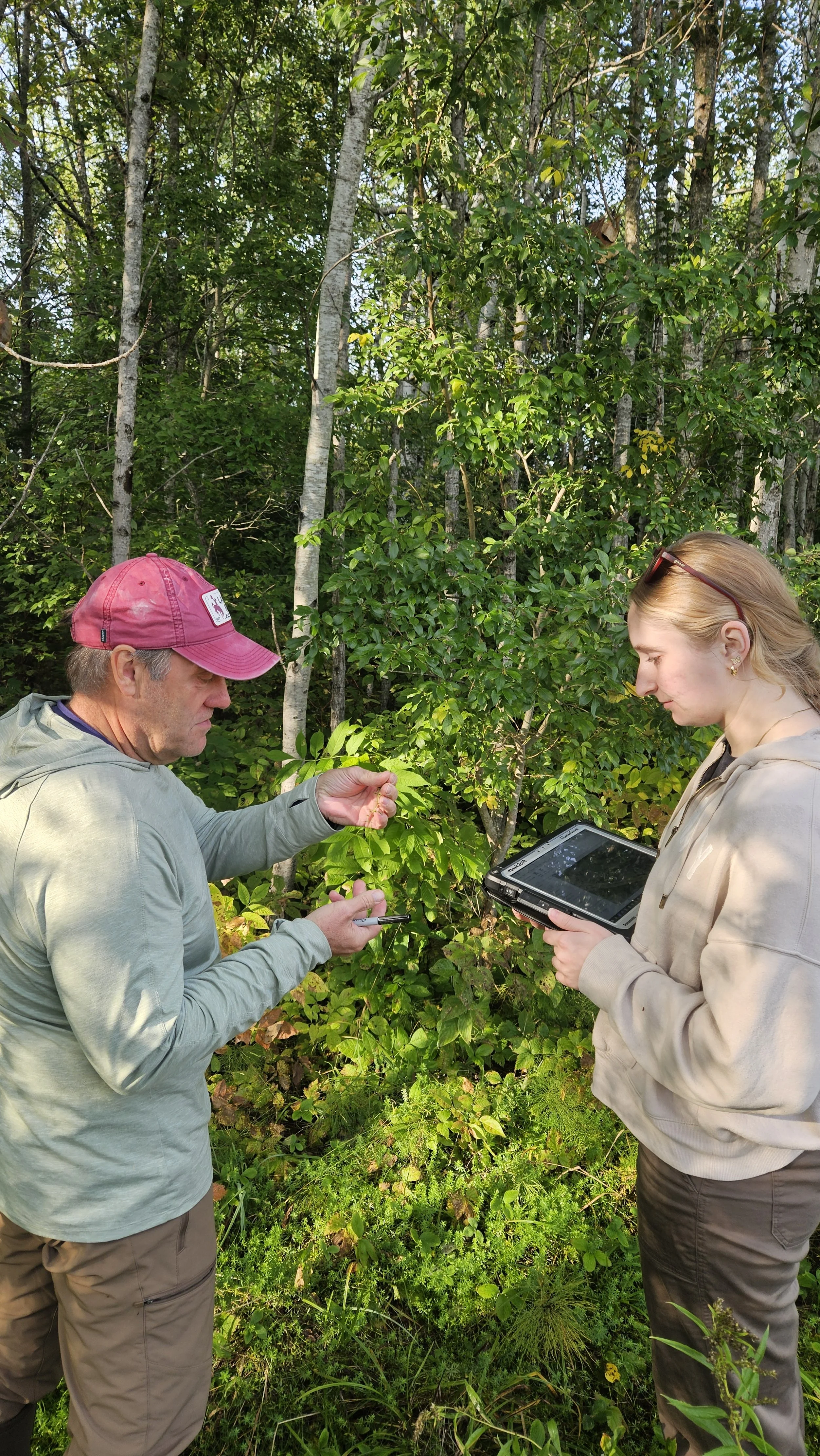
Over the course of the trip, the team visited a series of field sites to compare pre-mapping data with on-the-ground wetland conditions. Field activities included:
Identifying wetland vegetation
Collecting soil samples to confirm wetland soils
Documenting rivers and streams
Taking site photos for future mapping updates
These efforts ensure that the mapping meets NWI standards and accurately reflects current wetland conditions. The resulting data will contribute to a comprehensive wetland inventory, supporting planning, conservation, and resource management across northern Wisconsin.
O’Duggan Returns from Alaska Research with GSS-partner, AK-BioMap
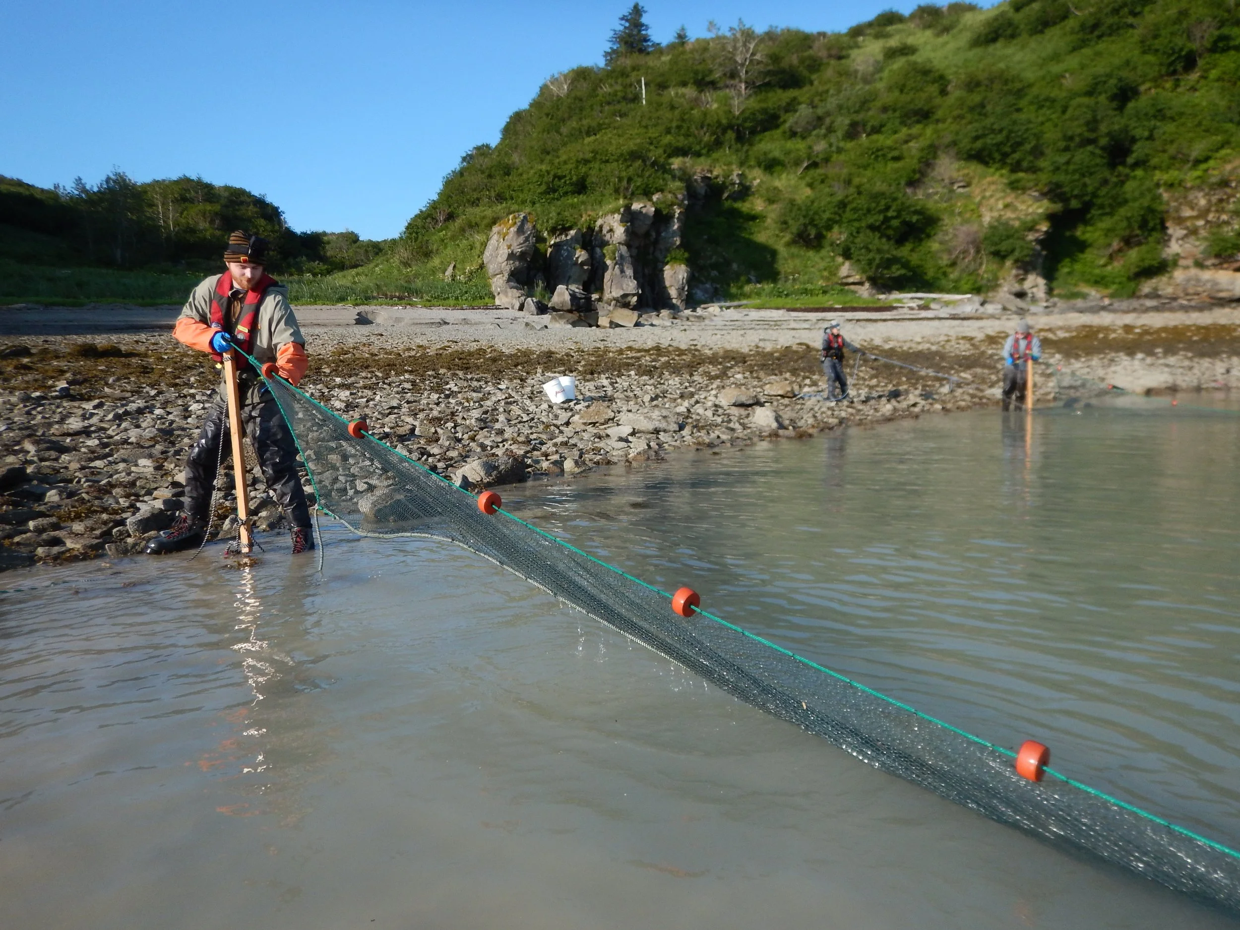
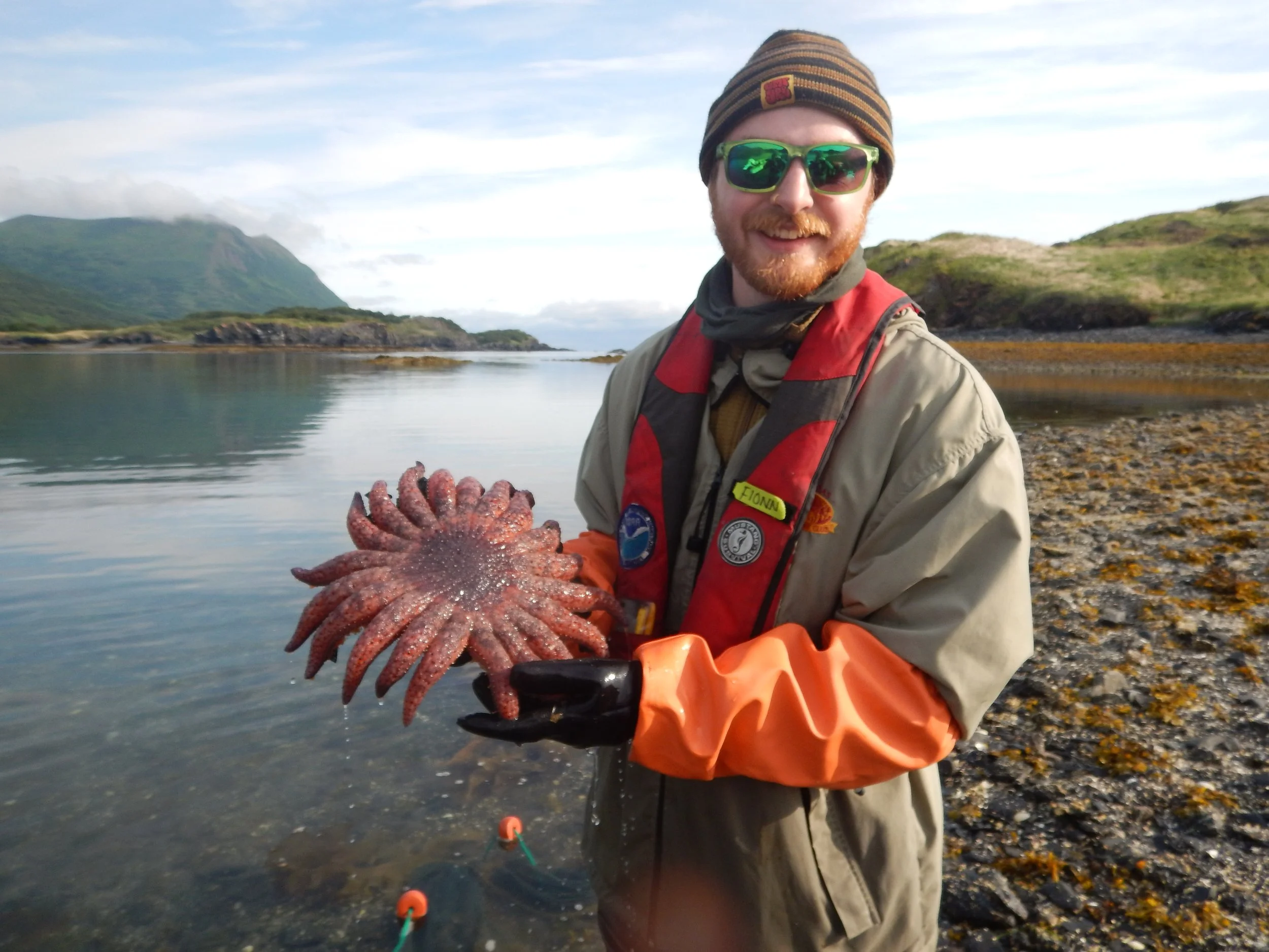
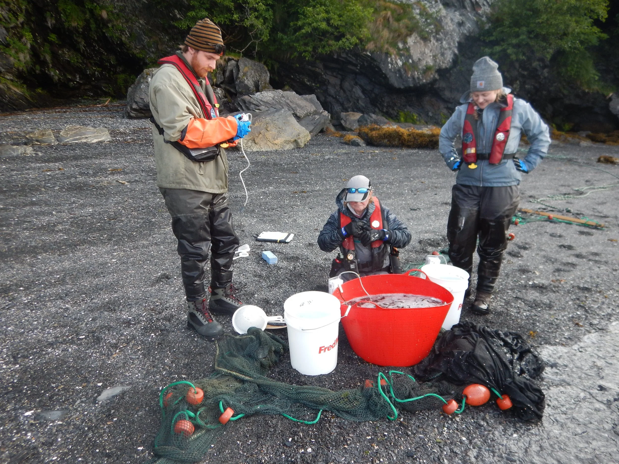
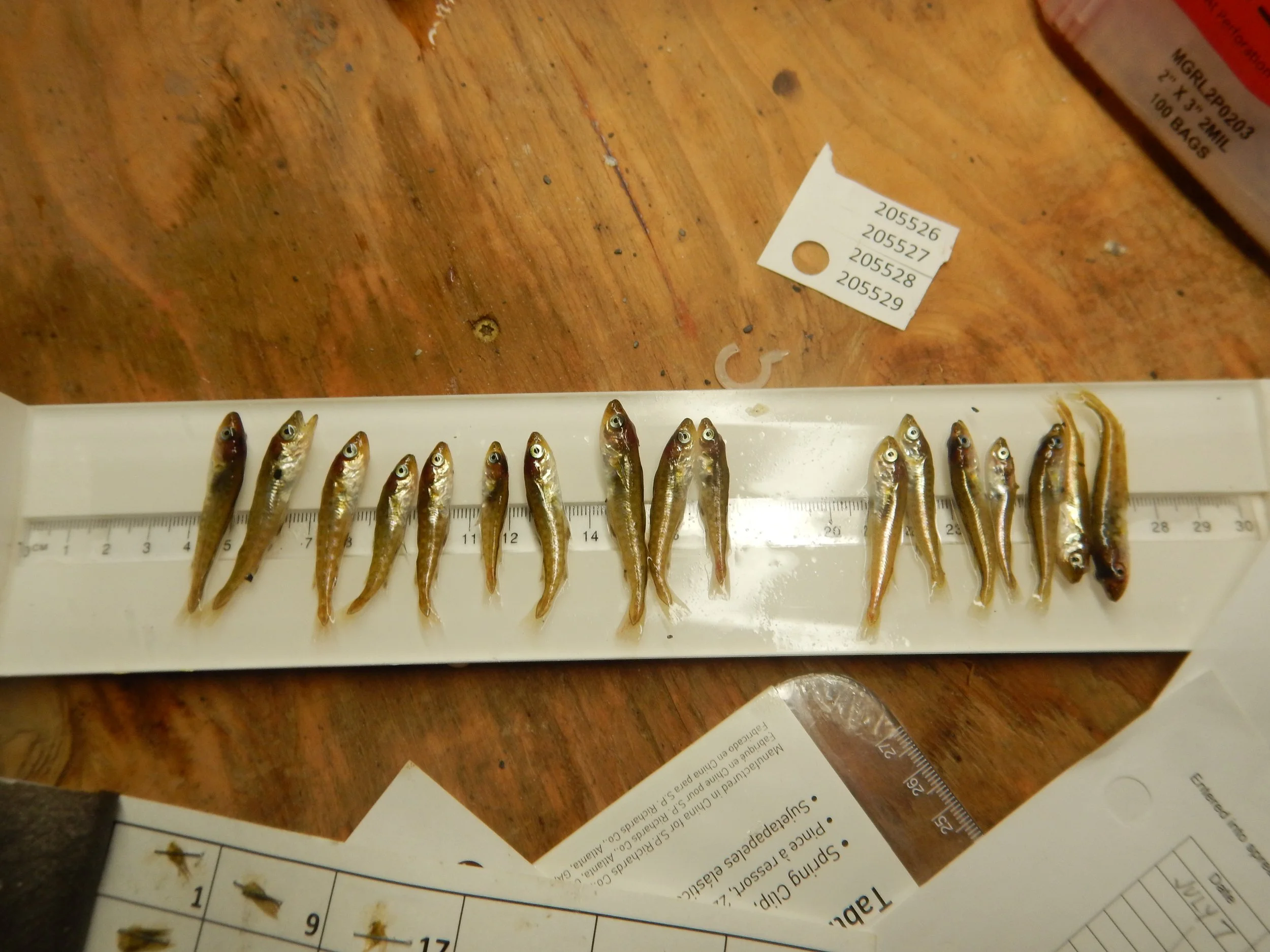
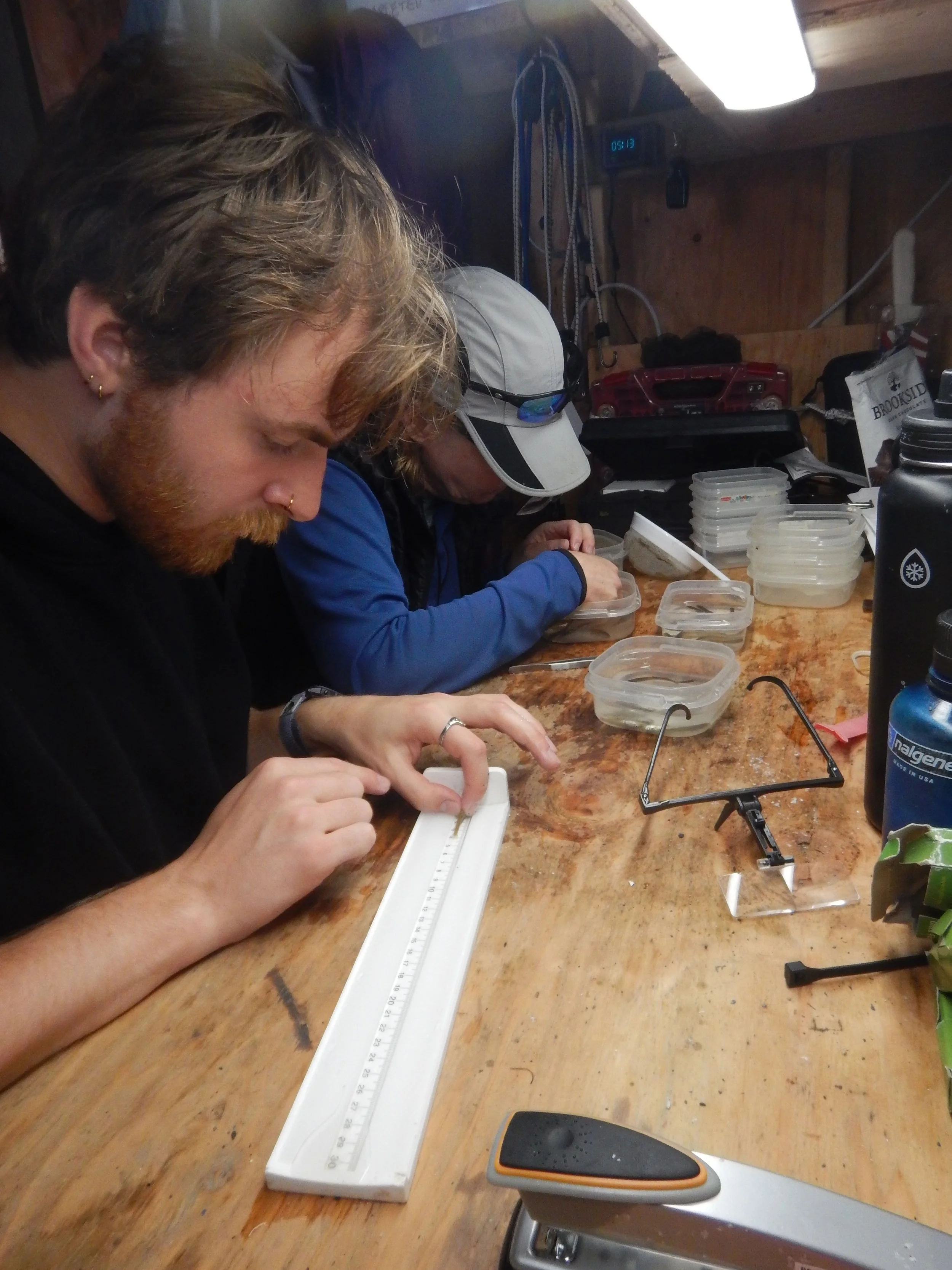
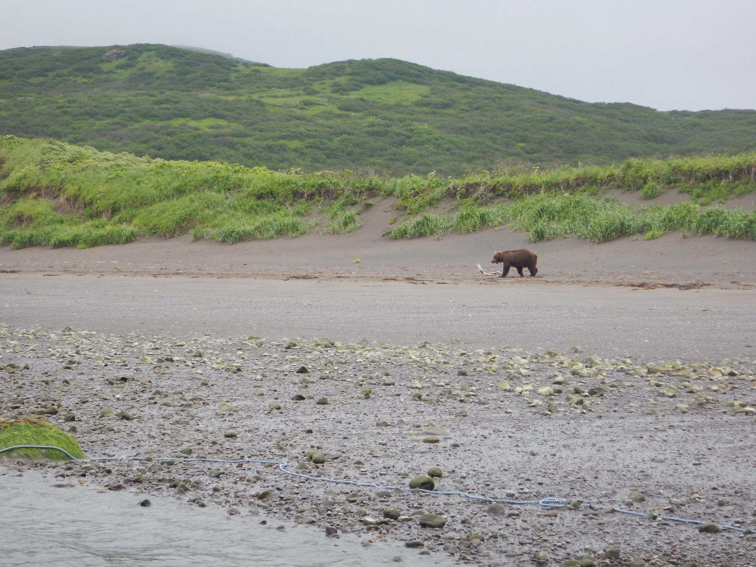
In July, SMUMN GSS, Technician Fionn O’Duggan flew to Kodiak, Alaska and took part in a 25-day research cruise with GSS partner Alaska Biomap Scientific Services and a small team of National Oceanic and Atmospheric Administration (NOAA) scientists on board the Lady Sea. The goal of the cruise was to gather data to validate and enhance an Individual Based Model (IBM) for pacific cod in the Gulf of Alaska. Juvenile gadids (any fish in the cod family) were collected using beach seine nets at sample sites with desirable habitat for young gadids (protected bays abundant with sugar kelp and eelgrass). Water temperature, salinity, dissolved oxygen (DO) content, and substrate composition were recorded at each site. Baited underwater cameras were used as well to capture images of juvenile gadids to aid in estimation of relative abundance and health. Sample sites ranged from Sand Point on the Shumagin Islands to Seward on the Kenai Peninsula. After collection, the juvenile cod were brought on board to be identified, counted, measured, and fin clipped for later genetic analysis. This research stemmed from dramatic declines of Pacific cod abundance in the Gulf of Alaska since 2013 due to a period of anomalously warm water. The overarching goal of the study is to better predict Pacific cod population health, distribution, and abundance so the fishing industry might better adapt to future oceanic changes.
O’Duggan was joined on the trip by other interns, including Ella Kelly from the NOAA. A link to her NOAA blog is included below.
When he wasn’t beach seining or working in the boat’s lab, Fionn fished off the deck, cold plunged, enjoyed the wildlife, and beach combed for salmonberries and rocks.
NOAA Intern, Ella Kelly’s blog can be found here: LINK