From Burn Scars to Roundtables: GSS Returns to New Mexico
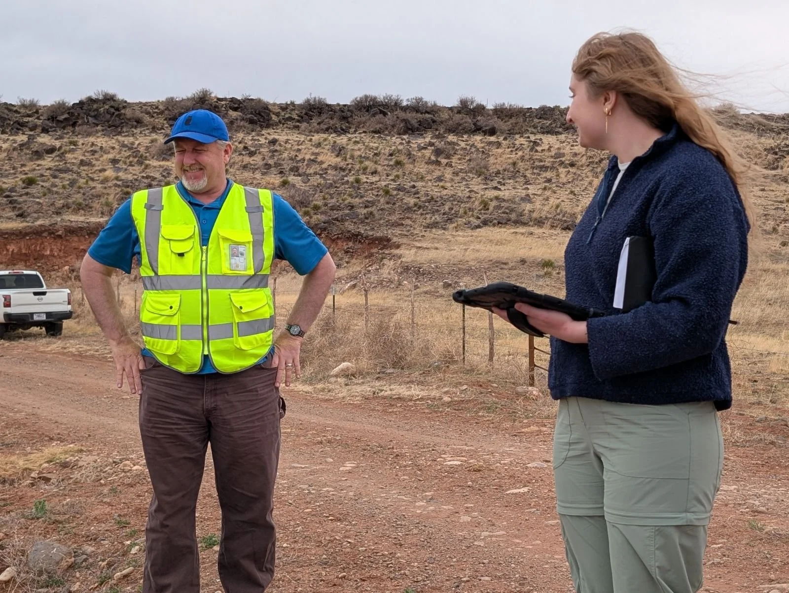
New Mexico’s diverse landscapes recently provided the backdrop for a productive week of field verification and collaborative partnership. In April, a three-person team, Andy Robertson, Zack Ansell, and Kaylee McFarland, from Geospatial Services (GSS) returned to the Land of Enchantment for six days of intensive fieldwork and high-level strategy meetings with the New Mexico Environment Department.
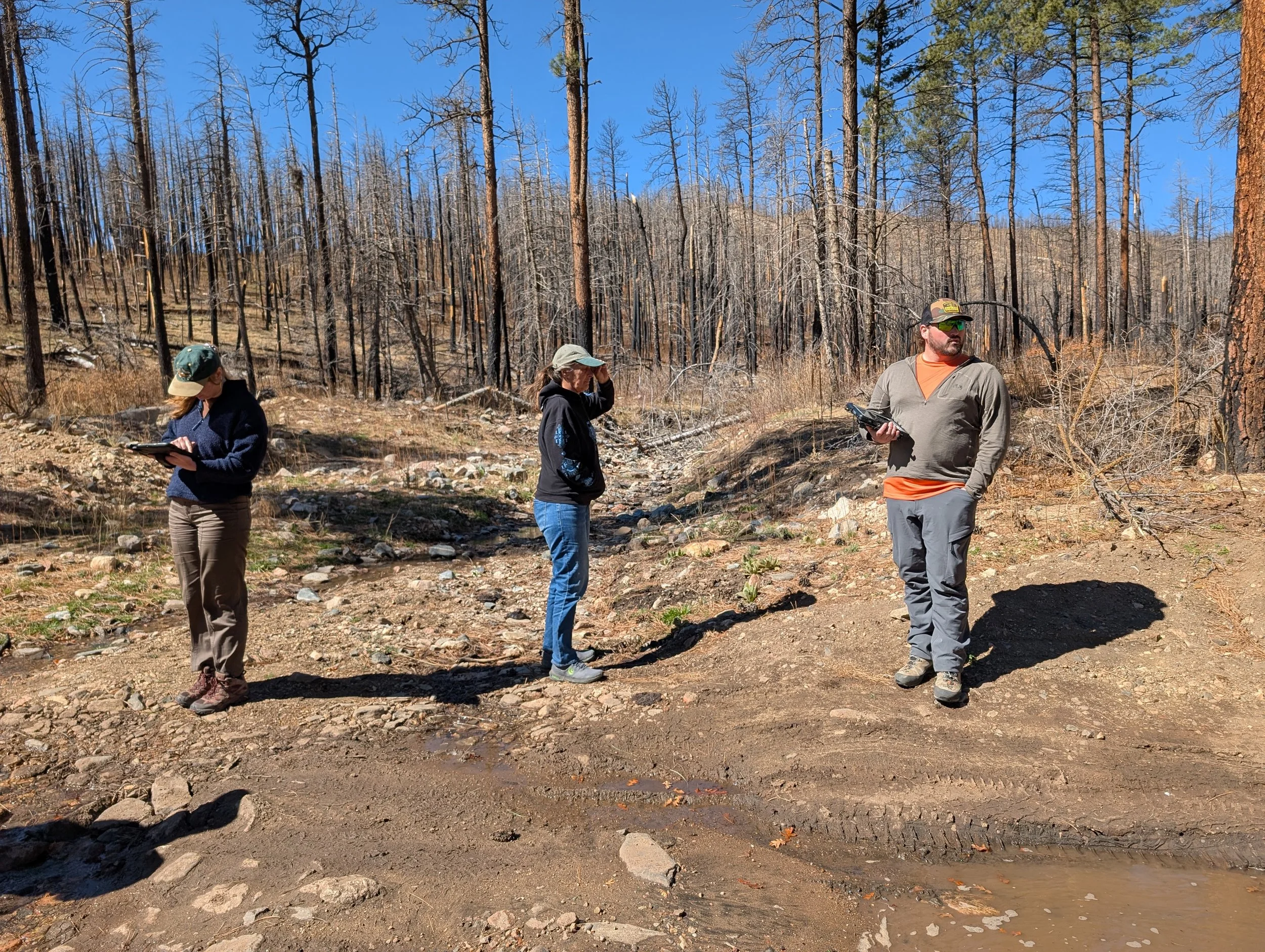
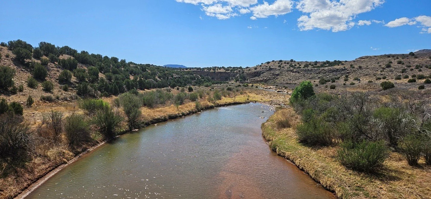
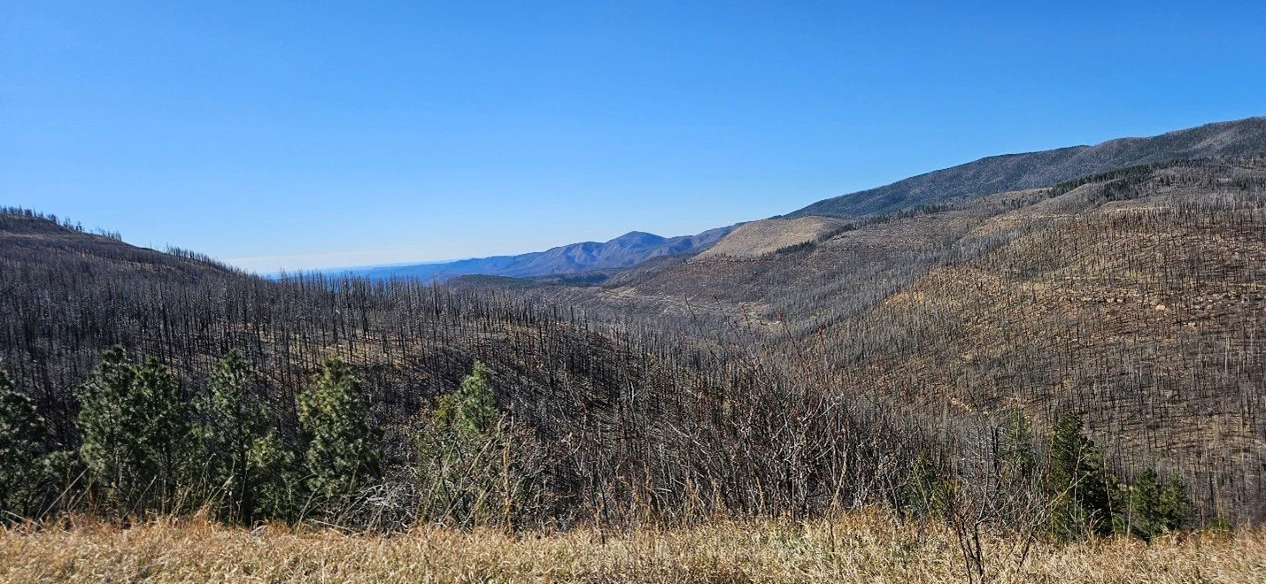
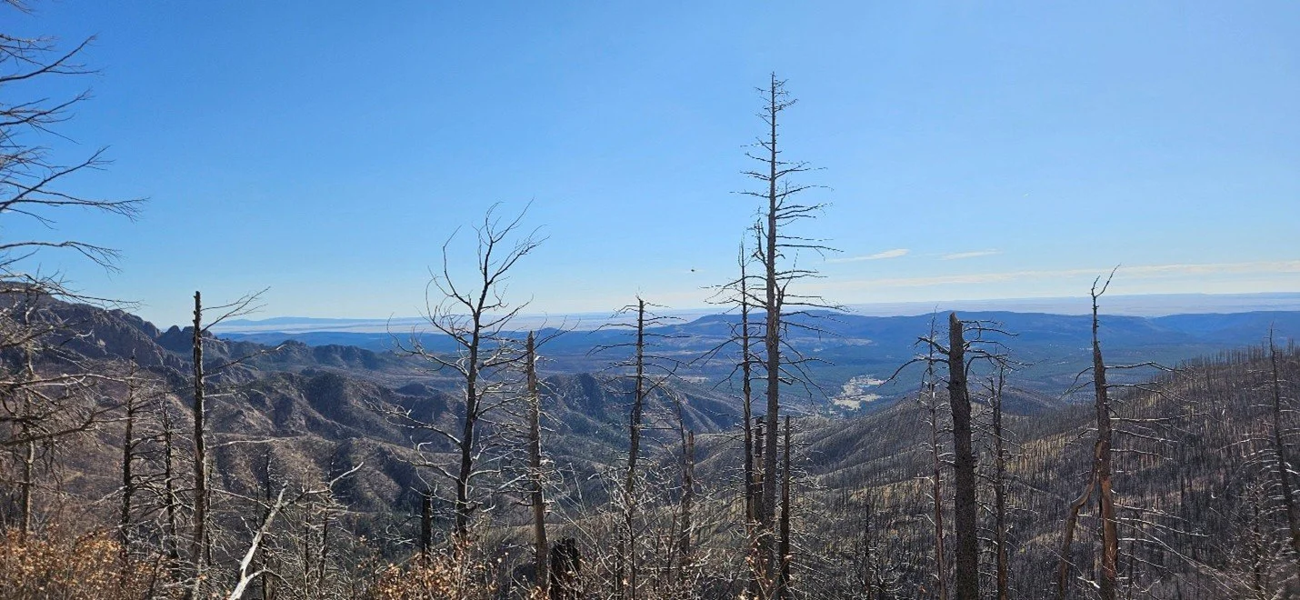
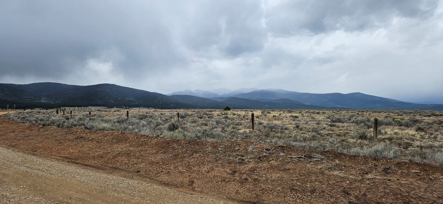
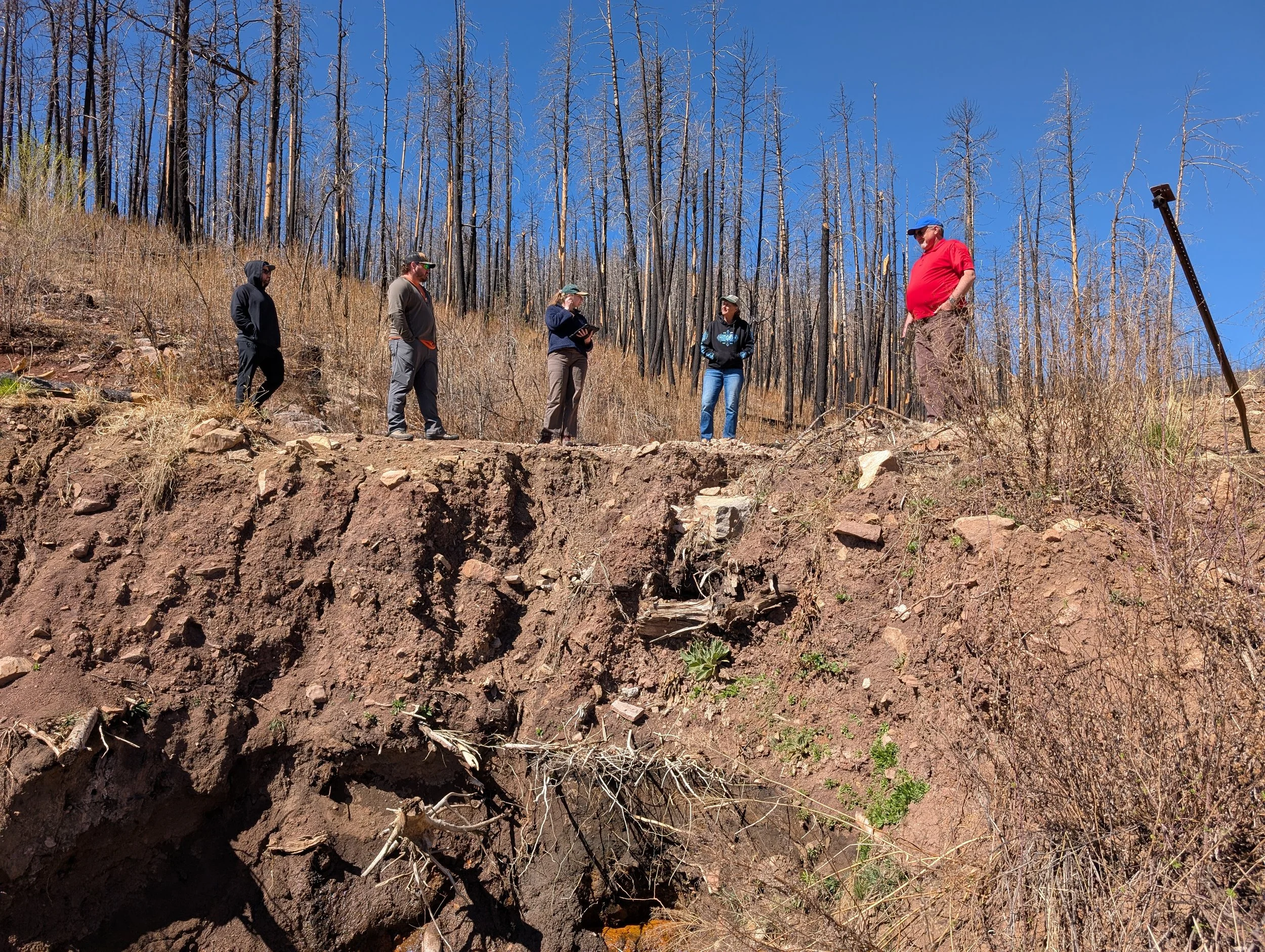
The mission was twofold: to observe the environmental evolution of the Hermits Peak/Calf Canyon burn scar and to strengthen our ties with local stakeholders. Based out of Las Vegas, NM, our team focused heavily on the Mora area, examining how recent fires have drastically altered surrounding wetland ecosystems. Our field surveys also took us as far north as the Maxwell Wildlife Refuge in Colfax and south to the capital in Santa Fe.
Beyond the field, GSS played a central role in several key gatherings:
The Wetland Roundtable: We joined over 50 hybrid and in-person attendees to discuss the future of the state’s water resources.
TAC Meeting: Hosted at New Mexico Highlands University, GSS Executive Director Andy Robertson presented to 20 representatives from various organizations on our past, current, and future mapping initiatives in the state.
The events were held at New Mexico Highlands University.
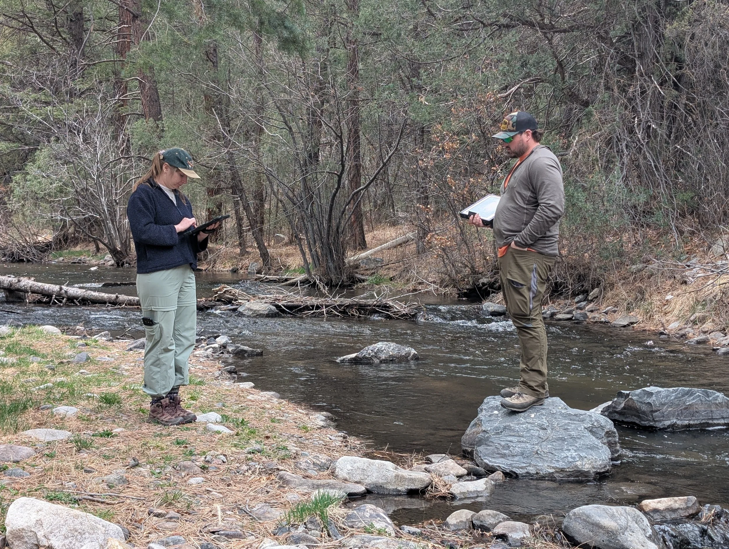
Hands-on Training: A highlight of the trip was leading 17 partners on a local field excursion, where we demonstrated the GSS methodology for wetland mapping and field verification in real-time.
These face-to-face interactions remain vital to our work, ensuring that our data-driven maps translate into real-world conservation impact.