Fieldwork Update: Mapping Kansas City’s Wetlands
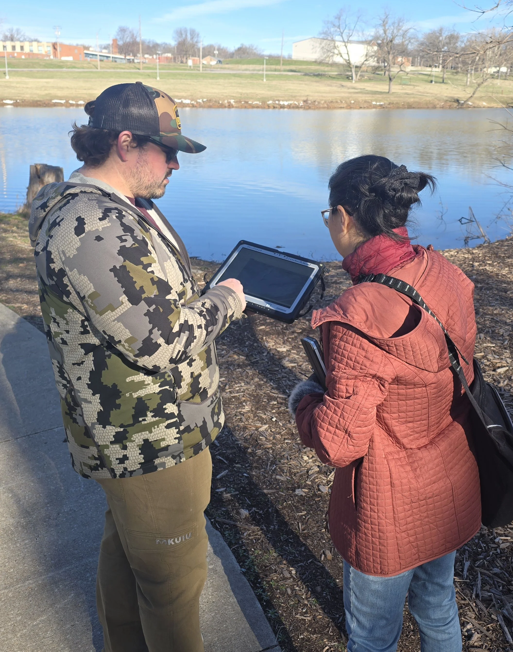
This past week, March 14–18, our team at Geospatial Services (GSS) completed critical fieldwork in Kansas City, MO, as part of the KCMO Wetlands Mapping and Classification project.
Senior GIS Analyst Kevin Stark and Lead GIS Analyst Zack Ansell led the effort to verify remote sensing data and ensure the accuracy of the city’s updated wetlands inventory.
A Collaborative Effort
The fieldwork was a multi-agency collaboration. The GSS team was joined by:
Jing Tao, PhD, Environmental Manager at KC Water and the overall Project Manager.
Frank Nelson, Wetland Coordinator for Statewide Resource Management at the Missouri Department of Conservation.
Staff from KC Water and other partnering organizations.
The Mission: Ground-Truthing
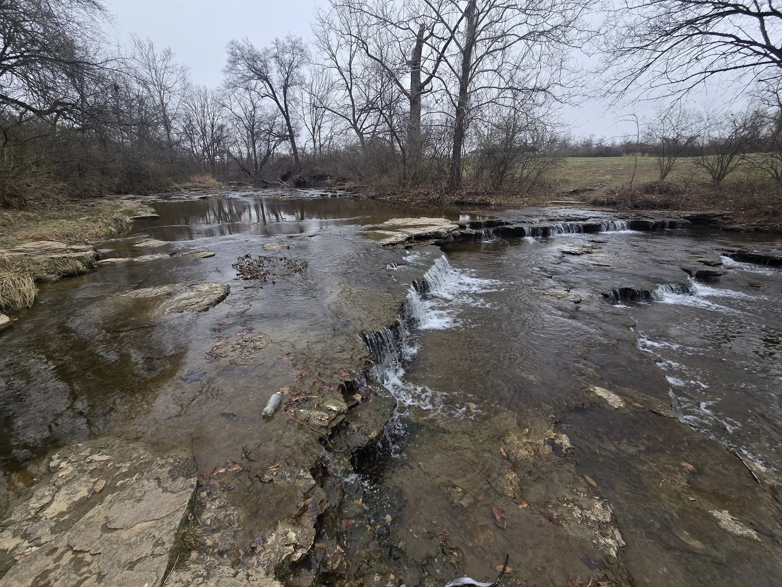
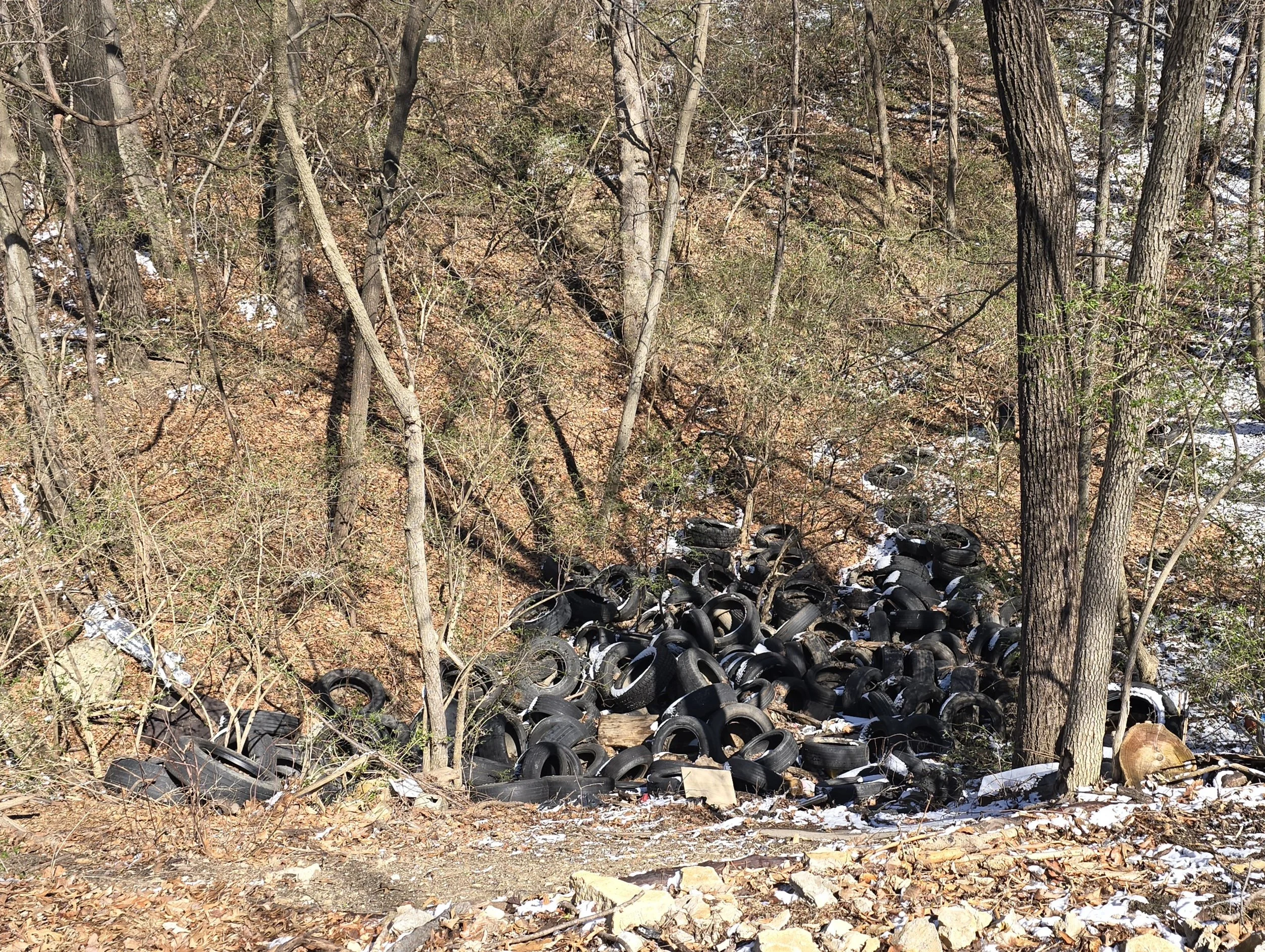
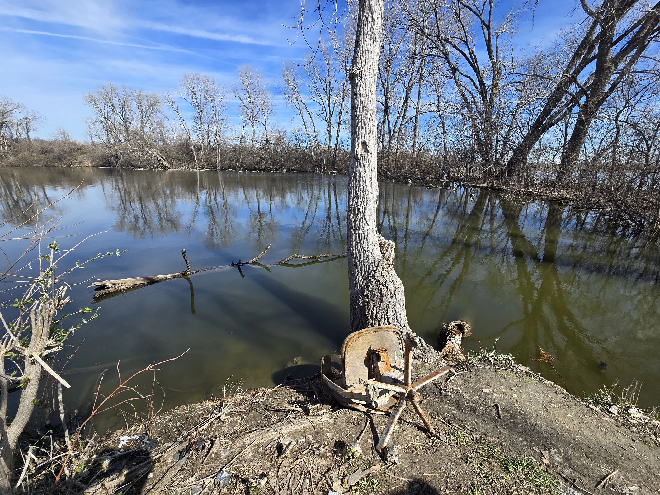
The team conducted "ground-truthing" across the 230,000-acre project area to verify preliminary mapping derived from high-resolution aerial imagery. Key activities included:
Site Verification: Visiting 60–100 "check sites" to correlate image signatures with real-world wetland and upland conditions.
Riparian Assessment: Testing the Western Riparian Classification system on Midwestern forest types to identify unique ecosystems that are ecologically significant but may not meet standard wetland criteria.
Data Collection:
Recording GPS locations, site photographs, and documenting soil, vegetation, and hydrologic conditions.
Impact:
Funded by a US EPA Wetland Program Development Grant, this project provides a vital tool for managing Kansas City’s resources. The final geodatabase will support water quality monitoring, identify high-potential restoration sites, and help the city protect its wetlands amid ongoing development.