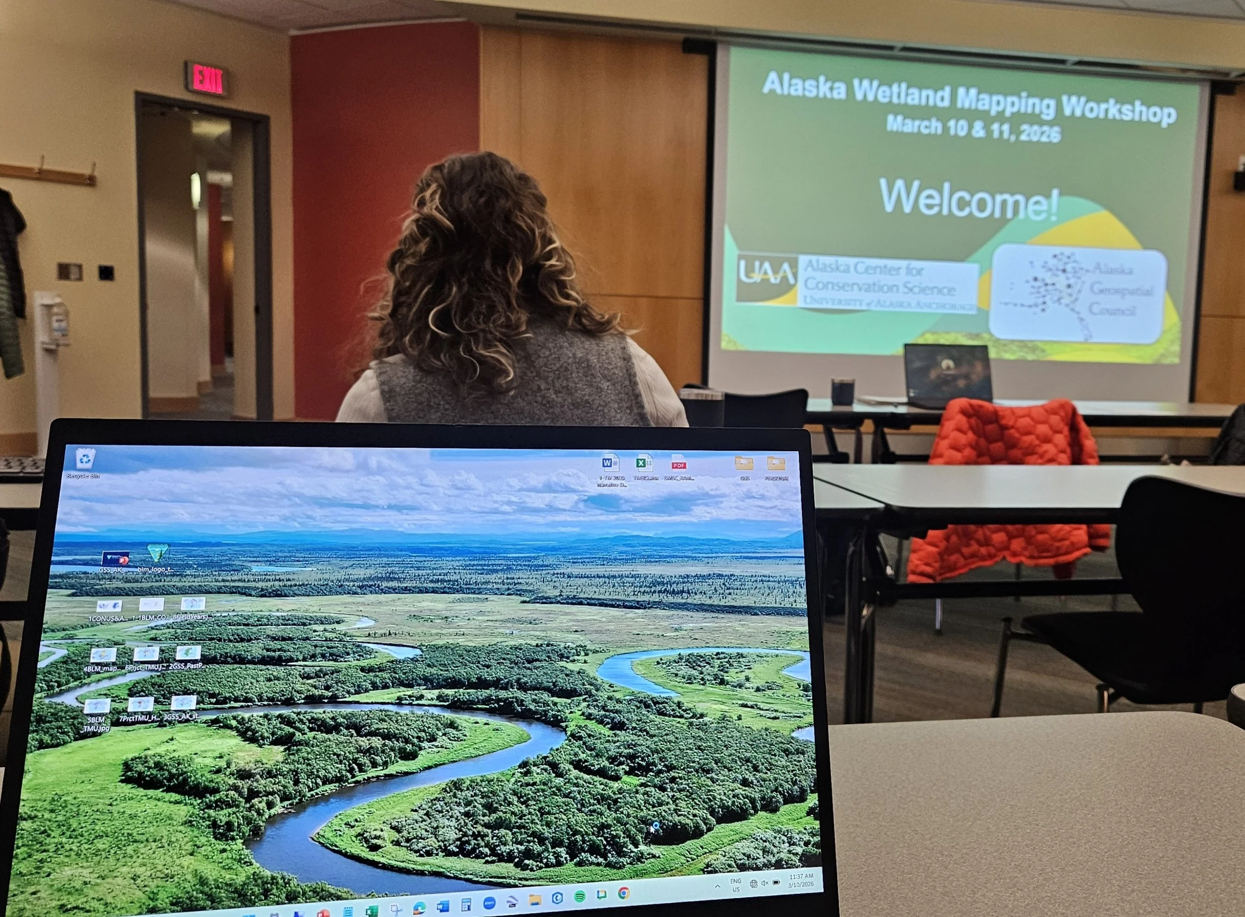
GSS Attends Alaska Wetlands Mapping Workshop in Anchorage
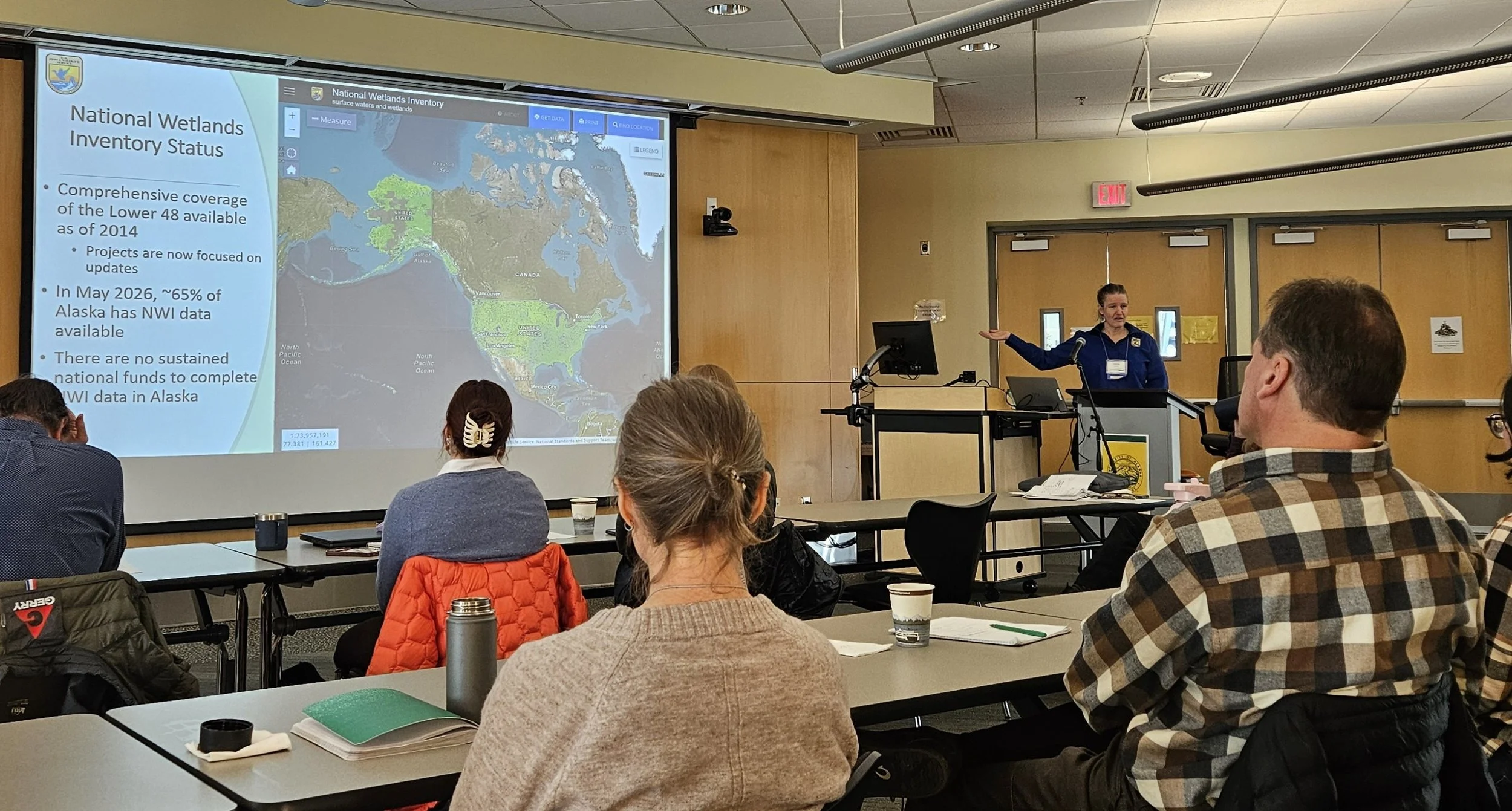
Last week, GSS Executive Director Andy Robertson and GIS Project Manager Eric Lindquist traveled to Anchorage, Alaska, to participate in the Alaska Wetlands Mapping Workshop. Held at the University of Alaska Anchorage Consortium Library on March 10–11, 2026, the event brought together a diverse group of data scientists, wetland ecologists, and resource managers from across North America.
Hosted by the Alaska Geospatial Council (AGC) Wetlands Technical Working Group, the workshop focused on the "state of the science" regarding how wetlands geospatial data is currently produced, maintained, and used. For Andy and Eric, the trip was a return to familiar territory; both have extensive experience managing National Wetland Inventory (NWI) and National Hydrography Dataset (NHD) updates across the state.
Defining the Future of Alaska’s Data
The workshop’s vision was to define a path forward for Alaska’s wetlands data—aiming to make it more accessible, integrated, and "analytic-ready" for end users. Highlights from the agenda included:
Strategic Overviews: Presentations from the Alaska Geospatial Office and the U.S. Fish and Wildlife Service on current mapping production.
Emerging Technologies: Technical sessions on GeoAI workflows, machine learning methods, and semi-automated mapping techniques.
Strategic Planning: An afternoon session dedicated to developing recommendations for the next Wetlands Technical Working Group Strategic Plan.
A Collaborative Effort
The event also served as a valuable networking opportunity, featuring "lightning talks" and breakout sessions where practitioners shared updates on their latest work. As long-time partners of the USFWS and former chairs within the AGC, Andy and Eric contributed GSS’s expertise in advancing mapping techniques through elevation-derived products and hydrologic modeling.
The insights gained from this workshop will help guide coordinated investment and stewardship of wetlands data statewide, ensuring that Alaska remains at the forefront of geospatial innovation.
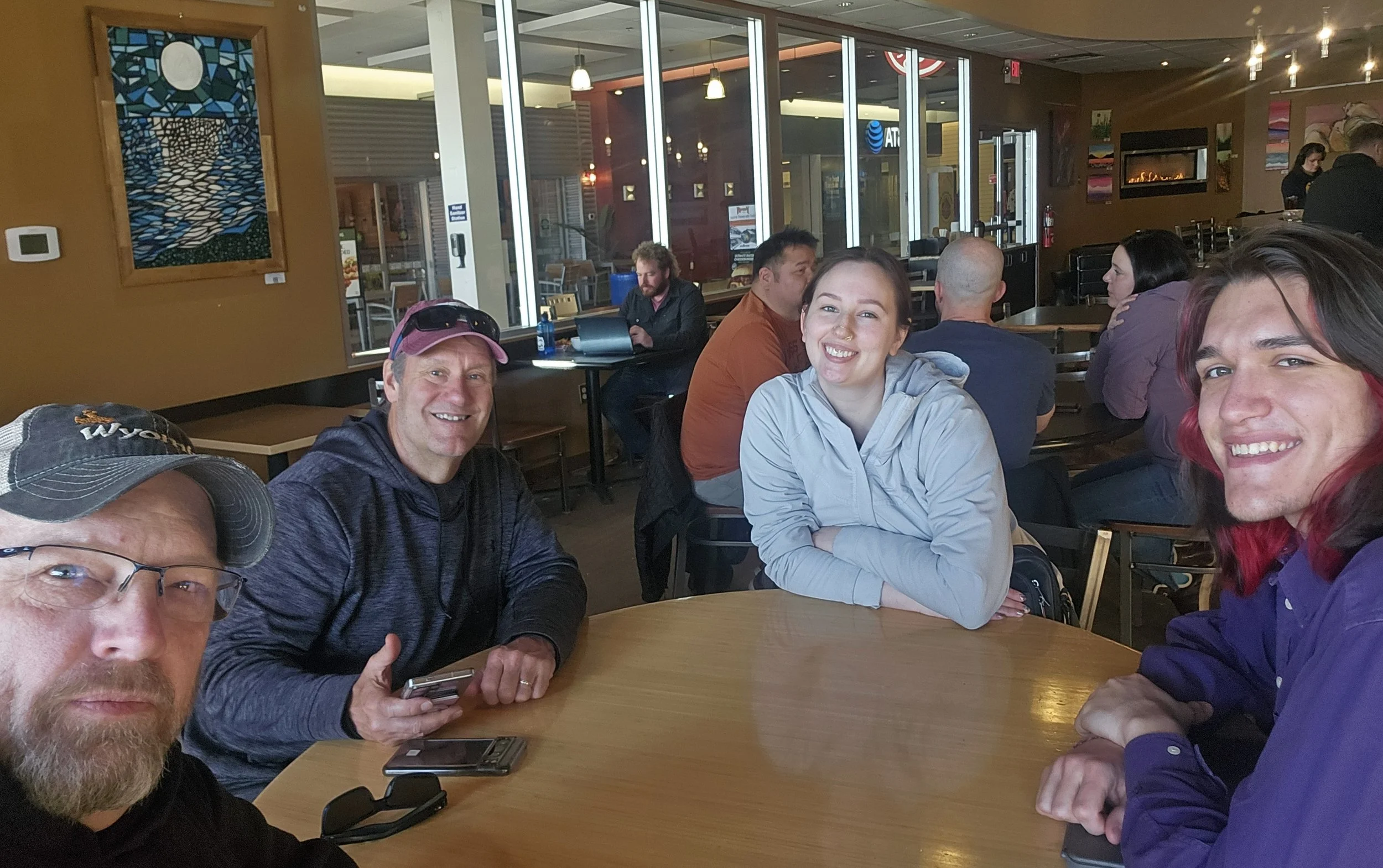
Following the workshop, Andy and Eric spent the remainder of the week meeting with key regional partners, including Bristol Bay Native Corporation, the Kenai Watershed Forum and the Alaska National Parks System. These discussions focused on ongoing collaboration and specialized mapping needs to support local resource management and conservation efforts. Along with meeting partners the two met with current GSS Staff in Anchorage, Larissa Kramer and applicant Sander Johnson.