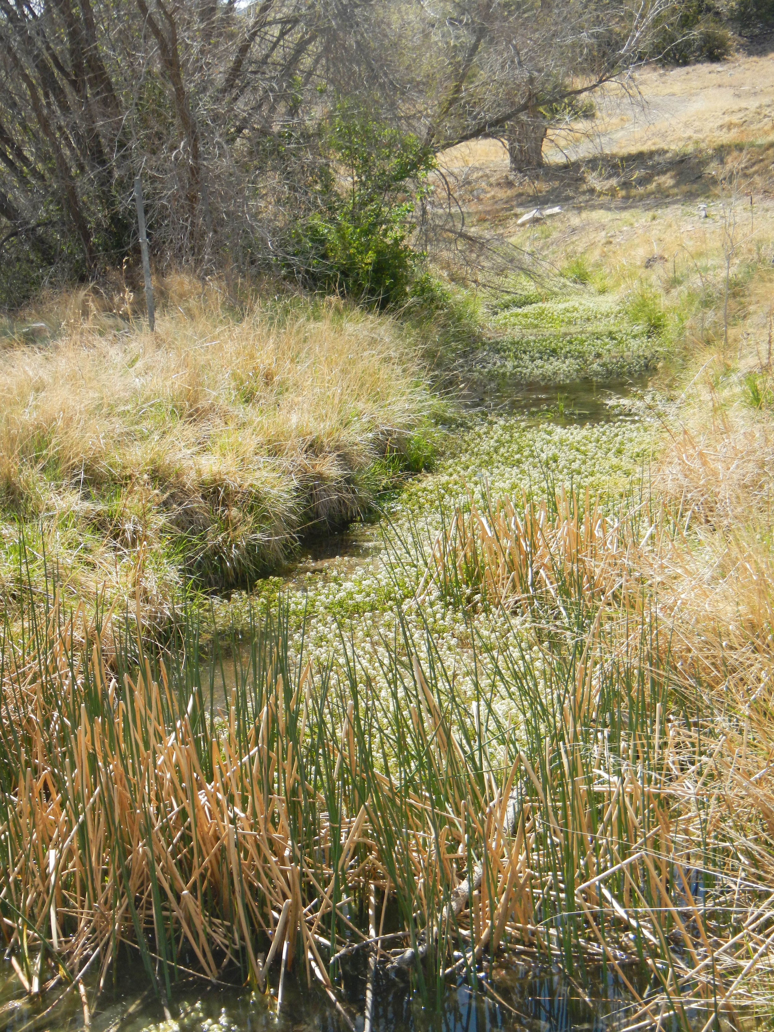
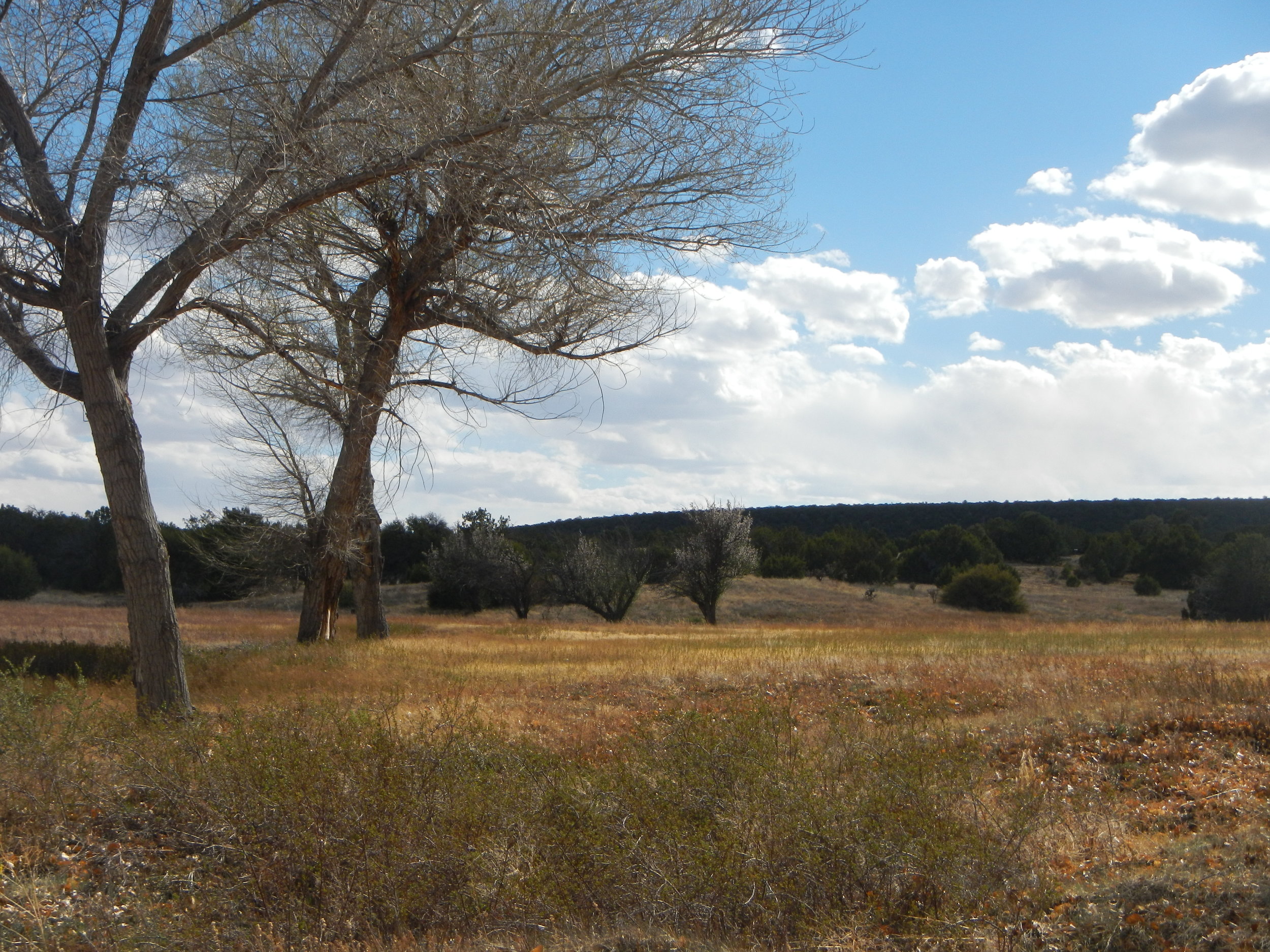
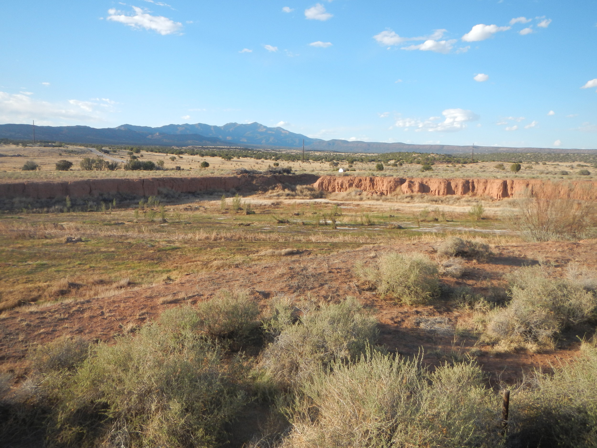
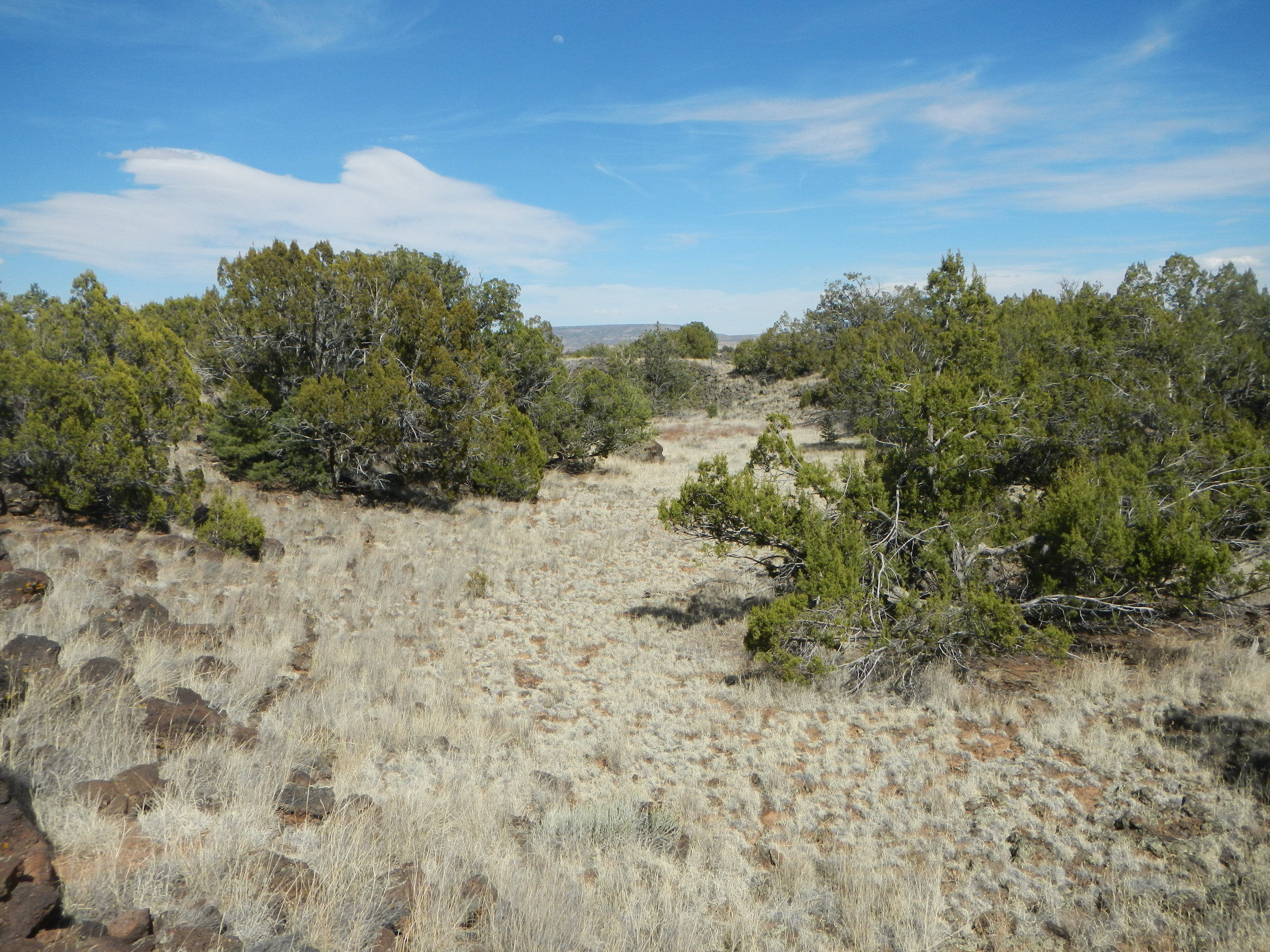
Wetland Mapping in the Middle Rio Grande, New Mexico
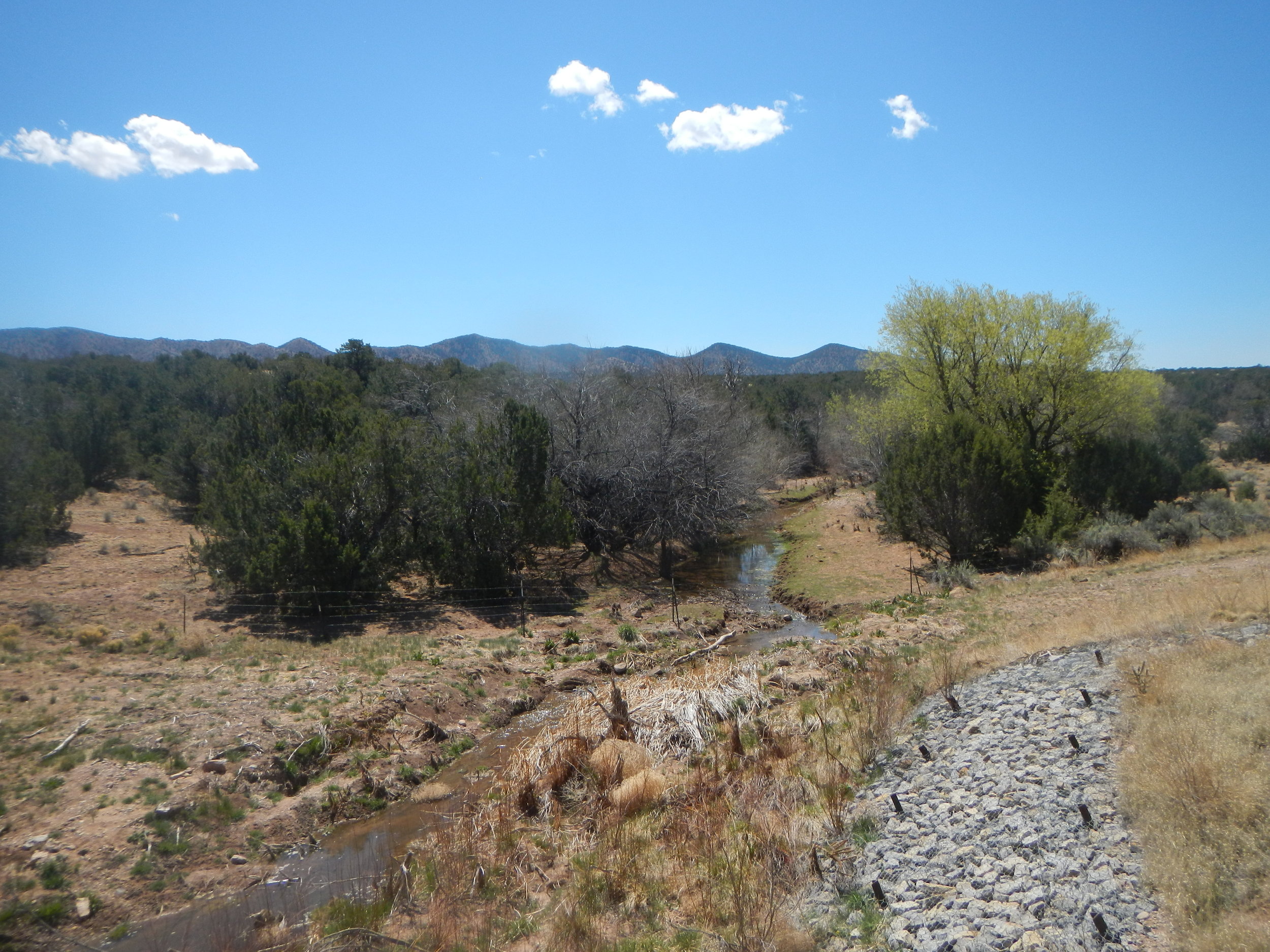
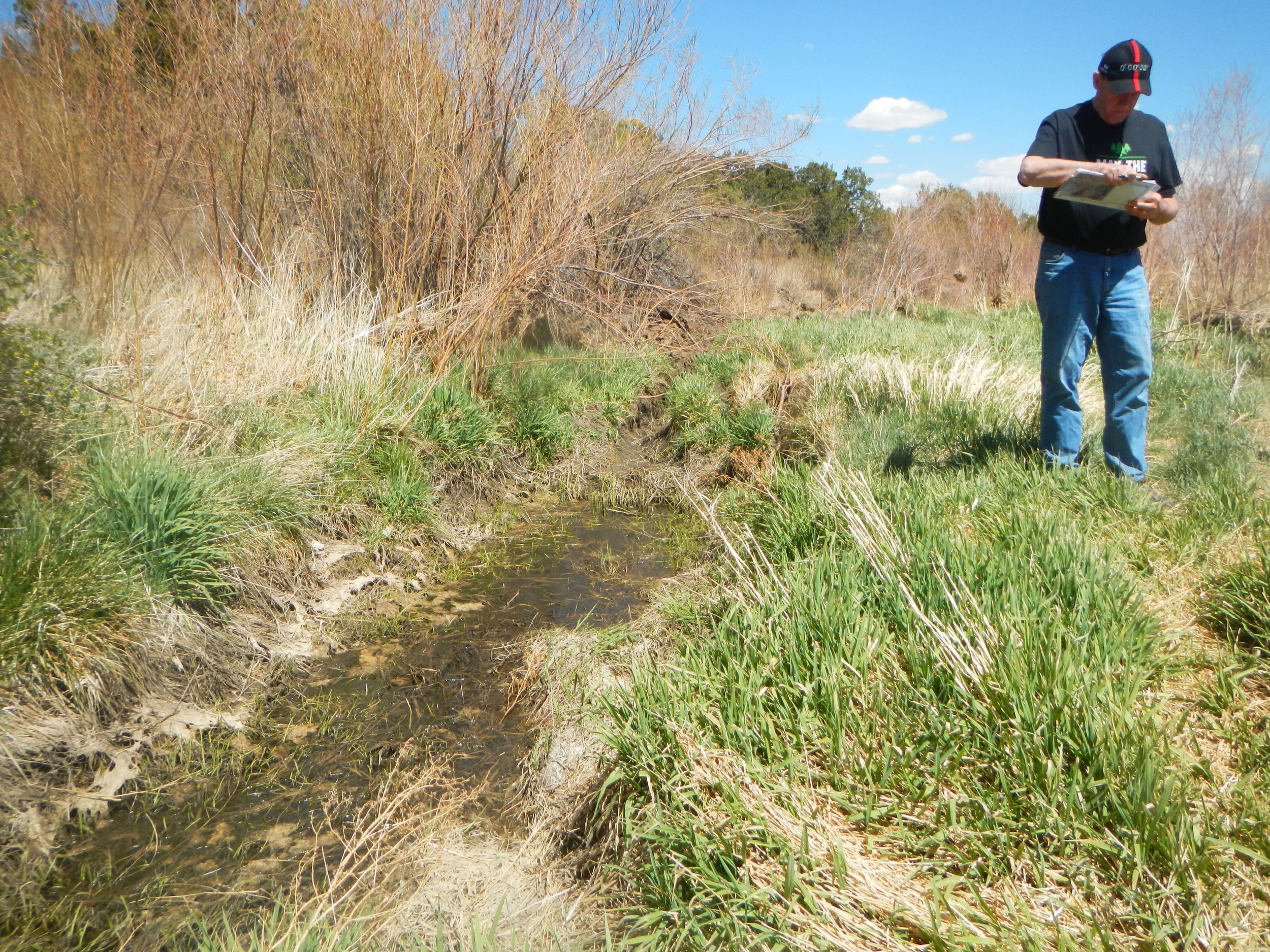
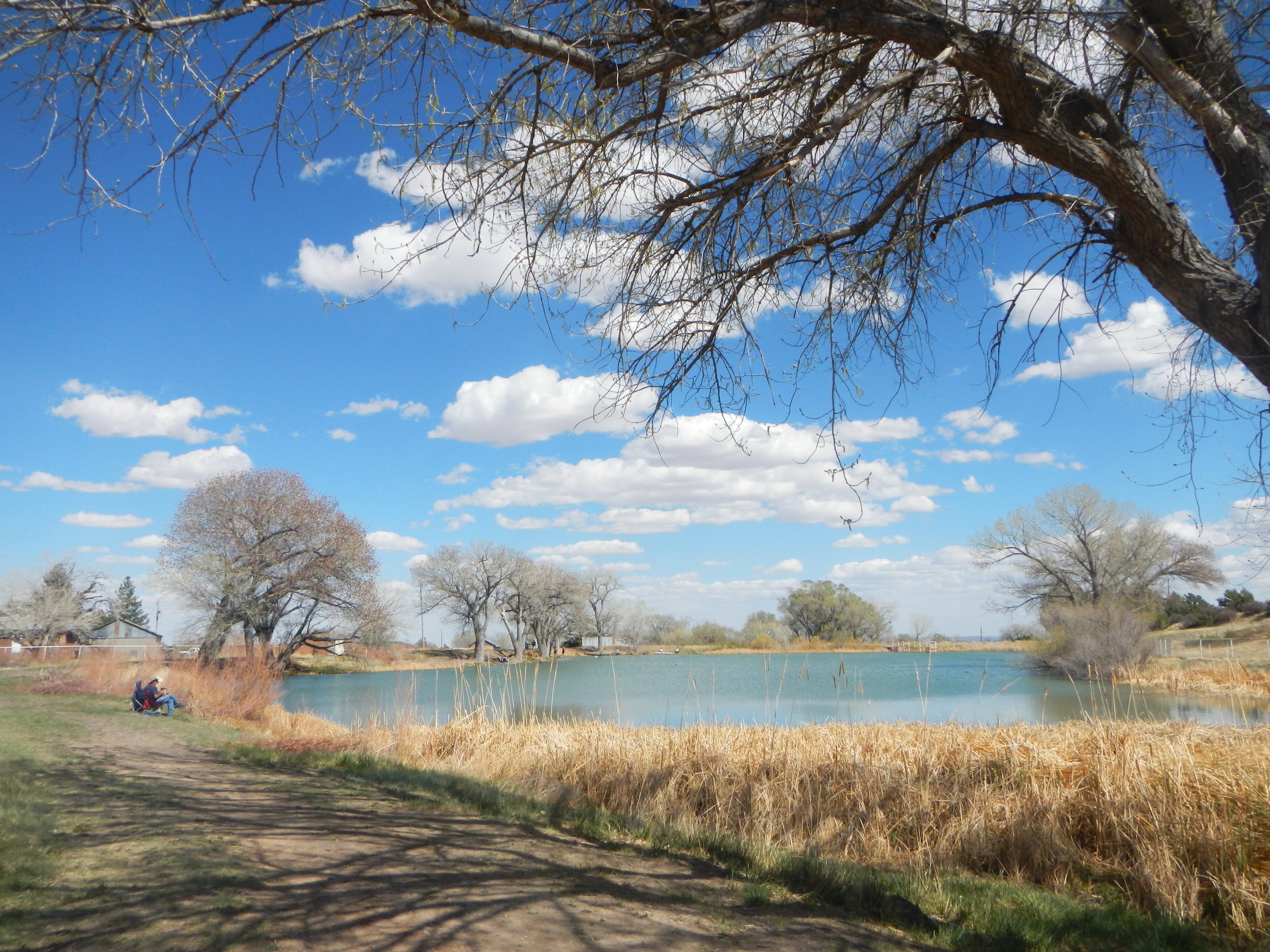
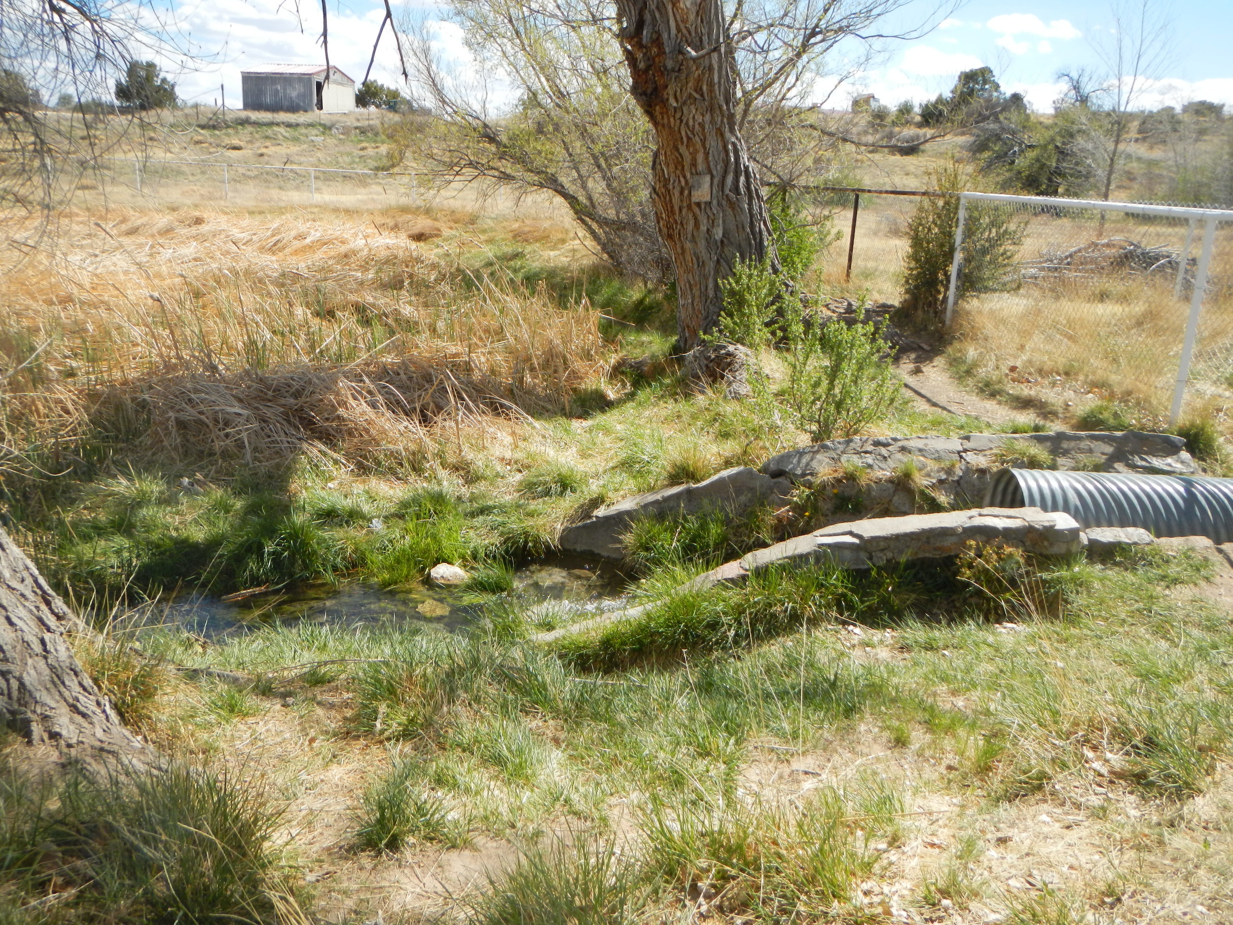
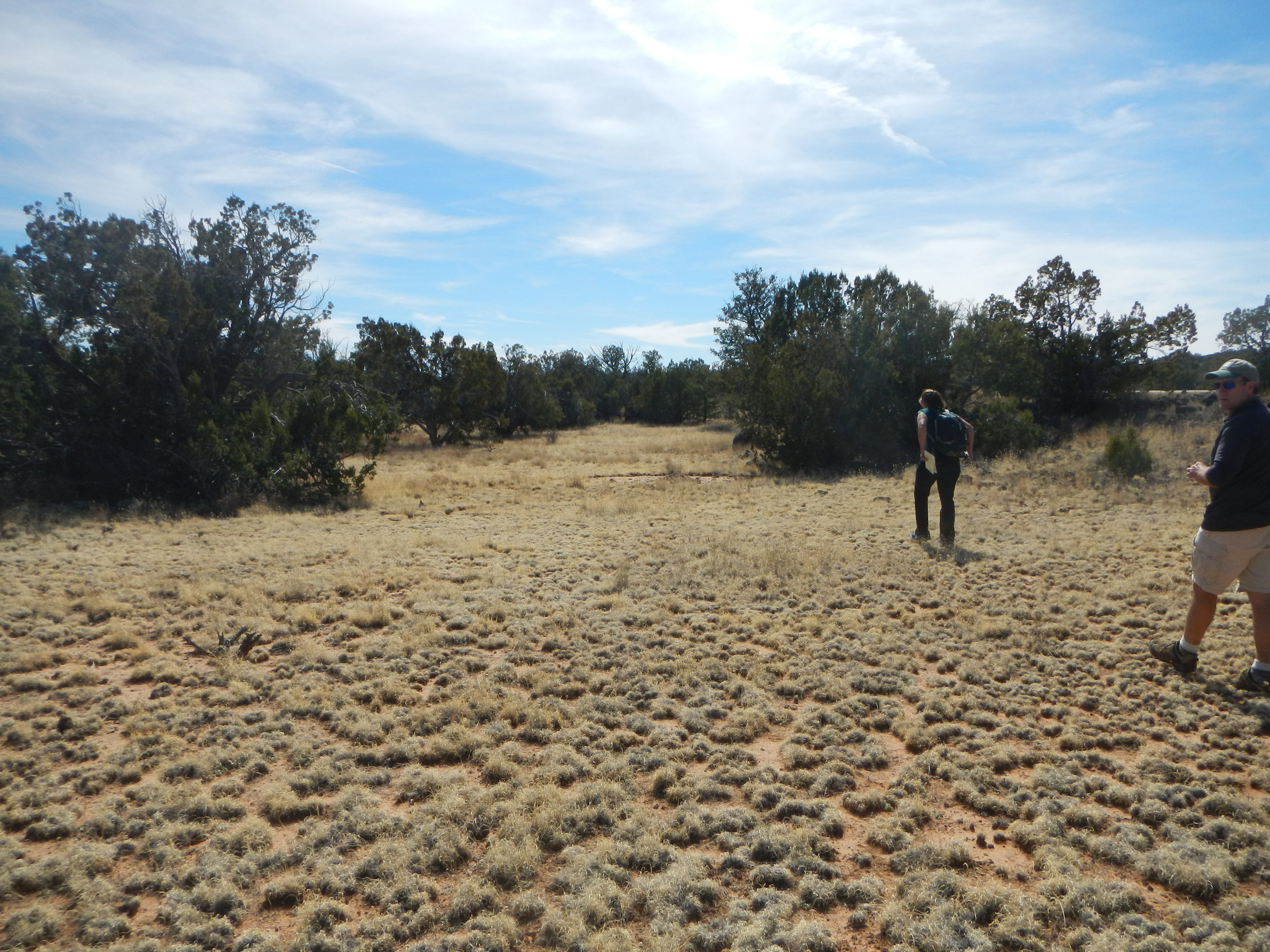
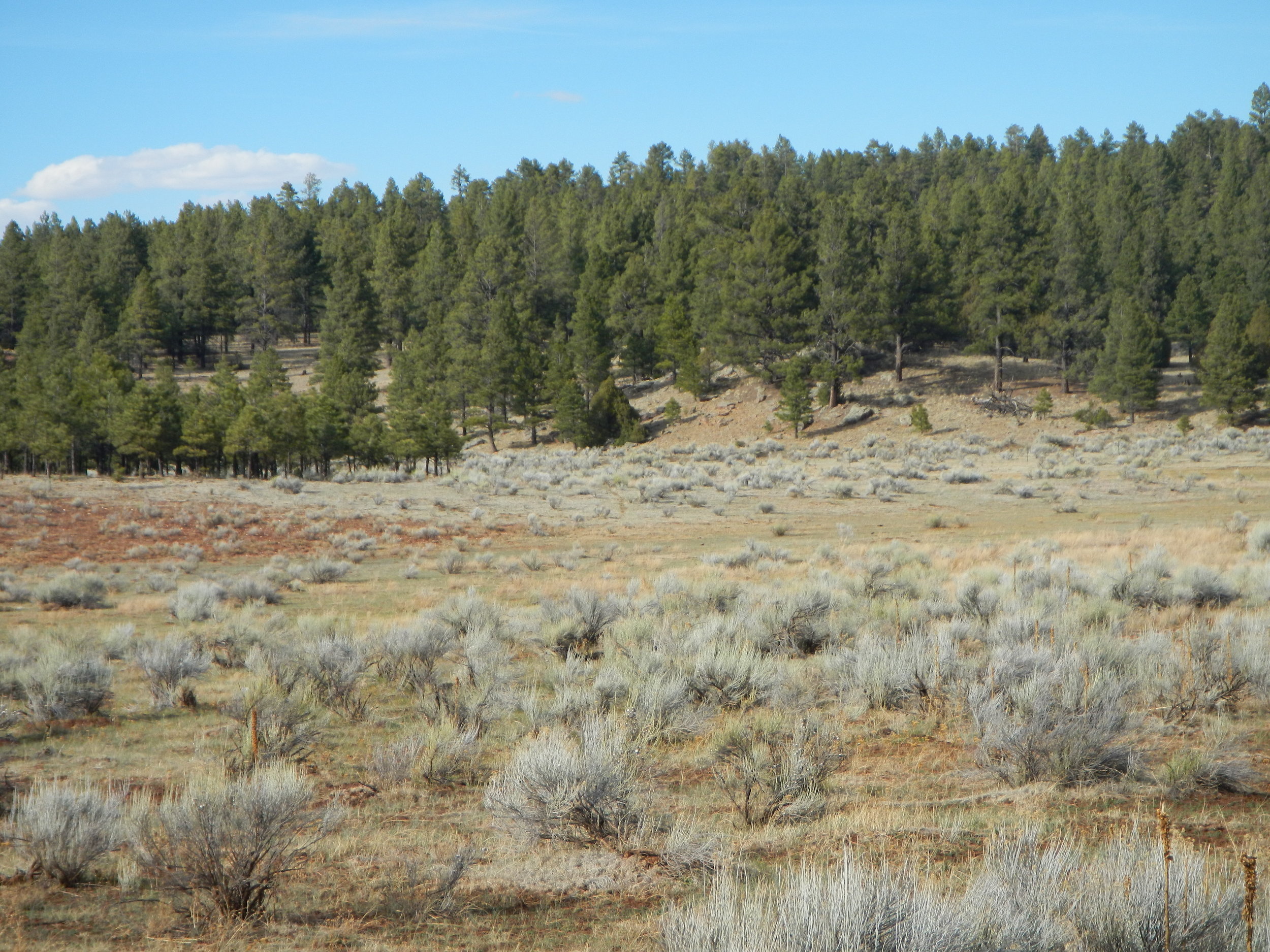
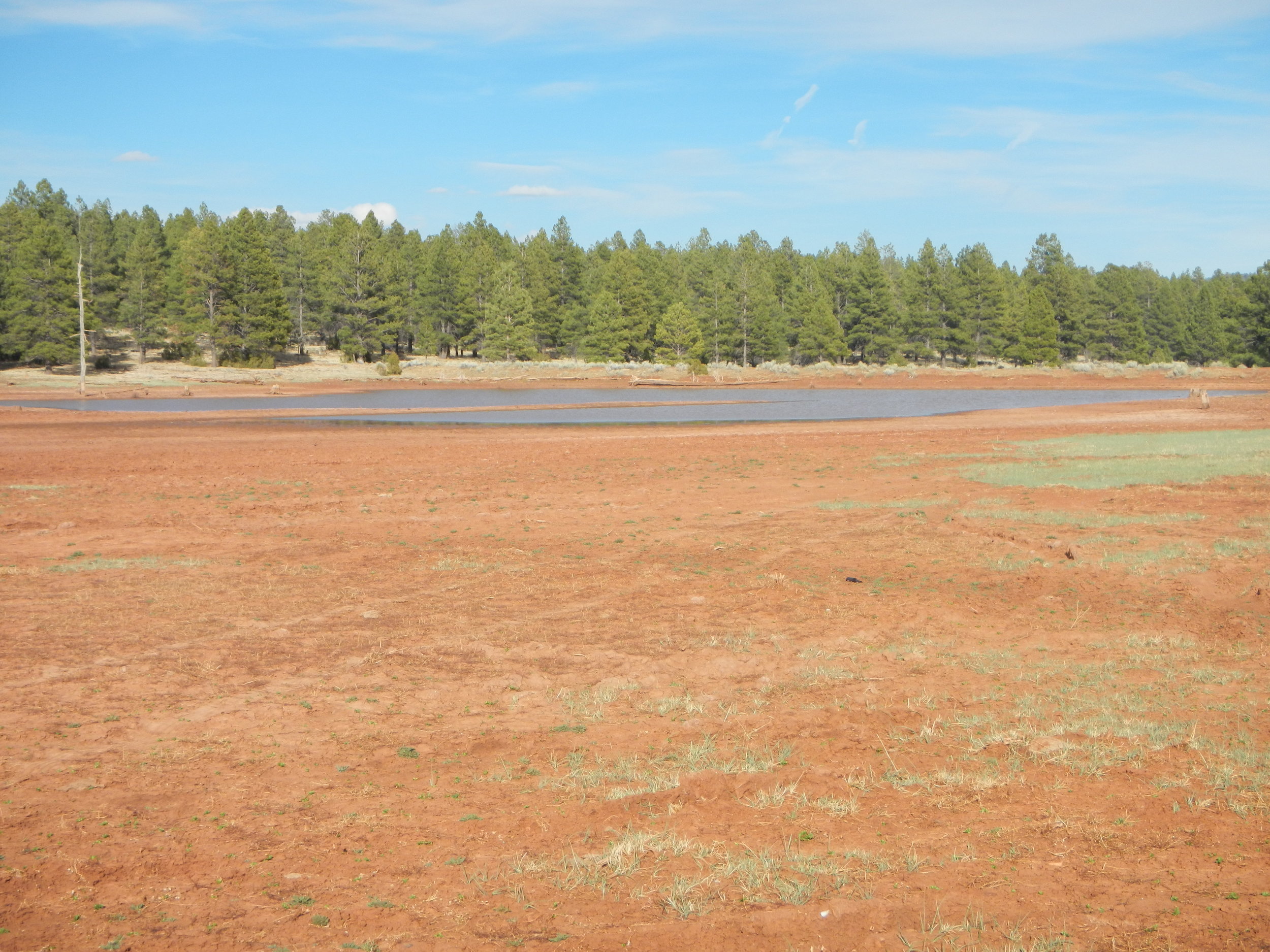
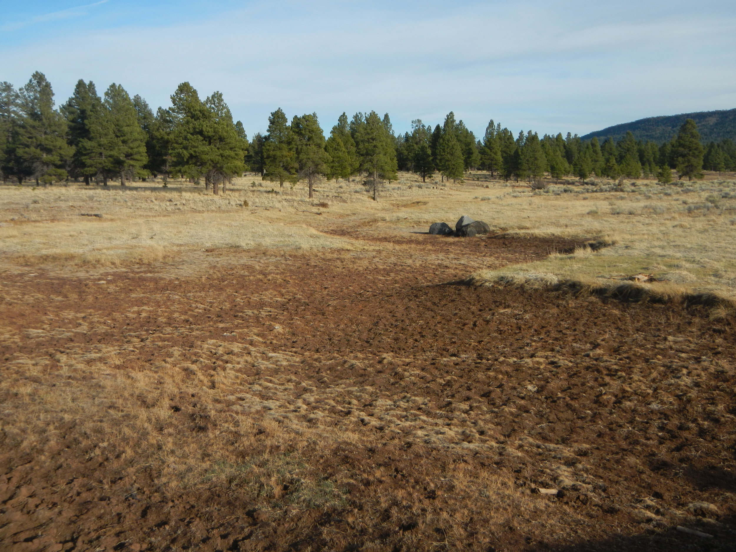
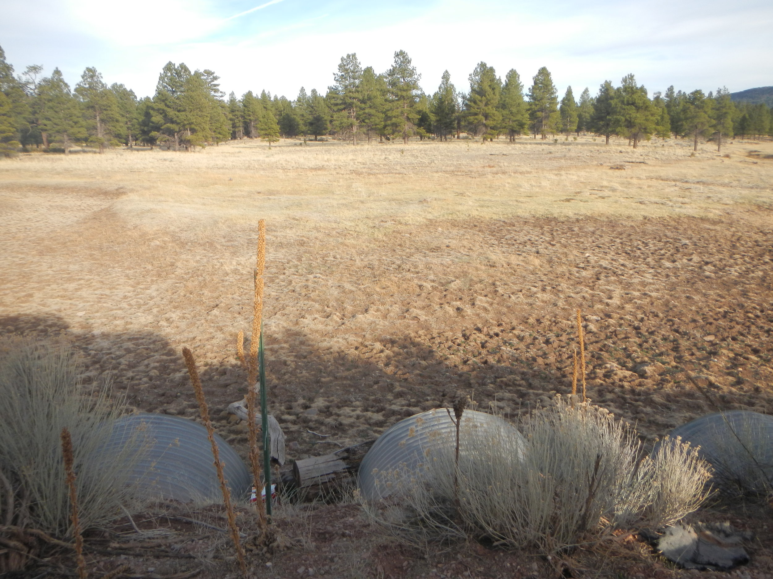
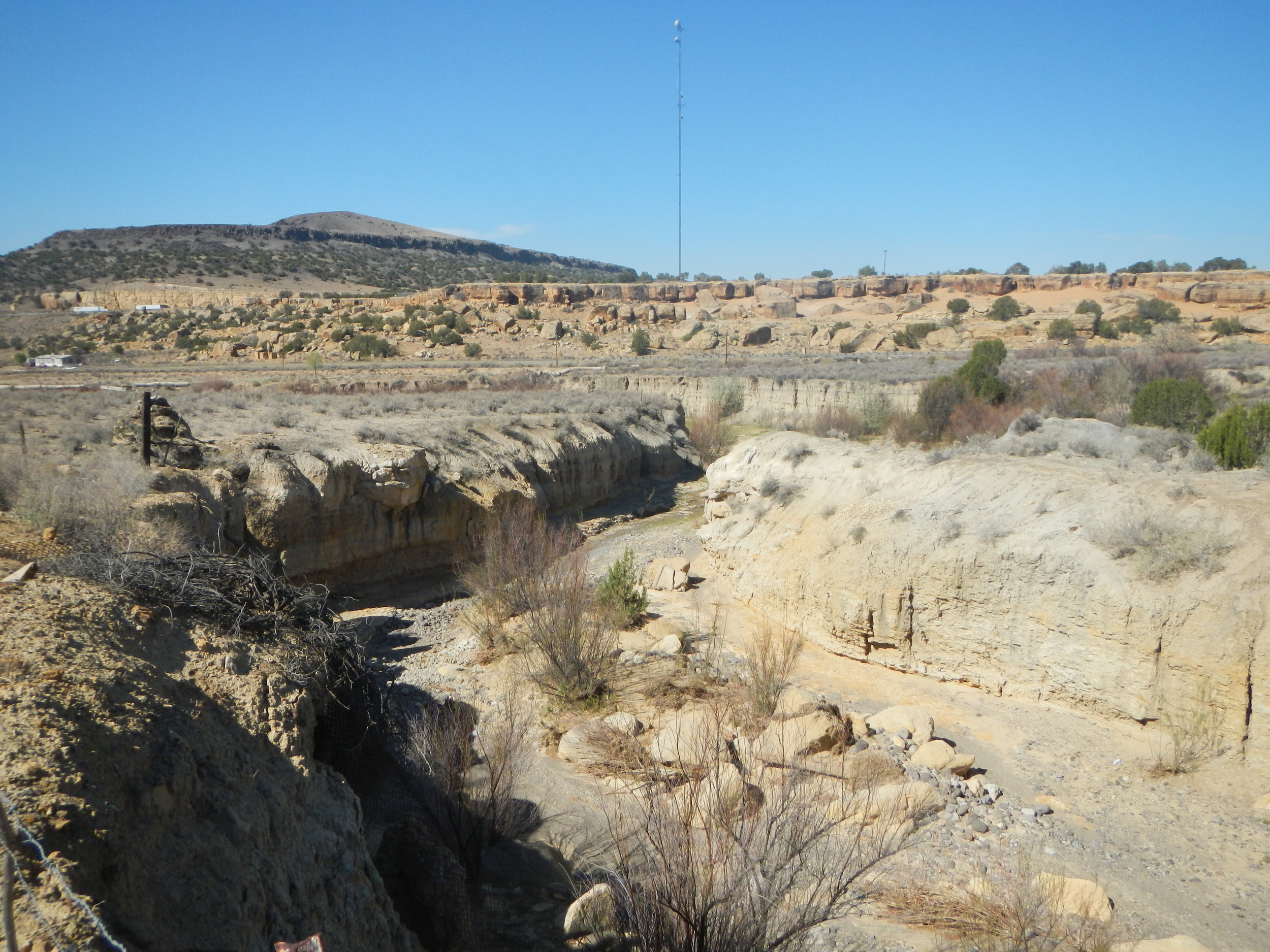
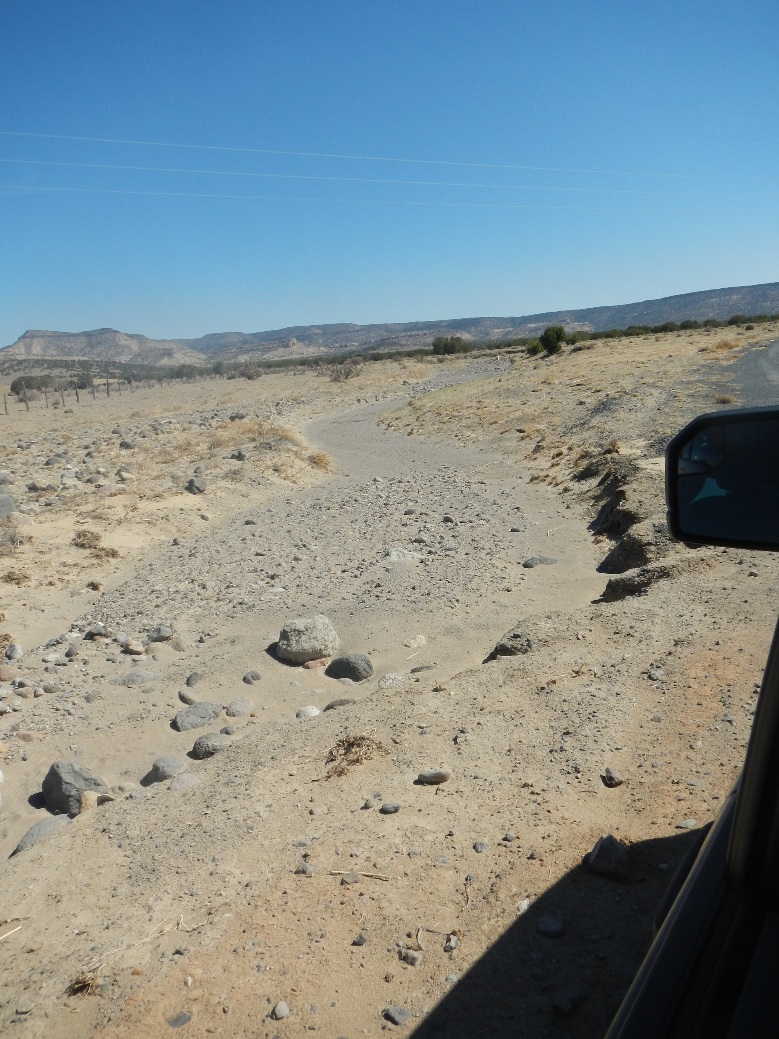
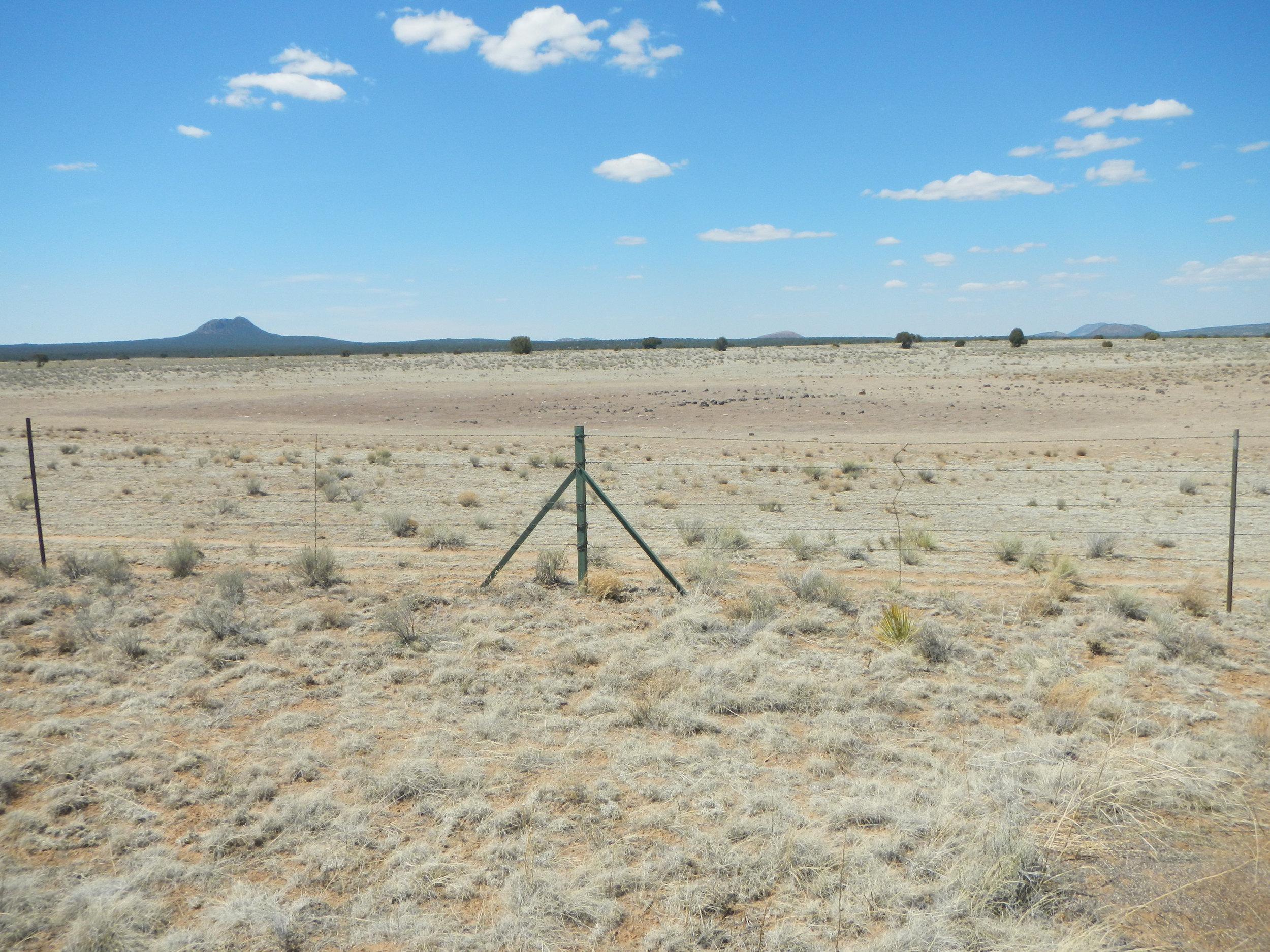
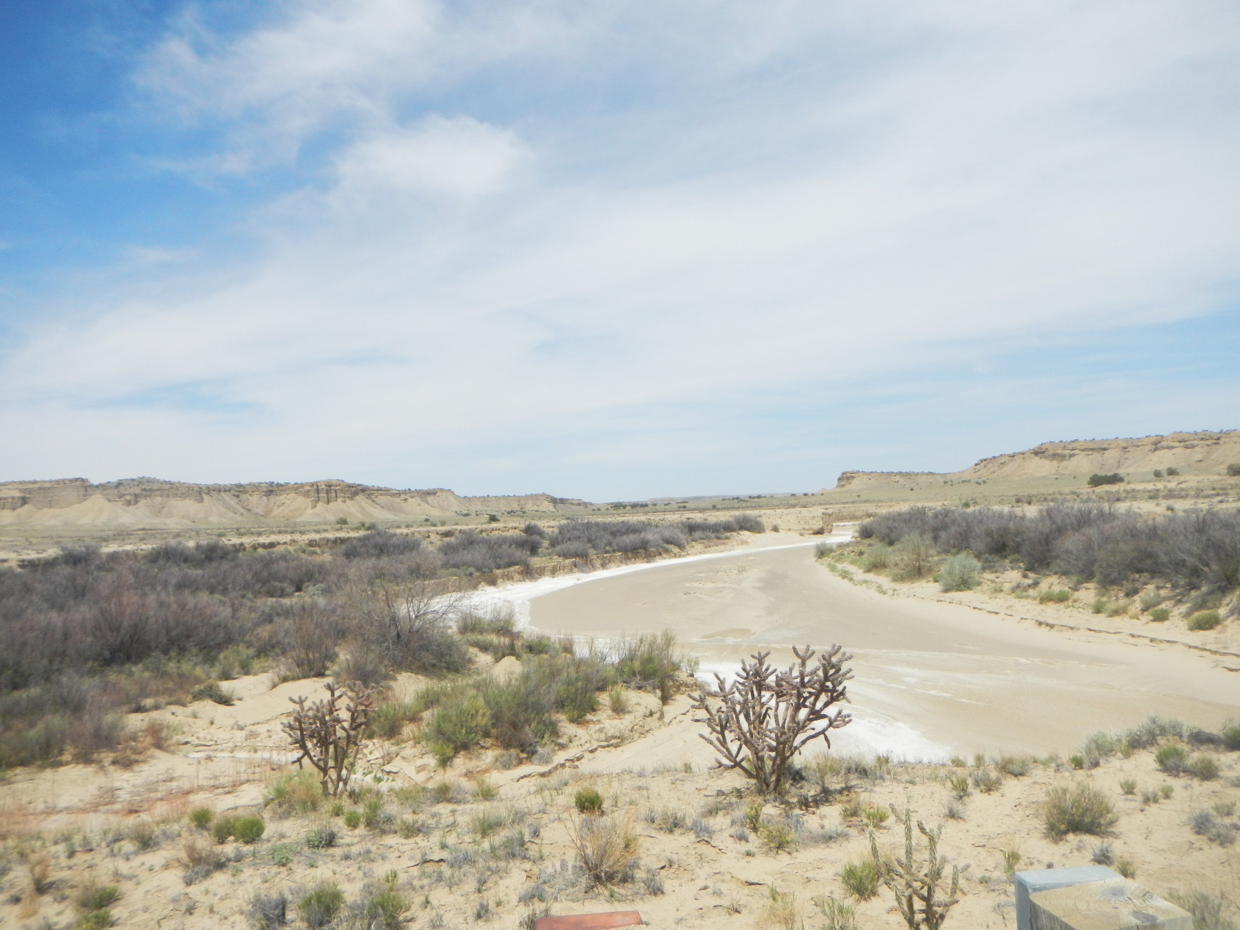
Andy Robertson and John Anderson just got back from a pre-mapping wetland fieldwork trip in the Middle Rio Grande region of western New Mexico. The two GSS staff members were joined in the field with two staff members from the NM Environment Department and one staff member from the U.S. Fish and Wildlife Service.
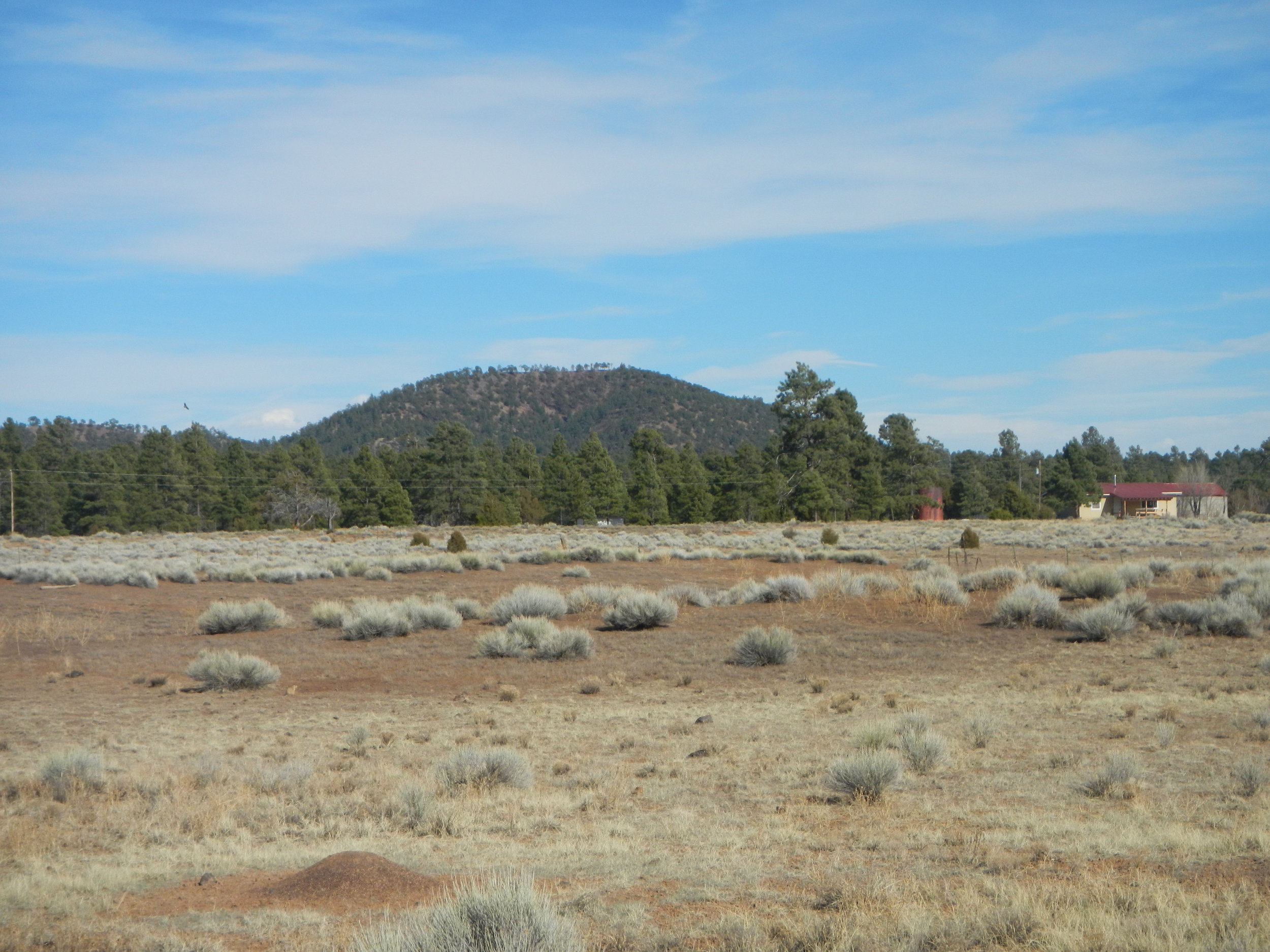
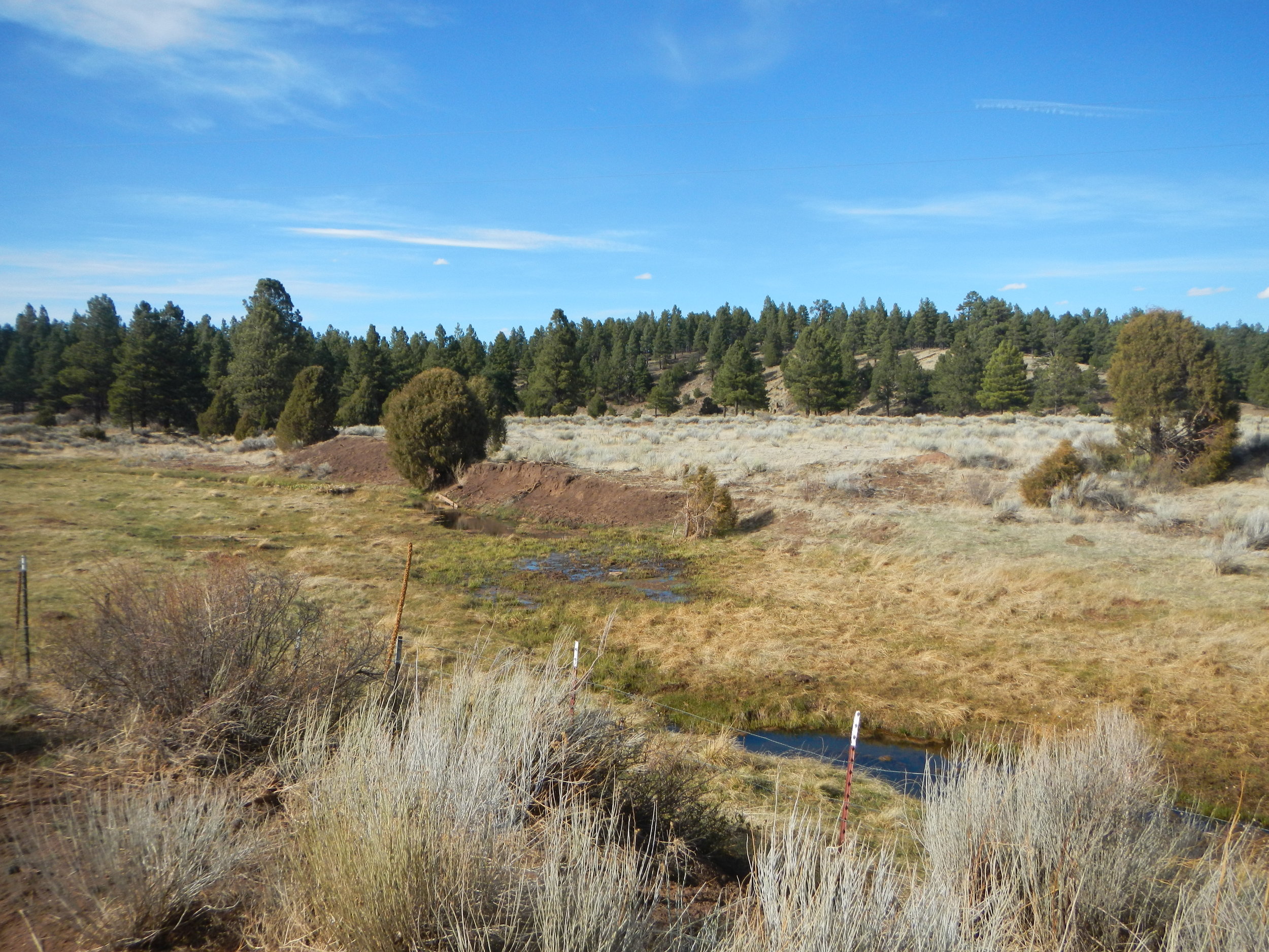
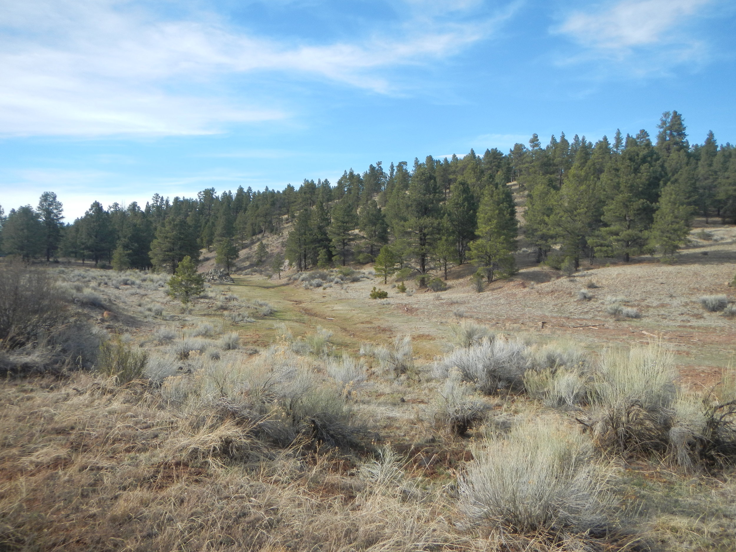
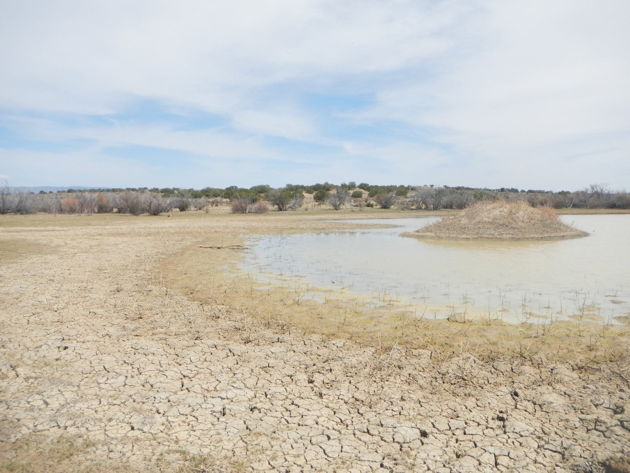
The goal of this trip was to visit pre-determined wetland sites to gain knowledge about the wetland landscape of the area. This knowledge will be taken back to the office and a 'wetland key' will be given to photo interpreters to guide them in creating modern wetland and riparian area data. When completed, this two-year project will result in the first-ever comprehensive wetland inventory for this five million acre region of the state!