

NEWS
GSS Spotlight!
KLAUS FRIEDLI
What is your education and professional background?
I'm from Marshfield, Wisconsin and I graduated from Marshfield Senior High in 2017. I'm currently a sophomore at the Saint Mary's University of Minnesota pursuing an Environmental Biology major and Criminal Justice and Zoology minors. I've had multiple jobs in the past that were in retail until my last summer before college when I worked for the City of Marshfield as a landscaper. I've also assisted in some ecological research, the removal of invasive species, and introduction of native plants all in the area of Winona County.
What led you to GIS? More specifically, how did you get to Saint Mary's University of Minnesota (SMUMN) in Winona?

I was very intrigued by the University because I was familiar with the area from visiting friends at Winona State University. The area of Winona blew me away, especially all the water and trout streams so close to the town and University. I was also recruited heavily for the Men's Varsity Soccer team after I attended an ID camp held at Saint Mary's University of Minnesota. After looking further into the school's Environmental Biology program and speaking with current professors I decided that it was a perfect fit for me. Before getting the job here at GSS, I had only a little knowledge on GIS from my Invasive Ecology course where we used it to map out where Japanese Barberry was in the bluffs behind the University and in Trempealeau State Park. Then Dr. Pauli emailed me about a summer job for GSS only a handful of weeks before the semester was over and after discussing it with Andy Robertson and my family, I took the internship. It was a big jump for me because it was only my first year of college and I was already going to be living on my own.
Explain briefly a project at GSS you've done that contributed to your overall knowledge and educational experience.
The project that myself and a group of other college students and technicians worked on this summer was for the Minnesota DNR. It was for the National Wetland Inventory and was a two year project mapping the wetlands of Northwest Minnesota in the Red River Valley, Detroit Lakes, and other areas like Itasca State Park. This project really opened my eyes to the world of GIS and all the different wetlands we can have in Minnesota. The majority of what I mapped was lakes, ponds, rivers, and floodplains. There was also a good amount of emergent vegetation mapping like cattails, reeds, and bulrushes that indicate that an area is wet. It was awesome to be able to identify all these areas and map them by creating polygons using tools like previous maps, lidar, and infrared coloring.
How do you see GIS fitting into your future?
I plan on working for GSS throughout my college career here at Saint Mary's University because it is a great job that gives me a lot of experience in an important field. This application has so many uses that it will look really good for any job in the environmental field that I may apply to in the future. I hope for finding a job in the National Parks Service or DNR and although I may not be working directly with GIS in my job, I am positive I'll run across it and have to use it in any job I have.
Where can we find you outside of GSS?
The mostly likely place you'll find me is on some stream here in the Driftless Region of Minnesota. I love to fly fish and if my busy schedule allows some free time, I try to get out and try my luck. Other than that I've been skiing various mountains this winter break because that is my second favorite hobby, but it can be hard to do it around Winona when we don't have much snow on the ground. I also tend to be on the soccer field and weight room a lot because I am one of the many college athletes here at Saint Mary's. The last thing I love doing is just spending time with my friends everyday outside of class and enjoying the weekends here in Winona.
BLM Fieldwork Kicks Off
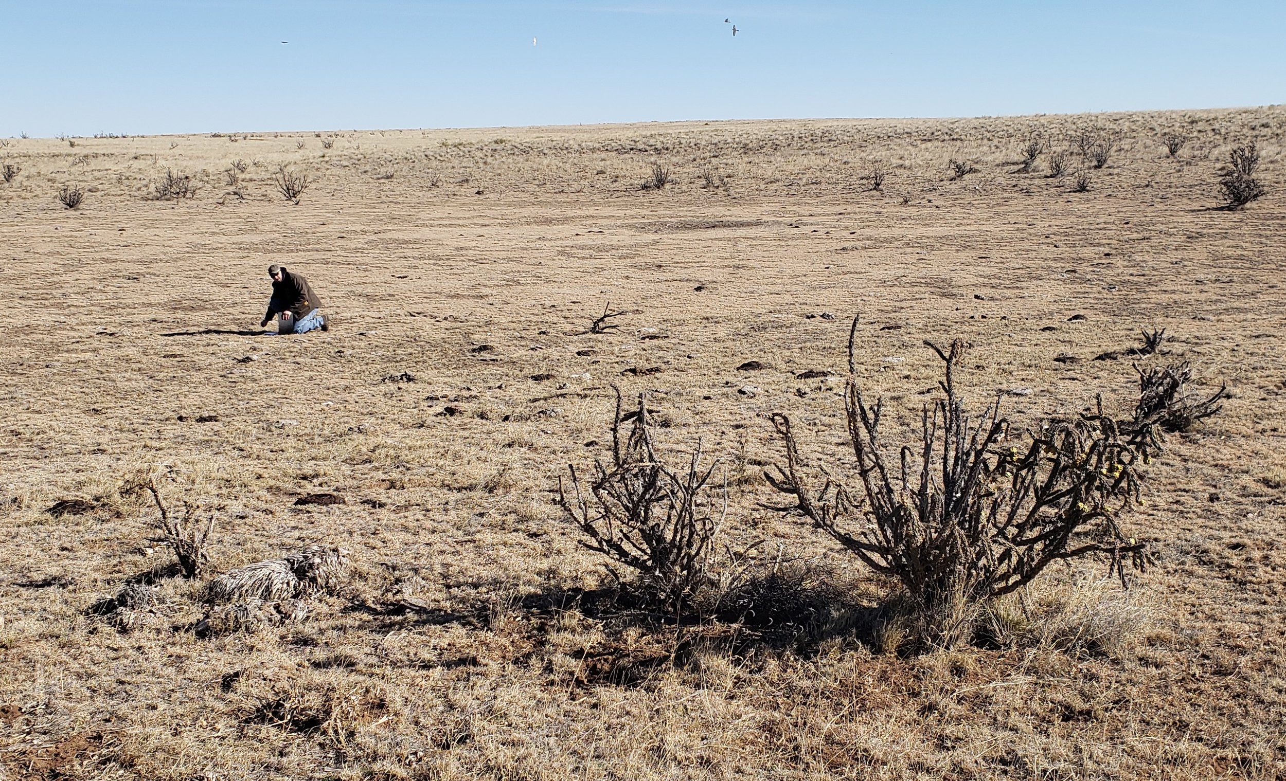
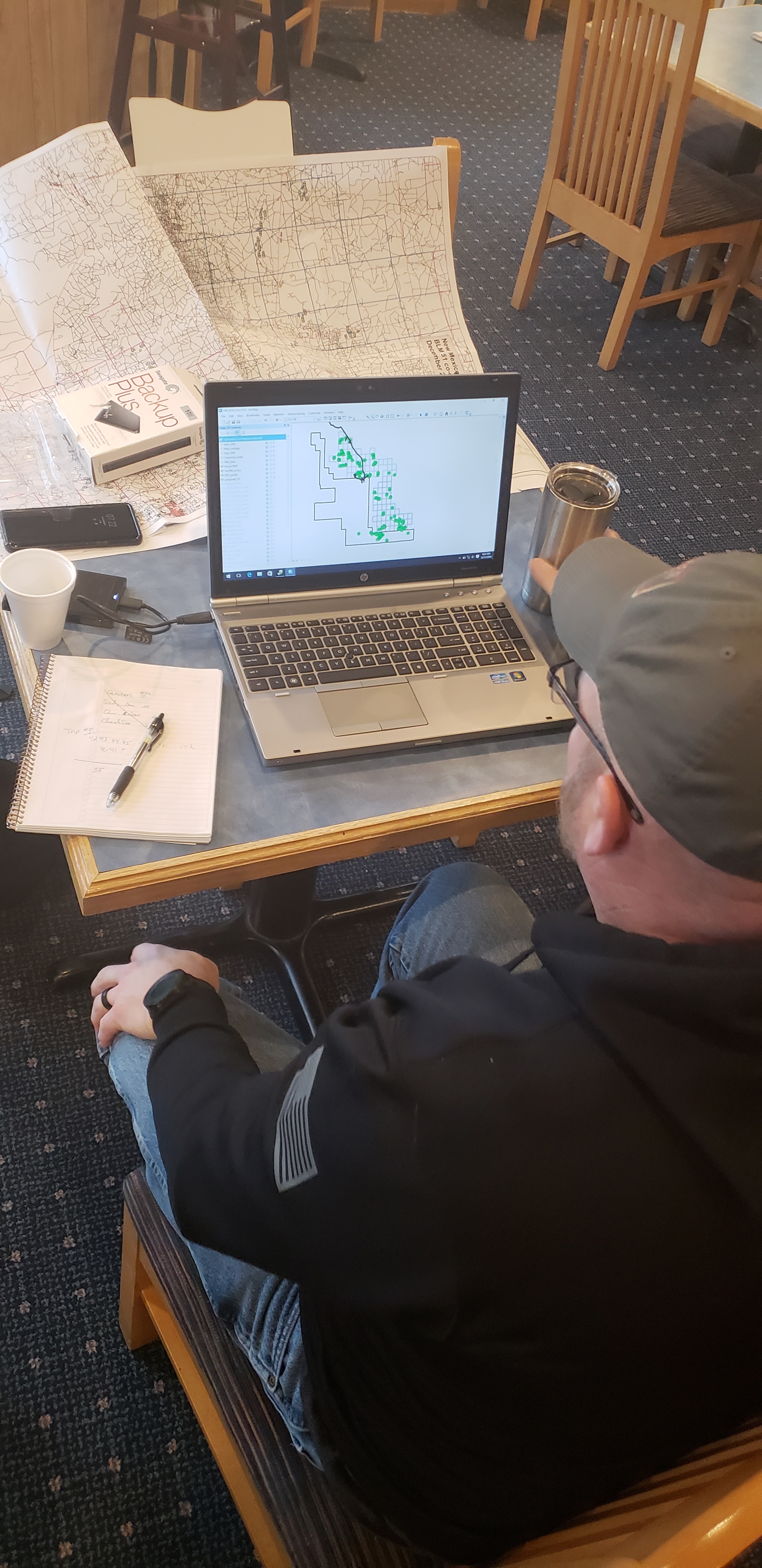
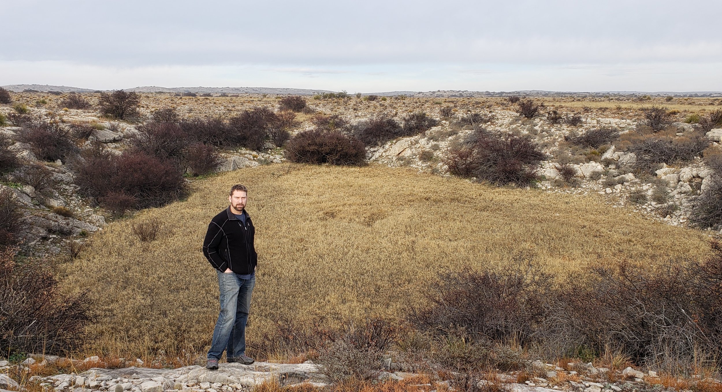
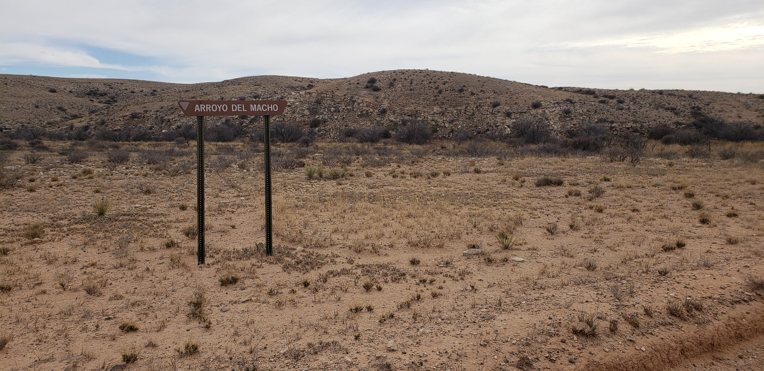
GSS was recently selected by the Bureau of Land Management to create wetland and riparian inventories for BLM-administered lands in the western United States and Alaska (see New Projects). This project includes work in New Mexico, Wyoming, Nevada, California, Utah, Idaho, Oregon, and Alaska.
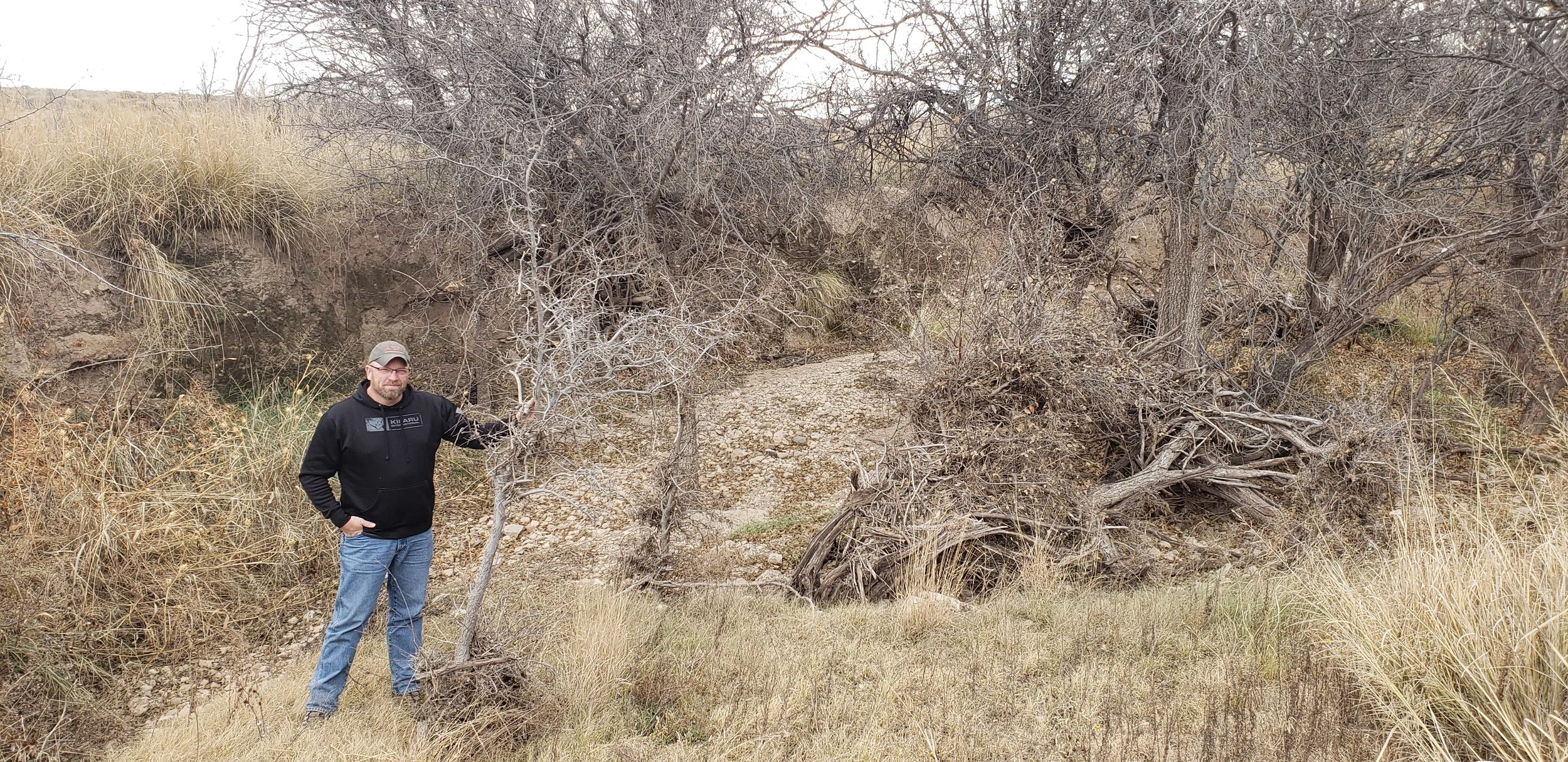
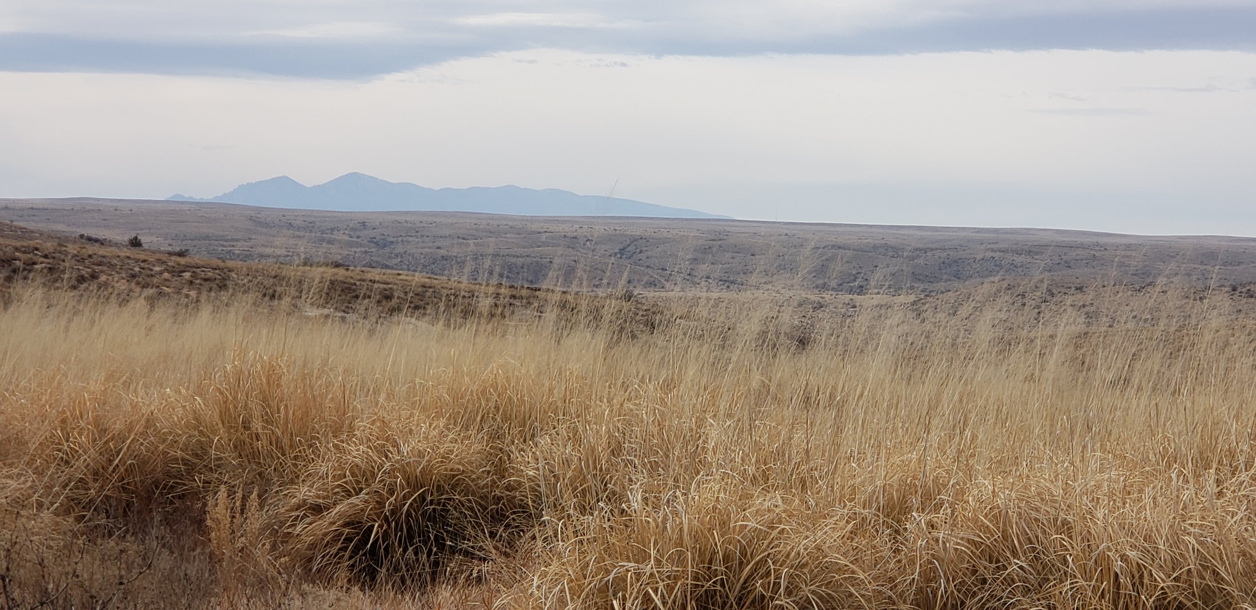
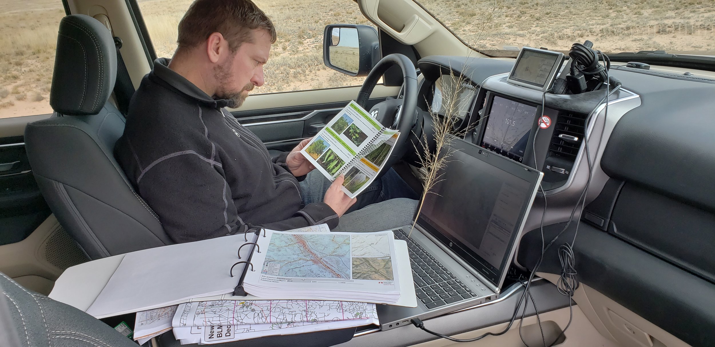
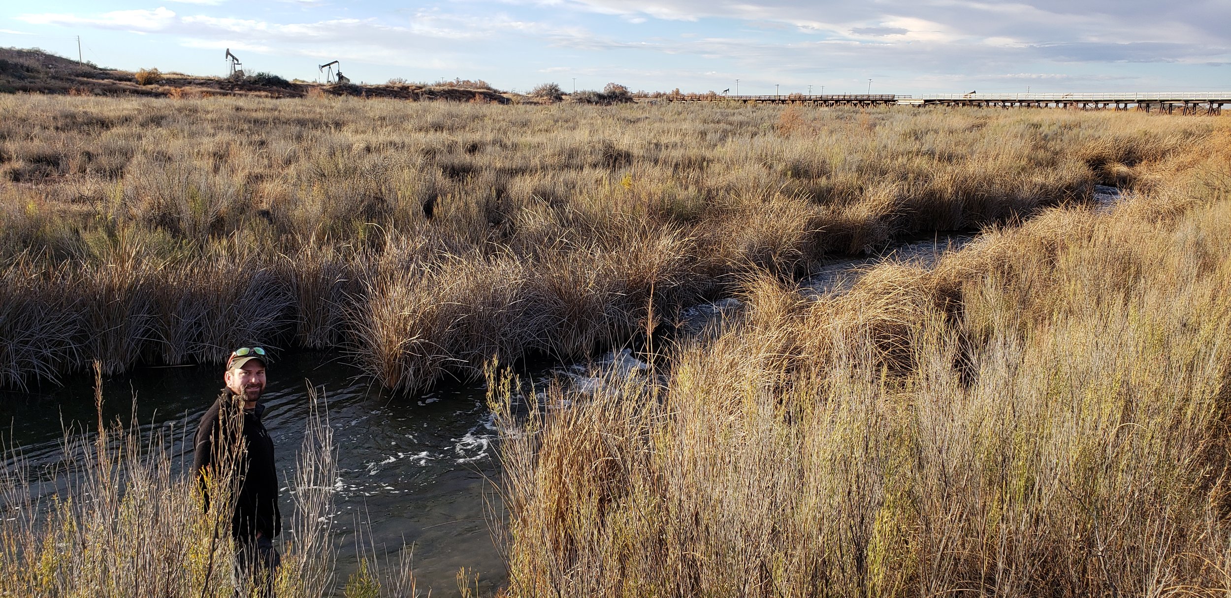
During early December, Kevin Stark and Eric Lindquist of GSS traveled to Southeast New Mexico for wetland field verification. They visited select wetland sites in recently mapped areas of Southeast New Mexico (South of Albuquerque and east of the towns of Roswell, Carlsbad, New Mexico). This area reaches east and south to the Texas border, covering parts of the Permian Basin which is located in western Texas and southeastern New Mexico. The Permian Basin gives its name to the large oil and natural gas production in the area. The Permian Basin is also a major source of potassium salts (potash), which are mined from bedded deposits of Permian age.
The team verified and confirmed preliminary mapping done by GSS and worked to learn more about the newly created LLWW key for inland wetlands of the Western U.S. This information is then processed and mapping will be adjusted for project completion.
Mapping has also begun in the Wyoming project area and continues to keep staff and student interns busy at Saint Mary’s University.


Regional LLWW Keys for the Western U.S. Completed
GeoSpatial Services is pleased to announce the publication of a set of regionalized keys to LLWW for inland wetlands of the Western U.S. LLWW is a wetland classification system based on Landscape Position, Landform, Water Flow Path, and Waterbody Type. This document represents more than a year of collaborative work by GSS and the Colorado Natural Heritage Program, with input from the Utah Geologic Survey. The project partners spent countless hours on the phone and in a shared Google document attempting to craft LLWW keys that could be applied consistently for most common situations in the Western U.S. These keys are based on the principles of Ralph Tiner’s most recent (2014) LLWW Keys, but simplify and clarify potentially confusing codes and add greater detail on the coding of common western wetland types. Next, the collaborators will be working to build an image library of air photos of wetlands mapped with NWI and this LLWW attribution. The new keys can be found at this link: https://cnhp.colostate.edu/download/documents/cwic_docs/LLWW%20Key%20for%20Inland%20Western%20US_vDec10_2018.pdf

An illustrated example of LLWW codes and modifiers for common situations in the western U.S.
GSS Spotlight!
TOAN TRAN
What is your education and professional background?

I am an international student from Vietnam. I first came to the U.S. in my senior year and graduated from Mt Tahoma high school in Tacoma, WA. After that, I started my post-secondary education at Saint Mary's University of Minnesota and am currently in my final year. I major in Physics/Engineering Science with minors in Mathematics and Computer Science. My junior year marked the beginning of various experiences where I gained valuable skills and knowledge, including working at GSS. The highlights for me are my research project with Dr. Demian Cho on information processing with respect to criticality and the CPBF summer school program at Princeton University over last summer, which contributed greatly to my commitment to go to graduate school.
What led you to GIS? More specifically, how did you get to Saint Mary's University of Minnesota (SMUMN) in Winona?
As I was searching for a suitable university, SMUMN was recommended to me by a close friend of our family who was attending the university at the time. Ultimately, I chose Saint Mary's as my home for the next 4 years of my life. Also through her recommendation, I applied for a job in the admissions office at SMUMN and worked there for 2 years. It was a good experience but I wanted to find something more in line with my interest and personality. I then found out about the GSS summer work opportunity and have been working with GIS ever since.
Explain briefly a project at GSS you've done that contributed to your overall knowledge and educational experience.
The project I am currently working on involves mapping various wetland landscapes in Wyoming. This is the first project in which I started learning about using Google Earth Pro in conjunction with the given collateral data to aid the processes of delineating and attributing the wetlands. It taught me the benefits of going beyond the basic tools, which is particularly substantial in this line of work due to the importance of accurate data.
How do you see GIS fitting into your future?
Although GIS may not be a part of my career goals, my time at GSS has been a valuable working experience. It enhances the diversity of my experience with data analysis as well as my capacity for adopting new technology and working as part of a project team, which is extremely useful no matter what line of work I ultimately pursue.
Where can we find you outside of GSS?
Outside of GSS, I normally would be in my room in Brother Leopold residence hall or the Science & Learning Center and Saint Mary's Hall. In my free time, I like to watch movies, play Ultimate Frisbee or basketball, and hang out with my friends.
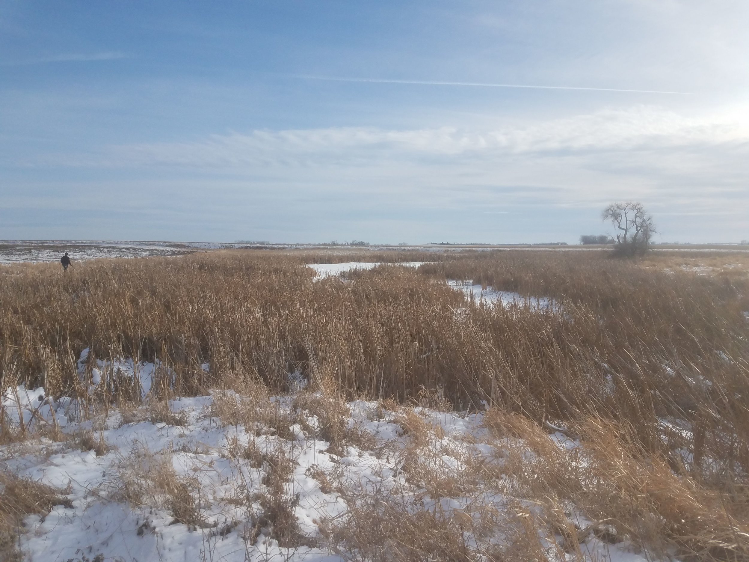
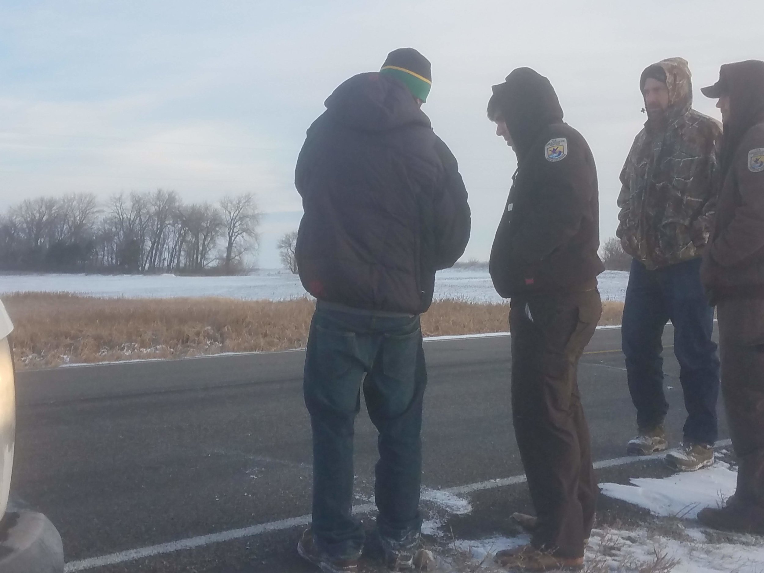
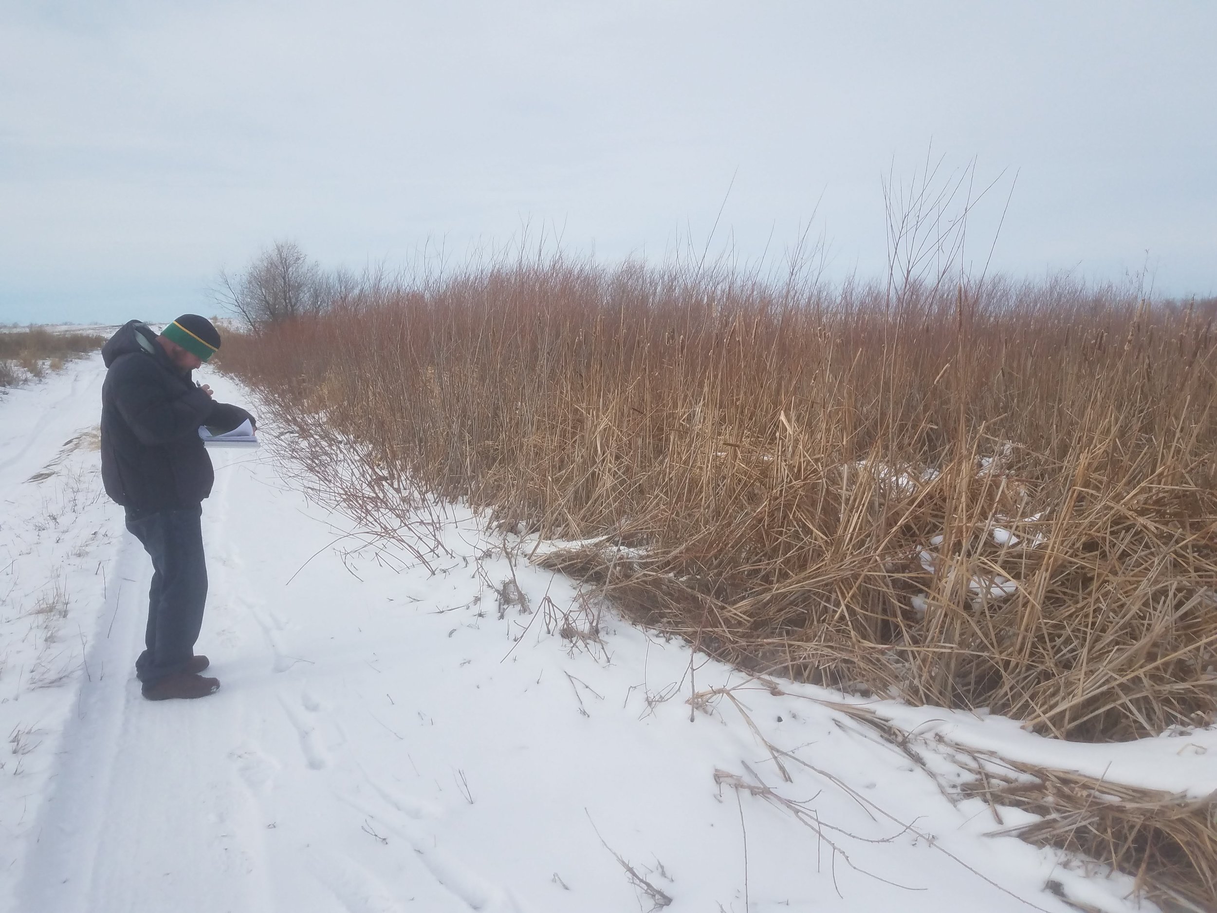
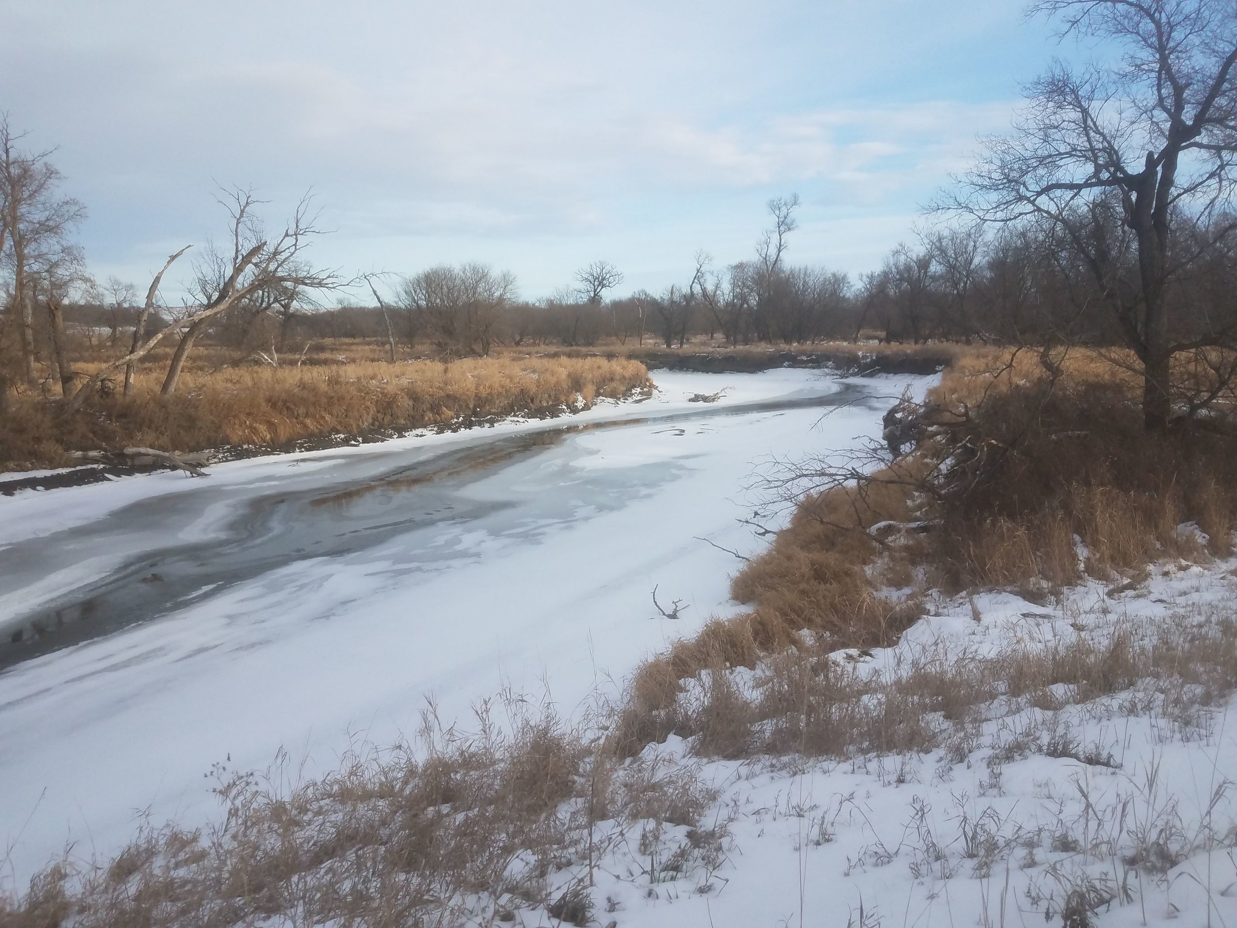
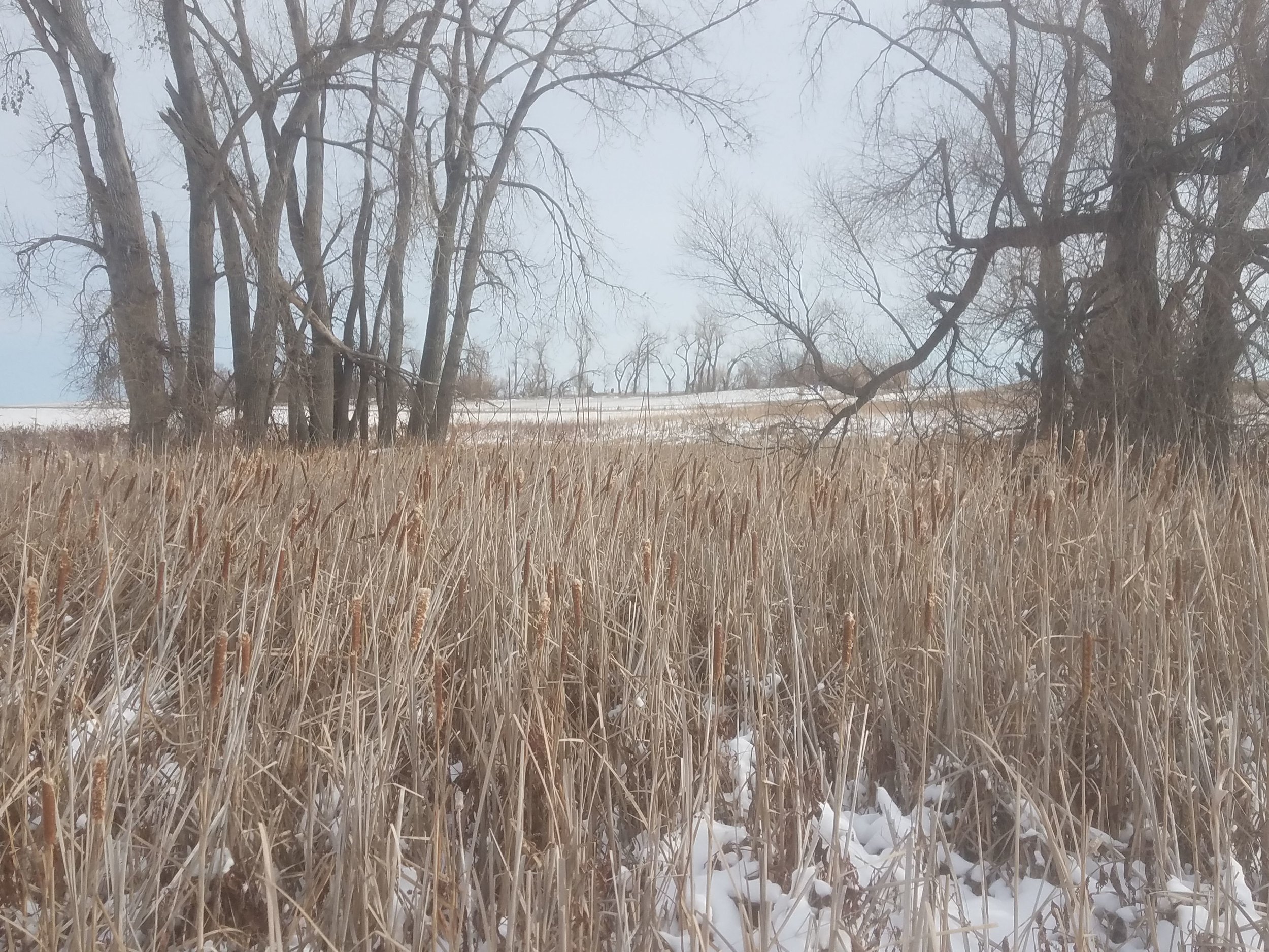
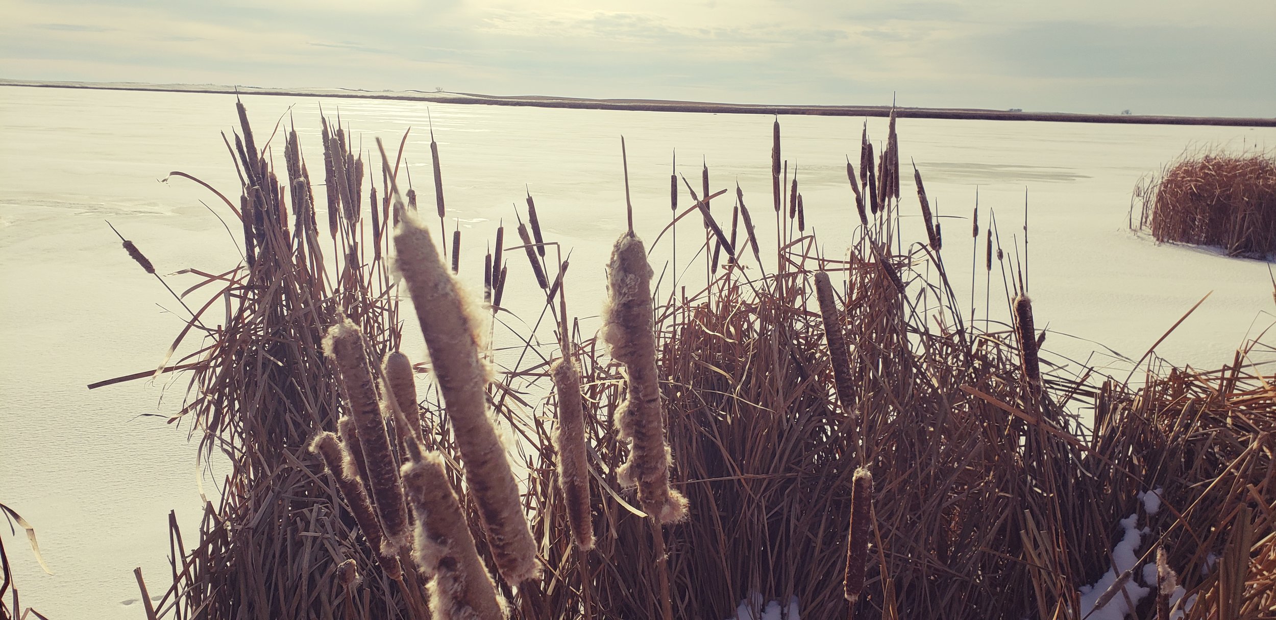
North Dakota NWI Project Kicks Off
During the week of Nov. 12-15, GeoSpatial Services (GSS) staff members Kevin Stark, Nick Lemcke, and Al Rabine traveled to North Dakota as they conducted fieldwork and met with U.S. Fish and Wildlife Service (USFWS) officials regarding the current National Wetland Inventory (NWI) update. The scoping meeting, held at the USFWS office in Devils Lake, N.D., included discussions of mapping the prairie pothole region, farmed areas that have been heavily ditched/drained, soil conditions including saline and sodic soils, and other unique areas. The first series of NWI updates will include seven counties in northeastern North Dakota. GSS staff members were able to get out in the field to check pre-selected sites and analyze preliminary wetland classifications, identify vegetative species, and examine aerial photo signatures.

GSS Spotlight!
MORGAN LARSON
What is your education and professional background?
I started college at Central Lakes College in my hometown of Brainerd. I graduated from CLC in 2016 with my A.A. degree and then transferred to the University of Minnesota Duluth. I graduated from UMD in the Spring of 2018 with a degree in Geography and GIS. I am currently enrolled in the Data Intelligence and GeoAnalytics M.S. program here at Saint Mary's University. I have worked with the Geospatial Analysis Center at UMD, as a GIS tutor and teaching assistant, and with the St. Louis County Enterprise GIS team in Duluth. I spend most of my summers working at a zoo in the Brainerd Lakes Area.
What led you to GIS? More specifically, how did you get to Saint Mary's University of Minnesota (SMUMN) in Winona?
I have always been interested in maps and the places they will lead you. I grew up navigating my family on trips, which eventually led to my love of Geography. During my time at Central Lakes College, I took an introductory course on GIS and instantly knew that it was the right career path for me. I chose to complete my Master's degree at Saint Mary's University in Winona because of the small town feel and overall flexibility of the program.
Explain briefly a project at GSS you've done that contributed to your overall knowledge and educational experience.
Since starting at GSS in September, I have worked on creating and reshaping channels across the Kuskokwim region of Alaska. This project has helped me to take the skills I have learned from my classes and apply them to real world GIS applications.
How do you see GIS fitting into your future?
After graduation, I hope to find a job in the GIS field, either working in the environmental sector or as a cartographer.
Where can we find you outside of GSS?
Outside of GSS, you can find me in Winona, Brainerd, or Duluth. In my free time I enjoy hiking, canoeing, biking, spending time with family and friends, and travelling.
GSS Spotlight!
NICK SHELQUIST
What is your education and professional background?

I am a senior undergrad at Saint Mary’s University, majoring in environmental biology and minoring in leadership. I have worked in the food industry, non-profit youth development, political canvassing and ecological research.
What led you to GIS? More specifically, how did you get to Saint Mary's University of Minnesota (SMUMN) in Winona?
My academic advisor recommended that I take an intro to GIS class, and I saw the necessity of digital cartography in our collective future. With my interest in natural systems, the new geo mapping technologies have opened the door to many new ways of modeling and managing the earth.
Explain briefly a project at GSS you've done that contributed to your overall knowledge and educational experience.
While I was involved with the National Wetland Inventory of Minnesota, I was able to look closely at the many different landscapes of western Minnesota near the Red River valley. I got to see through satellite imagery the large–scale patterns of lakes, rivers, and floodplains, and their related plant communities. I learned to identify and separate areas of emergent vegetation like bulrush from floating vegetation like lily pads and algae blooms through the use of color infrared imagery. My understanding of geographical patterns of division in plant communities increased greatly.
How do you see GIS fitting into your future?
GIS is a powerful new technology with limitless applications. I could use it in city planning by predicting areas of flood risk, or research plant community boundaries or animal habitat ranges. The limit is our imagination with this program.
Where can we find you outside of GSS?
I will be in the gym or in the library, studying and catching up on the news. Sometimes at Ed’s bar watching live music!
GSS Spotlight!
KATHERINE ETHEN
What is your education and professional background?
I graduated from Pacelli Catholic High School in Austin, MN and am now a senior at Saint Mary's University, studying Environmental Biology. In the summer of 2017 I worked at Cascade Meadow in Rochester, where I helped clean up some of the invasive plants they have. Last summer I was able to start working at GSS and continued working there once school started up again. Both of these opportunities have been student internships through Saint Mary's.
What led you to GIS? More specifically, how did you get to Saint Mary's University of Minnesota (SMUMN) in Winona?
My dad and several other family members all graduated from Saint Mary's, so I already knew about it and was familiar with the campus. I was also originally planning on being a theater major, which they have a very good program for. I did end up switching to environmental biology at the beginning of my sophomore year and was first introduced to GSS during a GIS mapping class. Andy Robertson came and talked about the projects they were doing, as well as his visits to Alaska which really peaked my interest. When the school started sending out emails about a summer internship working there, I was very excited to start working (even though I knew it didn't mean a trip to Alaska!).
Explain briefly a project at GSS you've done that contributed to your overall knowledge and educational experience.
The first project I worked on was part of a 2 year project that covered northwestern Minnesota. It was my first time working with GIS outside of class and it helped me get a better idea of how it worked. I also learned a lot about different types of wetlands and waterways, and how those are categorized.
How do you see GIS fitting into your future?
I'm not sure yet! I know that it can be used in a whole range of fields for a lot of different reasons, so just having a better understanding of it will be super helpful for whatever I do end up doing.
Where can we find you outside of GSS?
Once I get off work I can normally be found outside, kayaking or hiking or hammocking. I also enjoy reading, spending time with my family, and painting!
GSS Intern Presents at Regional Conference

Environmental Biology major and GSS intern Angela Soto co-presented, along with two SMUMN faculty members, at the Upper Midwest Invasive Species Conference/North American Invasive Species Management Association joint conference. This conference was held in nearby Rochester, MN on October 17. Their talk was titled “Combining education and research in an undergraduate invasion ecology class.” The course, taught during spring 2017, explored invasion ecology theory through class readings and discussions. One major element of the course required students to design and conduct original research that applied spatial analysis to a local invasive species. In addition to presenting, the conference offered participants the opportunity to network with professionals and learn about the ecology and management of invasive species.
GSS Spotlight!
CHRIS HOOD
What is your education and professional background?
I attended the University of Akron in my home state of Ohio and earned a B.S. in Geographic Information Sciences with a minor in geology. I am currently enrolled in the new Data Intelligence and GeoAnalytics M.S. program at Saint Mary’s University. I started working at GSS back in April and this is my first encounter with GIS outside of a classroom setting.
What led you to GIS? More specifically, how did you get to Saint Mary's University of Minnesota (SMUMN) in Winona?
Since my parents purchased me my first globe, I have always been fascinated with maps. On long car trips, the best way to keep me occupied was to hand me the AAA TripTik, allowing me to follow along as we headed toward our destination. It was not until college that I realized there were actual careers in the use, presentation, and analysis of maps. I was introduced to Saint Mary’s through a friend I met during undergrad in Ohio and I felt it was time for a change of scenery.
Explain briefly a project at GSS you've done that contributed to your overall knowledge and educational experience.
Since joining GSS, I have worked on updating the National Hydrography Dataset of Alaska for the areas of Kuskokwim and the Cook Inlet. I enjoy working on these projects because it allows me to strengthen my knowledge and skills while using GIS in the real world. It also allows me to incorporate my brief background in geology. It is rewarding to be able to use both my degree in GIS and minor in geology while working on these projects.
How do you see GIS fitting into your future?
At this point, I am not quite sure where my path will lead me. Things that seem to interest me include finding ways to better apply GIS in areas unknown. The mapping of caves is still a long and treacherous task that is usually done by hand. Developments in LIDAR allow us to shrink the device to be used in smaller environments, either worn by a human or transported remotely into areas that are often inaccessible. NASA’s New Horizons is approaching its next potential target and in 2019 we will be in contact with MU69. Once New Horizons reaches MU69 next year, the information sent back will need to be analyzed. Hidden within the images taken from various instruments, we can find and examine the building blocks that created our solar system. Various maps will need to be made of the object, both digitally and physically with the use of 3D printing. My ultimate goal would essentially be working with GIS application in geology
Where can we find you outside of GSS?

When I am not in my office, one could find me either at the RAC lifting weights or out hiking at one of the many parks around the area. Most of my time is spent training for upcoming Spartan Races or working on my studies. A few of my hobbies also involve being under the surface of the earth. I am an active SCUBA diver and will be heading down to Bonaire in November for a week of diving. While there I will also get the chance to enjoy my other interest of caving.