BLM Fieldwork Kicks Off
GSS was recently selected by the Bureau of Land Management to create wetland and riparian inventories for BLM-administered lands in the western United States and Alaska (see New Projects). This project includes work in New Mexico, Wyoming, Nevada, California, Utah, Idaho, Oregon, and Alaska.
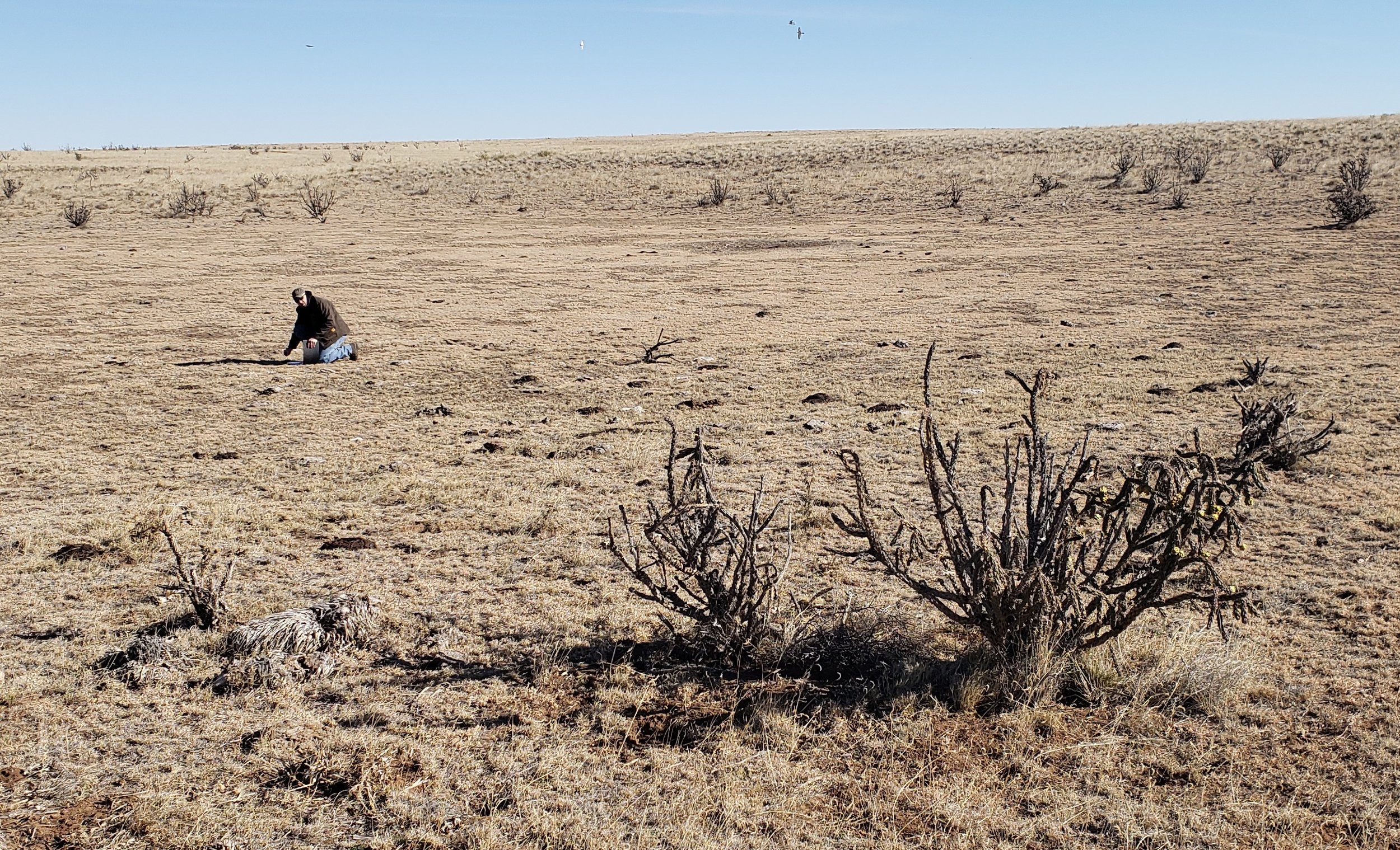
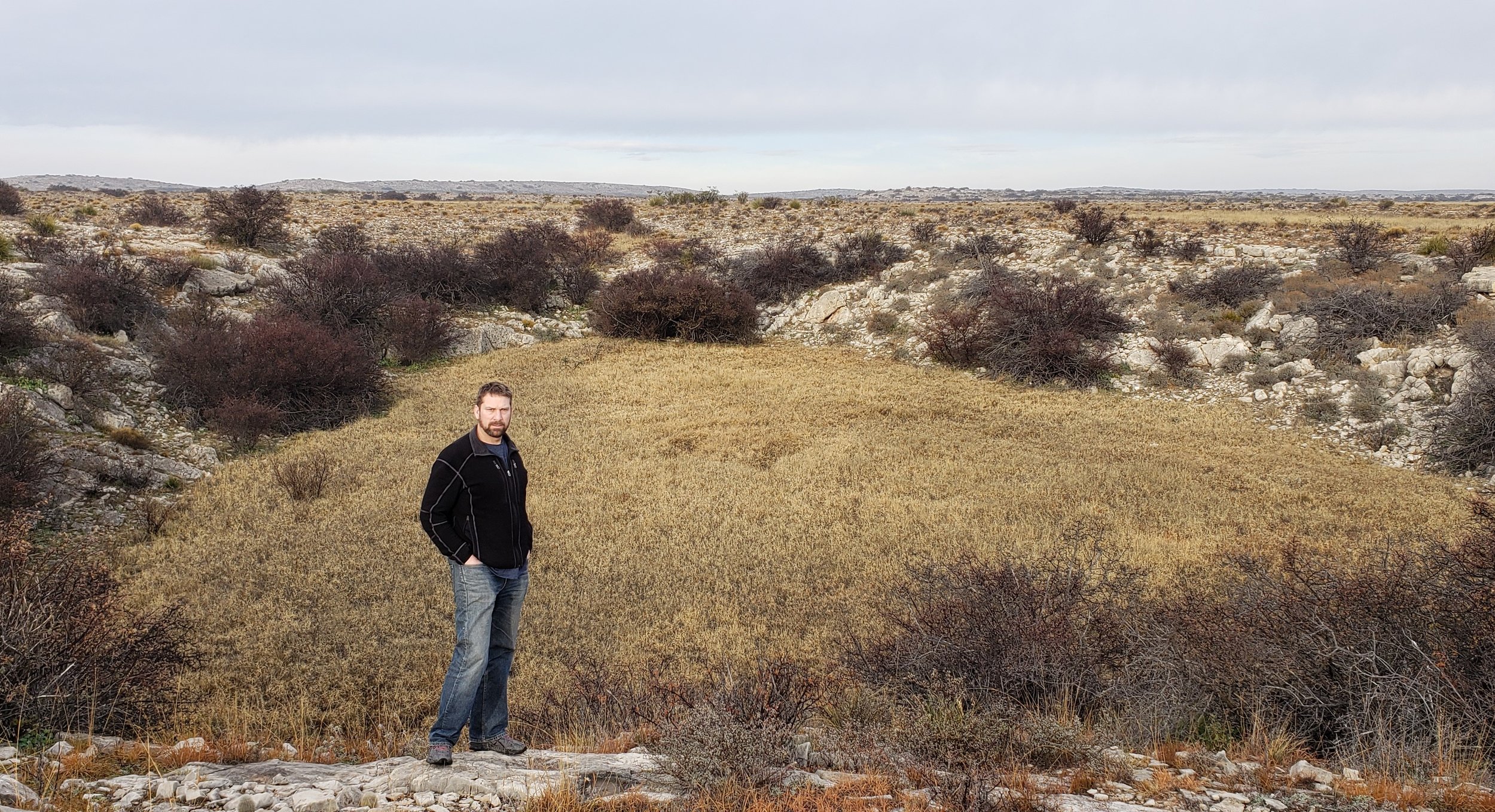
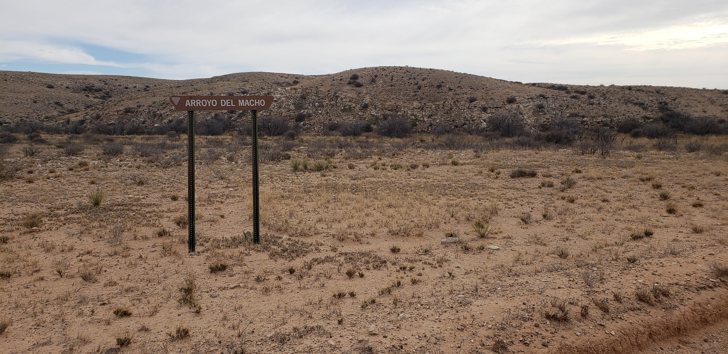
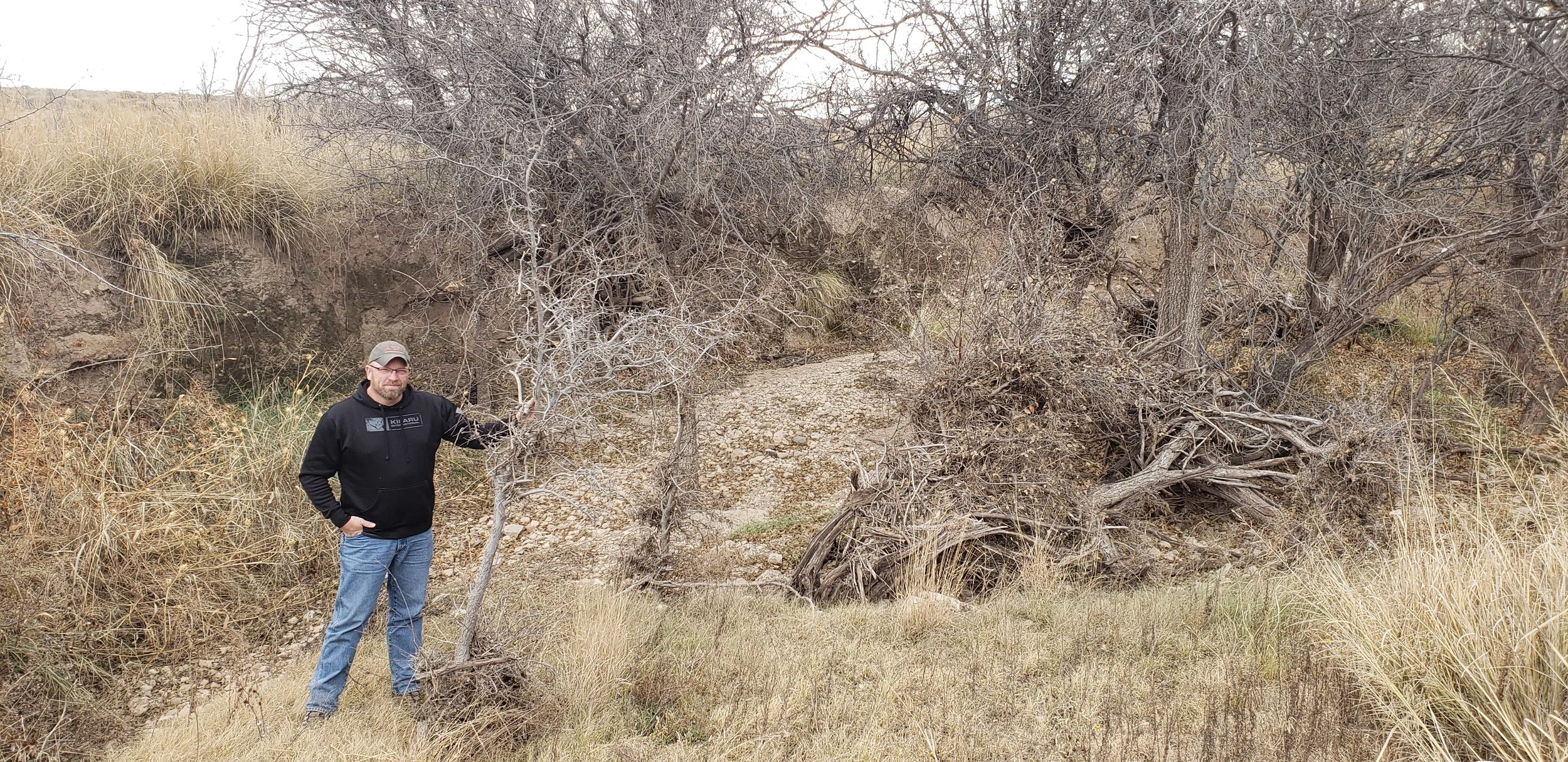
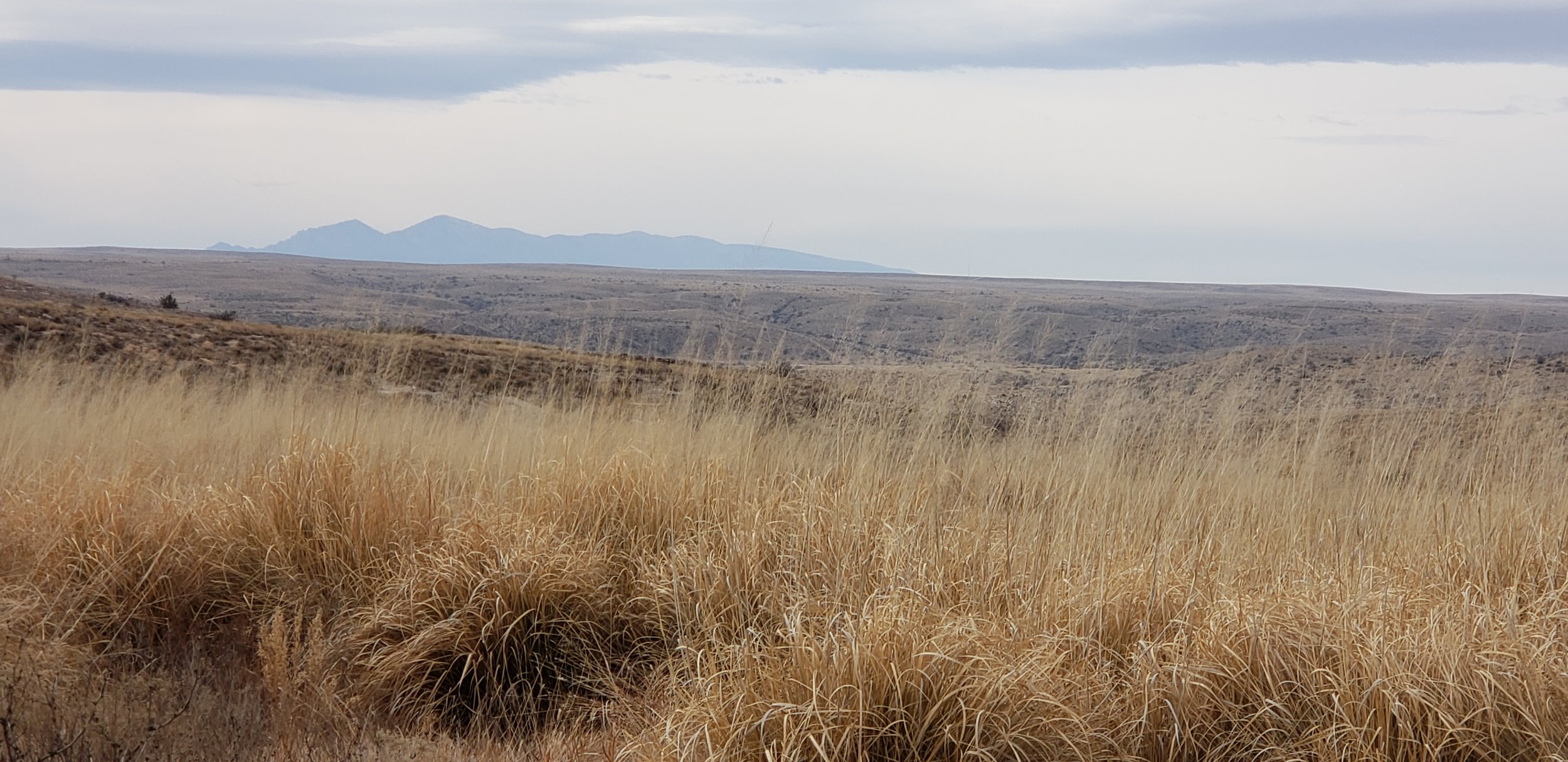
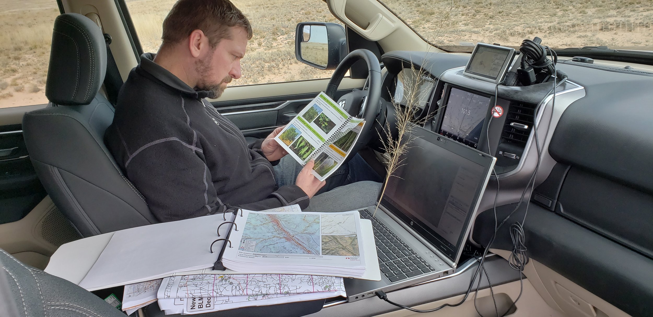
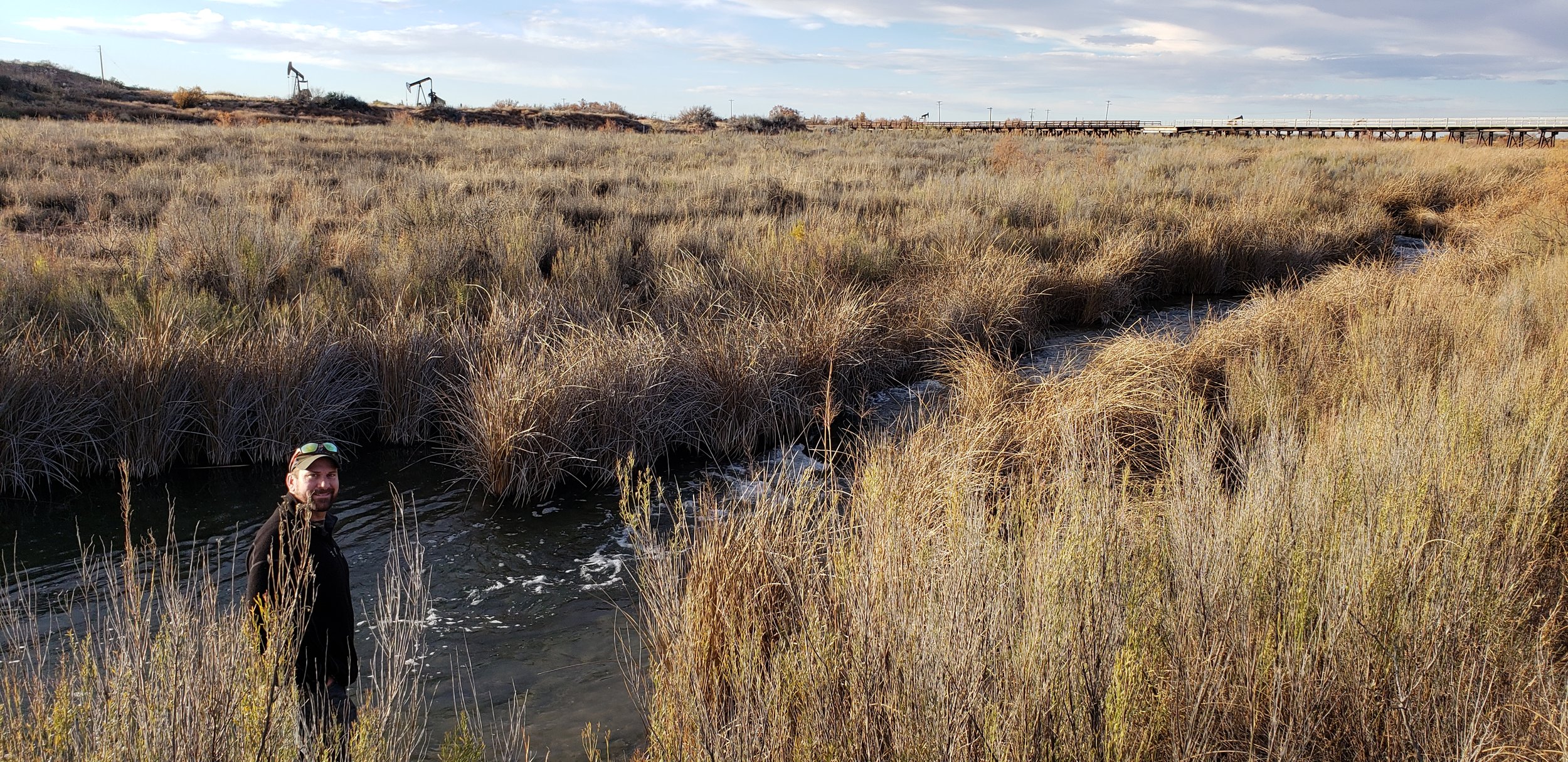
During early December, Kevin Stark and Eric Lindquist of GSS traveled to Southeast New Mexico for wetland field verification. They visited select wetland sites in recently mapped areas of Southeast New Mexico (South of Albuquerque and east of the towns of Roswell, Carlsbad, New Mexico). This area reaches east and south to the Texas border, covering parts of the Permian Basin which is located in western Texas and southeastern New Mexico. The Permian Basin gives its name to the large oil and natural gas production in the area. The Permian Basin is also a major source of potassium salts (potash), which are mined from bedded deposits of Permian age.
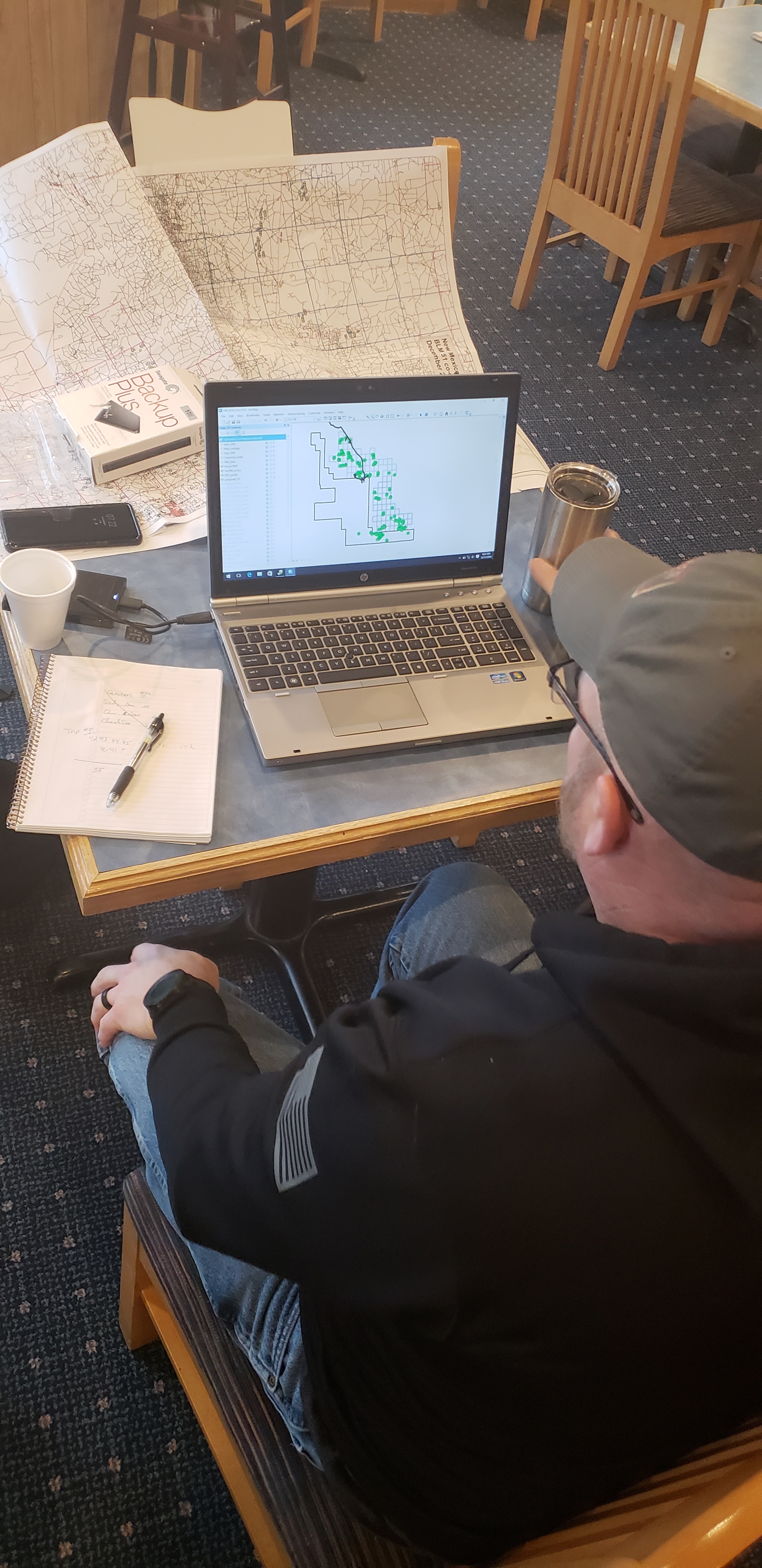
The team verified and confirmed preliminary mapping done by GSS and worked to learn more about the newly created LLWW key for inland wetlands of the Western U.S. This information is then processed and mapping will be adjusted for project completion.
Mapping has also begun in the Wyoming project area and continues to keep staff and student interns busy at Saint Mary’s University.