NEWS
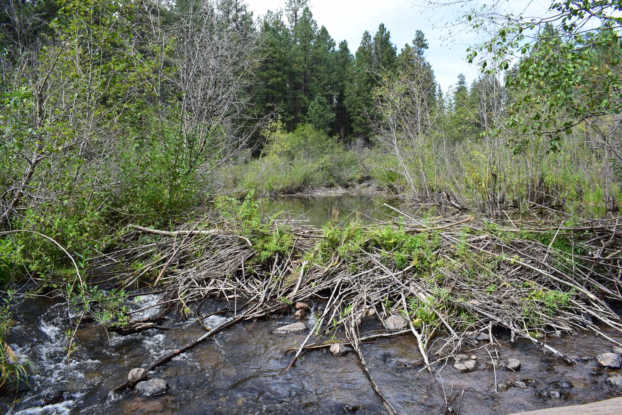
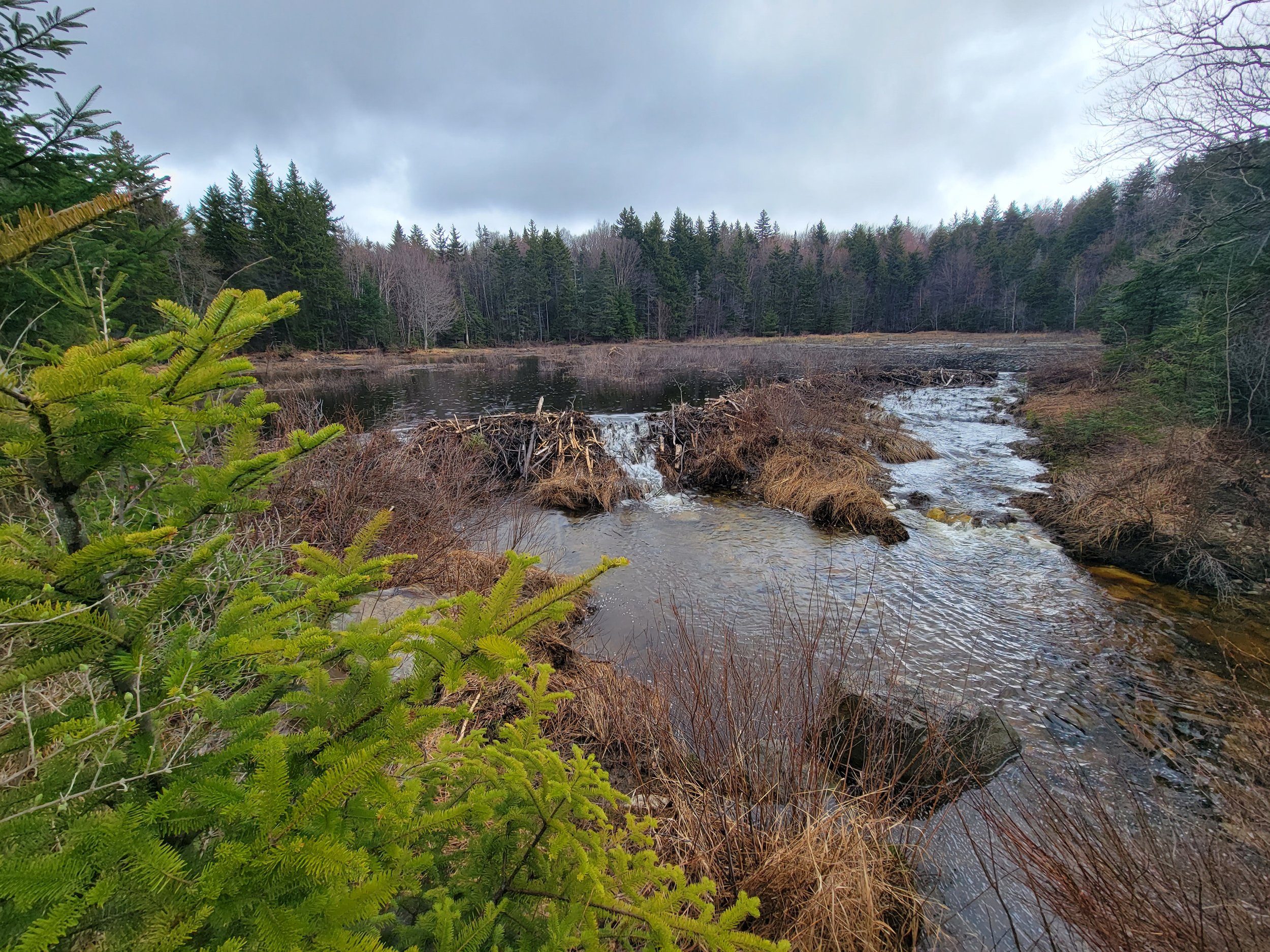
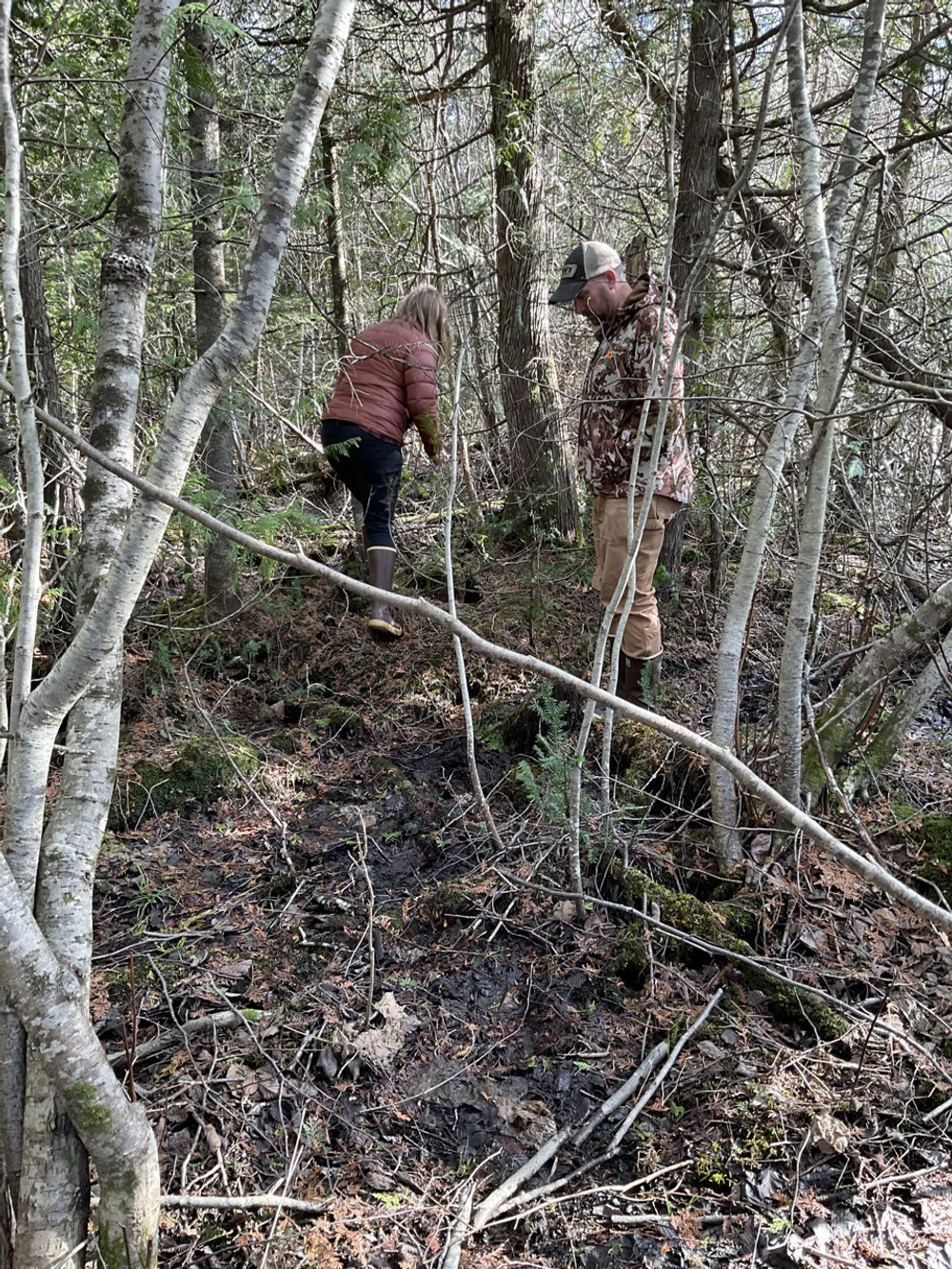
Visiting Vermont
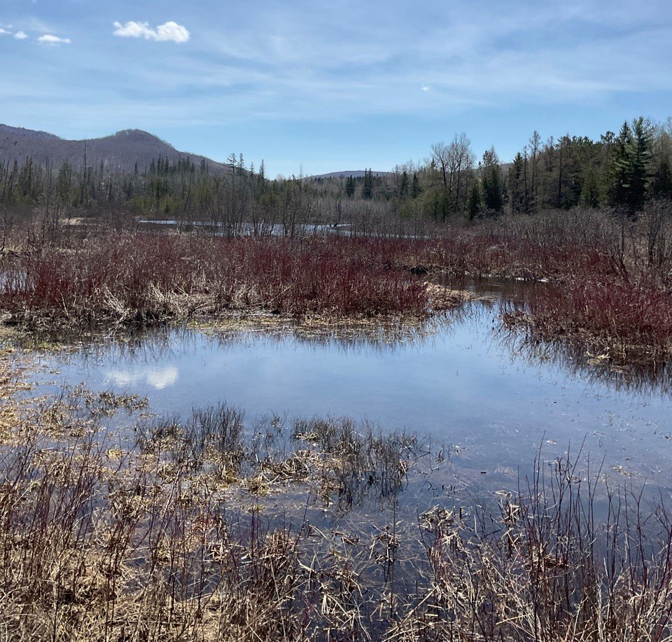
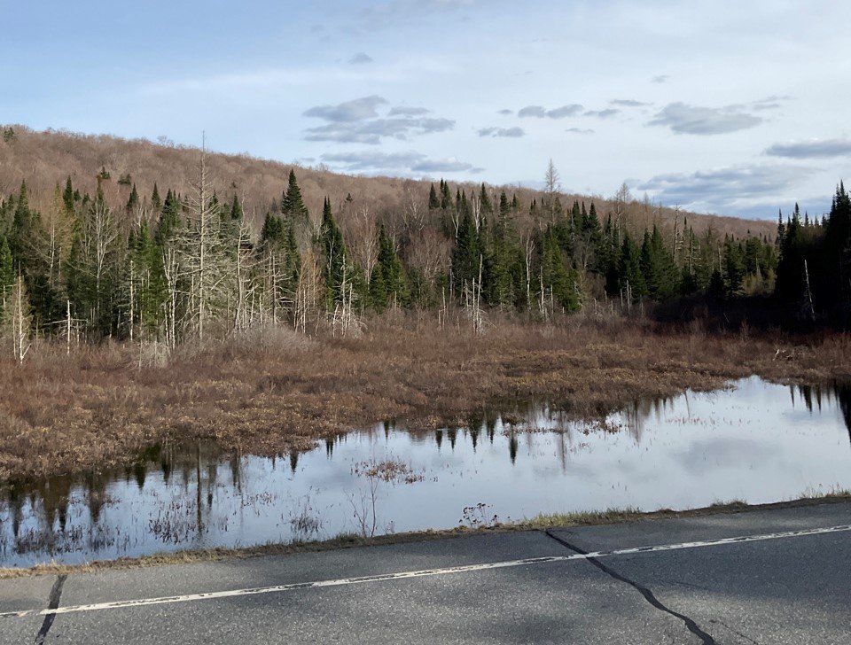
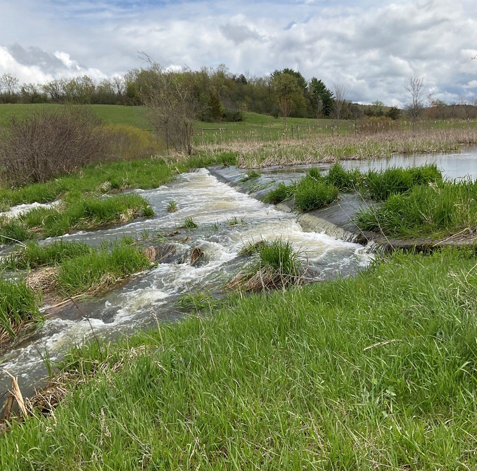
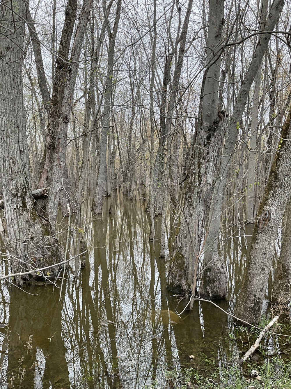
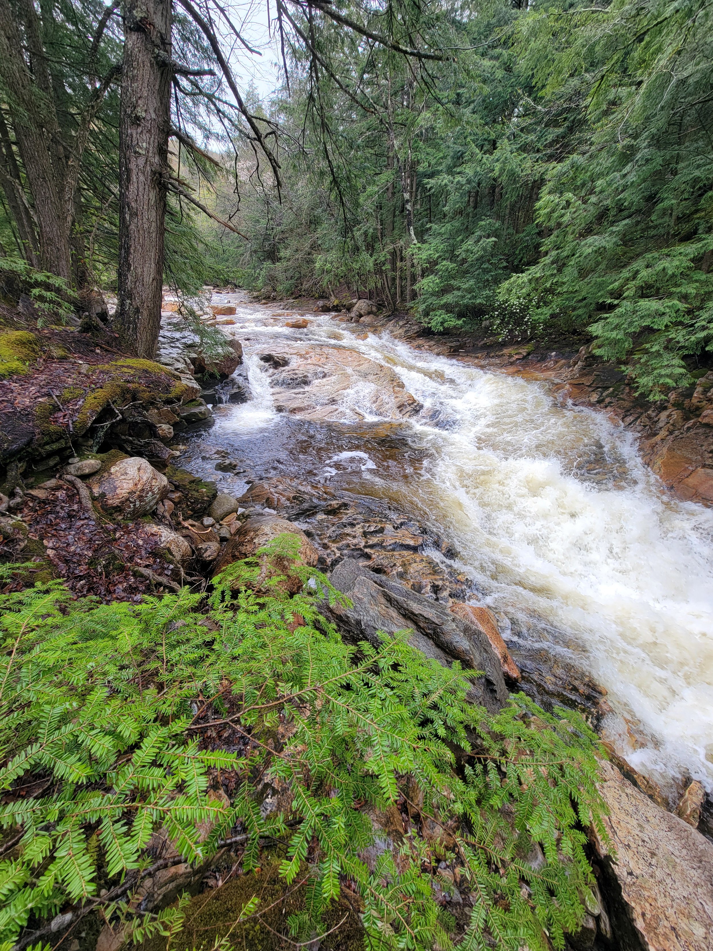
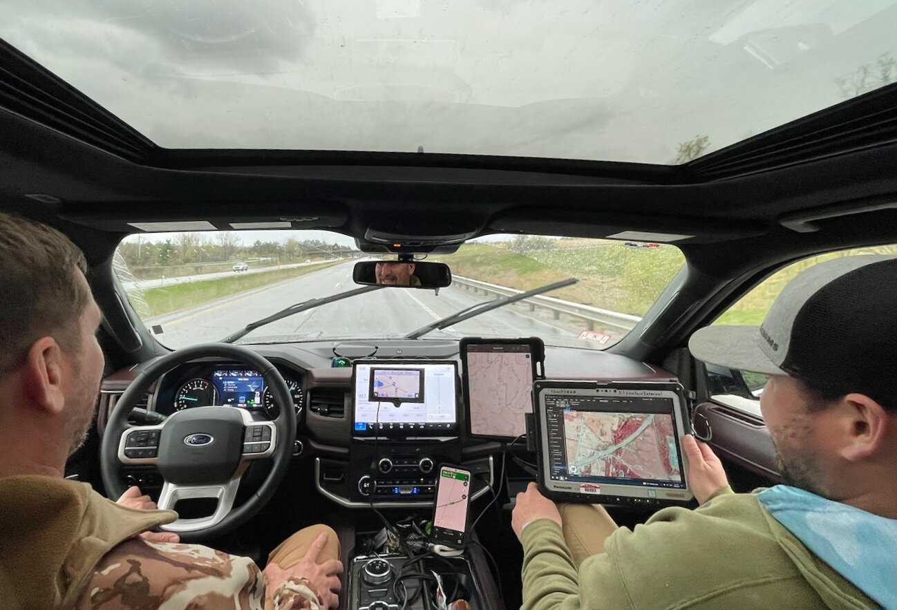
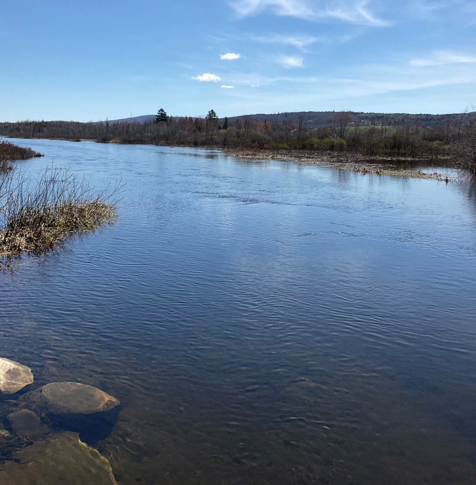
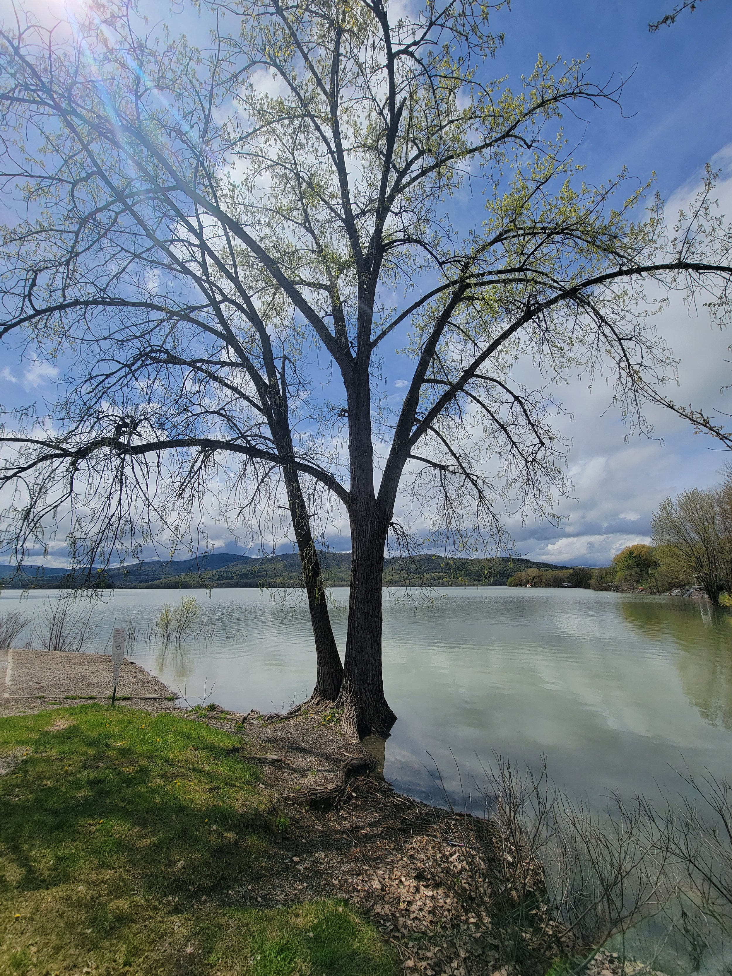
In late April/early May, GSS staff Kevin Stark, Katie Engelmann, and Zack Ansell spent 7 days conducting wetland field work throughout Vermont. Their travels took them to the Connecticut River Basin in the east, the Lake Champlain Basin in the northwest, and a small part of the Hudson River Basin in the southwest corner. The eastern and western basins are divided by the Green Mountains, which run north-to-south through the state. The GSS team was joined in the field by staff from the Vermont Department of Environmental Conservation and the NWI regional coordinator. Together, they were able to observe a wide variety of wetlands from saturated, sloped wetlands in agricultural settings, bogs, black ash swamps, to semi-permanently flooded buttonbush shrub wetlands.
Knopf Presents to Alaska Science Symposium
On April 21, Jeff Knopf presented to the Kenai Peninsula Fish Habitat Science Symposium on using GIS data for environmental decision making on Alaska’s Kenai Peninsula. The watersheds on the peninsula are vital not only to sustaining ecological processes on the landscape and supporting local biodiversity, but also to local, regional and world economic development and regional culture. As a premier fishing destination, it is imperative to protect and enhance the native fisheries and aquatic resources of the Peninsula. Studies have identified pollution as a threat to these aquatic resources, particularly, heavy metal pollution that flows off of impervious surfaces. In recent decades, changes in the natural landscape and the extent of human development have altered the region's hydrography. Jeff played a key role in updating and creating data to reflect these changes, to better inform planning and management decisions by stakeholders, especially those related to the potential impacts of present-day anthropogenic activities.
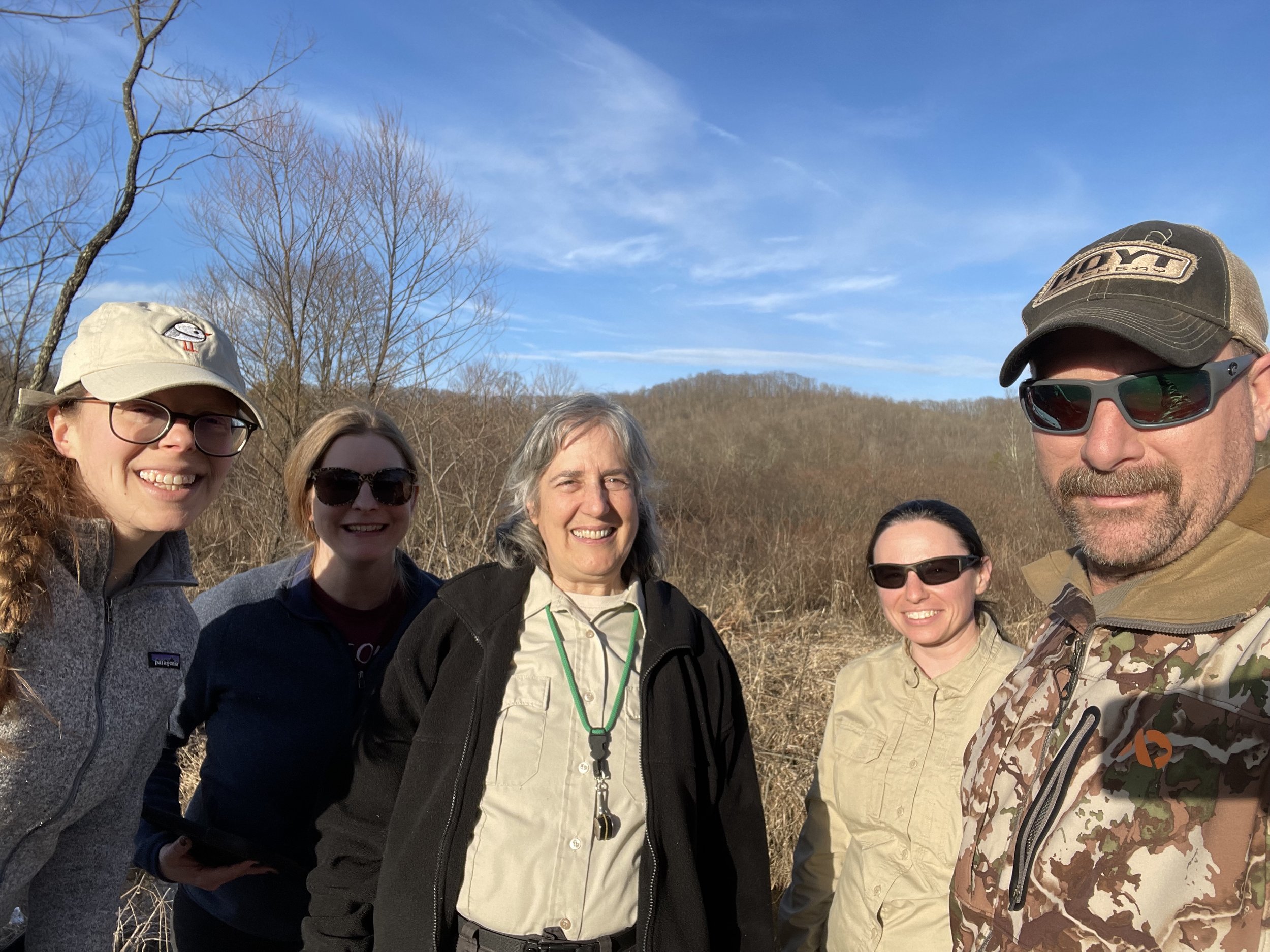
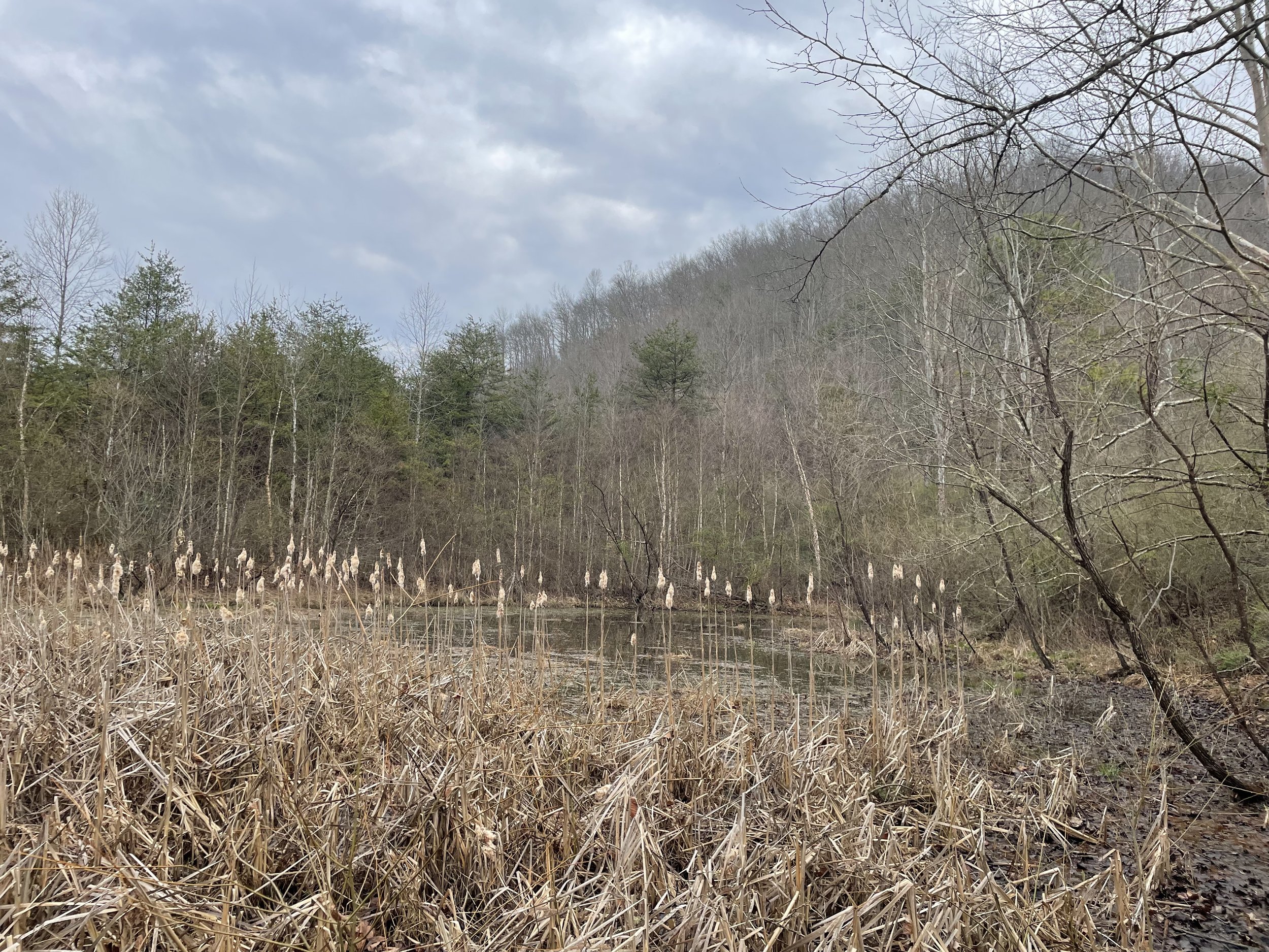
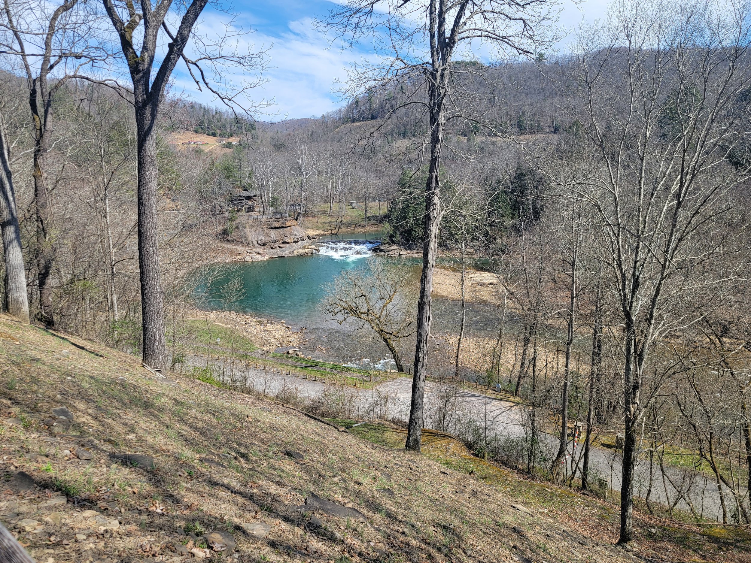
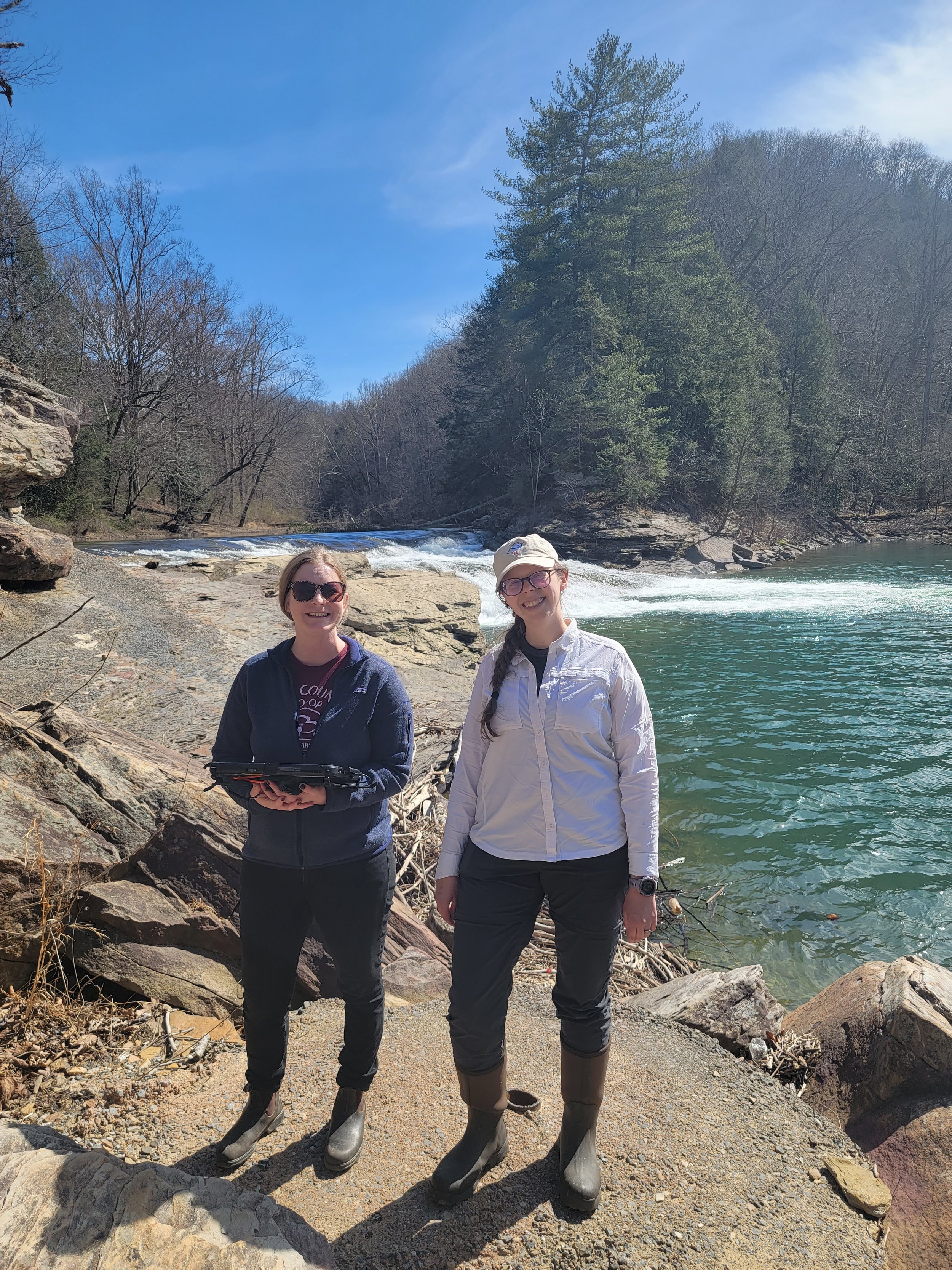
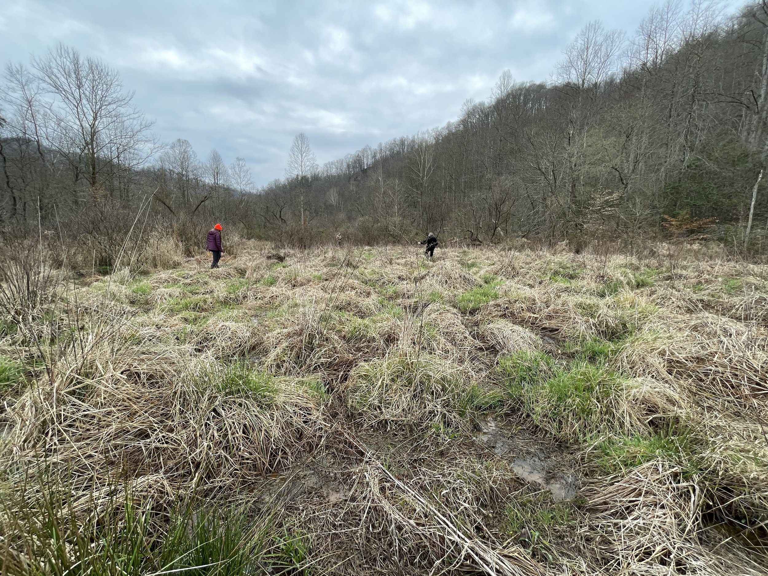
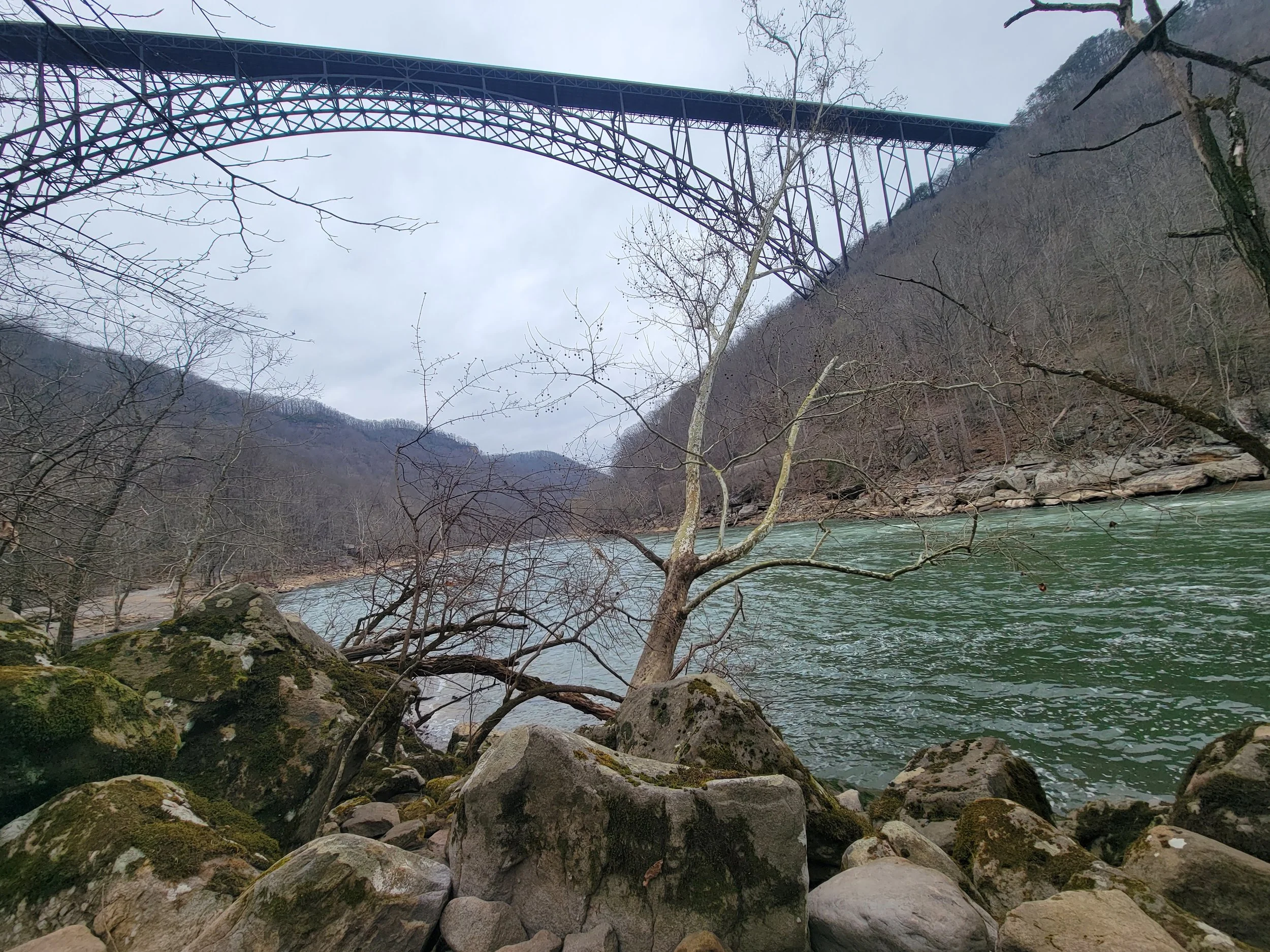
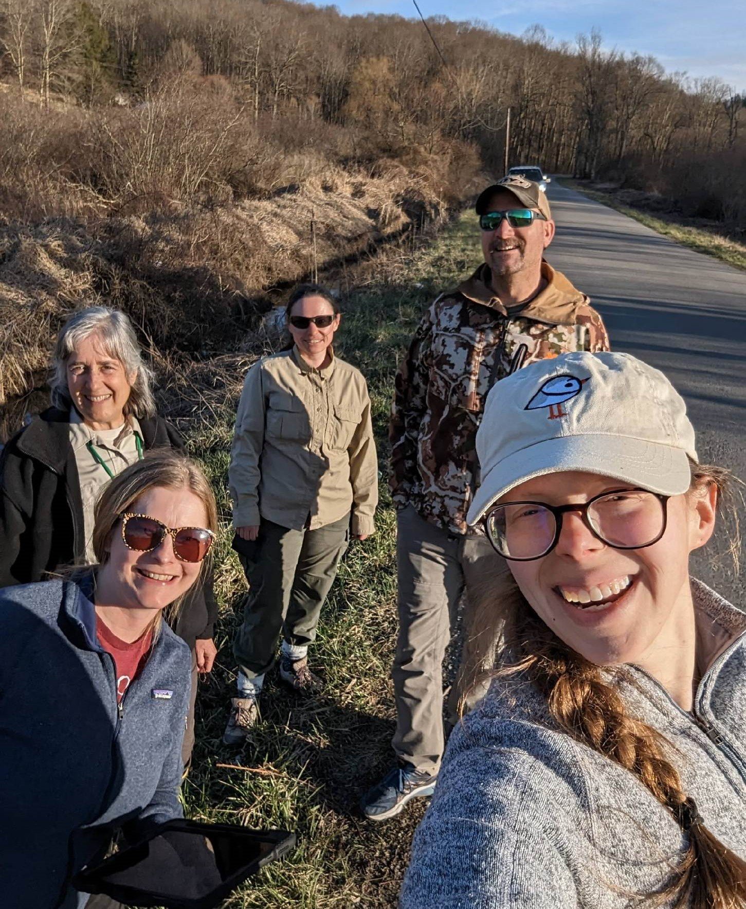
Spring Travel to West Virginia
From March 20-24, Kevin Stark and Katie Engelmann traveled to West Virginia for a wetland field verification trip with staff from the state’s Department of Environmental Protection. Wetland mapping in all but eight counties within the state has not been updated in 40-55 years. These updates are needed to assist state agencies and the public in understanding, monitoring, and regulating the state’s aquatic resources. GSS staff and student interns started digitally mapping wetlands in 2022 and will wrap up the project later this year. The trip focused in the southwest area of West Virginia, on the edges of the Appalachian Mountains with its many valleys and winding rivers. It included a stop at one of the country’s newest National Parks at New River Gorge, which was “upgraded” from its National River designation in December 2020. During the week, Kevin and Katie also met with the U.S. Fish and Wildlife Service’s National Wetland Inventory (NWI) coordinator for the Northeast region.
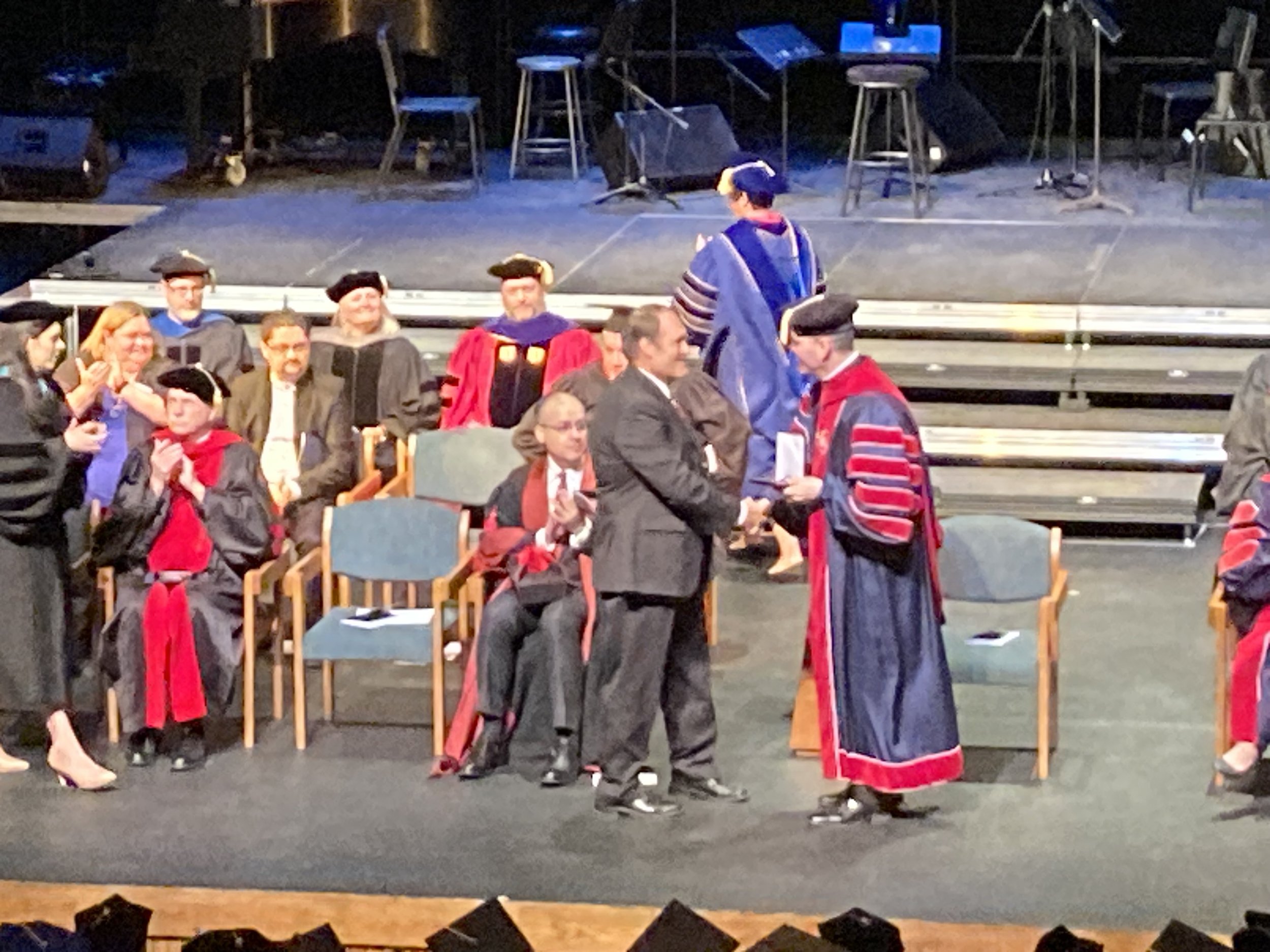
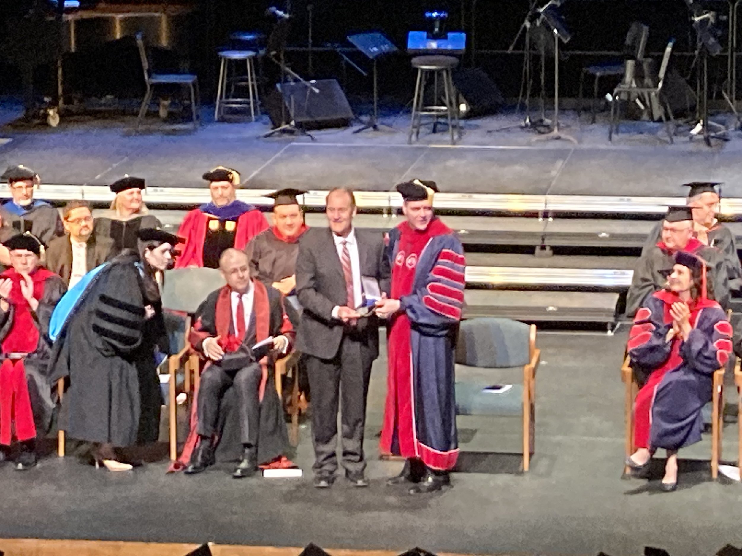
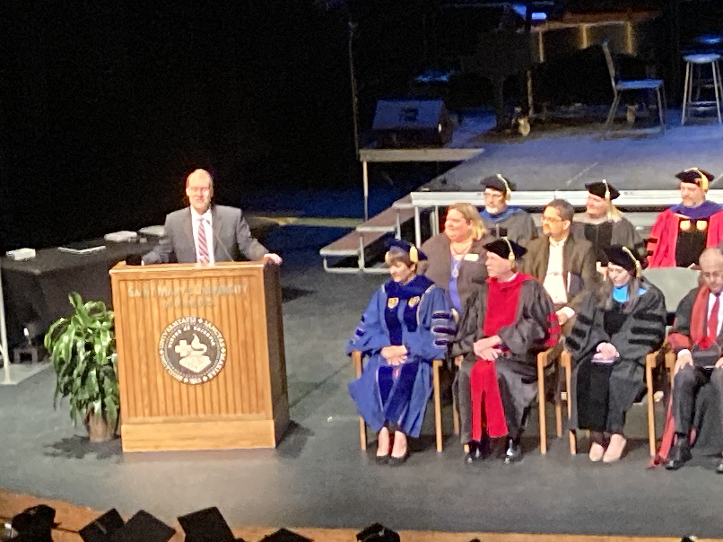
GSS Director Receives University Award
Andy Robertson, Executive Director of GeoSpatial Services, was honored today with the University’s Distinguished Lasallian Educator Award. This annual award recognizes a member of the faculty, staff, or administration for their contributions and commitment to the Lasallian mission of education. Andy has led the expansion of GSS to uniquely engage Saint Mary’s students in serving the needs of federal agencies, tribal nations, and nonprofit organizations in the areas of land management and water conservation. Similar to Saint John Baptist de La Salle’s first schools in 17th century France, GSS engages education to respond to community needs at this particular time in history. The award was presented at the University’s Founder’s Day Convocation. Congratulations, Andy!
GSS Staff Attend Esri Regional Conference
Last week, Kevin Stark and James Loken attended the Esri Midwest User Conference (UC) in Chicago, an opportunity to network and learn how people are leveraging GIS to solve problems, create shared understanding, and map common ground. They attended sessions on ArcGIS Enterprise, Workflow Manager, ArcGIS Insights, Web AppBuilder, ArcGIS Arcade, and more. The best sessions were on new features in the Survey123 app (improved image markup, point streaming, creating/publishing with Connect) and ArcGIS Pro Tips and Tricks, which focused on boosting productivity and efficiency when working in Pro (mapping, data and content management, analysis, and sharing). The GSS team is excited to incorporate the new ideas and techniques learned at the Midwest UC into everyday workflows and fieldwork!


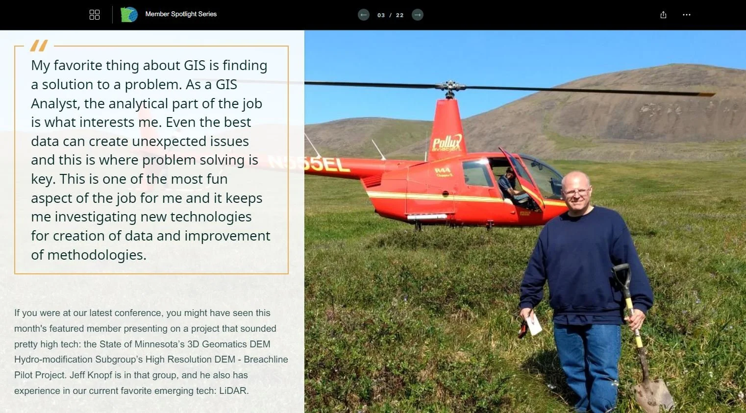
GSS Staff Member Featured in Consortium Spotlight
GIS Analyst Jeff Knopf was recently featured in the “Member Spotlight” of the Minnesota GIS/LIS Consortium, an organization that strives to develop and support GIS professionals in Minnesota for the benefit of the state and its citizens. Jeff is a long-time member of the Consortium and first presented at their annual conference nearly 20 years ago! You can read the full spotlight here.
GSS Develops Courses for New Minor
GeoSpatial Services has partnered with the SMUMN Biology Department to develop new coursework as part of the Natural Resources Management Minor. The Wetland Ecology and Management course kicked off in fall, instructed by GSS staff, Katie Engelmann, PWS. The class explores dimensions of wetland science including hydrology, biological adaptations, plant identification, management, and policy. Students visited a number of regional wetlands and gained valuable technical skills such as wetland delineation, hydric soils identification, and wetland quality assessments.


Bollig Presents at Research Symposium
Last week, GSS Analyst (and SMUMN alum) Madalyn Bollig presented at the Missouri River Institute Research Symposium, hosted by the Missouri River Institute and the University of South Dakota in Vermillion, South Dakota. Madalyn shared her Masters thesis research on the Ecological Changes of the Lower Niobrara River Valley and Lewis and Clark Lake Delta, from Past to Present. Her research had special emphasis on using GIS, remote sensing and field methods to analyze the riparian ecosystem changes in response to sedimentation fluctuations due to flooding events on the Niobrara (NE) and Missouri Rivers. While at the symposium, Madalyn also had the opportunity to present a poster on our work at GSS and to network/market on our behalf. Many of our partner agencies were in attendance, such as the National Park Service, U.S. Fish and Wildlife Service, the Army Corps of Engineers, and the U.S. Geological Survey, as well as students. It was a day packed full of research, ecosystem, and wildlife updates on the longest river in the U.S.

Knopf Presents Project Findings at the Minnesota GIS/LIS Conference
In mid-October, Jeff Knopf presented at Minnesota’s GIS/LIS Conference in Bemidji. Jeff spoke about his involvement in a pilot project with the State of Minnesota’s 3D Geomatics DEM Hydro-modification Subgroup to investigate the value of legacy breachlines and newly acquired high resolution digital elevation model (DEM) data for usefulness in hydro-modification. Considerable money has been spent on the creation of the legacy breachlines and, with the acquisition of new DEMs for the State of Minnesota, many stakeholders are concerned as to whether money spent on breachlines required for hydro-modification was lost. Hydro-modification is a necessary step to prepare elevation models for analysis, such as, identification of where to place best management practices, flood analysis, measurement of nitrogen and phosphorus transport, to name a few. The pilot project found that the legacy breachlines are an essential dataset for hydrologic modeling and terrain analysis.


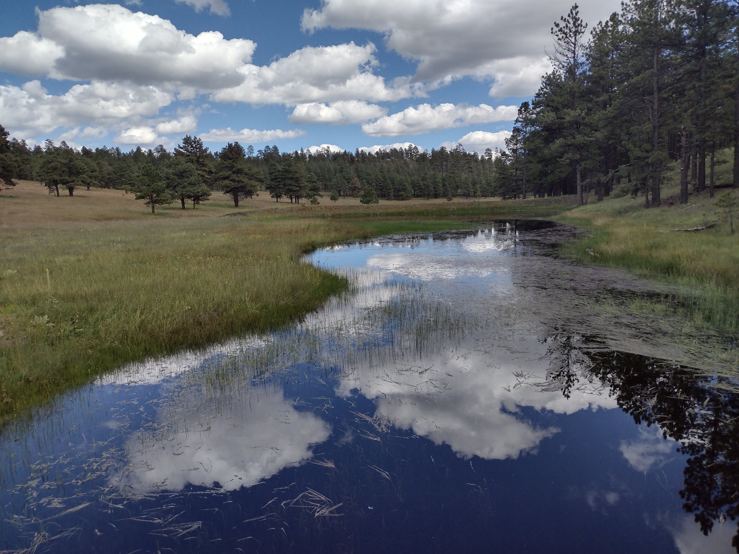
GSS in Final Stages of New Mexico Wetland Mapping Projects

Areas with a green outline were completed in September; areas outlined in blue are next to be finalized.
GeoSpatial Services has been working with the New Mexico Environment Department (NMED) for over a decade to map the state’s wetlands and assess wetland functions. At the end of September, GSS completed and submitted three more study areas, leaving only three study areas to finalize in the state. As the project wraps up, GSS is working with NMED to create an online story map that will share what we’ve learned with the public. The website will describe the importance of wetlands, the types found in Mexico, and the valuable functions they perform, such as groundwater recharge, surface water detention, and wildlife habitat provision. In September, GSS Director Andy Robertson travelled to New Mexico to collect photos for use in the story map. He criss-crossed the state, visiting the Apache and Cibola National Forests, the San Juan River and Rio Grande, and the mountains surrounding Santa Fe. The Valles Caldera National Preserve in north central New Mexico was a particular highlight, thanks to recent rainfall, late-blooming wildflowers, and elk.