

NEWS
Cascade Meadows: Student Interns 2017
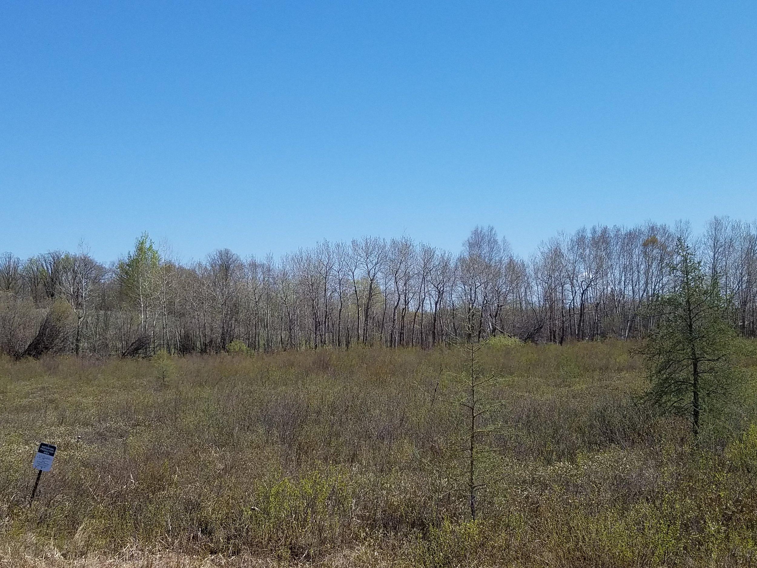
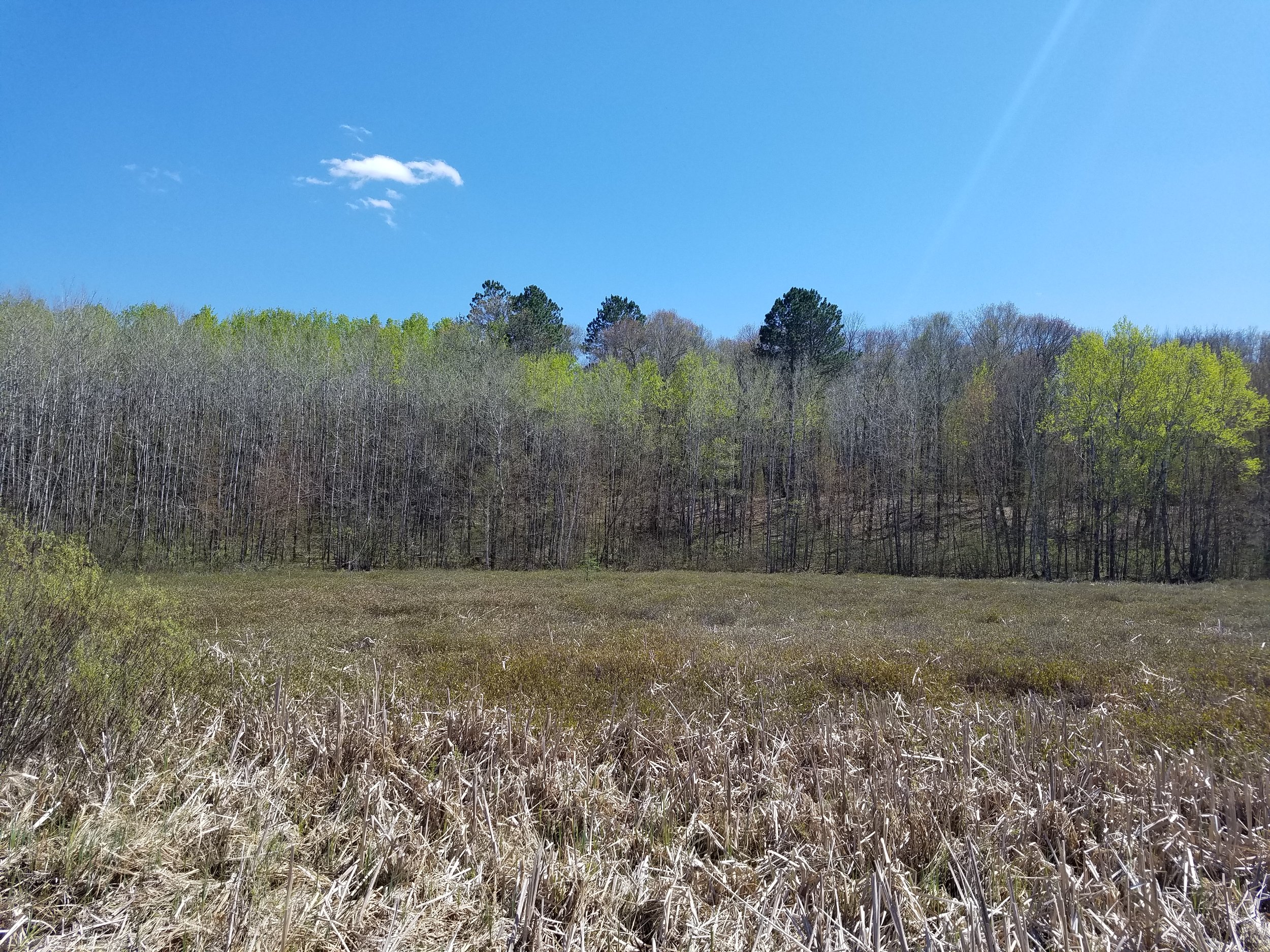
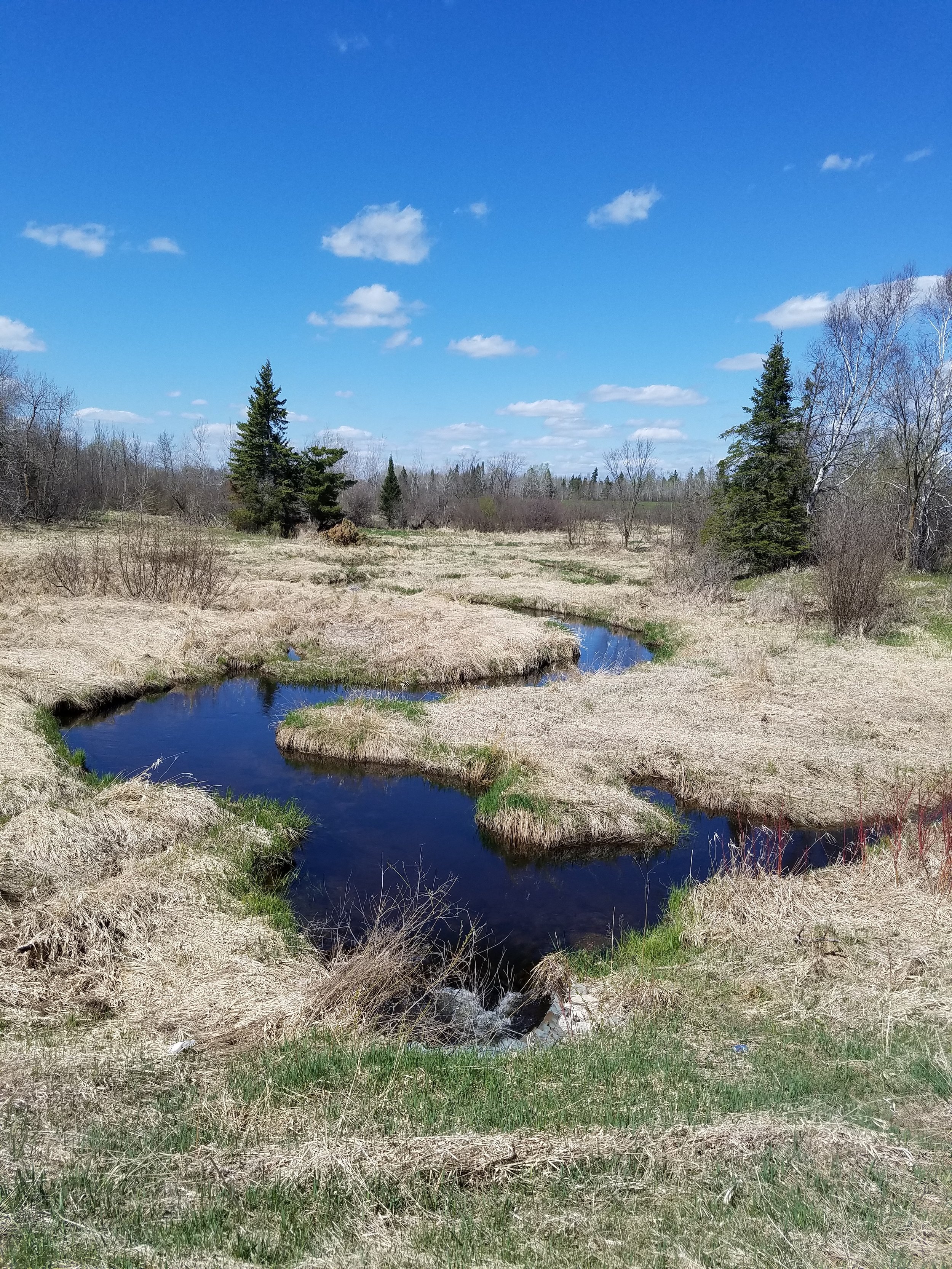
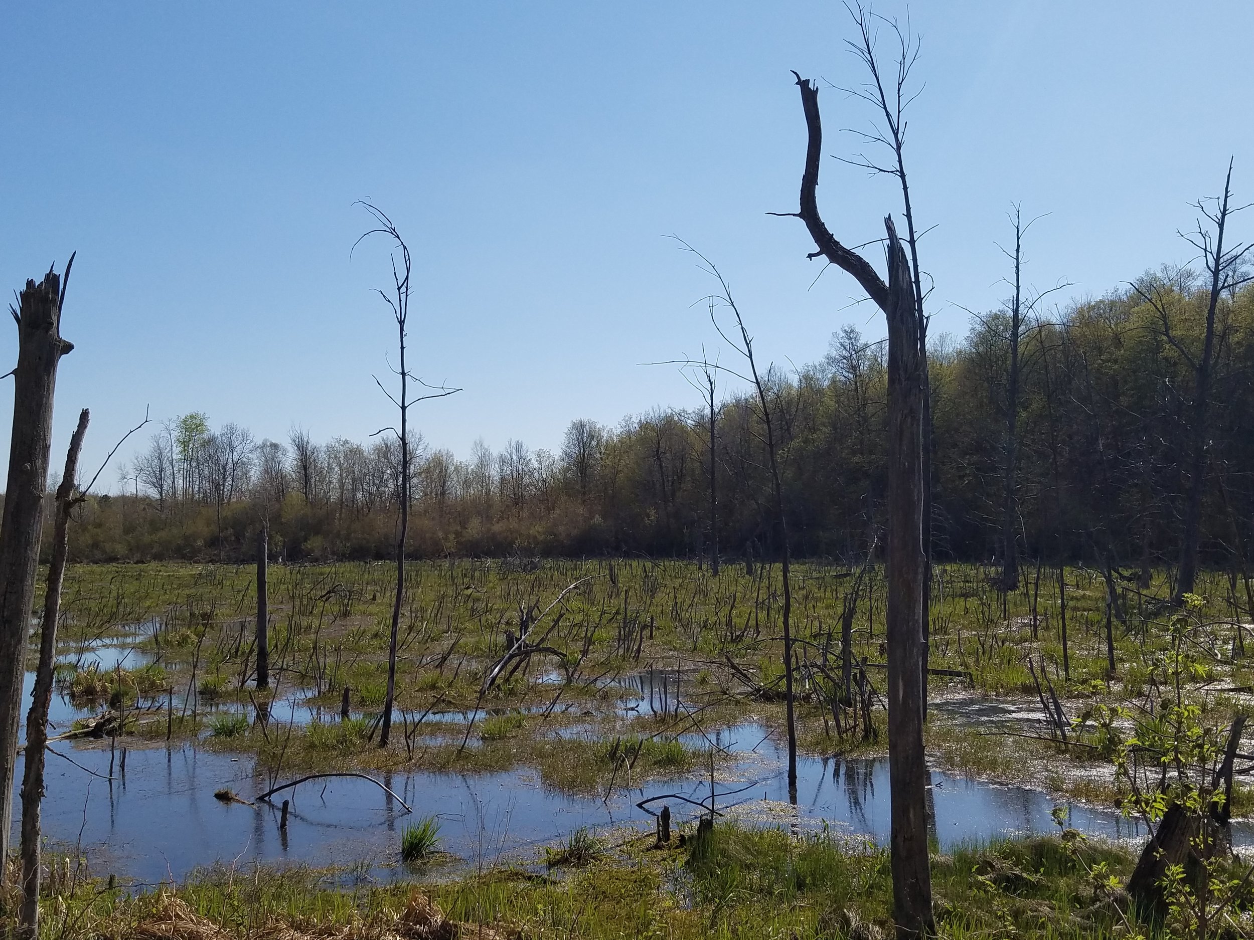
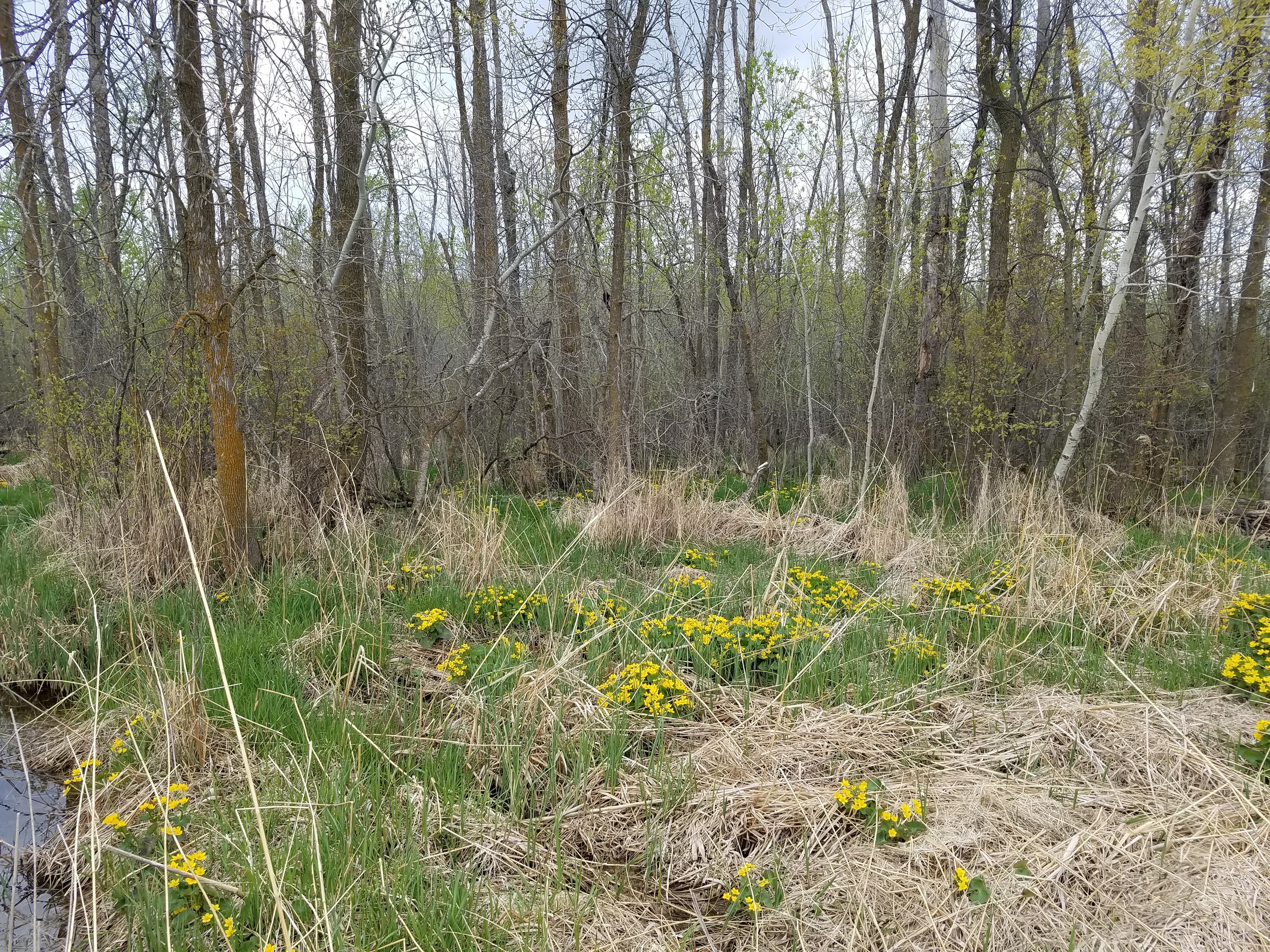
For the second summer in a row, GSS staff assisted in supervising summer student interns at the University's Cascade Meadow Wetlands and Environmental Science Center in Rochester, MN. The interns were junior Environmental Biology majors Katie Ethen and Abby Propsom.

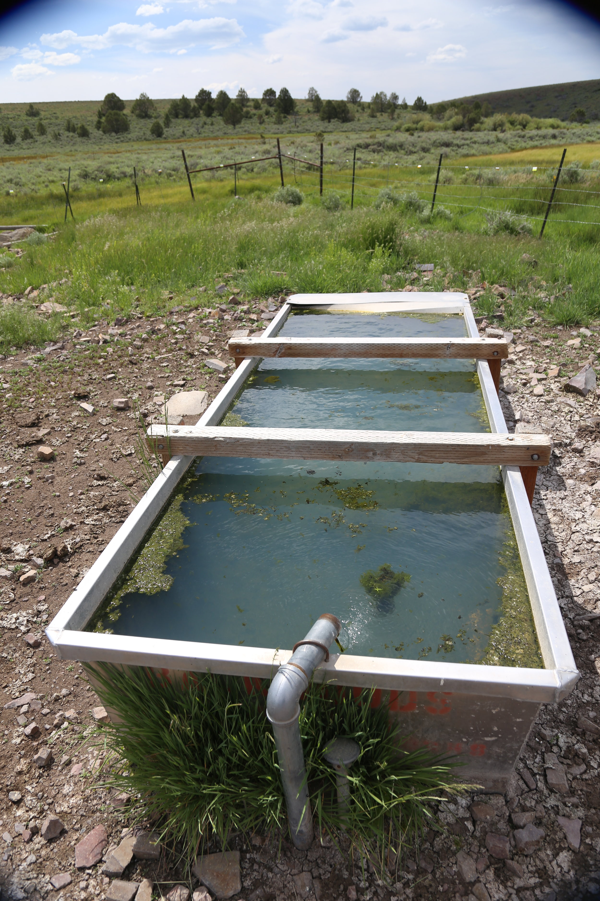
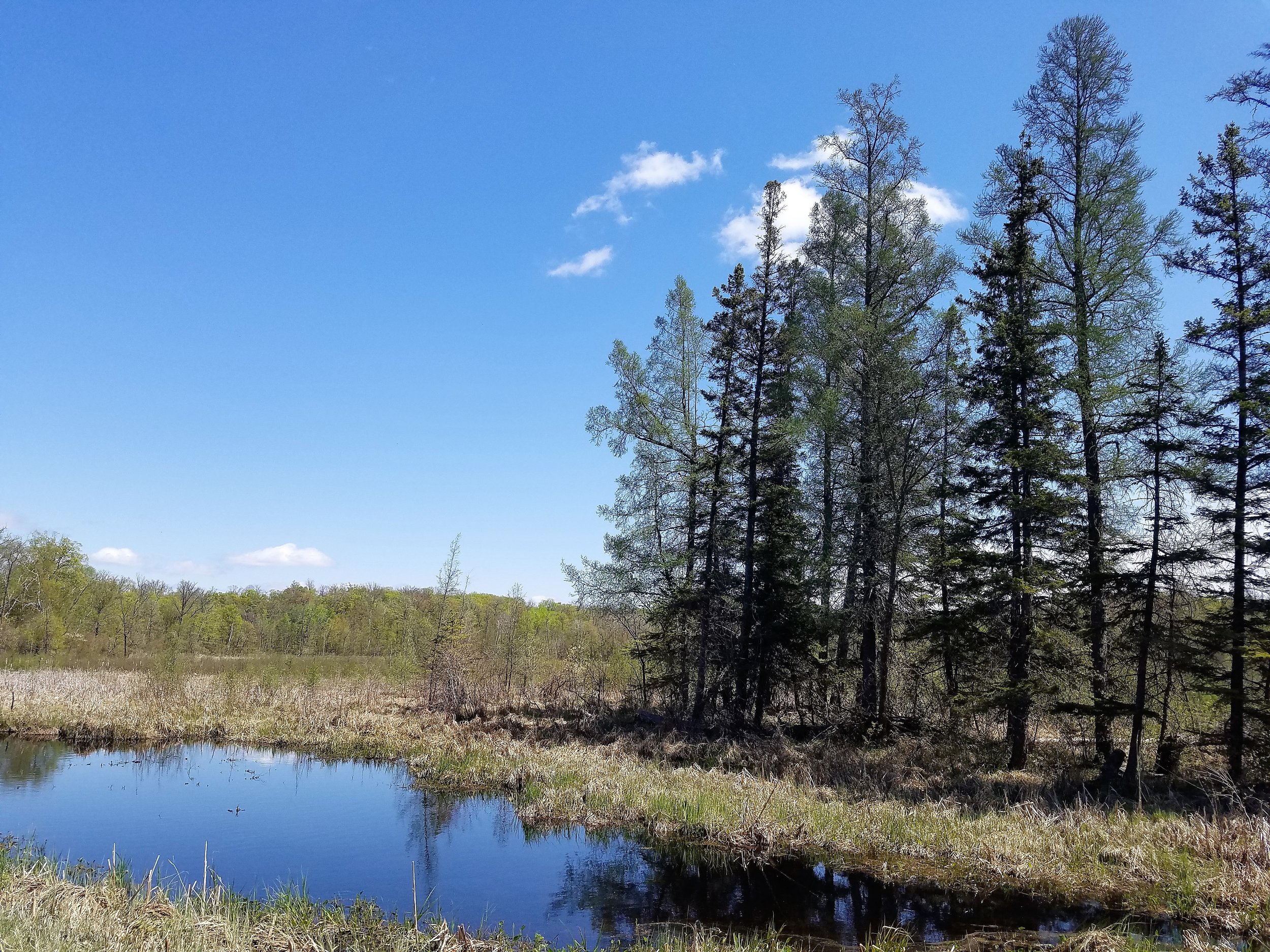
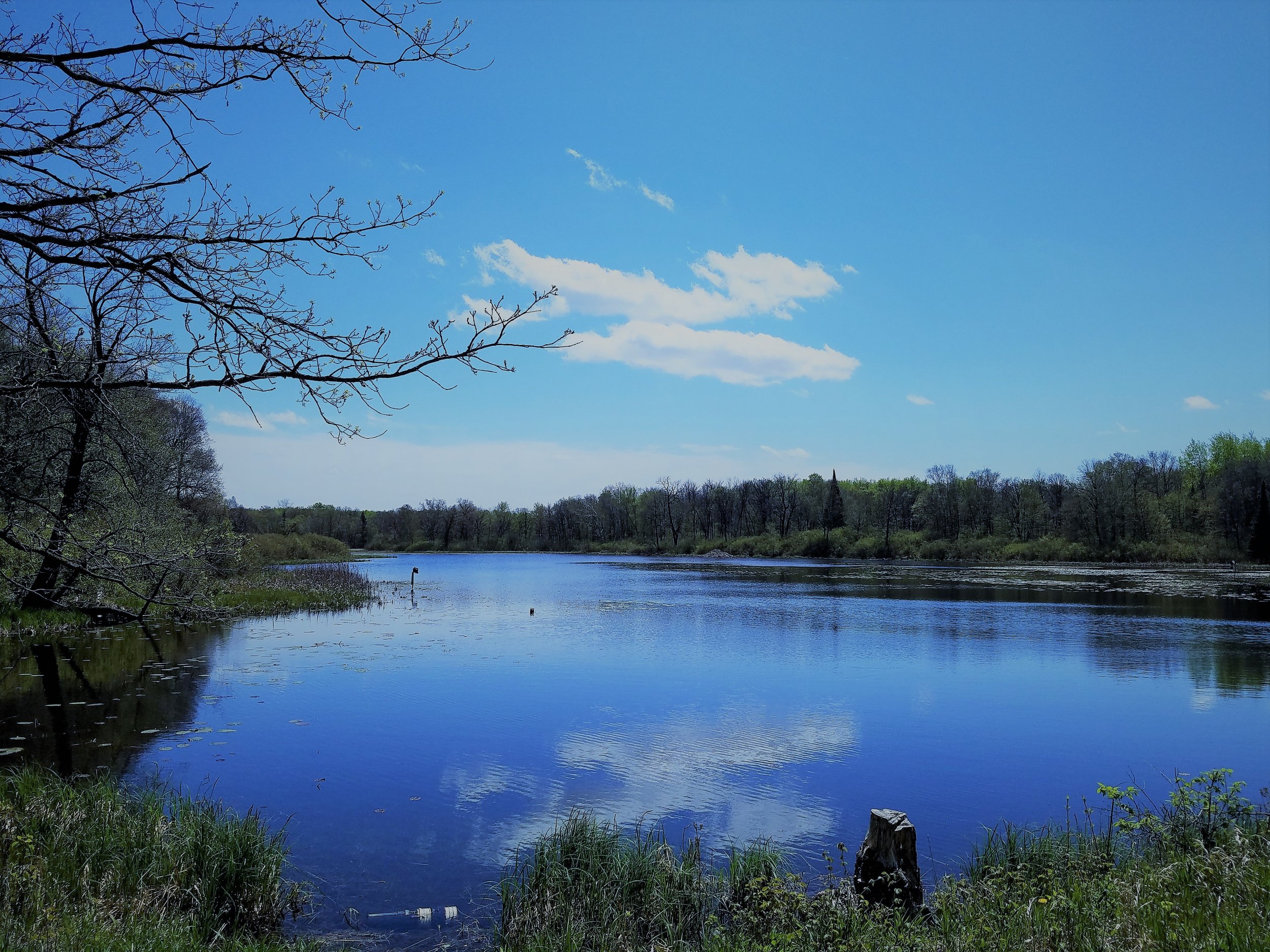
Interns on the Cascade Meadows lake!
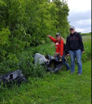
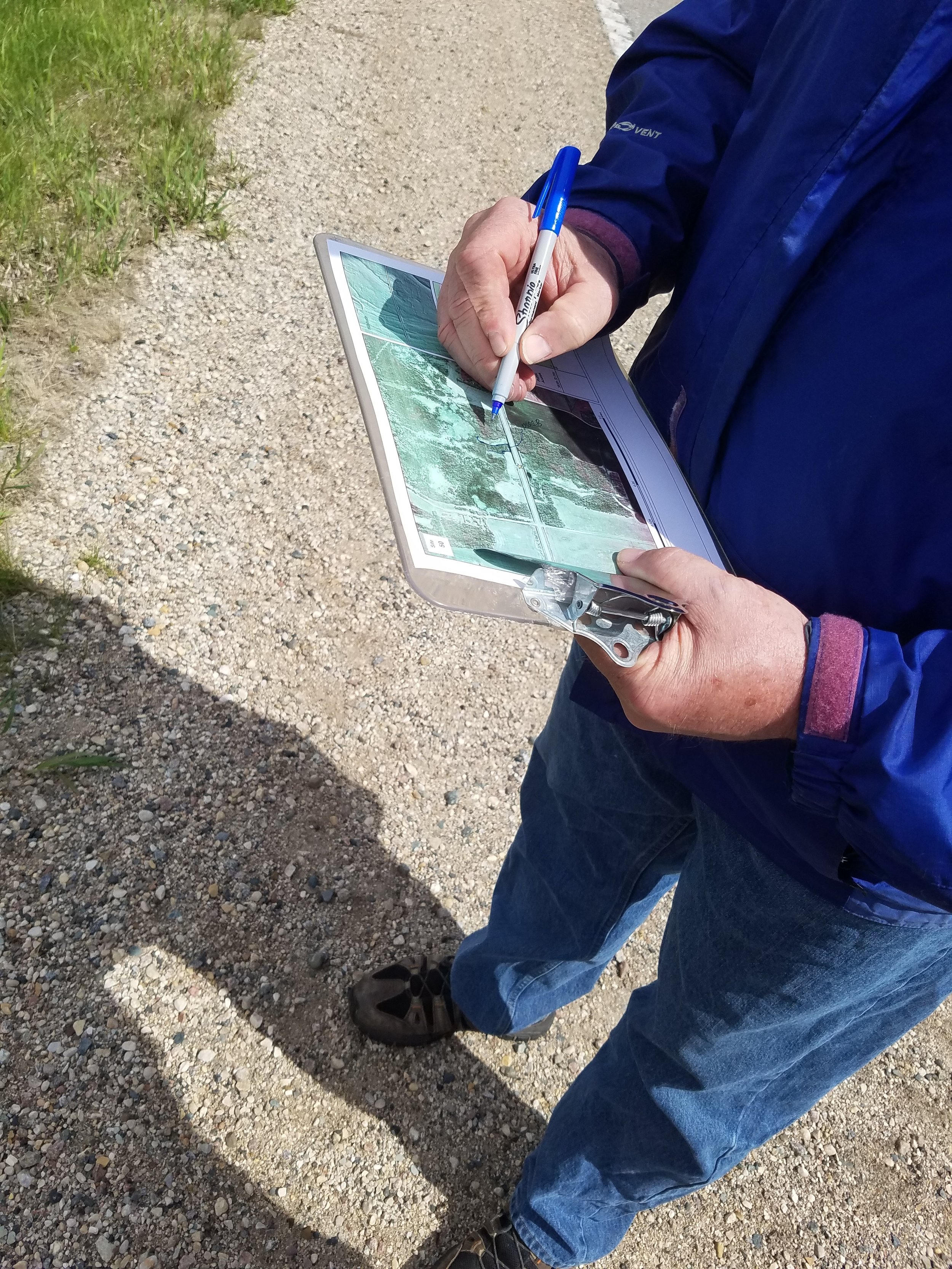
In May 2017, the interns removed nearly a dozen large garbage bags full of garlic mustard, an invasive noxious weed, from a tree line on site.
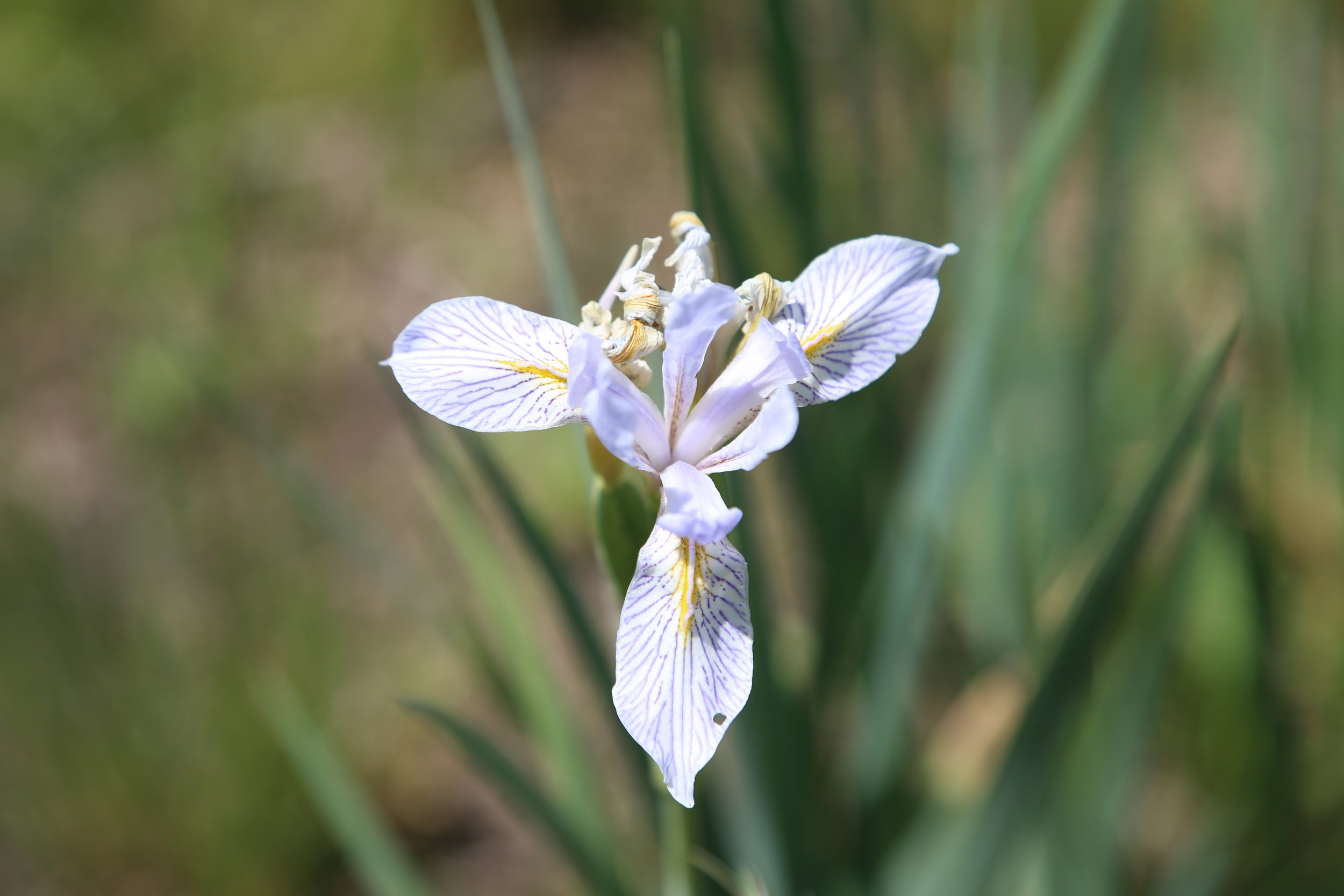
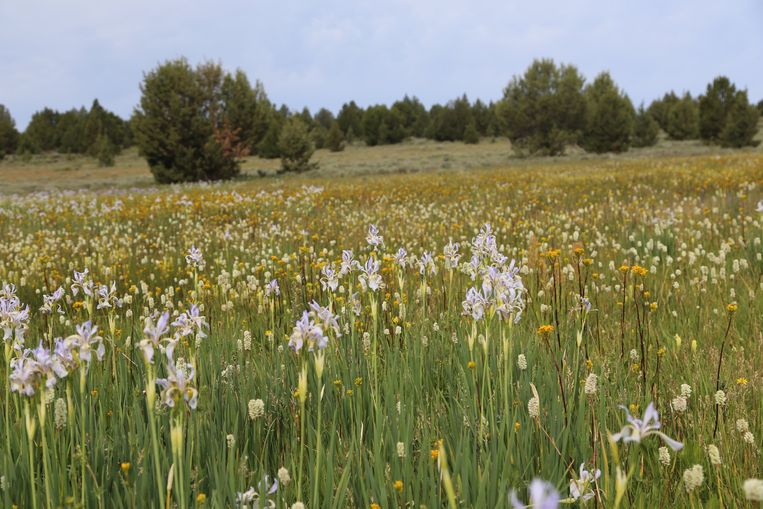
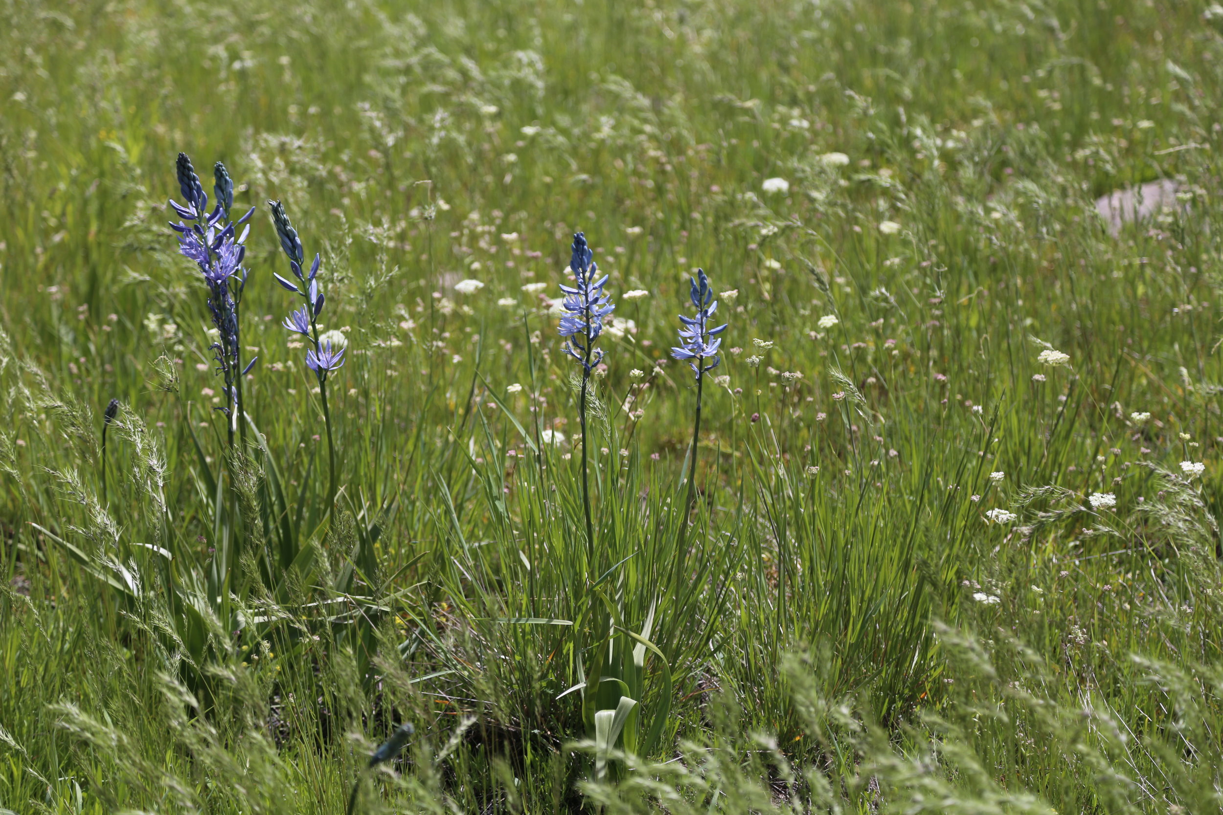
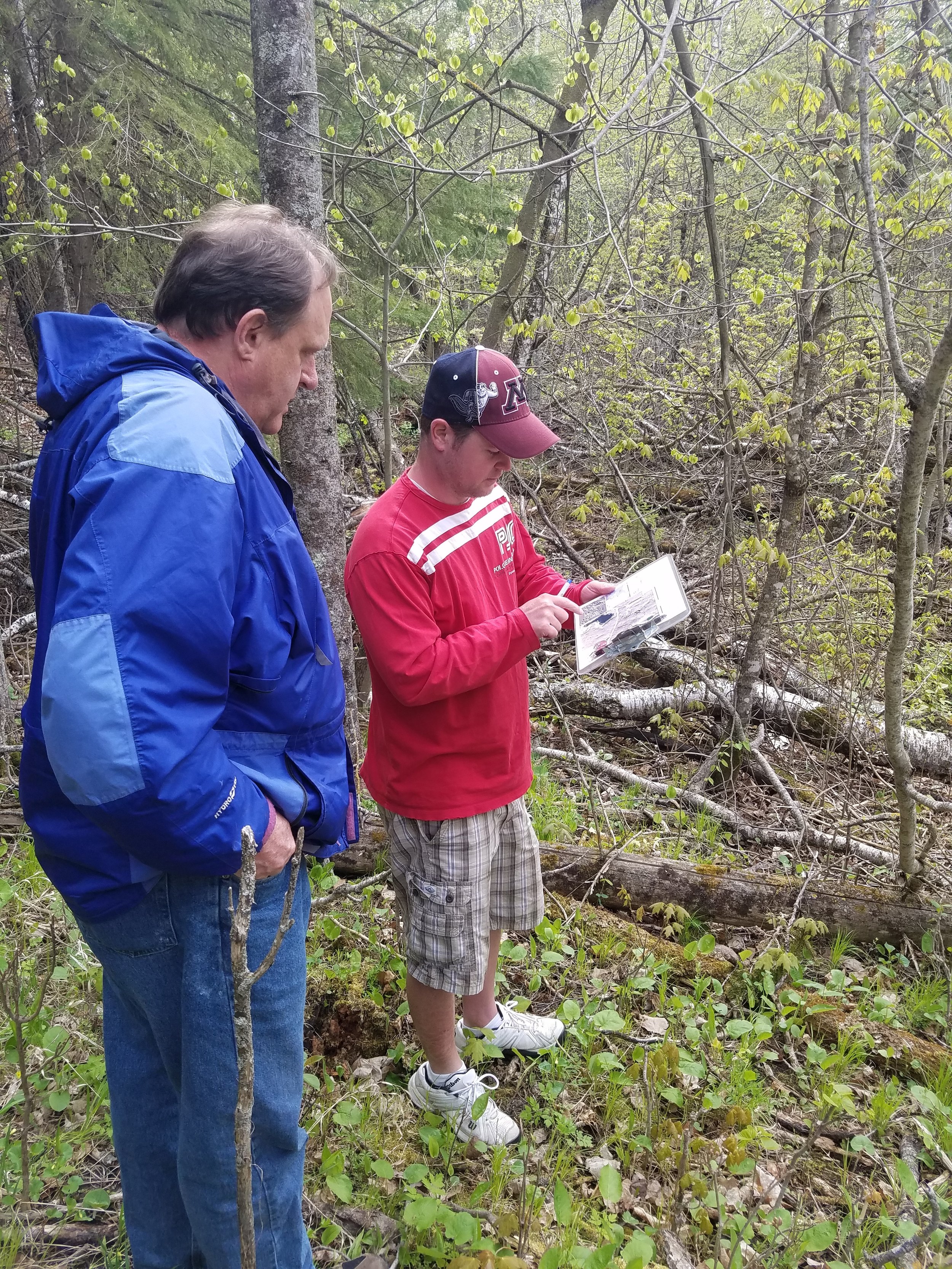
Under the guidance of SMU Biology Department faculty and GSS staff, the students worked to control invasive plant species in wetland and prairie restorations, established and sampled vegetation plots, collected aquatic data from the on-site lake, and helped to document 170 plant species on the property, over which 120 are native! This year, interns also documented bird and small mammal species found on site.
The Cascade Meadows interns and supervisors Kathy Allen (GSS) and Moni Berg-Binder (Biology) shared lessons learned from the Cascade Meadow and how it related to other native plant gardens during a presentation August 29th at the Cascade Meadow Center as part of the Stormwater Presents Speaker Series, a monthly program featuring topics related to stormwater management in the City of Rochester. The interns are also preparing a poster about their vegetation samples results to present at an undergraduate research conference fall 2017.

Presenting at the Stormwater Presents Speaker Series
GSS Spotlight!
Reed Fry
Student Intern
What is your background in education and professional experiences?
In 2014, I received a B.S. Business Administration degree from Drake University in Des Moines, Iowa. I spent the following two years working as a commercial underwriter for a community bank. My internships in college included work in finance, marketing, and recruitment.
What made you get into GIS? More specifically, how did you get to Saint Mary's University of Minnesota (SMUMN) in Winona?
Maps have always intrigued me. They are an interesting blend of purposeful data representation and art. In December 2015 I discovered the field of GIS while speaking to a family friend and by the end of January 2016, I had already sent in my application to SMUMN. Before committing to the program, I visited Winona and was impressed with how beautiful the town was and how friendly the staff at SMUMN were. Speaking with John Ebert (GIS Dept. Program Director) during my visit erased any doubts I may have had to fully commit.
Explain briefly a project at GSS you've done that contributed to your GIS knowledge and skillset.
For a period of two months, I worked with Kevin Benck (GSS GIS Analyst) on a project with The Nature Conservancy to analyze the relationship between land cover and water quality protection in the Cannon and Zumbro watersheds of southeast Minnesota. I learned about appropriate data acquisition, hydrology analysis, elevation analysis, ensuring data integrity, and generating an articulate and comprehensive report for our client. I plan on using this analysis for my graduate project in order to receive my M.S. in GIS.
You were accepted into the Esri User Conference (UC) 2017 student assistant program! How did you hear about this position and what was your experience like?
I first heard about the Esri UC from Andy Robertson, the director of GSS, in December 2016. He referred me to Hannah Hutchins, a GIS Analyst at GSS, who attended the conference as a student assistant a few years prior.
My experience was very fulfilling! All 60 student assistants are considered Esri employees for the duration of the conference. While working a shift or taking advantage of my free time to explore the conference center, I met thousands of people from all walks of life from all over the world. I developed close connections with GIS professionals from 42 to 50 states and three foreign countries: Canada, Indonesia, and Switzerland. This does not include the close relationships that grew from working with my 59 student assistant peers. By the end of the conference, the student assistants became close friends. We keep in touch by using a group Facebook page. We plan on using the page to stay connected, discuss GIS topics and questions, and inquire about career advice!

How do you see GIS fitting into your future?
If GIS isn't all-encompassing, it's close. It can be used in many fields such as natural resource conservation, supply chain management, economic analysis, political analysis, emergency planning management, military operations planning, and urban planning. I hope to use my skills for natural resource conservation, economic analysis, or urban planning for my professional career. I can also use GIS in my free time! I recently reached out to one of my favorite authors who wrote a biography of Andrew Jackson. I would love to create an Esri Story Map that readers can use in conjunction with the book to help understand where and when Jackson was depending on the page the reader is on.
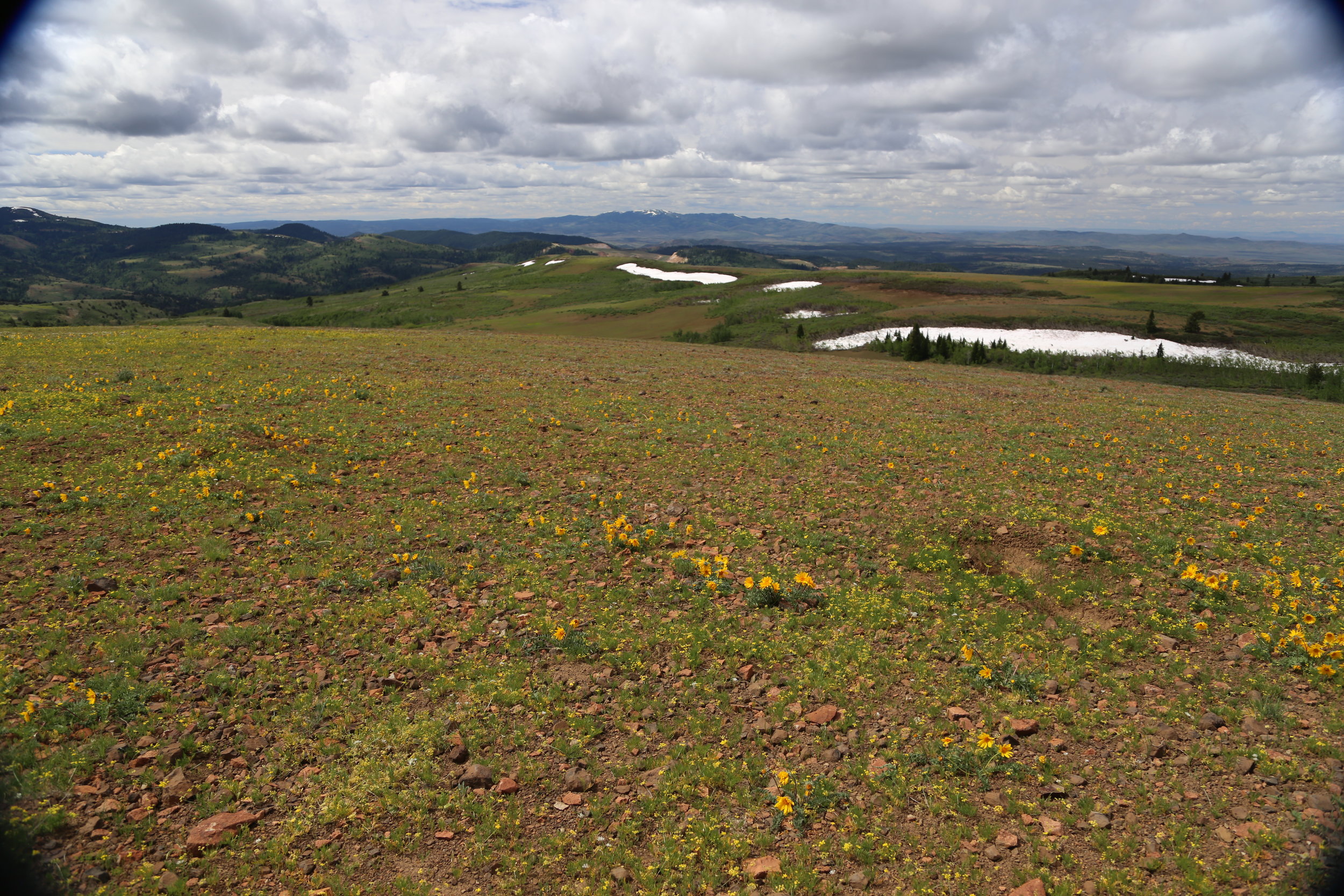
Selawik National Wildlife Refuge, Alaska
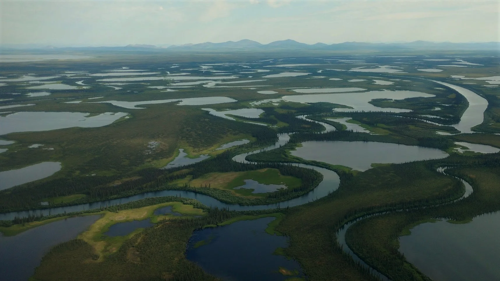
GSS staff (Andy Robertson and John Anderson) and the NWI Region 7 Coordinator (Julie Michaelson) spent nine days doing pre-mapping fieldwork for the Selawik National Wildlife Refuge in northwestern Alaska. The crew traveled the approximately 2.15 million acre project area by helicopter to verify satellite images of wetlands in the coastal plain, tundra, and mountainous areas. Over 200 different wetland sites were visited making it a priority to document the present plant species, and how water is moving and sitting in the wetlands landscape. This documentation is then used to develop a guidance to later remotely delineate and classify these wetland features.
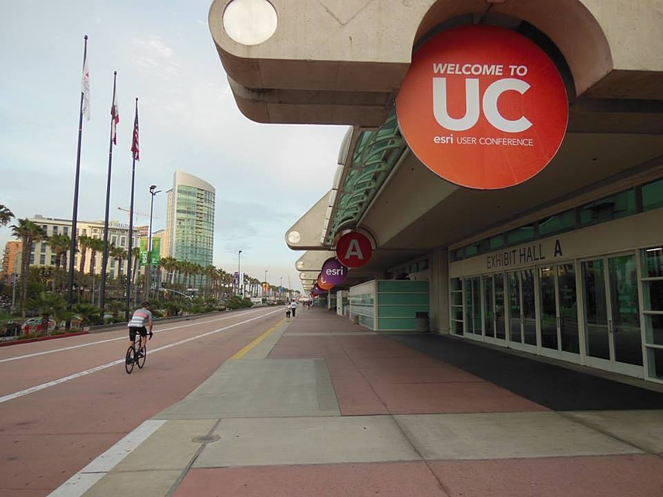
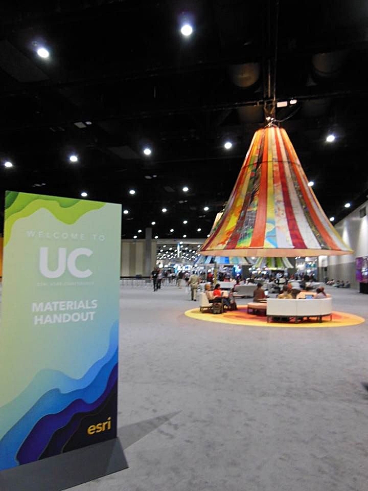
GSS Staff at World's Largest GIS Conference
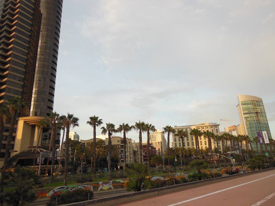
Environmental Systems Research Institute (Esri) produces the most widely used software for GIS. GSS and Saint Mary's University of Minnesota use this software to do much of their work. This year’s annual conference for international users was held during July 10-14, 2017. This five-day event held at the San Diego Convention Center exposes approximately sixteen-thousand Esri software users to over one thousand presentations, hundreds of hours of available training sessions, and over three hundred exhibitors. Topics that employ GIS in this conference can range from Archeology and Agriculture, from Petroleum to Public Health, to and Water Resources and Wildland Fire.
Two staff members from GSS attended and presented at this conference. Kevin Stark, Project Manager at GSS, presented on an ongoing project to build a website to communicate tribal wetland importance using Esri Story Maps. Kevin Benck, a GIS Analyst at GSS, gave two different presentations. His first presentation covered a recently completed online Story Map on Wetland Jewels on Santa Fe National Forest lands in New Mexico. His other presentation was on how GSS is working with Douglas County, Wisconsin environmental staff to incorporate data from a wetland functional assessment, recently completed by GSS, into a decision support matrix used to set wetland preservation, enhancement, and restoration priorities and support ongoing and future watershed planning efforts in the county. Both staff members also were busy at the conference learning from Esri staff and other users through the available presentations, direct technical expertise discussions, and demonstrations. Some of the topics that were their focus included watershed, stream networks, and floodplain mapping techniques; ArcMap Editing tips and tricks; LiDAR and GIS applications; ArcGIS Pro; Portal for ArcGIS; and many other topics.
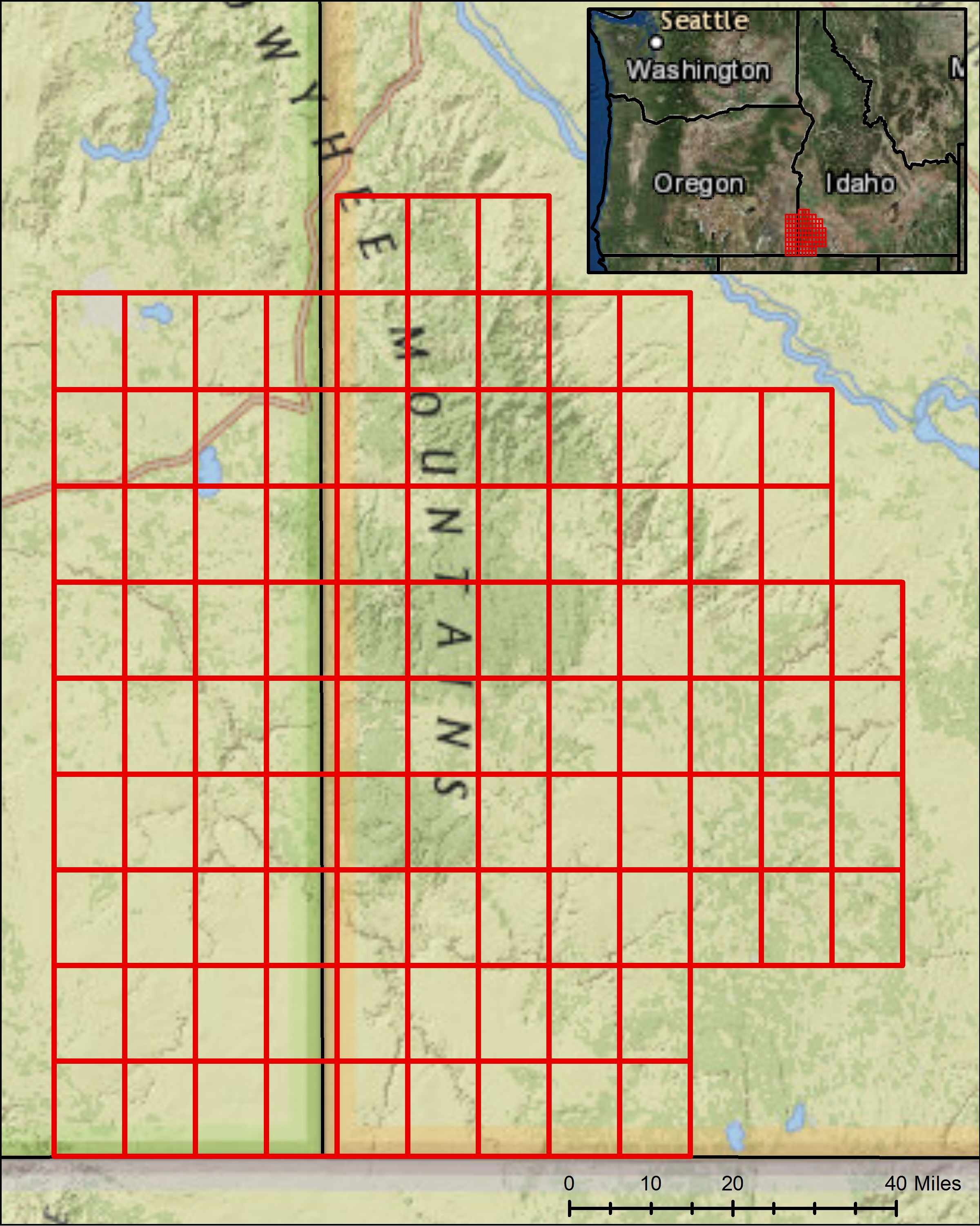
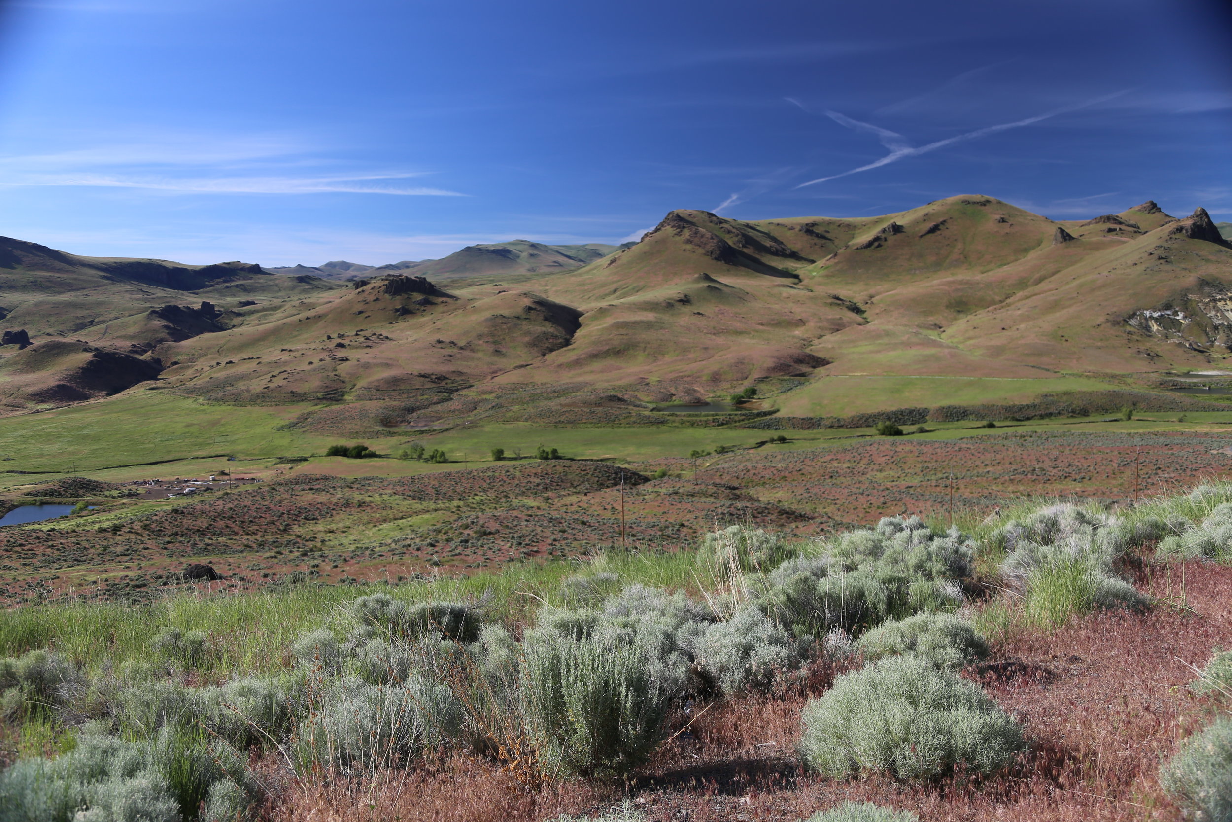
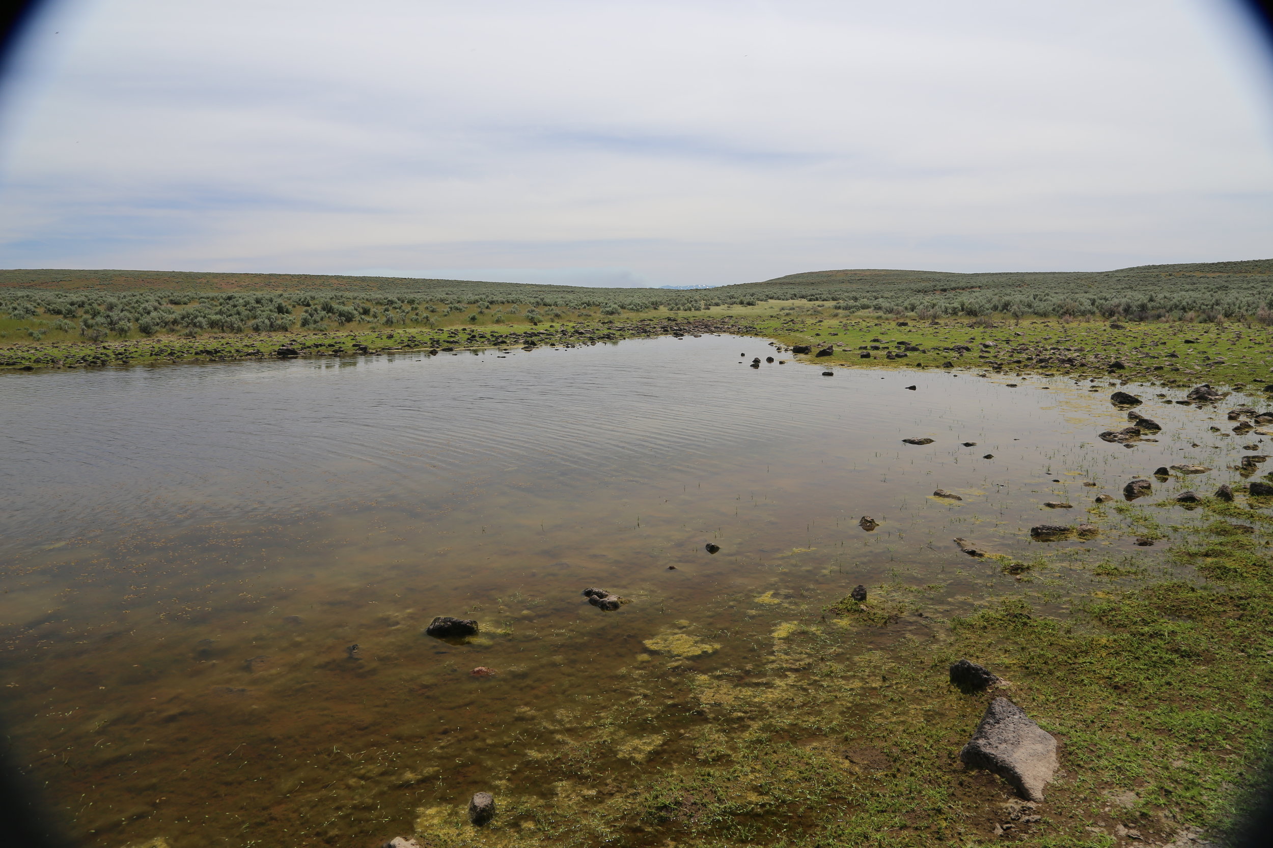
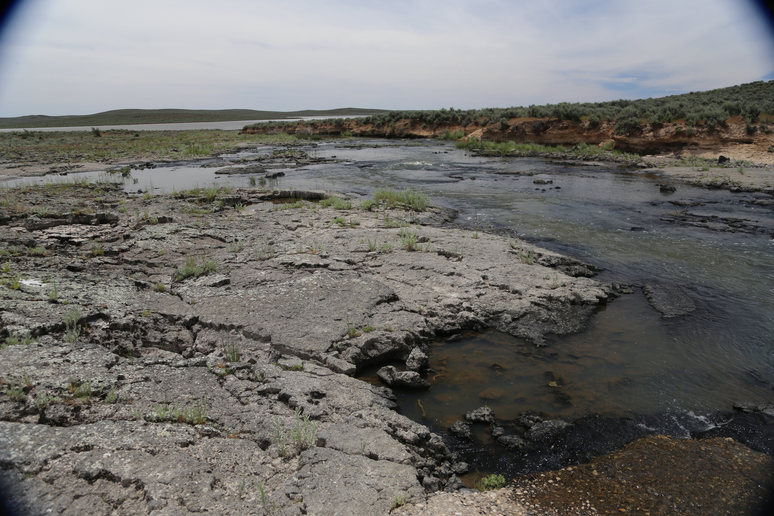
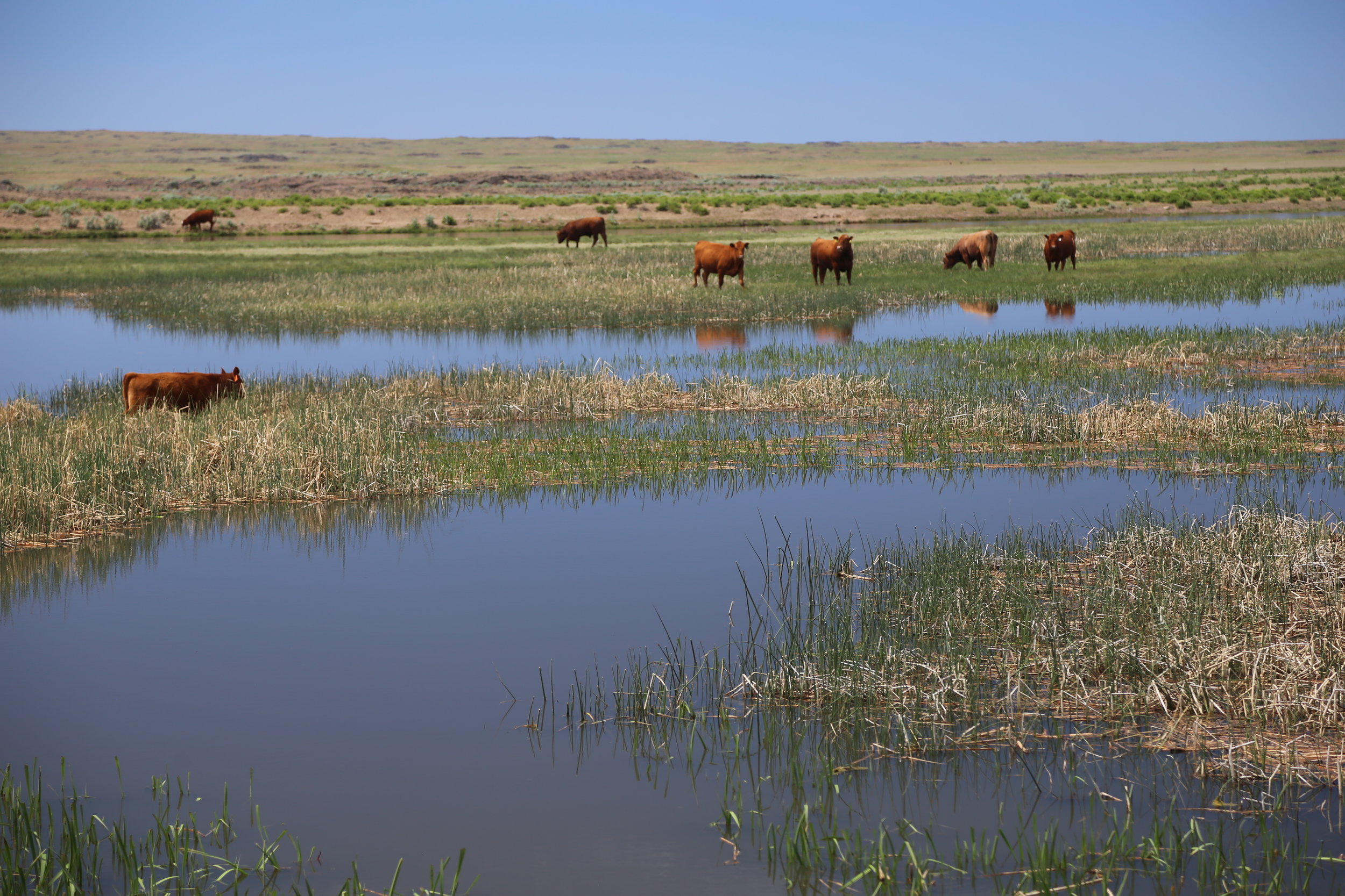
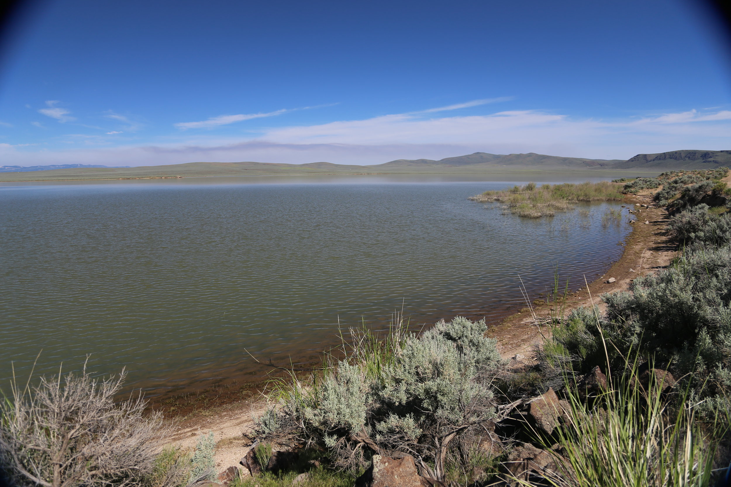
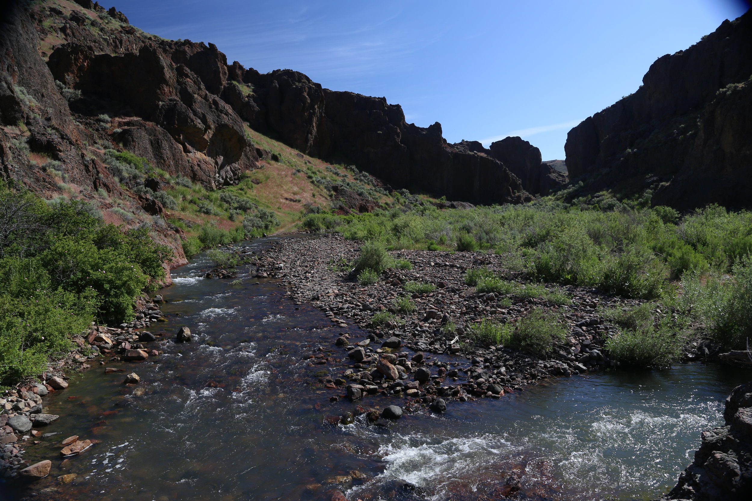
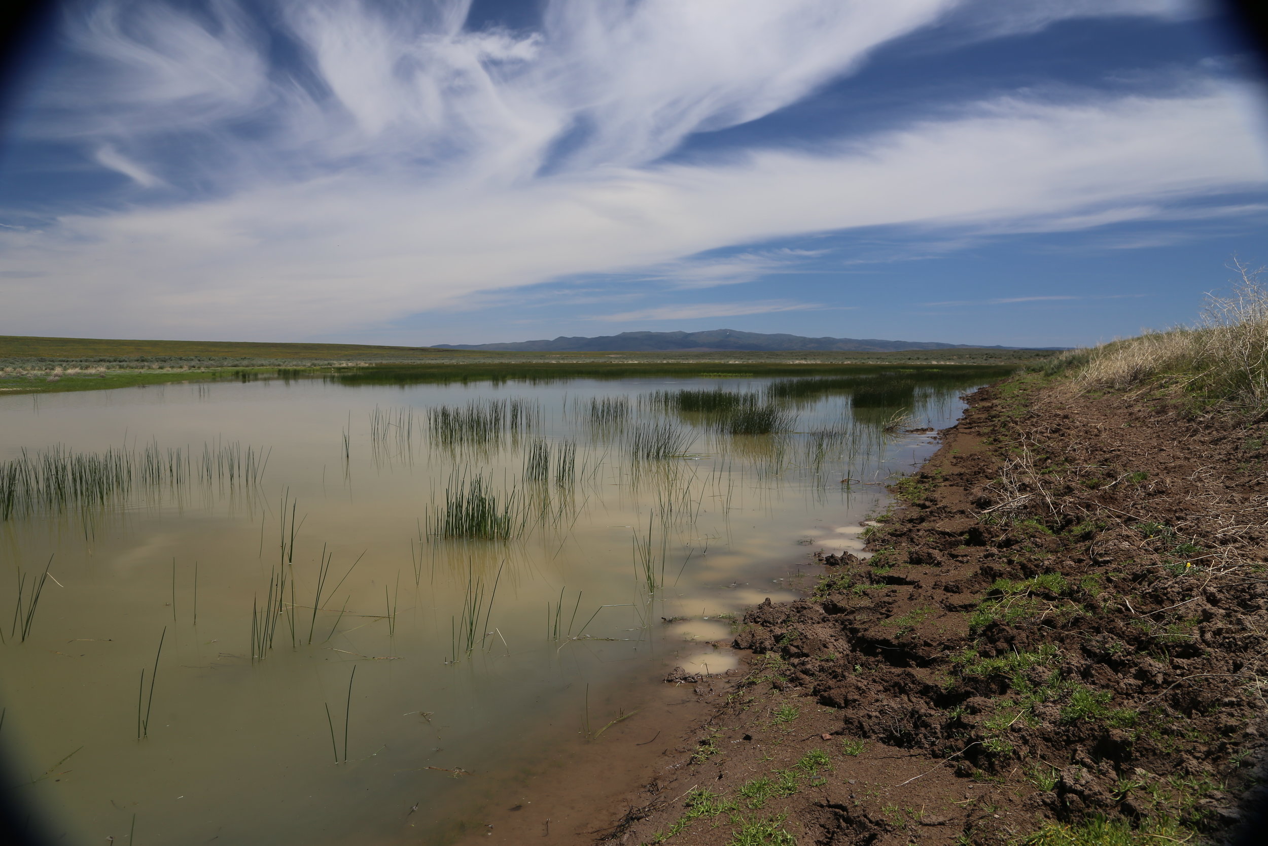
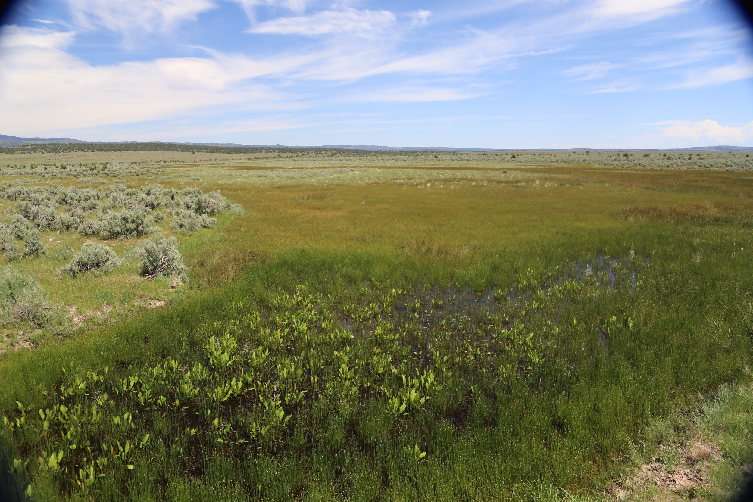
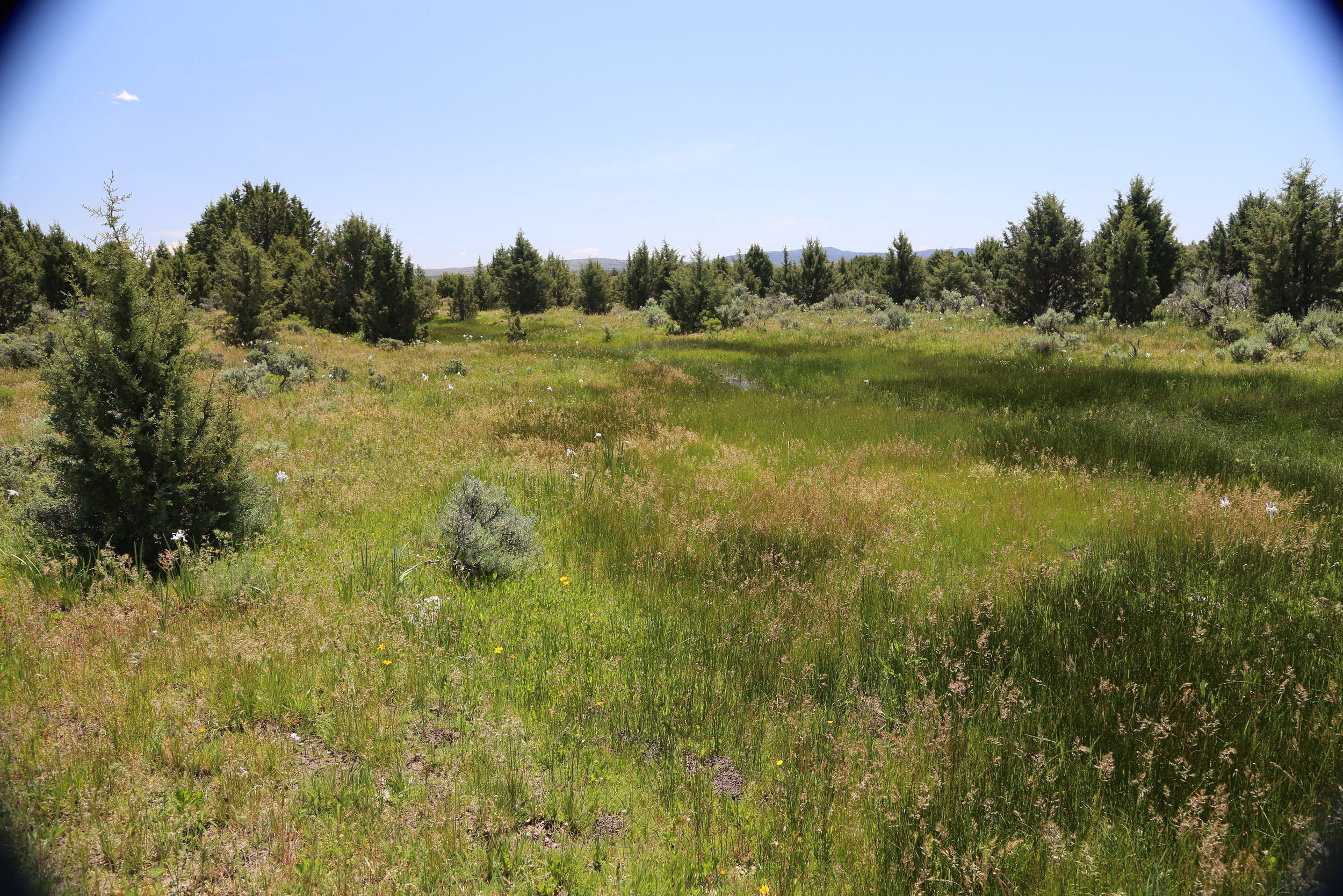
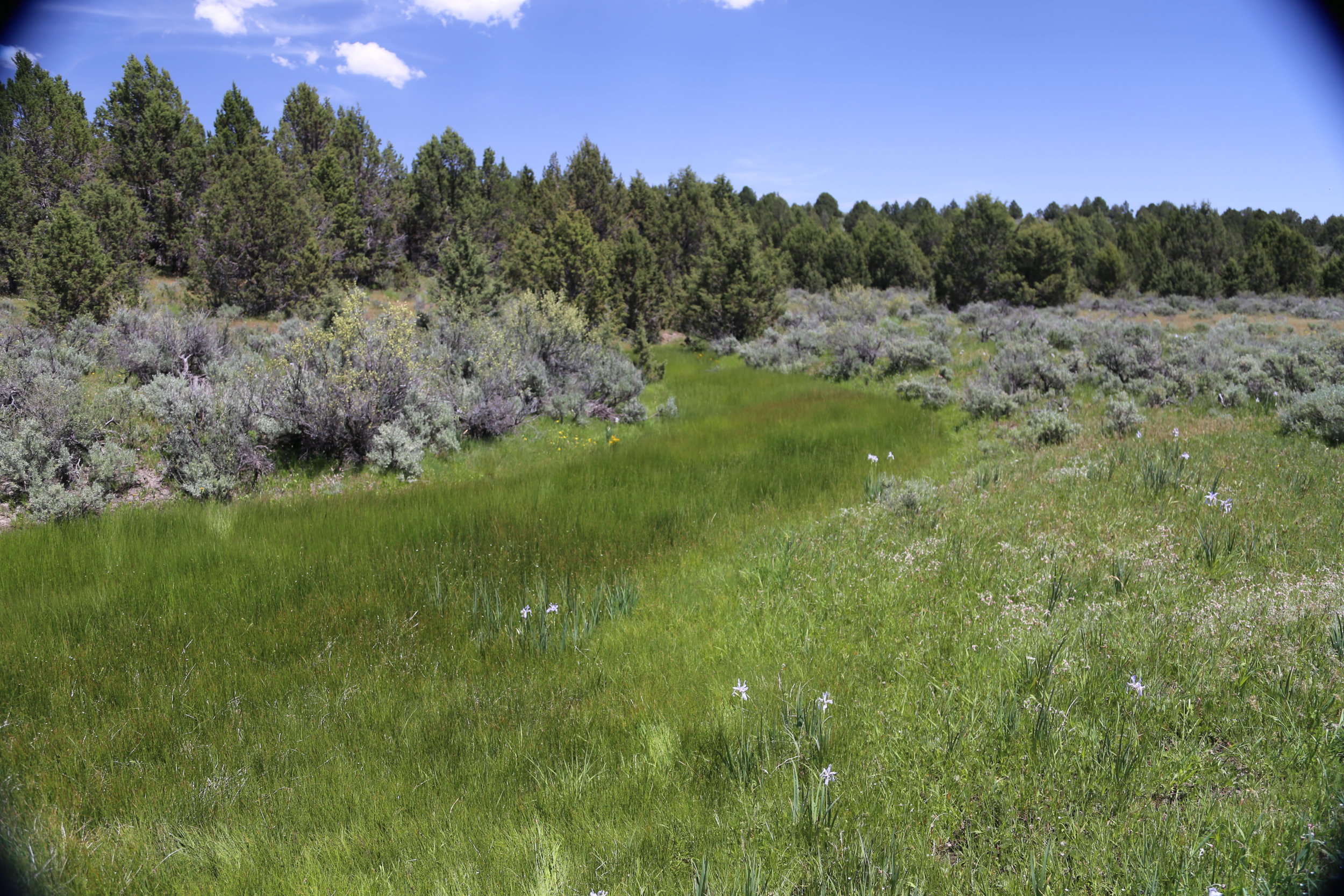
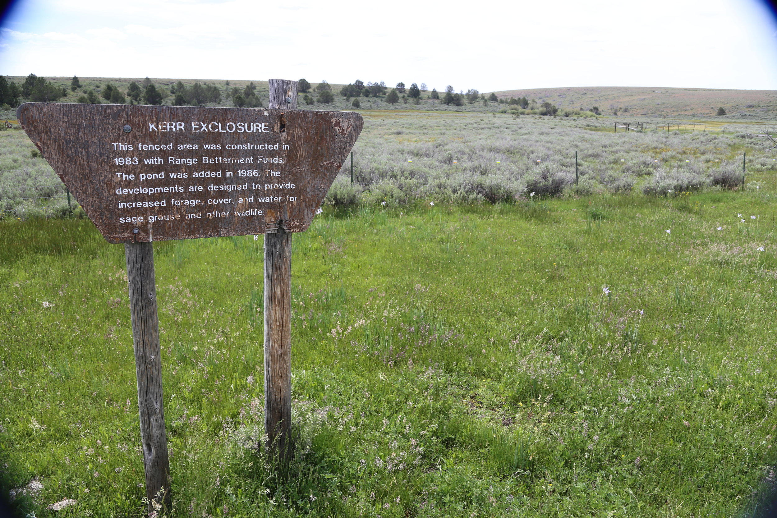
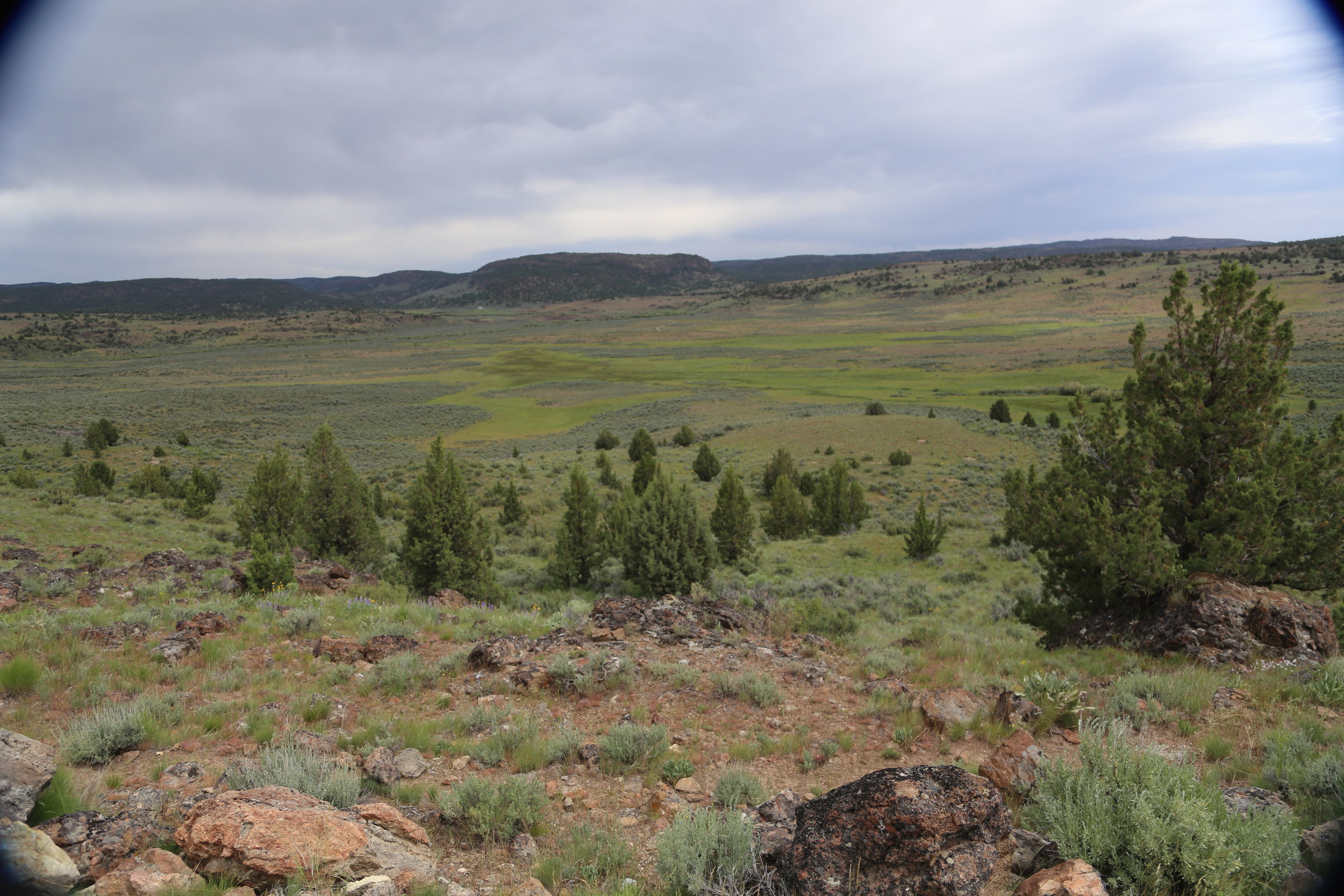
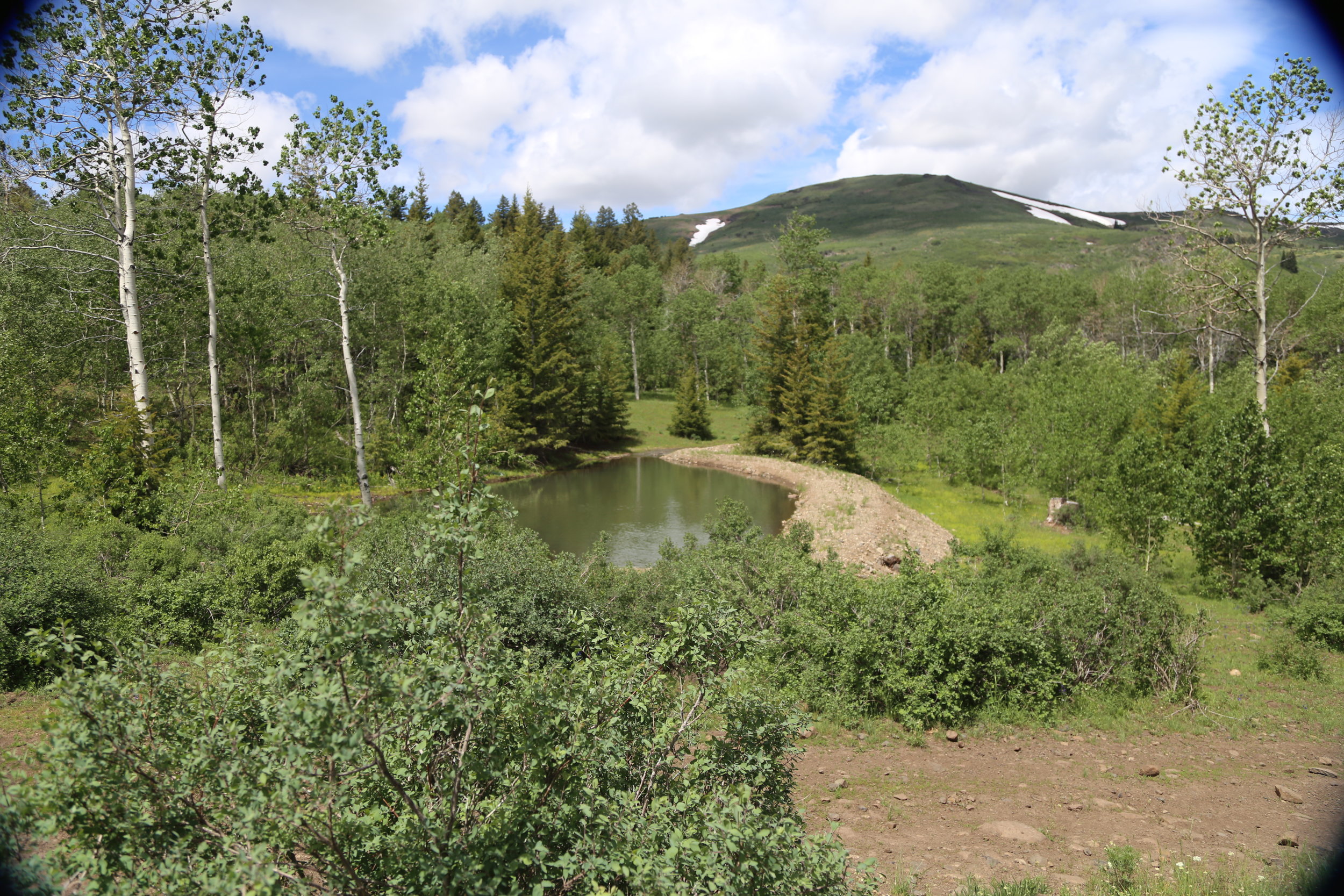
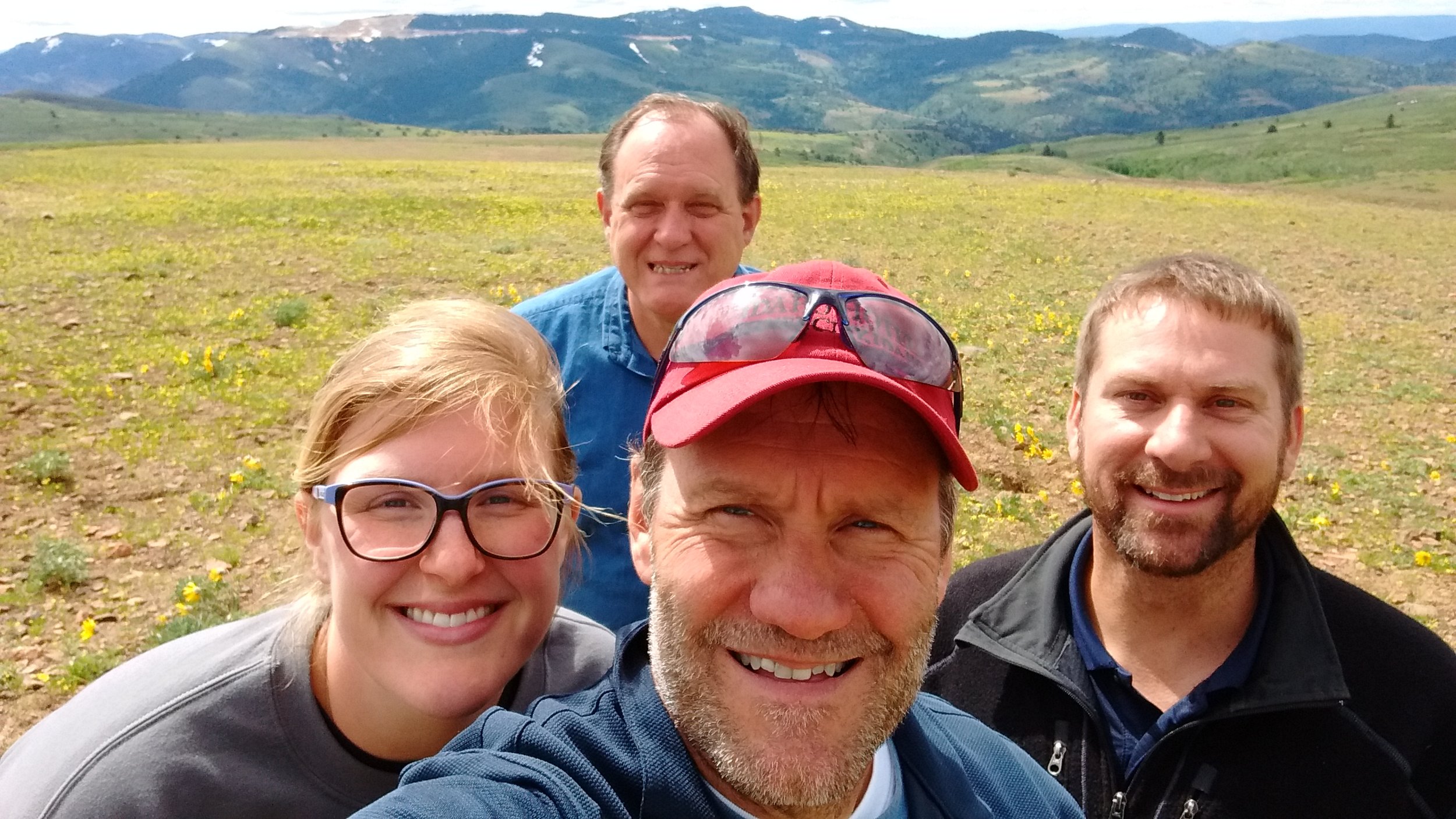
SW Idaho/SE Oregon BLM Fieldwork
GSS staff members (Hannah Hutchins, Andy Robertson, John Anderson, and Kevin Stark) spent a week (June 5 - June 9) doing pre-mapping fieldwork for the Bureau of Land Management Wetland and Riparian Area Mapping and Assessment Project. The crew traveled approximately 2,000 miles across high plains and rugged mountain terrain. Over 150 different wetland sites were visited making it a priority to document the present plant species; how water is moving through and sitting in the wetland landscape; and what, if any, surrounding land use practices are potentially affecting the wetland feature at hand.
With the pre-mapping fieldwork complete, GSS will begin remotely mapping the ~3.5 million acre study area (100 USGS quads). Once mapping and classifying these arid west wetlands is complete, a wetland functional assessment will be performed to determine the water quality and habitat functions the wetlands can provide to the surrounding ecosystem.


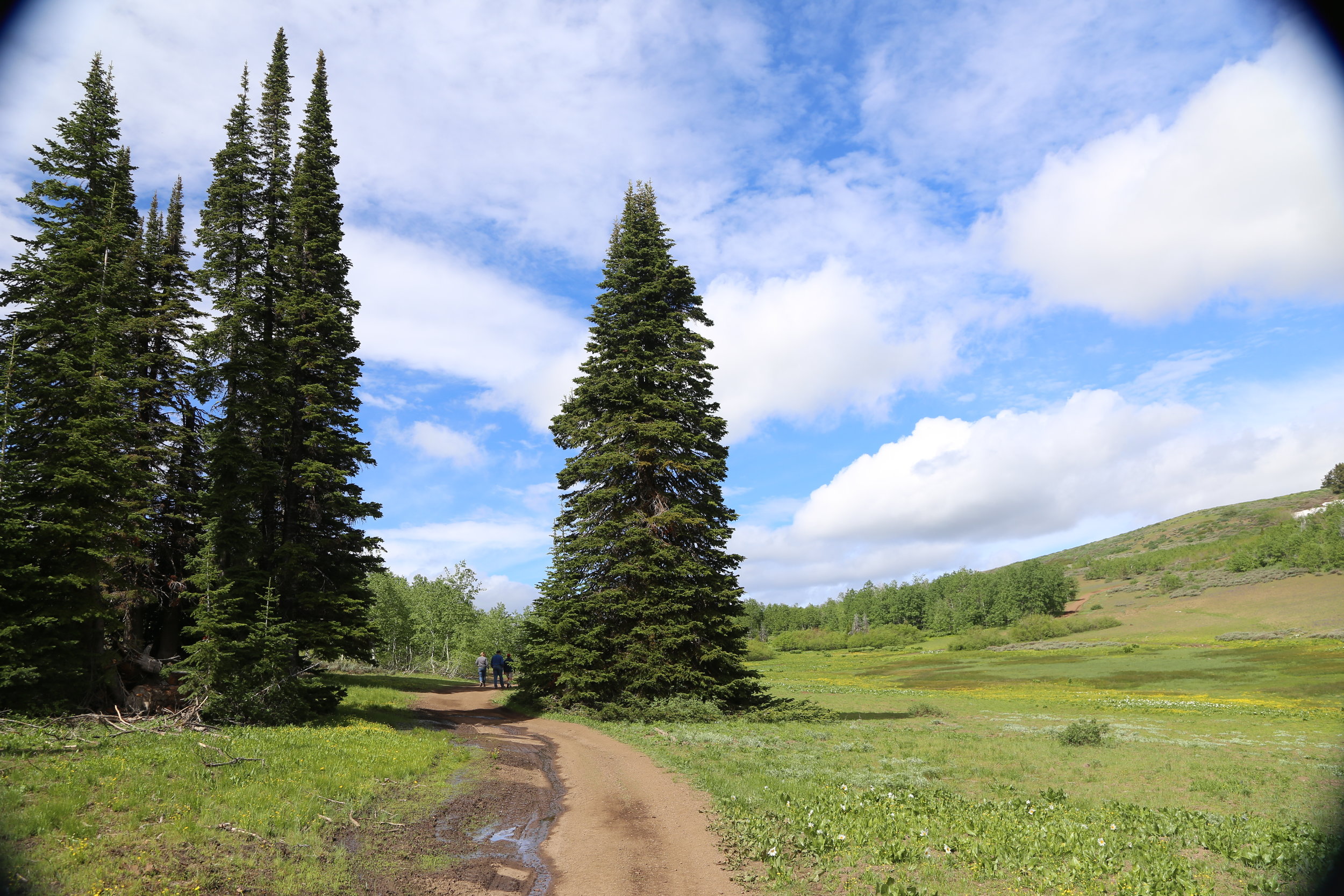

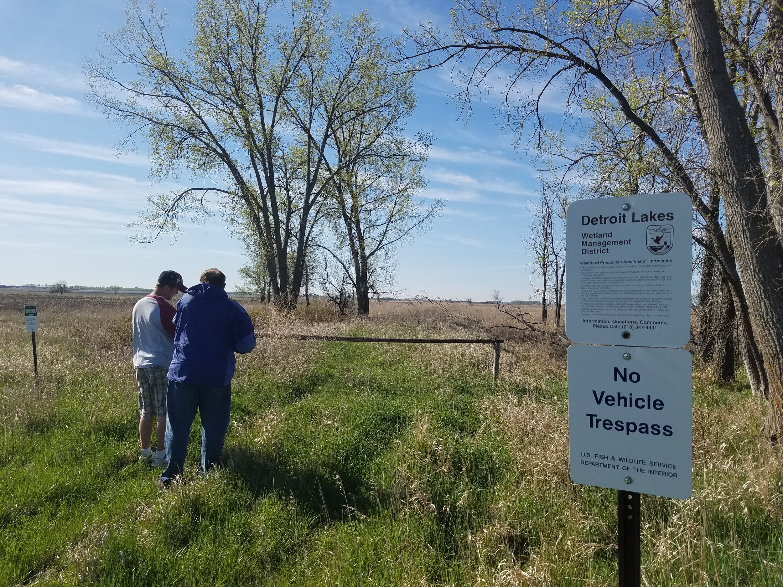
Northwest Minnesota NWI Update: Spring 2017 Fieldwork
From May 7th through the 12th, GSS staff members of the Northwest MN NWI Update team headed up to the north country for another fieldwork trip. Eric Lindquist, Nick Lemcke, and John Anderson traveled around the project area summarizing characteristics of wetlands, investigating typical and atypical imagery signatures, and validating completed wetland data.
The Northwest MN project area covers the following 19 counties: Becker, Clay, Clearwater, Douglas, Grant, Kittson, Lake of the Woods, Mahnomen, Marshall, Norman, Otter Tail, Pennington, Polk, Pope, Red Lake, Roseau, Stevens, Traverse, and Wilkin. The NWI update started in fall 2016 and is scheduled to be completed in Fall 2018. This project will result in an update of 25 to 30-year-old wetland data and be integrated into the nation-wide NWI database, which is managed by the U.S. Fish and Wildlife Service (USFWS). NWI data can be viewed on the USFWS National Mapper; wetland data updated by GSS can be found here.
River Rally 2017
GSS Director Andy Robertson is presenting at the 2017 River Rally Conference in Grand Rapids Michigan with Rachel Conn of Amigos Bravos and Erik Schlenker-Goodrich of Western Environmental Law Center. They will be presenting on The Wetland Jewels Campaign, a wetland protection program in New Mexico.
From the River Rally Agenda:
The Wetland Jewels Campaign utilizes wetland mapping, stakeholder engagement, and policy advocacy to identify and protect priority wetland resources. Learn how to use GIS wetland data, story maps, and advocacy in planning processes such as National Forest Plan Revisions to protect the crown jewels of your watershed.
Kenai Peninsula Fish Habitat Partnership Science Symposium
On April 5th through the 6th 2017, Jeff Knopf of GSS traveled to Sterling Alaska to present at the Kenai Peninsula Fish Habitat Partnership Science Symposium on the National Hydrography Dataset (NHD) updates that were completed by GSS staff and students on the Kenai Peninsula in partnership with the Kenai Watershed Forum. Jeff's presentation ranged from the overall need for NHD updates across Alaska to the specific process of updating the NHD on the Kenai Peninsula. Jeff also informed attendees at the conference on topics such as NHD requirements and processing to the enhanced NHDPlus database, along with ways to better collaborate with the community to inform them of the work being done to maintain healthy salmon habitats.
EPA Tribal Environmental Program Management Conference
GSS Project Manager Kevin Stark traveled to Chicago to co-present at the EPA's 2017 Tribal Environmental Program Management Conference. Conference attendees included tribal environmental programs across EPA's Region 5, which covers 40 federally-recognized tribes in Minnesota, Wisconsin, and Michigan.
Kevin presented with Angela Waupochick, the Stockbridge-Munsee Community's hydrologist. GSS is currently working with the Stockbridge-Munsee community on a project to incorporate Esri Story Maps, an online and interactive application that combines maps and storytelling, into a website to aid in local outreach to the Stockbridge-Munsee tribal community members and the general public.

ASWM Annual Sate/Tribal/Federal Coordination Meeting
GSS Director, Andy Robertson, presented at the annual Association of State Wetland Managers (ASWM) conference, "Using Sound Science and Effective Communication to Strengthen Wetland Conservation, Restoration and Management", on April 12th, 2017. The conference was designed so agencies across the nation could gather to present their work and share ideas on wetland-related topics. The entire conference lasted from April 11th through the 13th, 2017 and was held in Shepherdstown, West Virginia.