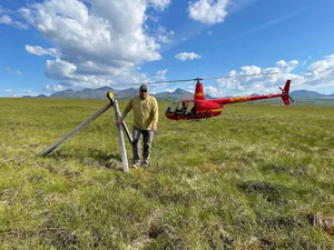
Ground-Truthing above the Arctic Circle in Coldfoot & Wiseman, Alaska
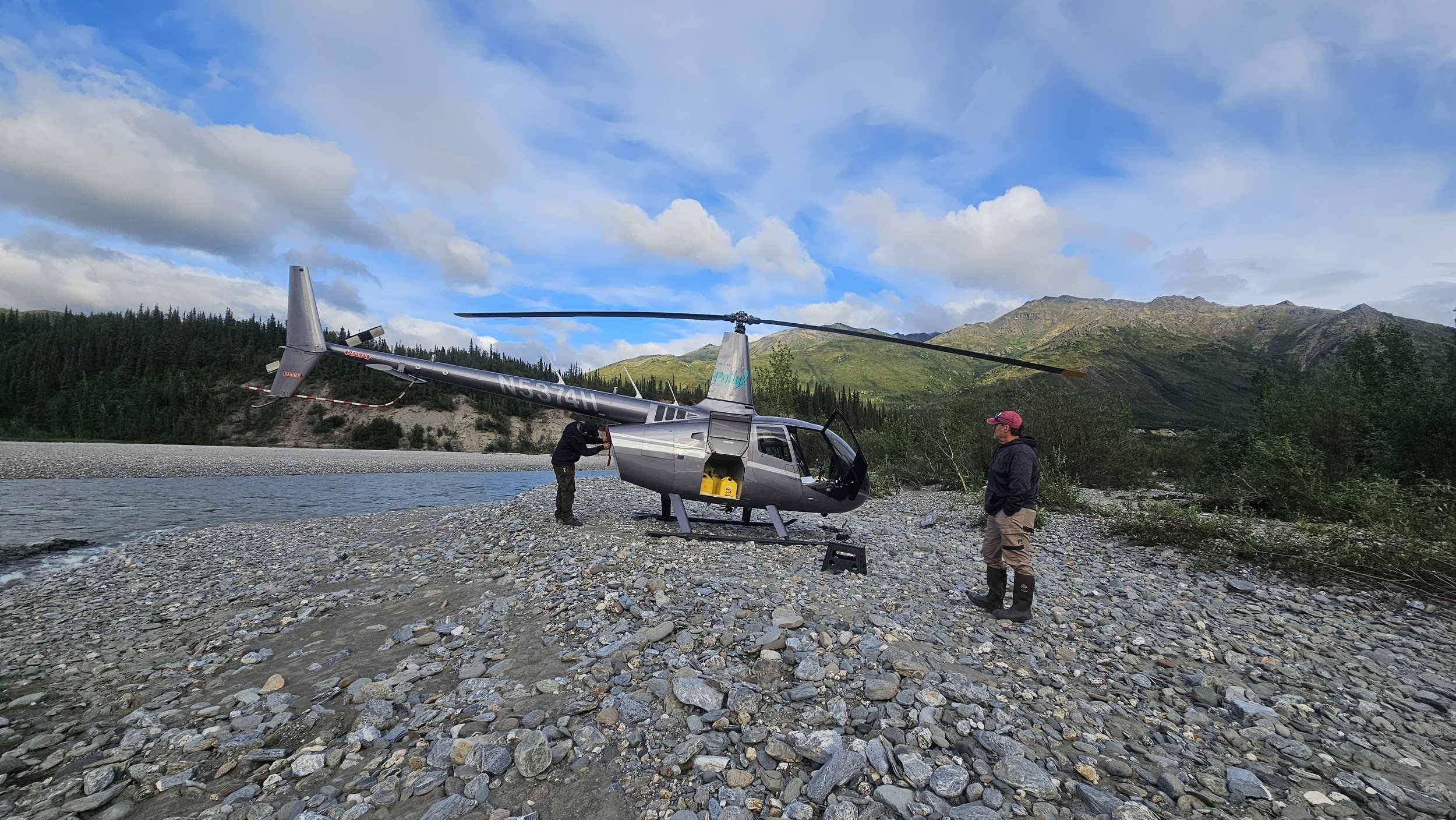
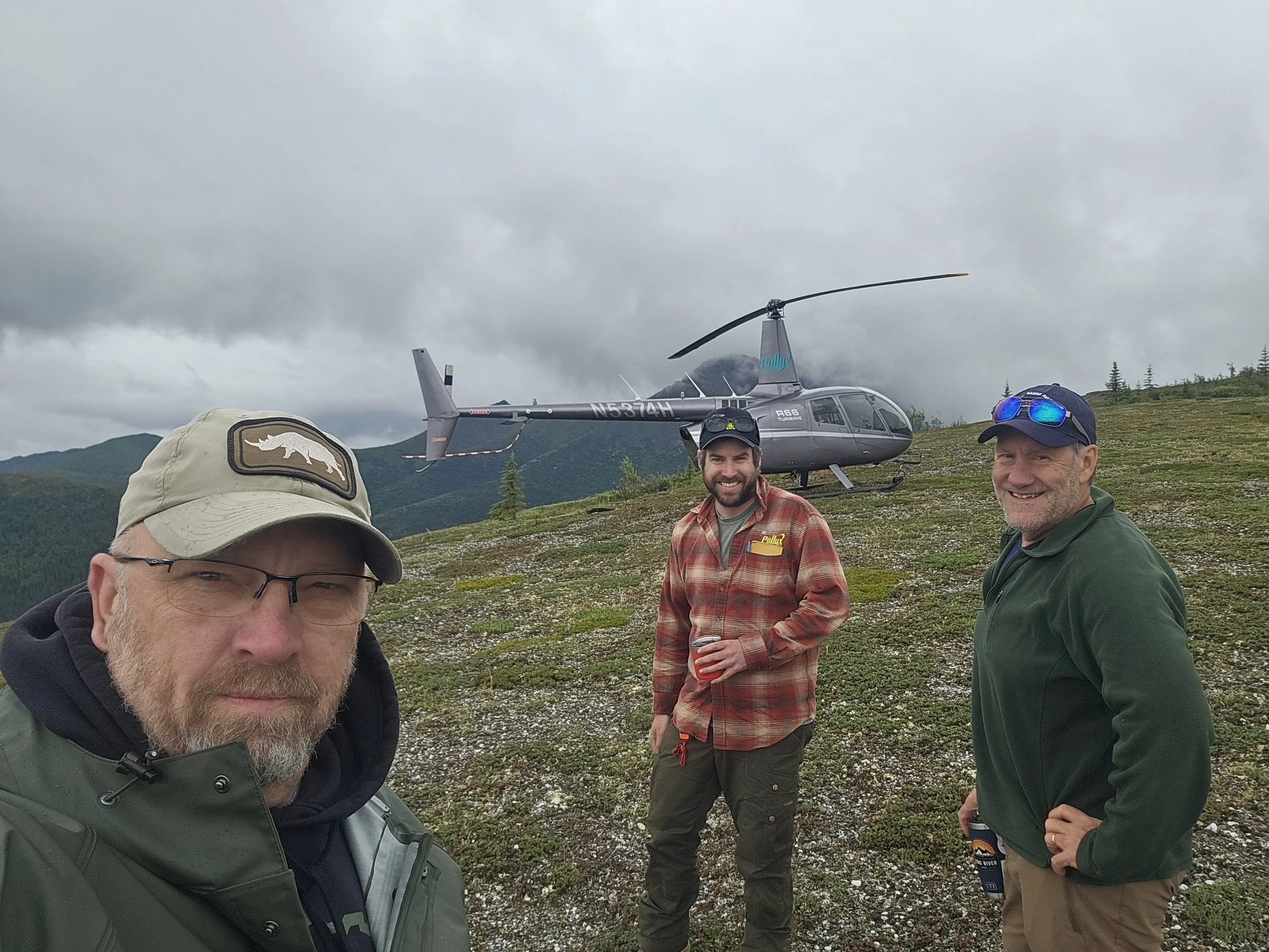
Fieldwork in Alaska requires precision, expertise, and sometimes a bird’s-eye view. From July 11–18, GeoSpatial Services team members Andy Robertson, Ben Moonen, and Eric Lindquist joined forces with a representative from the U.S. Fish and Wildlife Service (USFWS) for a week of intensive mapping verification based out of Coldfoot and Wiseman, Alaska.
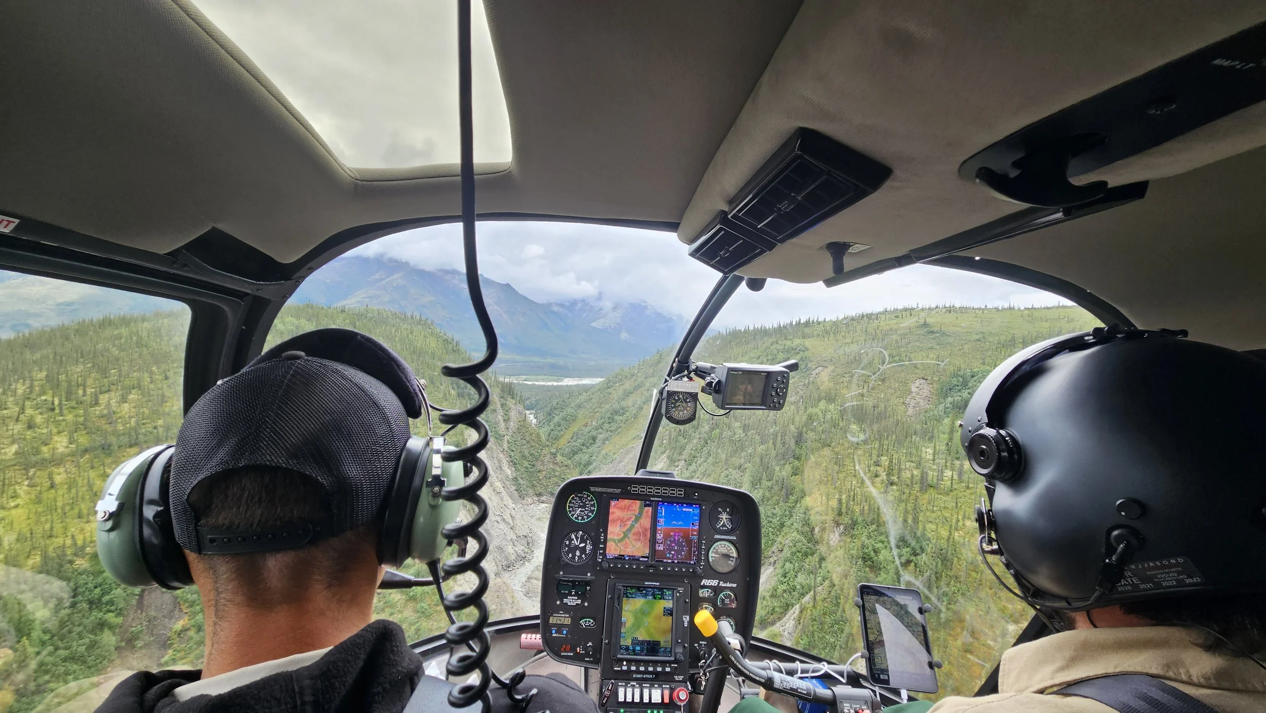
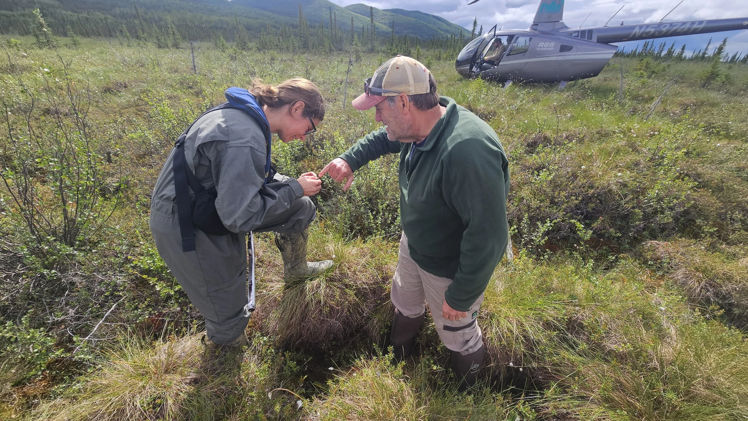
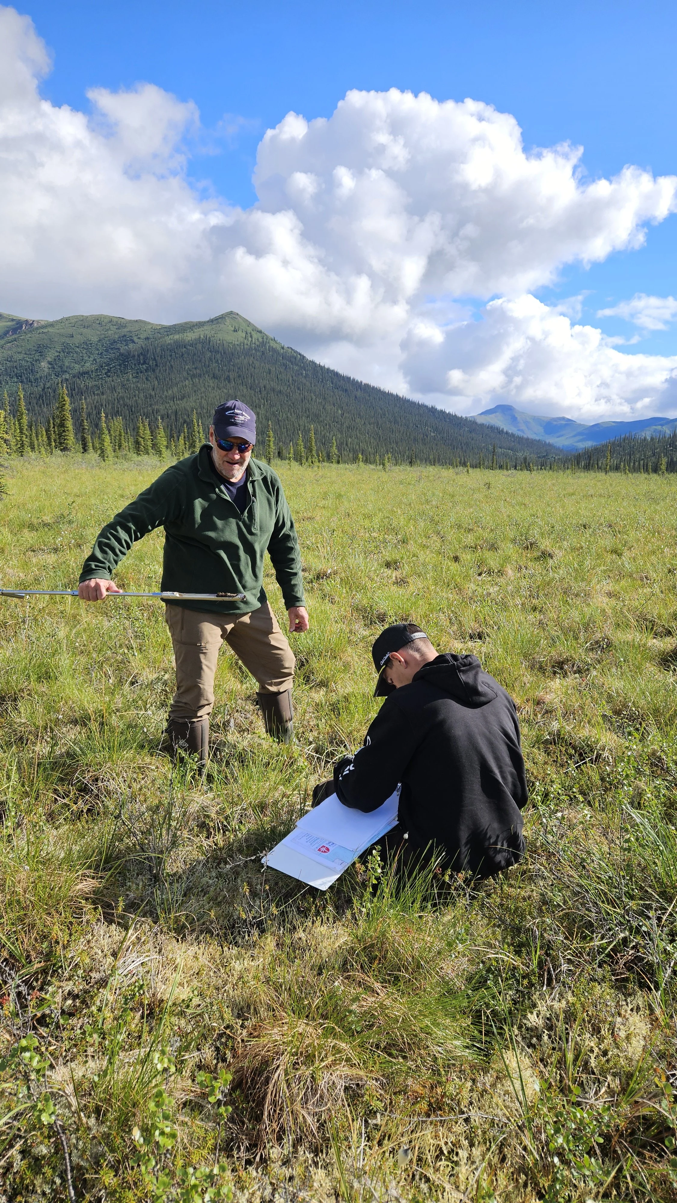
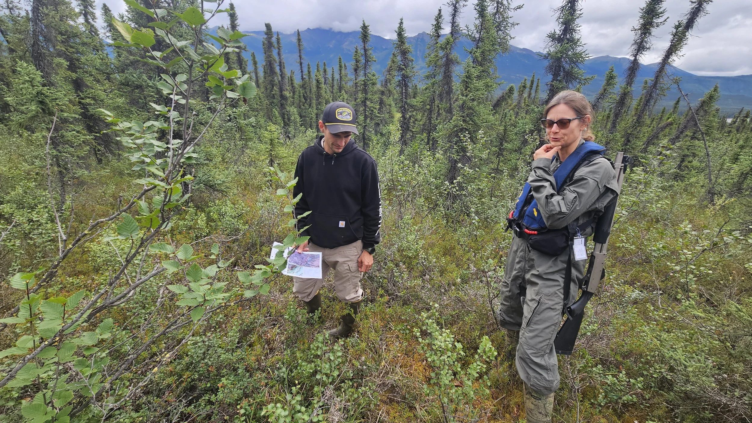
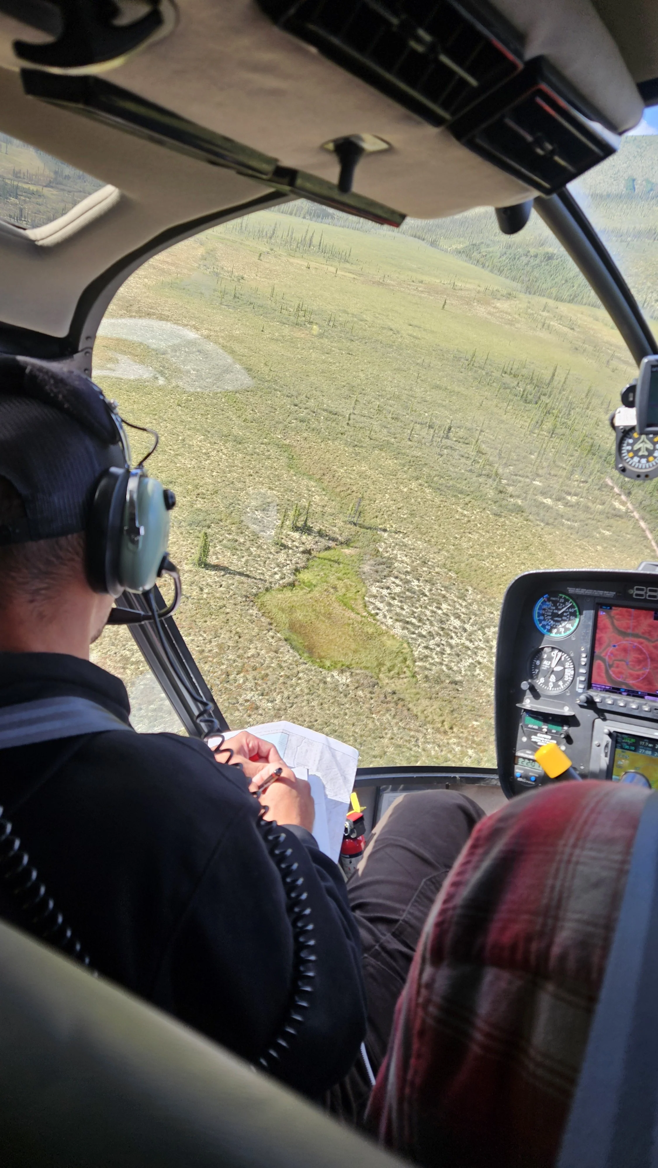
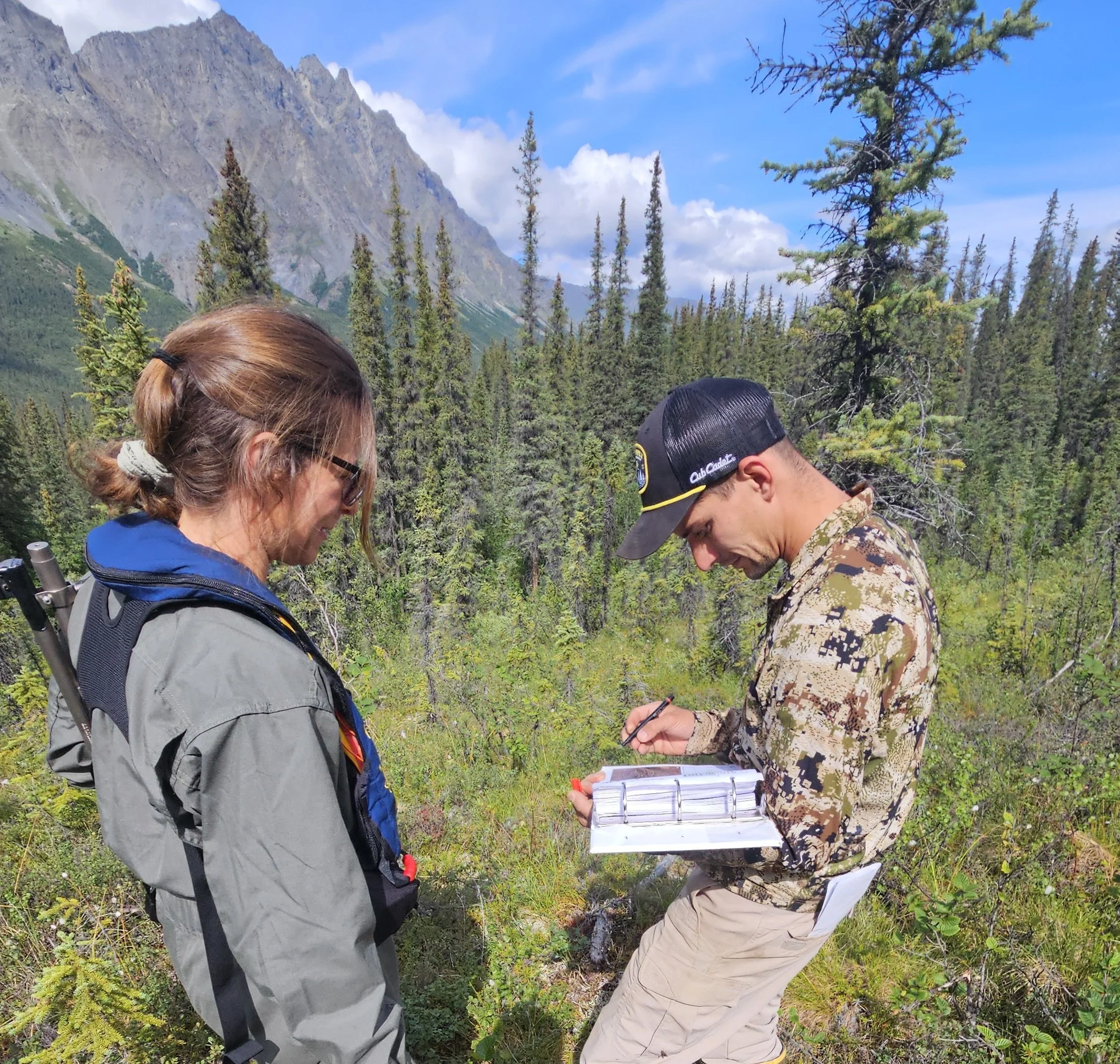
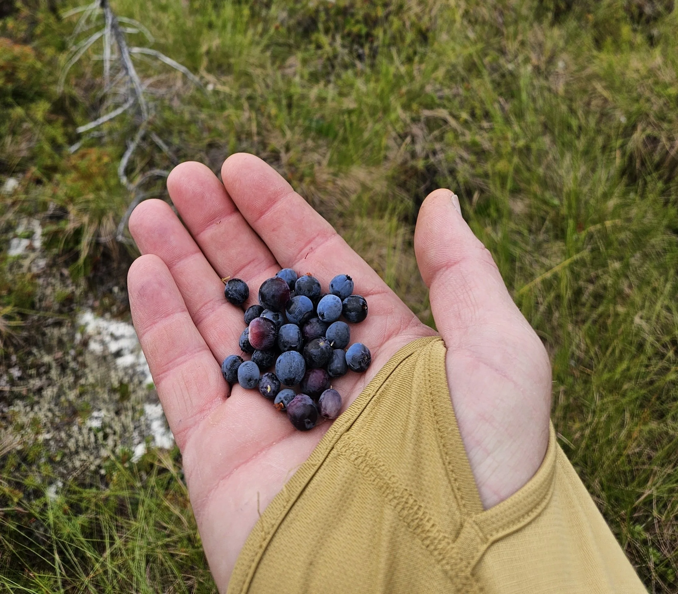
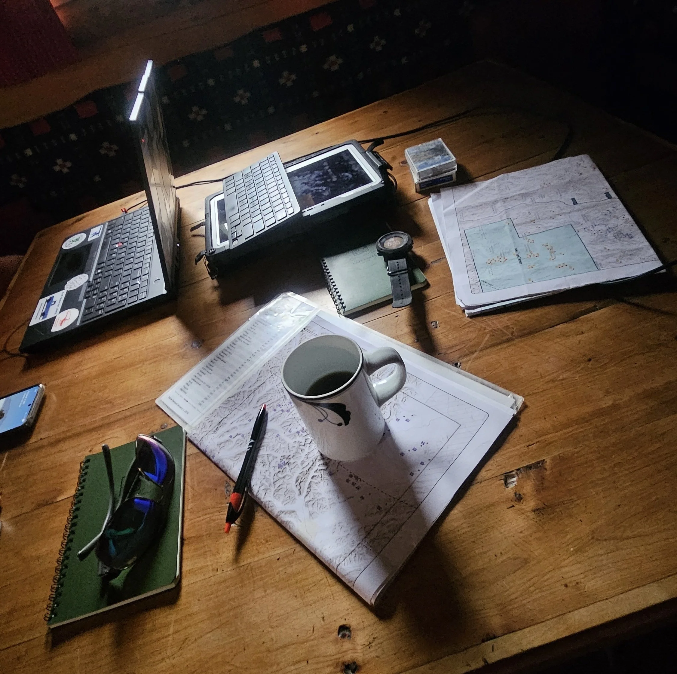
Using helicopter flights to reach remote terrain, the team conducted aerial verification of both past and present mapping projects. This aerial perspective was paired with on-the-ground hiking and detailed investigations into local ecological conditions. By testing our mapping techniques directly against the landscape, our staff gained vital insights into how remote sensing decisions hold up in northern ecosystems—ensuring our spatial data remains as accurate and reliable as possible.
A little fun was also had when Andy Robertson found some time to challenge the lodging hosts in Wiseman, Alaska
to a ‘rustic’ game of North-Of-The-Arctic-Circle Ping Pong!
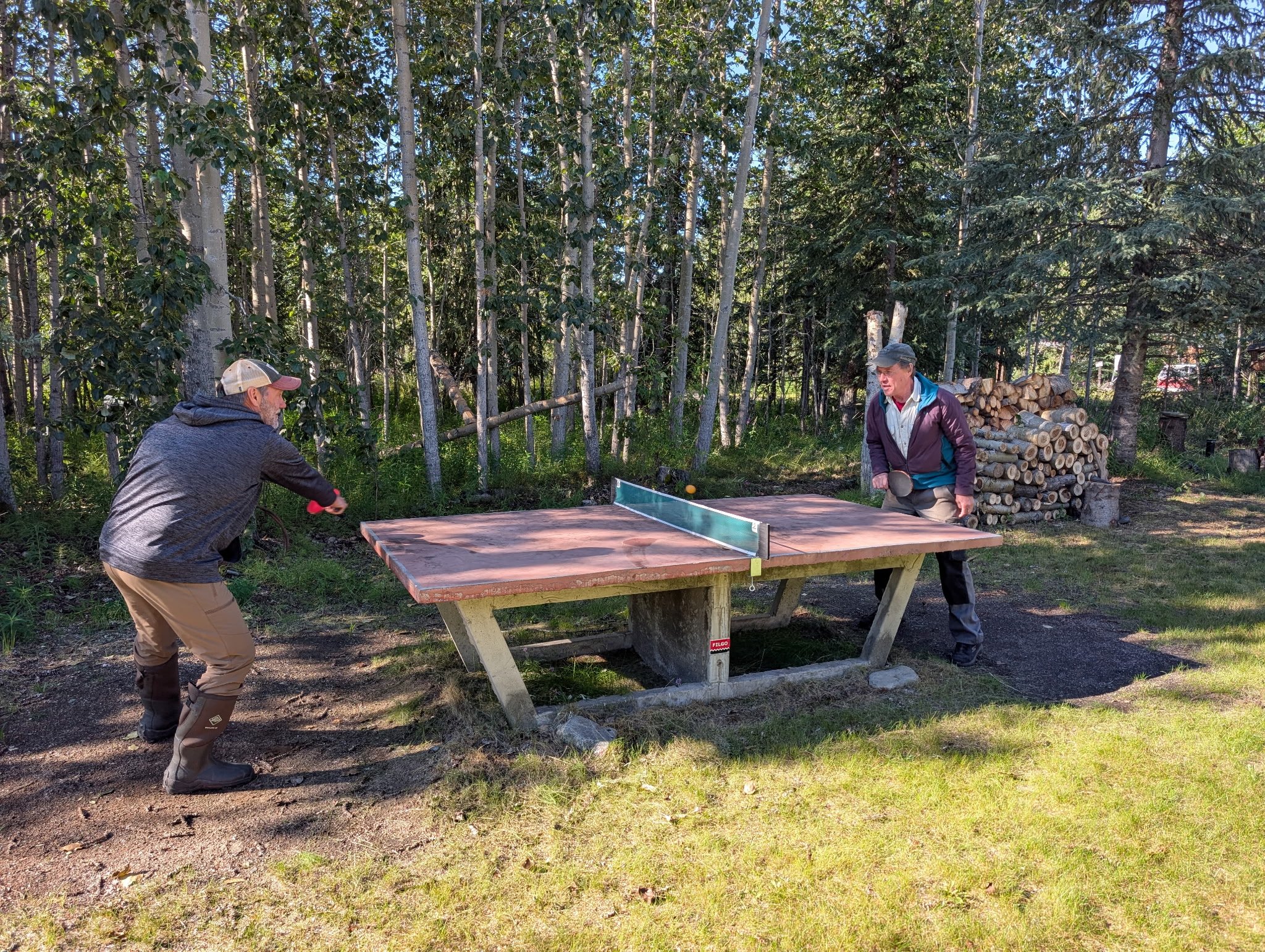
GSS Executive Director, Andy Robertson engaged in a battle of outdoor table tennis with Berni Hicker, of Wiseman, AK.