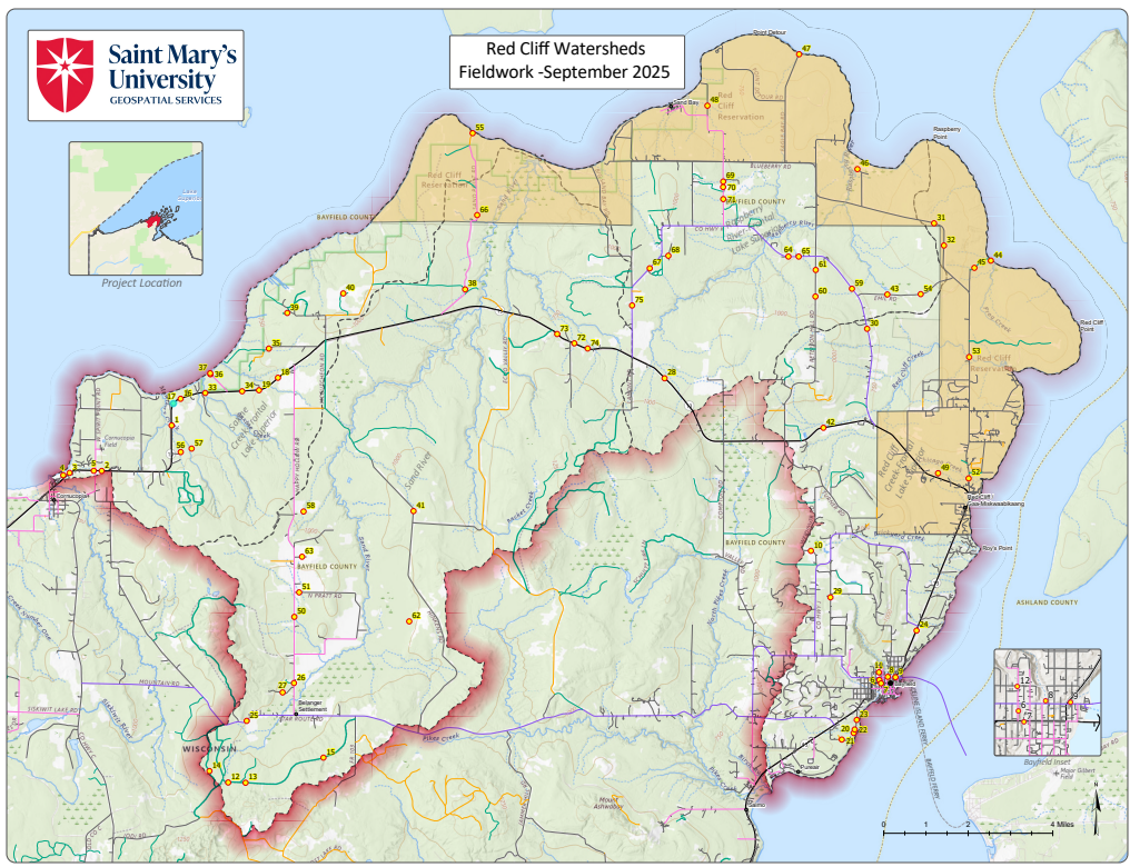
GSS in Bayfield County with the Red Cliff Band of Chippewa
Geospatial Services (GSS) at Saint Mary’s University of Minnesota recently sent three team members to Bayfield, WI and the Red Cliff Band of Lake Superior Chippewa Reservation on the Bayfield Peninsula. The trip was part of an ongoing wetland and functional assessment project designed to support both the National Wetland Inventory (NWI) and the Red Cliff Band of Lake Superior Chippewa.
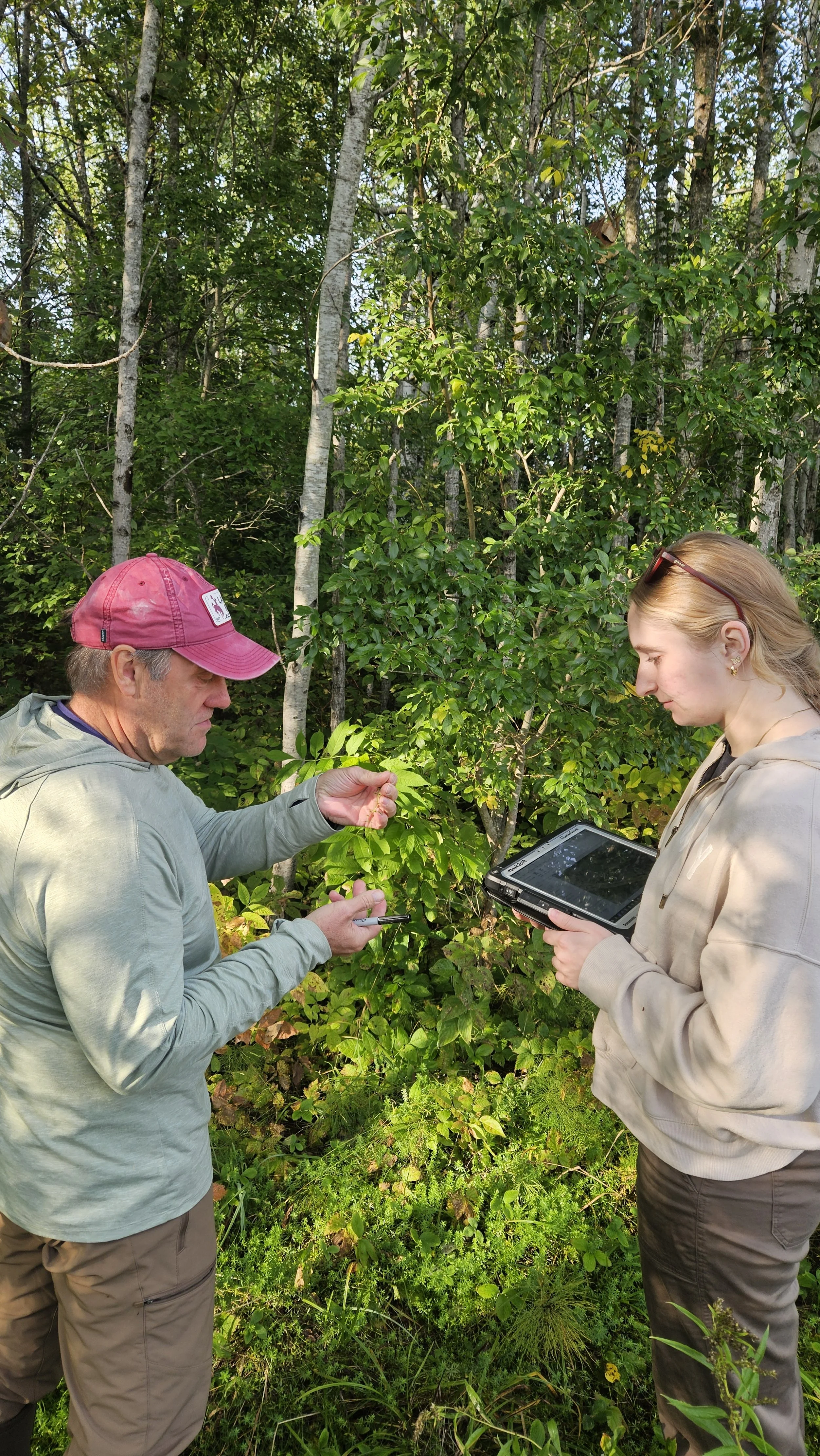
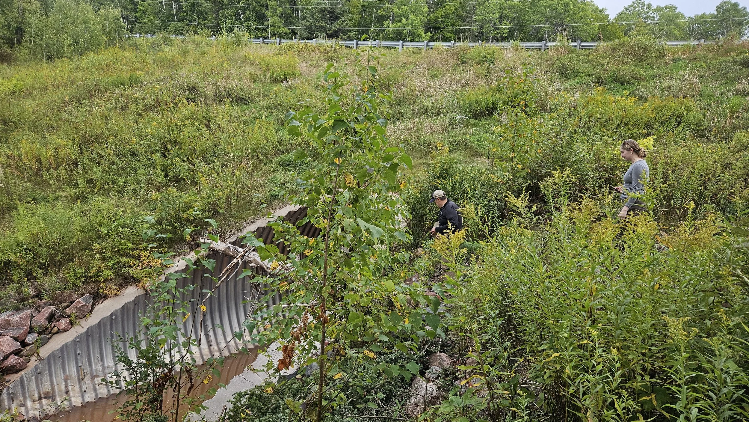
GSS team members Andy Robertson (Executive Director), Eric Lindquist (Project Manager/Analyst), and Kaylee McFarland (GIS Technician) spent three days in northern Wisconsin, working on both tribal and nearby lands. Their main goal was to verify aerial imagery and wetland mapping previously developed by GSS.
The team was welcomed by Jessica Jacobson, Wetland Specialist for the Red Cliff Band, who shared insights on the tribe’s wetland resources and joined the team in the field.
Fieldwork Highlights
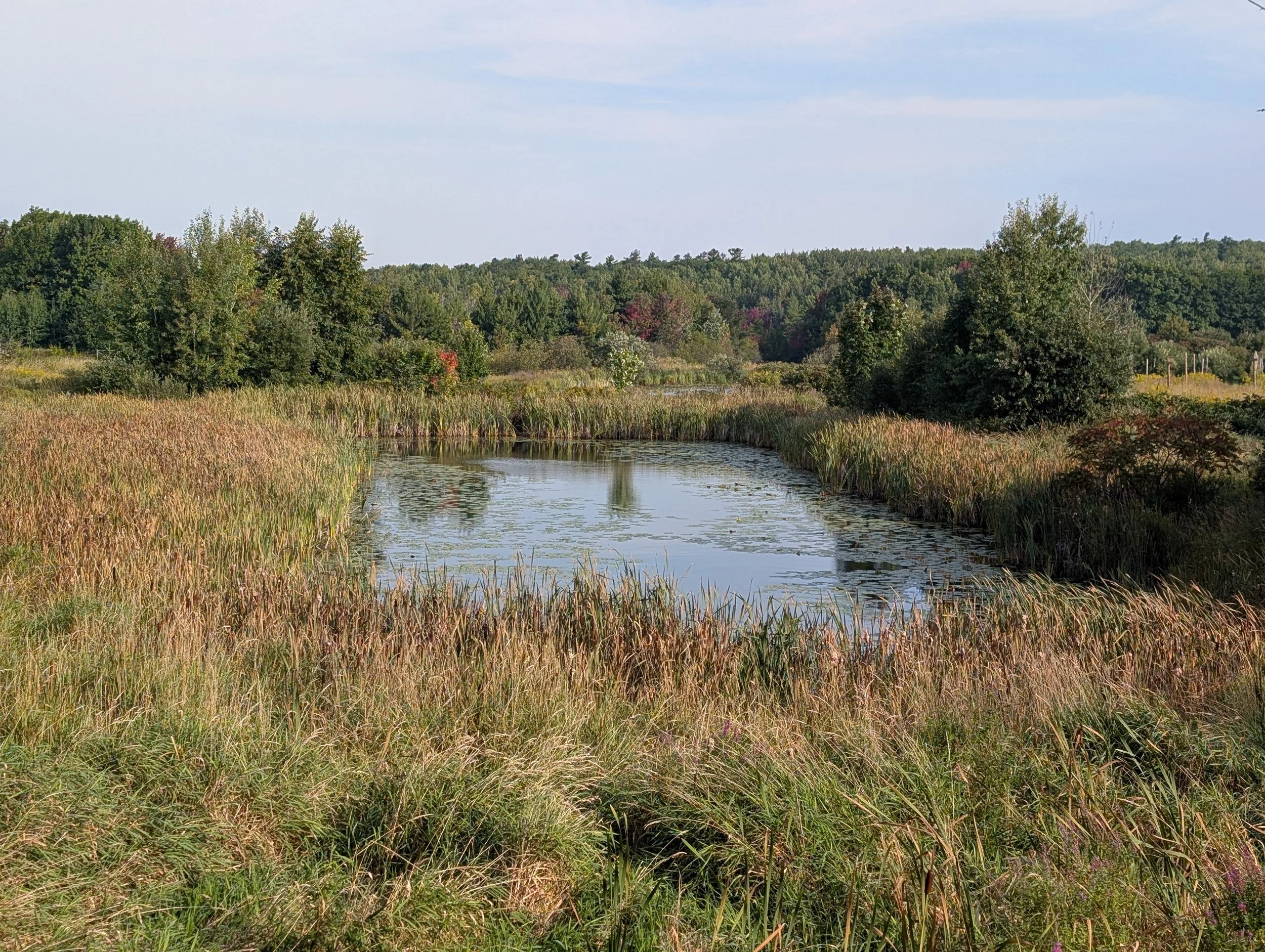
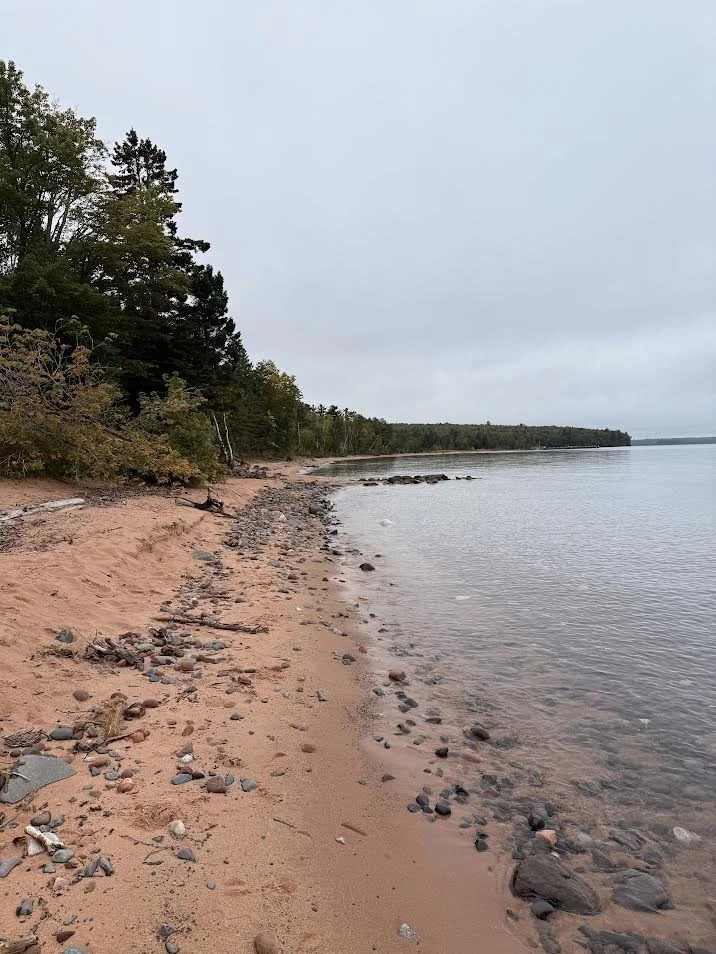
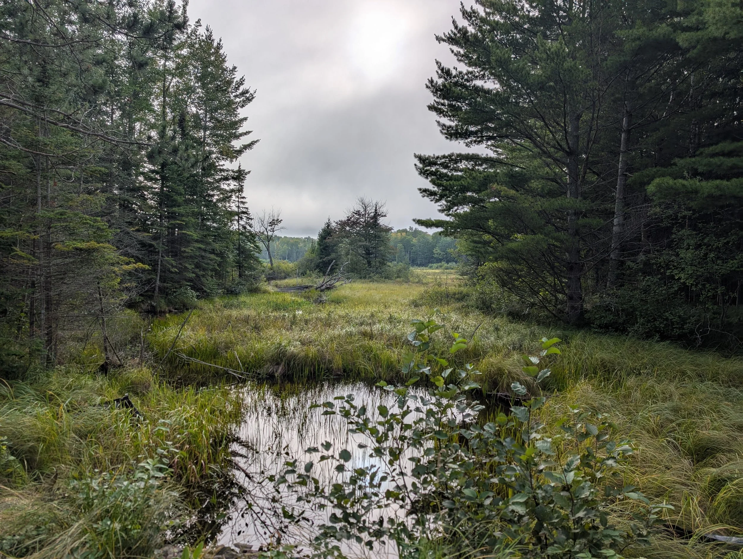
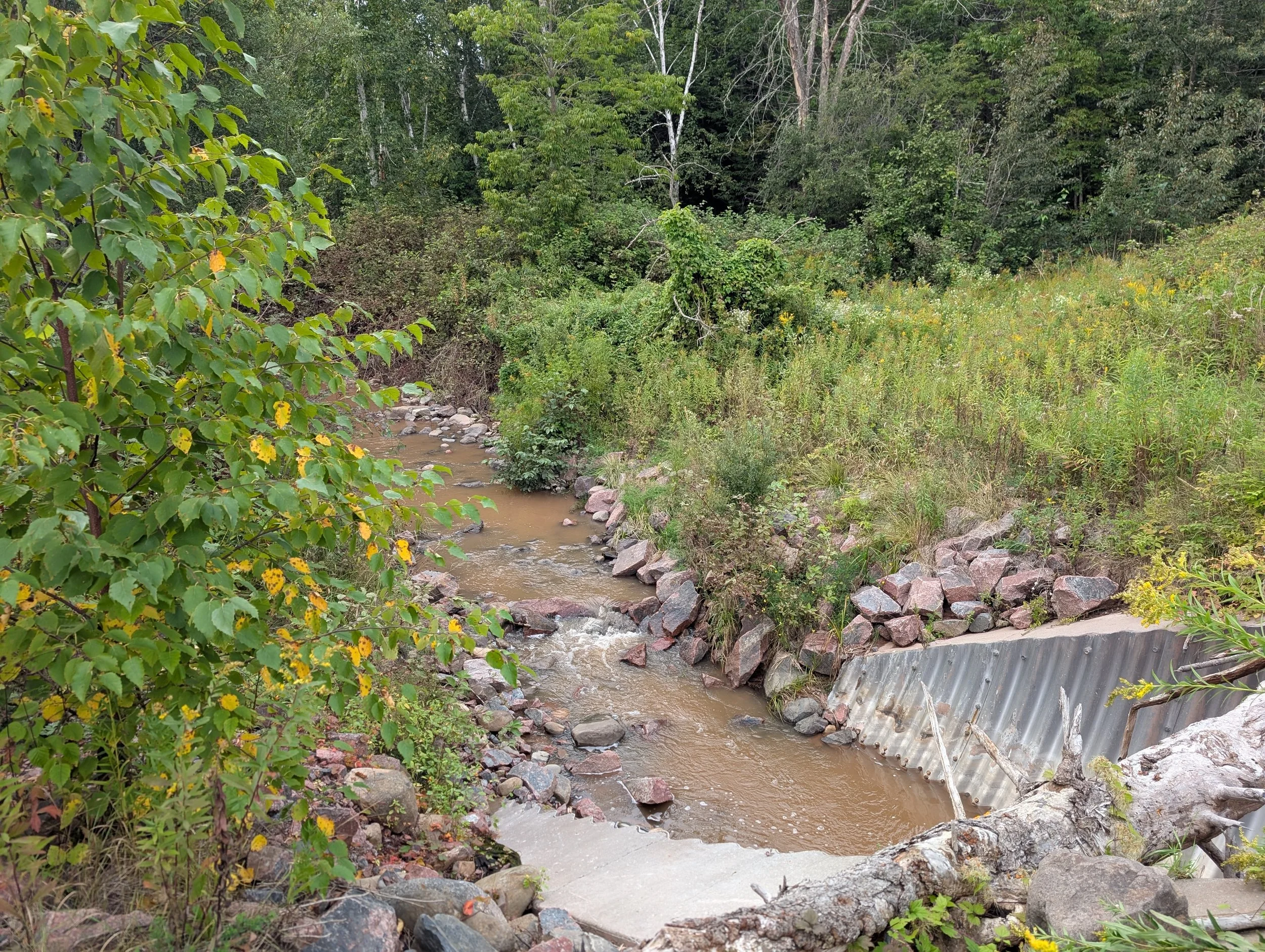
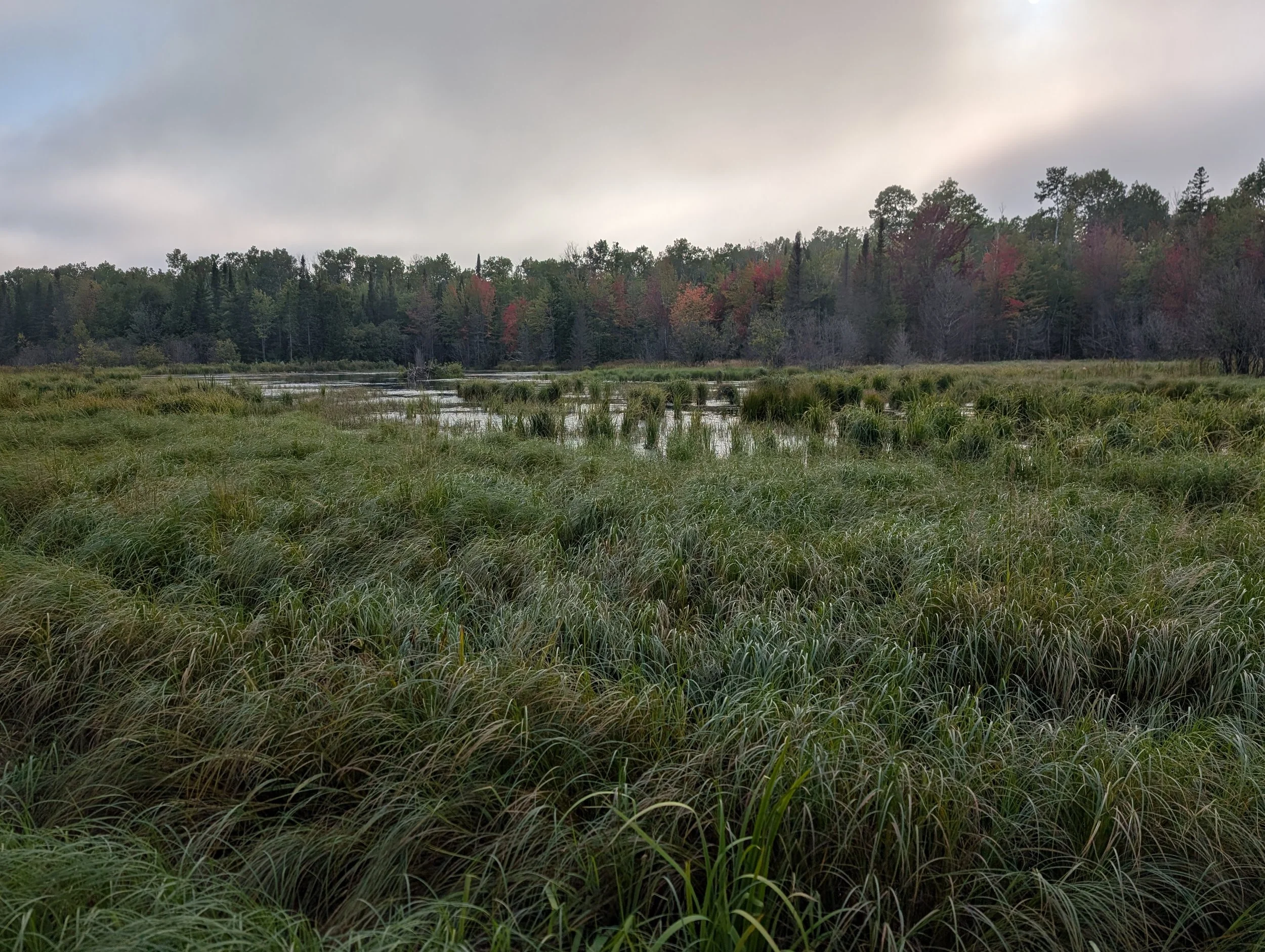
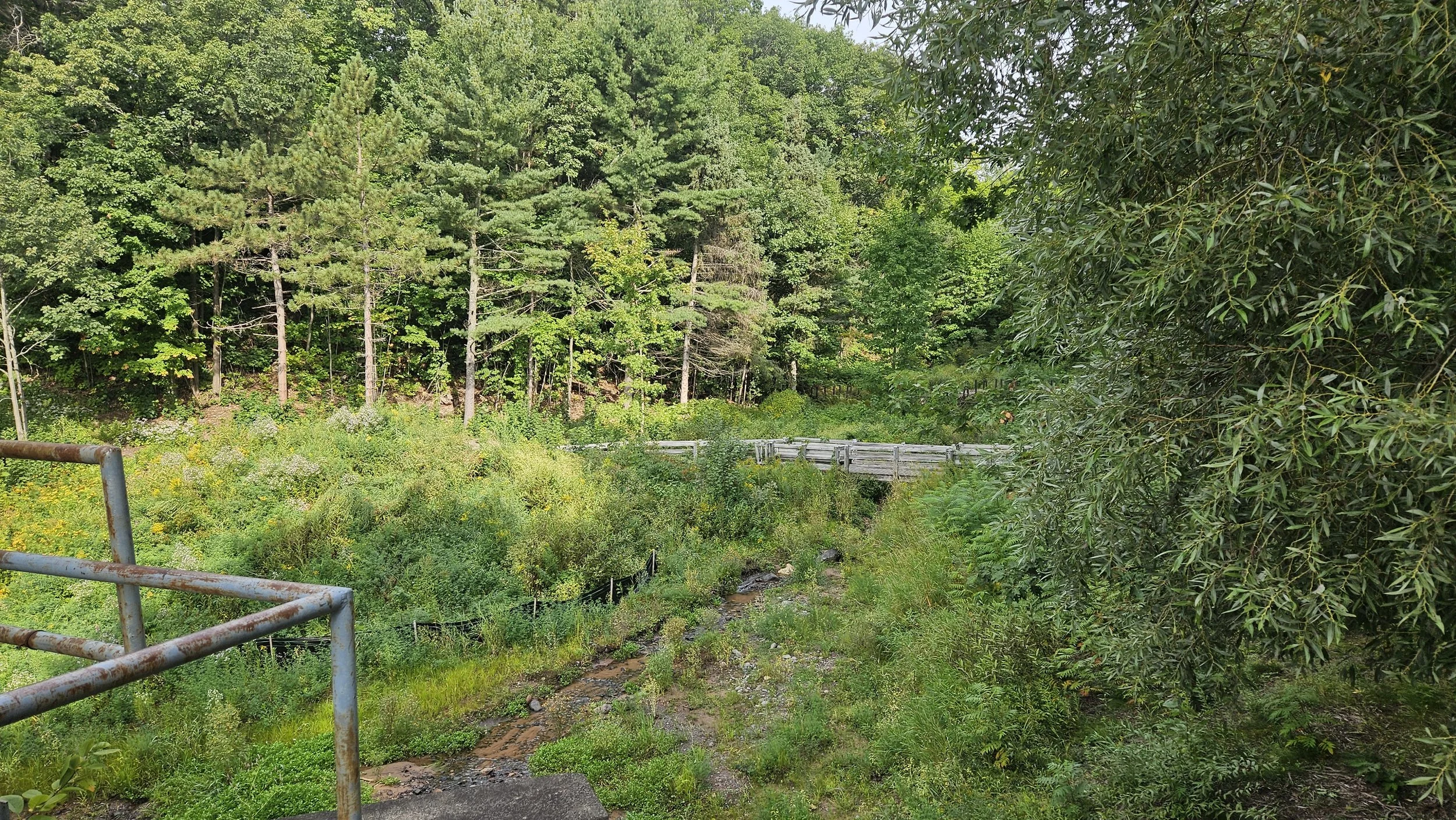
Over the course of the trip, the team visited a series of field sites to compare pre-mapping data with on-the-ground wetland conditions. Field activities included:
Identifying wetland vegetation
Collecting soil samples to confirm wetland soils
Documenting rivers and streams
Taking site photos for future mapping updates
These efforts ensure that the mapping meets NWI standards and accurately reflects current wetland conditions. The resulting data will contribute to a comprehensive wetland inventory, supporting planning, conservation, and resource management across northern Wisconsin.