Wyoming Part 2 ! Mapping Water, Building Relationships: GSS Field Work Continues in Wyoming
GeoSpatial Services (GSS) at Saint Mary’s University of Minnesota is continuing wetland mapping work in Wyoming, as part of its ongoing contributions to the U.S. Fish and Wildlife Service’s National Wetlands Inventory (NWI). Following the successful first half of the field hitch working on Bureau of Land Management (BLM) lands in eastern Wyoming, the team has now turned its focus westward to the Wind River Reservation—home to the Eastern Shoshone and Northern Arapaho Tribes.
The effort reflects GSS’s ongoing commitment to productive partnerships and to improving the understanding of water resources, water rights, and usage efficiency throughout the region.
Field Team & Tribal Collaboration
This segment of the project brought together a strong team of professionals and partners, including:
• Andy Nadeau (Field Lead)
• Isabelle McNeill (Field Technician)
• Eric Lindquist (Project Manager)
• Hildred Hill (USFWS Intern)
• Andy Robertson (GSS Executive Director)
The crew was welcomed by and met with representatives from Tribal Fish and Game, including Art Lawson, as part of the broader effort to align mapping goals with local priorities and ecological stewardship.
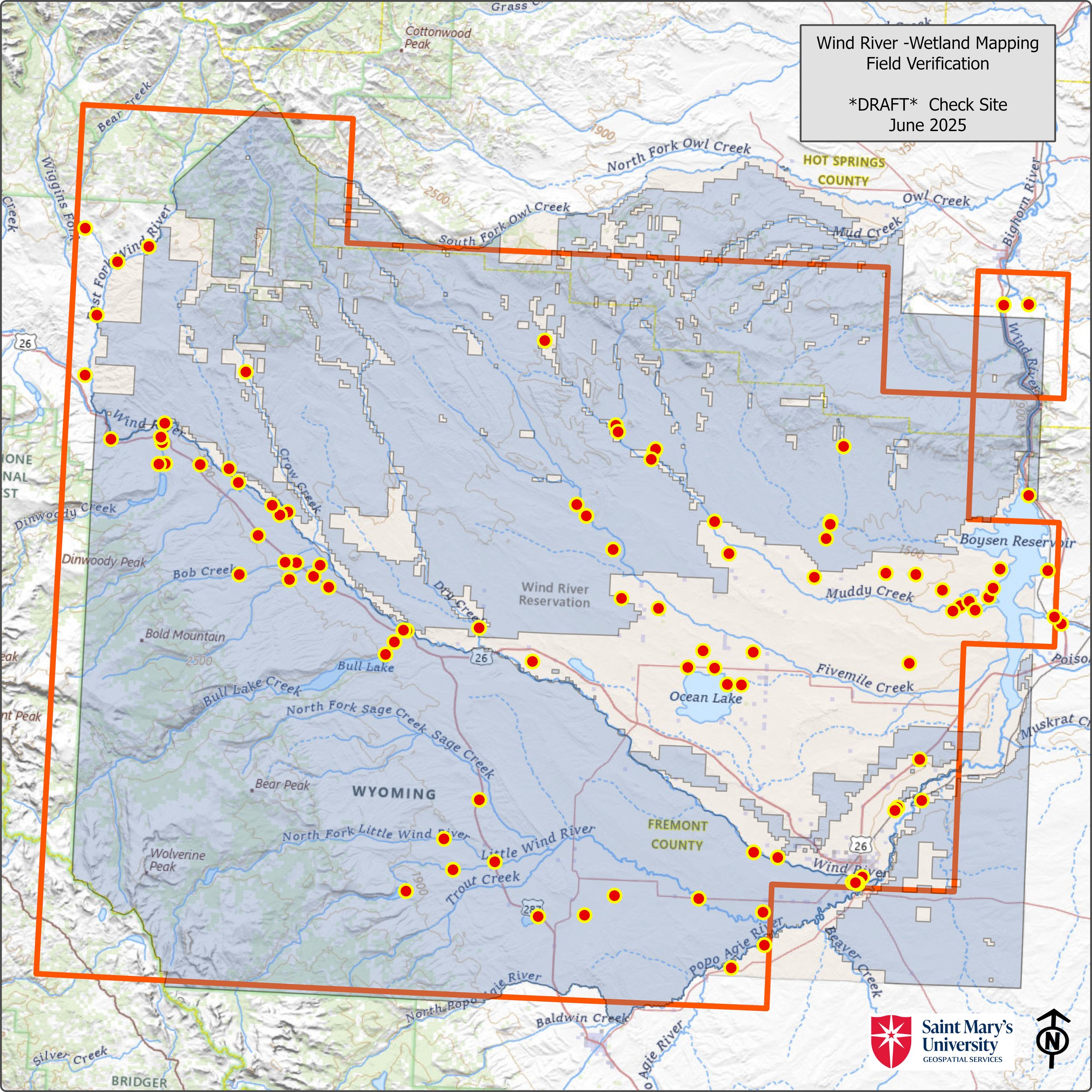
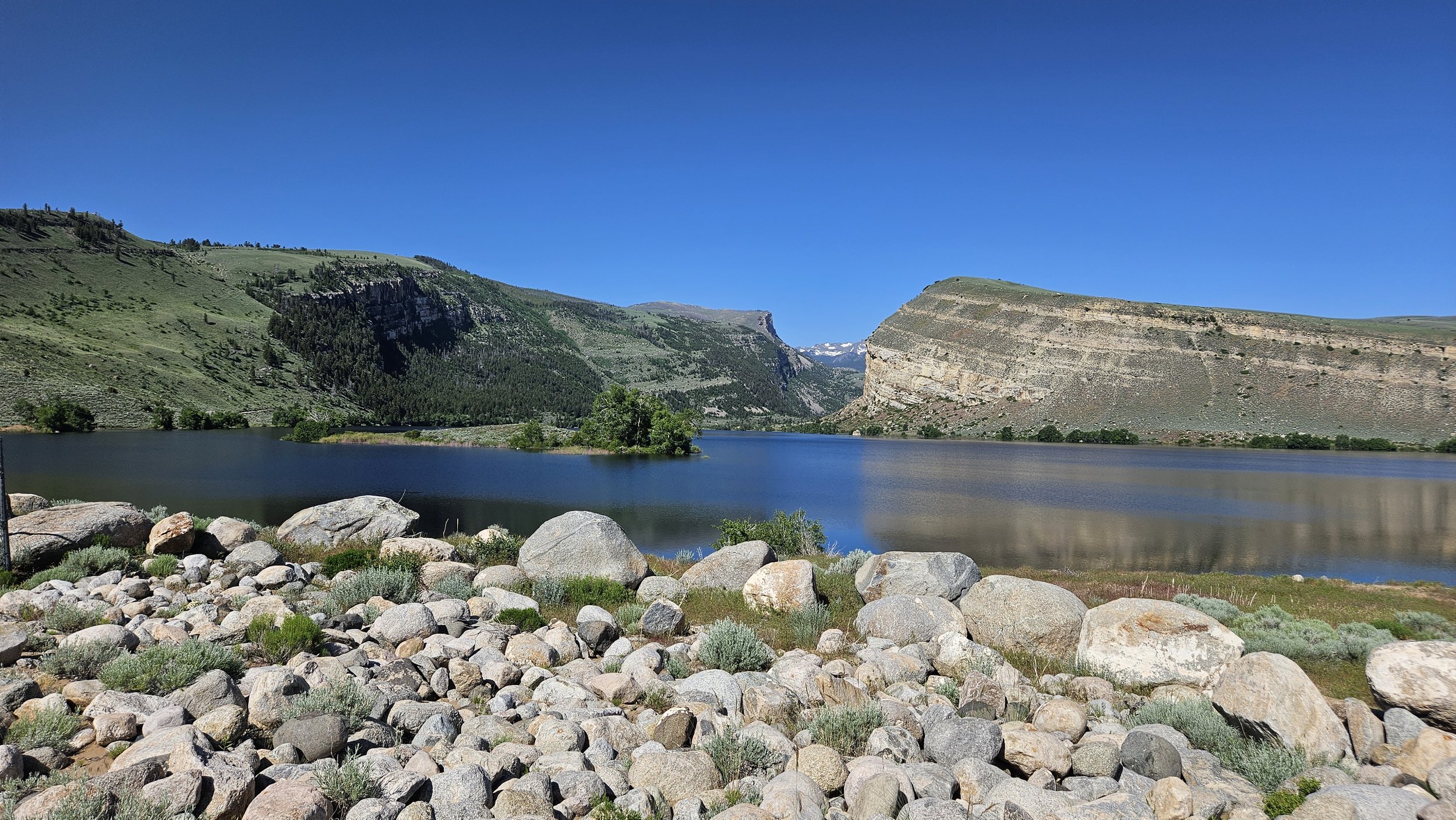
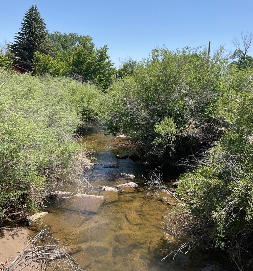
Field Verification & Wetland Science
Field work remains a cornerstone of the NWI update process. Across the Wind River landscape, the team visited numerous check sites to validate the accuracy of mapped wetland features previously identified through aerial imagery. This hands-on ground-truthing included:
• Photo interpretation validation to confirm visual wetland indicators
• Soil sampling and analysis to identify hydric (wetland) soils
• Vegetation surveys to identify hydrophytic plant species
• Hydrologic assessments to evaluate water sources and saturation levels
These methods ensure that mapped wetlands meet federal criteria and accurately reflect real-world conditions. The data gathered on-site directly supports the development of digital wetland maps that feed into the national geospatial dataset used for conservation, planning, and policy-making.
A Collaborative Campus Effort
While the field crew worked across the plains and foothills of central Wyoming, Saint Mary’s students back on campus contributed to the project through image analysis, GIS data management, and map production tasks. This dual-track model provides students with critical hands-on experience in applied environmental science while advancing meaningful conservation work.
A Legacy of Impact
This is GSS’s fifth wetland mapping project in Wyoming since 2018, underscoring the organization's long-term investment in the region. The Wind River phase adds another meaningful chapter, highlighting how scientific fieldwork, Indigenous knowledge, student engagement, and agency partnership can come together to better understand and protect our nation’s water resources.
As climate change, land use pressures, and ecological needs increase, accurate wetland data is more important than ever. GSS’s work helps ensure that decisions around land management, water use, and conservation are informed by science, supported by partnership, and grounded in respect for both people and place.