Smith River Watershed: GSS & the Tolowa Dee-ni' Nation
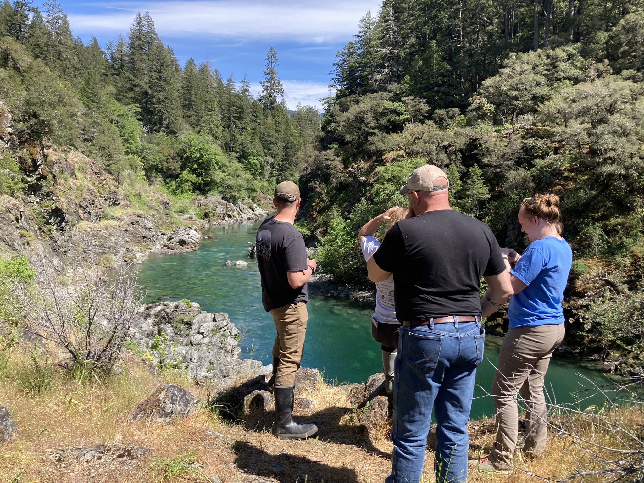
From May 6–8, staff from GeoSpatial Services at Saint Mary’s University of Minnesota (GSS SMUMN) traveled to Northern California to conduct fieldwork in the Smith River Watershed—a region known for its ecological richness and cultural significance.
This trip was part of GSS’s ongoing partnership with the Tolowa Dee-ni' Nation, focusing on wetland mapping efforts that support tribal land stewardship and conservation goals. The Smith River Watershed, located near the Oregon border, is home to unique coastal ecosystems that provide critical habitat and environmental services.
During the visit, GSS staff Kathy Allen, Avrey Simonson, and Eric Lindquist carried out on-the-ground assessments, collected geospatial data, and—most importantly—had the opportunity to connect with tribal staff, learning more about the land from those who know it best. Highlights of the trip included driving through redwood forests, exploring ocean beaches, spotting Roosevelt elk, and finally finding endemic Pacific banana slugs on the last day of the trip.
These kinds of collaborations are at the heart of our mission: using science and technology to support com munities in managing and protecting natural resources. We're honored to be part of this important work and look forward to continuing our partnership with the Tolowa Dee-ni' Nation.
🌿 Stay tuned for more updates as we continue our work in the West!
#GeoSpatialServices #SMUMN