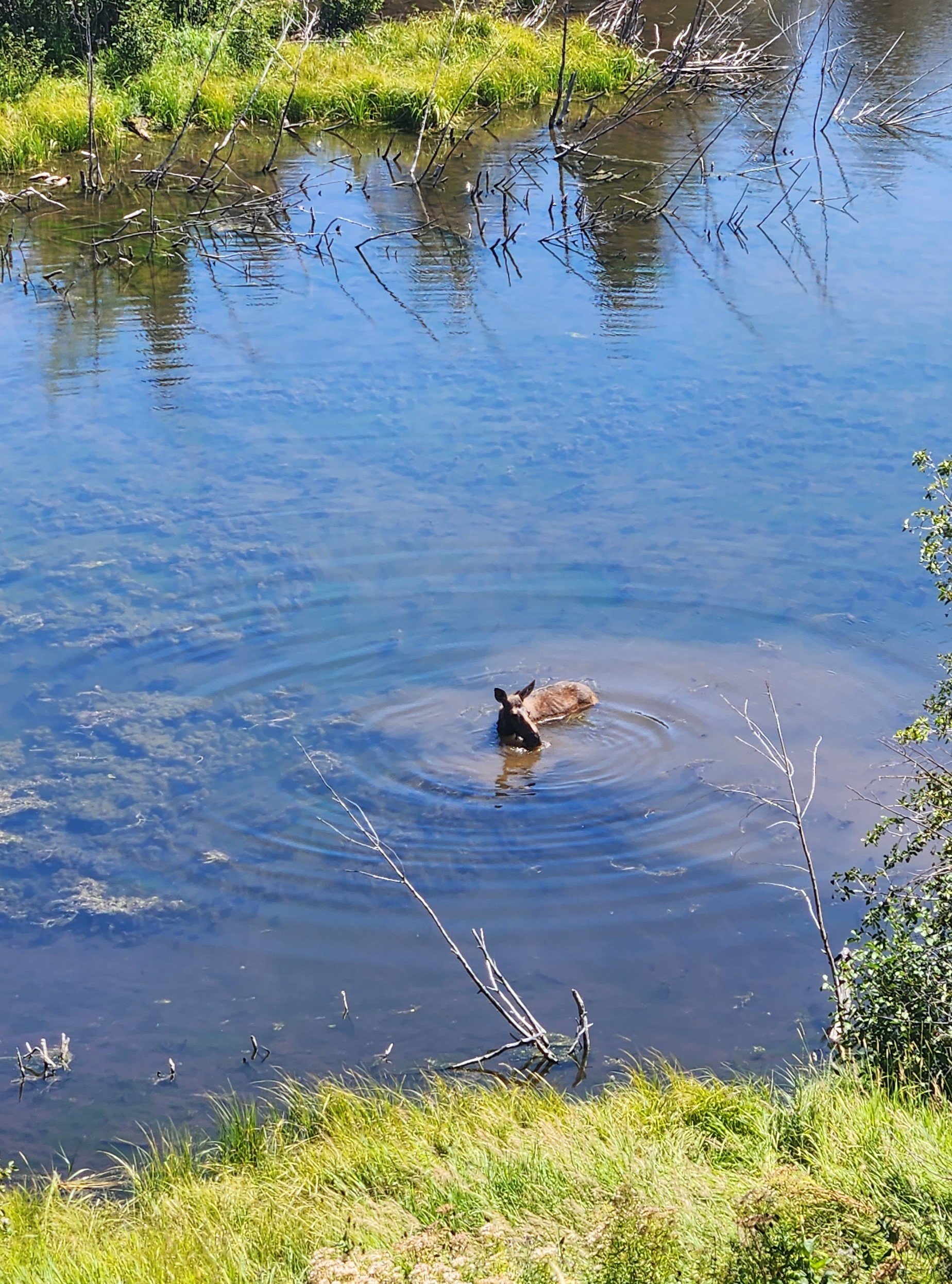
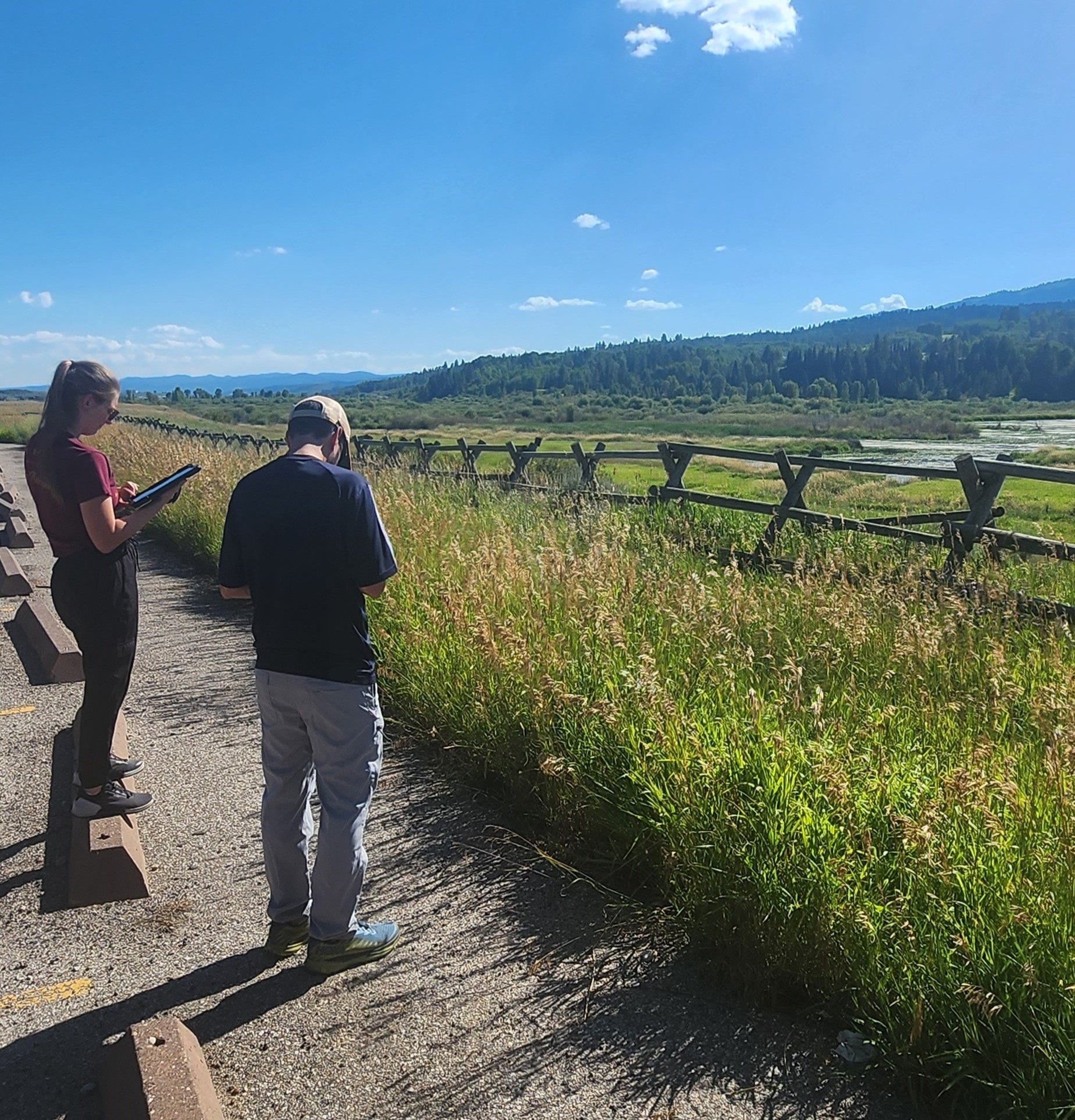
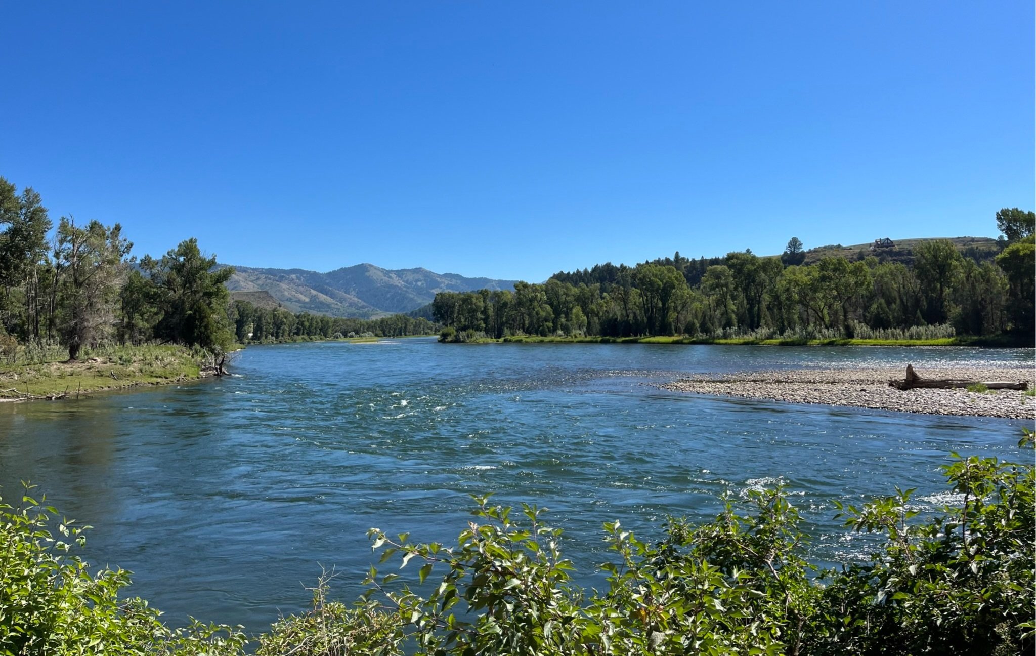
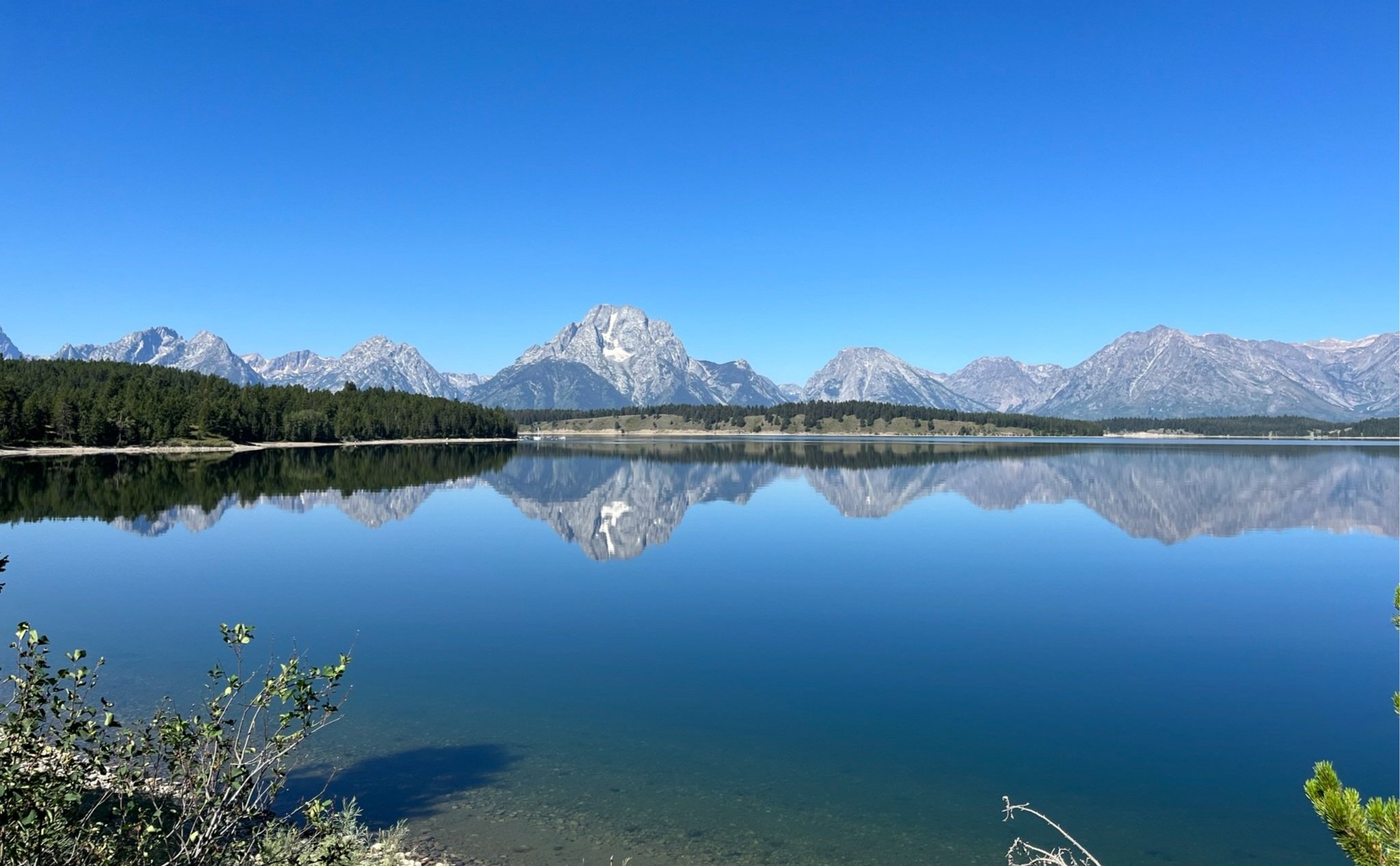
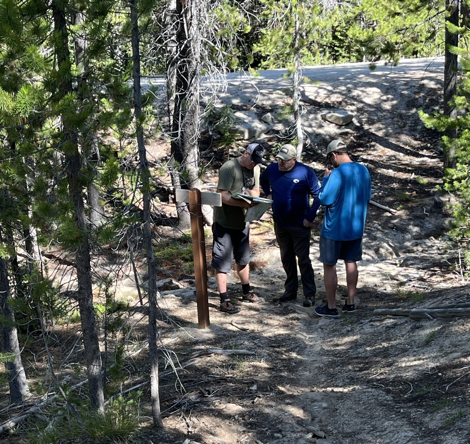
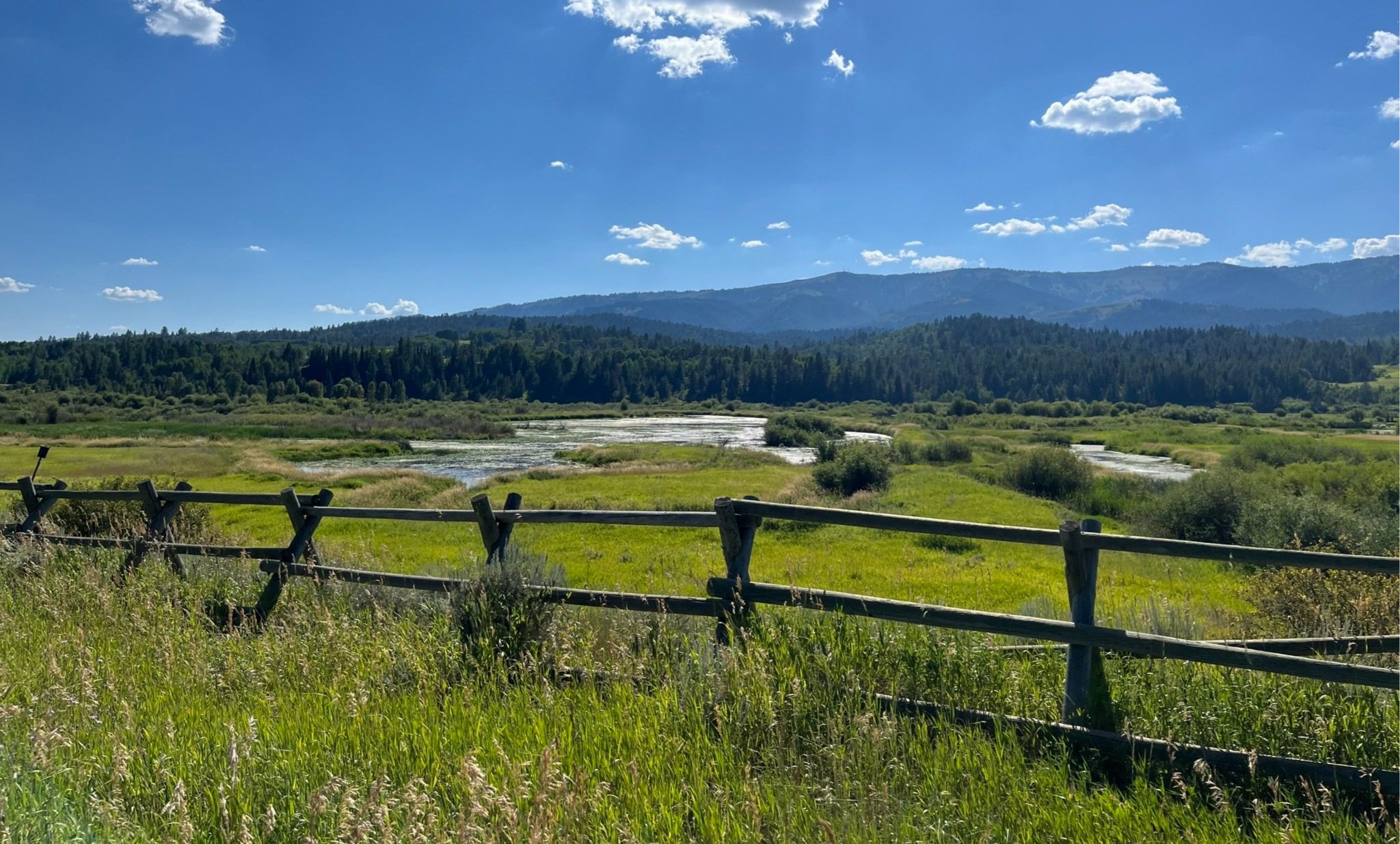
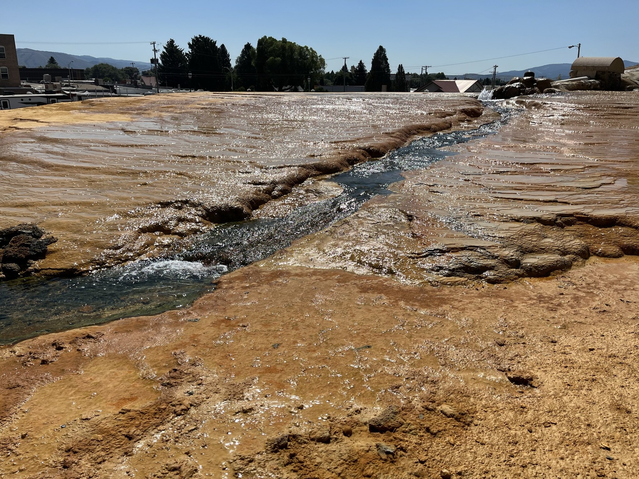
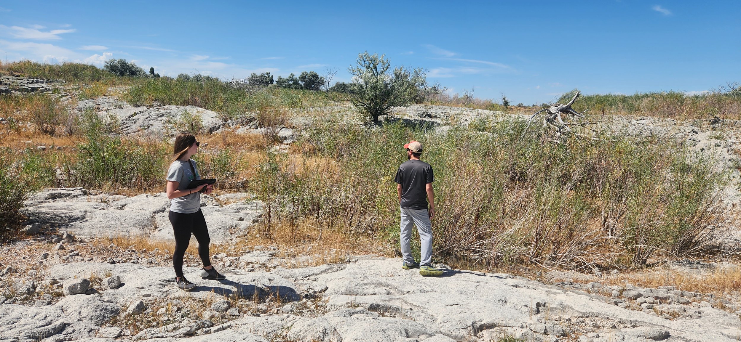
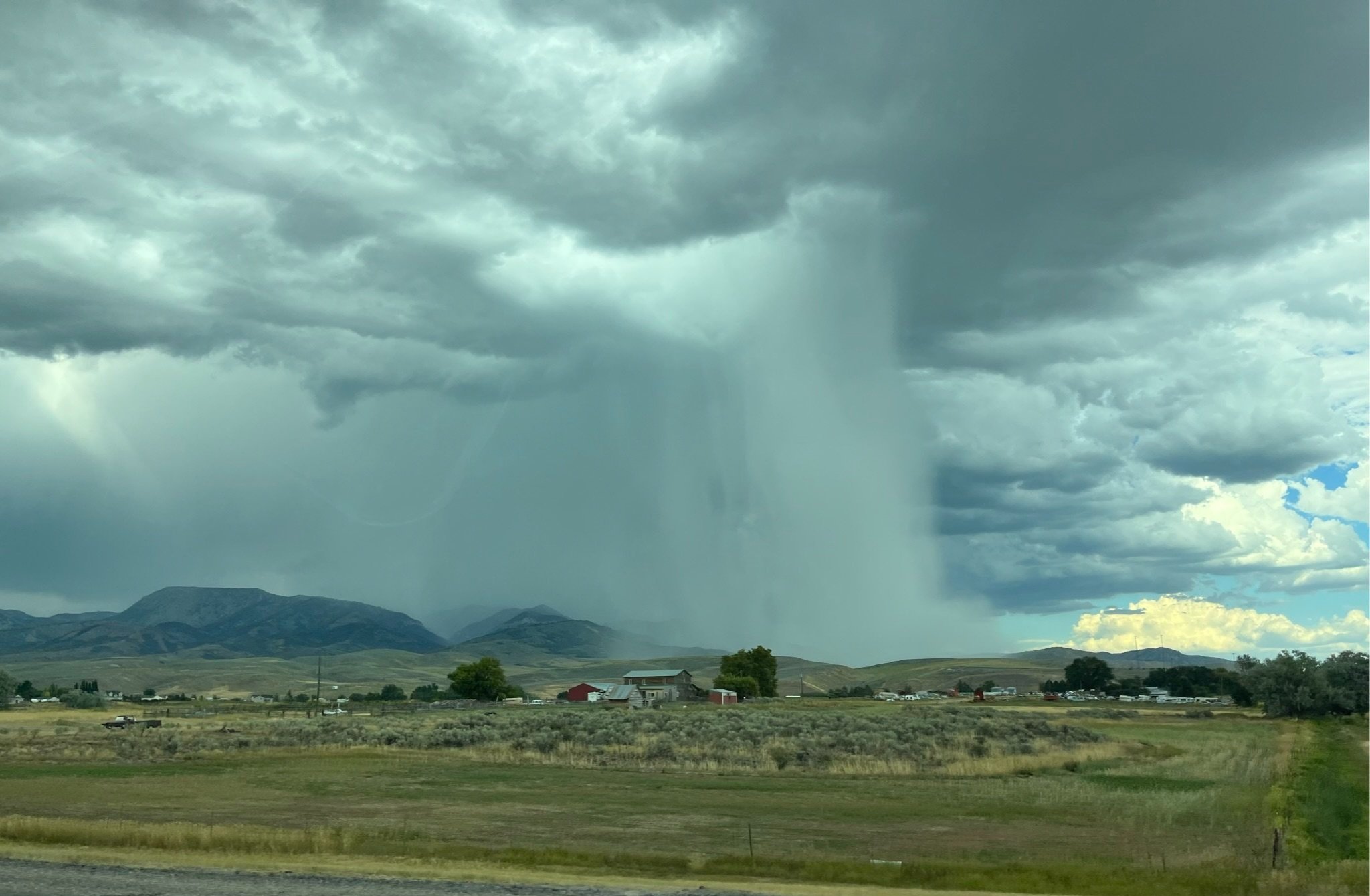
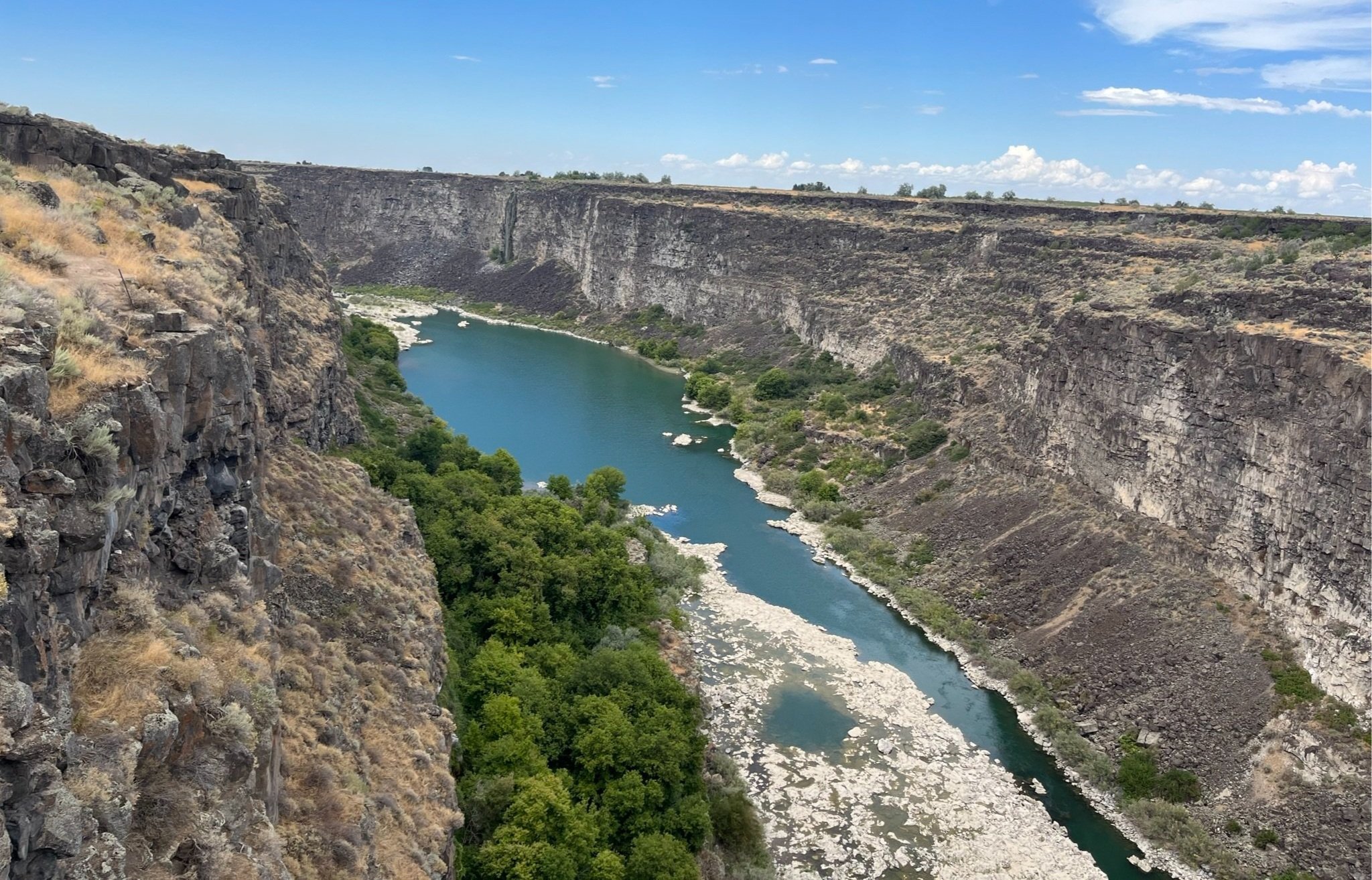
Idaho Explorations Continue
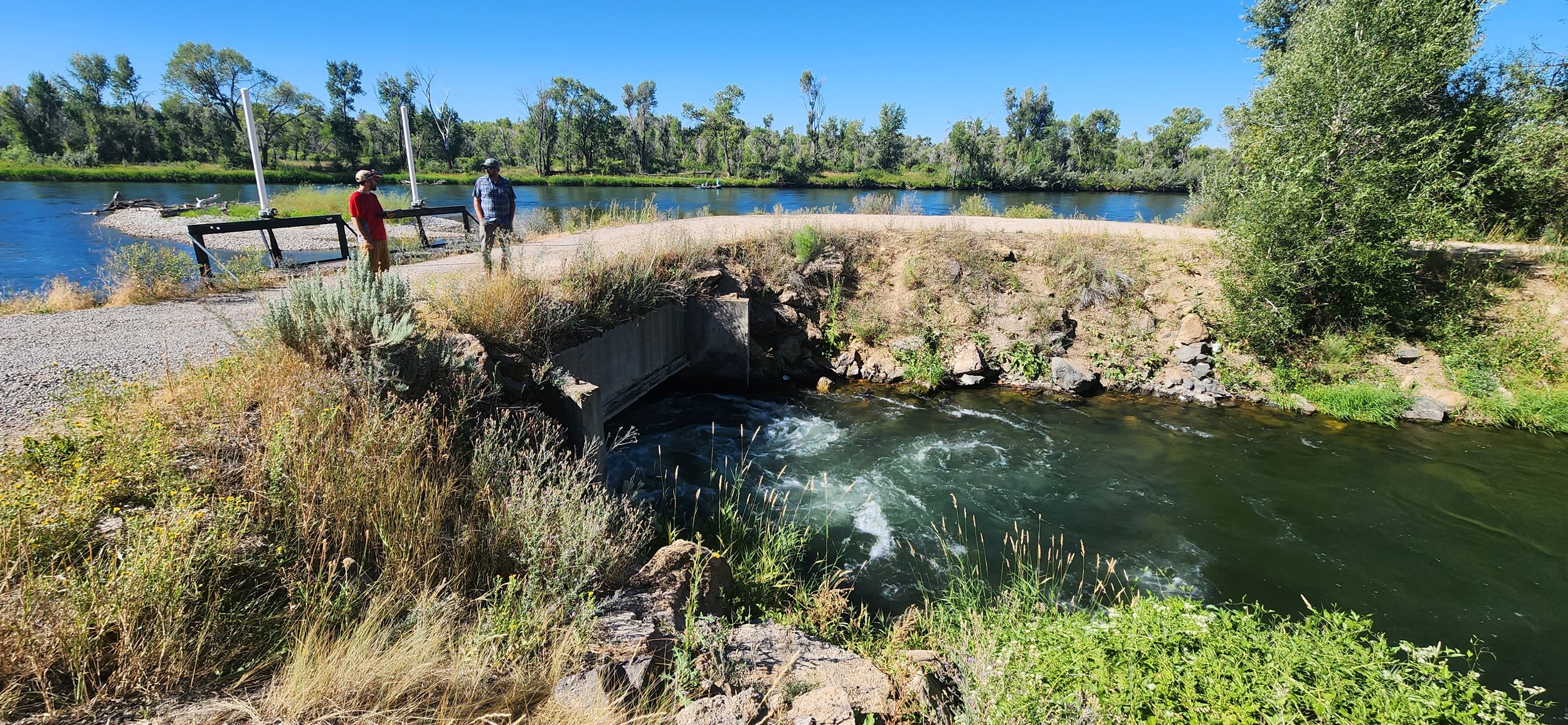
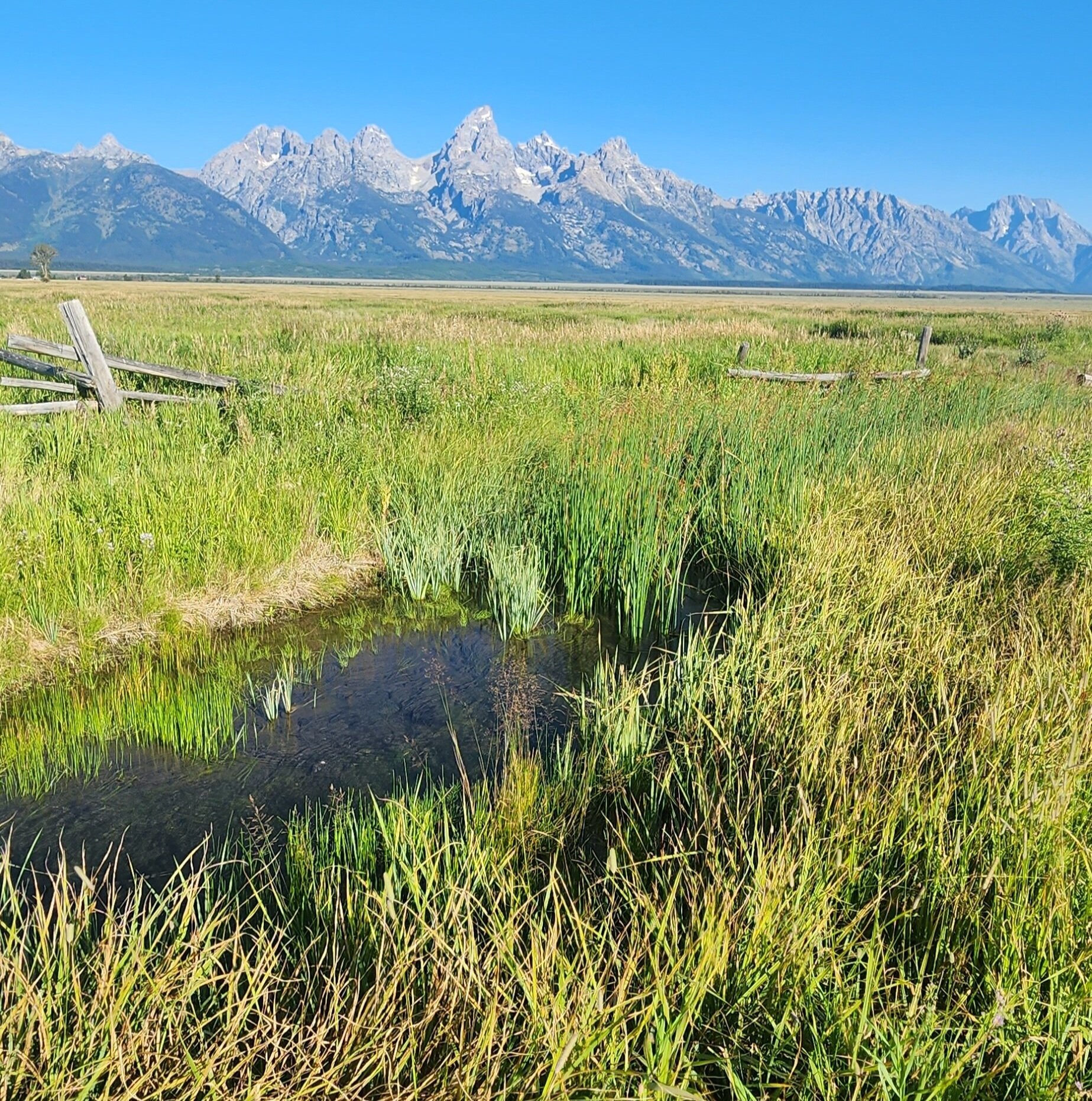
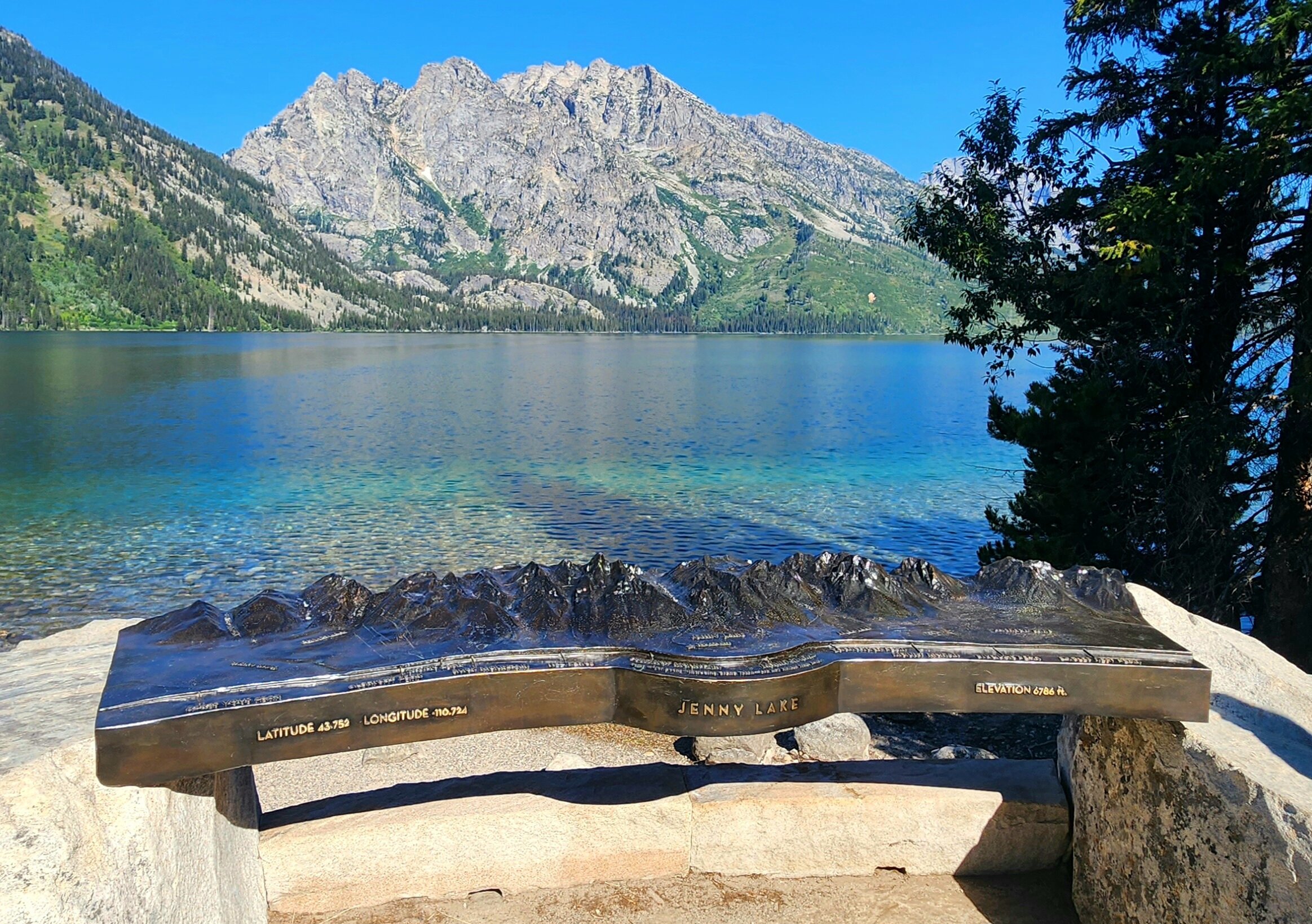
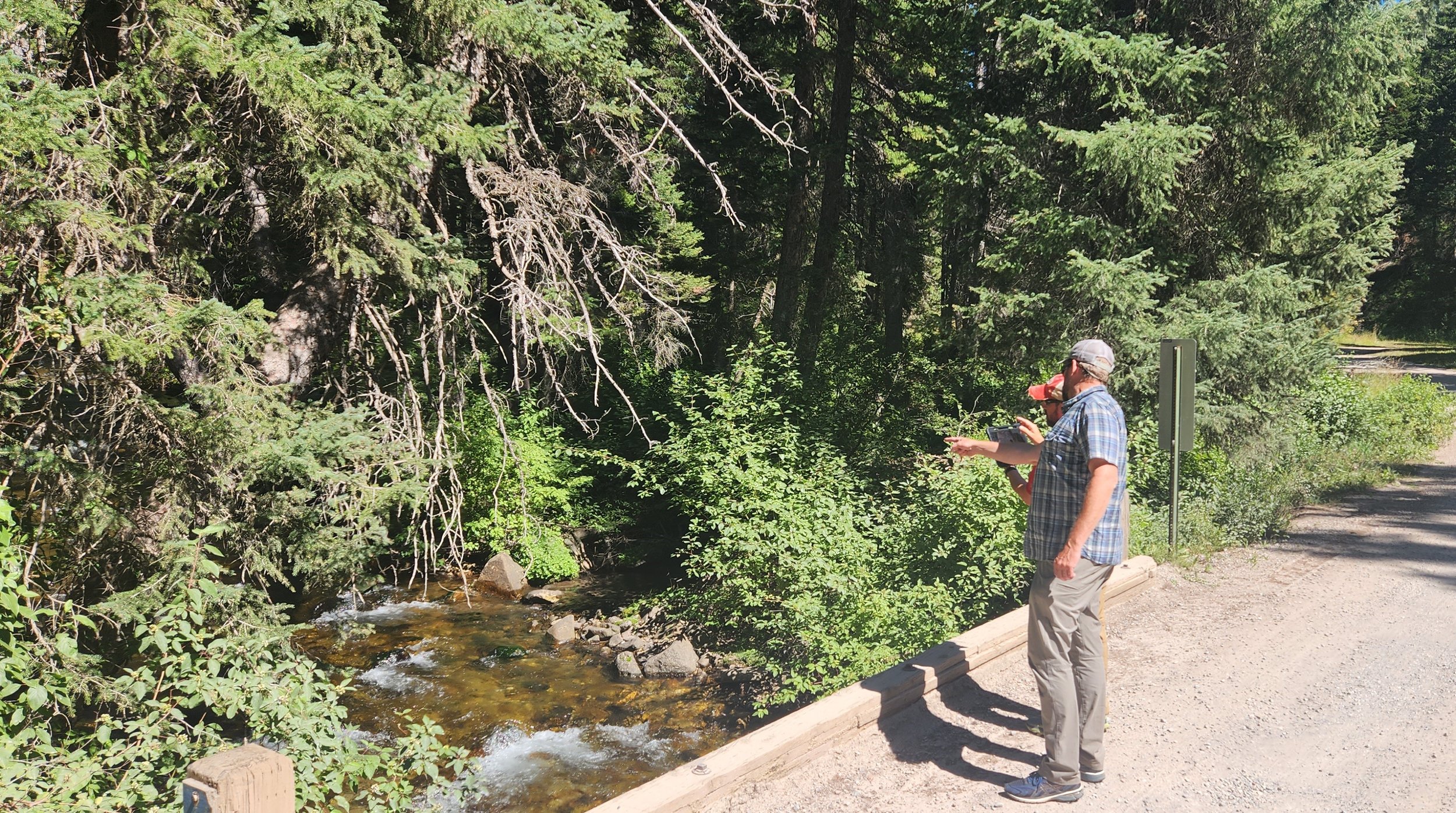
In August, GSS staff Andy Nadeau, Kevin Stark, Eric Lindquist, and Isabelle Gile spent 9 days completing wetland field verification and identification in Idaho. This is the third summer the BLM mapping team has spent in the state, and the team has travelled over 4,000 miles throughout Idaho in that time. The team’s travels this summer took them to the greater Boise area as they investigated the complex canal system of the highly developed urban area. Other areas visited included the Snake River Plains in south central Idaho, and the lava fields associated with Craters of the Moon National Monument. A new area of the state visited this summer was the southeastern corner of Idaho, which contains some of the most unique wetlands in the entire state. GSS staff spent considerable time in the Bear Lake region and investigated the uniquely managed wetlands of that area. The Idaho BLM mapping project contains a small portion of land east of the Idaho border into Wyoming, directly adjacent to Grand Teton National Park. Staff members were able to visit both the east and west side of the Teton Range as they observed the unique topography of the area.