BLM Field Work Rolls On
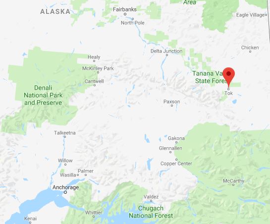
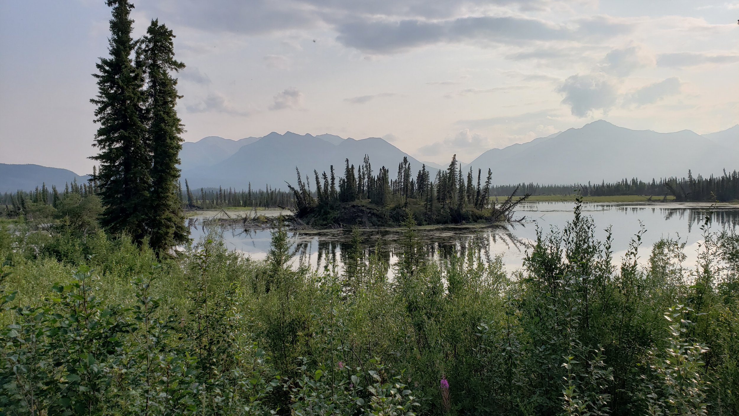
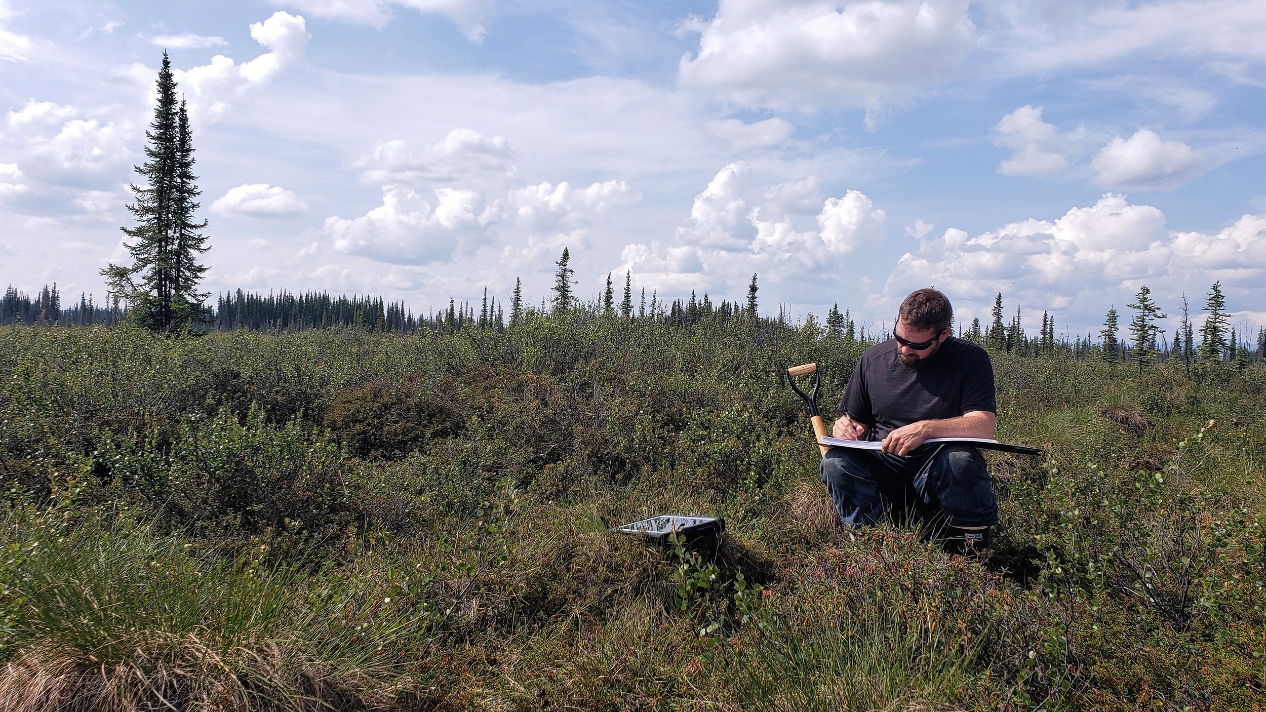
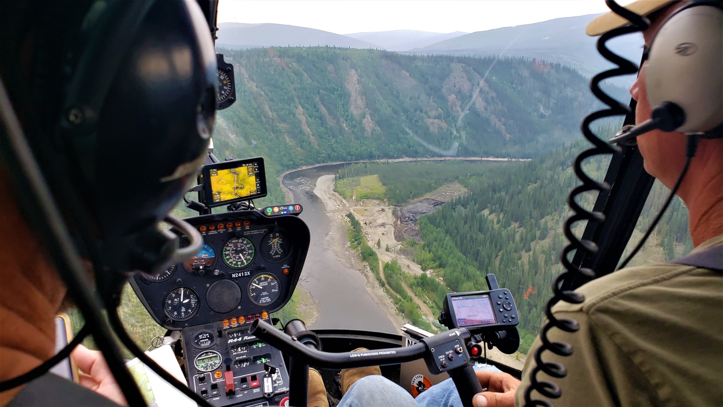
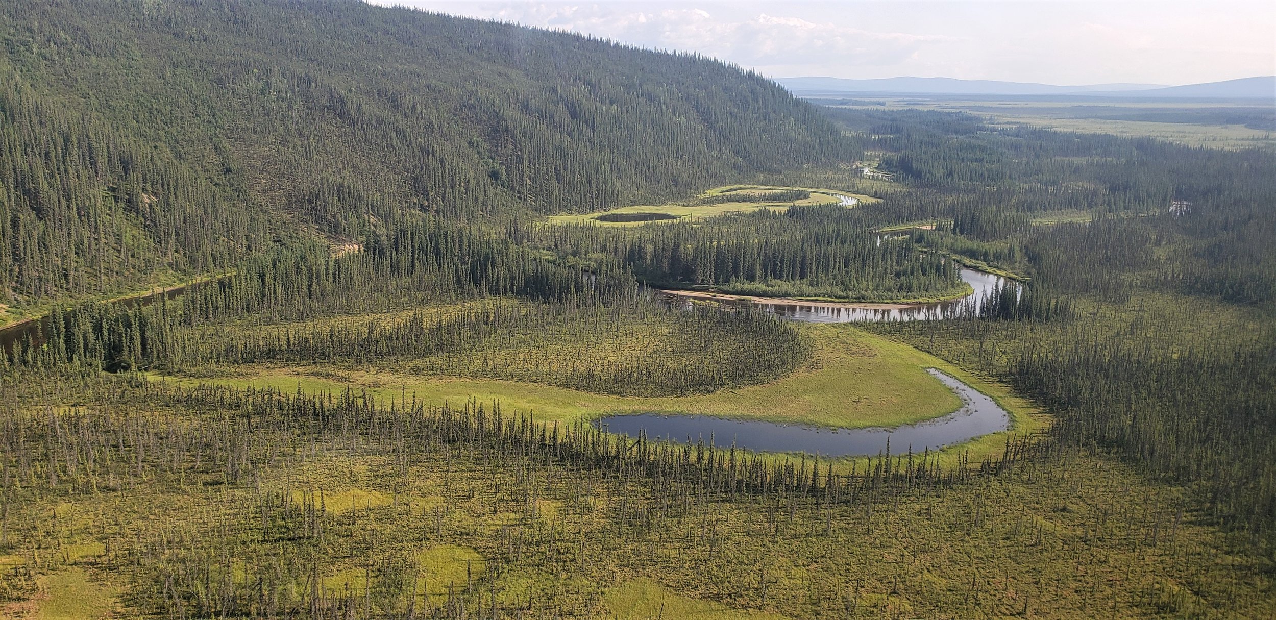
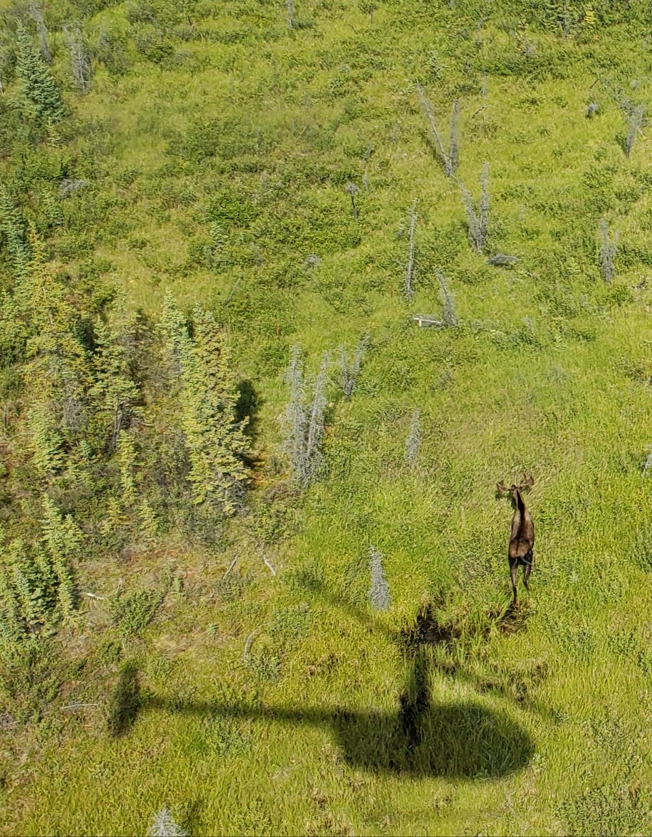
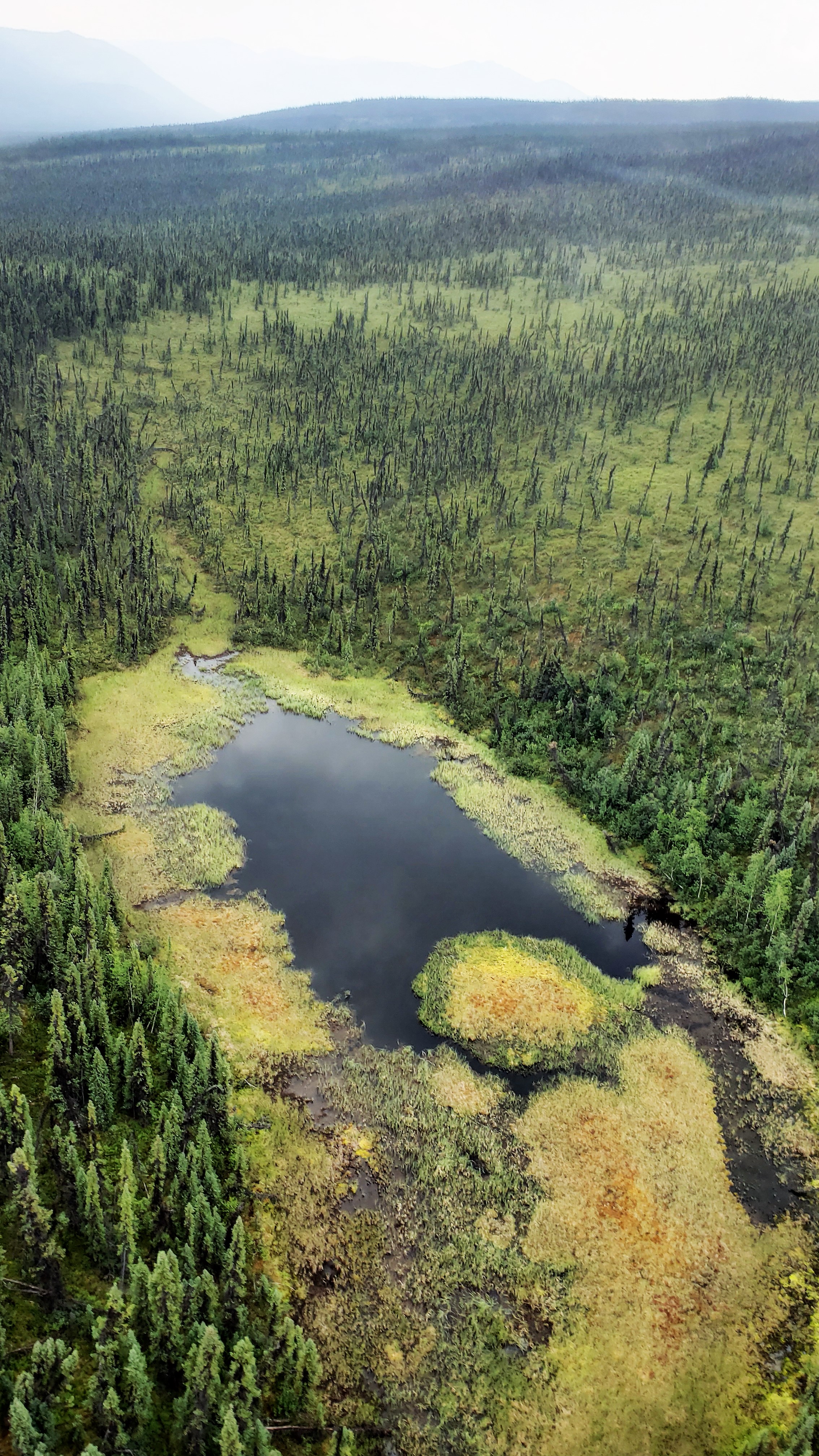
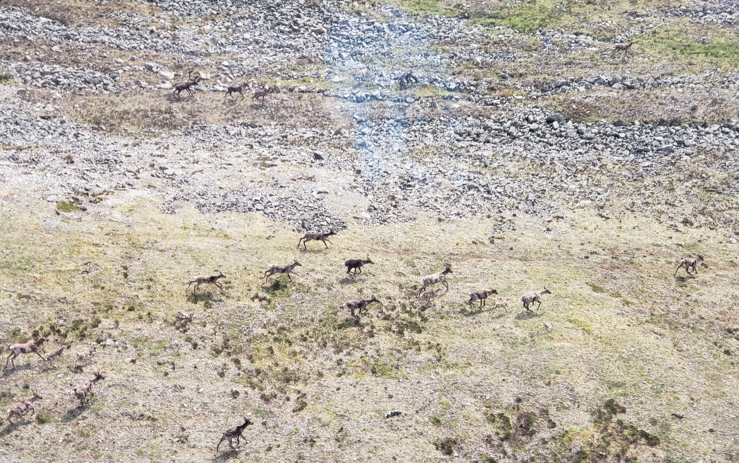
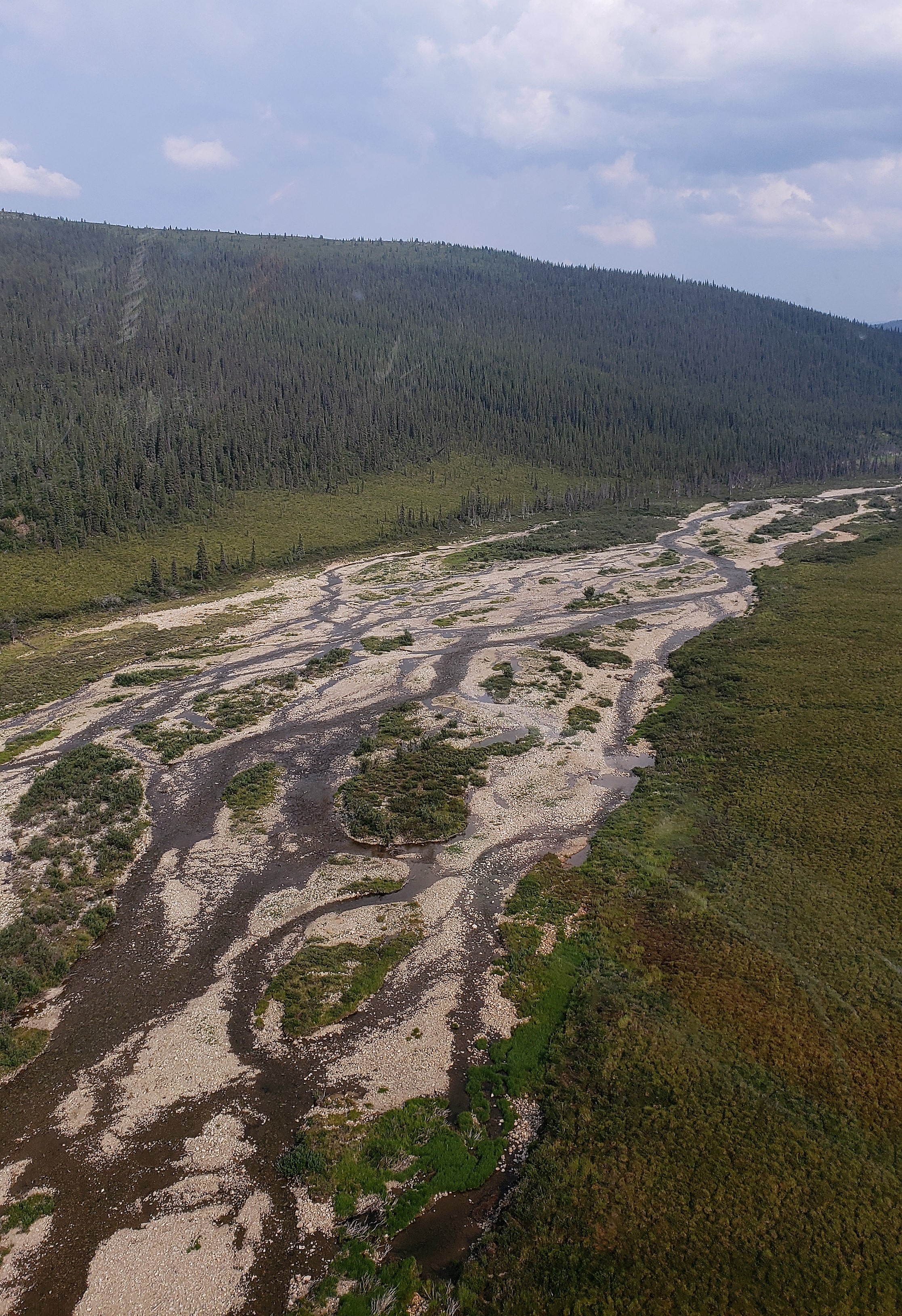
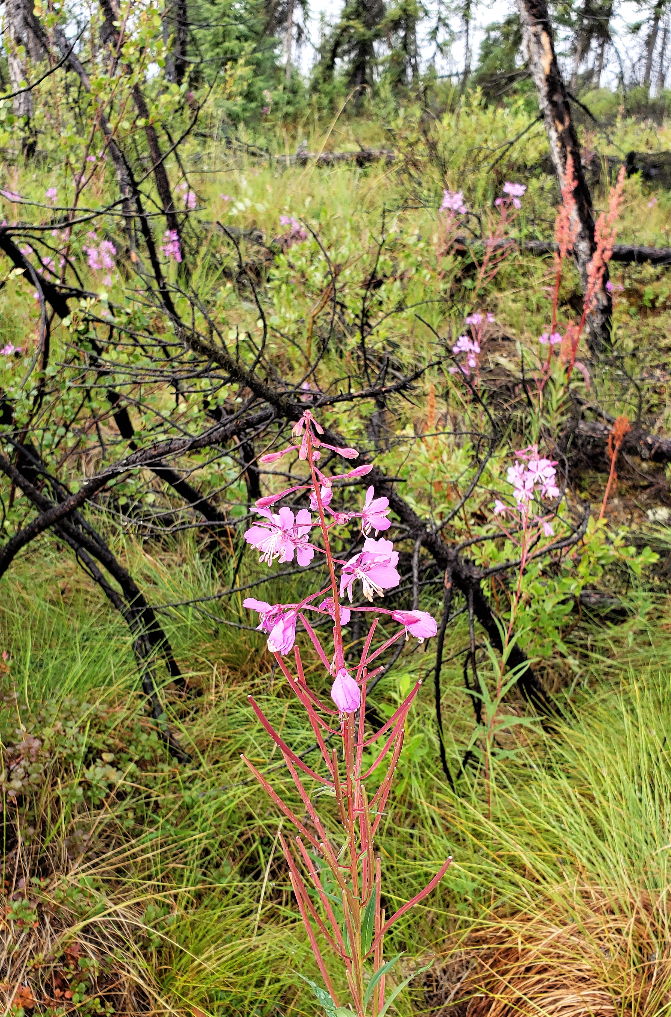
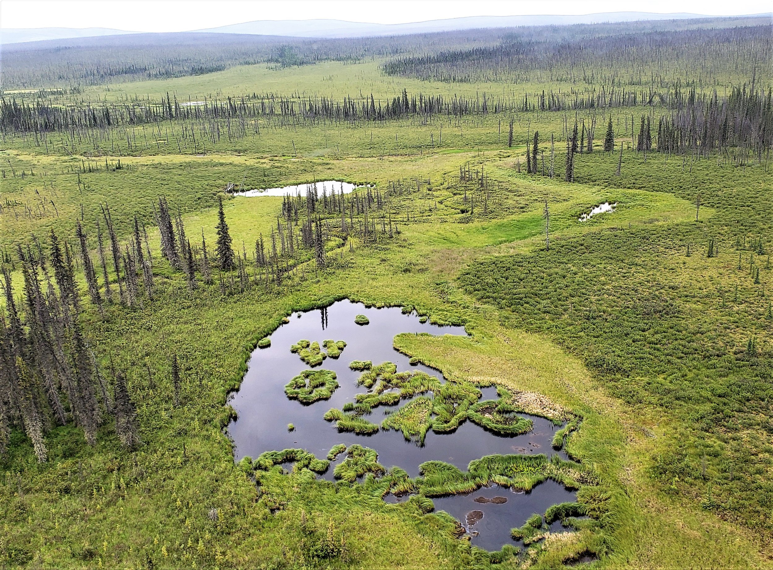
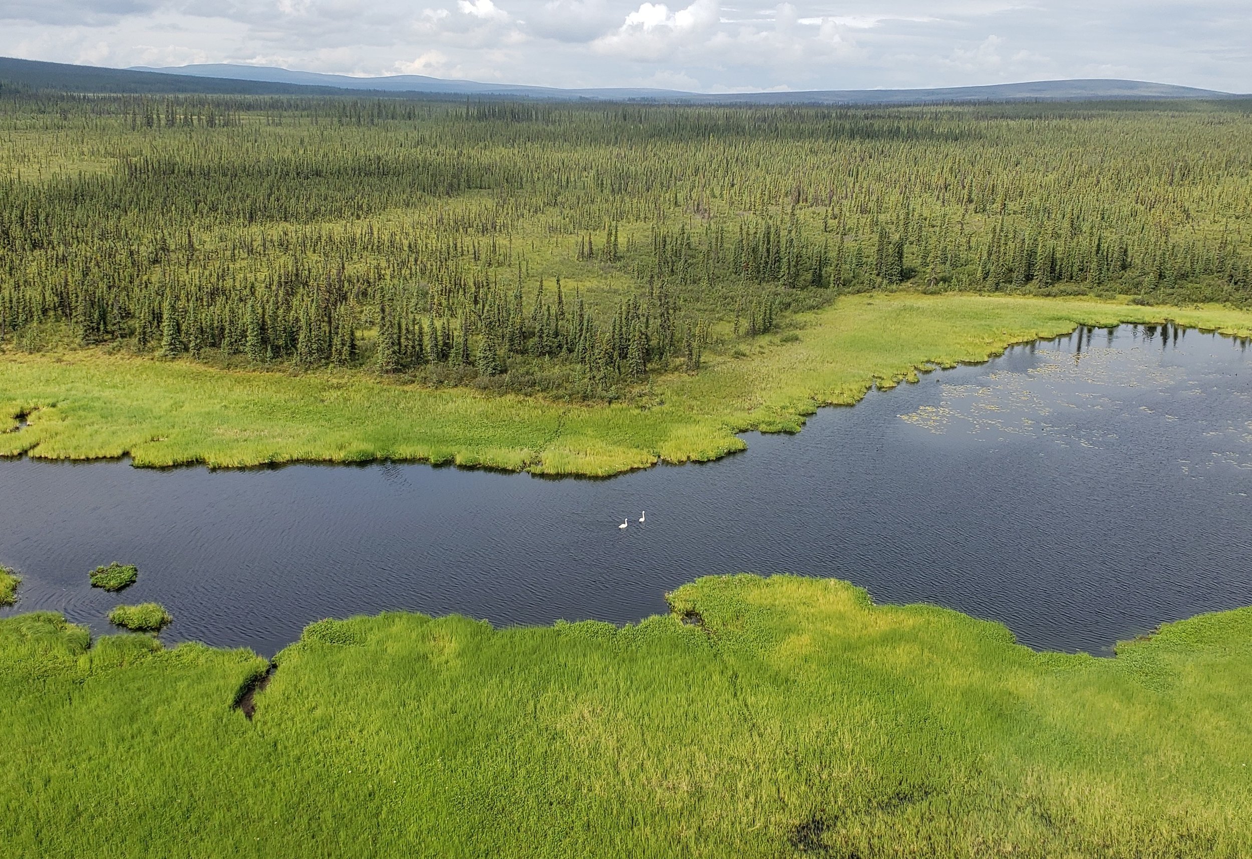
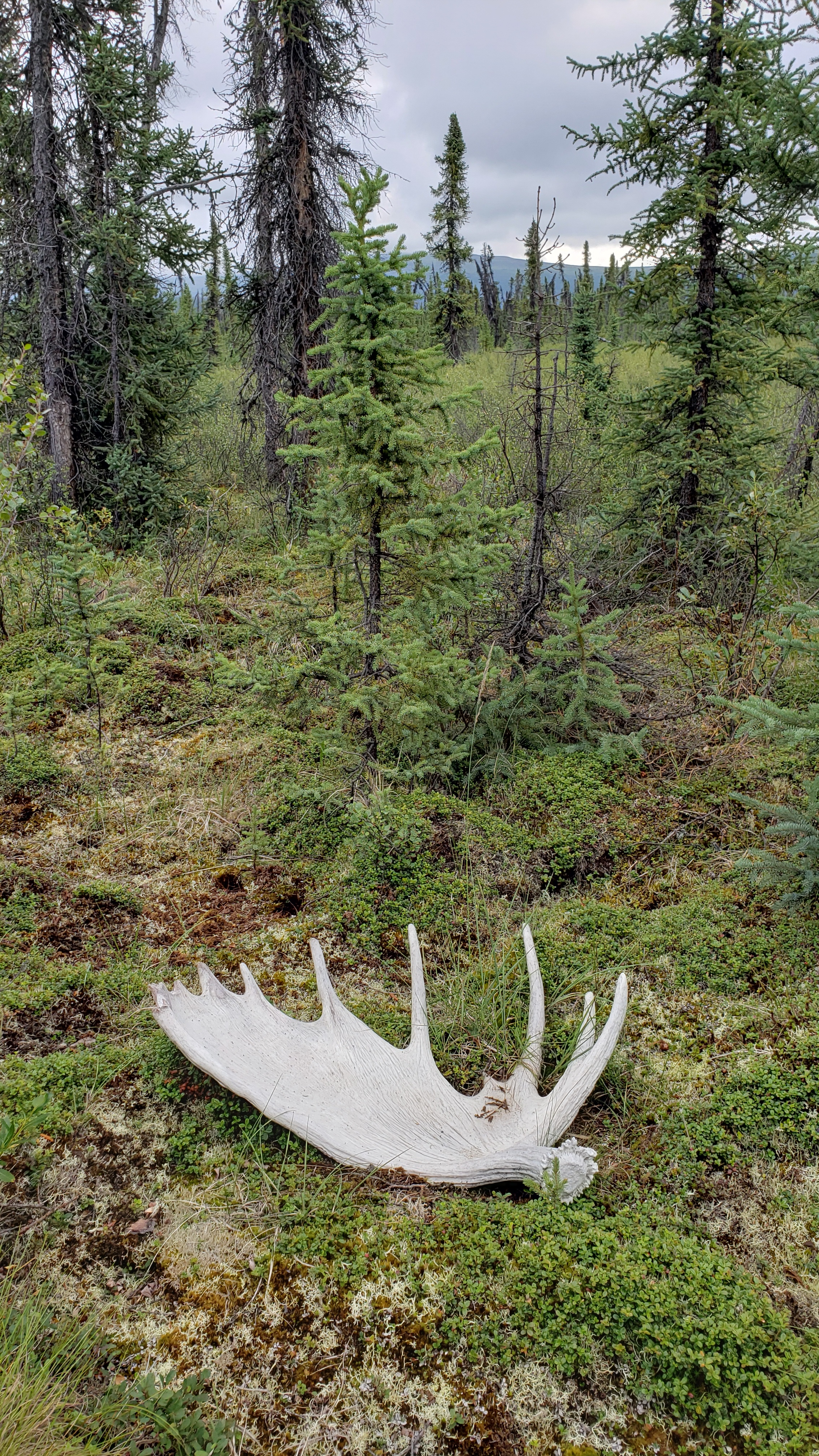
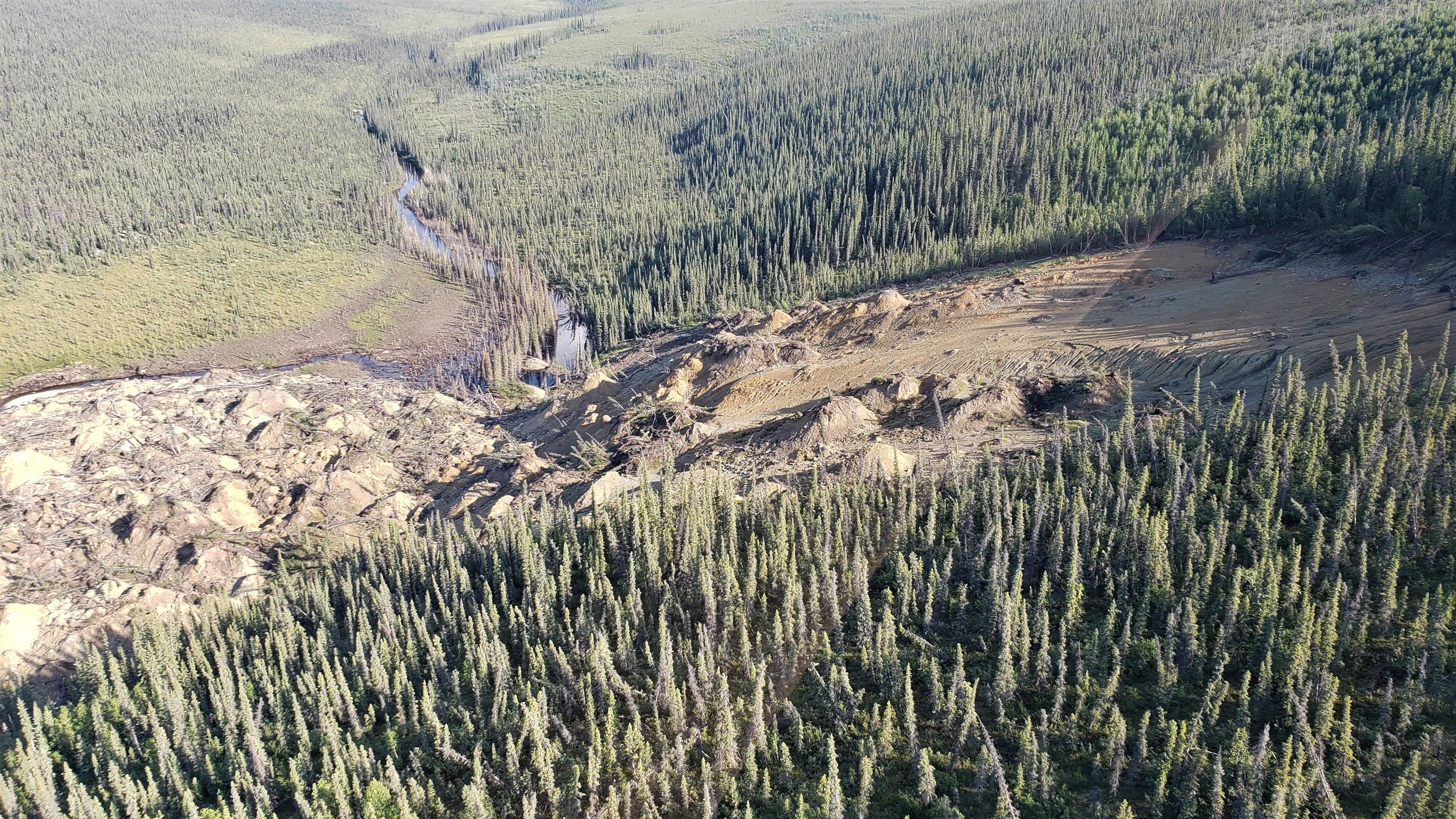
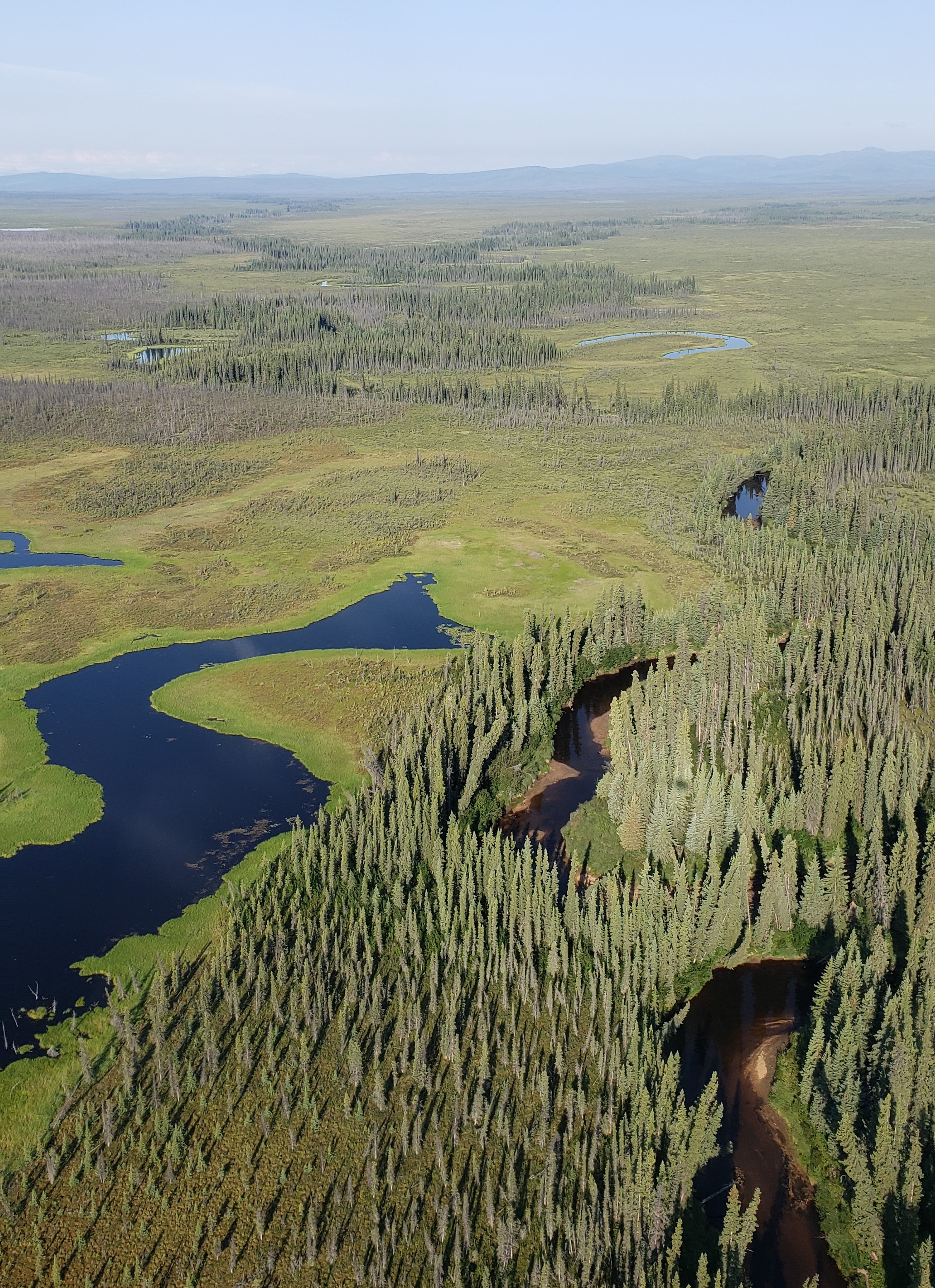
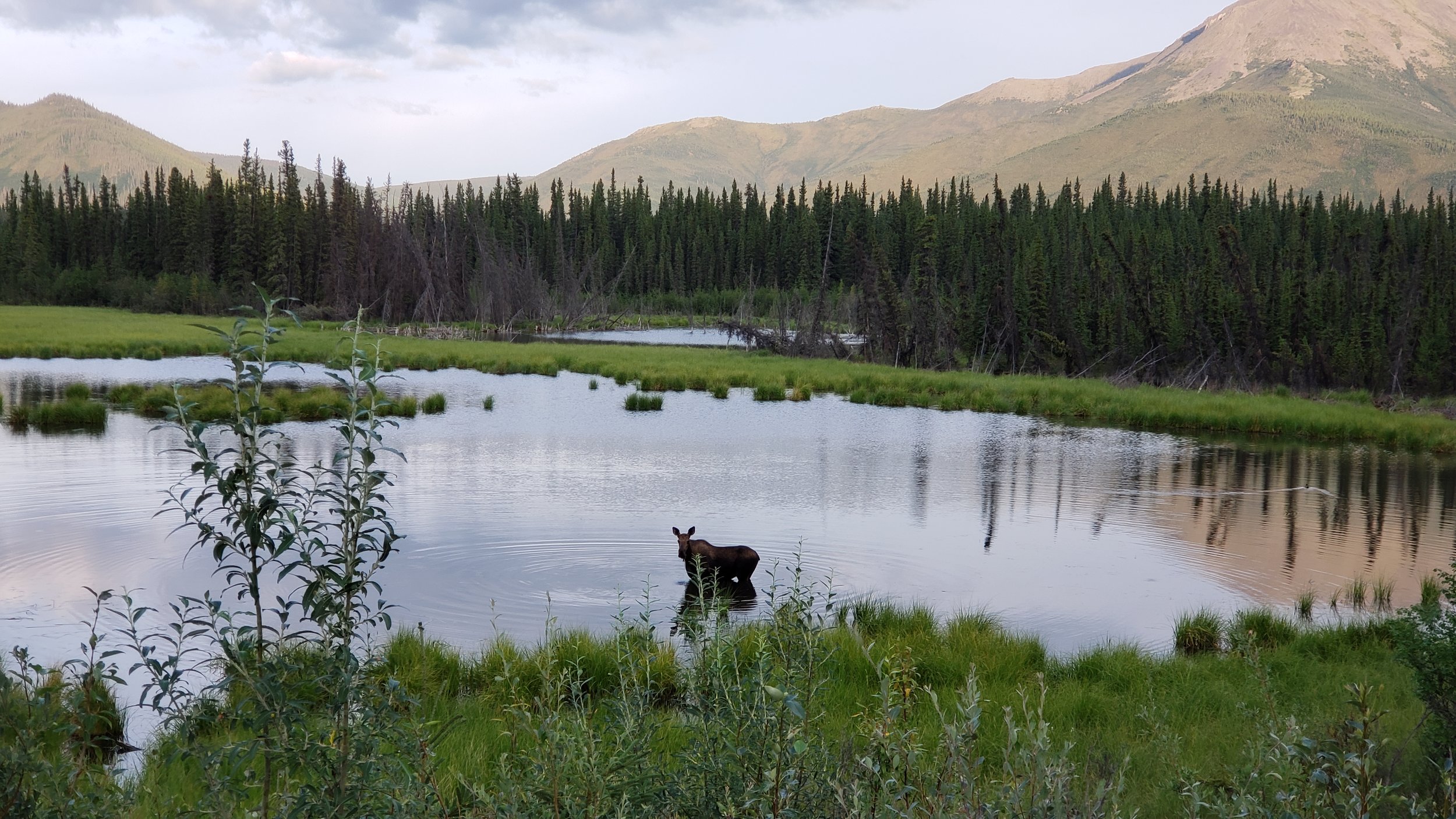
The BLM wetland mapping project and its fieldwork continued in July with GSS Staff members Kevin Stark and Eric Lindquist traveling to interior Alaska. This portion of the project covers around 6,000 square miles north of Tok, Alaska along the Canadian border to Eagle and west to nearly Delta Junction. The area primarily administered by the BLM is known to be vast, rugged and free of human development. A wide variety of wildlife was present and observed throughout the project area. The location is crisscrossed by many rivers and mountains with only one significant road, the Taylor Highway, bisecting the project area.
Alaska contains approximately 65% of the nation’s wetlands. In the current study area, wetlands are extensive and have not been mapped previously. This multi-part project will create data for use in further analyses, and provide others with data to track changes and plan as climate and resource extraction continue to be challenges in Alaska.
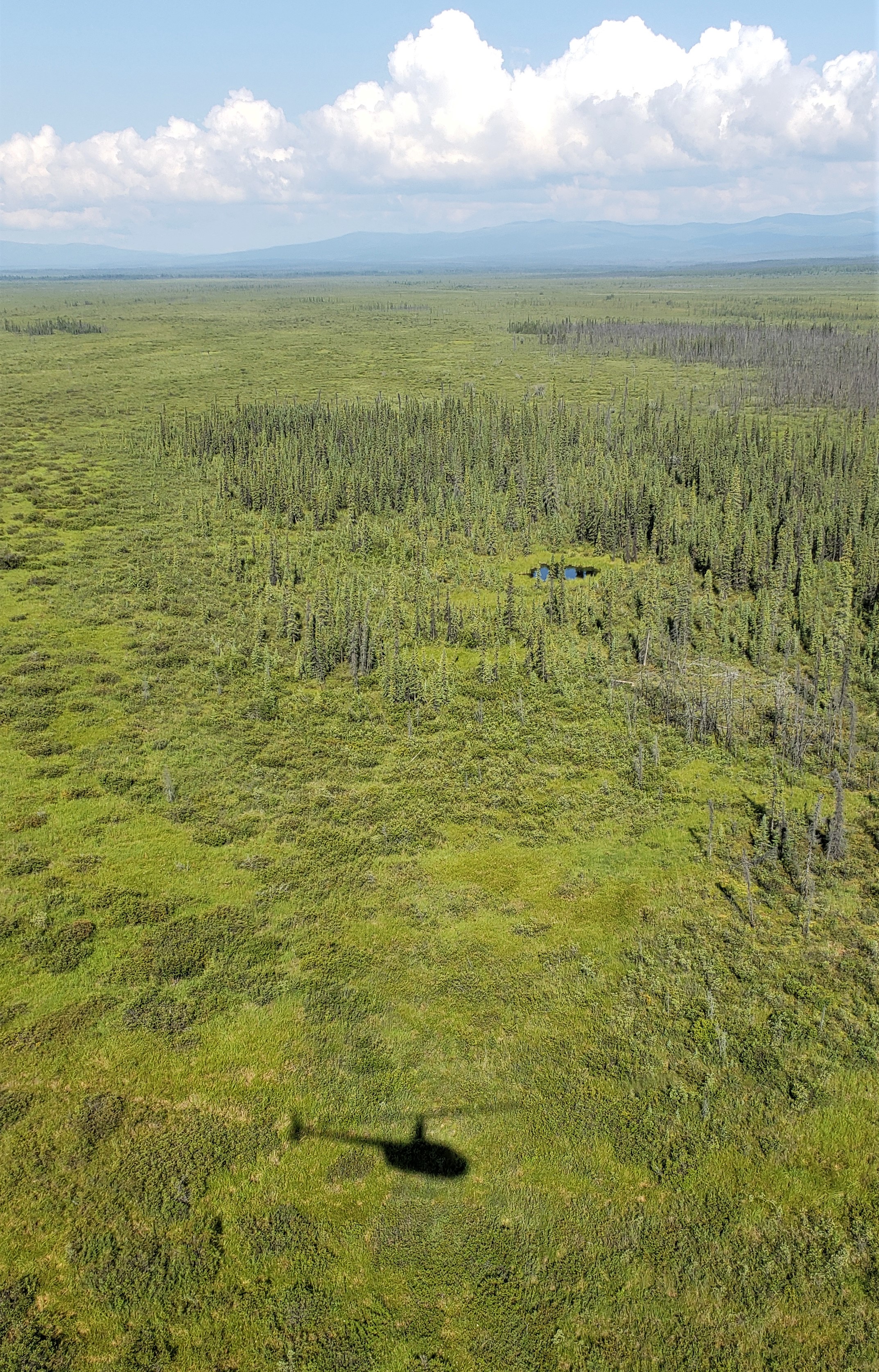
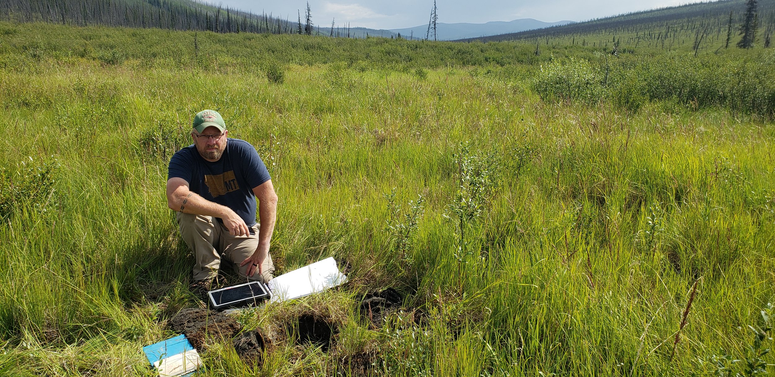
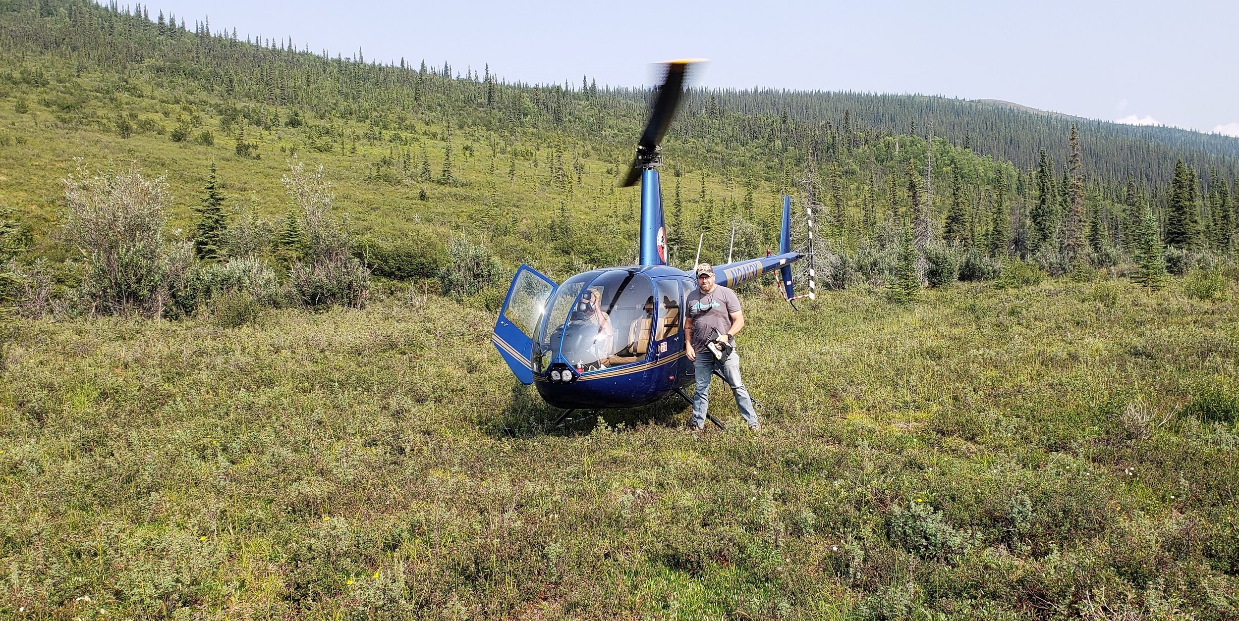
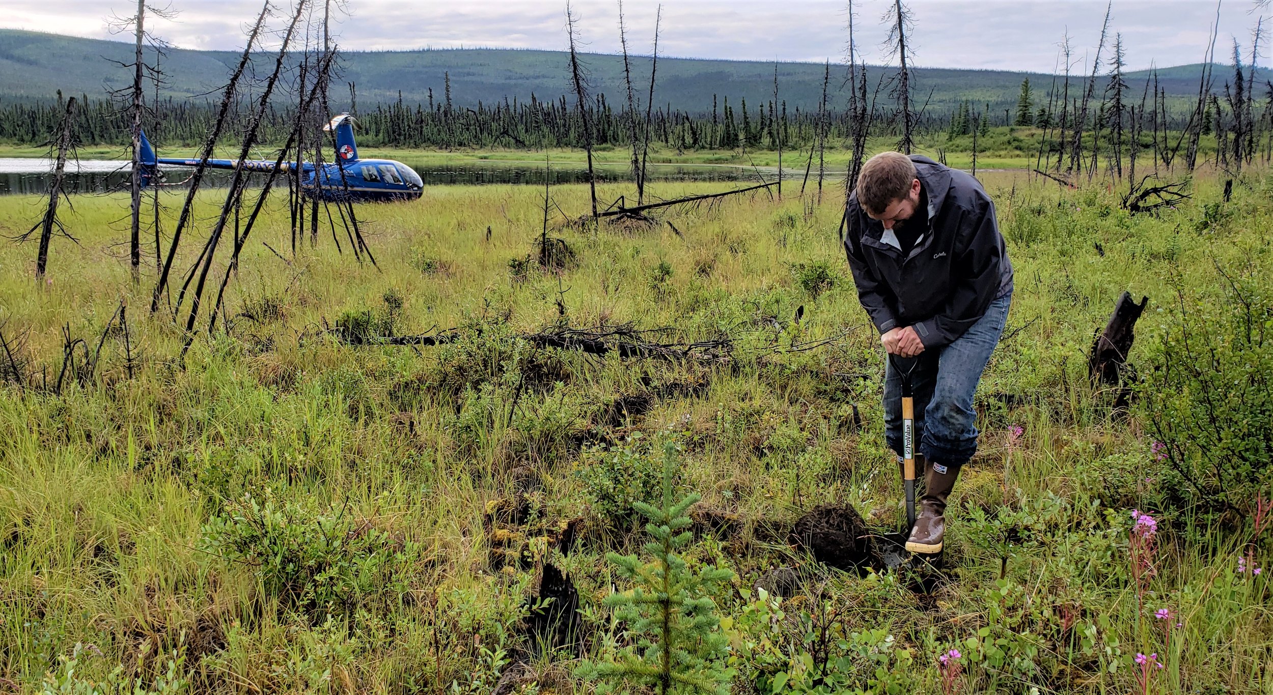
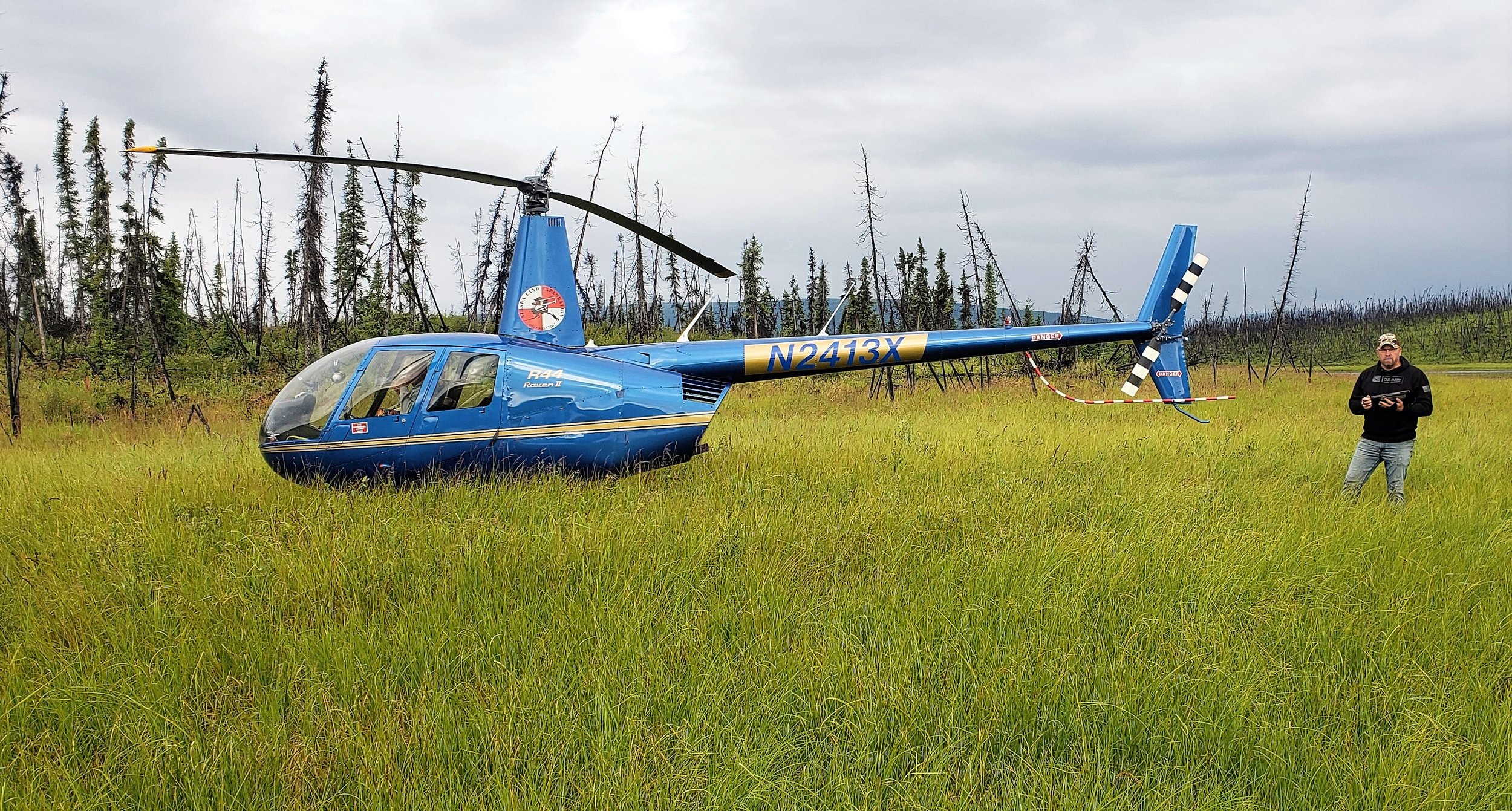
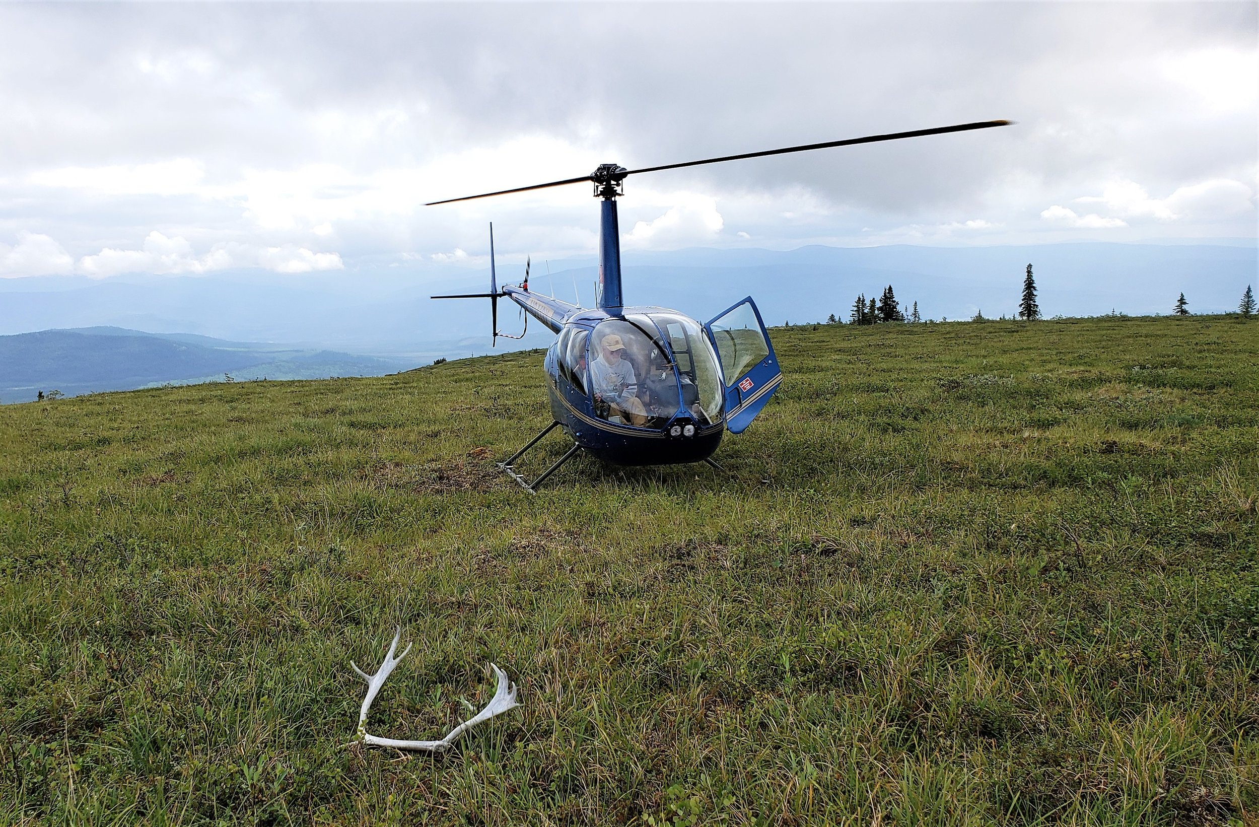
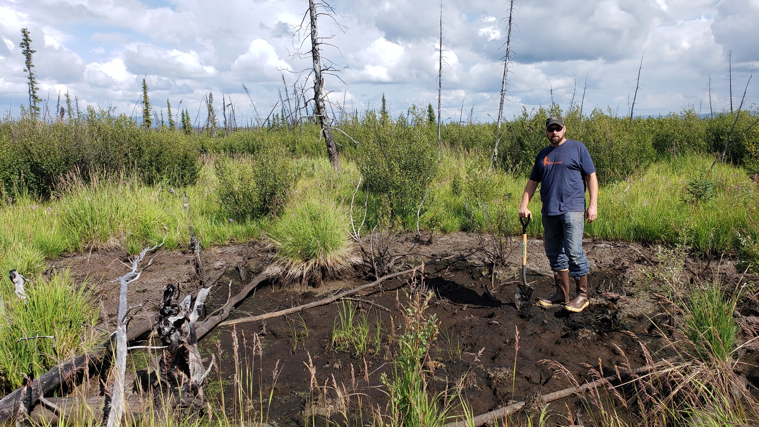
Eric and Kevin worked the area utilizing helicopter services out of Tok to familiarize themselves with the landscape and correlate satellite imagery, hydrology data, fire history data, and other collateral data with the landscape as observed from a helicopter and from select ground stops.. Vegetation, soils and hydrologic indicators of wetlands along with landscape positions were documented to inform the digital wetland mapping, a process which will be done over the next year or more. The correlation between trip observations and satellite imagery will be used to enhance the process of creating wetland data for the National Wetlands Inventory (NWI) program run by the United States Fish and Wildlife Service (USFWS). Kevin and Eric also met with USFWS staff to discuss findings and bring local knowledge and expertise to the project.