BLM project continues with Idaho fieldwork
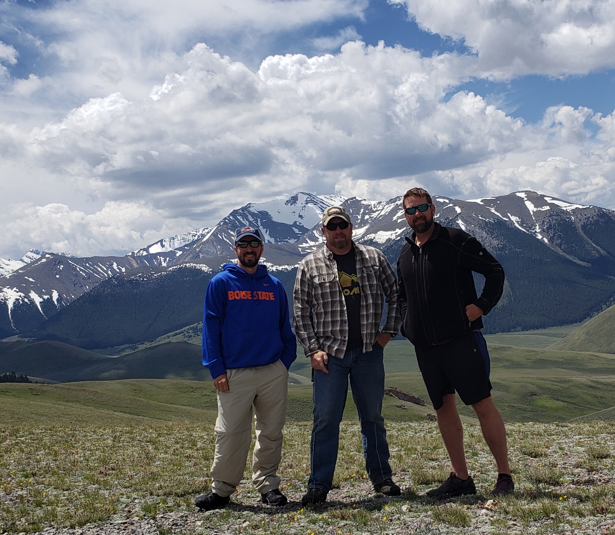
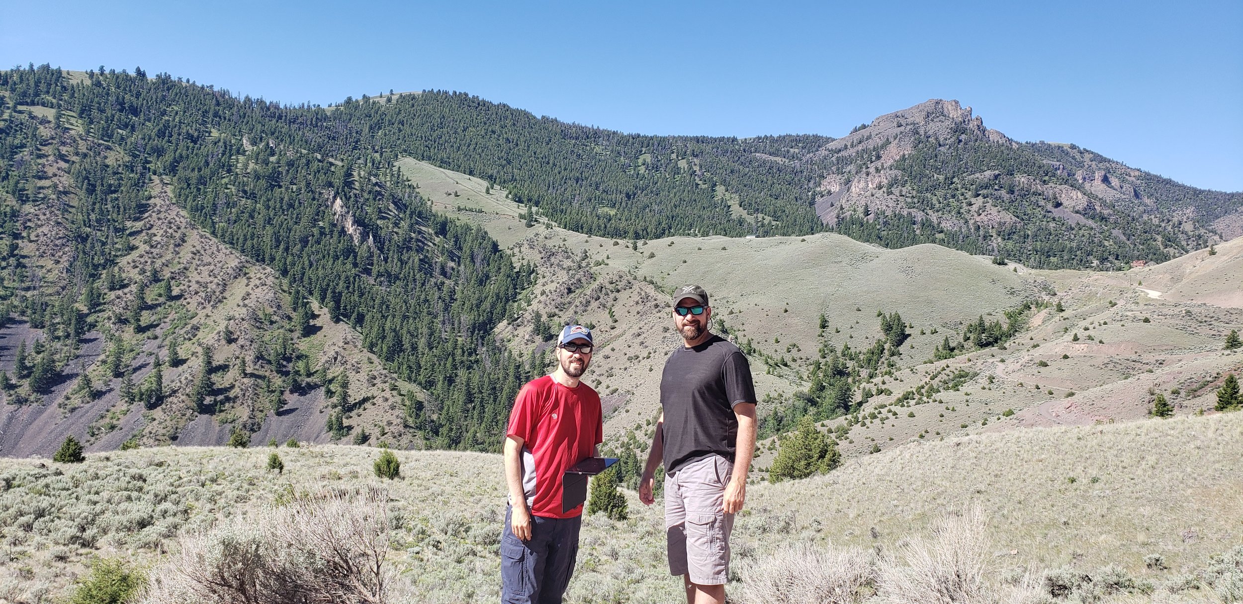
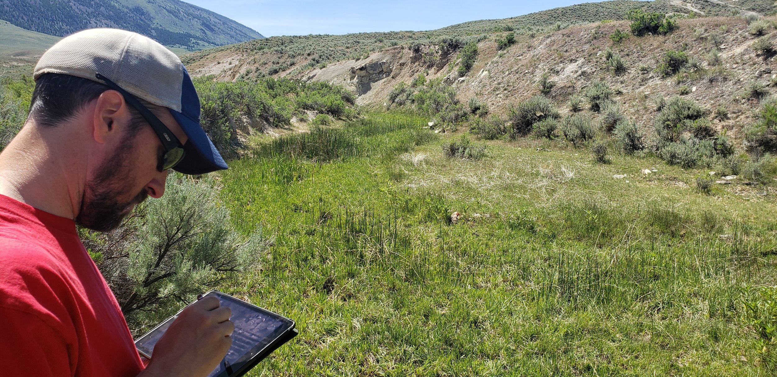
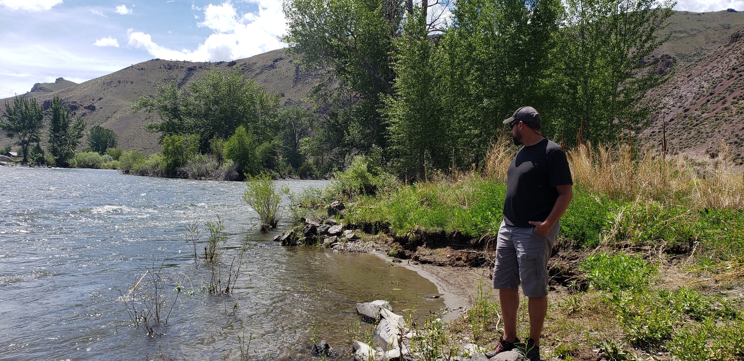
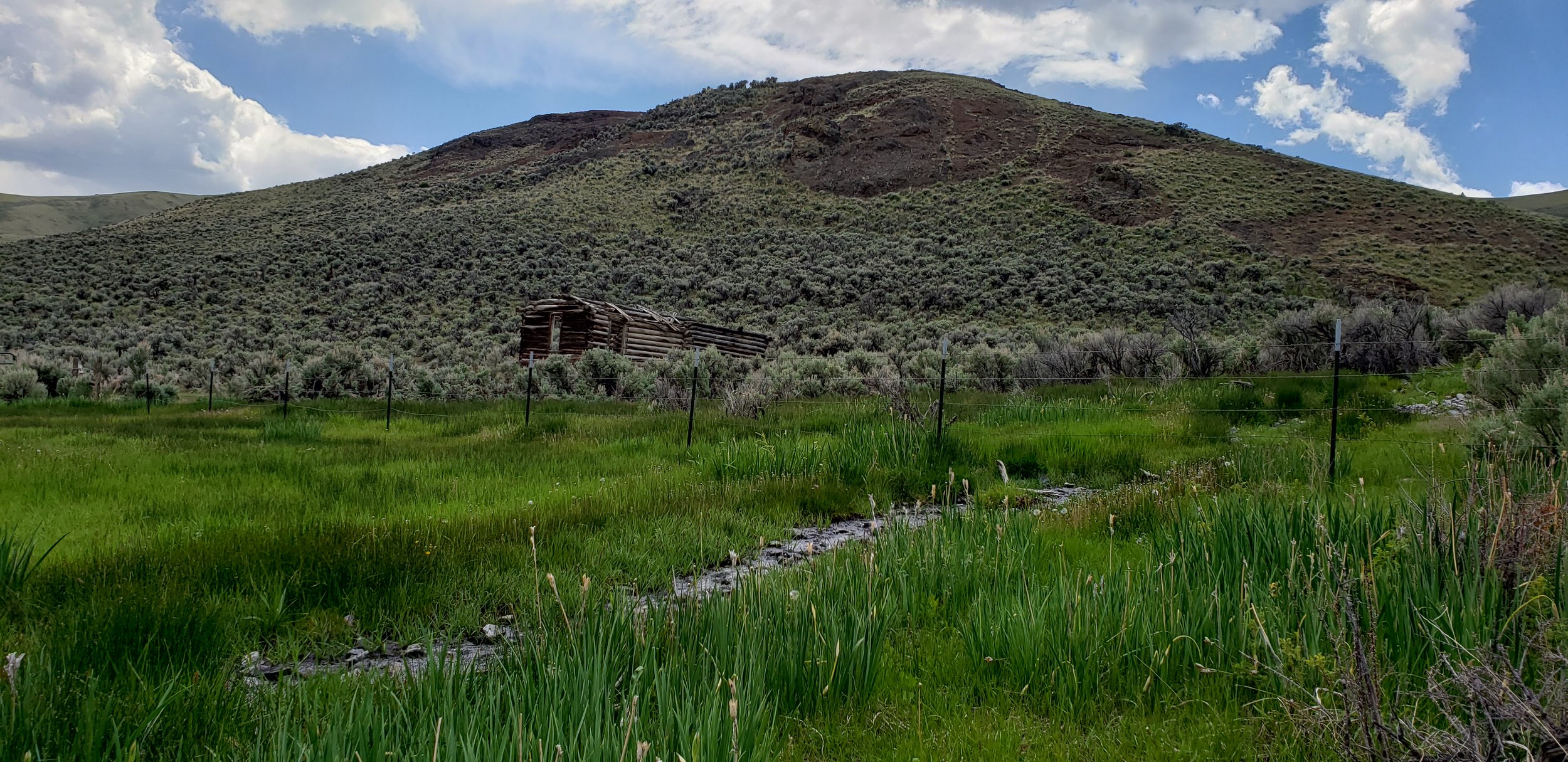
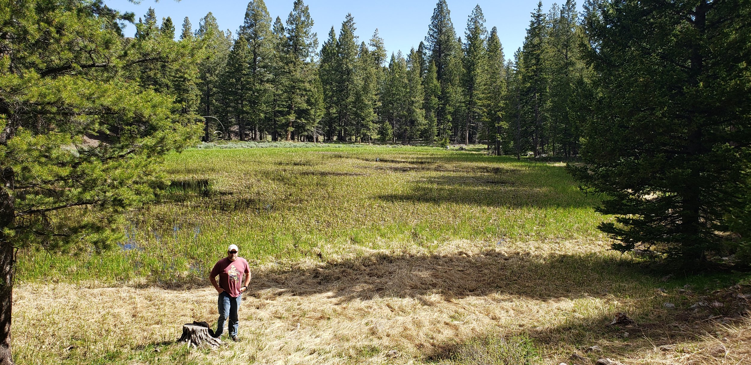
In mid-June, GSS staff members Kevin Stark, Andy Nadeau, and Eric Lindquist spent 10 days in northeastern Idaho doing pre-mapping fieldwork for the Bureau of Land Management Wetland and Riparian Area Mapping and Assessment Project.
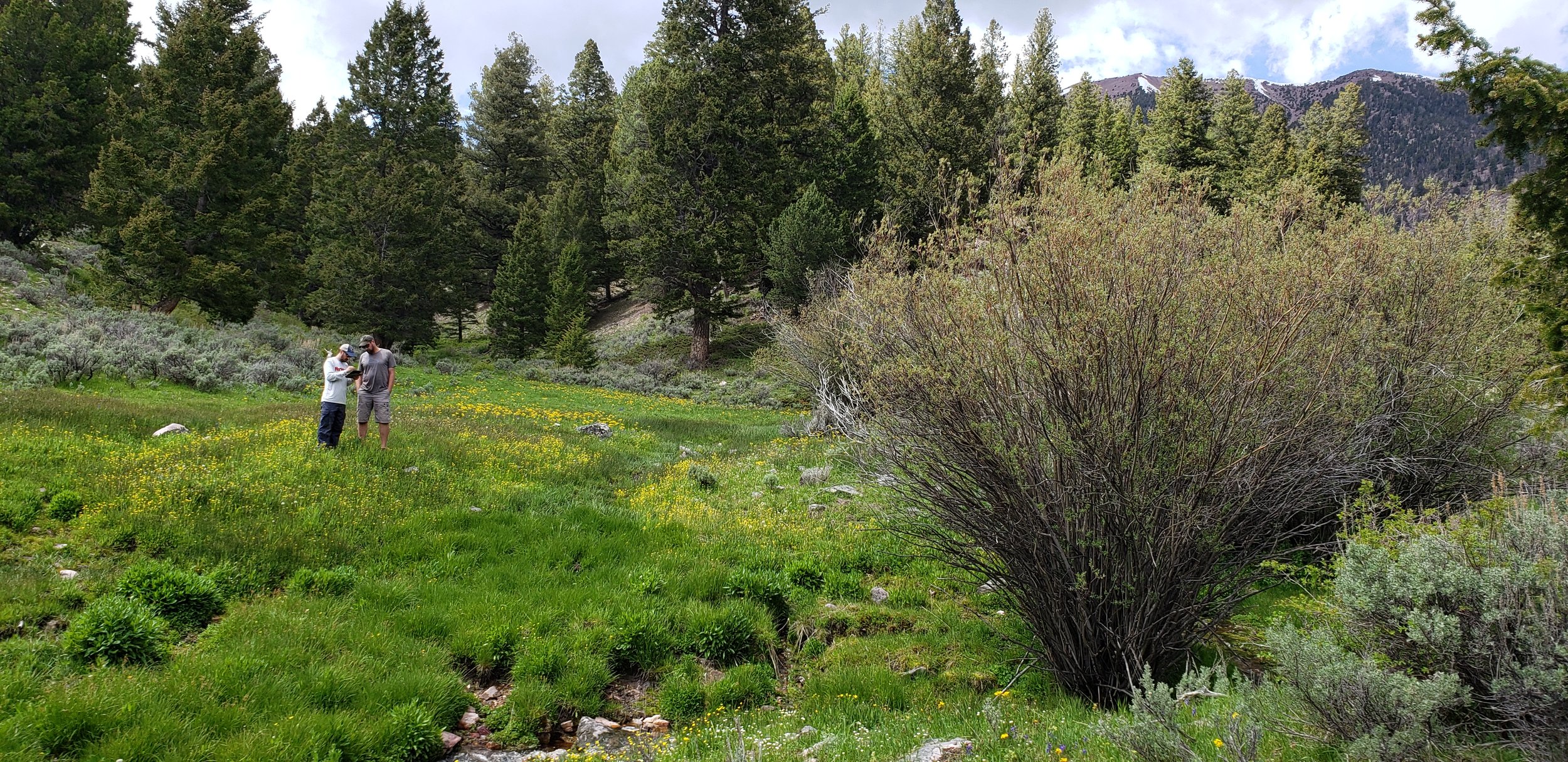
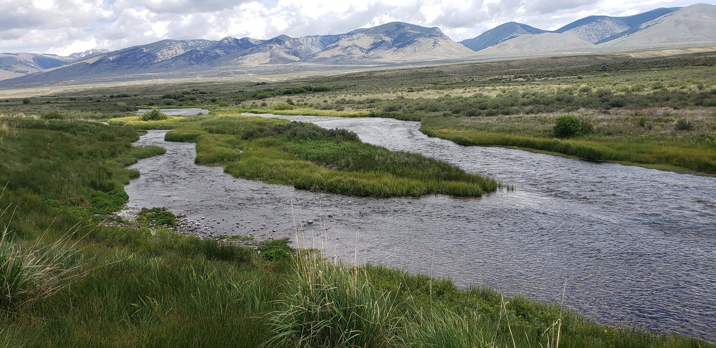
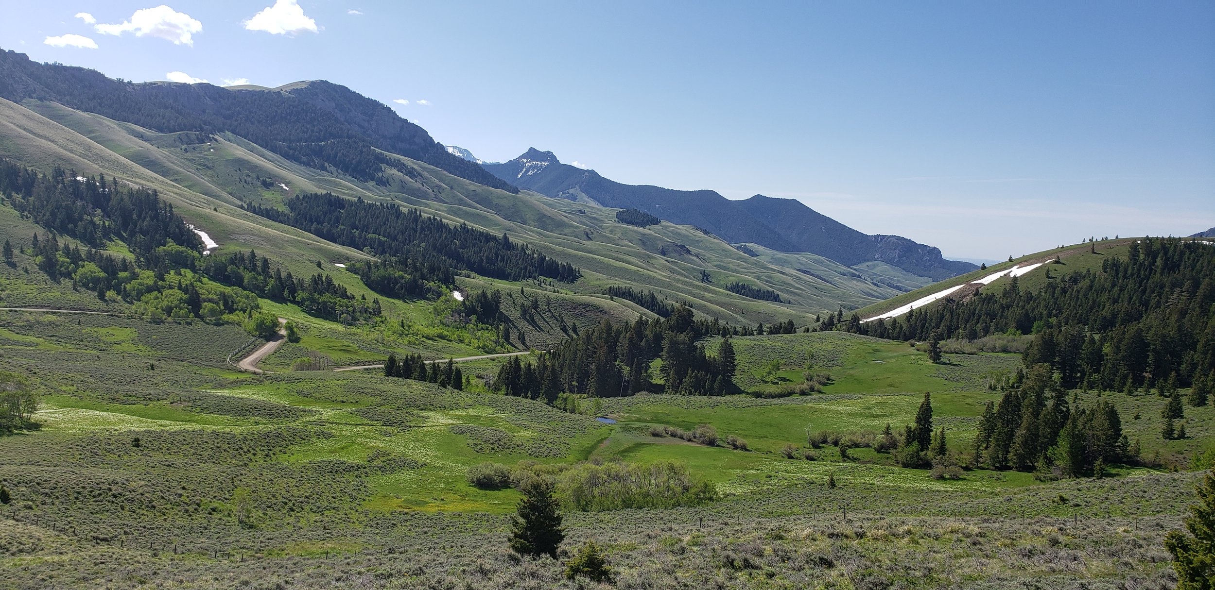
The team traveled the three major valleys and mountain regions of the study area located along the Montana border and down to the Snake River plain. This part of Idaho includes parts of the Bitterroot Mountains, Salmon River Mountains, Lemhi Valley, and the Lost River Valley and more. Staff visited the unique landscapes in order to ‘ground truth’ upcoming mapping in the area. They also met with members of the Bureau of Land Management (BLM) while in the field to enhance understanding of the area. Dozens of different wetland sites were visited, making it a priority to document the present plant species, how water was moving through and sitting in the wetland landscapes, as well as the types of human-altered water uses in the area. The geography of the study area has influenced much of its use, especially water and land use, and with ranching being the dominant economic activity, the limited and highly modified water supplies of the area must be shared by cattle and native wildlife (e.g., elk, deer, pronghorn).
Once mapping and classification of these semi-arid western wetlands is complete, a wetland functional assessment will be performed to determine what services the wetlands can provide to the surrounding ecosystem.