NEWS
Field Work with an Alaska Partner
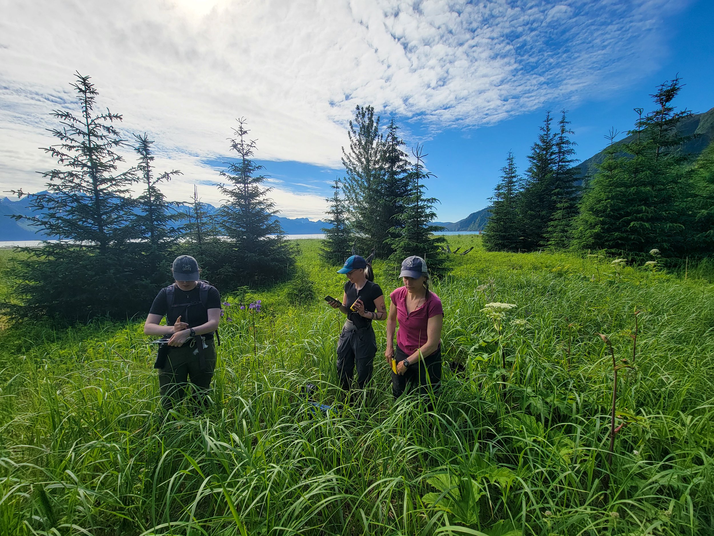
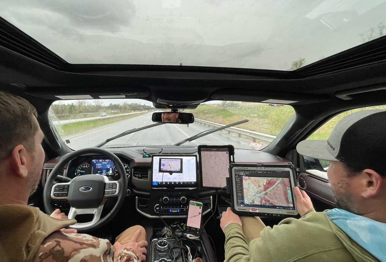
In mid-July, GSS Assistant Director Kevin Stark spent a few days on Alaska’s Kenai Peninsula doing road-based fieldwork with a GSS partner team from the University of Alaska-Anchorage’s Alaska Center for Conservation Science (ACCS). The goal of the trip was to share field methods for an upcoming project on the Lower Cook Inlet, across the Kenai Peninsula, and over to the Prince William Sound. GSS is the lead organization on a Wetland Mapping project for the area and has partnered with ACCS to complete the field studies, which will contribute to the work.
GSS Sends Staff Back to Alaska for Fieldwork
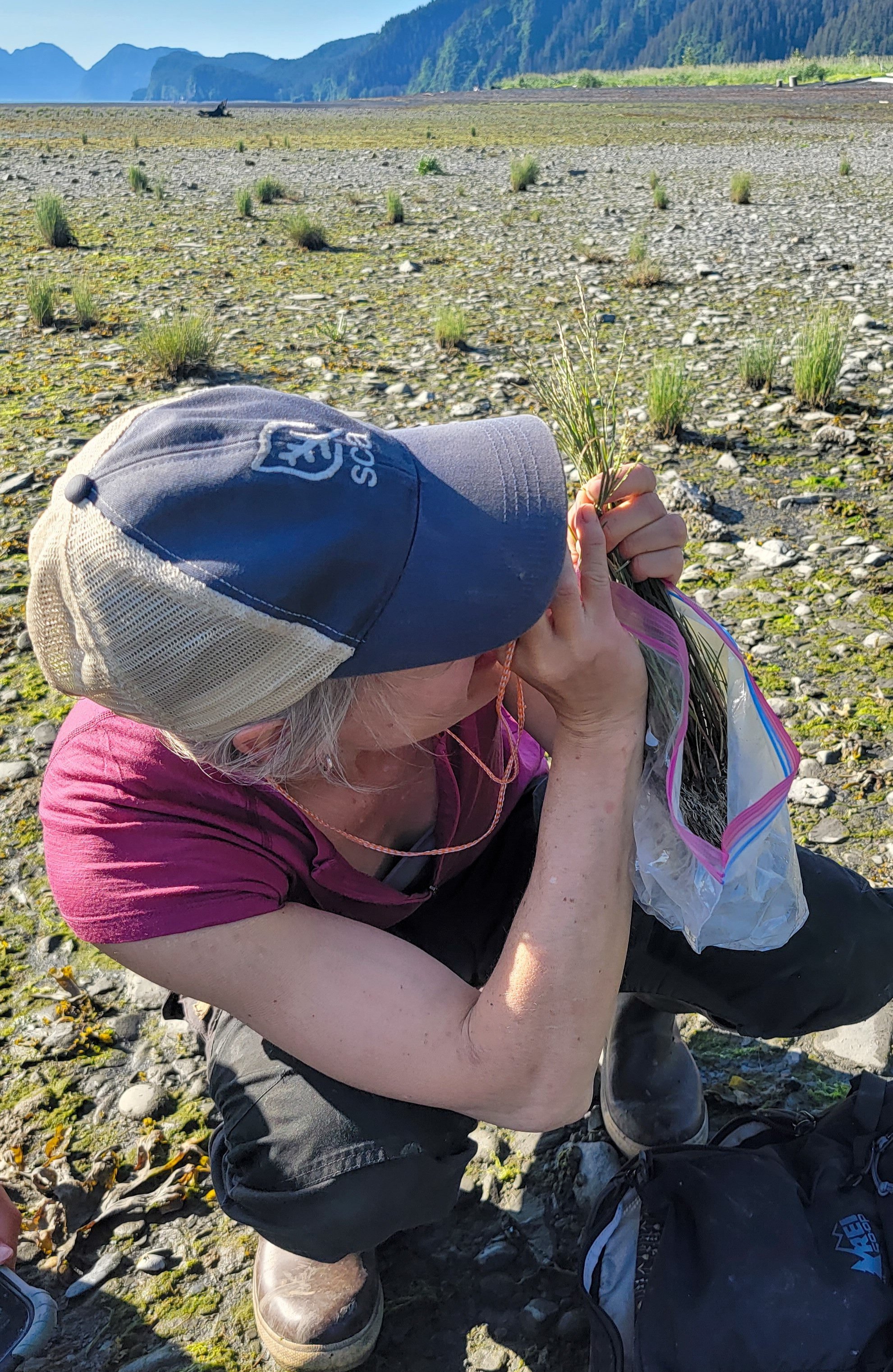
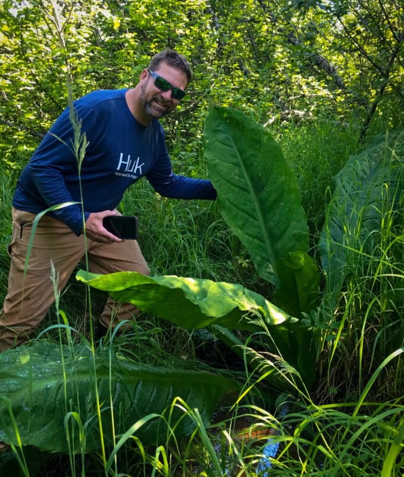
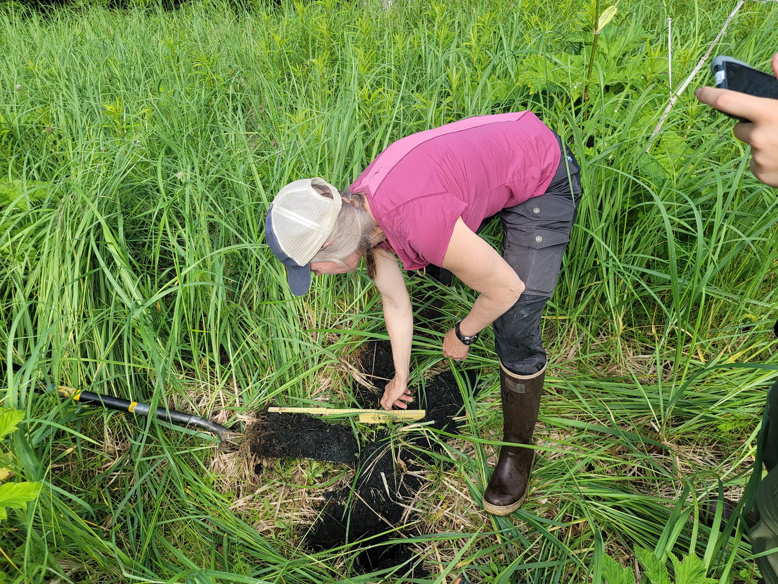
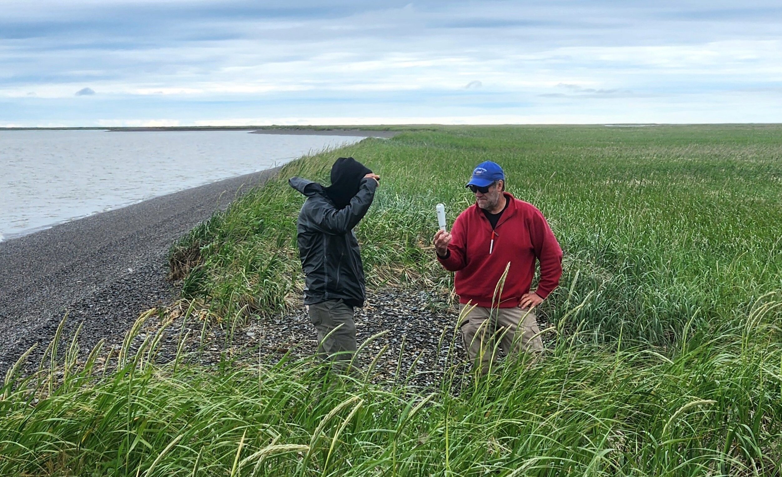
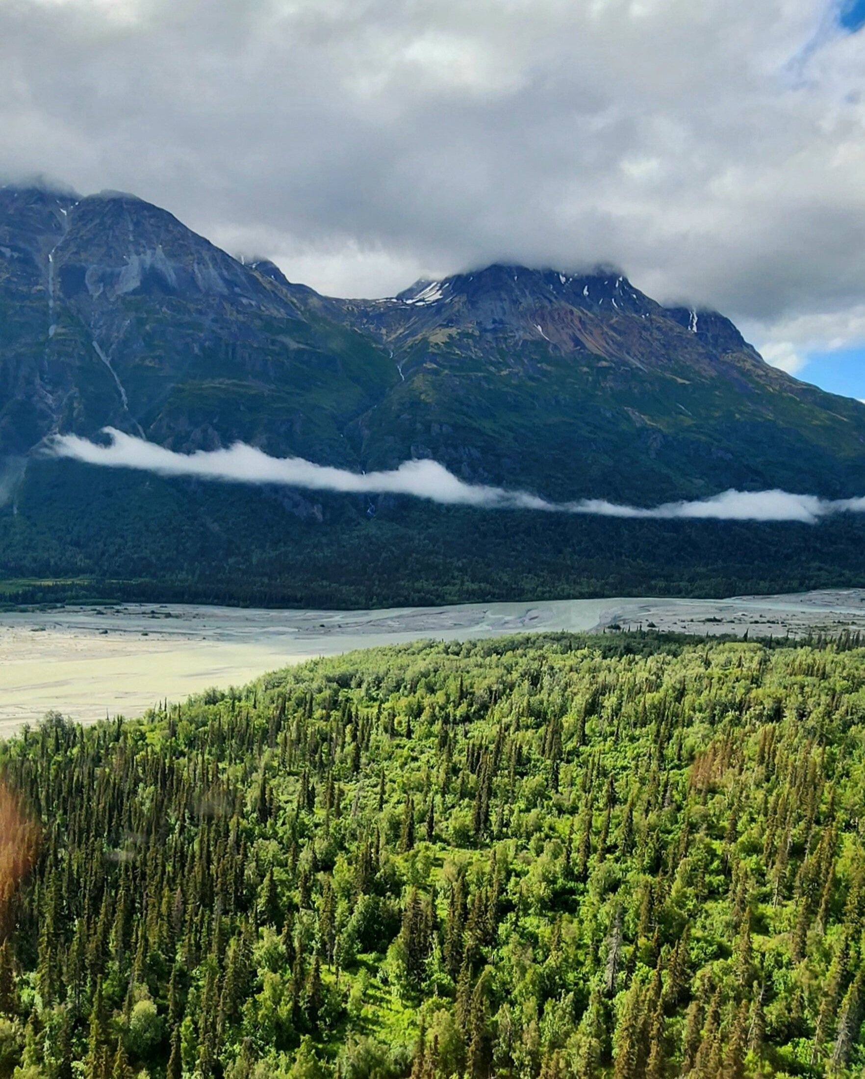
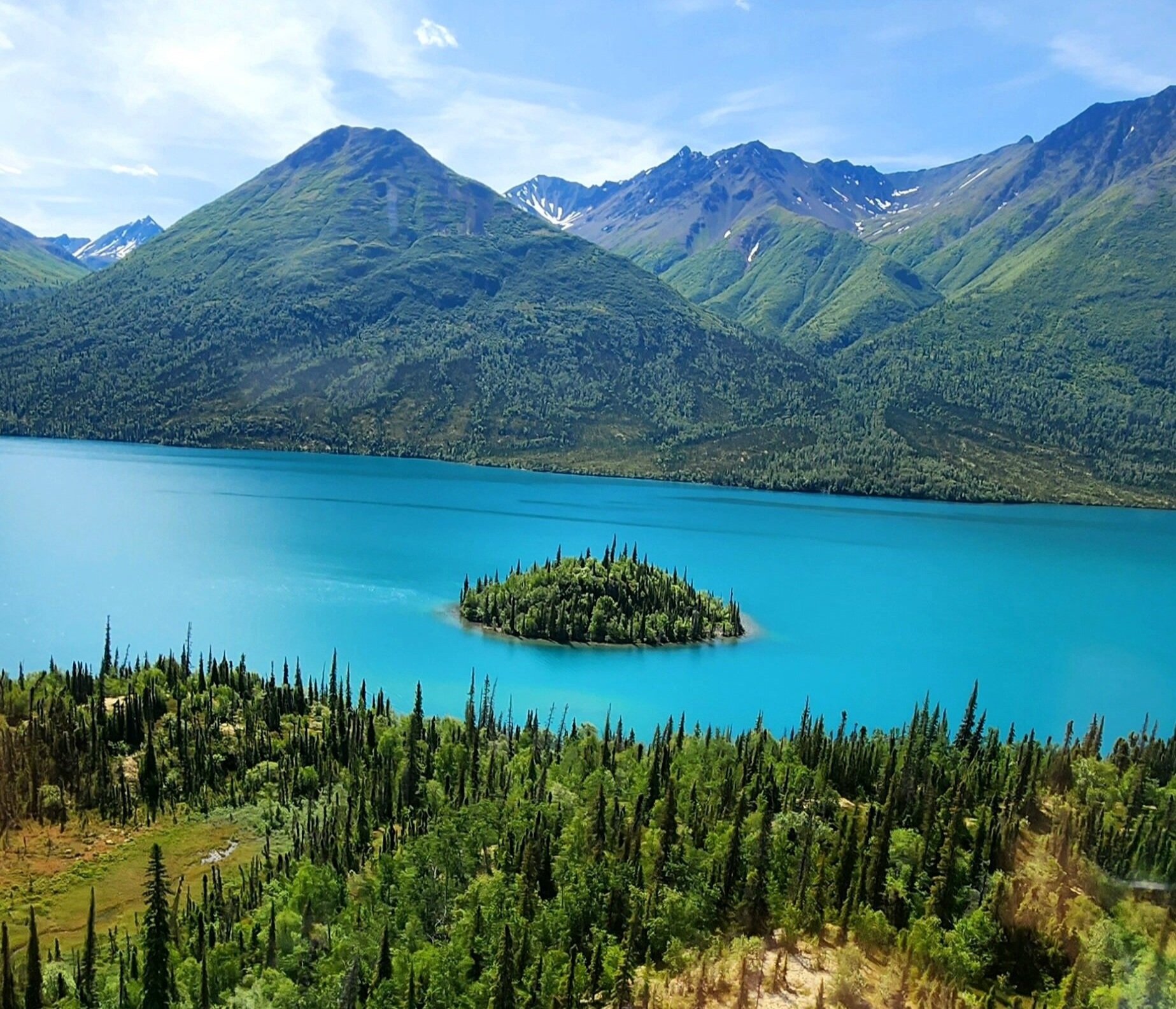
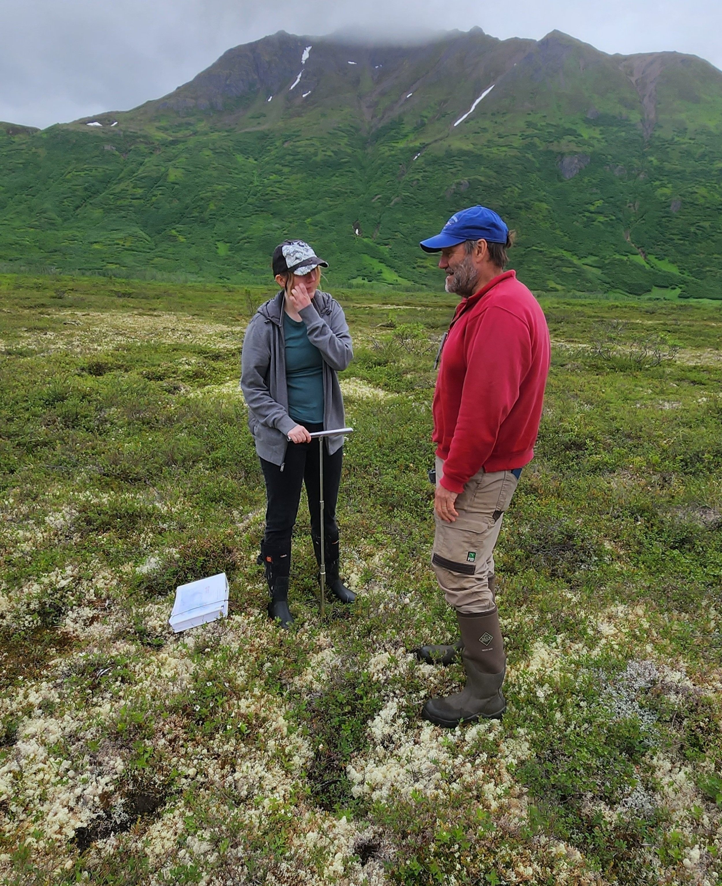
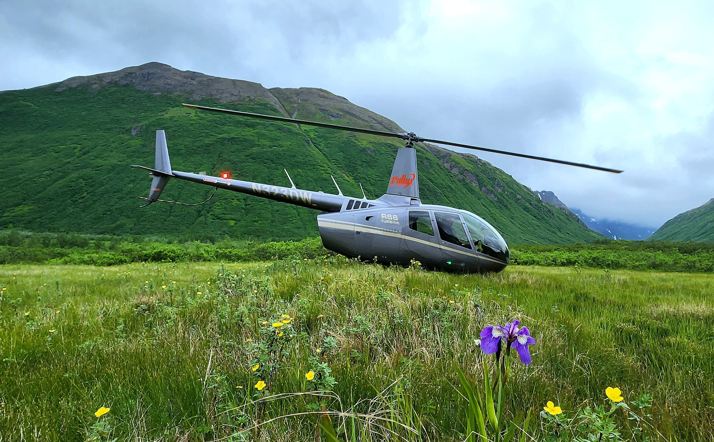
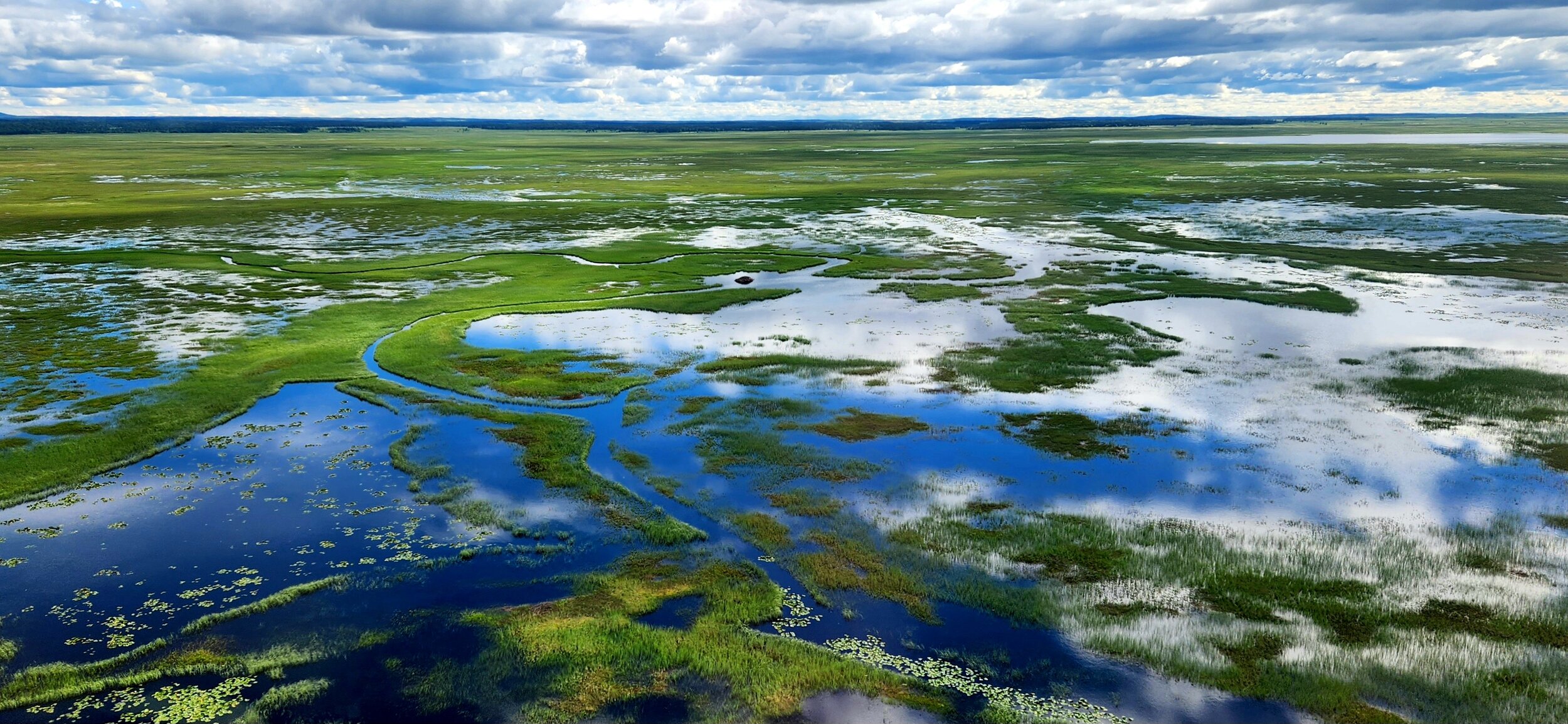
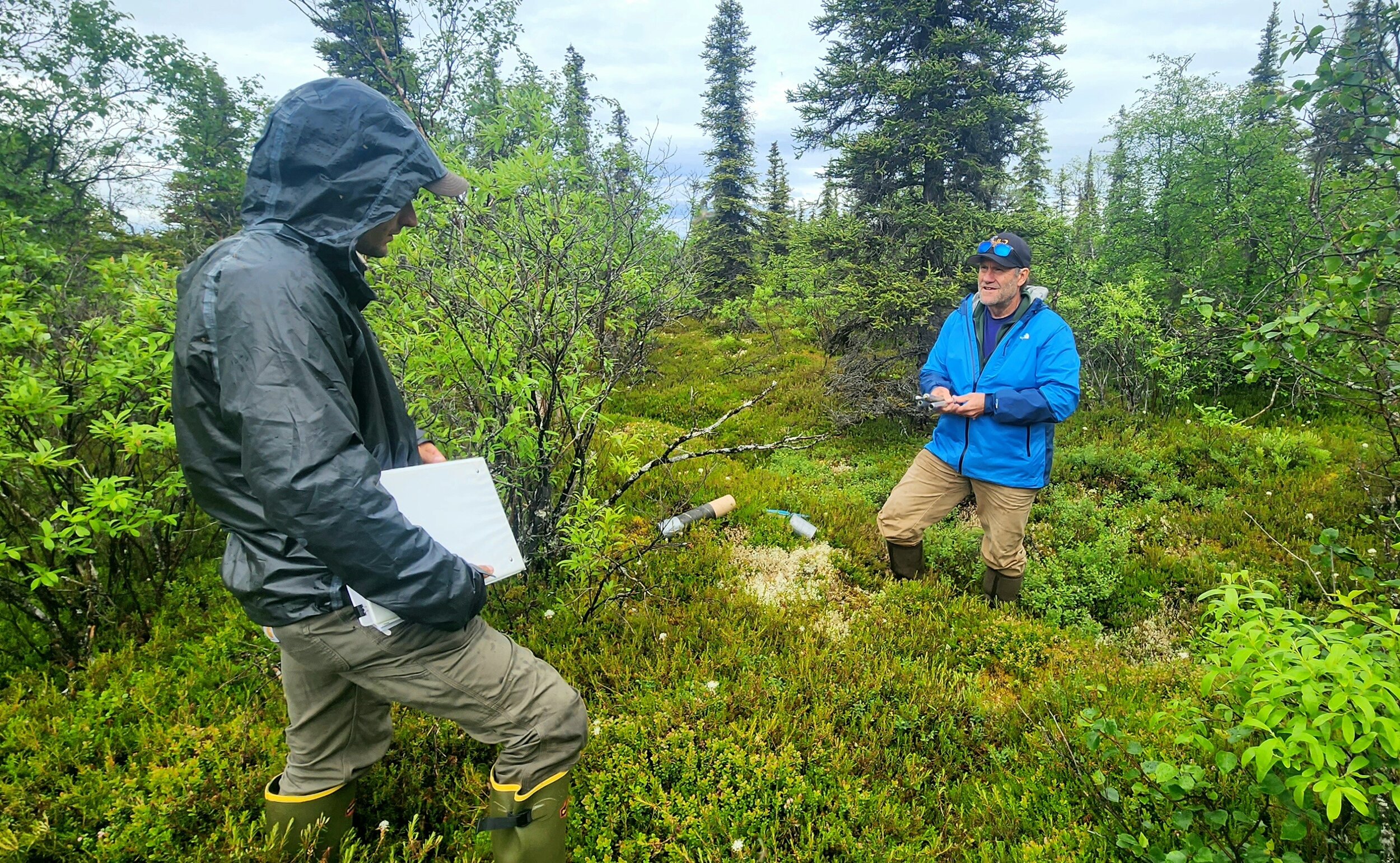
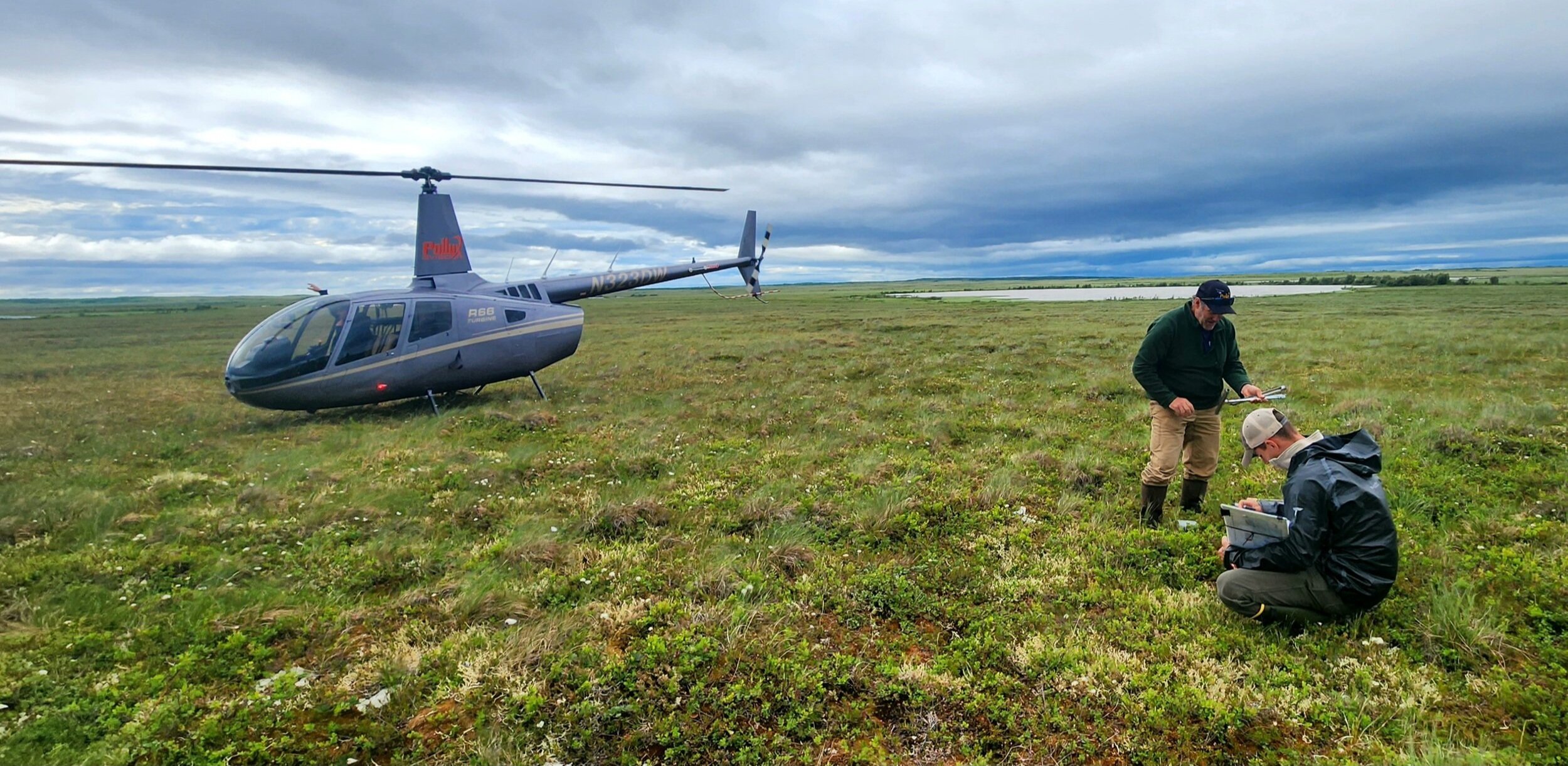
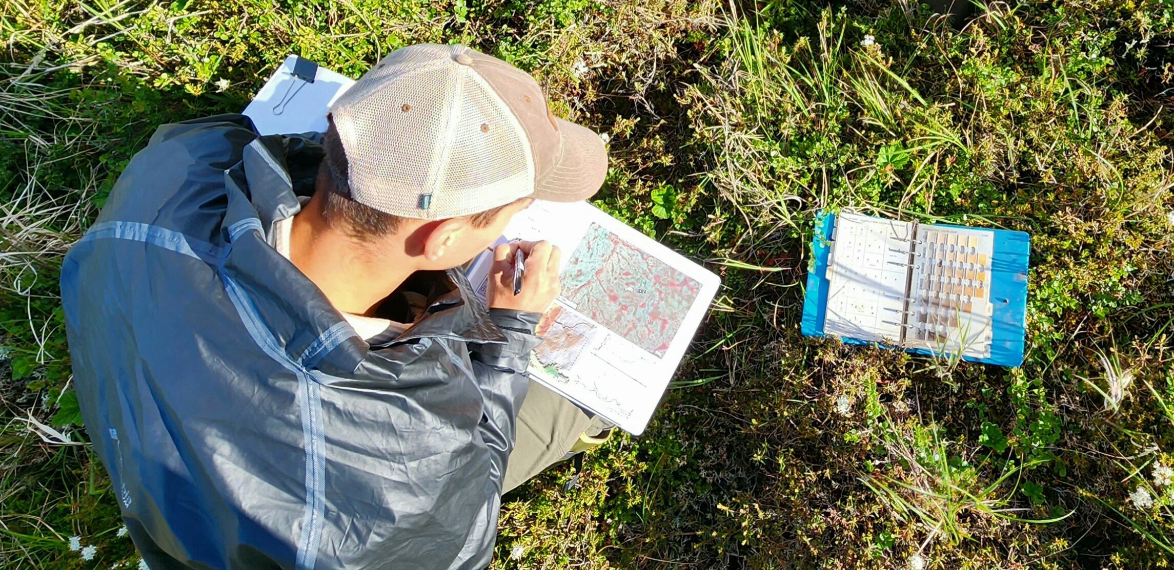
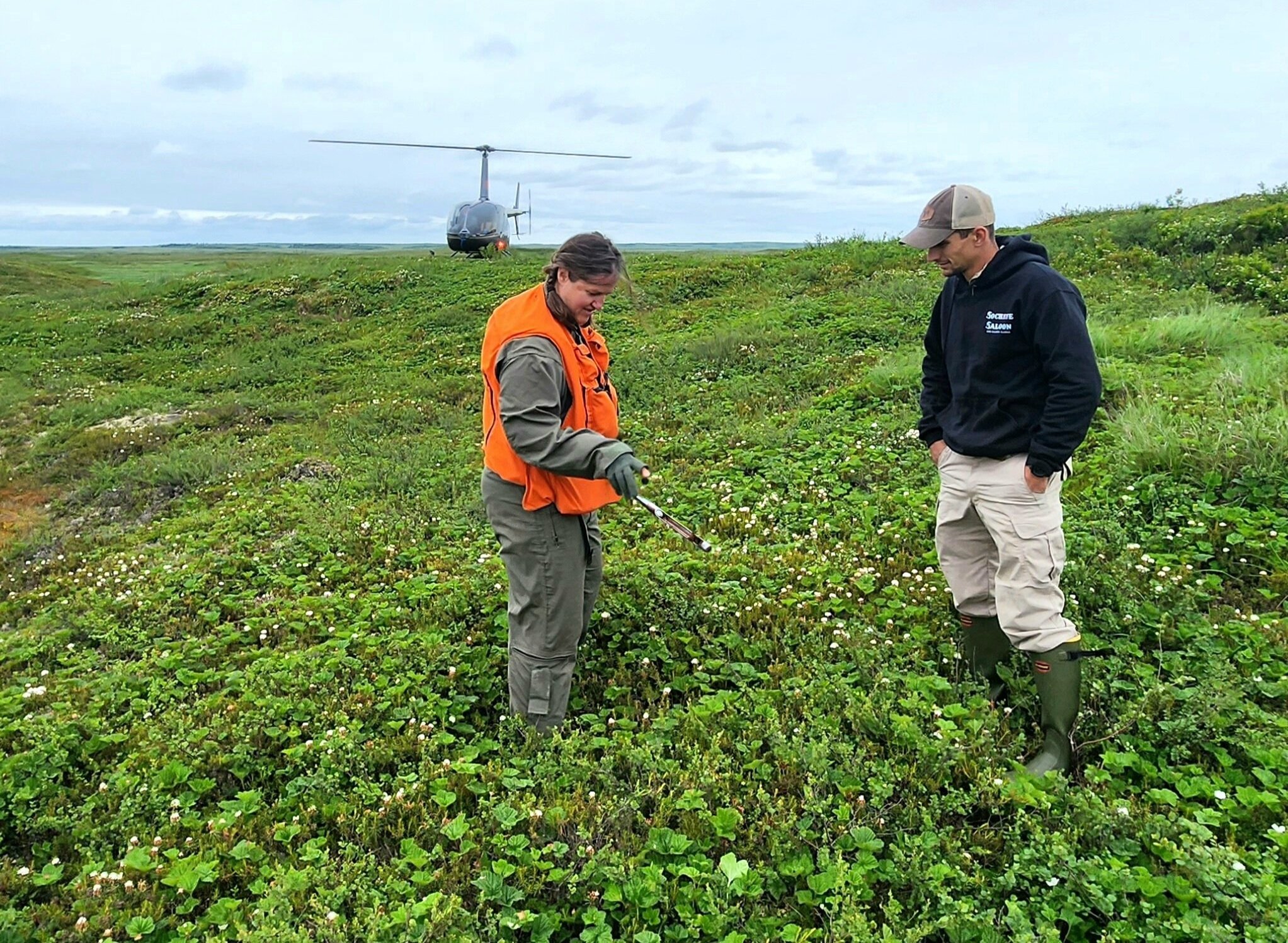
It was another busy summer of ongoing wetland mapping fieldwork in Alaska for GSS! We had a number of staff working in Alaska this July, including a group that spent three weeks in the Bristol Bay region of Southwest Alaska. This year's project area consists of work being completed with partners from the Bristol Bay Native Corporation (BBNC), the National Fish and Wildlife Foundation (NFWF), the U.S. Geological Survey (USGS), and the Bureau of Land Management. Each contract includes a field component for verifying computer-based GIS mapping work, so that wetland data created in the office is compared to actual landscapes, rather than relying solely on the satellite imagery used in the work.
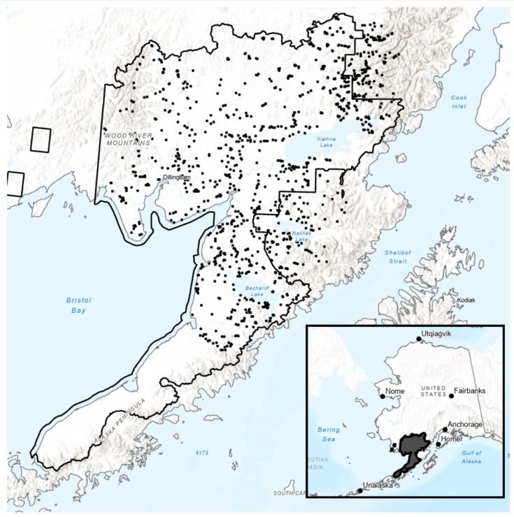
This year’s team was led by Andy Robertson and Eric Lindquist, who spent over 20 days in the vast landscapes of Alaska. The team also included GIS Technicians Ben Moonen and Nicole Murto. The teams worked out of King Salmon, Port Alsworth, and Dillingham respectively. The fieldwork was similar to past years, in that the team completed data collection and data comparisons utilizing helicopters, cameras, soil and vegetation sampling, and more. This work will continue for nearly two more years and will employ numerous staff and students!
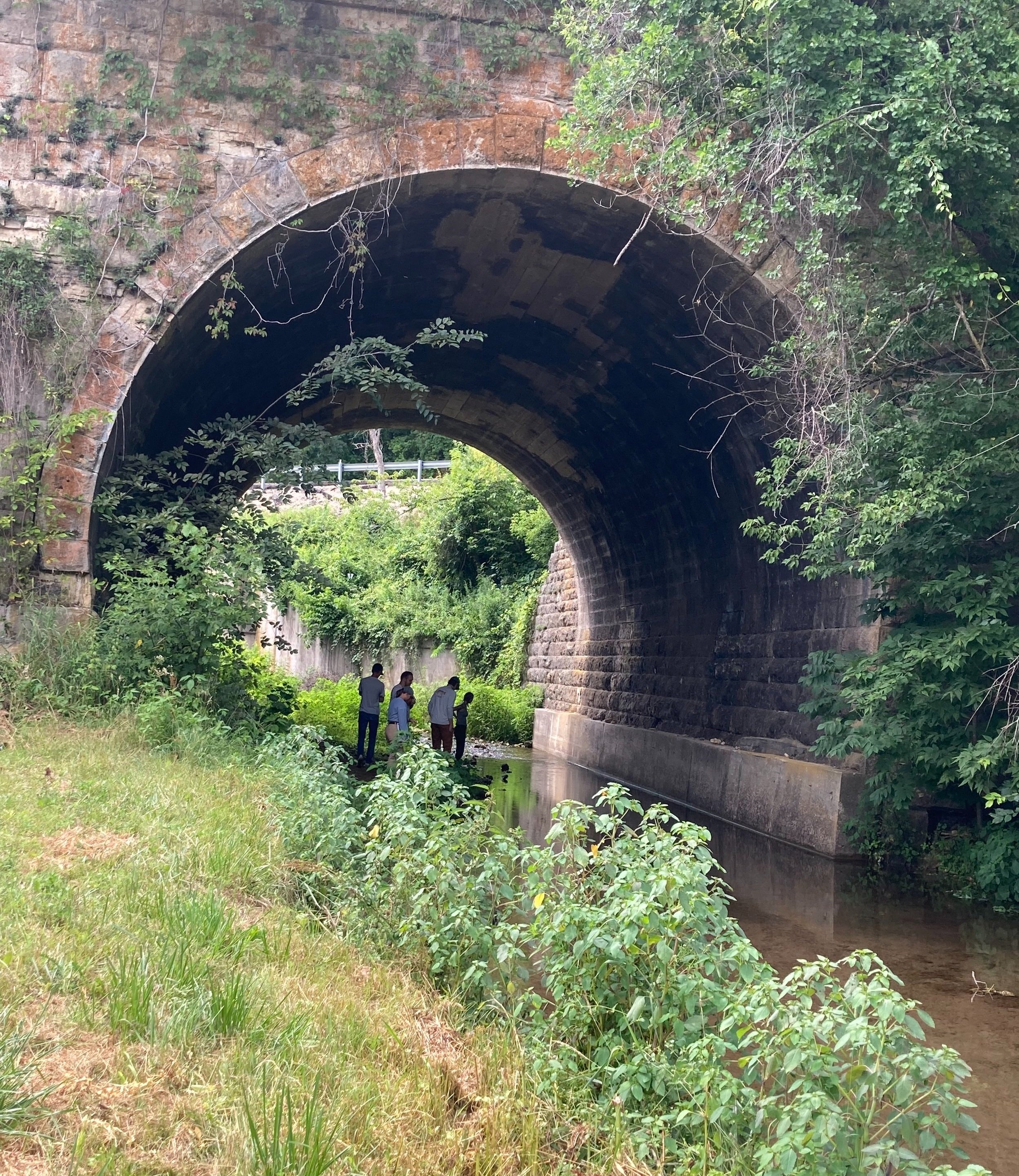
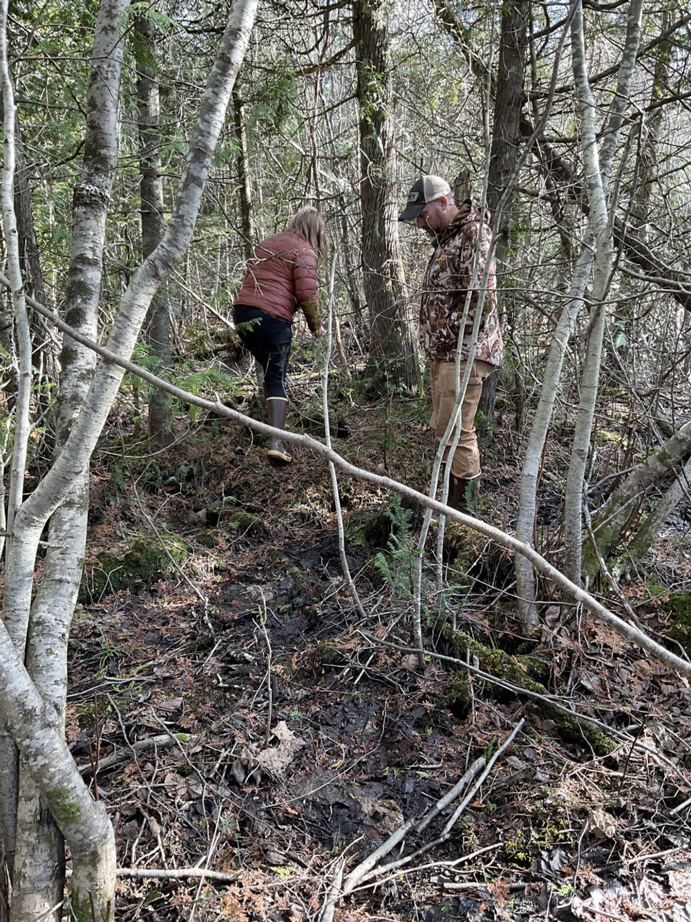
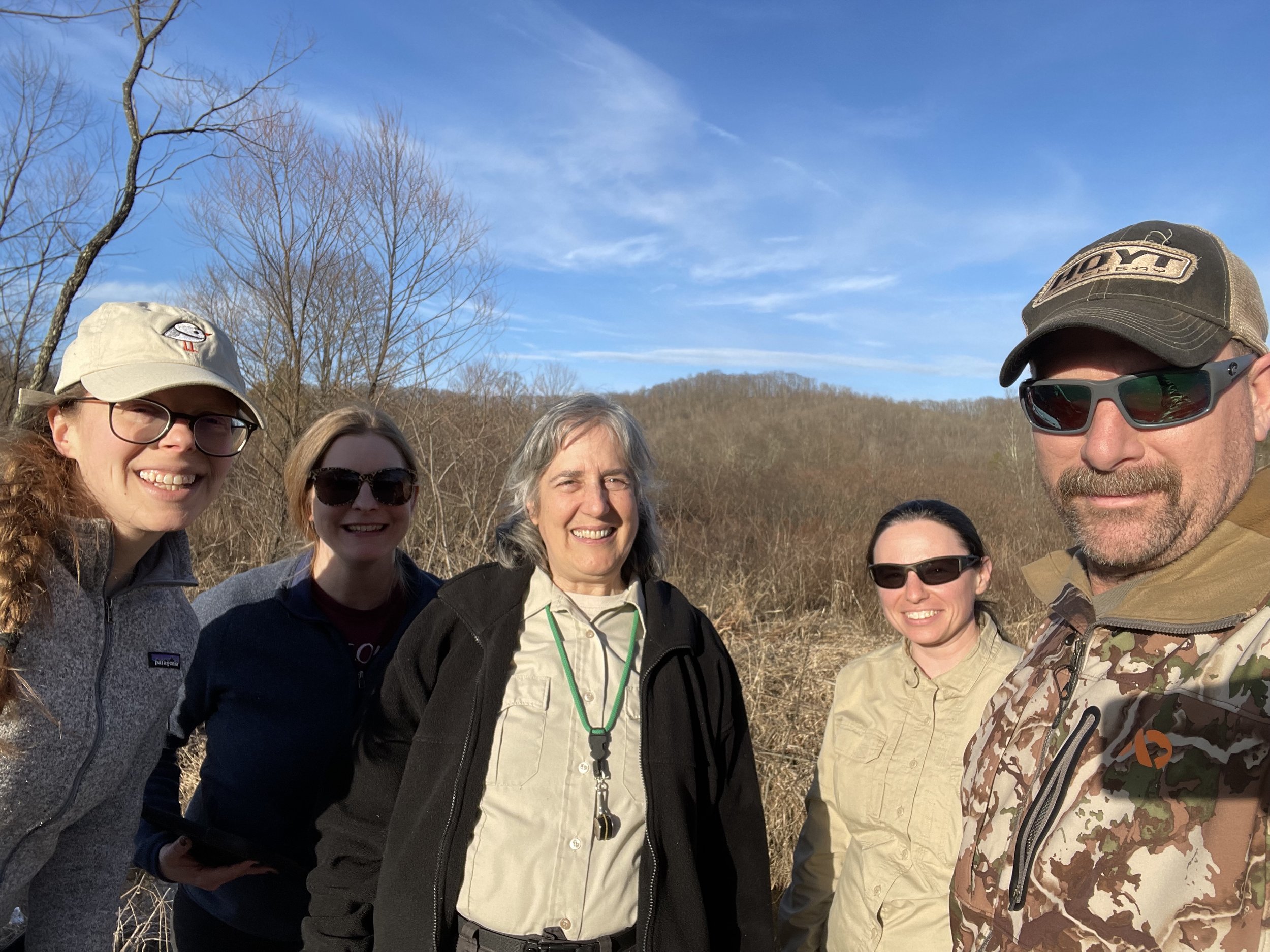
GSS Summer Students Head into the Field
On July 20, fifteen GSS student interns and two of our newer GIS technicians spent a day learning what wetland field verification work is like. Led by GSS Analysts Josh Balsiger and Kathy Allen, the group visited three sites: a saturated wetland just outside Winona, a cold-water trout stream at Farmer’s Park near Stockton, and the wetlands of Cascade Meadow on SMUMN’s Rochester campus. Participants had the opportunity to map what they saw on printouts of aerial imagery, discuss wetland classifications, learn about wetland indicator plant species, and look at wetland soils. The students enjoyed getting to know each other and talking about the different projects they’re all working on, and reported that the experience will help them better understand how what they see in their mapping imagery connects to what actually exists on the ground.
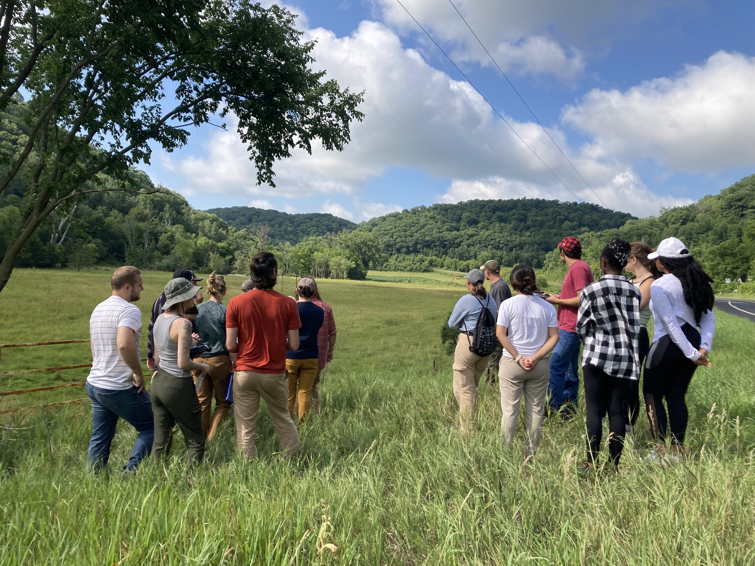
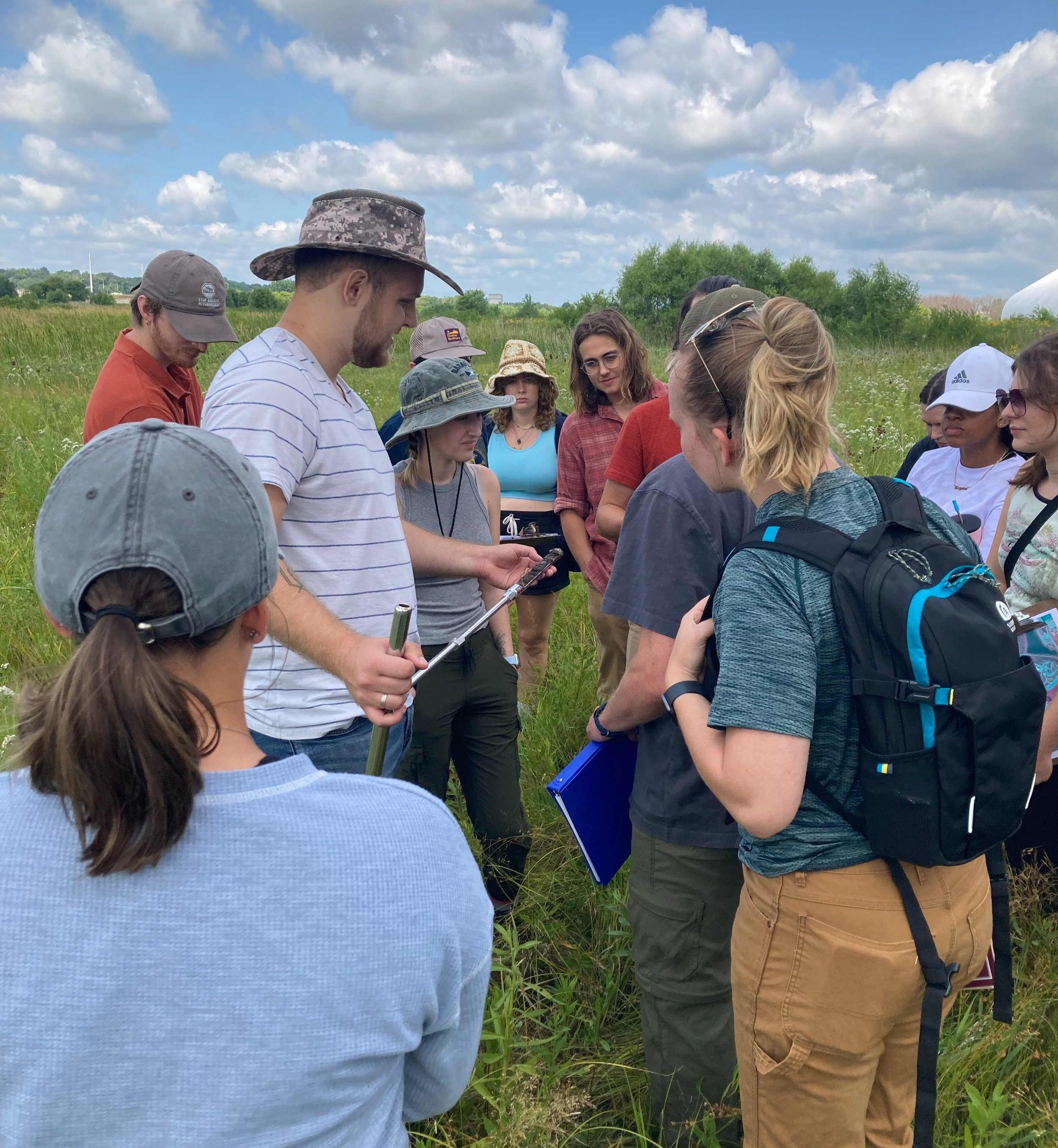
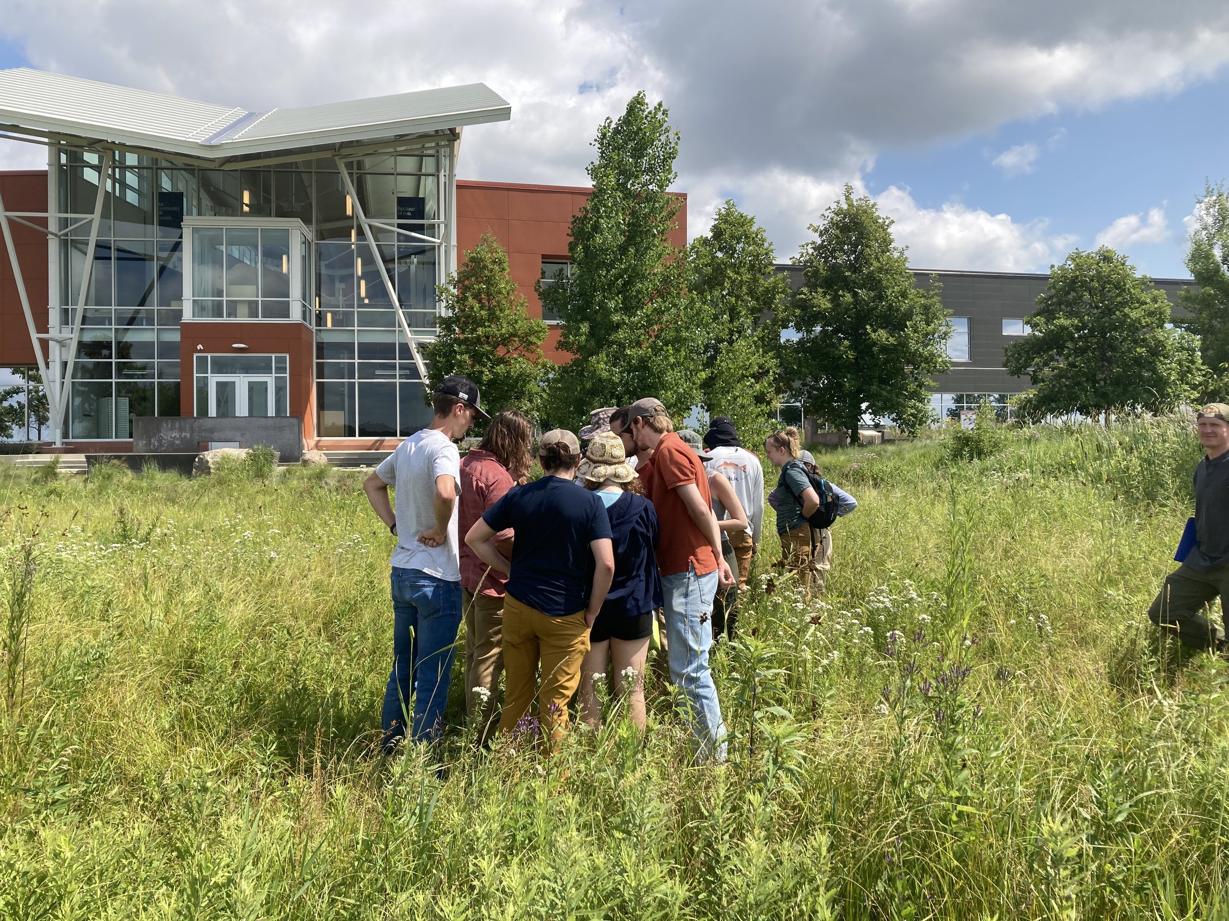
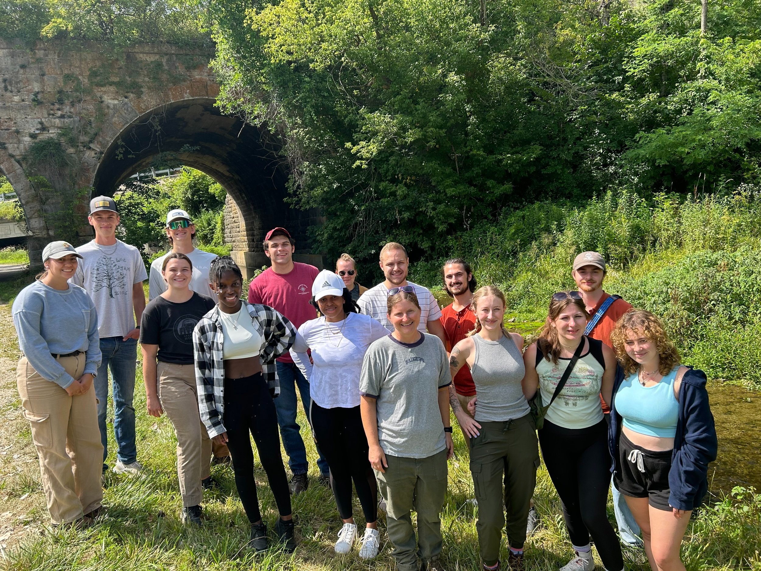
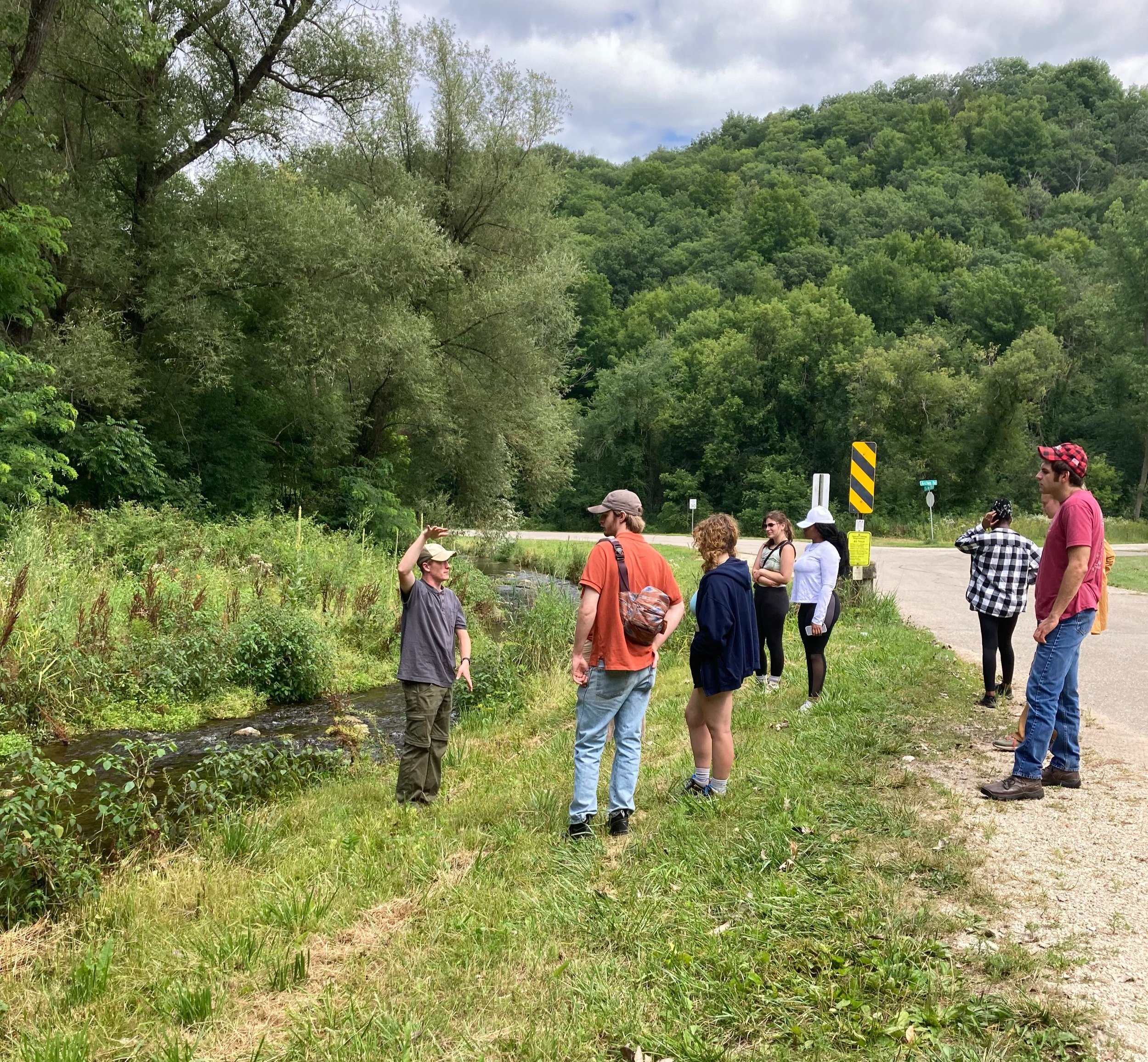
Field day participants: Katie Grover and Avrey Simonsen (technicians); Leo Walter, Brian Berthiaume, Jackson Queen, Danielle Ilunga, Sam King, Clare Culver, Morgan Muhlbauer, Fionn O'Duggan, Carter King, Krystal Baptiste, Tristan Ostrem, Sajida Mirzada, Patrick Derleth, Bailey Rheinheimer, and McKenzie Henkelman (SMUMN and WSU students).
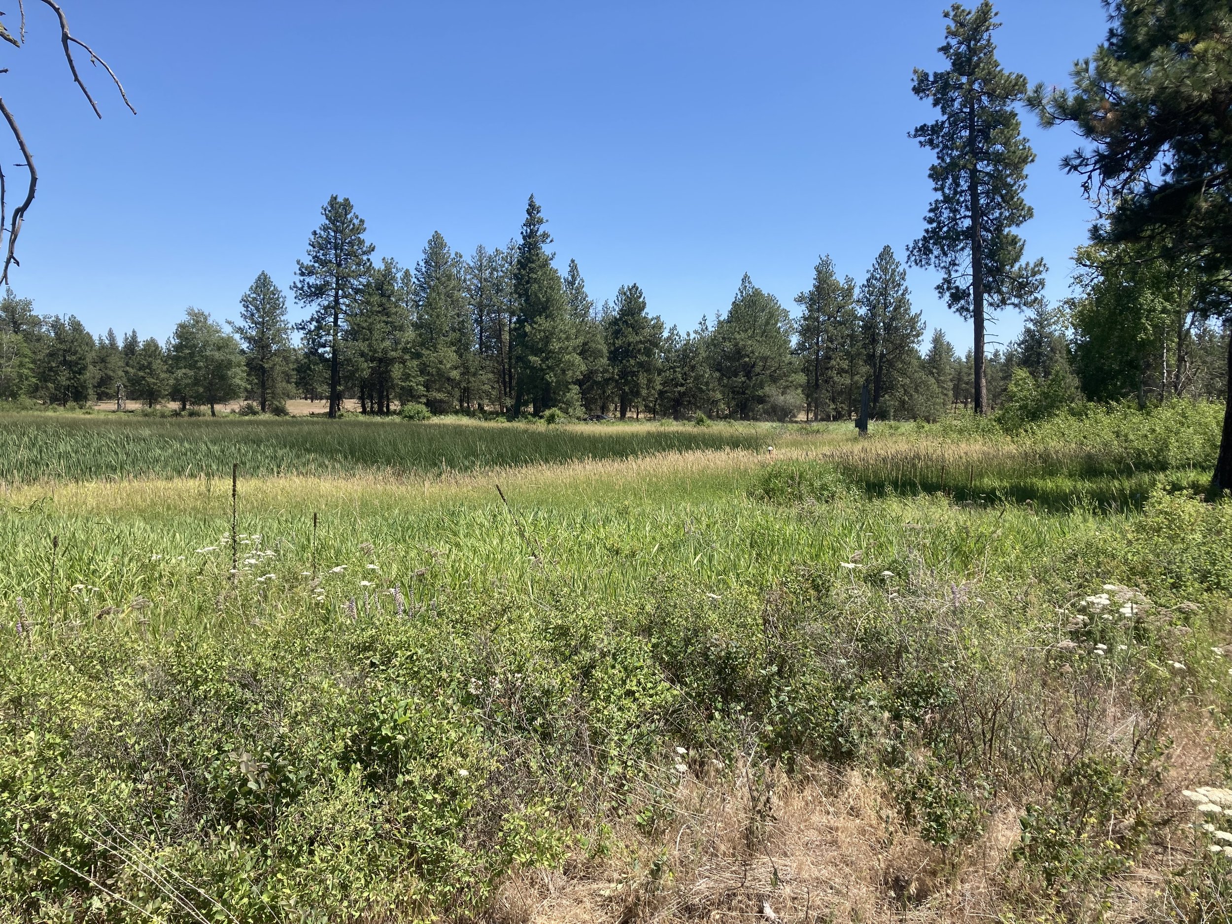
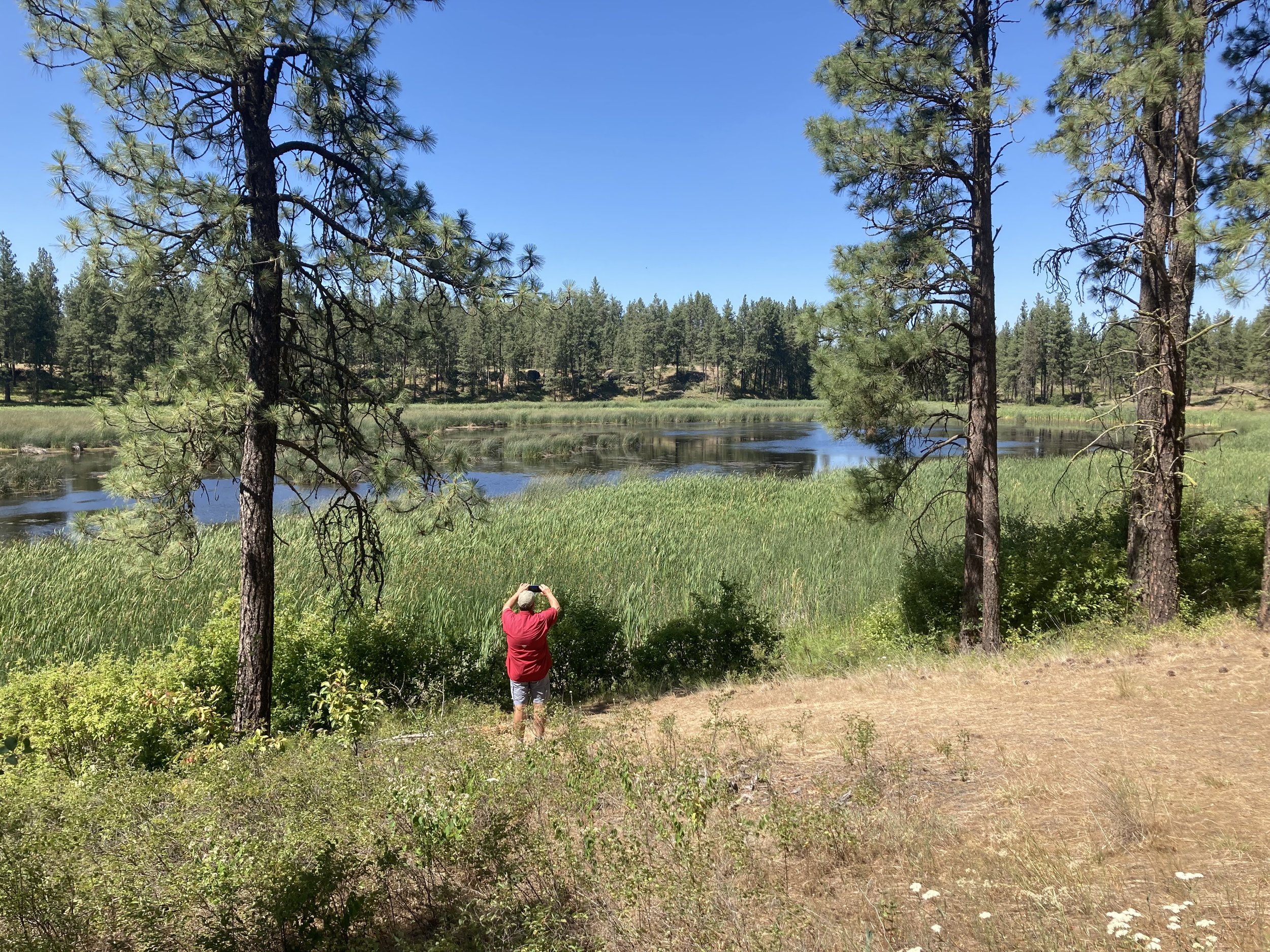
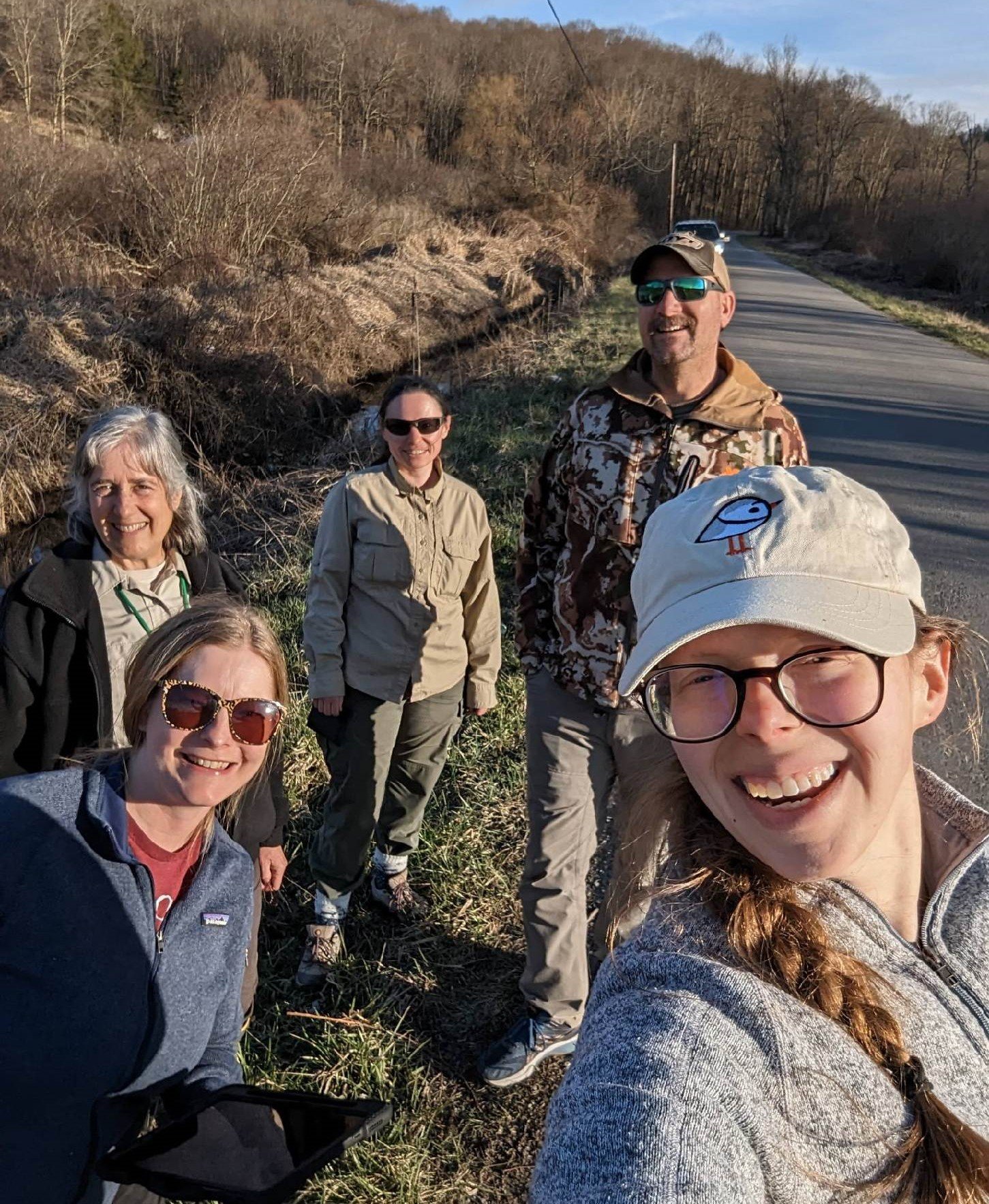
GSS Facilitates Sessions at SWS Annual Meeting
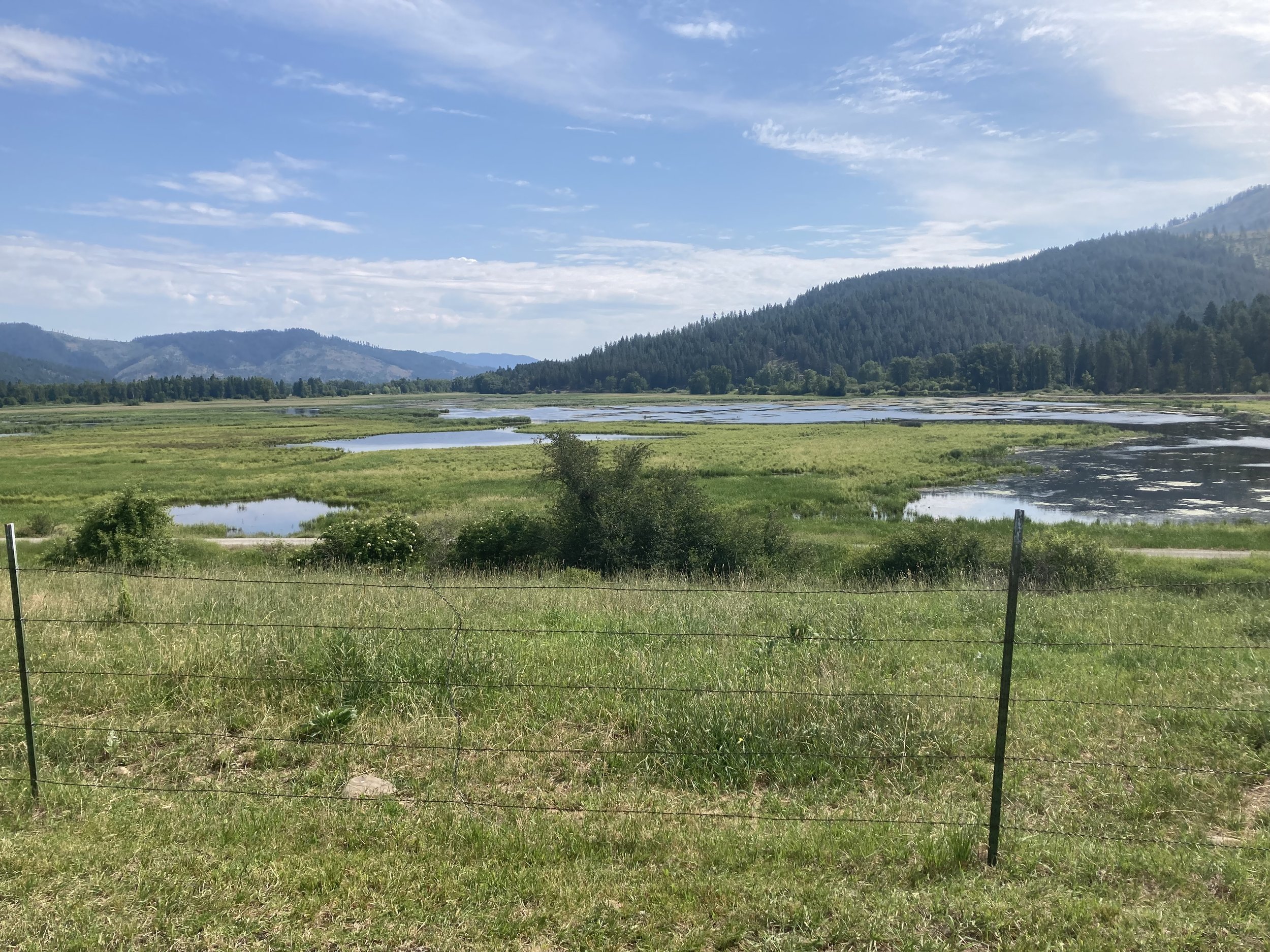
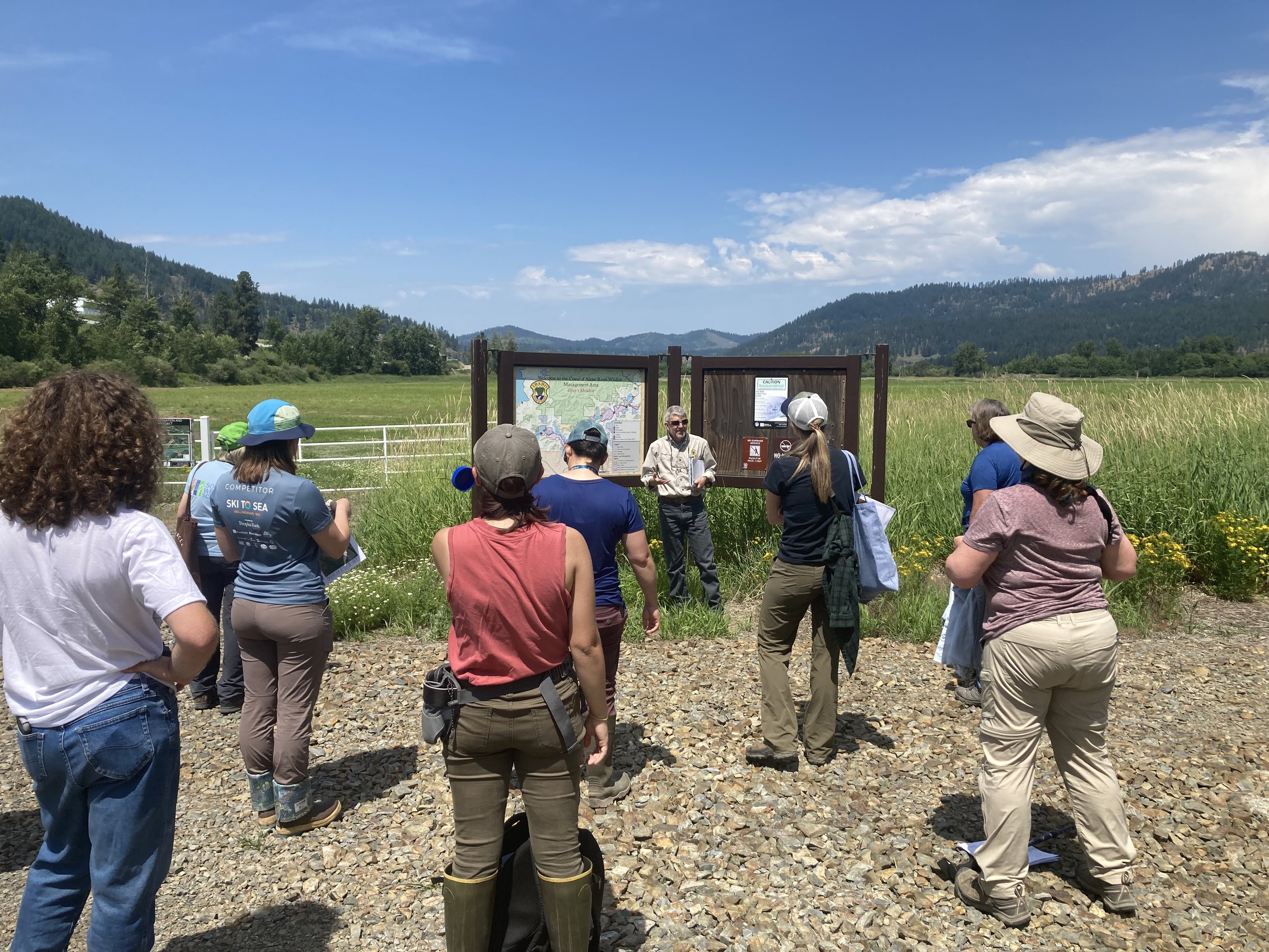
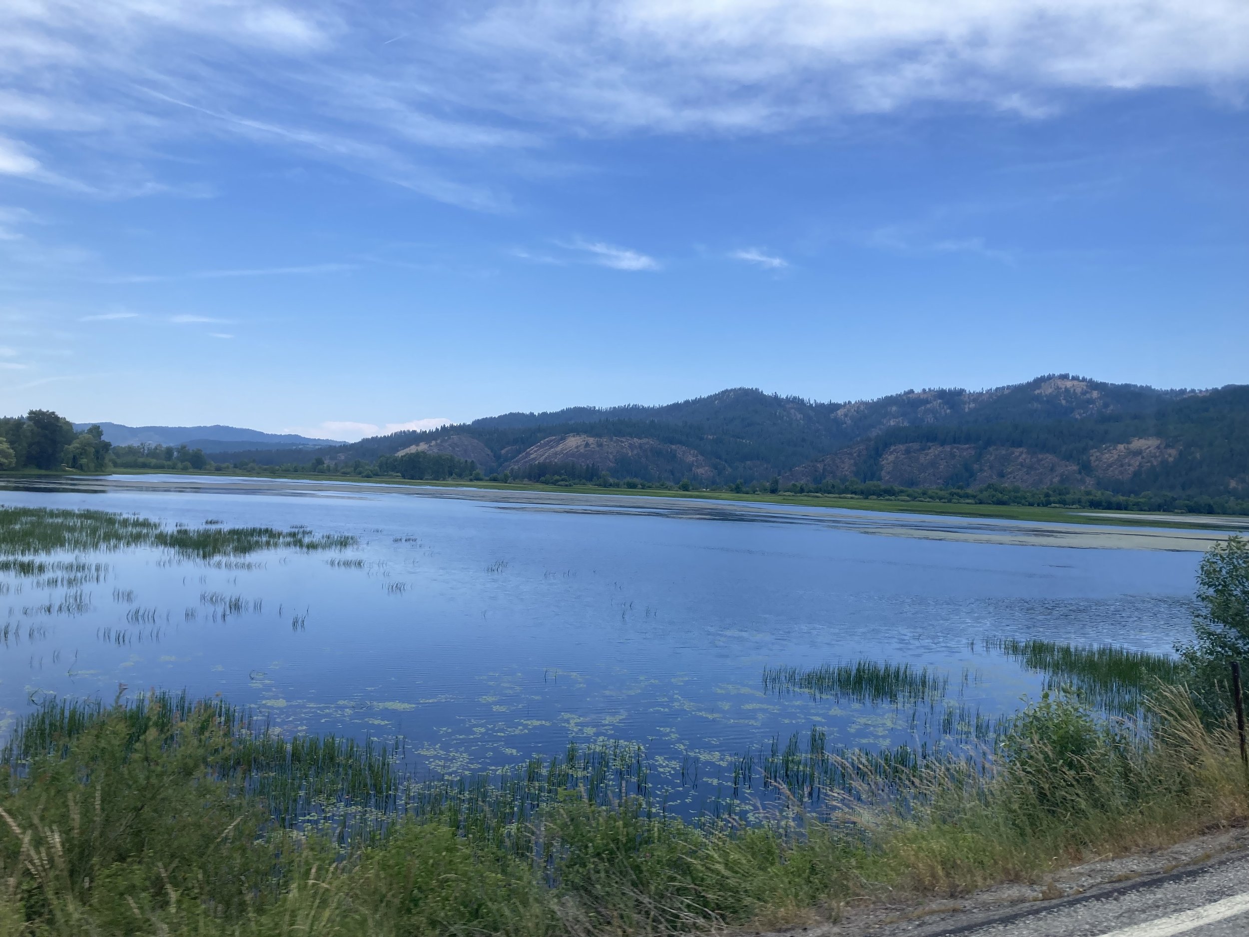
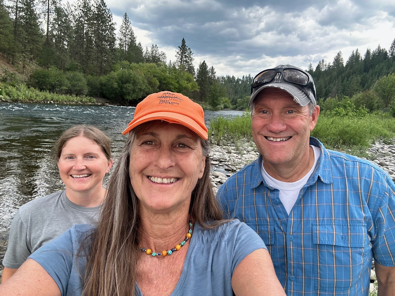
During the last week of June, GSS Director Andy Robertson and Natural Resource Analyst Kathy Allen travelled to Spokane, WA, for the Annual Meeting of the Society for Wetland Scientists (SWS). They partnered with the National Association of Wetland Managers (NAWM) to facilitate a symposium titled, “Passing the Torch: Engaging Tribal Communities and Youth in Wetland Conversation through Education and Activity”. Speakers at the symposium included representatives from the Spokane Tribe and Tulalip Tribes, both of Washington, and the Nez Perce Tribe of Idaho. GSS also partnered with NAWM to host a Tribal Roundtable Forum on sustainable wetland program funding for tribes. While in Spokane, Andy and Kathy also met up with other GSS project partners attending the meeting and visited several interesting wetland areas, including the Coeur d’Alene Basin (in northern Idaho), Turnbull National Wildlife Refuge in the Channeled Scablands, and several points on the Spokane River.
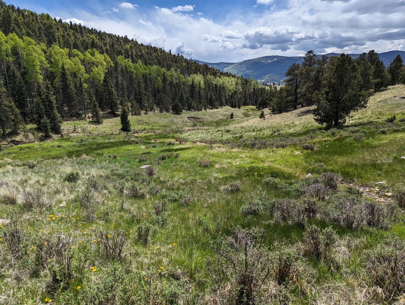
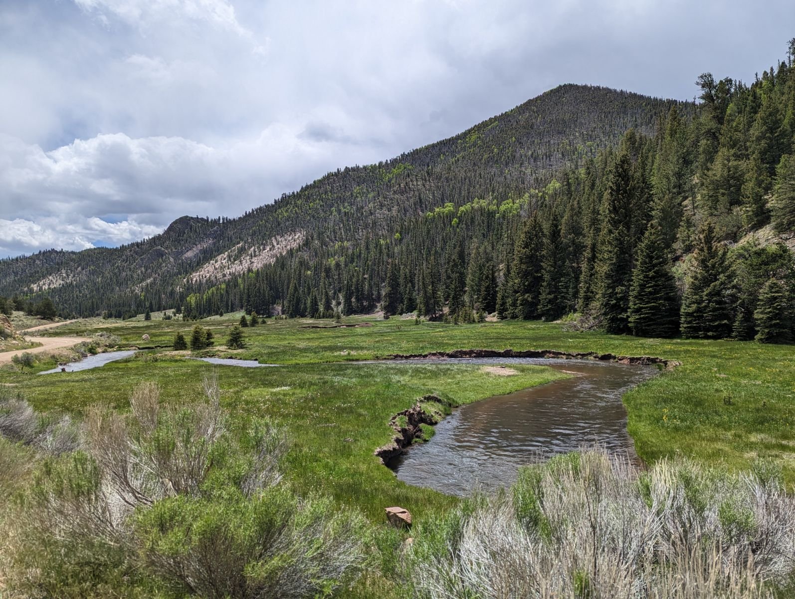
GSS Provides Wetland Training in New Mexico
In mid-June, GSS Executive Director Andy Robertson travelled to New Mexico to provide wetland classification training for three recently-hired New Mexico Environment Department (NMED) staff members. The group met in Santa Fe and visited 45 wetlands throughout the nearby Sangre de Cristo Mountains over the 4-day training. Staff learned about the different types of wetlands in New Mexico, the National Wetland Inventory (NWI) classification system, and using wetland classifications to assess wetland functions.
Knudson presents GSS work
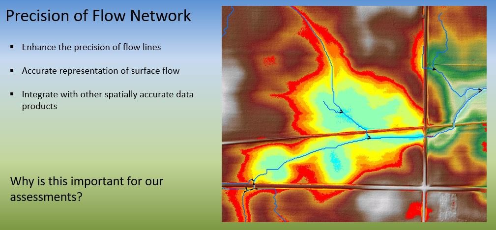
GIS Analyst Mike Knudson recently gave two presentations on behalf of GSS, at the Southeastern MN GIS Users Group’s summer meeting and on a National Association of Wetland Managers’ (NAWM) tribal wetland webinar. The GIS Users Group meeting was held on SMUMN’s Rochester Campus on June 1. Mike spoke about hydrologic conditioning, the modification of a bare earth Digital Elevation Model (DEM) through an iterative GIS processing method to better represent the movement of surface water within a watershed. The purpose of hydro-conditioning is to create a contiguous surface that accurately models flow across the landscape. These products are the basis for applications like the Agricultural Conservation Planning Framework (ACPF) or Prioritize, Target, and Measure Application (PTMApp) used to leverage geospatial data to inform watershed management.
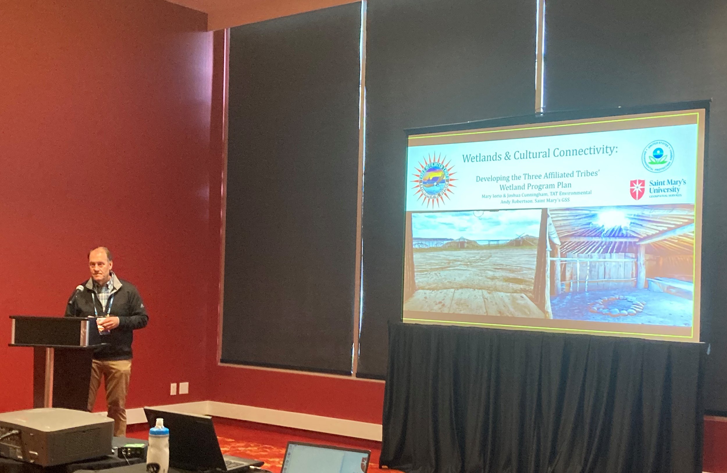
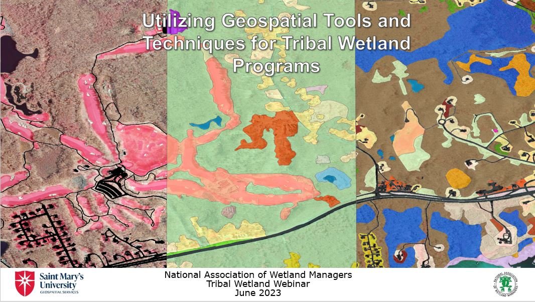
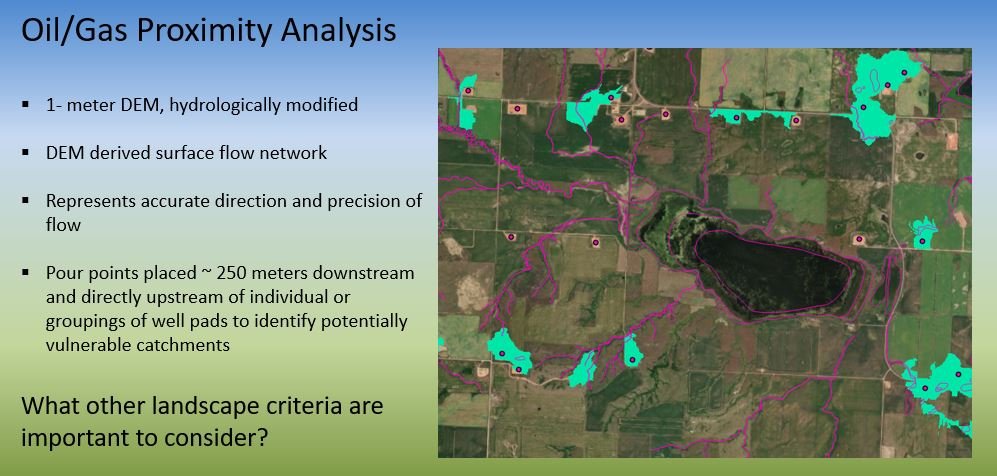
On June 16, Mike was one of three presenters at NAWM’s webinar, “Geospatial Mapping Tools and Techniques for Tribal Wetland Programs”. His presentation focused on the GIS mapping and analysis work GSS has done with native community partners, particularly the Three Affiliated Tribes (TAT) of the Fort Berthold Reservation. For TAT, the GSS team used GIS modeling to identify oil/gas well pads and wetlands vulnerable to oil & gas development, as well as developing a wetland rapid assessment method to evaluate wetland functions. This webinar was the sixth in a series of eight tribal wetland program webinars being co-hosted by NAWM and SMUMN GSS, with grant funding from the U.S. Environmental Protection Agency (EPA).
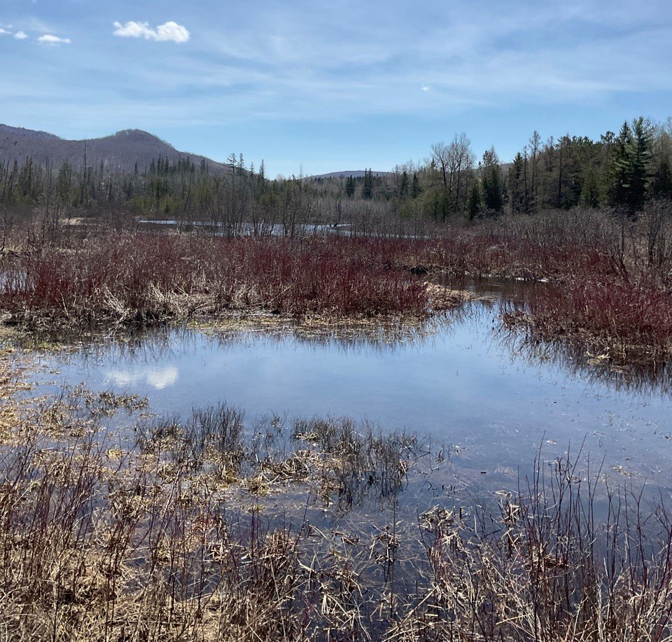
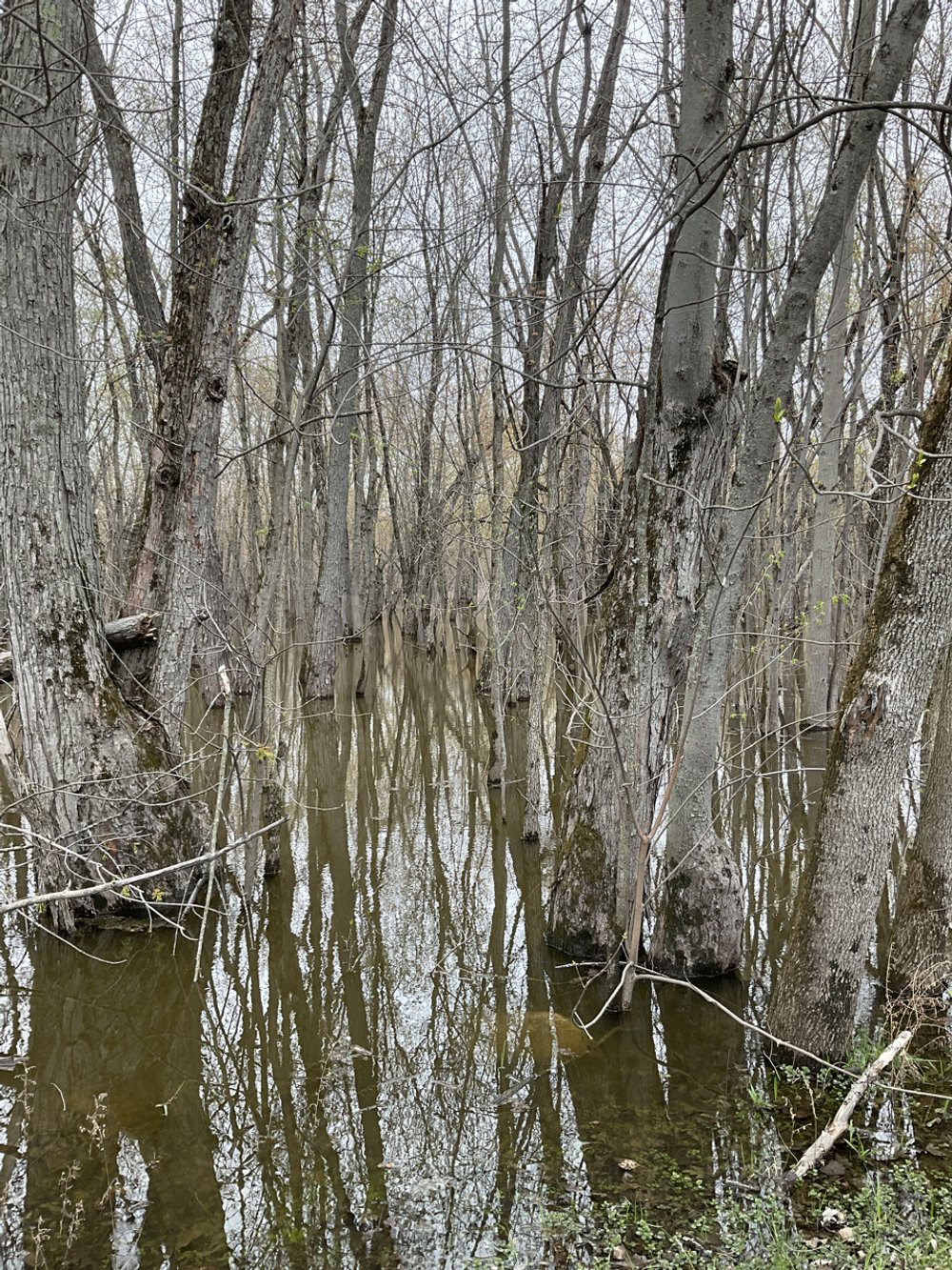
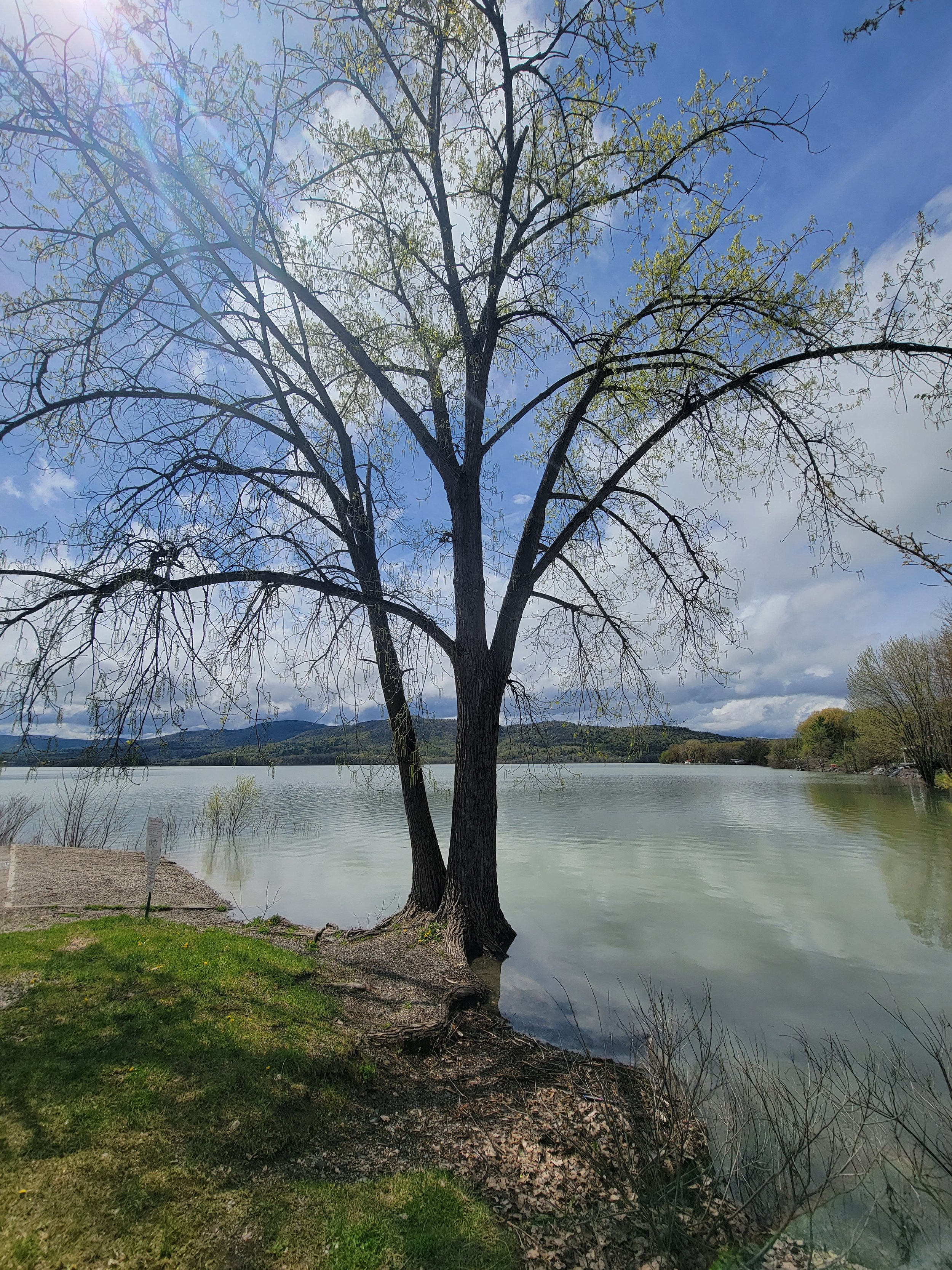
Visiting Vermont
In late April/early May, GSS staff Kevin Stark, Katie Engelmann, and Zack Ansell spent 7 days conducting wetland field work throughout Vermont. Their travels took them to the Connecticut River Basin in the east, the Lake Champlain Basin in the northwest, and a small part of the Hudson River Basin in the southwest corner. The eastern and western basins are divided by the Green Mountains, which run north-to-south through the state. The GSS team was joined in the field by staff from the Vermont Department of Environmental Conservation and the NWI regional coordinator. Together, they were able to observe a wide variety of wetlands from saturated, sloped wetlands in agricultural settings, bogs, black ash swamps, to semi-permanently flooded buttonbush shrub wetlands.
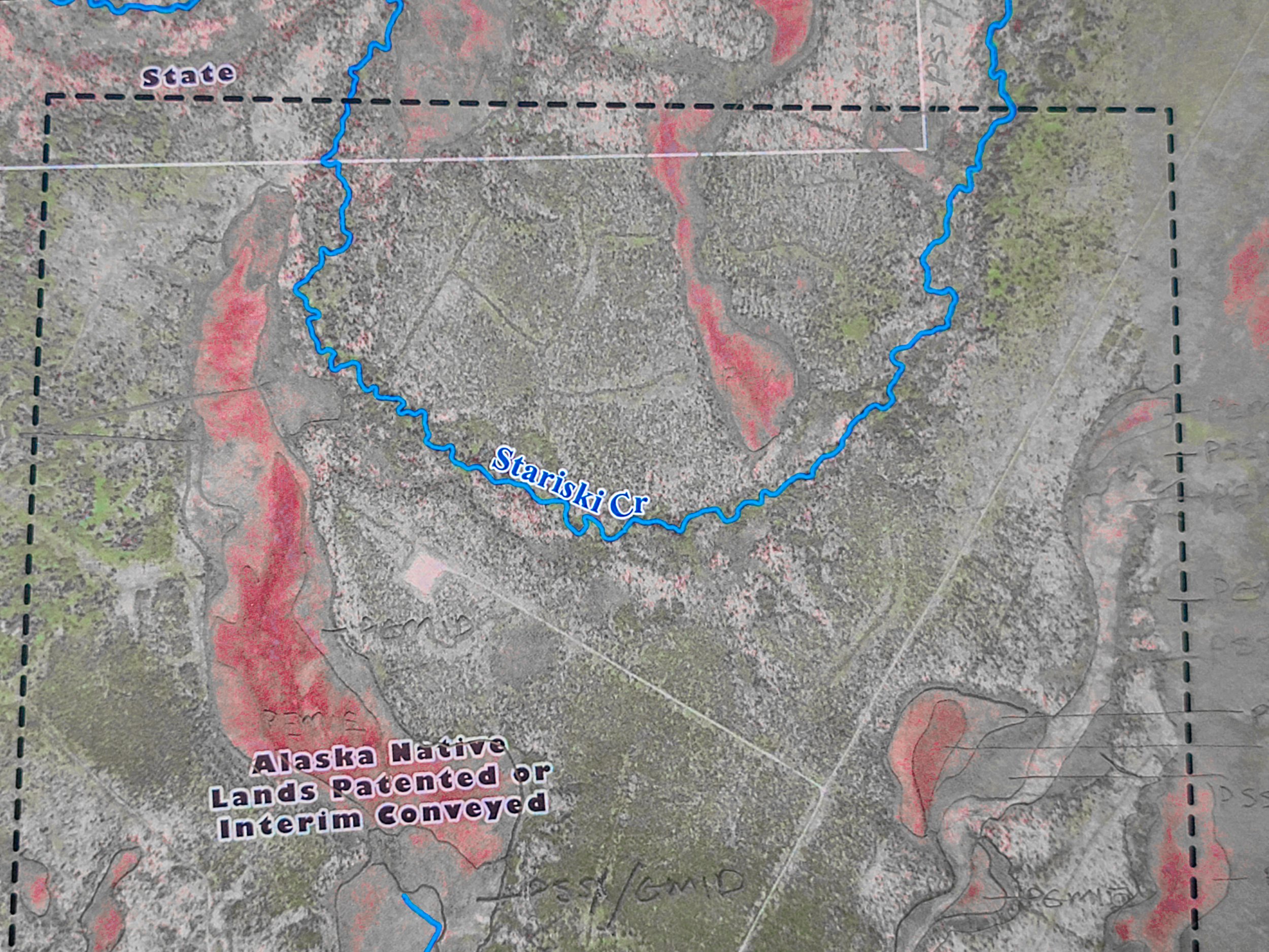
Knopf Presents to Alaska Science Symposium
On April 21, Jeff Knopf presented to the Kenai Peninsula Fish Habitat Science Symposium on using GIS data for environmental decision making on Alaska’s Kenai Peninsula. The watersheds on the peninsula are vital not only to sustaining ecological processes on the landscape and supporting local biodiversity, but also to local, regional and world economic development and regional culture. As a premier fishing destination, it is imperative to protect and enhance the native fisheries and aquatic resources of the Peninsula. Studies have identified pollution as a threat to these aquatic resources, particularly, heavy metal pollution that flows off of impervious surfaces. In recent decades, changes in the natural landscape and the extent of human development have altered the region's hydrography. Jeff played a key role in updating and creating data to reflect these changes, to better inform planning and management decisions by stakeholders, especially those related to the potential impacts of present-day anthropogenic activities.
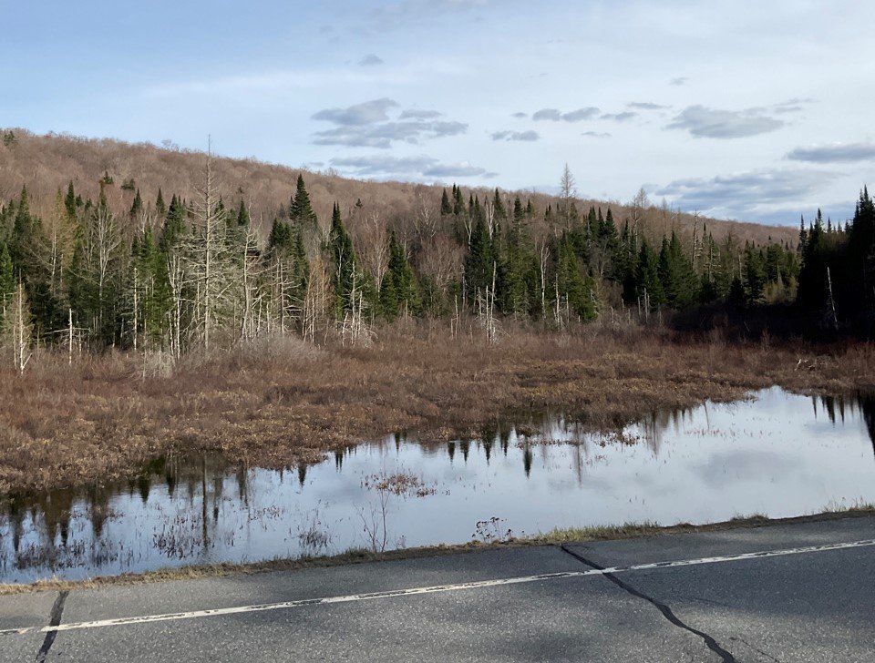
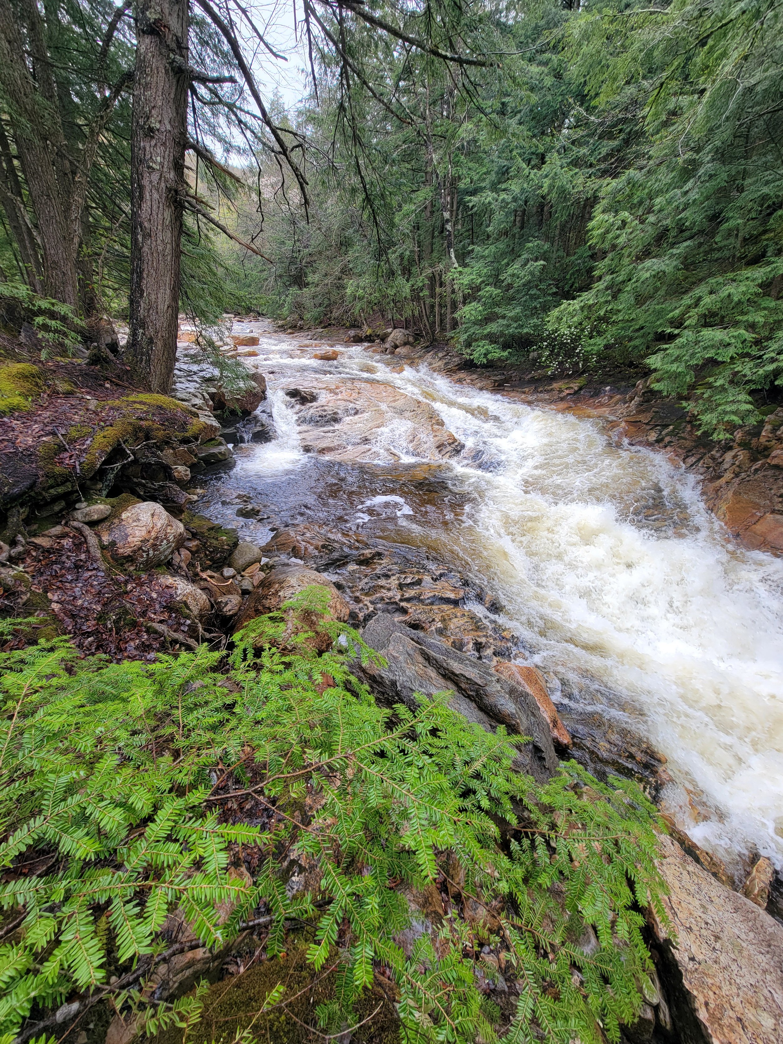
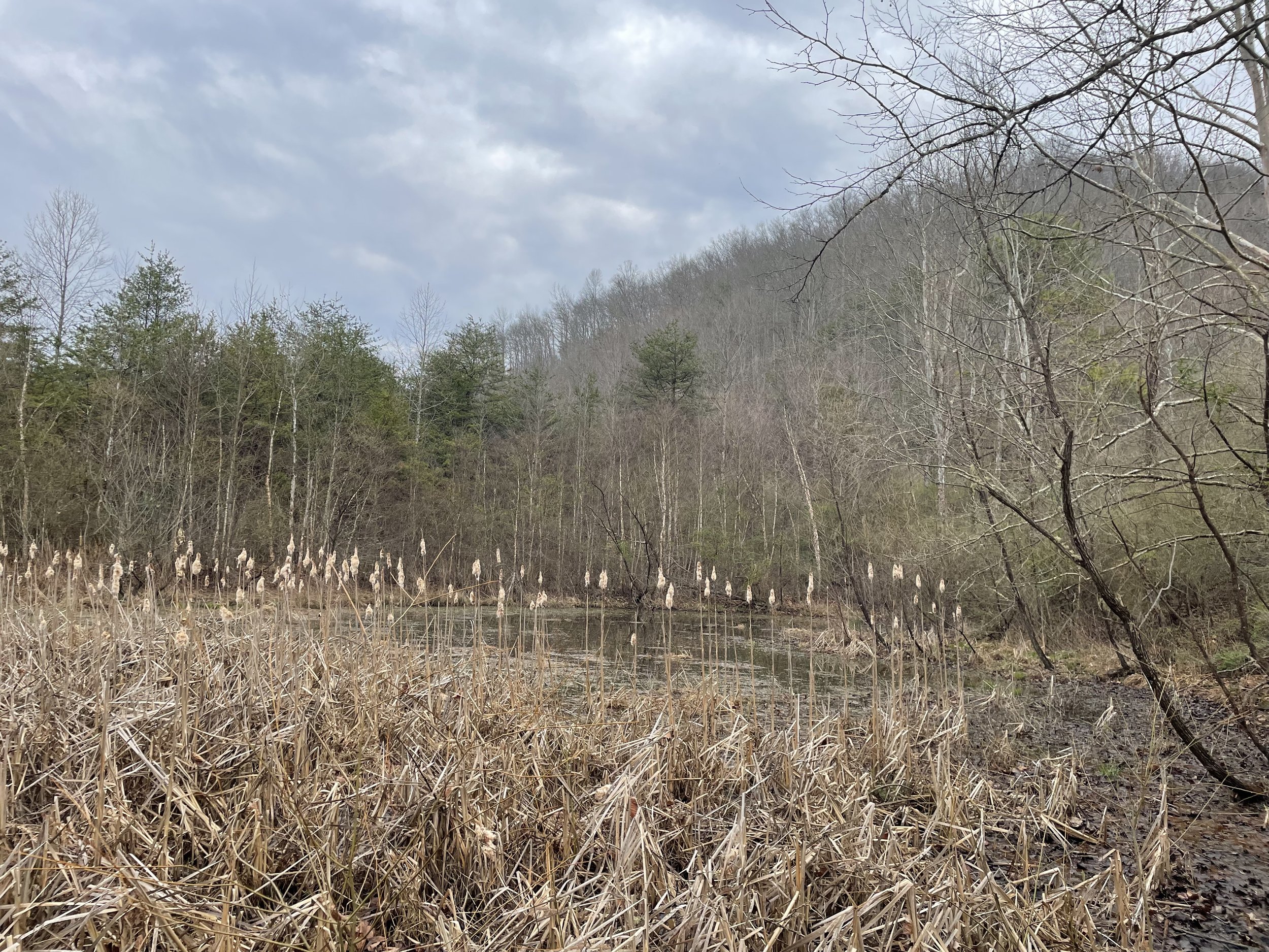
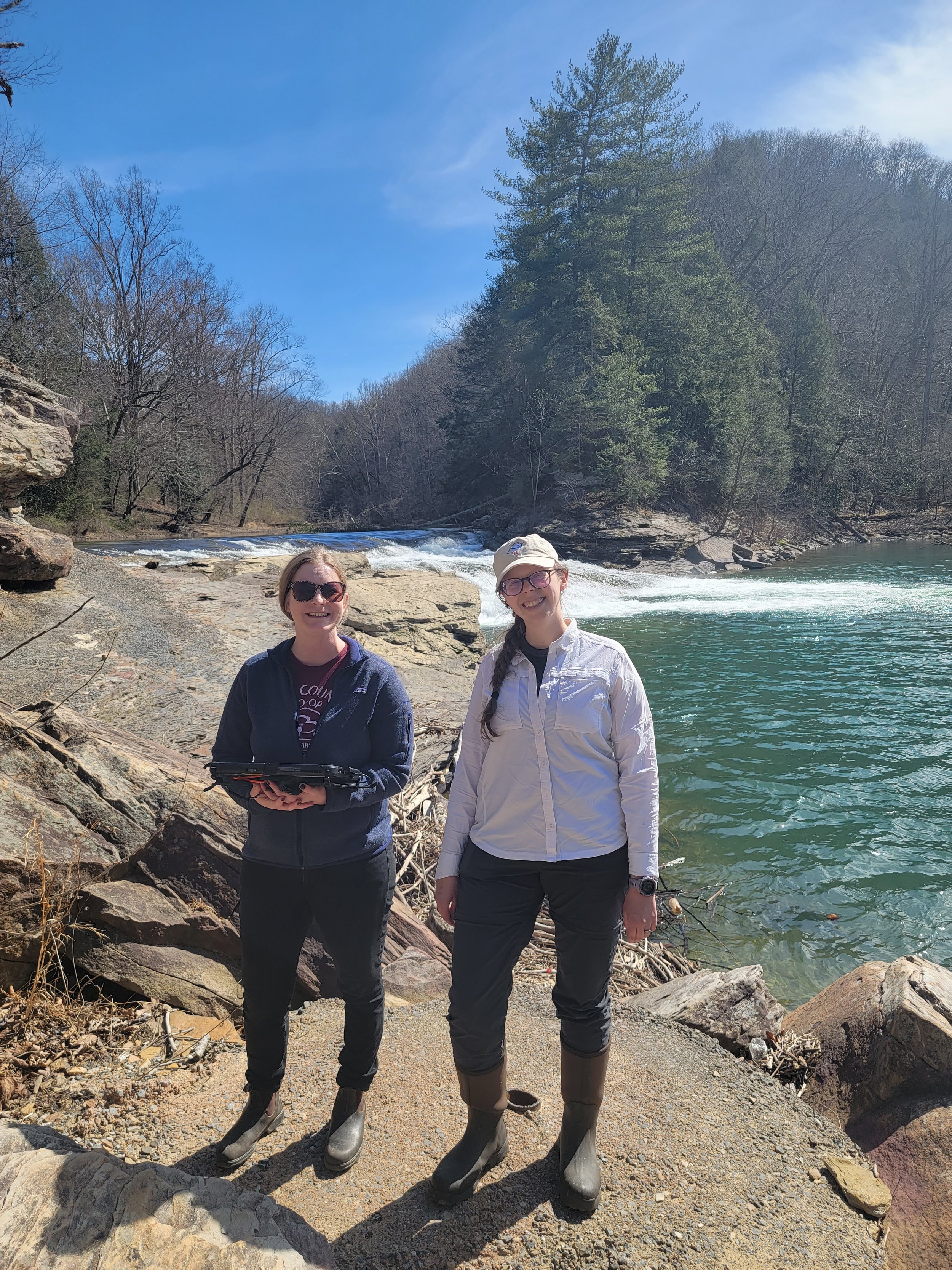
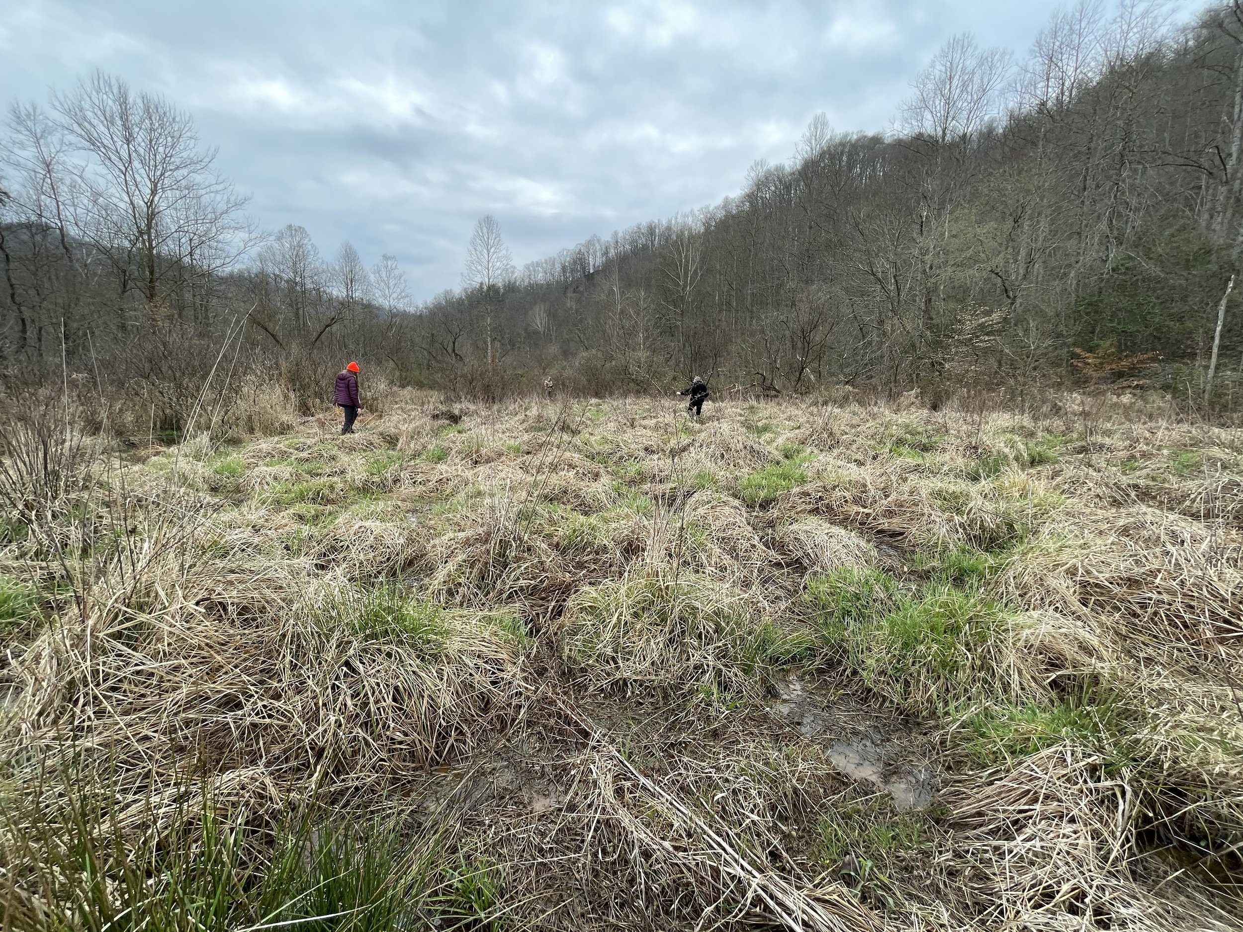
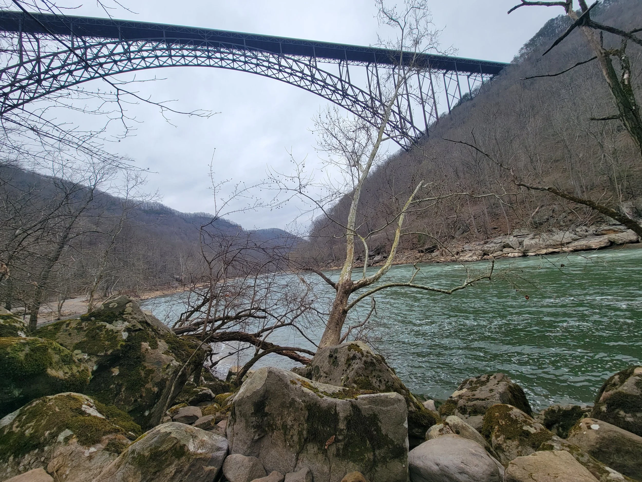
Spring Travel to West Virginia
From March 20-24, Kevin Stark and Katie Engelmann traveled to West Virginia for a wetland field verification trip with staff from the state’s Department of Environmental Protection. Wetland mapping in all but eight counties within the state has not been updated in 40-55 years. These updates are needed to assist state agencies and the public in understanding, monitoring, and regulating the state’s aquatic resources. GSS staff and student interns started digitally mapping wetlands in 2022 and will wrap up the project later this year. The trip focused in the southwest area of West Virginia, on the edges of the Appalachian Mountains with its many valleys and winding rivers. It included a stop at one of the country’s newest National Parks at New River Gorge, which was “upgraded” from its National River designation in December 2020. During the week, Kevin and Katie also met with the U.S. Fish and Wildlife Service’s National Wetland Inventory (NWI) coordinator for the Northeast region.
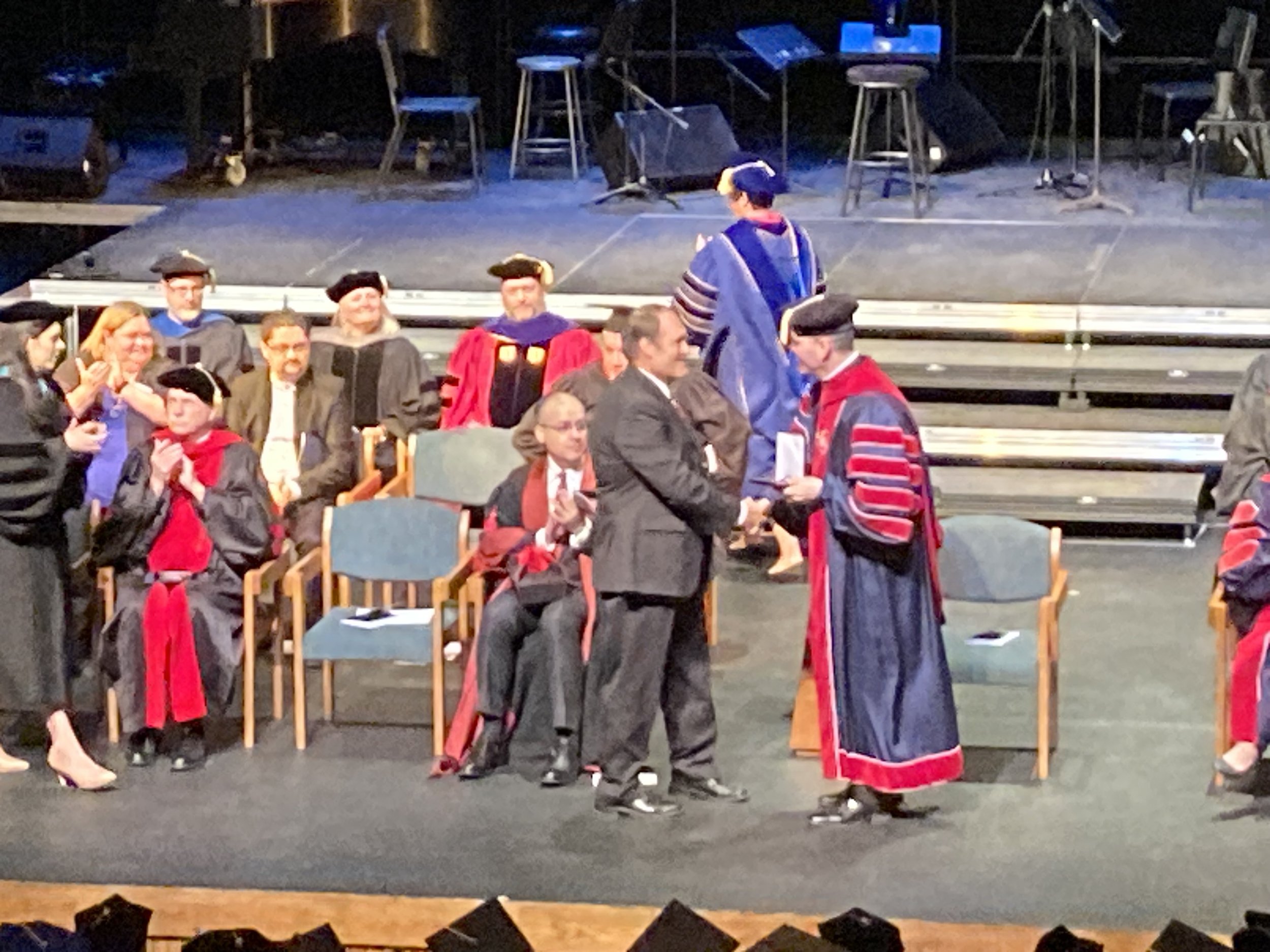
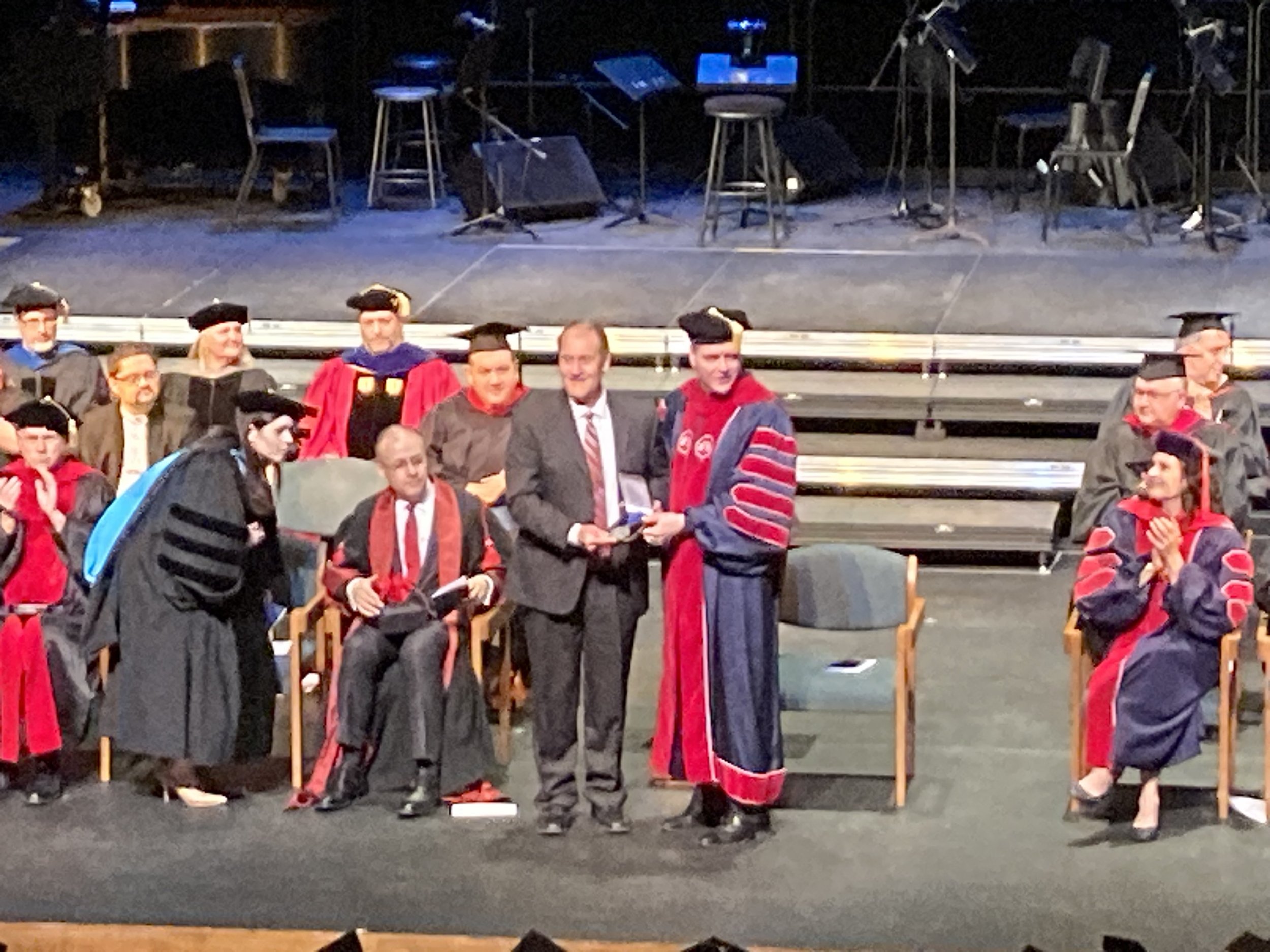
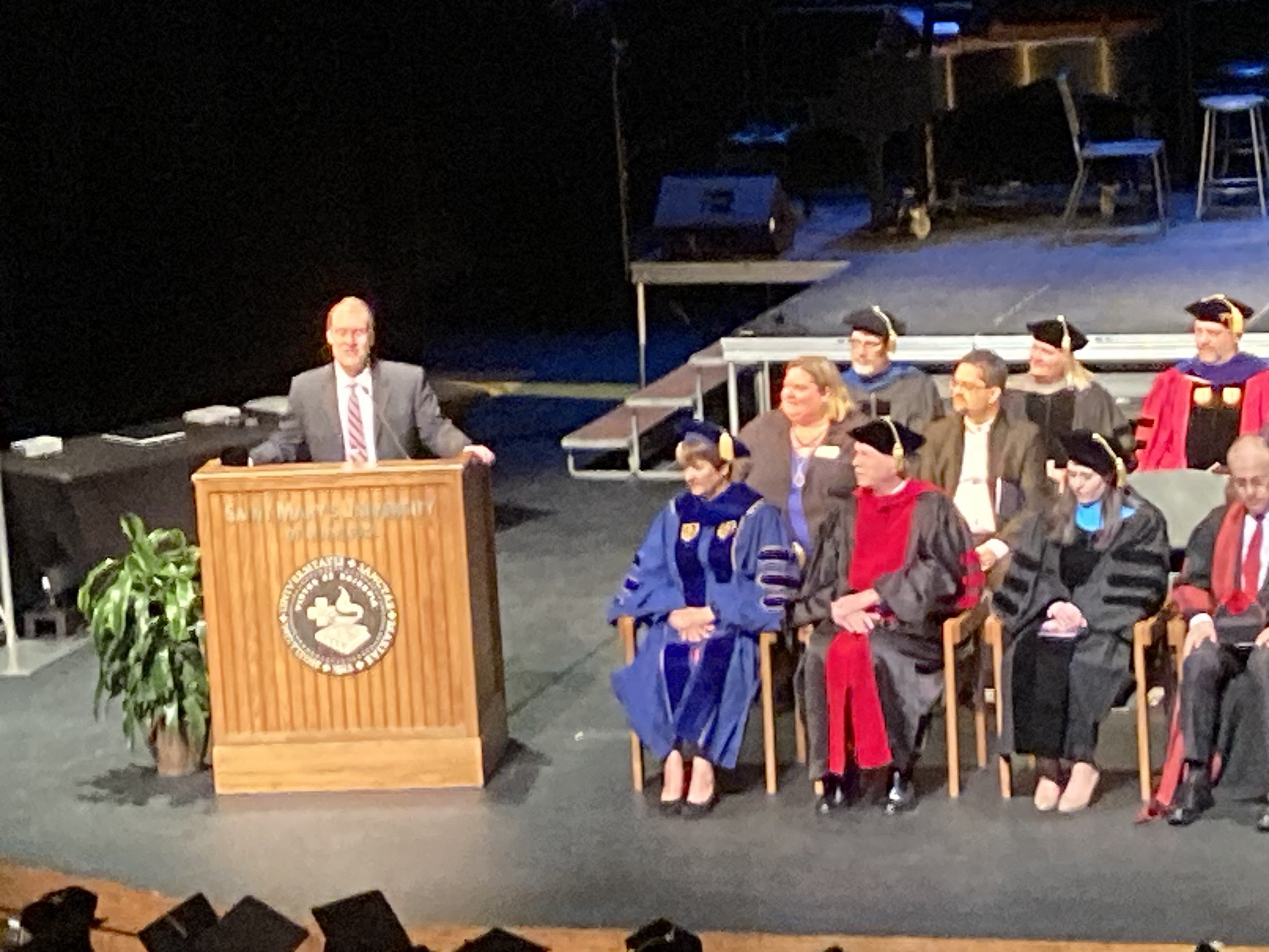
GSS Director Receives University Award
Andy Robertson, Executive Director of GeoSpatial Services, was honored today with the University’s Distinguished Lasallian Educator Award. This annual award recognizes a member of the faculty, staff, or administration for their contributions and commitment to the Lasallian mission of education. Andy has led the expansion of GSS to uniquely engage Saint Mary’s students in serving the needs of federal agencies, tribal nations, and nonprofit organizations in the areas of land management and water conservation. Similar to Saint John Baptist de La Salle’s first schools in 17th century France, GSS engages education to respond to community needs at this particular time in history. The award was presented at the University’s Founder’s Day Convocation. Congratulations, Andy!