

NEWS
GSS SPOTLIGHT!
SHAUNA FRAHM
What is your education and professional background?
Before starting at Saint Mary’s, I took a few community college general education classes. This allowed me to jump right into the core curriculum of my original intended major- music industry. Not wishing to be a starving artist, I switched to a management major with a music minor. Now that I’ve completed my bachelor’s degree, I still don’t really know what I want to do with myself- so I decided to jump into a new degree! Currently, I have completed half of my MBA/Project Management Specialization courses.

What led you to GIS? More specifically, how did you get to Saint Mary's University of Minnesota (SMUMN) in Winona?
I grew up in Dodge, Wisconsin, Just “over the river and through the woods” to Saint Mary’s University, so the school had always been in the back of my mind. Attending was a bit of a last minute decision- I finished high school a year early and hadn’t applied to anywhere until May of high school graduation. SMU accepted my application, and with just over a month remaining until classes started, I enrolled. It wasn’t until my senior year at Saint Mary’s that I heard about GSS through an email- some company was looking for student workers. It was no “ah-ha!” moment for me, more like a “why not give it a try?” I had briefly learned about geographic information systems as they relate to business functions- so my curiosity got the better of me and I sent in an application. I guess the rest is history.
Explain briefly a project at GSS you've done that contributed to your overall knowledge and educational experience.
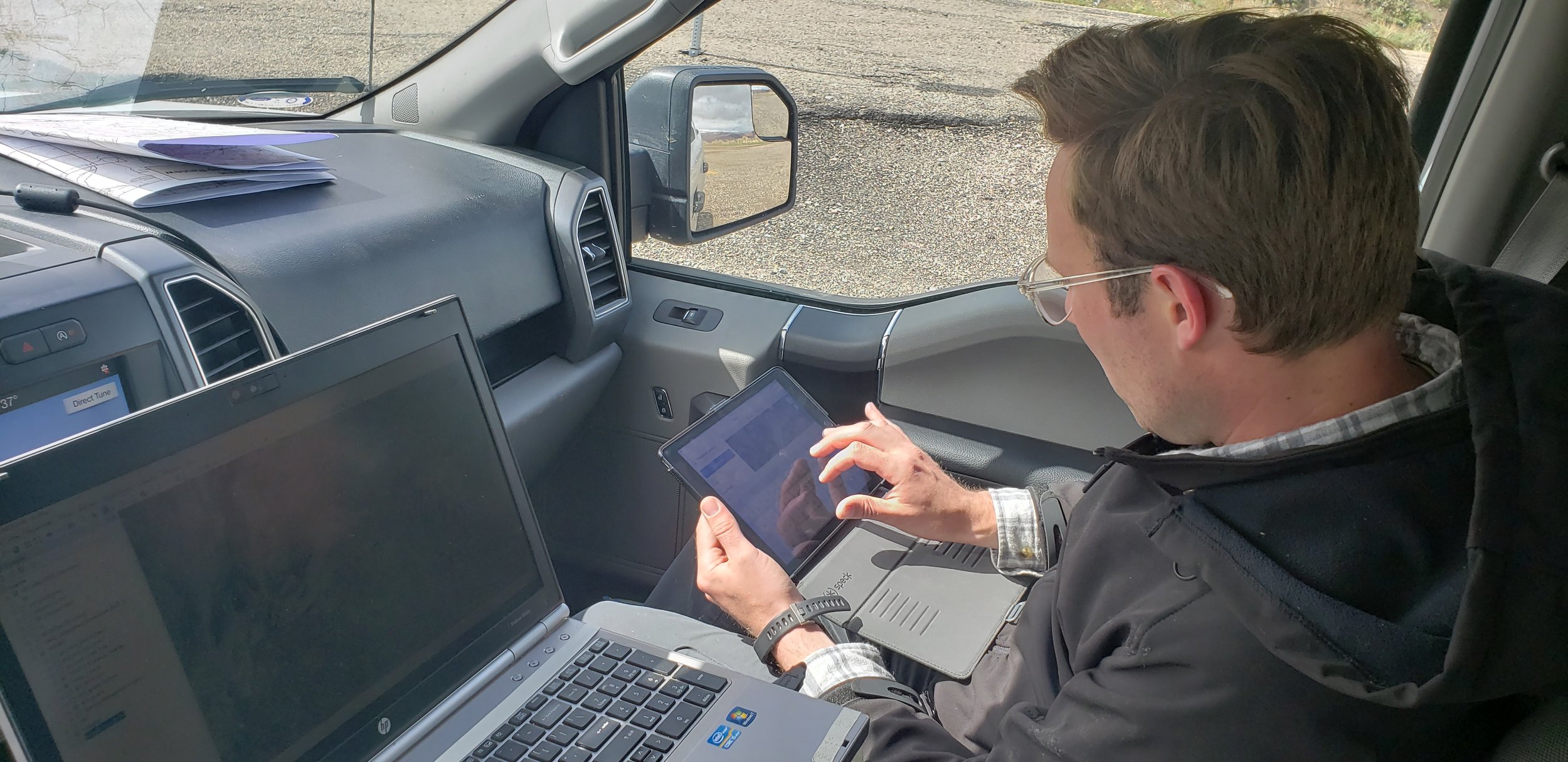
The main project I have been working on is the Wyoming Bureau of Land Management contract. With no real experience prior to this, it was a lot of information to take on. Then when my higher-ups approached me and asked if I wanted to help lead a team of summer workers, I said yes. The biggest learning factor for me was going from being the person asking all the questions to being the person who is supposed to answer the questions. When people are depending on you for answers, you learn the answers a lot faster… or in my case, get a lot better at asking others for help. It’s been a great experience learning something totally new.
How do you see GIS fitting into your future?
GIS is a very powerful project management tool. Beyond just a topographical application, GIS can be used to scope out essential criteria for business strategic locations. Finding the right area based on demographic information such as income, education, population, proximity to resource suppliers, and so many other criteria can be achieved in a timely manner using GIS tools. Hopefully one day I can be the person with the knowledge and authority to make such business decisions.
Where can we find you outside of GSS?
Outside of GSS or the quiet study areas used for homework completion, there’s no safe bet where you will find me. I'm rather spontaneous and enjoy making crazy last minute plans. I like to try/do a bit of everything. I do enjoy traveling, hiking, gardening, hunting, skating, and rocking out to 5FDP or A7X in my car. Besides for the last of that list, I’m pretty much trying or doing something new every weekend. Ever been skydiving? Me neither, but that’s next on the list!
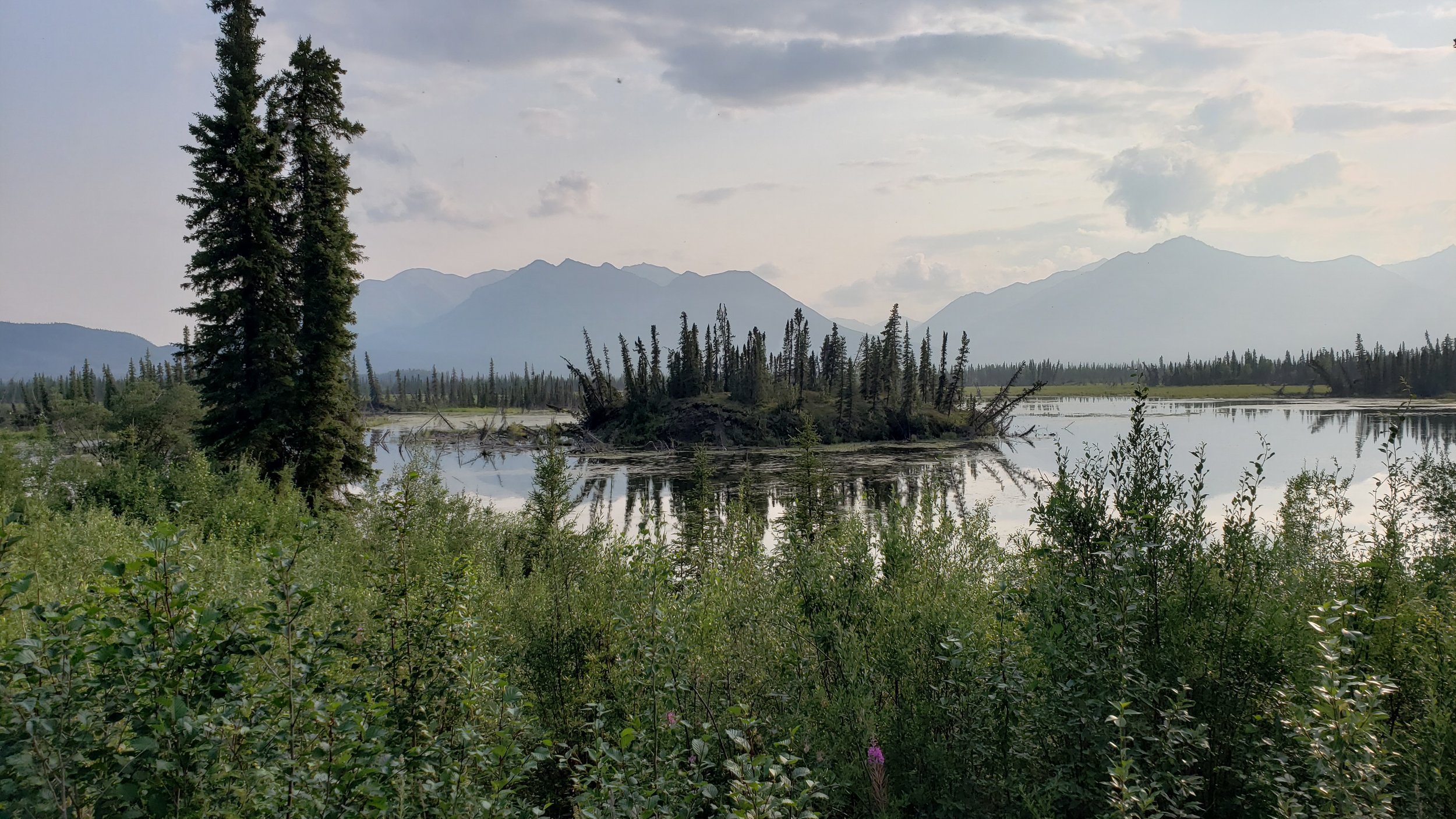
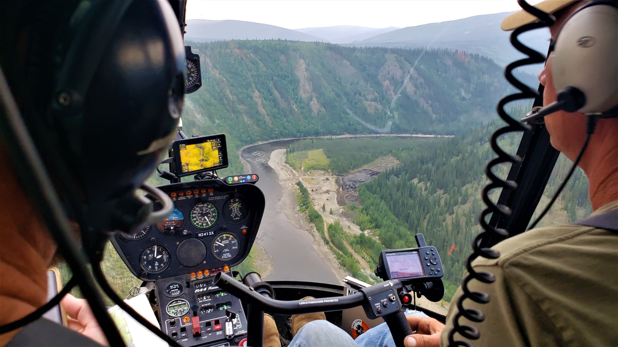
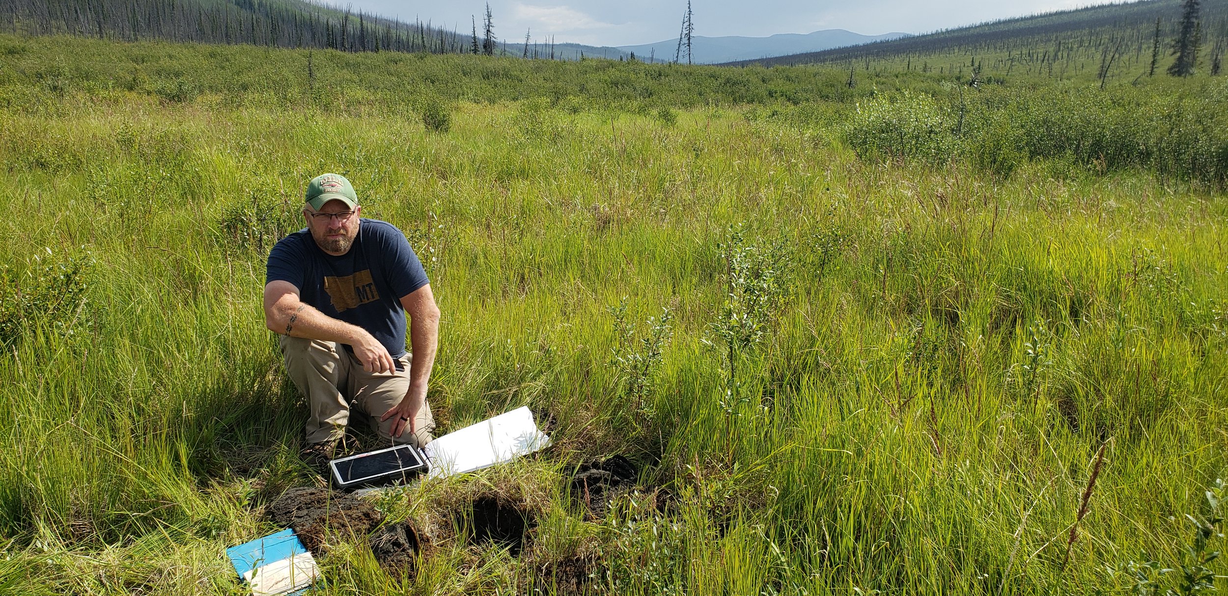
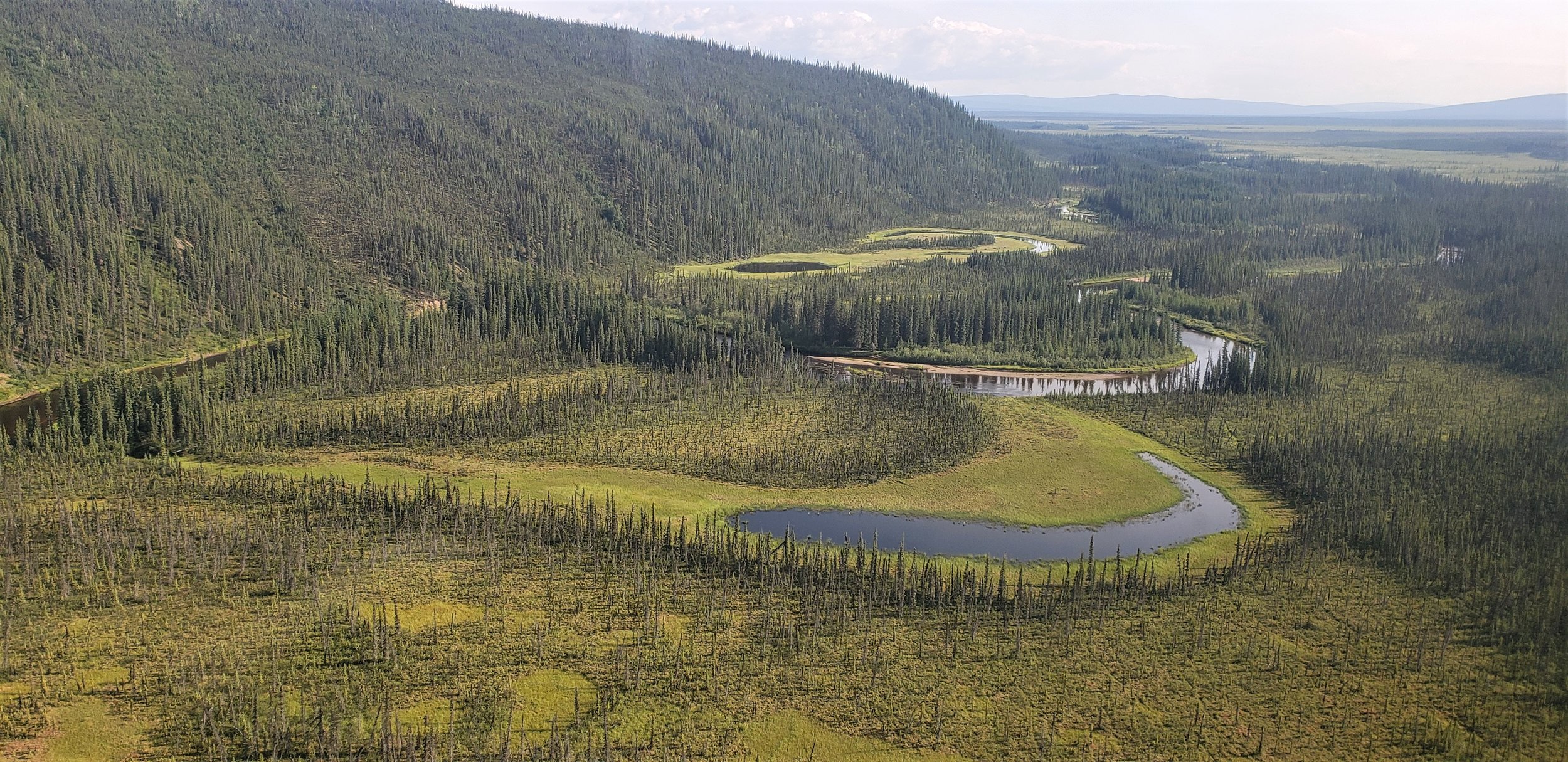
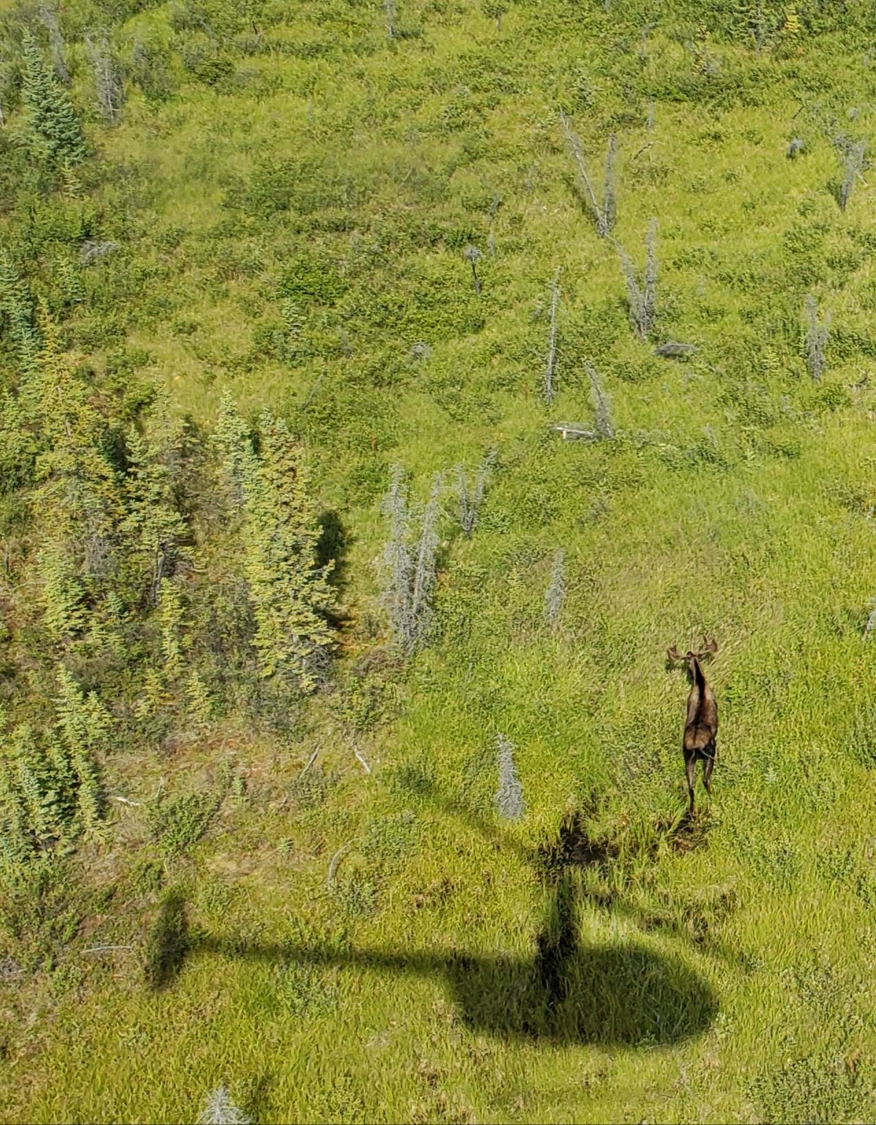
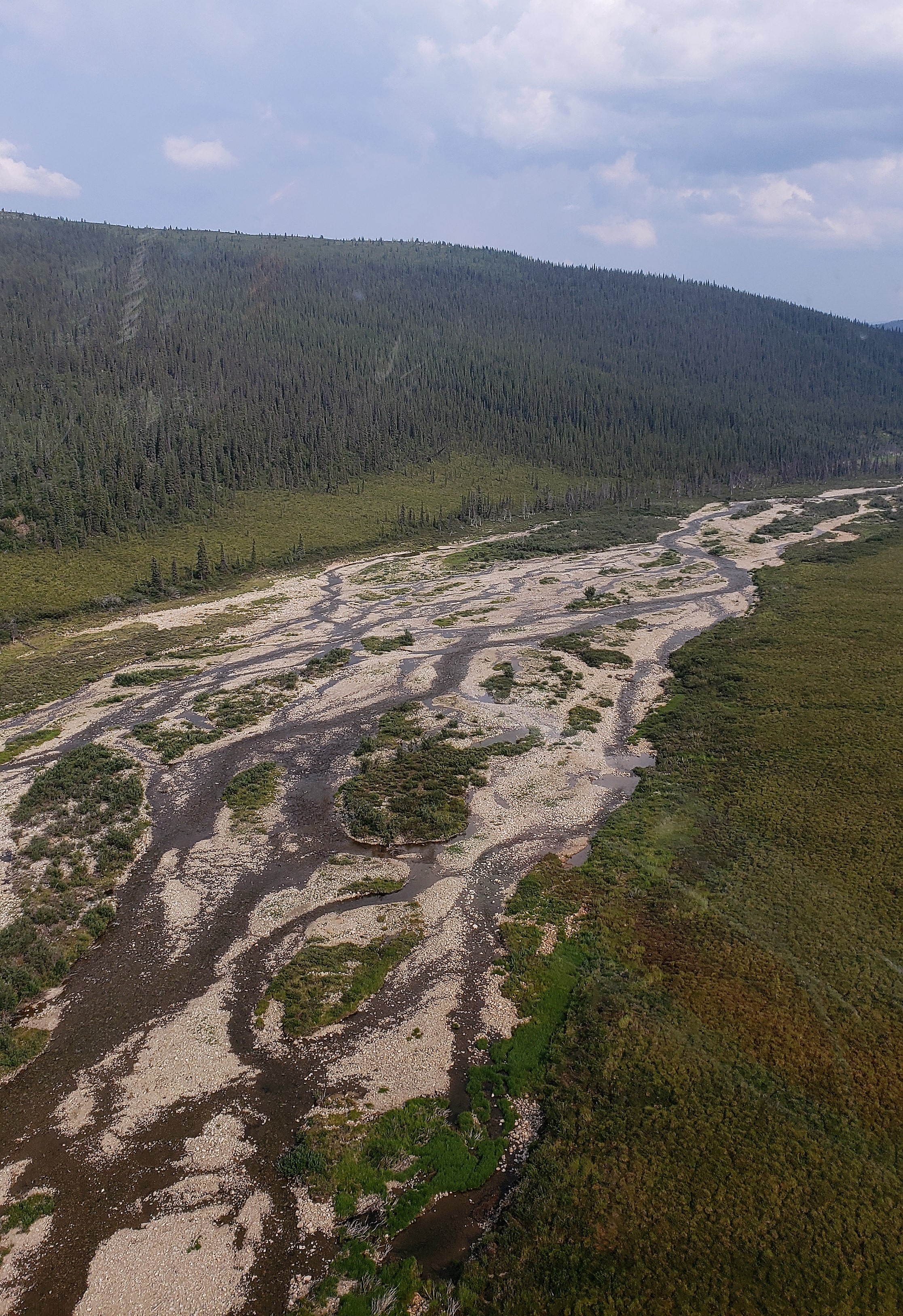
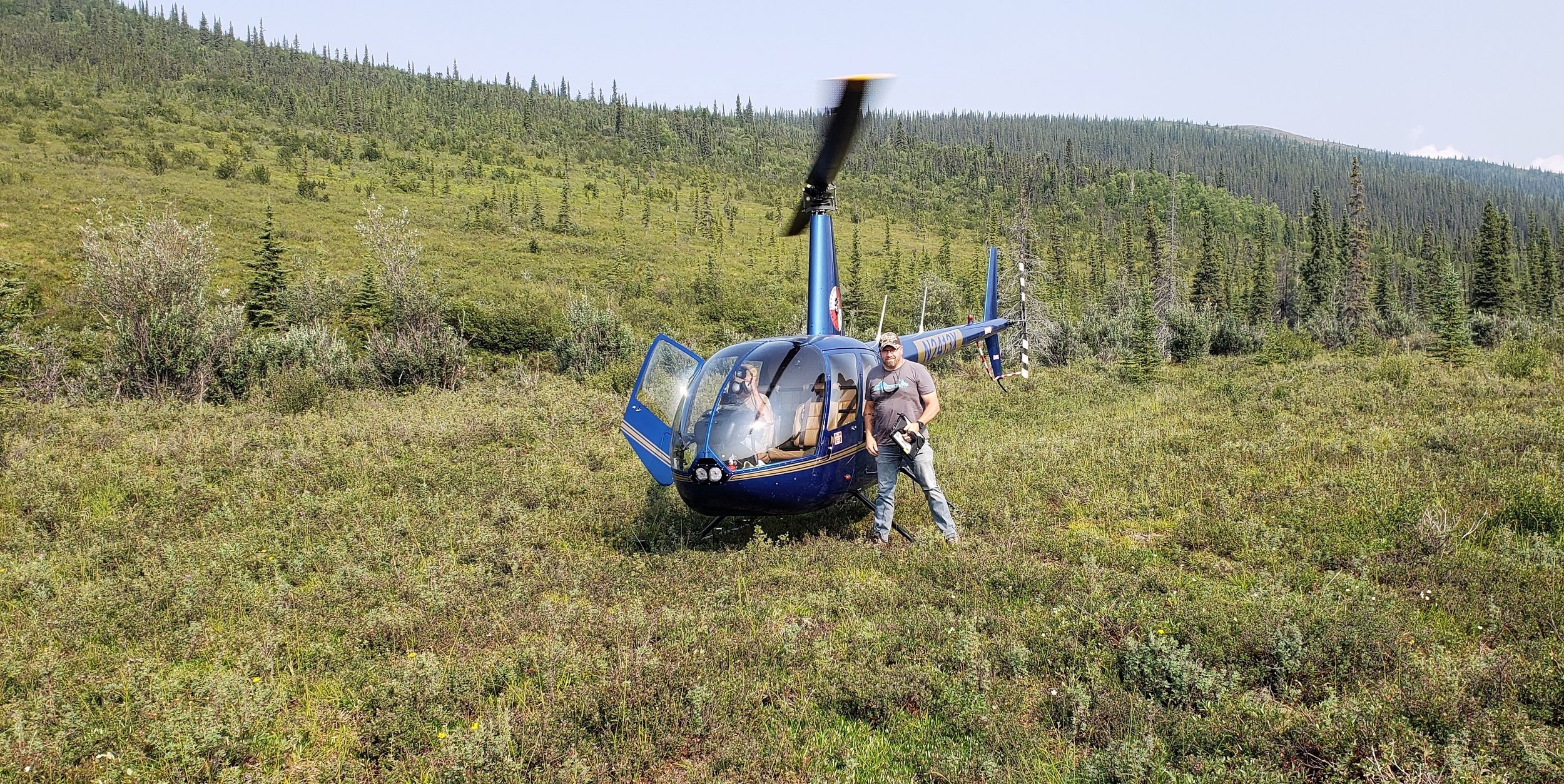
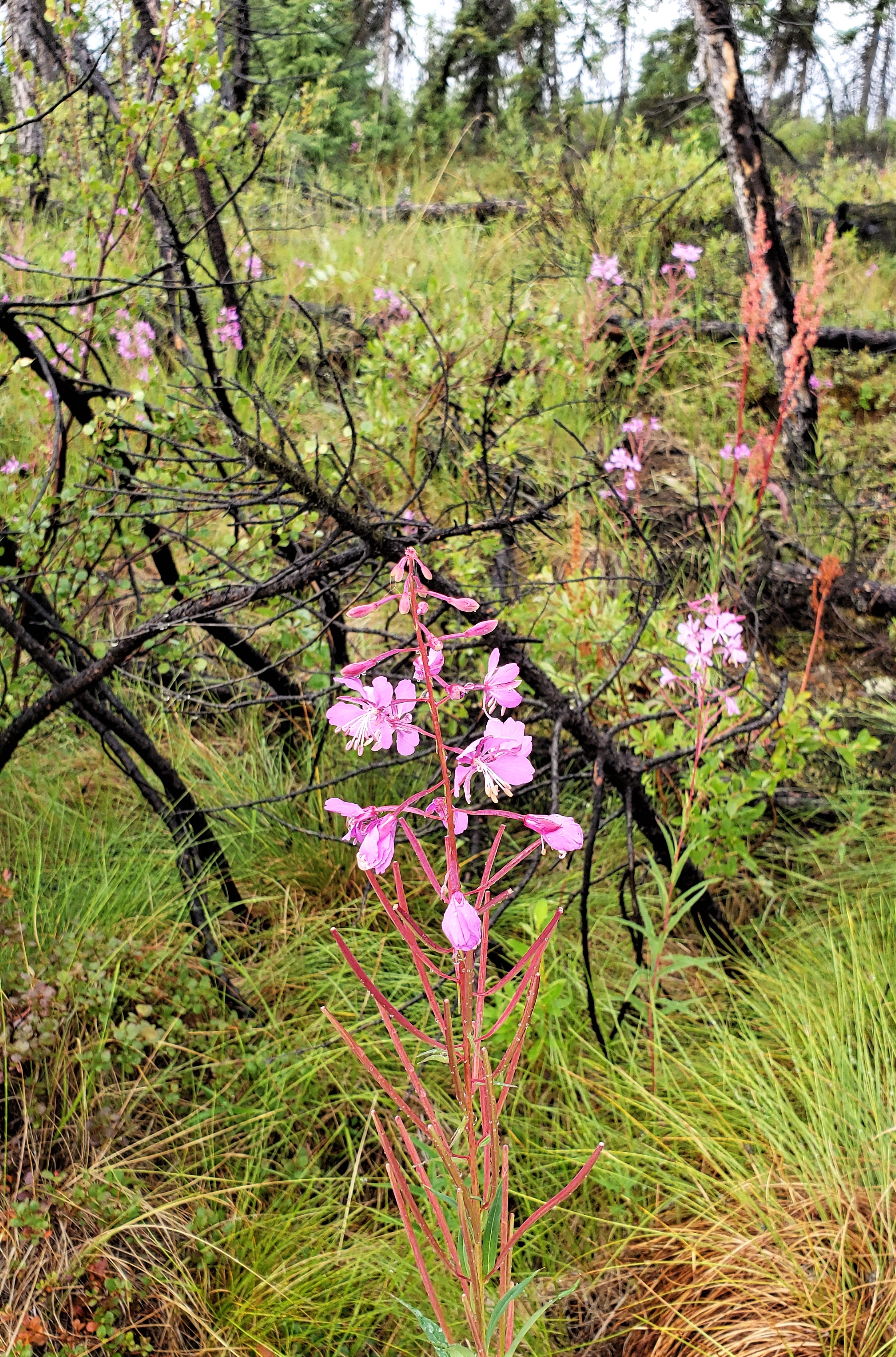
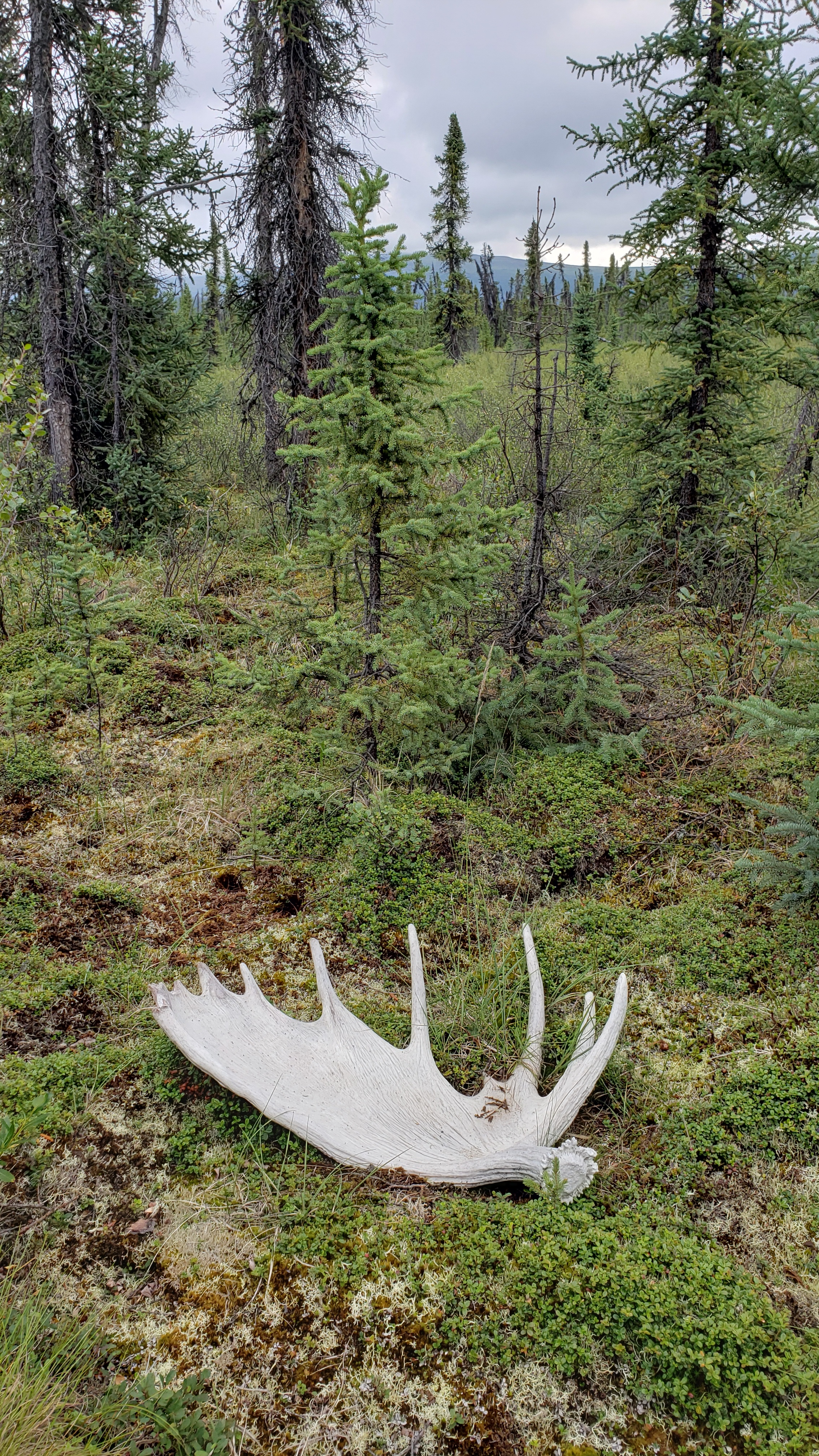
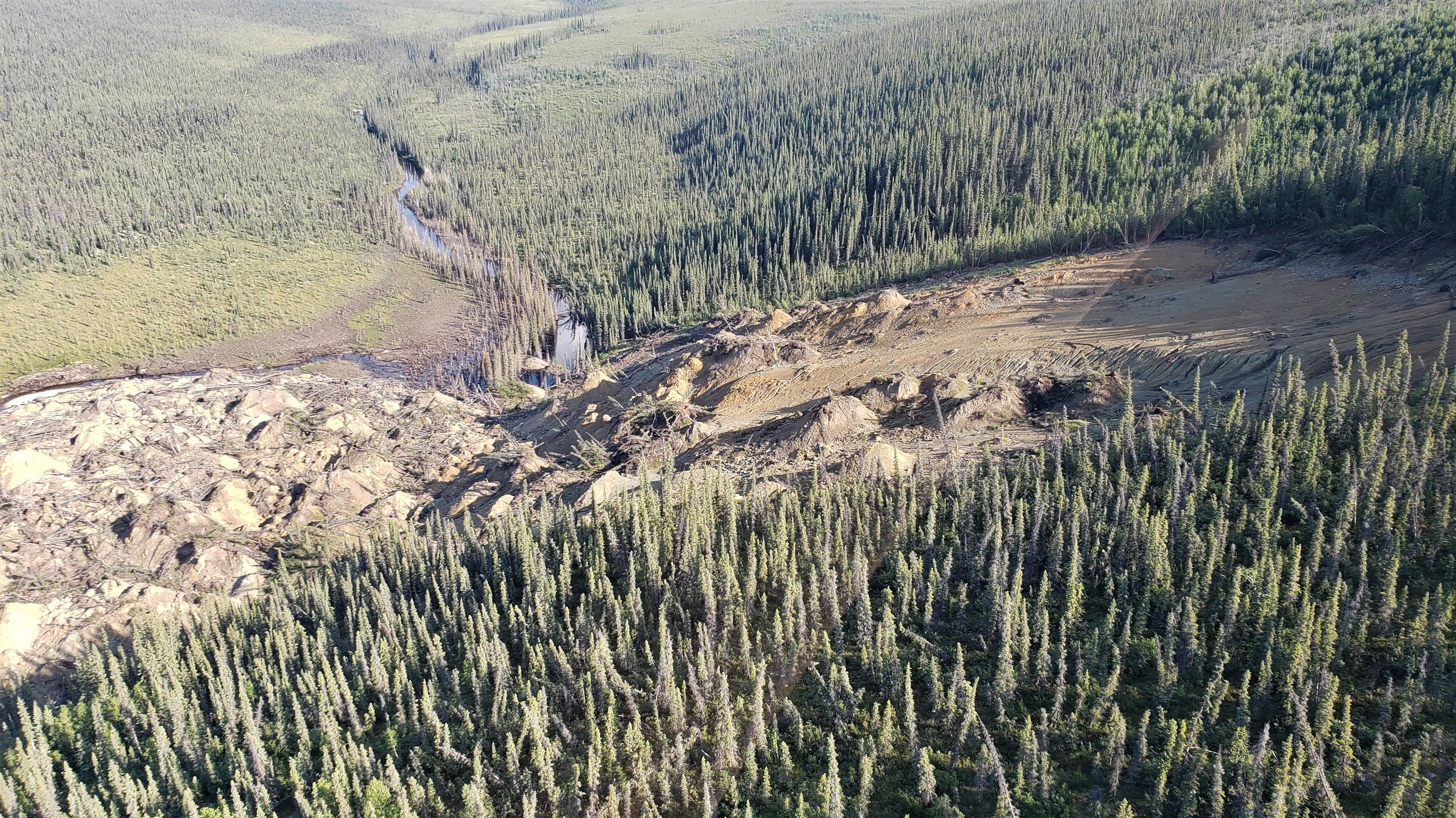
BLM Field Work Rolls On
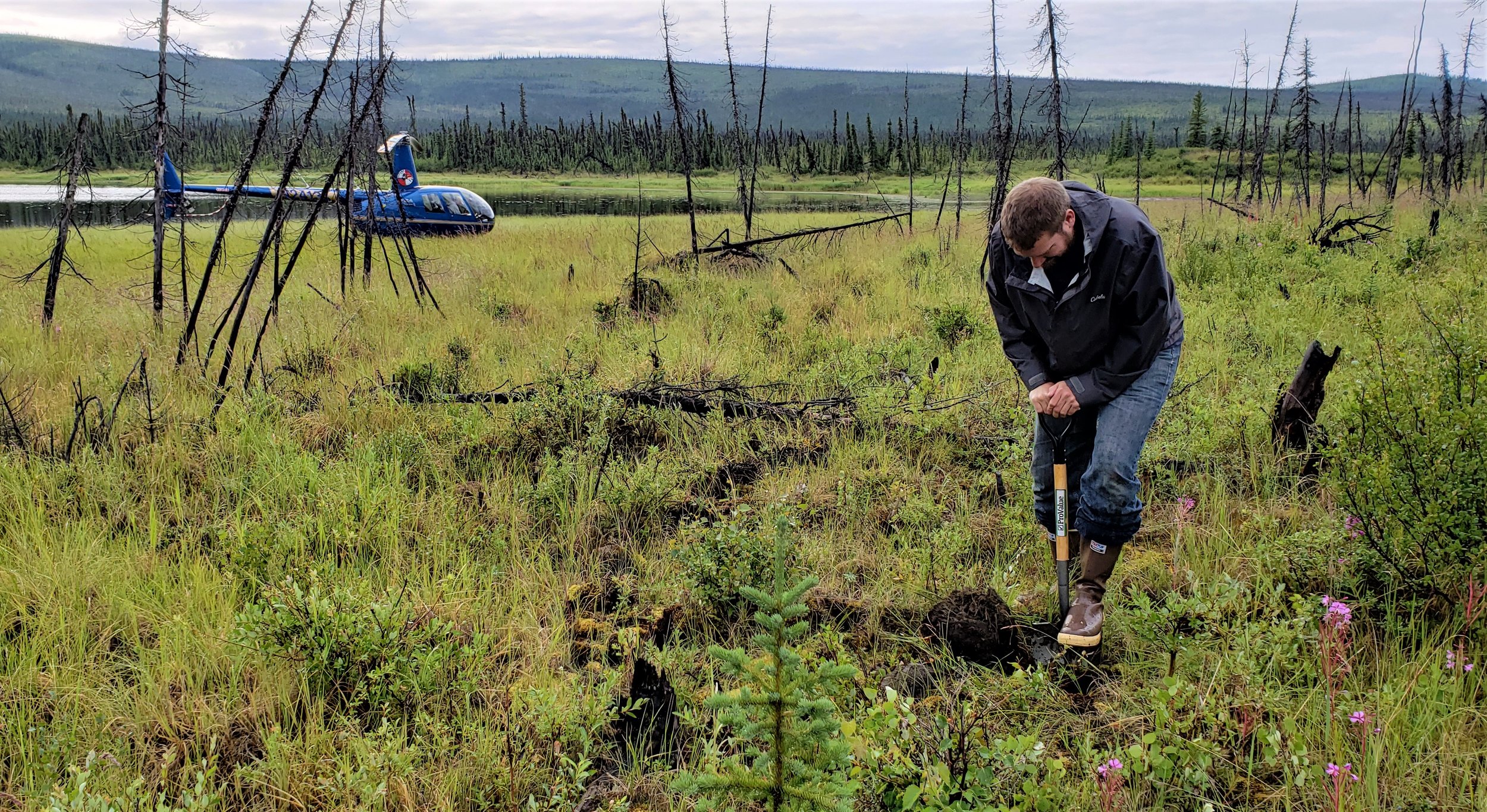
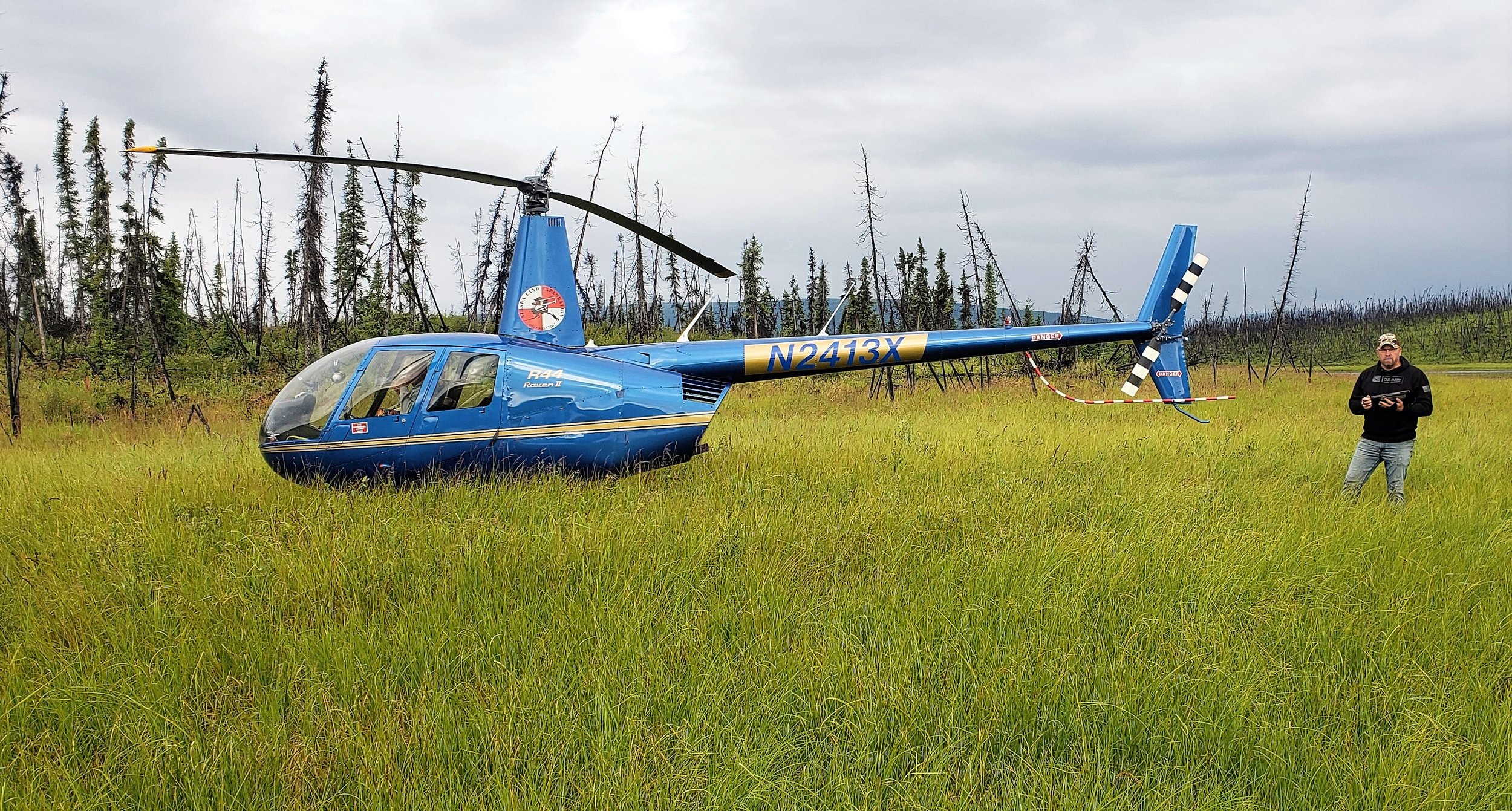
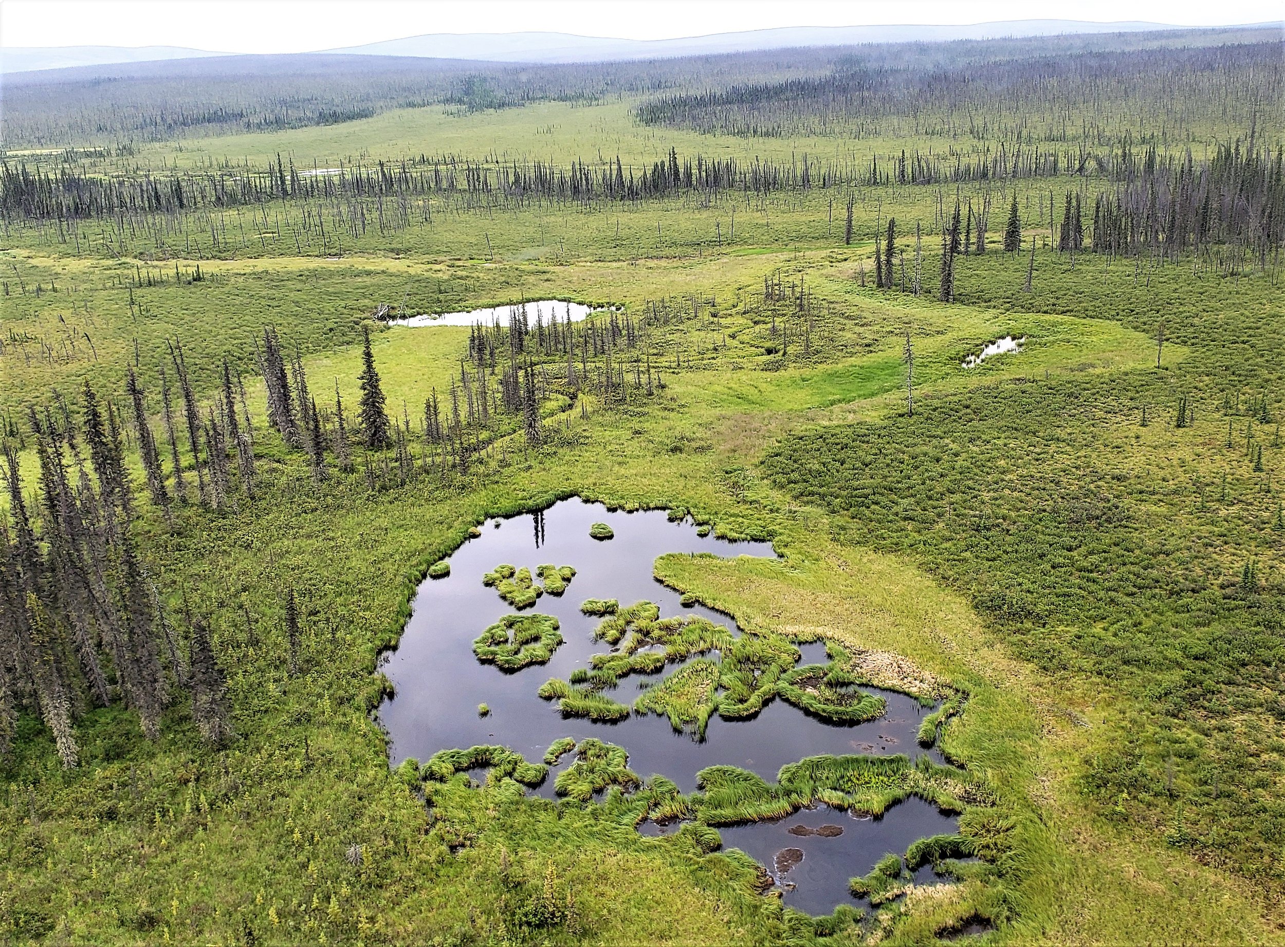
The BLM wetland mapping project and its fieldwork continued in July with GSS Staff members Kevin Stark and Eric Lindquist traveling to interior Alaska. This portion of the project covers around 6,000 square miles north of Tok, Alaska along the Canadian border to Eagle and west to nearly Delta Junction. The area primarily administered by the BLM is known to be vast, rugged and free of human development. A wide variety of wildlife was present and observed throughout the project area. The location is crisscrossed by many rivers and mountains with only one significant road, the Taylor Highway, bisecting the project area.
Alaska contains approximately 65% of the nation’s wetlands. In the current study area, wetlands are extensive and have not been mapped previously. This multi-part project will create data for use in further analyses, and provide others with data to track changes and plan as climate and resource extraction continue to be challenges in Alaska.
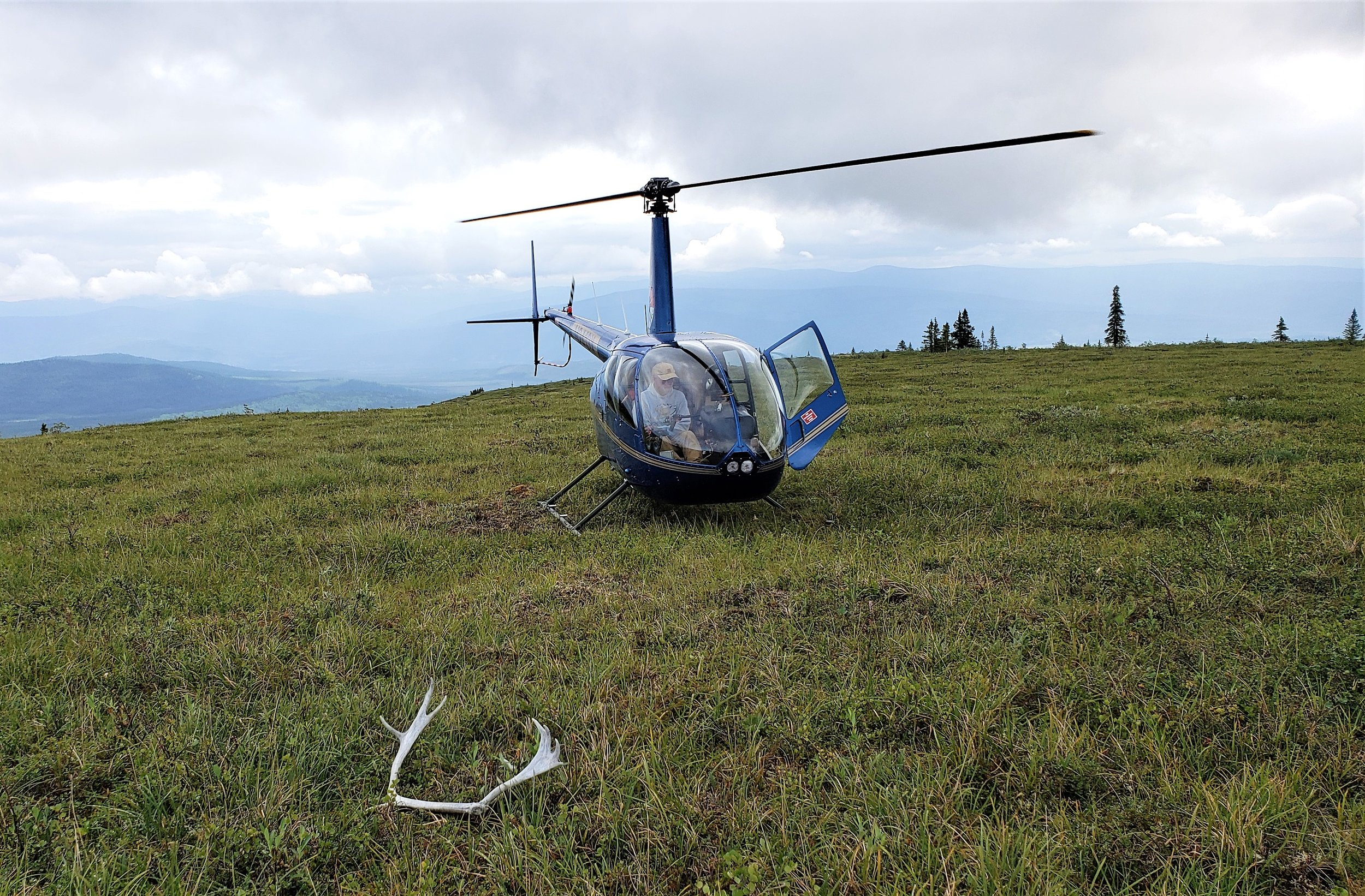
Eric and Kevin worked the area utilizing helicopter services out of Tok to familiarize themselves with the landscape and correlate satellite imagery, hydrology data, fire history data, and other collateral data with the landscape as observed from a helicopter and from select ground stops.. Vegetation, soils and hydrologic indicators of wetlands along with landscape positions were documented to inform the digital wetland mapping, a process which will be done over the next year or more. The correlation between trip observations and satellite imagery will be used to enhance the process of creating wetland data for the National Wetlands Inventory (NWI) program run by the United States Fish and Wildlife Service (USFWS). Kevin and Eric also met with USFWS staff to discuss findings and bring local knowledge and expertise to the project.
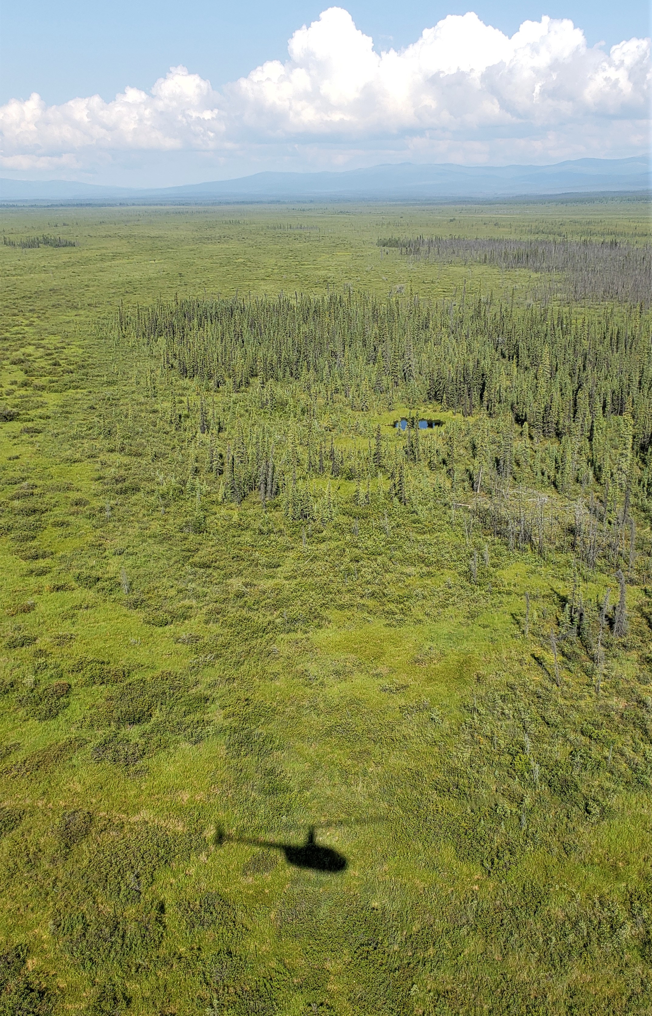
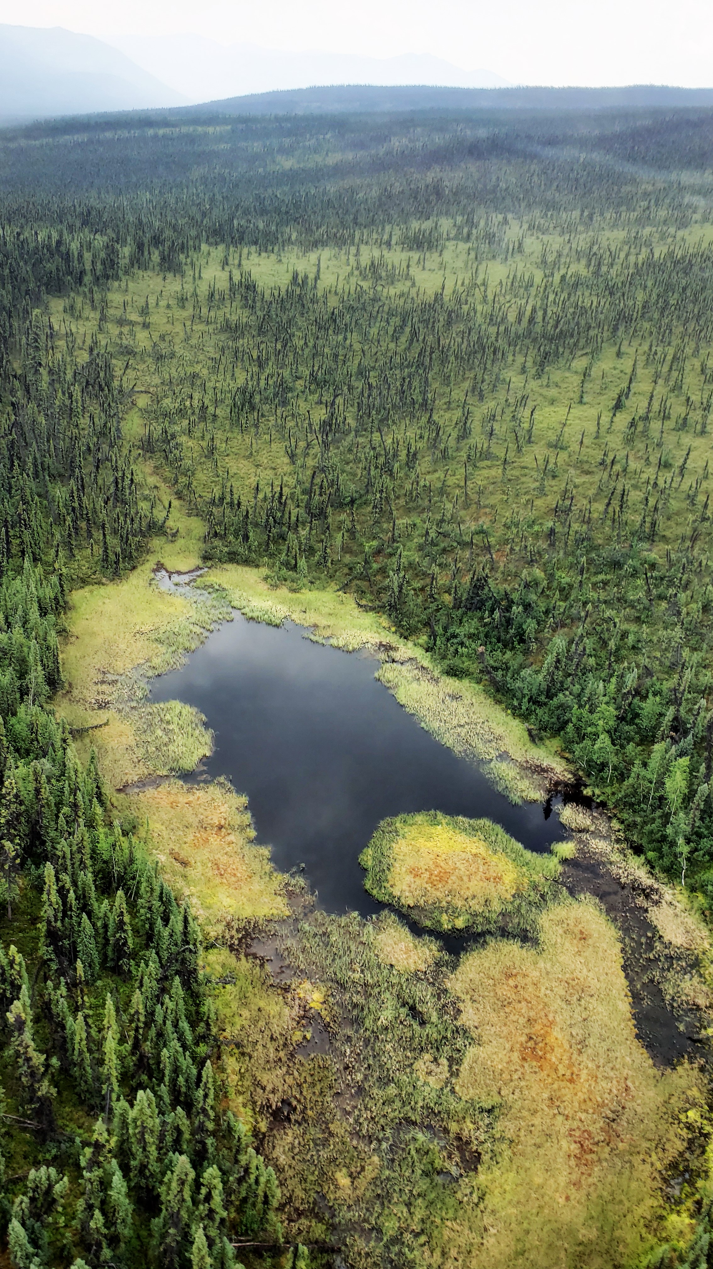
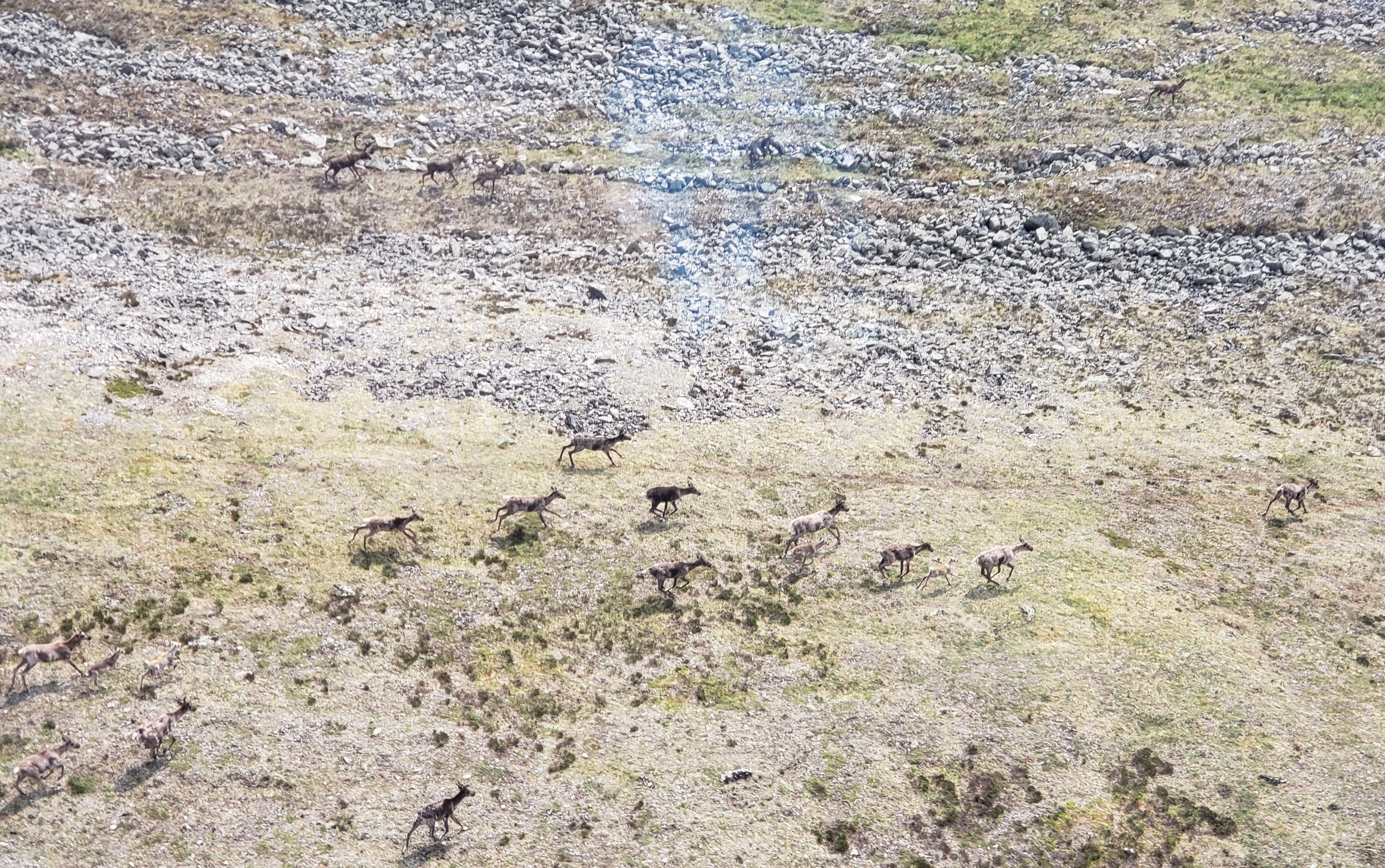
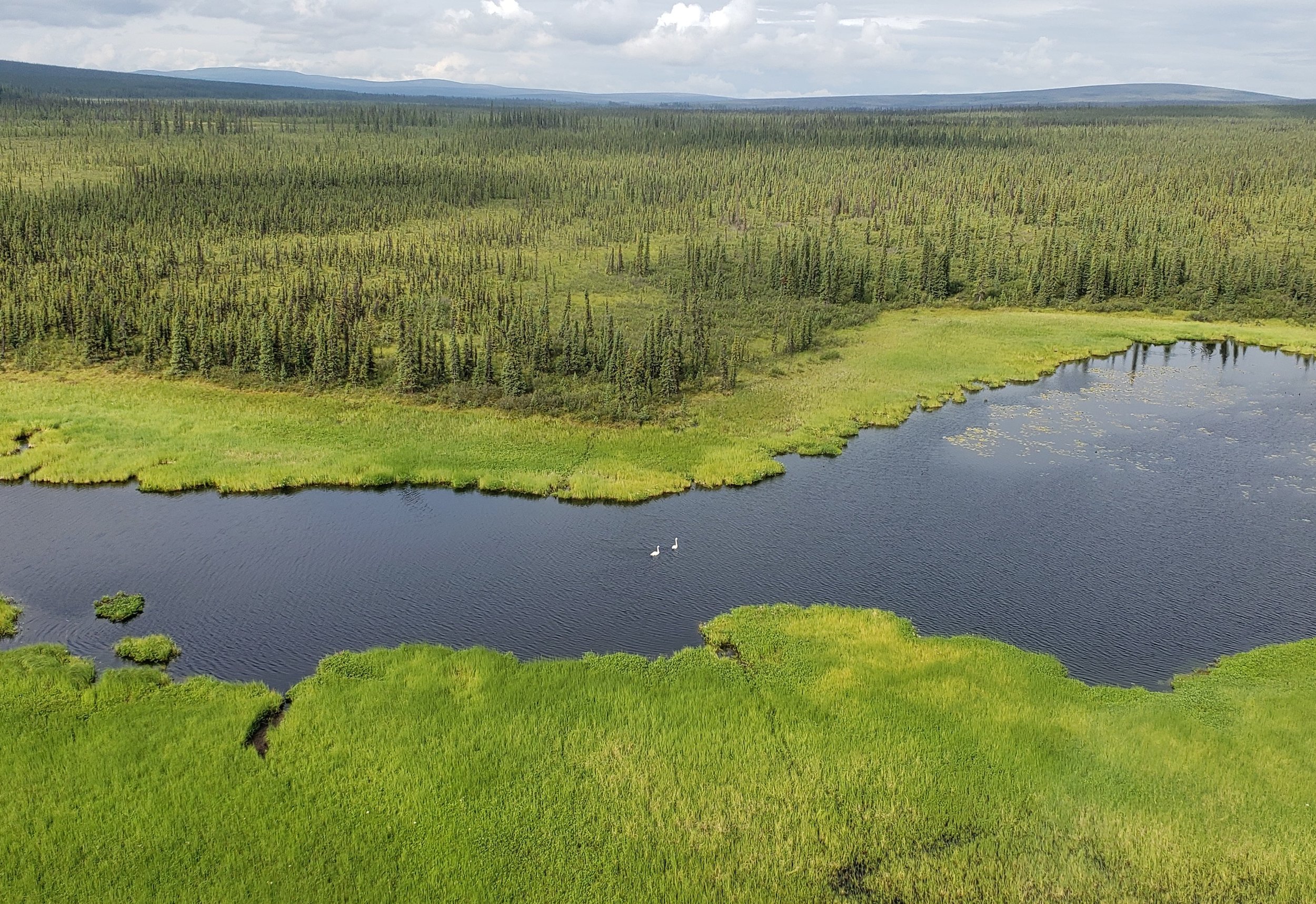

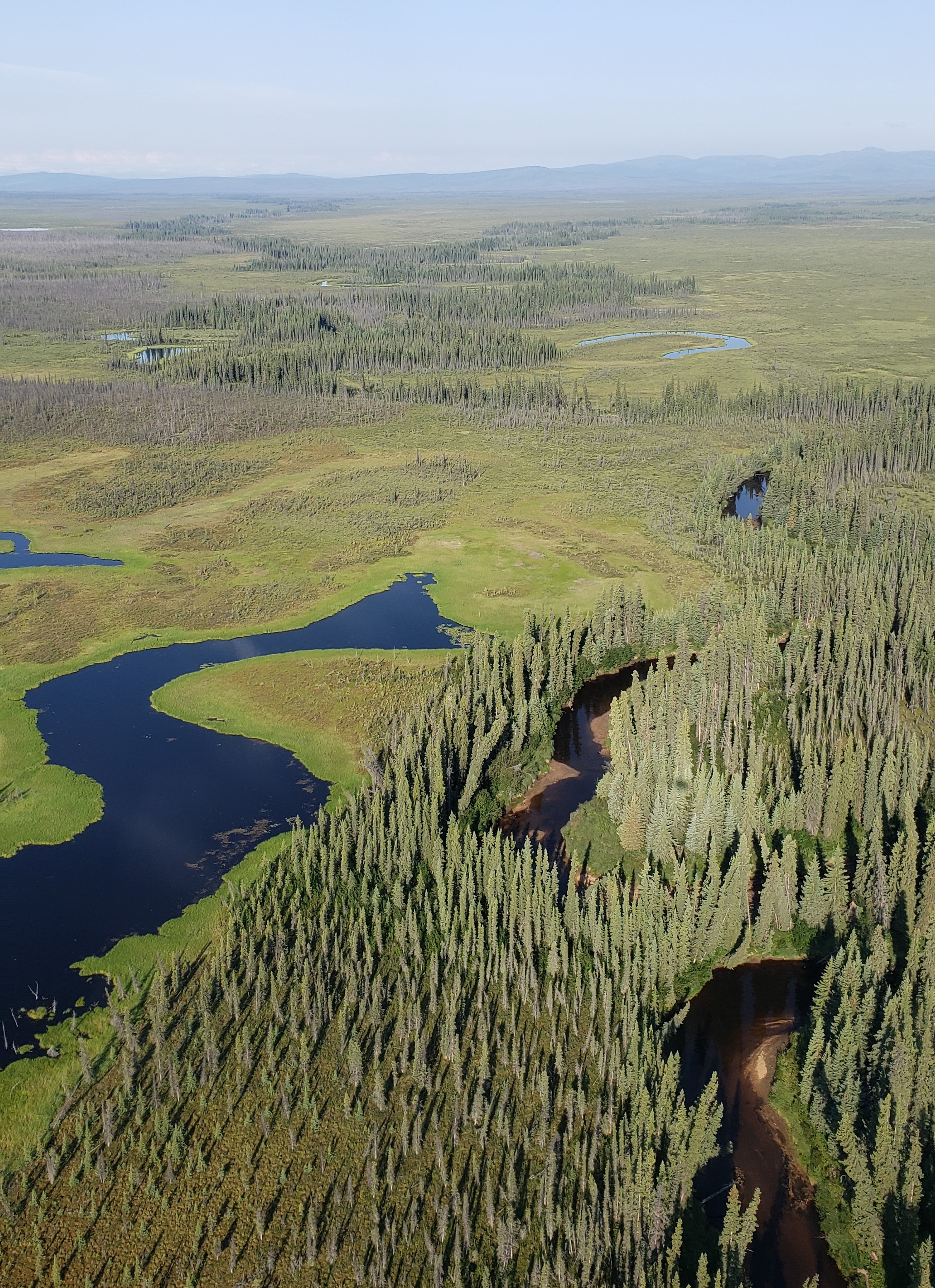
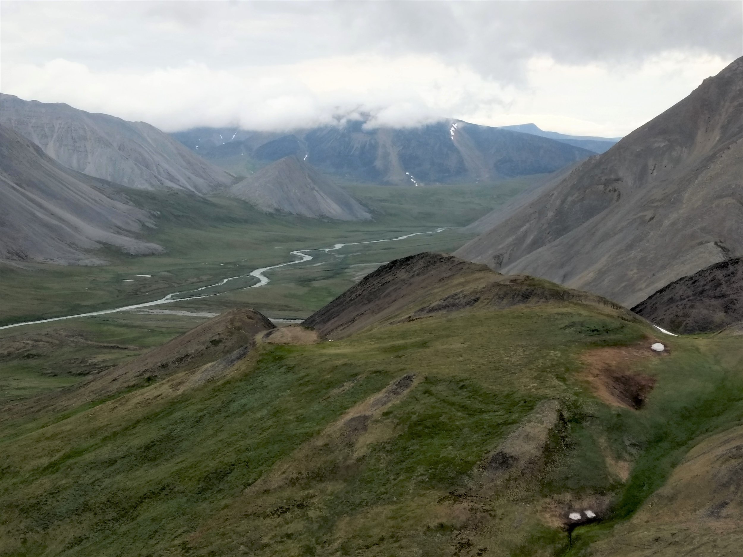
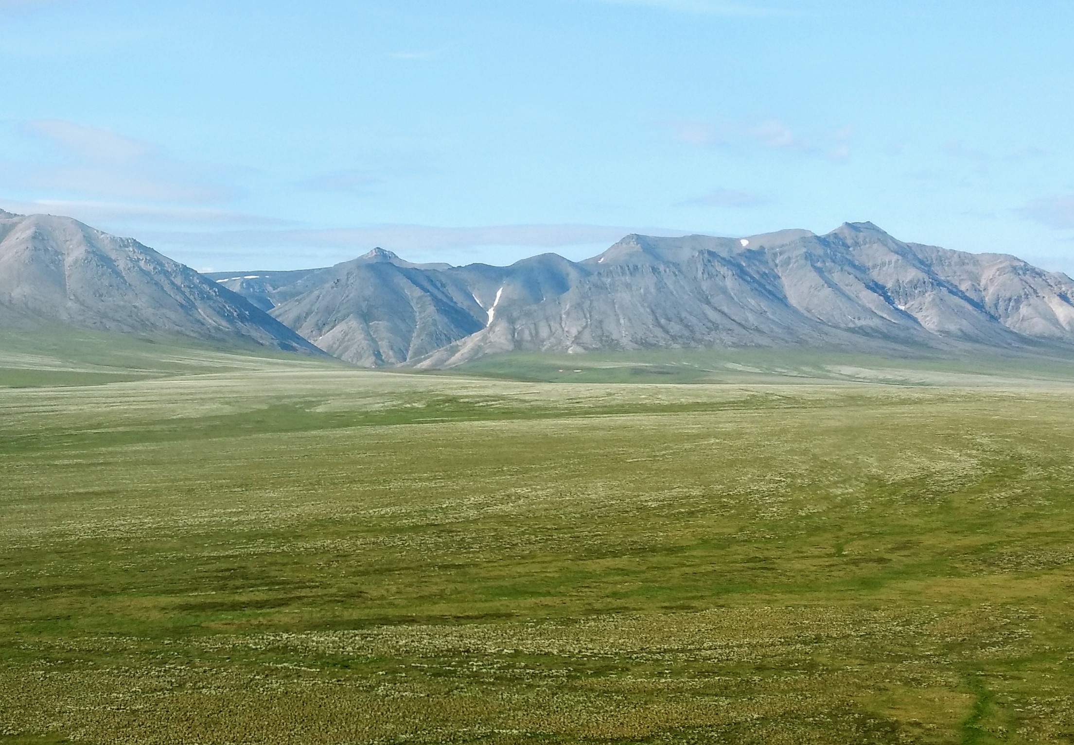
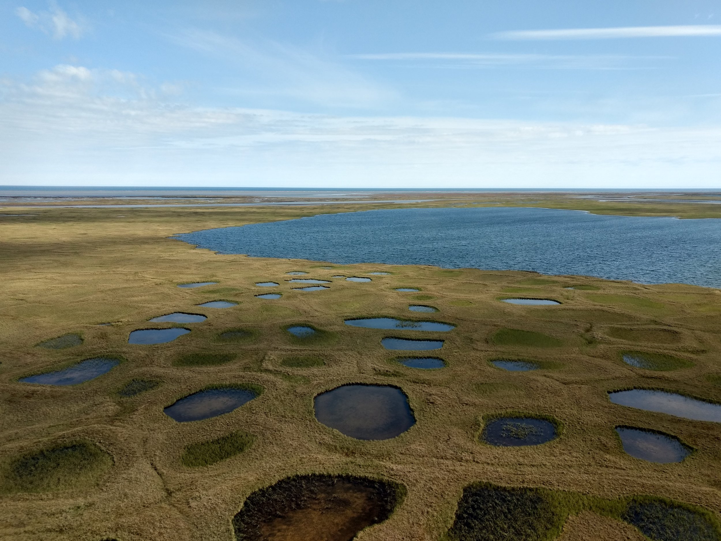
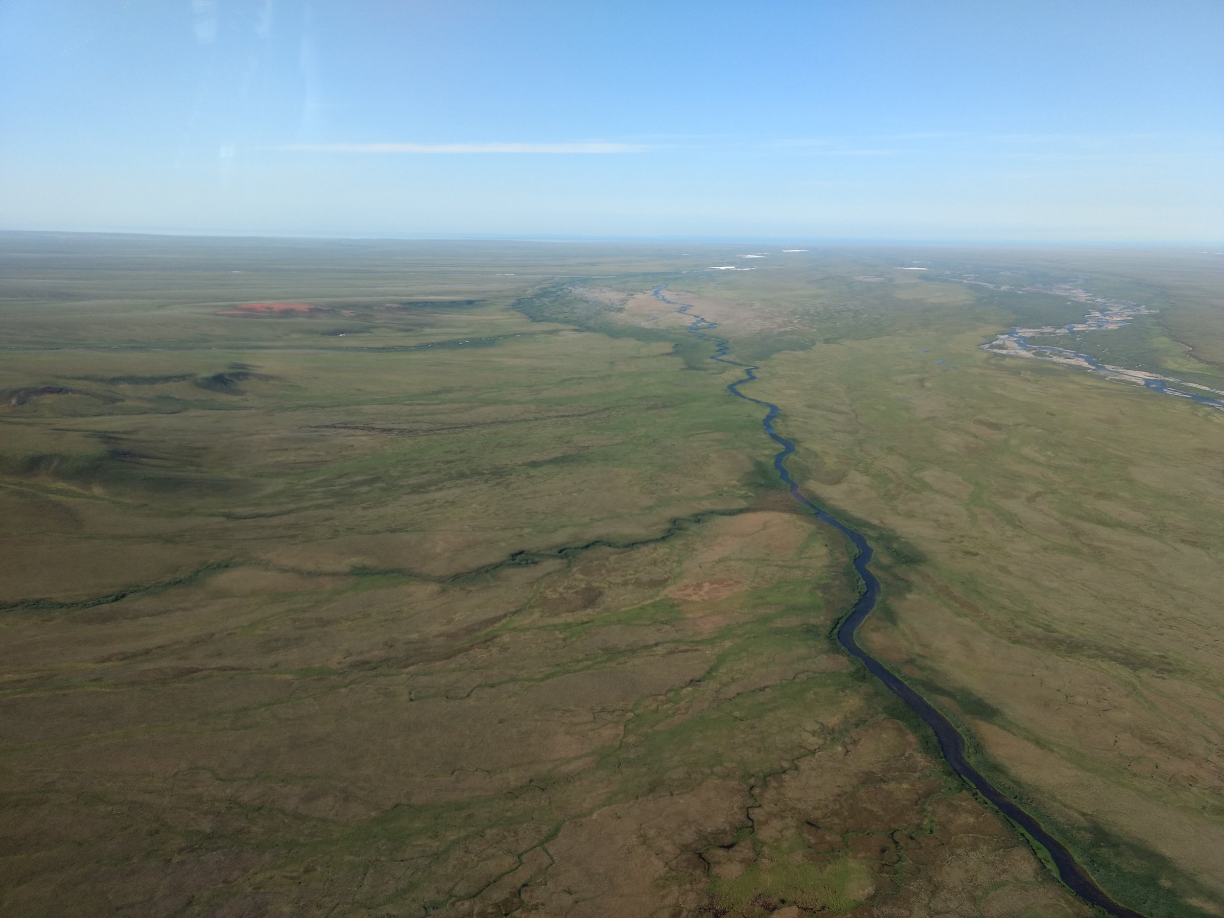
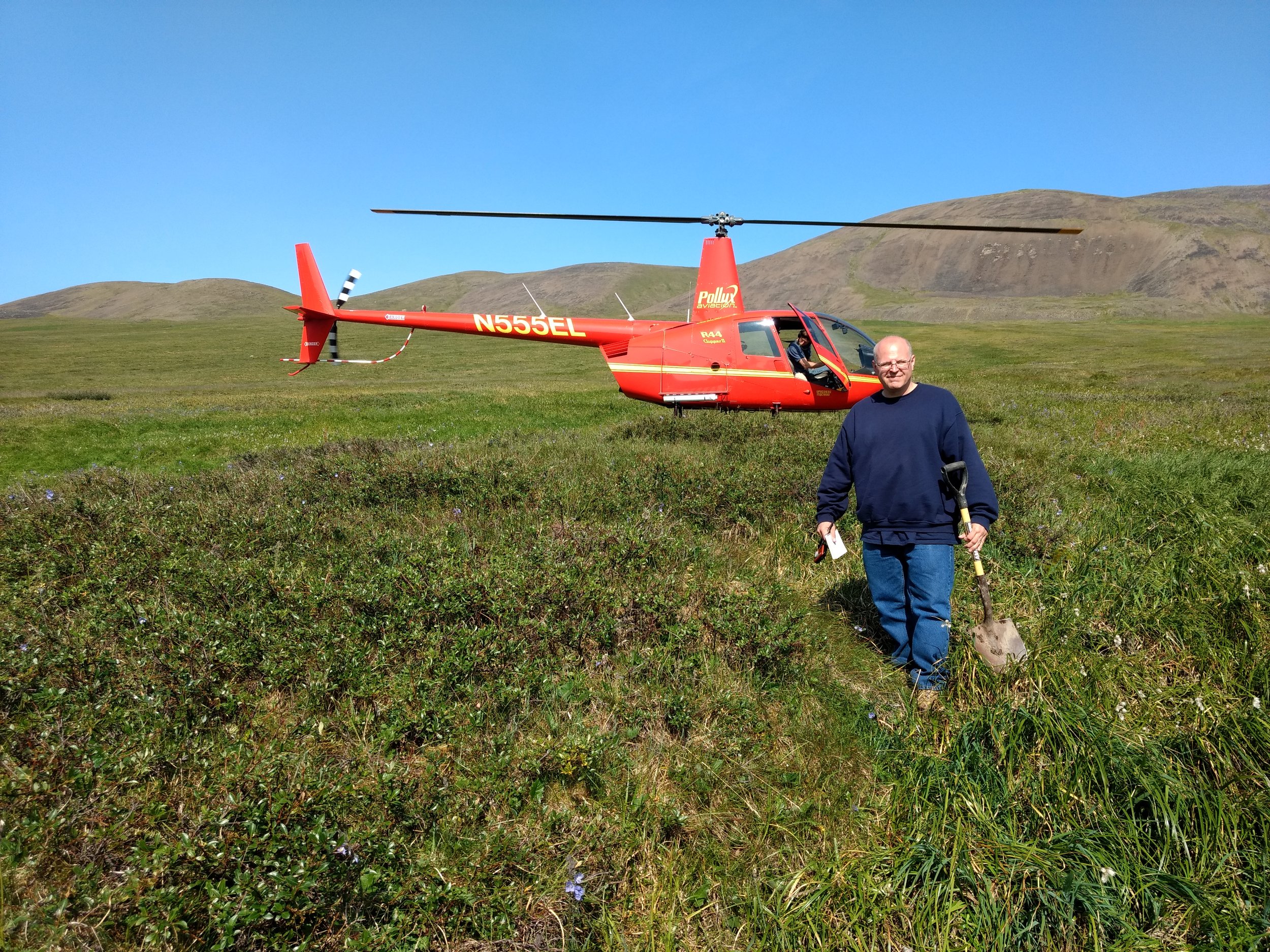
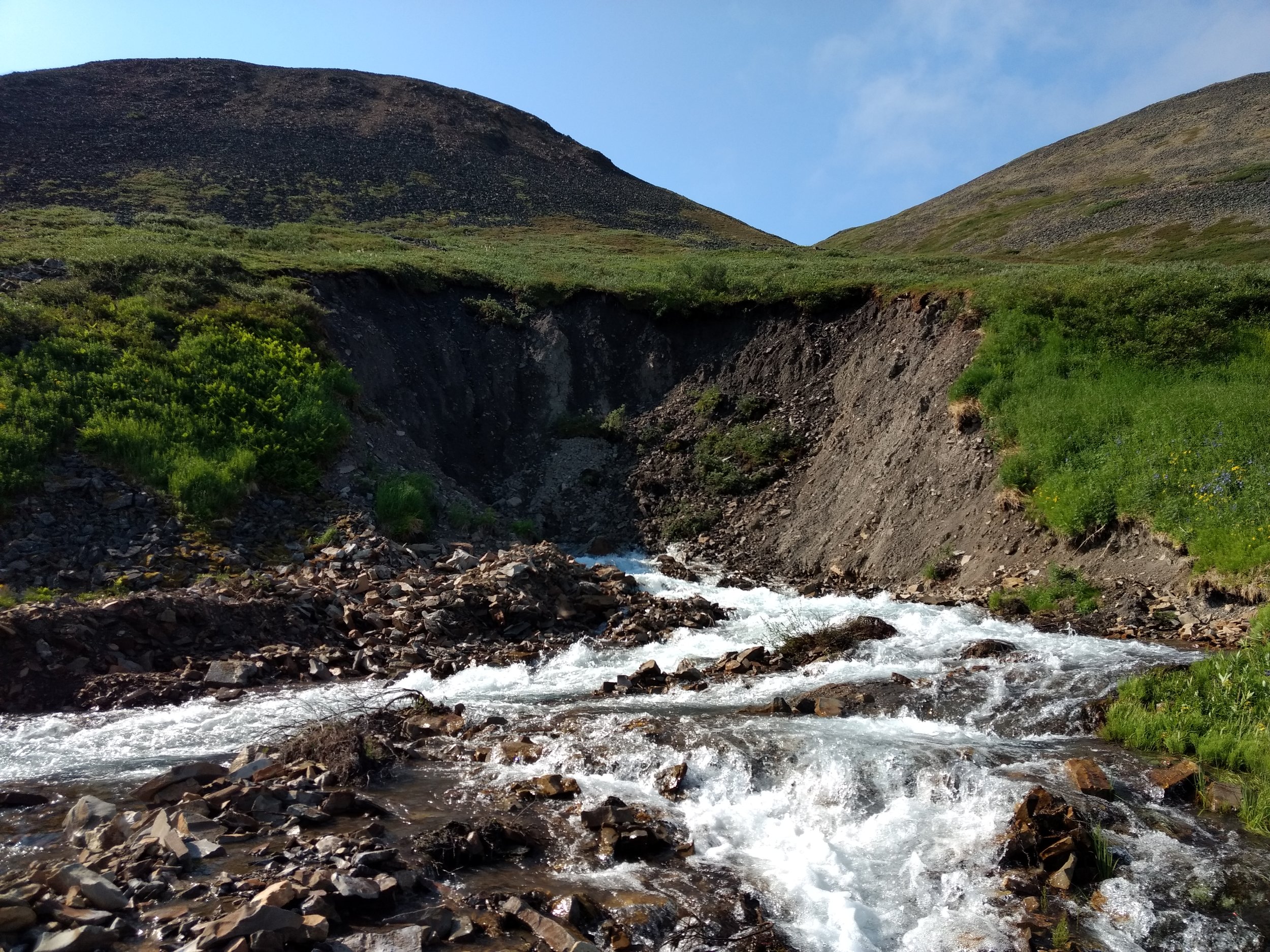
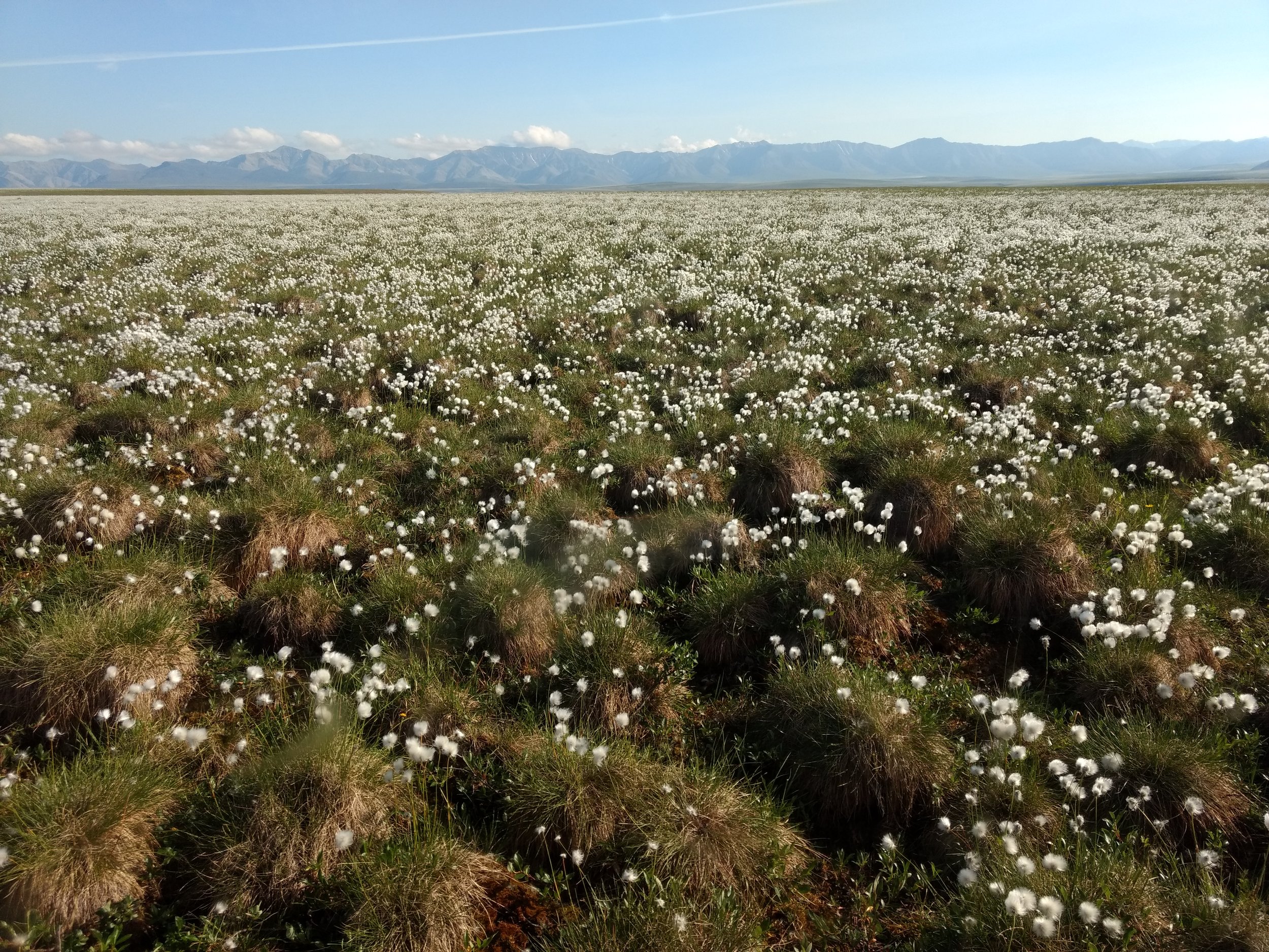
GSS Travels North of the Arctic Circle
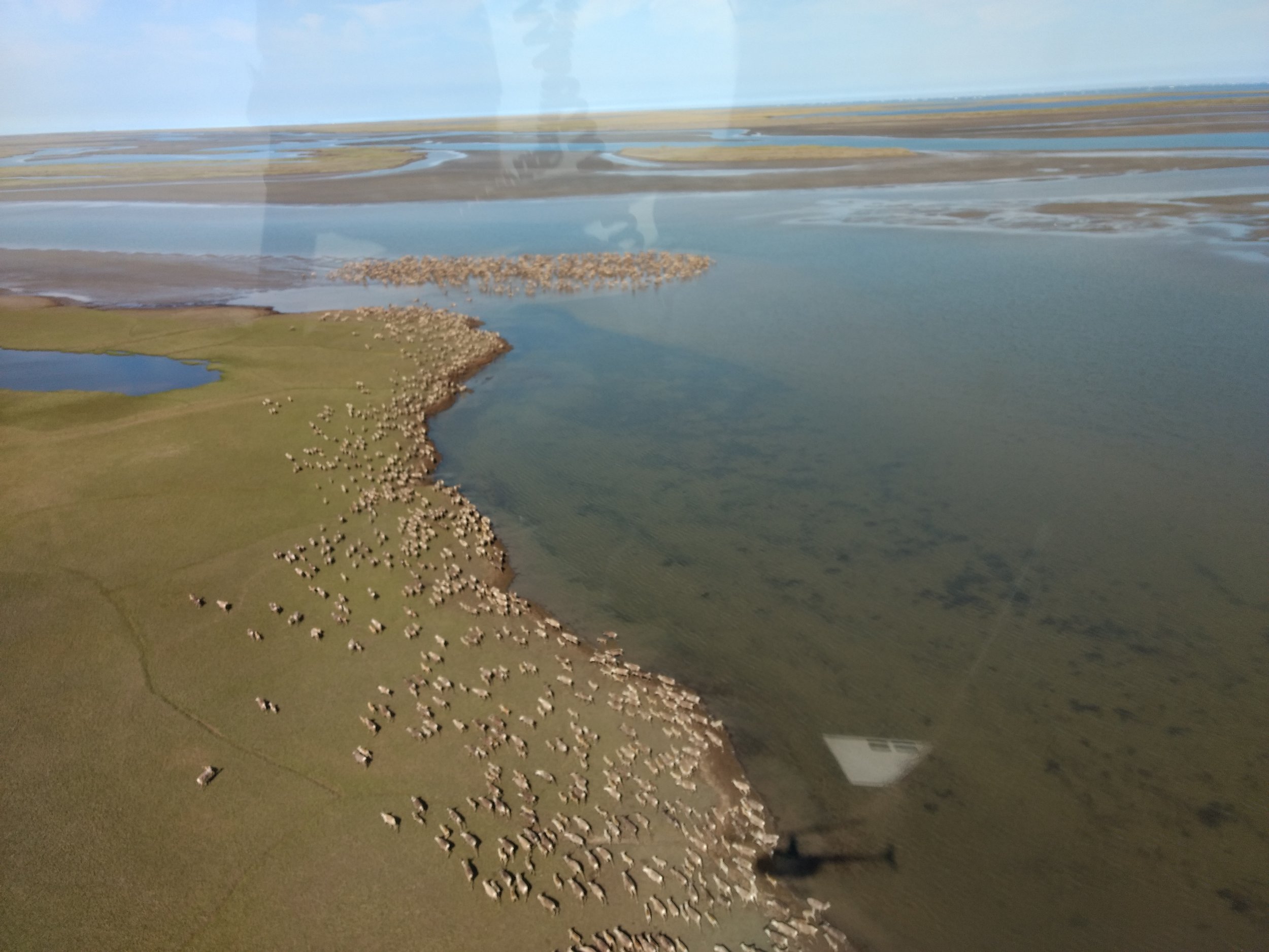
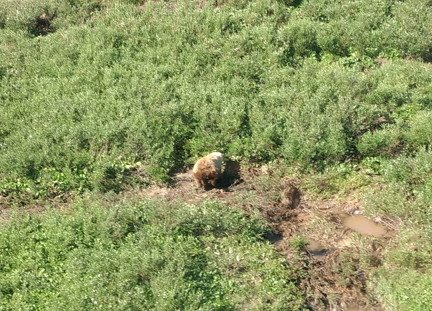
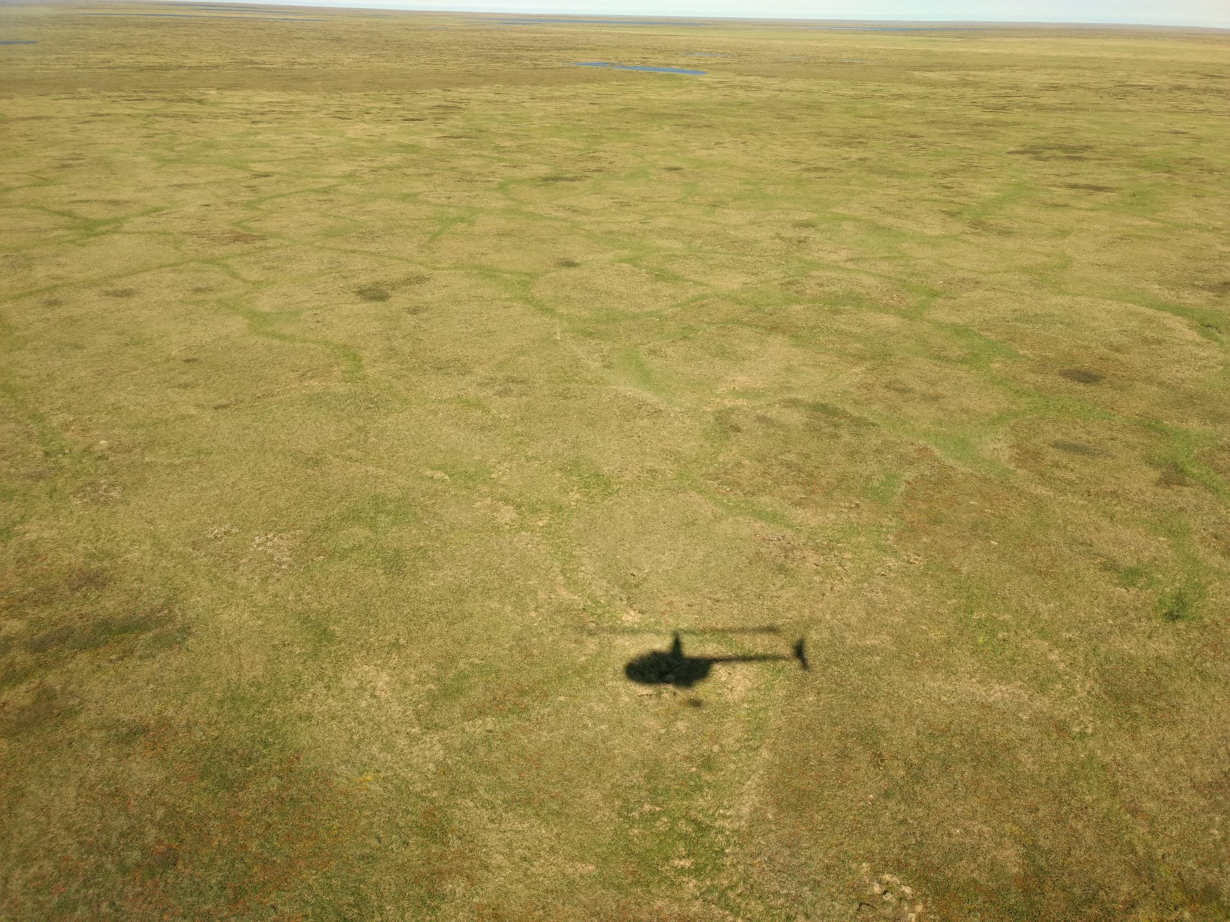
From July 4-15, GSS staff members Andy Robertson and Jeff Knopf were in Alaska conducting fieldwork in the far north of Alaska’s Arctic National Wildlife Refuge (ANWR) as part of mapping projects for the U.S. Fish and Wildlife Service and the U.S. Geological Survey. This multi-part project involves the mapping of National Hydrography surface waters and National Wetland Inventory features that will be utilized as baseline information for environmental assessments, as this region is vulnerable to variations in landscape and habitat due to changes in climate, thermokarst activity and oil exploration.
Andy and Jeff were stationed at the Kavik River Camp, made famous in the television documentary, “Life Below Zero”. From Kavik Camp, daily fieldwork investigations were conducted by helicopter across the nearly seven million acre project area in order to gather information on vegetation, soil, saturation, permafrost and landscape dynamics. Andy and Jeff also took numerous pictures to support findings and to provide a broad depiction of hydrologic mechanisms for other staff and partners to use in mapping.
While in the field, Andy and Jeff assisted the University of Maryland’s efforts to generate an inundation model, intended to assist in the definition of wetland water regimes, by visiting several sites to validate the output of sample data provided to them by university scientists. Notes and pictures were shared with the University of Maryland to help them better design algorithms in their model needed to identify inundation.
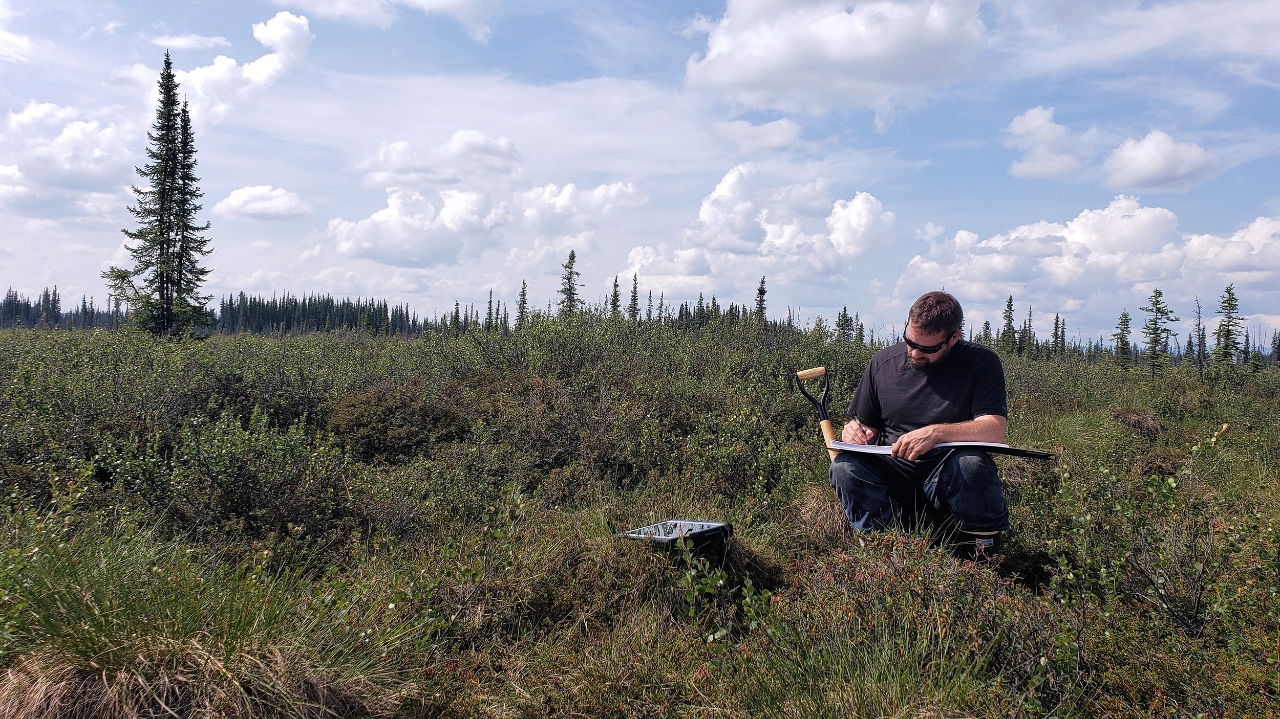
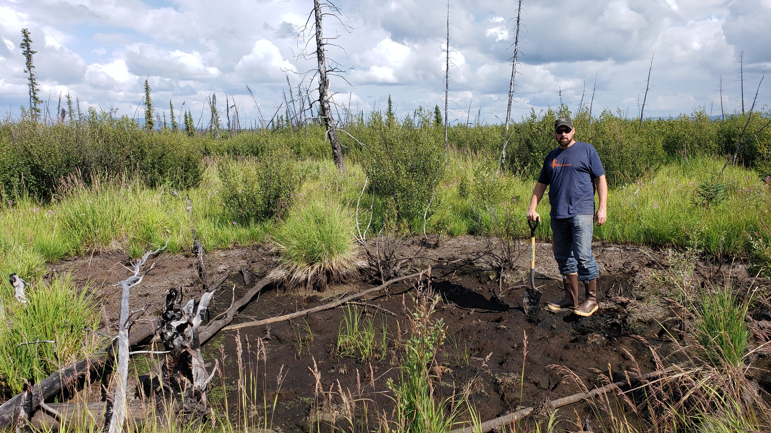
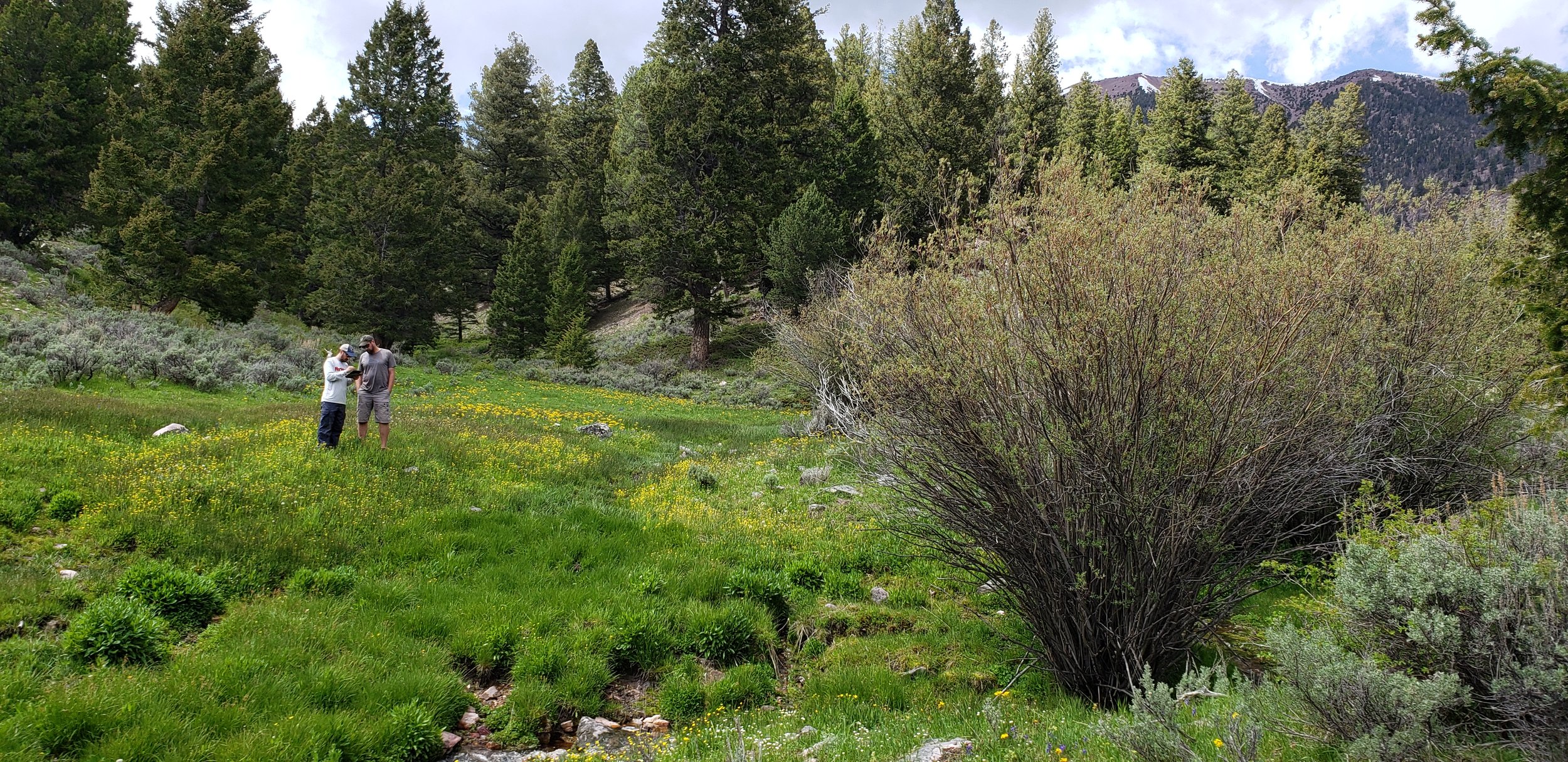
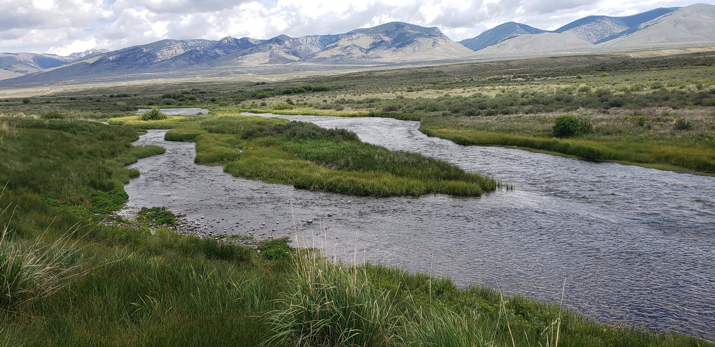
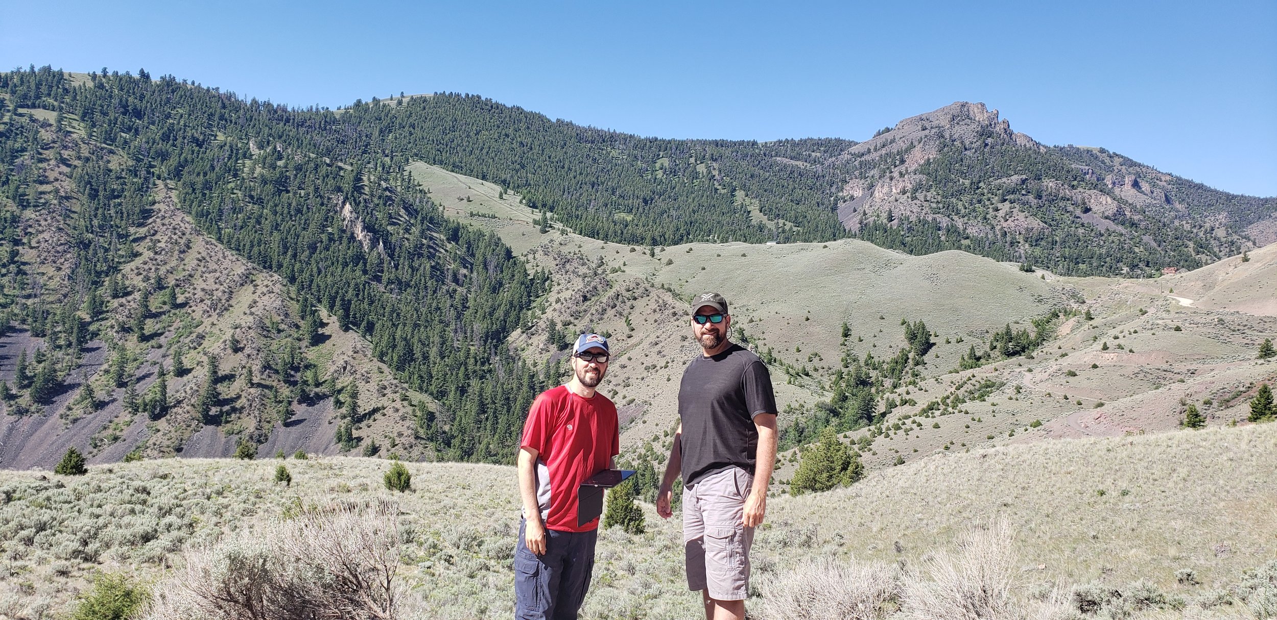
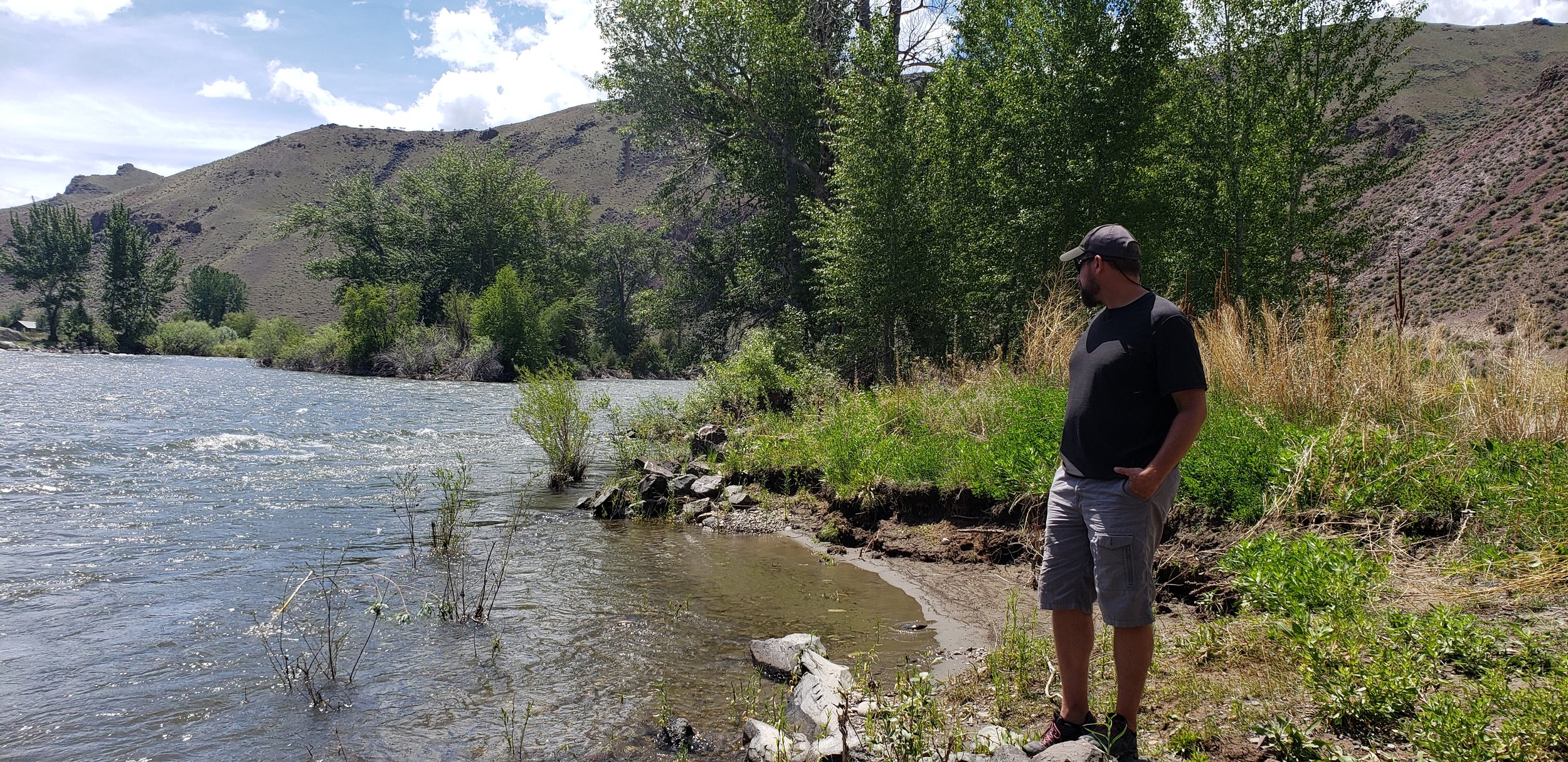
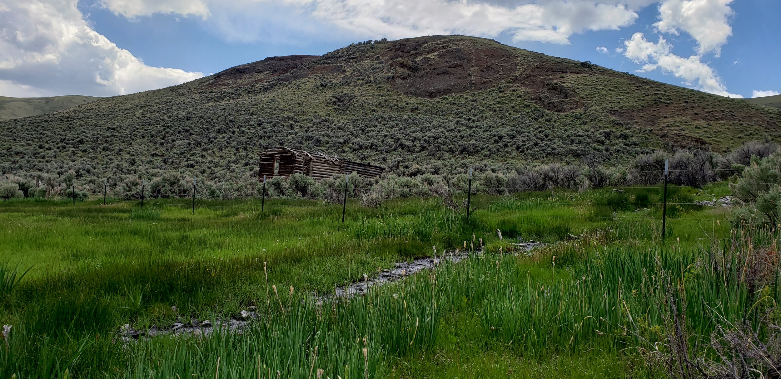
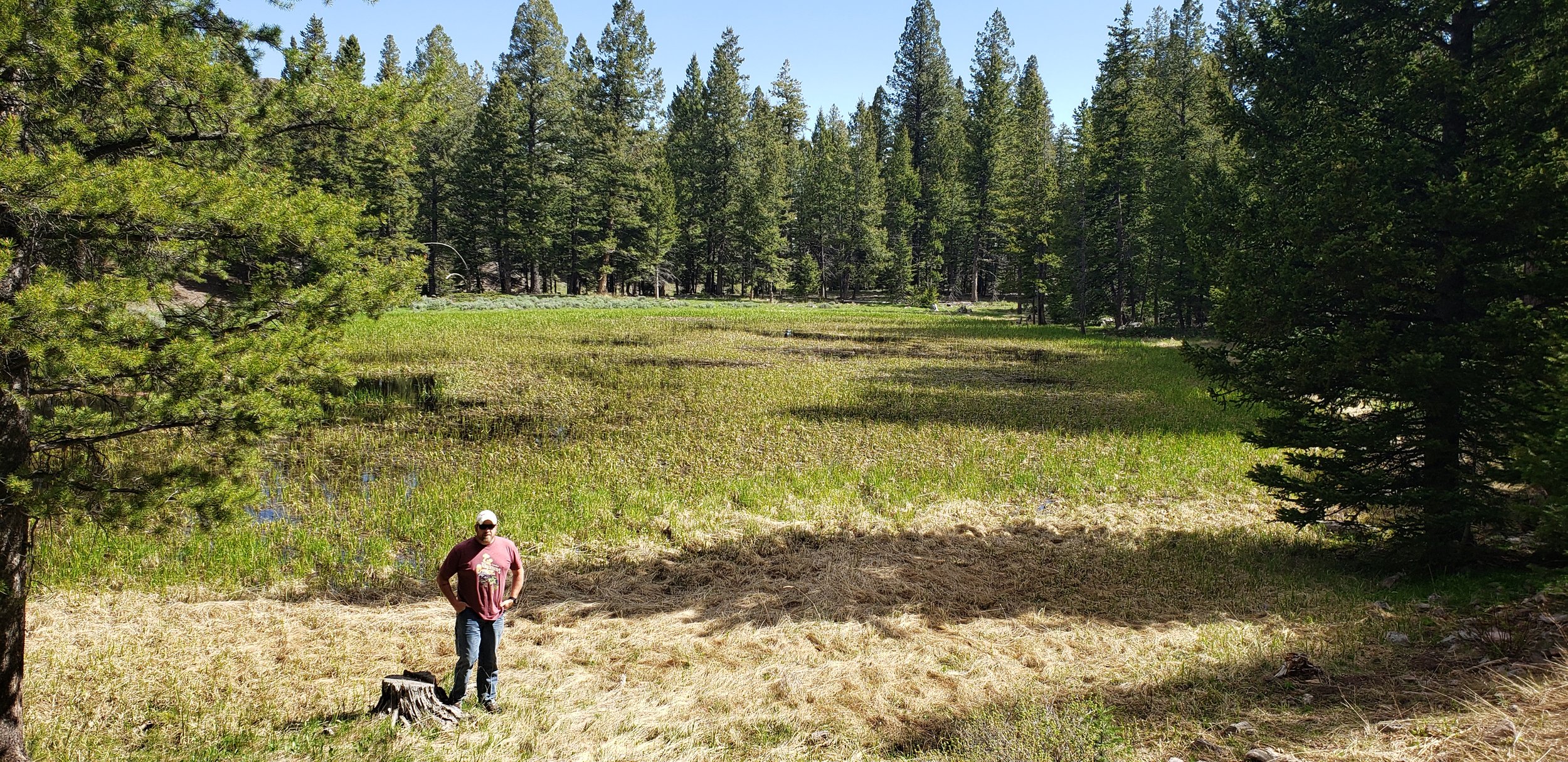
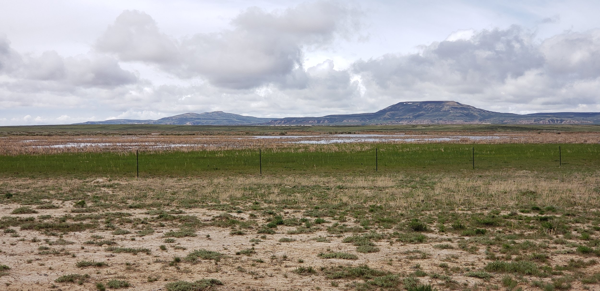
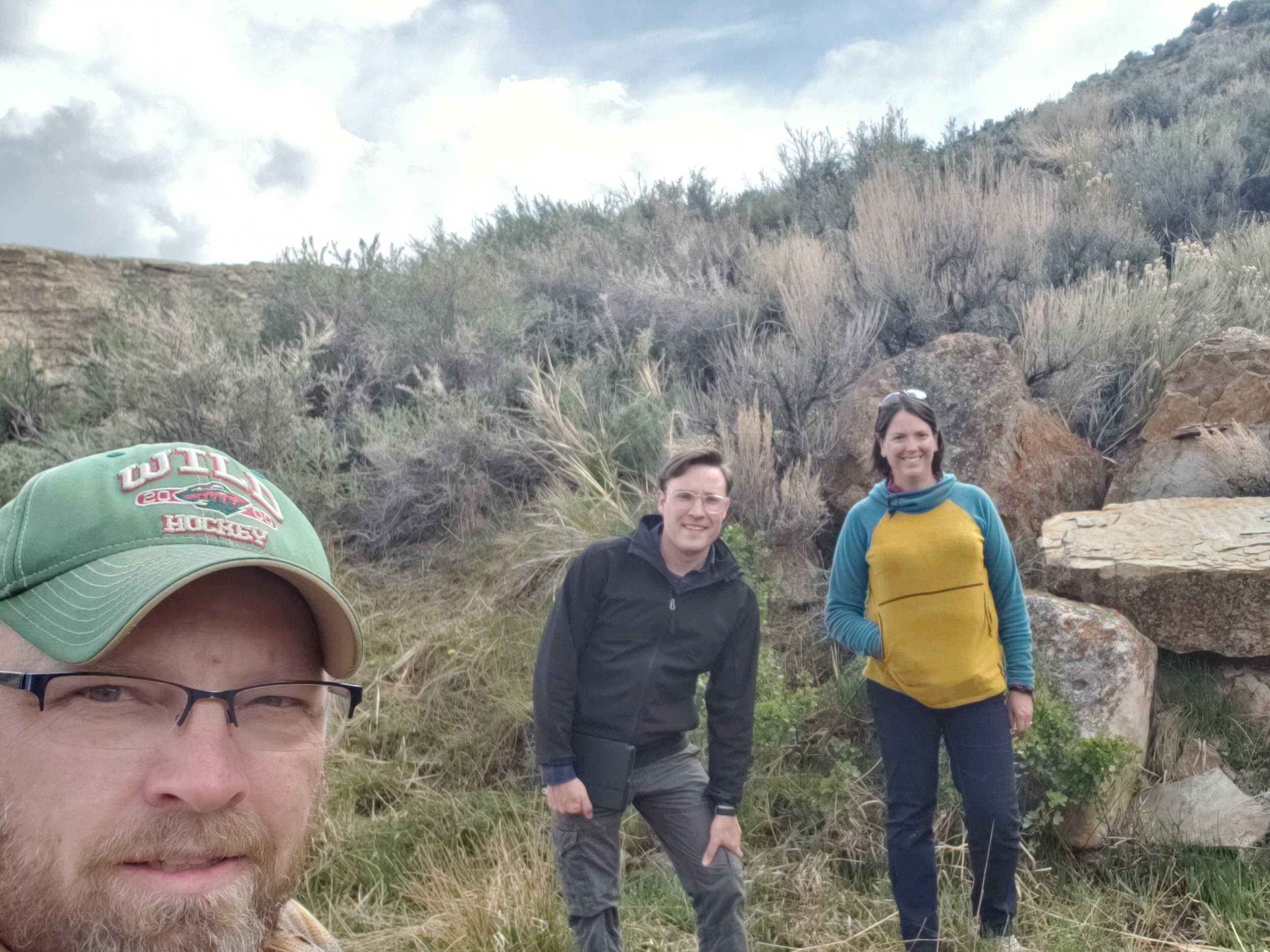
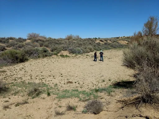
BLM project continues with Idaho fieldwork
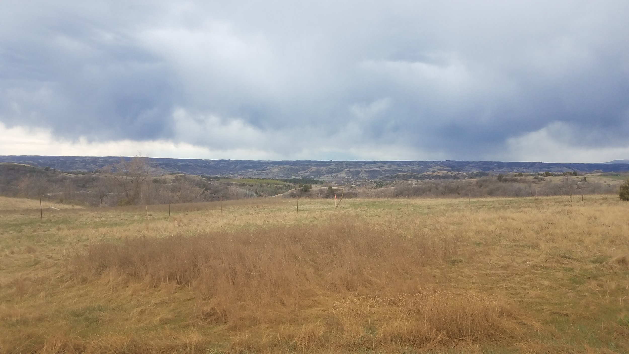
In mid-June, GSS staff members Kevin Stark, Andy Nadeau, and Eric Lindquist spent 10 days in northeastern Idaho doing pre-mapping fieldwork for the Bureau of Land Management Wetland and Riparian Area Mapping and Assessment Project.
The team traveled the three major valleys and mountain regions of the study area located along the Montana border and down to the Snake River plain. This part of Idaho includes parts of the Bitterroot Mountains, Salmon River Mountains, Lemhi Valley, and the Lost River Valley and more. Staff visited the unique landscapes in order to ‘ground truth’ upcoming mapping in the area. They also met with members of the Bureau of Land Management (BLM) while in the field to enhance understanding of the area. Dozens of different wetland sites were visited, making it a priority to document the present plant species, how water was moving through and sitting in the wetland landscapes, as well as the types of human-altered water uses in the area. The geography of the study area has influenced much of its use, especially water and land use, and with ranching being the dominant economic activity, the limited and highly modified water supplies of the area must be shared by cattle and native wildlife (e.g., elk, deer, pronghorn).
Once mapping and classification of these semi-arid western wetlands is complete, a wetland functional assessment will be performed to determine what services the wetlands can provide to the surrounding ecosystem.
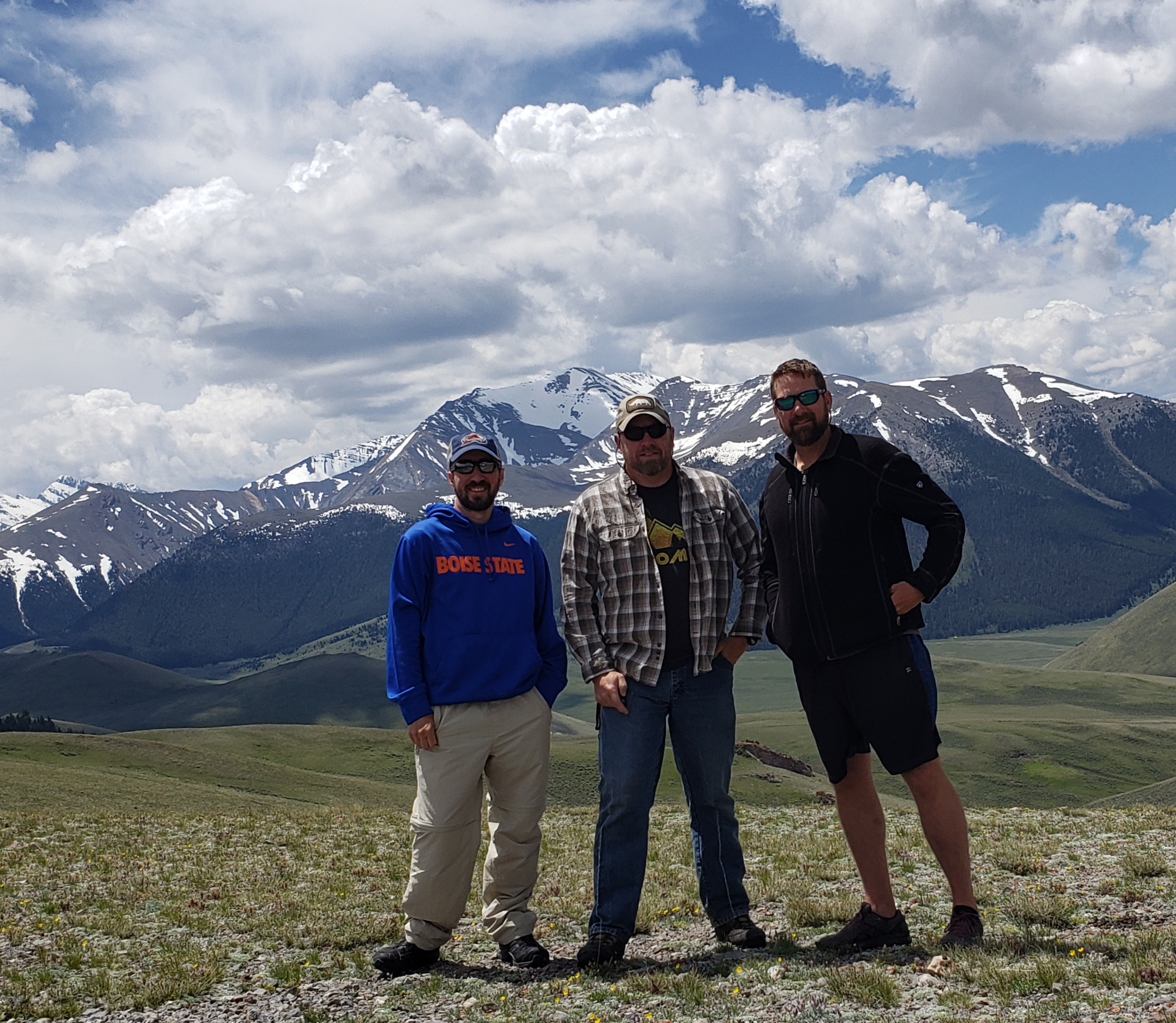

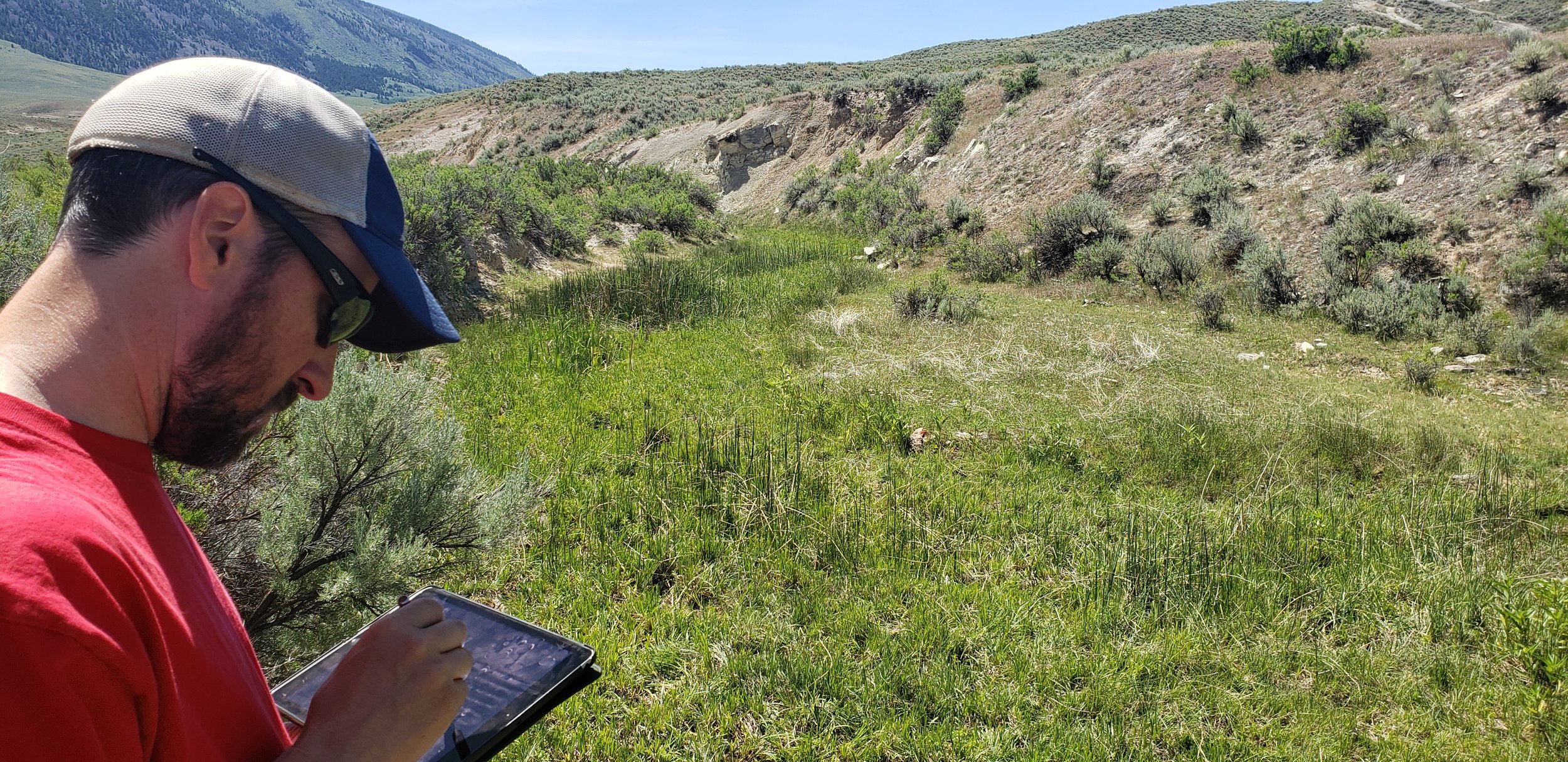


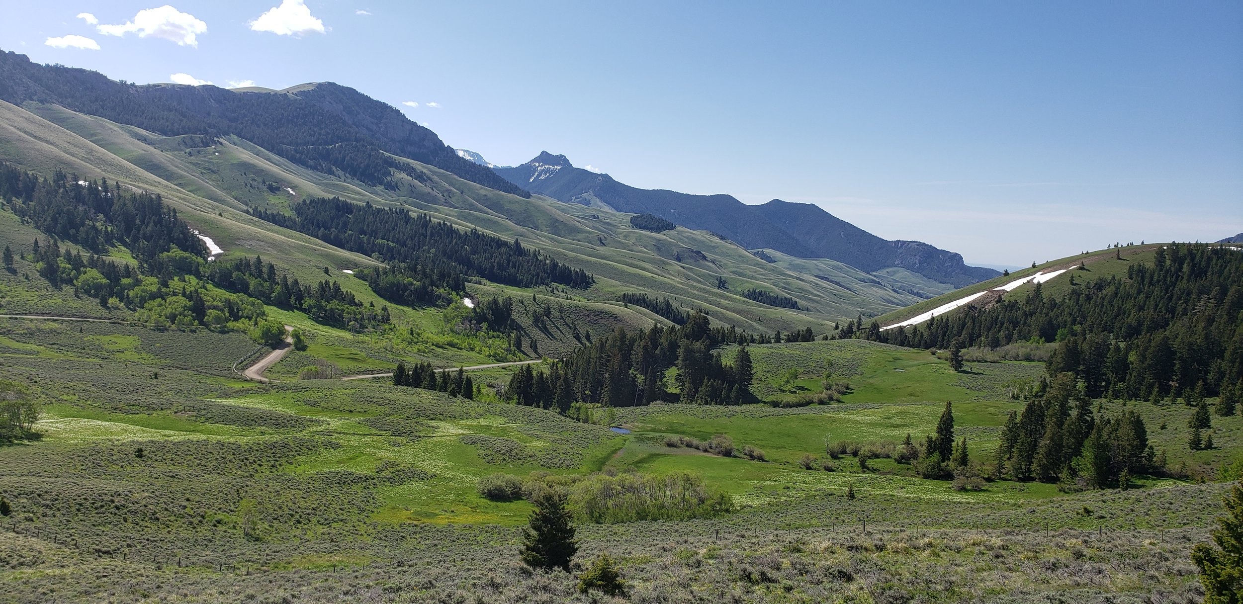
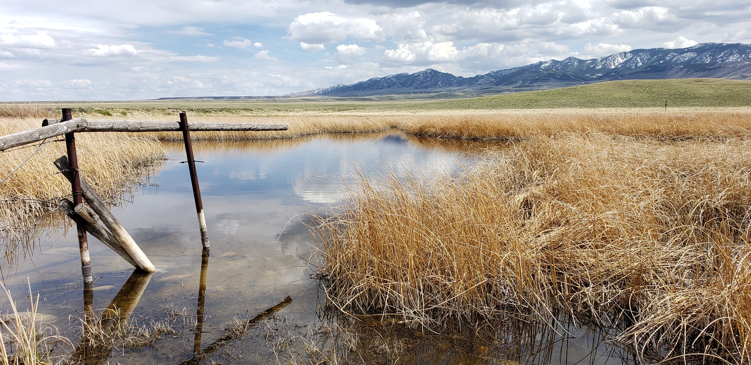
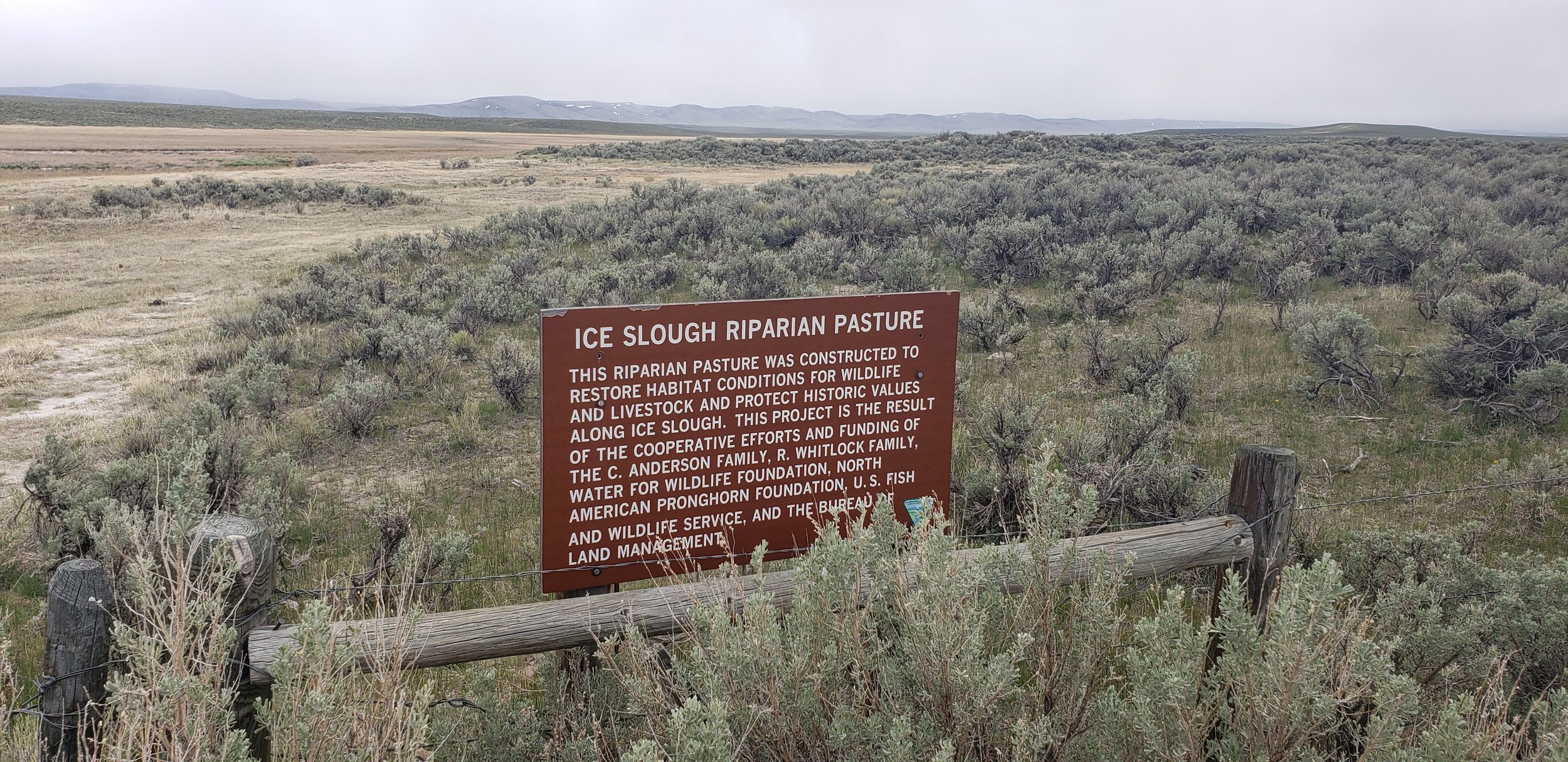
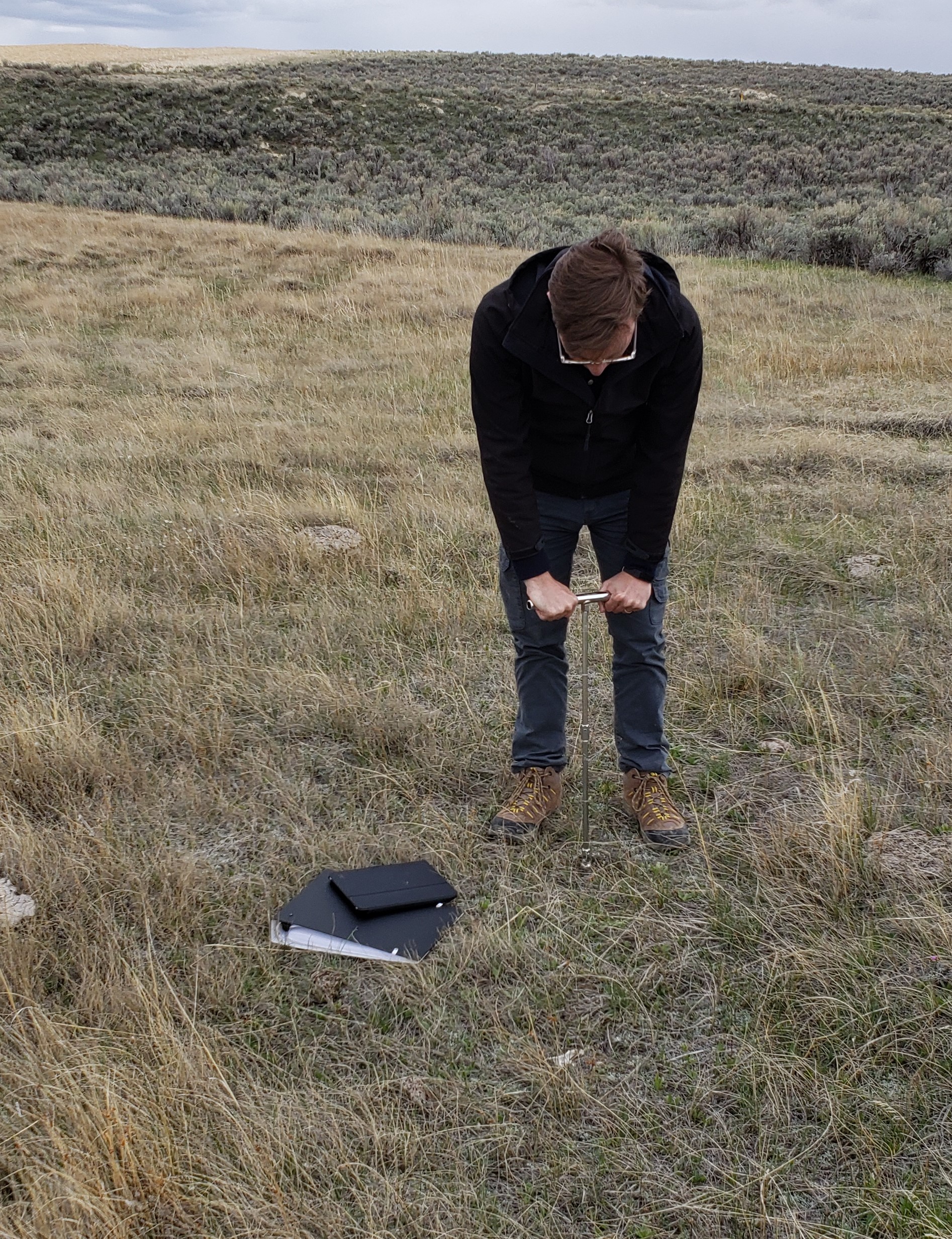
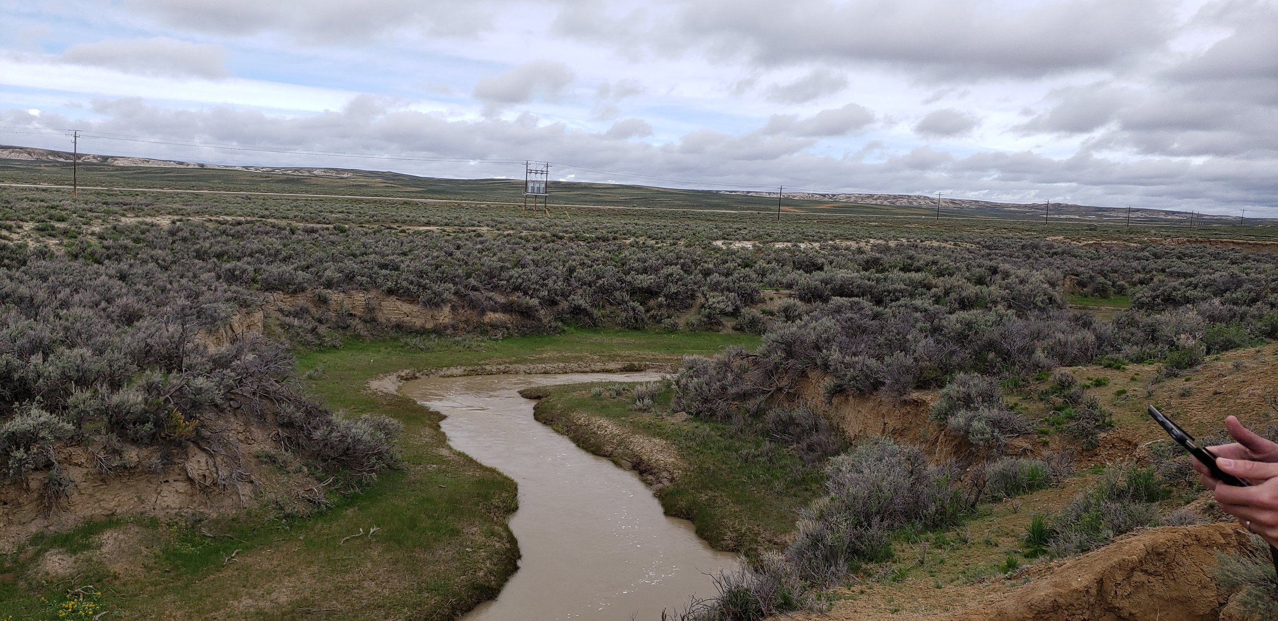
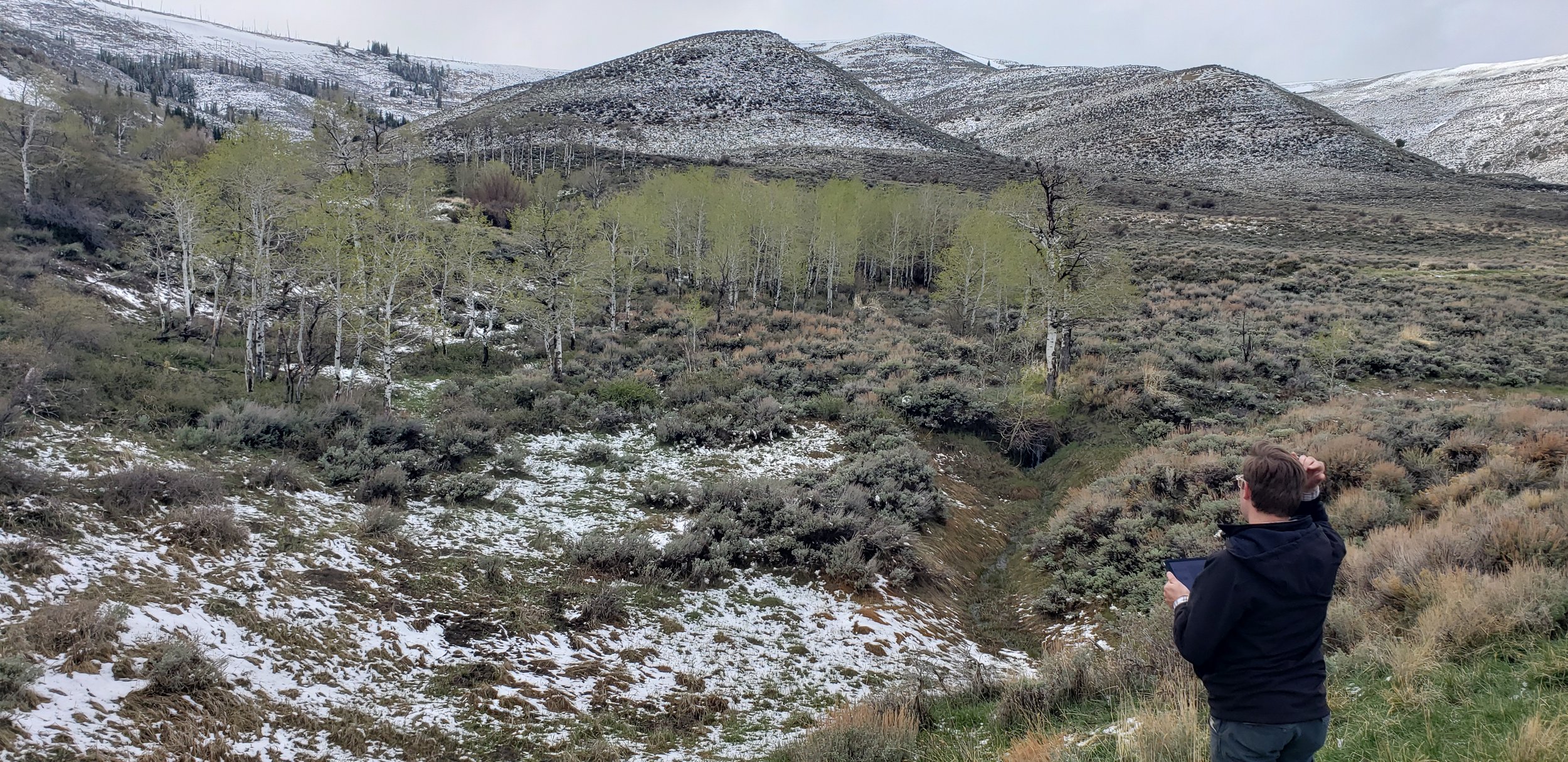
Western Field Work Continues
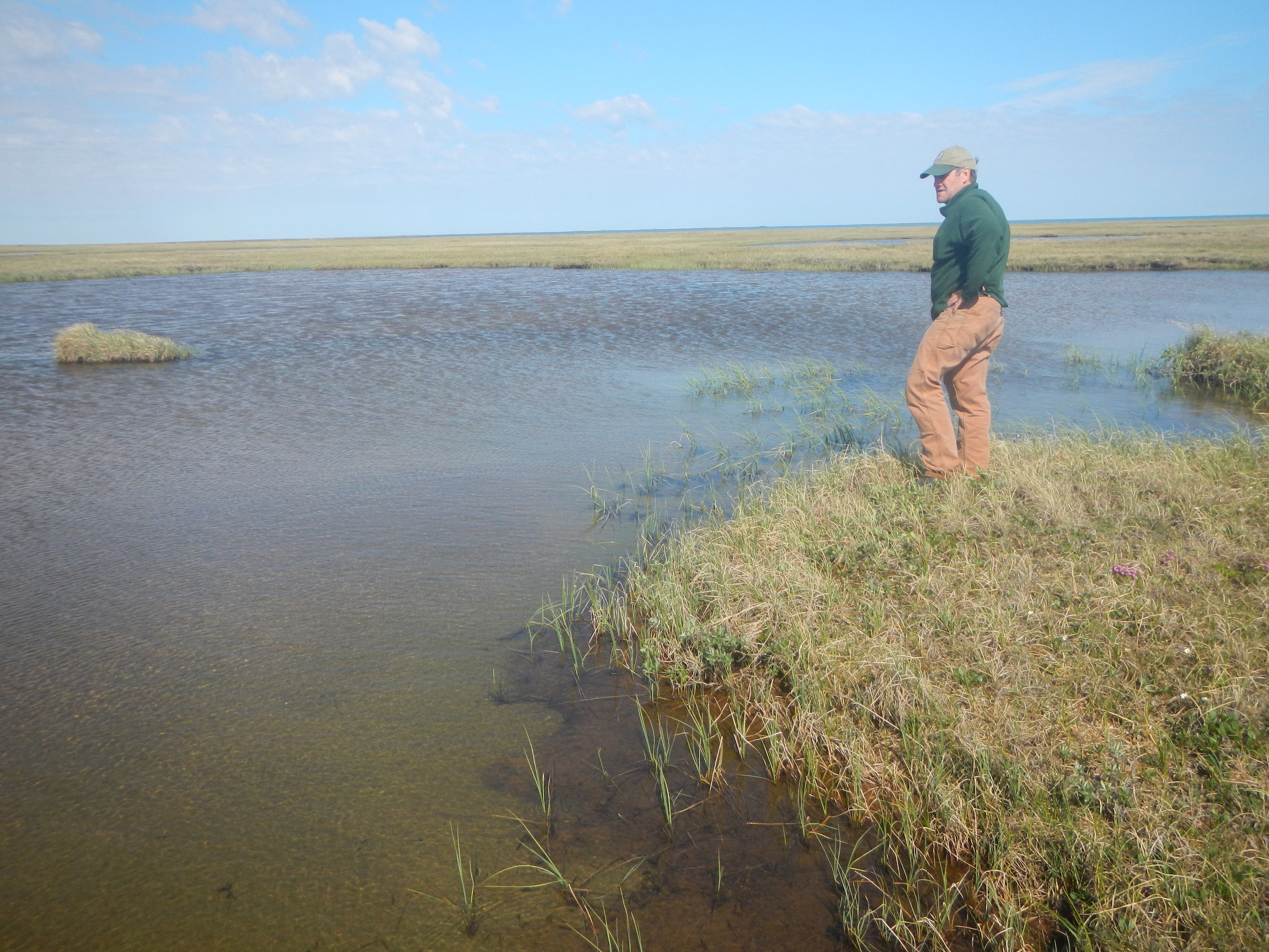
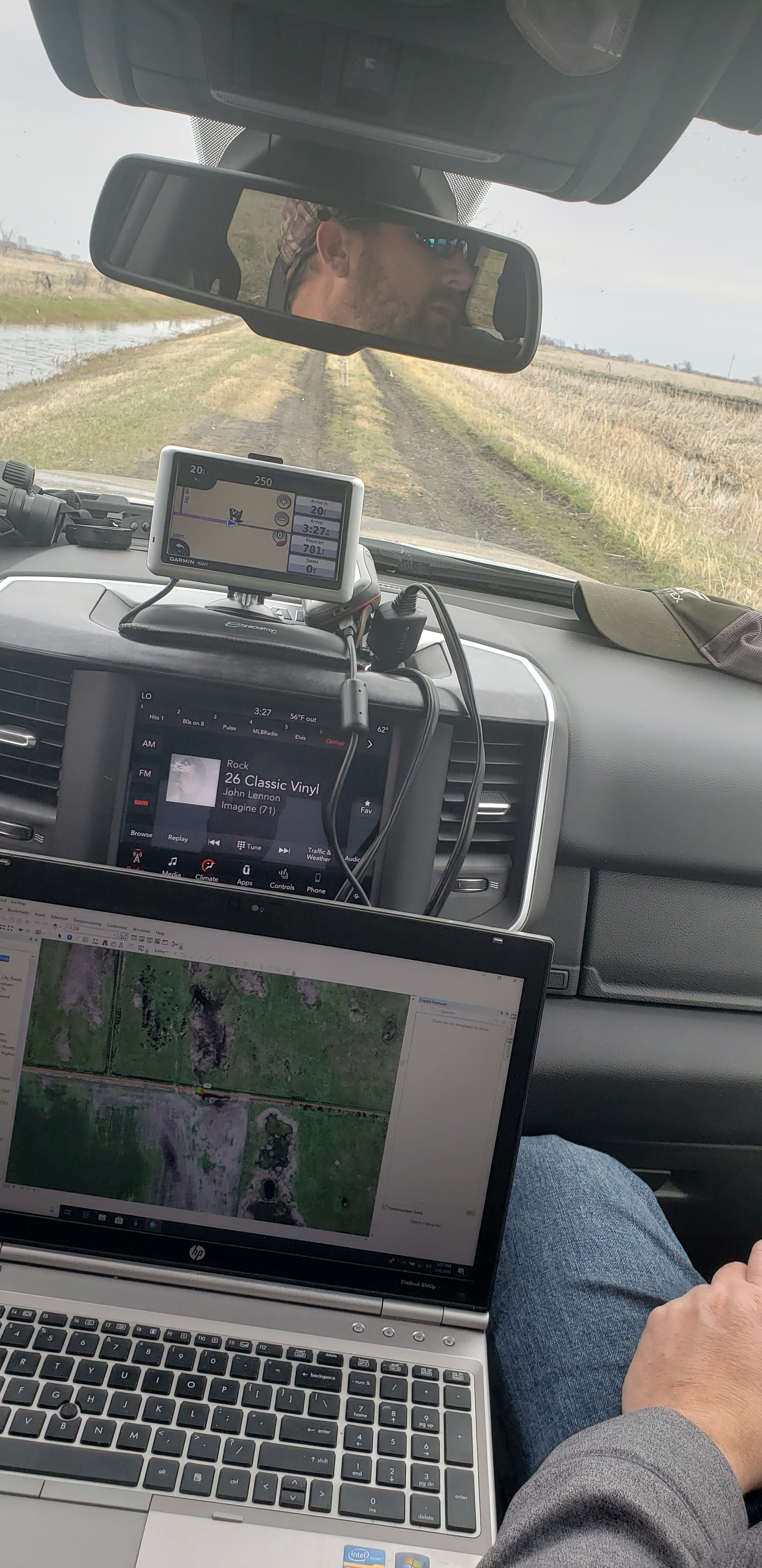
GSS staff members Peter McColl, Kevin Stark, and Eric Lindquist visited BLM lands in Wyoming during mid-May to verify draft wetland and riparian mapping and inform future mapping. They visited nearly 200 predetermined sites and made field observations at additional sites found while travelling between the predetermined field sites. Peter, Kevin, and Eric traveled the majority of central Wyoming from north to south as well as the southern BLM lands along the Colorado border. The team first moved from Casper to Lander. Then they worked through Thermopolis on to Cody before heading south to Rawlins and Rocksprings, finally departing from Salt Lake City, UT. The group was also joined in the field by senior staff from the BLM for both project discussion and wetland and riparian verification.
The team verified and confirmed preliminary mapping done by GSS and worked to learn more about the newly created LLWW key for inland wetlands of the Western U.S. This information will be processed, and mapping will be adjusted for project completion.Additionally, new sites were visited to prepare for wetlands mapping in new areas. This work is being completed as part of a larger project that will map portions of eight states (see “New Projects”). With the completion of this field trip to Wyoming and a previous trip to New Mexico, staff have completed fieldwork in two of the eight states. June will take project managers to Idaho and July will have staff members doing work in Alaska. Future field trips will include Utah and California/Nevada.


Minnesota NWI Update Completed
Recently, the “Bob Lamb Outdoors” website shared this story about the Minnesota DNR’s completion of their 10-year project to update the state’s National Wetland Inventory database. GSS staff and students completed the updates for the southern and northwest portions of Minnesota. The new wetland map data are available through an interactive mapping application on the DNR’s website (see example below). Congratulations to our partners at the DNR for wrapping up this ambitious endeavor!

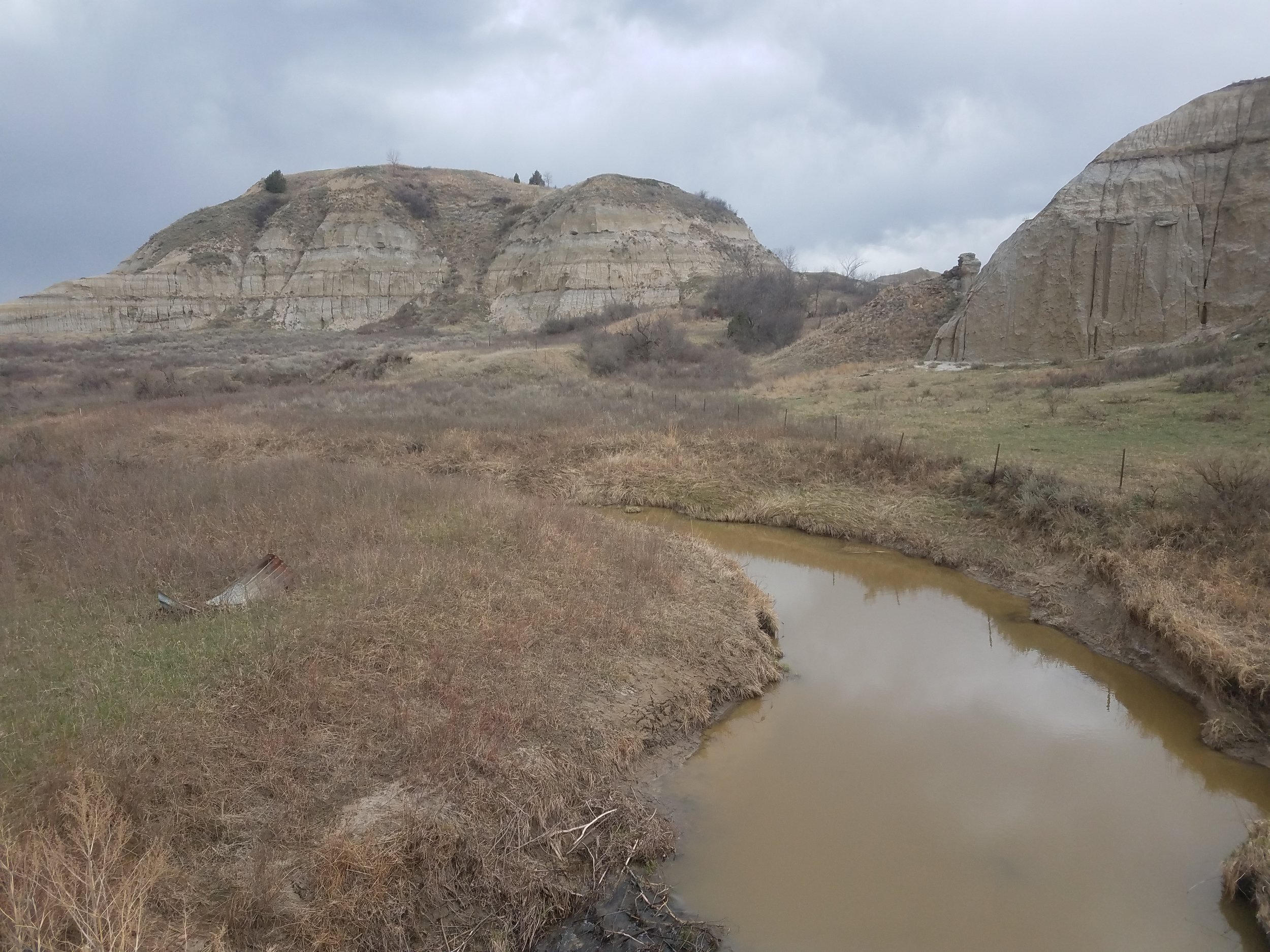
One More Round of New Mexico Field Work
From May 13 through 17, GSS staff members Andy Robertson, John Anderson, and Zack Ansell conducted fieldwork as part of a National Wetlands Inventory (NWI) update, consisting of two watersheds in Estancia and San Juan areas of New Mexico. GSS staff met with professionals from the New Mexico Environment Department and US Fish and Wildlife Service to identify different types of wetlands and examine aerial photo signatures to ensure consistent wetland mapping delineations. The main focus of the trip was to look at as many different wetland signatures in the San Juan and Estancia watersheds to assist staff in correctly matching signatures with water regimes.
The team started off in Grants, New Mexico for day 1 of the trip, reviewing pre-mapping sites in the San Juan Watershed, and headed north to Farmington. From Farmington, the team worked east and south across the study area, making it back to Santa Fe to start on the Estancia watershed. The first day in the Estancia area was spent traveling southwest towards Albuquerque. On Thursday, the team worked south from Santa Fe and headed for Capitan, the home of Smokey the Bear. After spending the night in Capitan, GSS staff worked back to the northwest to Albuquerque.


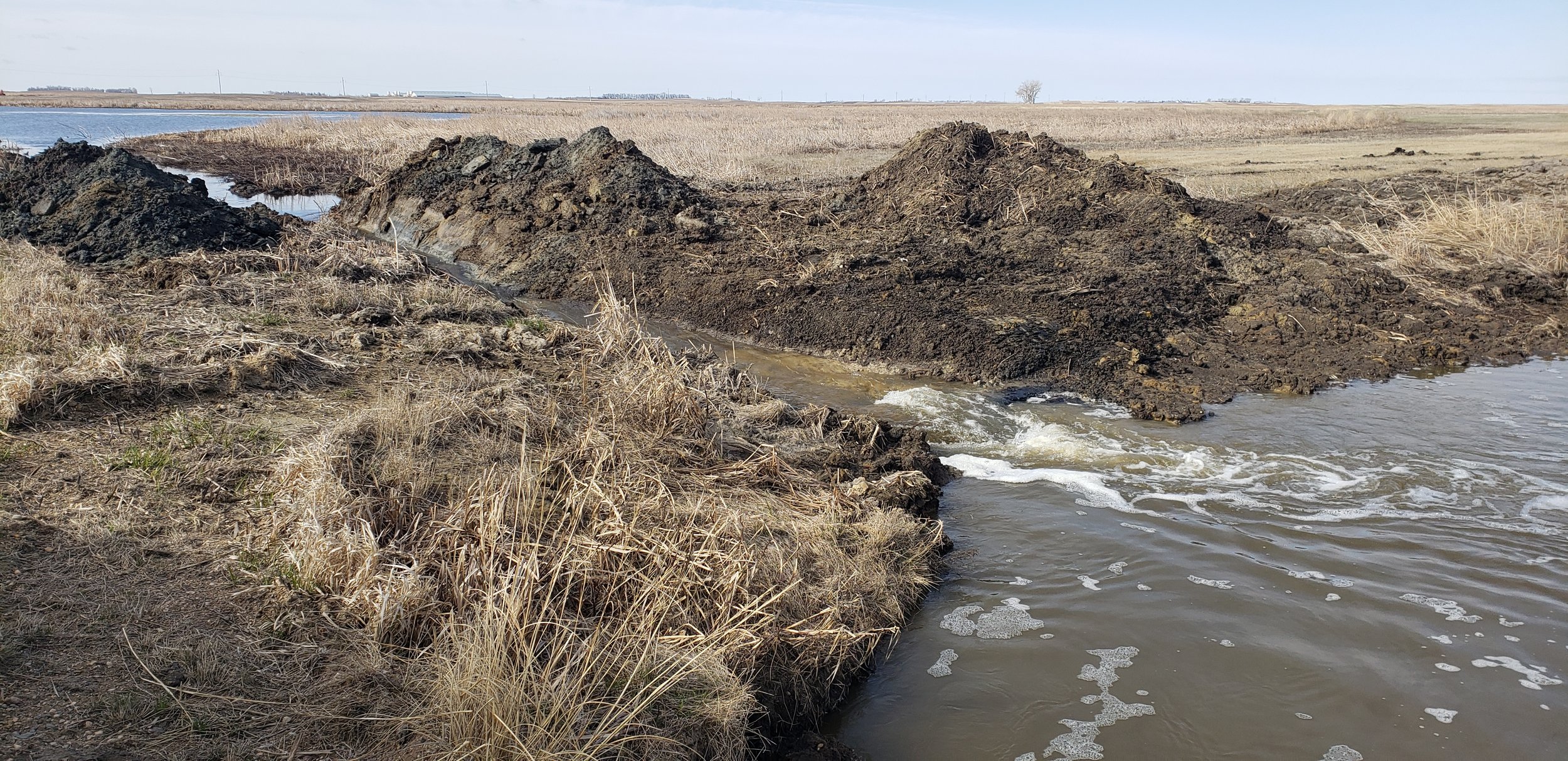
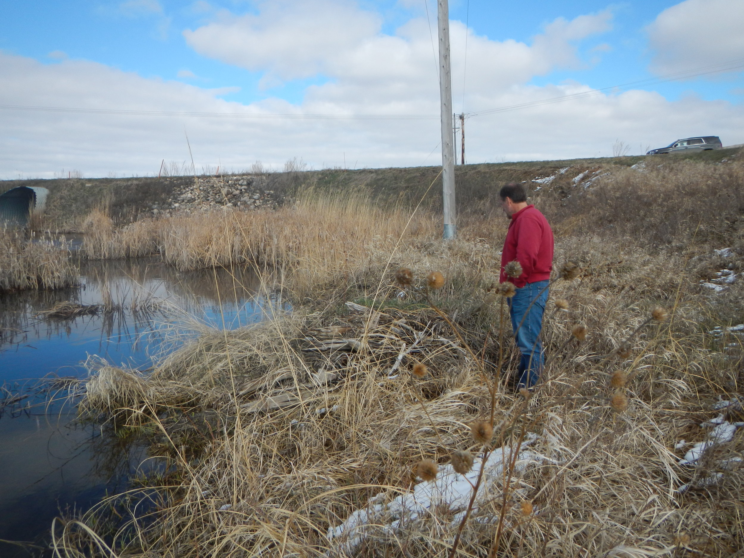
Staff Travel to North Dakota
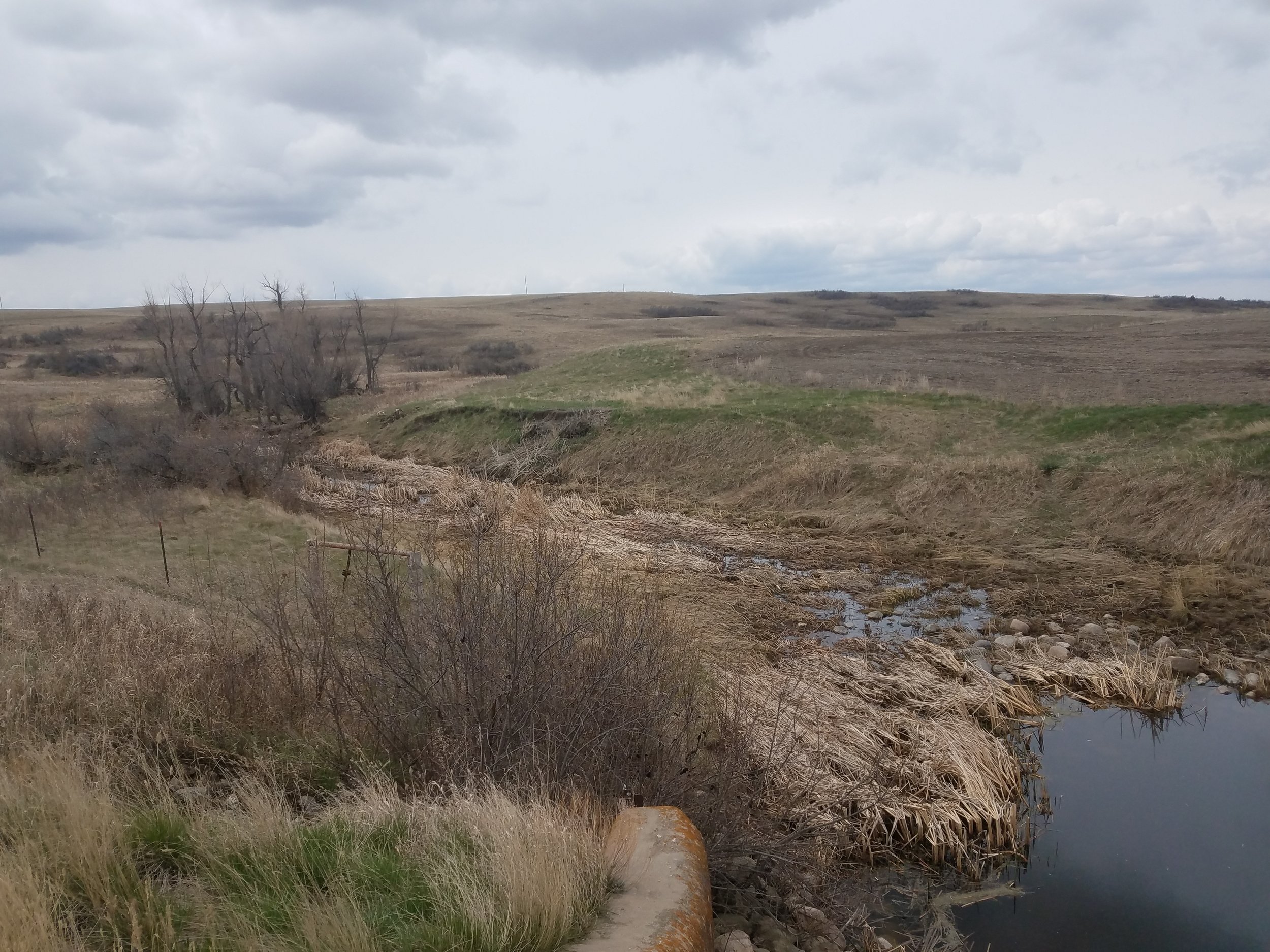
From May 1 through May 7, GSS staff members Kevin Stark, Nick Lemcke, and Darren Omoth conducted fieldwork as part of the National Wetlands Inventory (NWI) update, consisting of seven counties in the northeast corner of North Dakota. GSS staff met with U.S. Fish and Wildlife Service (USFWS) officials to identify different types of wetlands, discuss wetland conservation techniques, and examine aerial photo signatures to ensure consistent wetland mapping delineations. Much of the focus was on the prairie pothole region, as the study area comprises the central flyway for bird migration and is critical for waterfowl habitat and waterfowl reproduction. Another important focus was on the federal easement program, which is vital to protect wetlands, as the elimination of non-protected wetlands continues due to heavy draining and ditching.
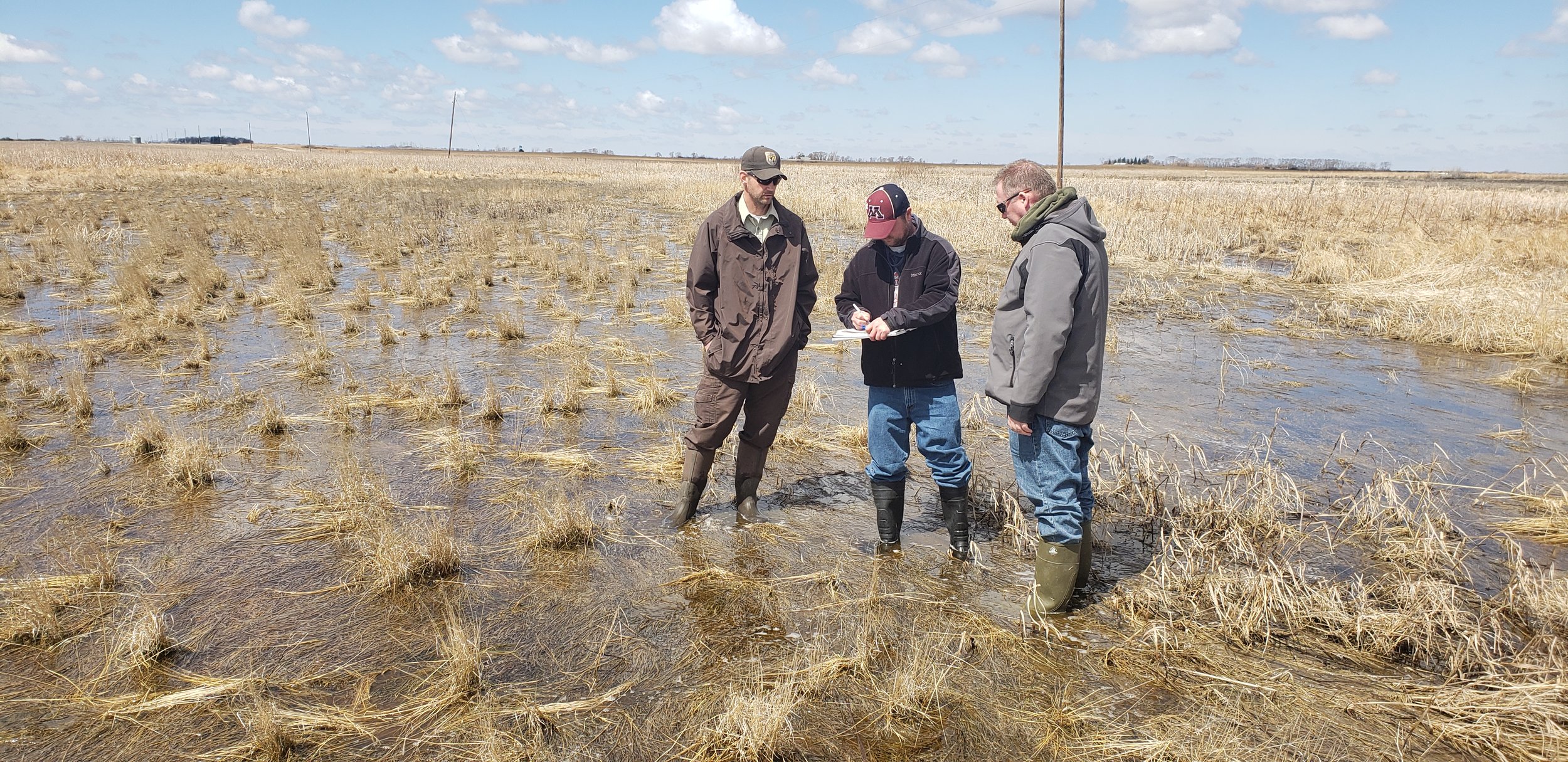
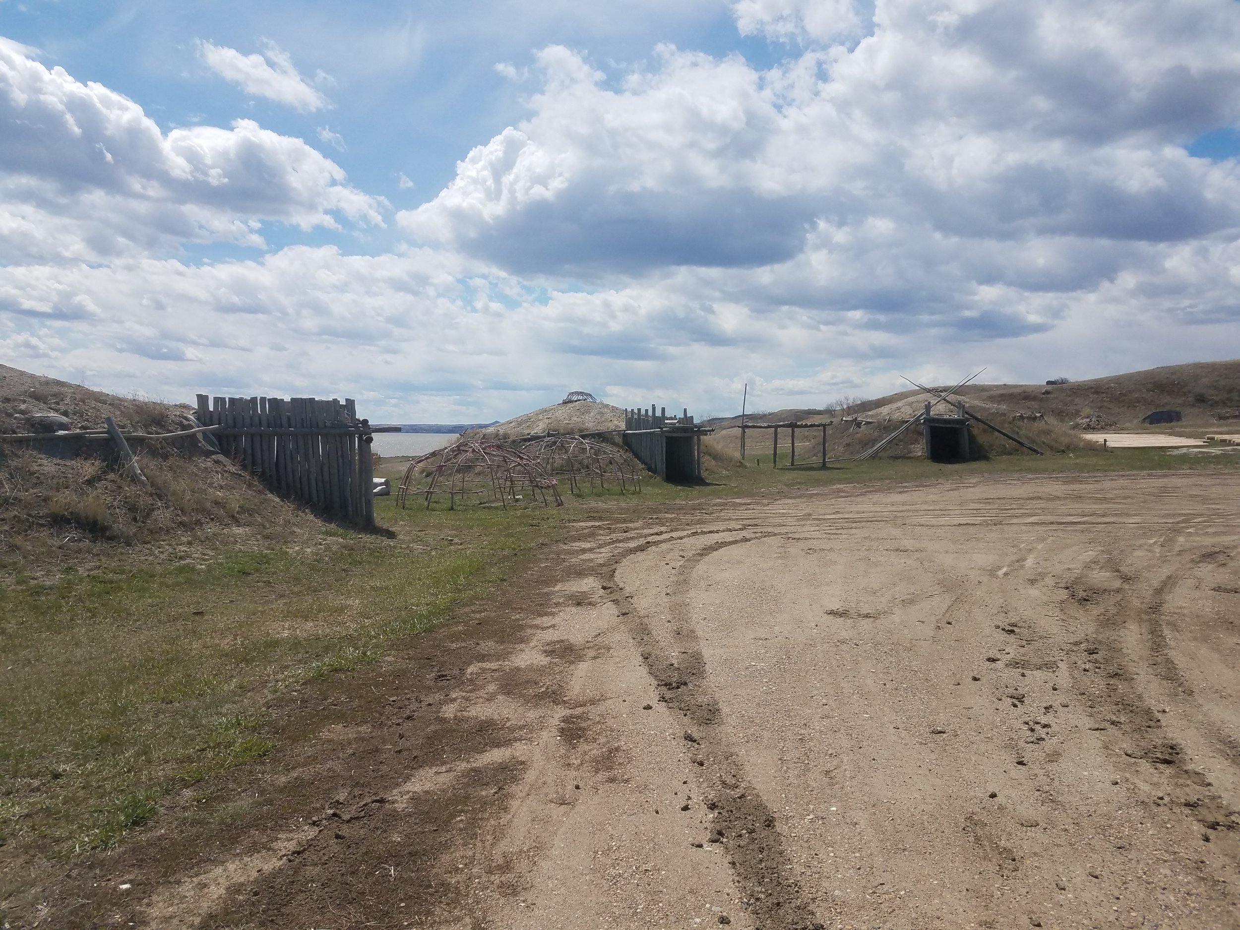
That same week, staff members Andy Robertson, Kevin Benck, and Al Rabine traveled to the Fort Berthold Reservation in northwestern North Dakota. GSS is working with the Three Affiliated Tribes (TAT) on wetland mapping, a wetland program plan, and a wetland functional assessment for reservation lands.
Robertson speaks at National Conference

On Thursday, May 9, GSS Director Andy Robertson gave a presentation at the National Mitigation & Ecosystem Banking Conference in Minneapolis. The 500 attendees included regulators, providers, and users of mitigation and banking services. Andy’s presentation, titled “Potential Consequences of a Narrower WOTUS Definition”, was based on a recent GSS project analyzing proposed changes to the federal Waters of the United States (WOTUS) rule that would remove protections for isolated wetlands across the country. To learn more about our analysis and the impacts of the proposed changes, check out this story map created by GSS Analyst Roger Meyer.
Congratulations, graduates!
It’s graduation weekend here at SMUMN, and some of our student interns are celebrating their accomplishments! While most of our graduating students will be moving on to the next phase in their careers, a few will be staying with us as they continue into graduate programs at SMUMN. Either way, we wish all the best to these graduating interns:
Zack Ansell Angela Soto
Toan Tran Katherine Ethen
Nick Shelquist Shauna Frahm
Maggie Vetch James Loken
