

NEWS
BLM project continues with Idaho fieldwork
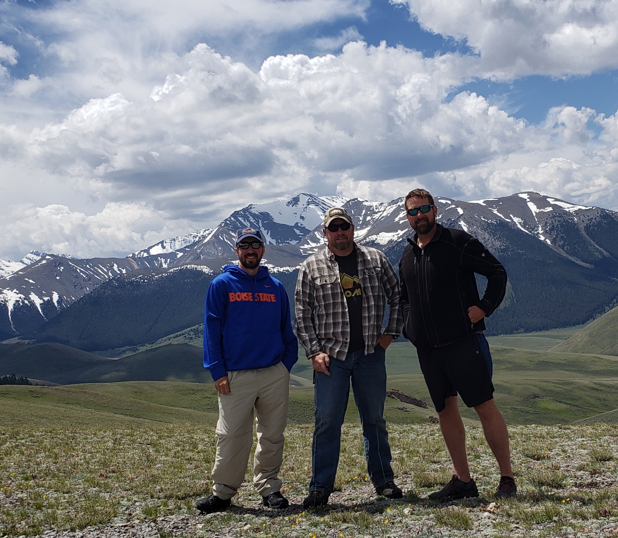
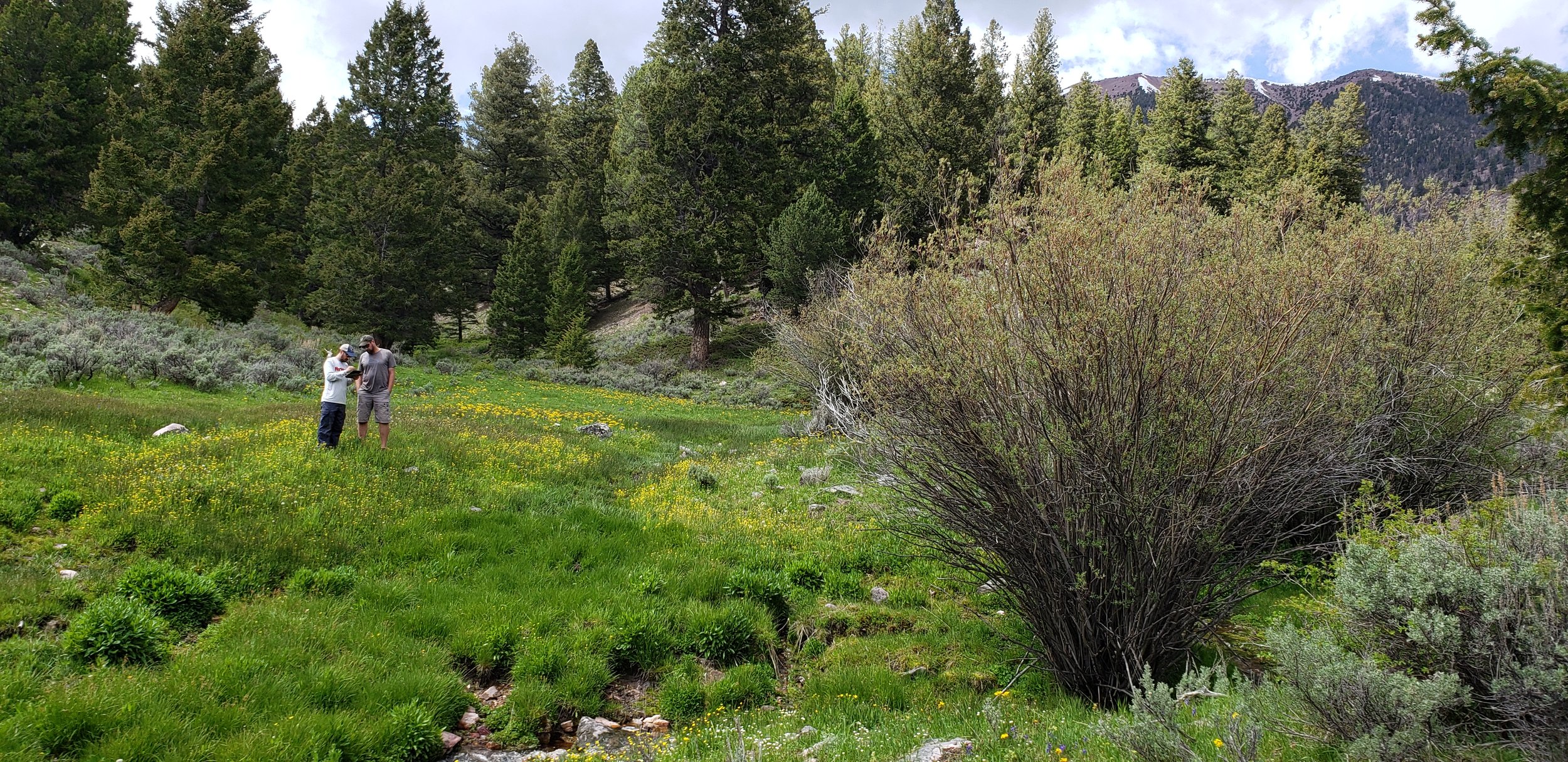
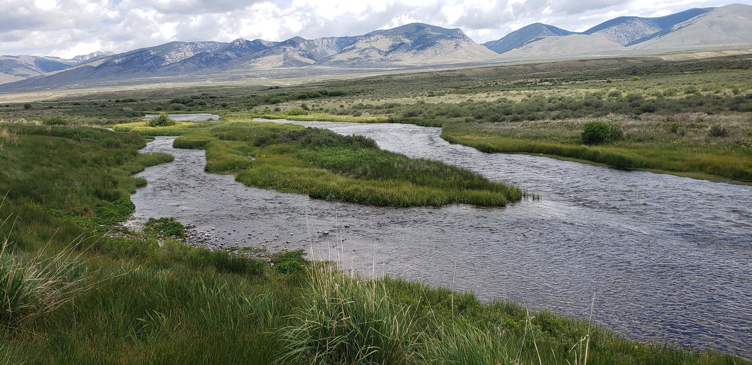
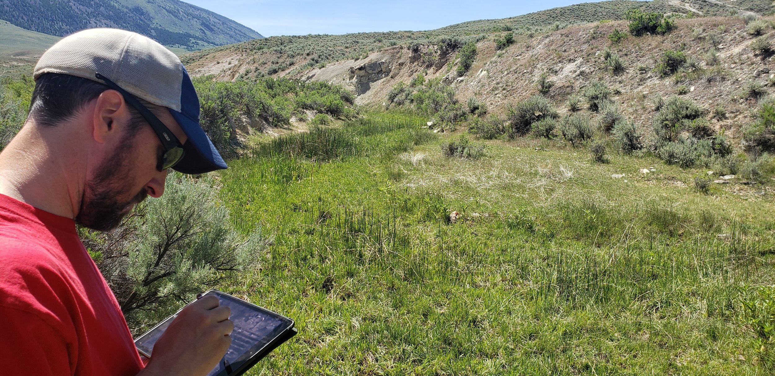
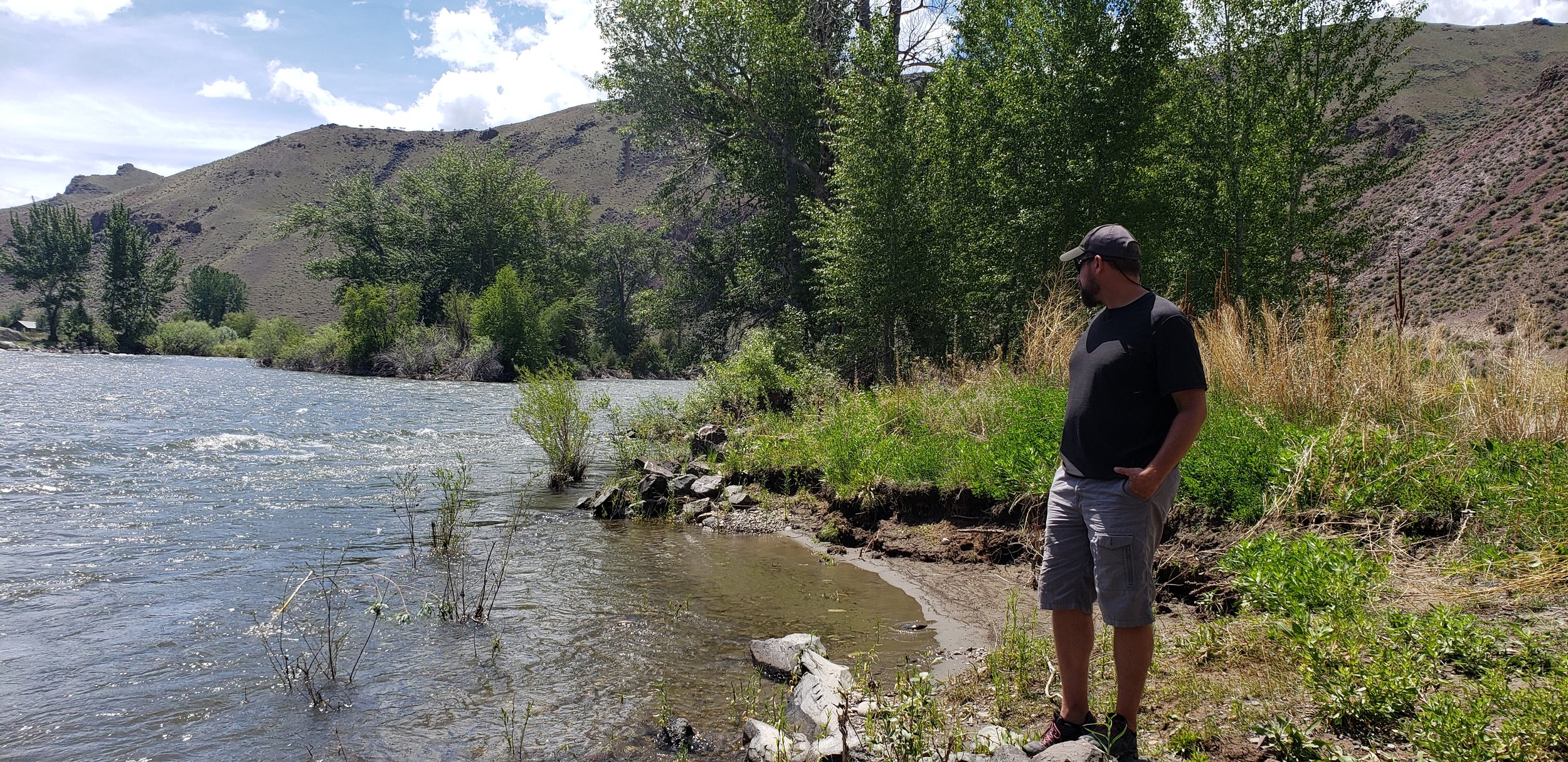
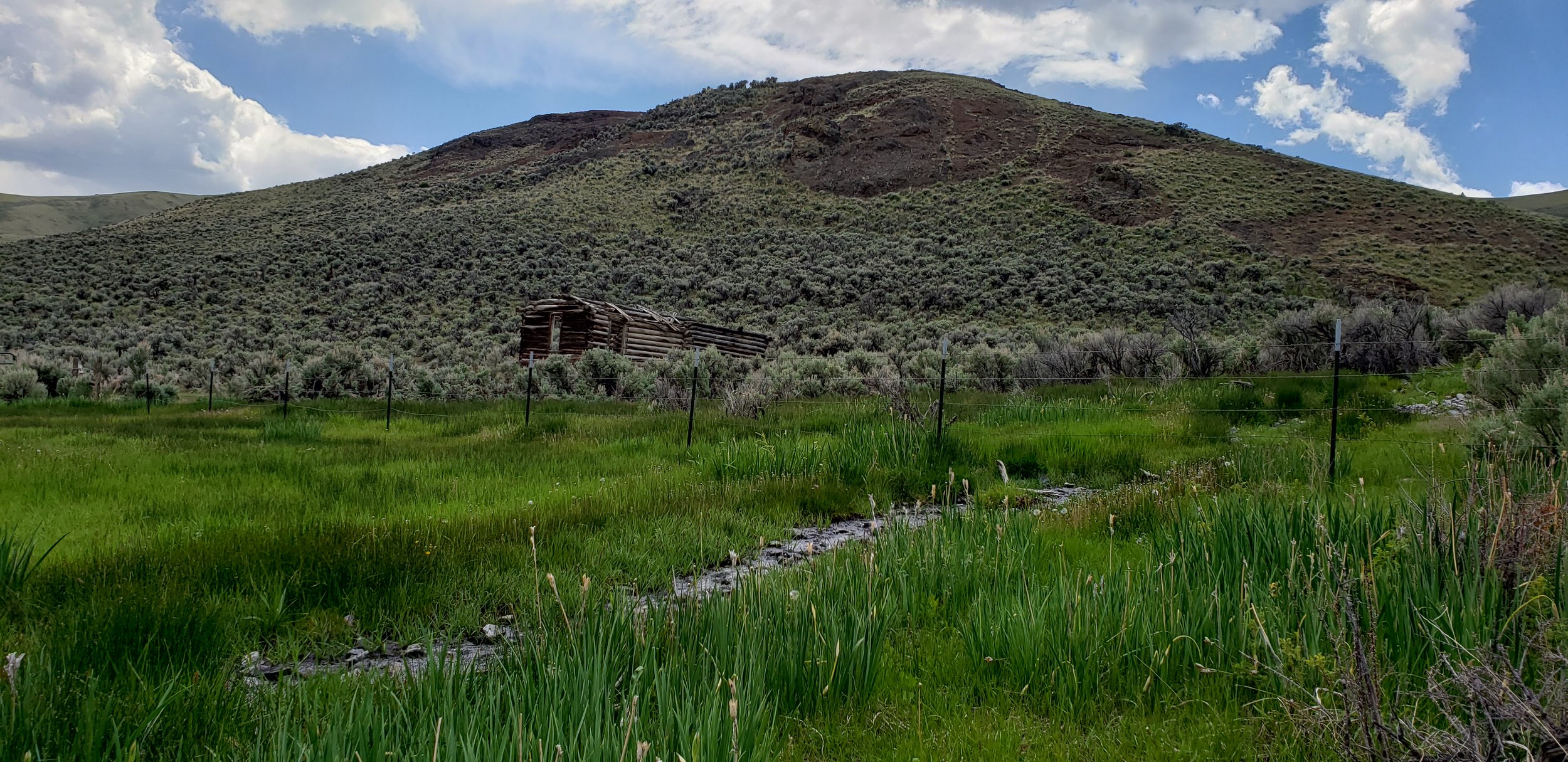
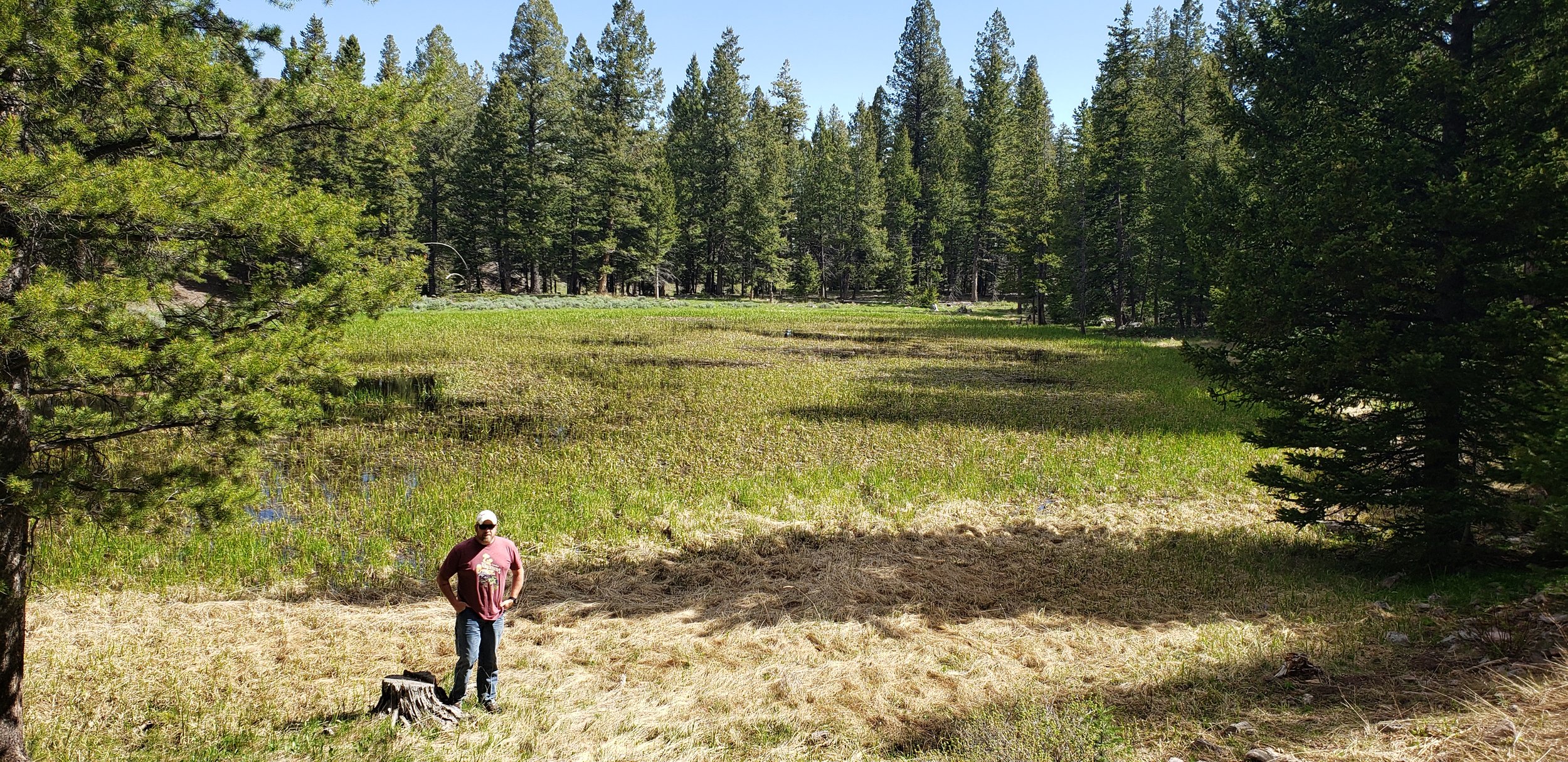
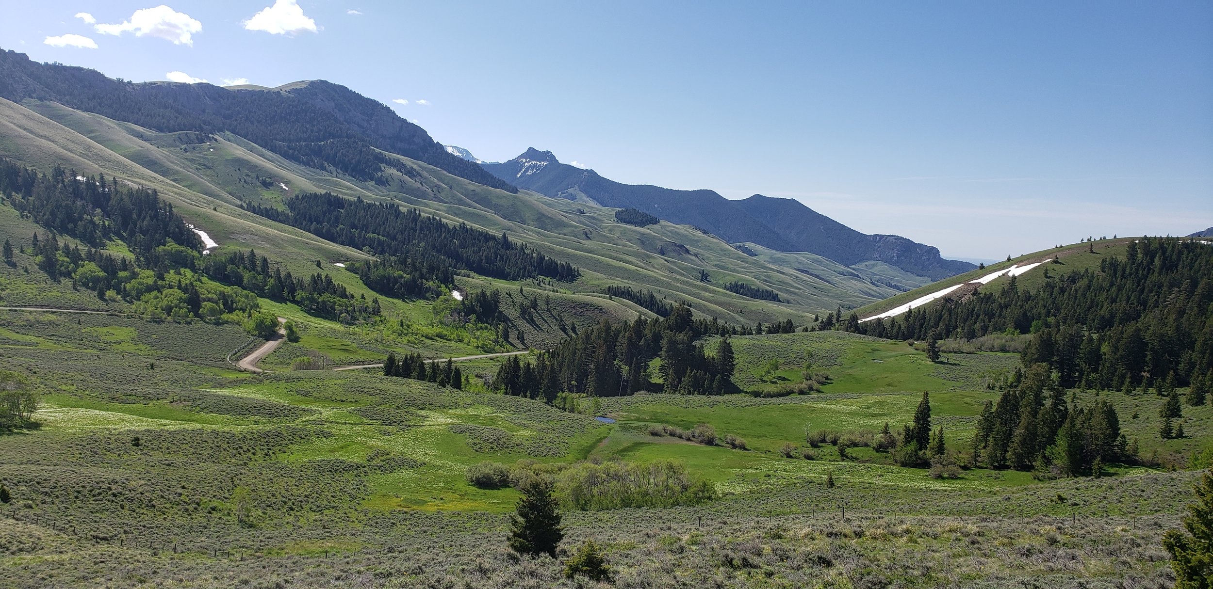
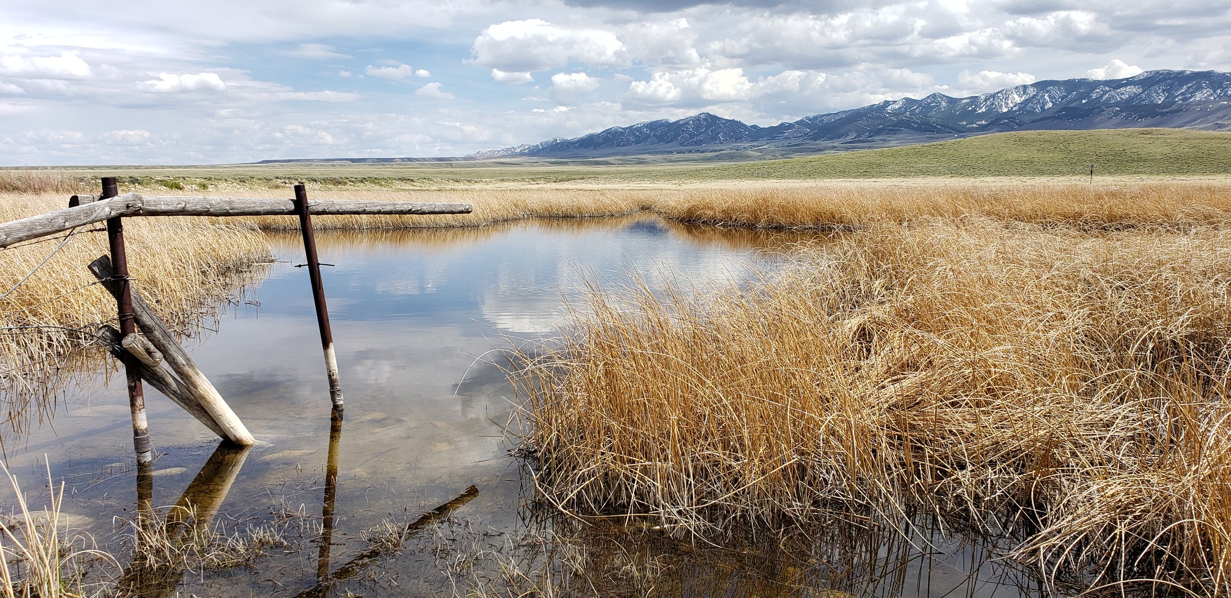
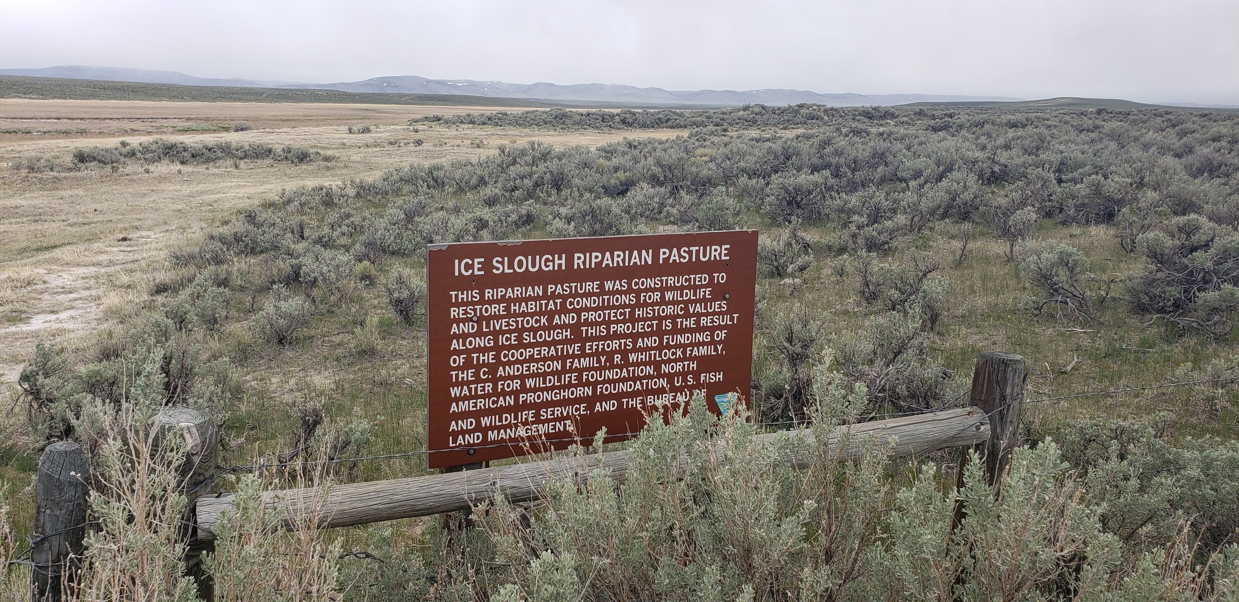
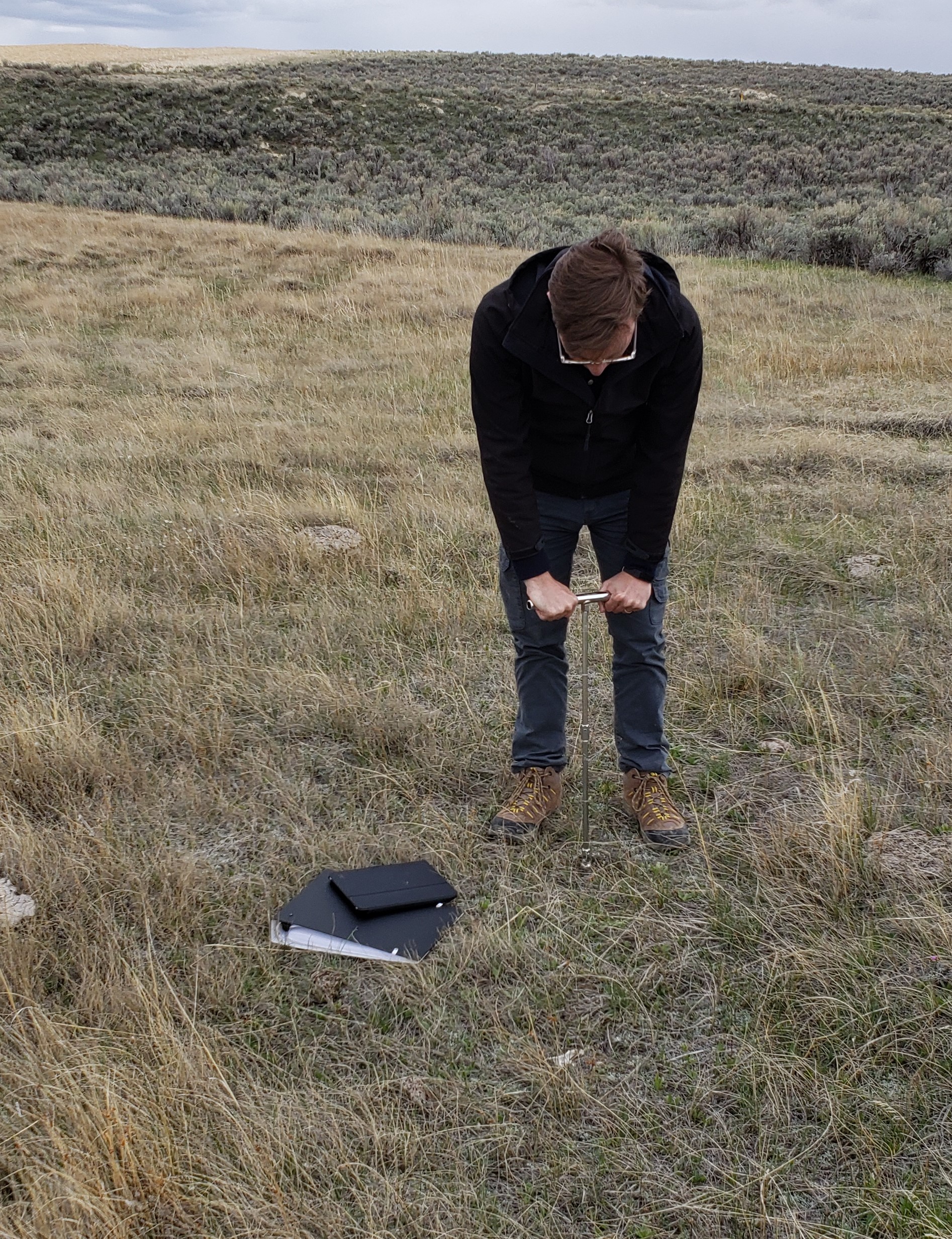
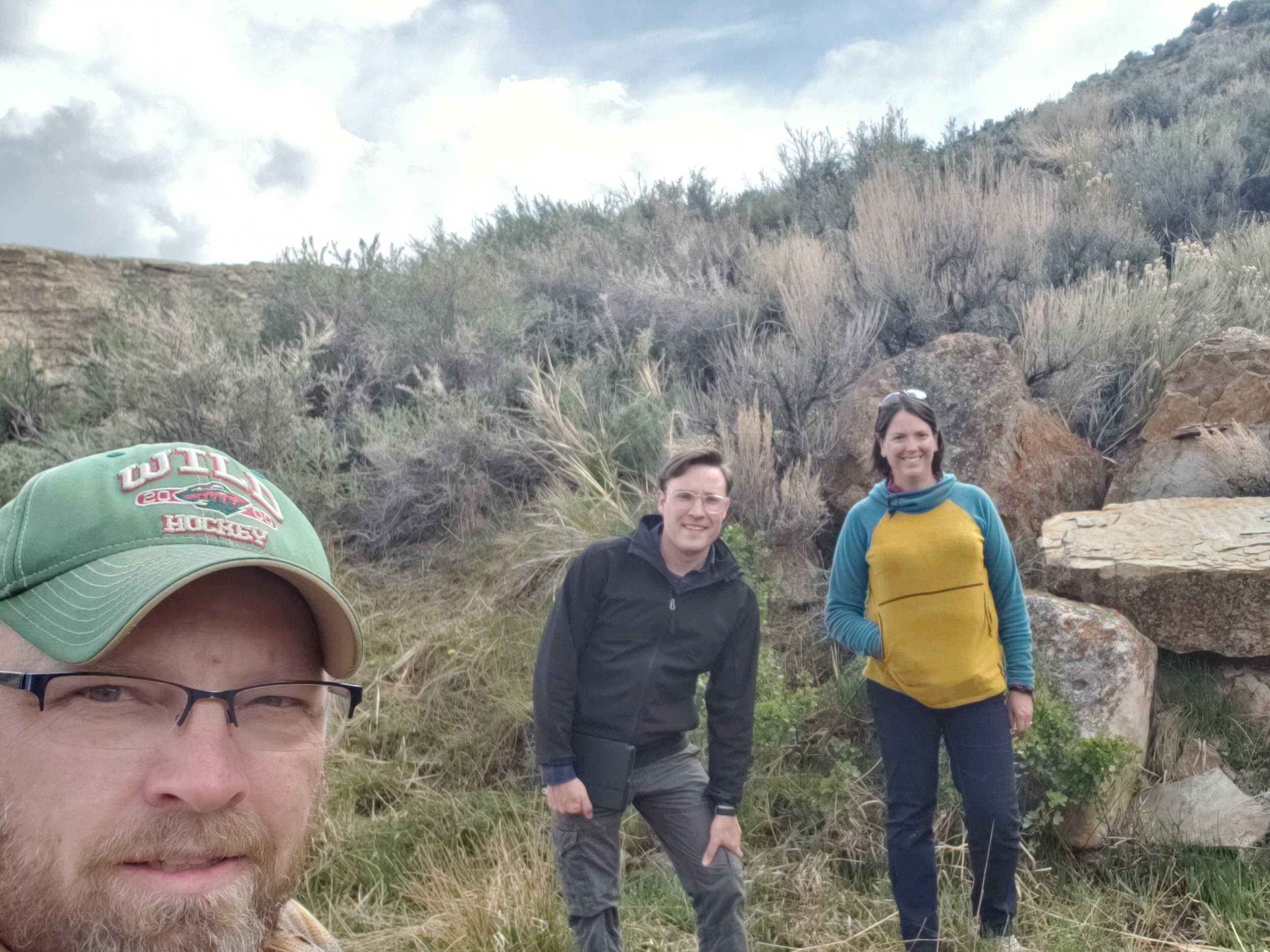
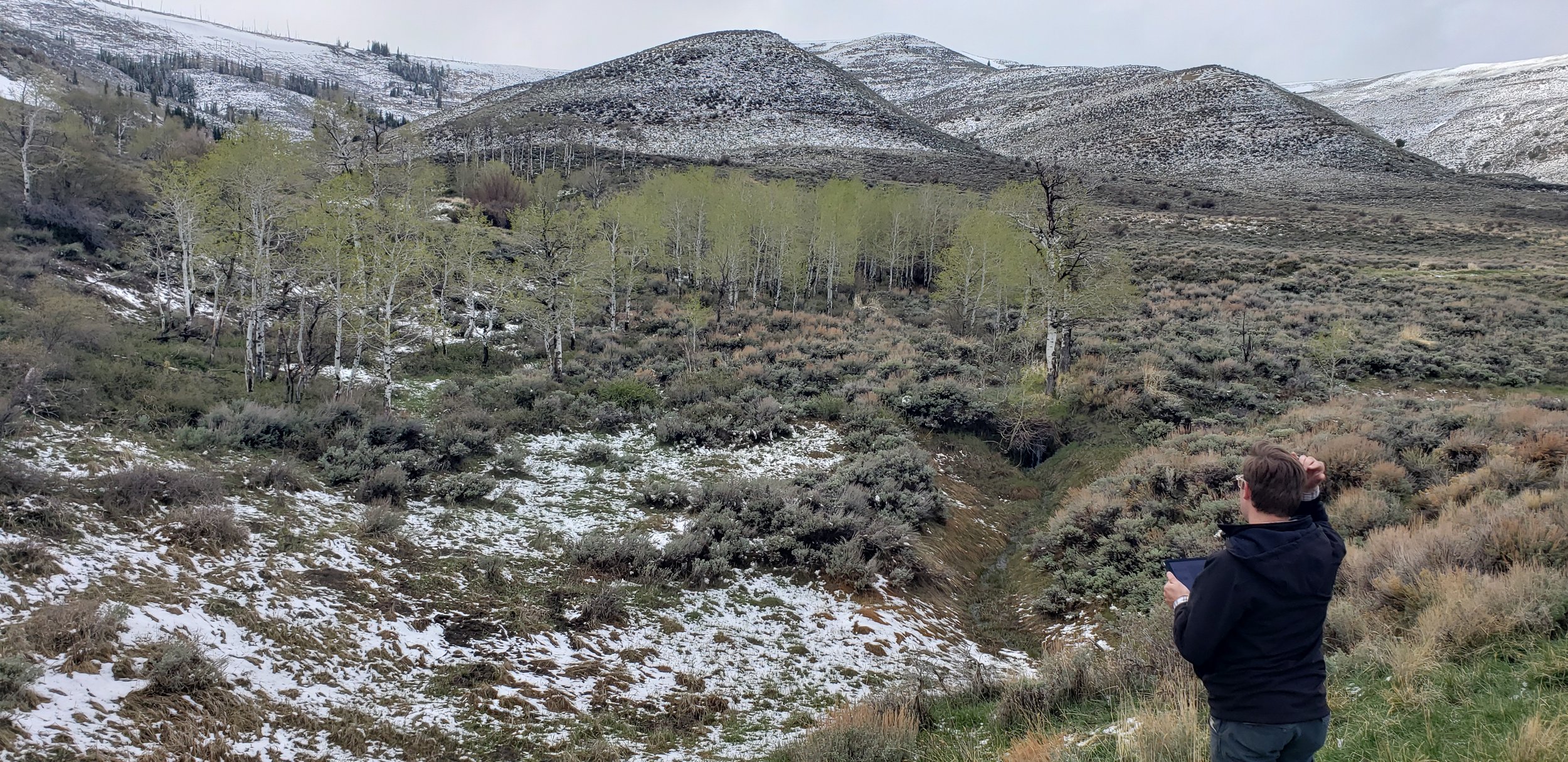
In mid-June, GSS staff members Kevin Stark, Andy Nadeau, and Eric Lindquist spent 10 days in northeastern Idaho doing pre-mapping fieldwork for the Bureau of Land Management Wetland and Riparian Area Mapping and Assessment Project.
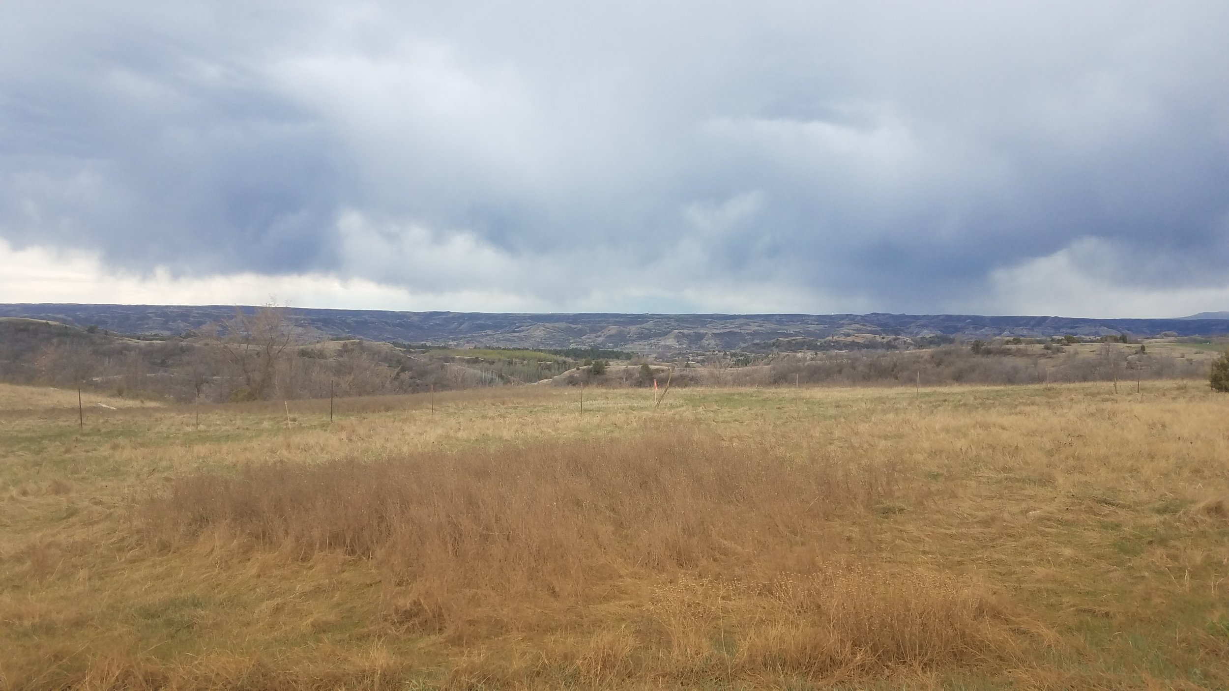
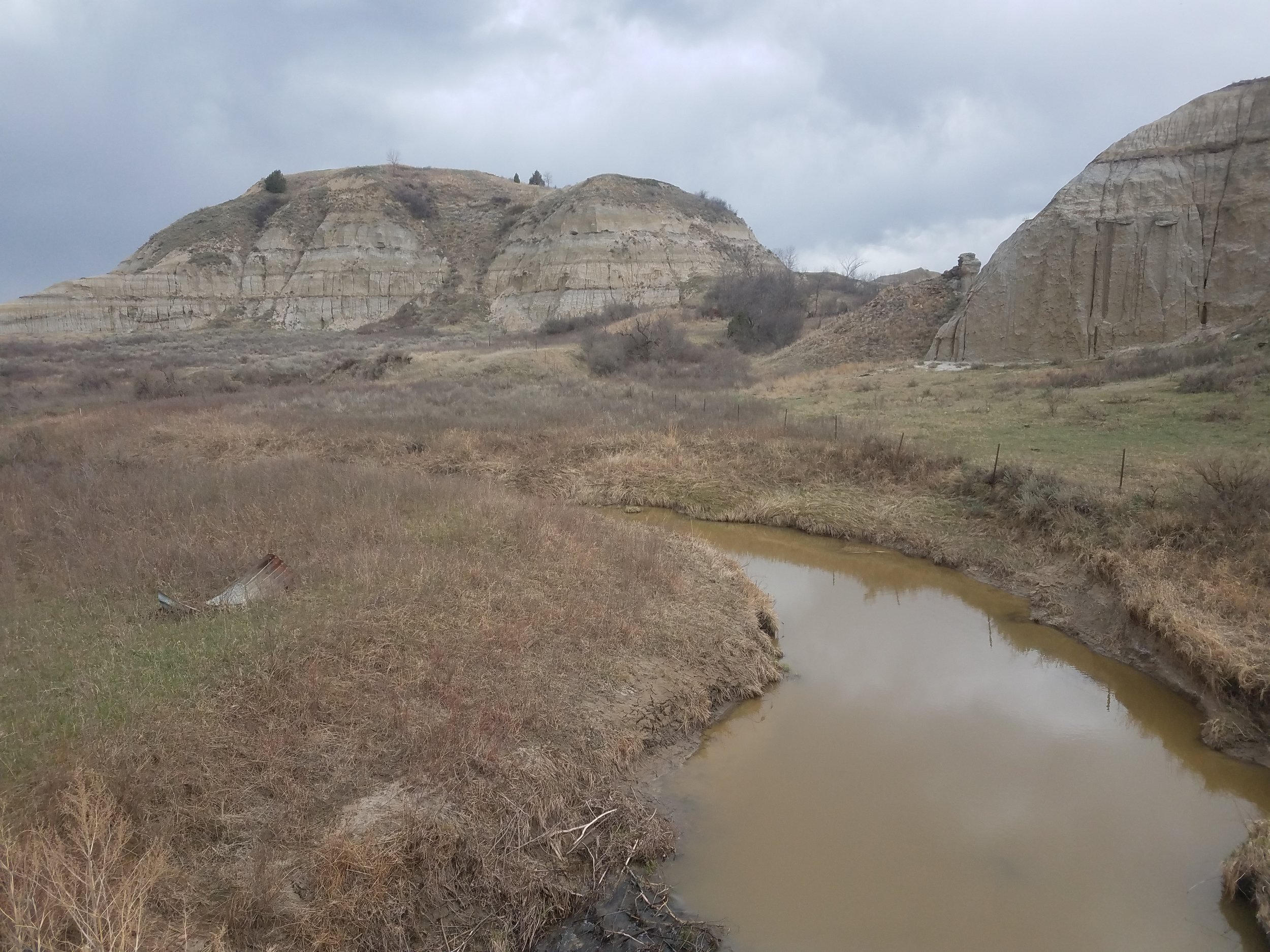
The team traveled the three major valleys and mountain regions of the study area located along the Montana border and down to the Snake River plain. This part of Idaho includes parts of the Bitterroot Mountains, Salmon River Mountains, Lemhi Valley, and the Lost River Valley and more. Staff visited the unique landscapes in order to ‘ground truth’ upcoming mapping in the area. They also met with members of the Bureau of Land Management (BLM) while in the field to enhance understanding of the area. Dozens of different wetland sites were visited, making it a priority to document the present plant species, how water was moving through and sitting in the wetland landscapes, as well as the types of human-altered water uses in the area. The geography of the study area has influenced much of its use, especially water and land use, and with ranching being the dominant economic activity, the limited and highly modified water supplies of the area must be shared by cattle and native wildlife (e.g., elk, deer, pronghorn).
Once mapping and classification of these semi-arid western wetlands is complete, a wetland functional assessment will be performed to determine what services the wetlands can provide to the surrounding ecosystem.


Western Field Work Continues
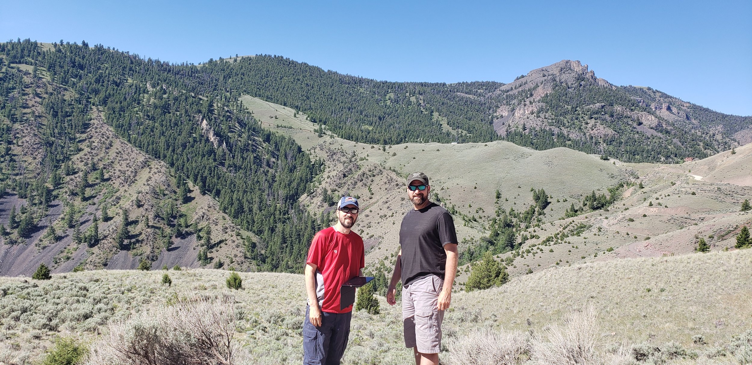
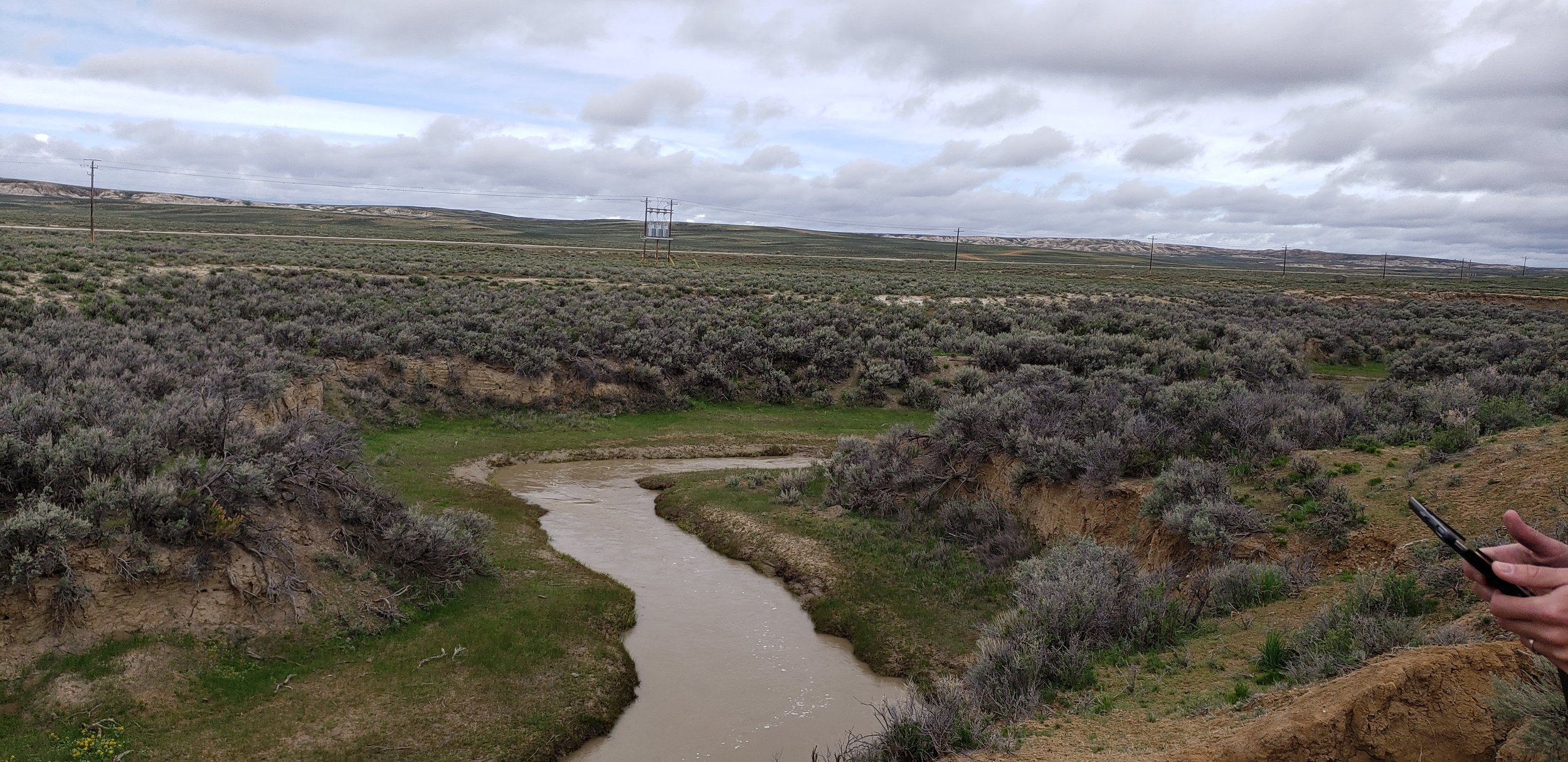
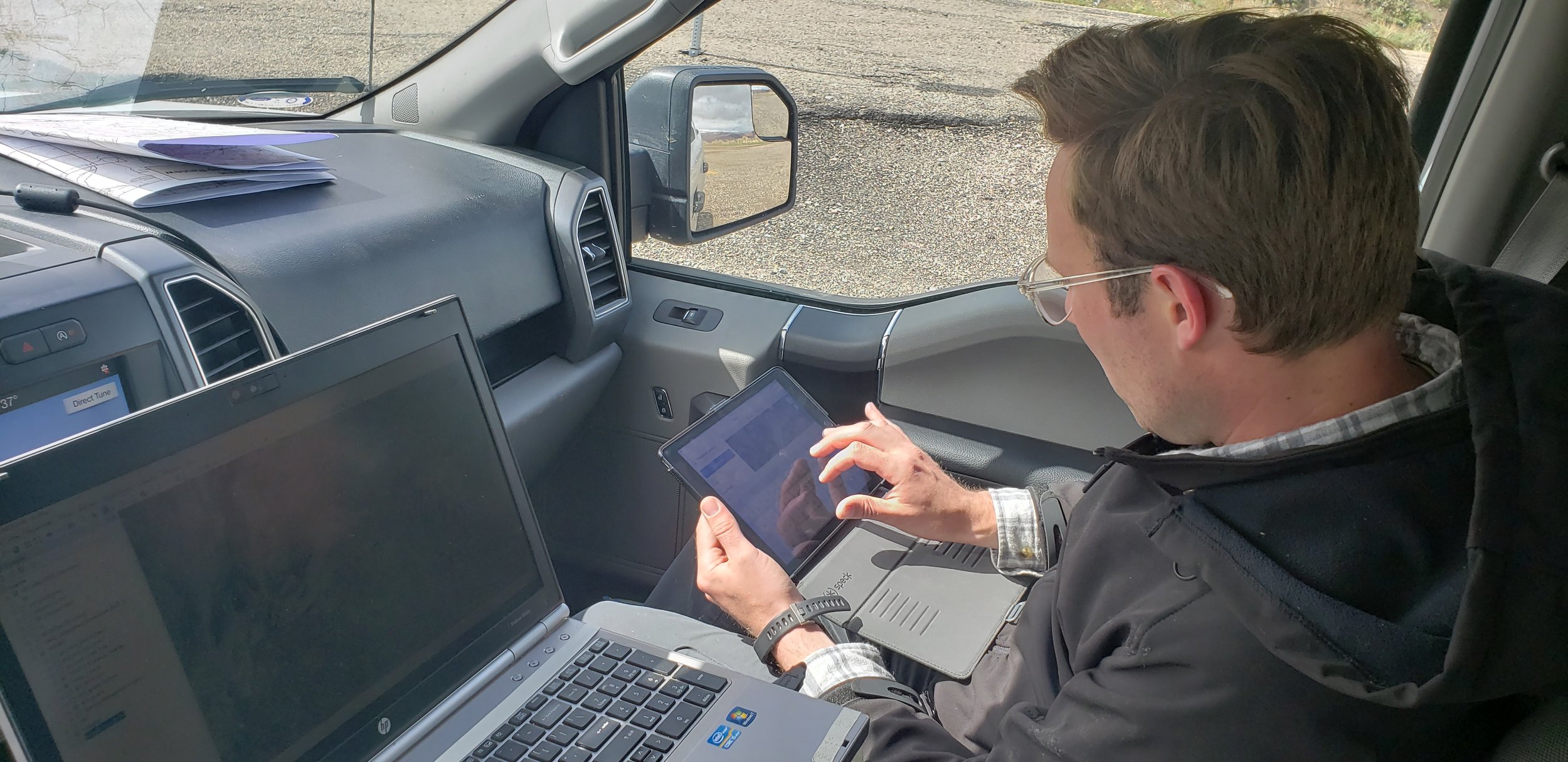
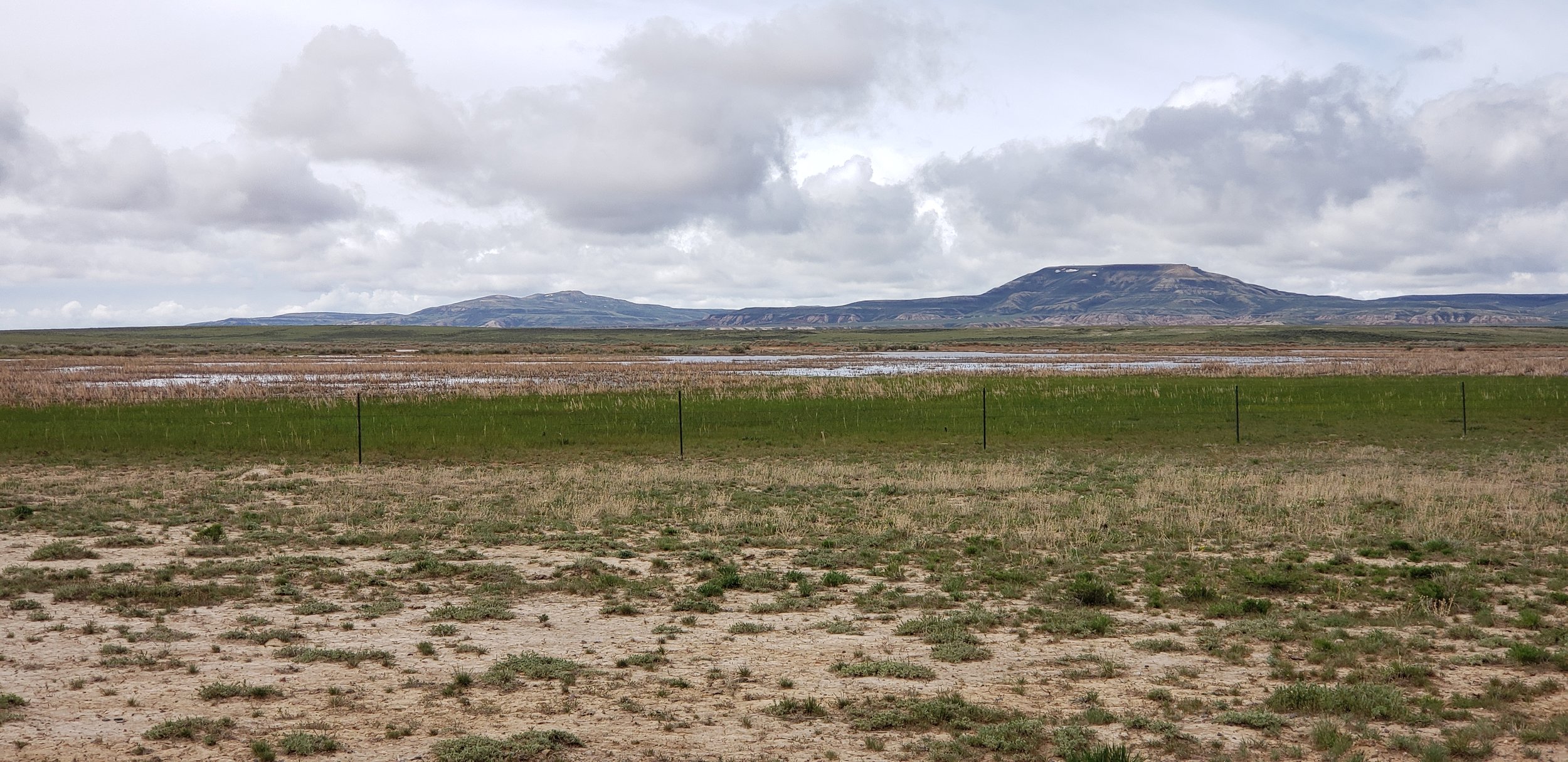
GSS staff members Peter McColl, Kevin Stark, and Eric Lindquist visited BLM lands in Wyoming during mid-May to verify draft wetland and riparian mapping and inform future mapping. They visited nearly 200 predetermined sites and made field observations at additional sites found while travelling between the predetermined field sites. Peter, Kevin, and Eric traveled the majority of central Wyoming from north to south as well as the southern BLM lands along the Colorado border. The team first moved from Casper to Lander. Then they worked through Thermopolis on to Cody before heading south to Rawlins and Rocksprings, finally departing from Salt Lake City, UT. The group was also joined in the field by senior staff from the BLM for both project discussion and wetland and riparian verification.
The team verified and confirmed preliminary mapping done by GSS and worked to learn more about the newly created LLWW key for inland wetlands of the Western U.S. This information will be processed, and mapping will be adjusted for project completion.Additionally, new sites were visited to prepare for wetlands mapping in new areas. This work is being completed as part of a larger project that will map portions of eight states (see “New Projects”). With the completion of this field trip to Wyoming and a previous trip to New Mexico, staff have completed fieldwork in two of the eight states. June will take project managers to Idaho and July will have staff members doing work in Alaska. Future field trips will include Utah and California/Nevada.


Minnesota NWI Update Completed
Recently, the “Bob Lamb Outdoors” website shared this story about the Minnesota DNR’s completion of their 10-year project to update the state’s National Wetland Inventory database. GSS staff and students completed the updates for the southern and northwest portions of Minnesota. The new wetland map data are available through an interactive mapping application on the DNR’s website (see example below). Congratulations to our partners at the DNR for wrapping up this ambitious endeavor!

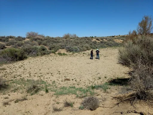
One More Round of New Mexico Field Work
From May 13 through 17, GSS staff members Andy Robertson, John Anderson, and Zack Ansell conducted fieldwork as part of a National Wetlands Inventory (NWI) update, consisting of two watersheds in Estancia and San Juan areas of New Mexico. GSS staff met with professionals from the New Mexico Environment Department and US Fish and Wildlife Service to identify different types of wetlands and examine aerial photo signatures to ensure consistent wetland mapping delineations. The main focus of the trip was to look at as many different wetland signatures in the San Juan and Estancia watersheds to assist staff in correctly matching signatures with water regimes.
The team started off in Grants, New Mexico for day 1 of the trip, reviewing pre-mapping sites in the San Juan Watershed, and headed north to Farmington. From Farmington, the team worked east and south across the study area, making it back to Santa Fe to start on the Estancia watershed. The first day in the Estancia area was spent traveling southwest towards Albuquerque. On Thursday, the team worked south from Santa Fe and headed for Capitan, the home of Smokey the Bear. After spending the night in Capitan, GSS staff worked back to the northwest to Albuquerque.


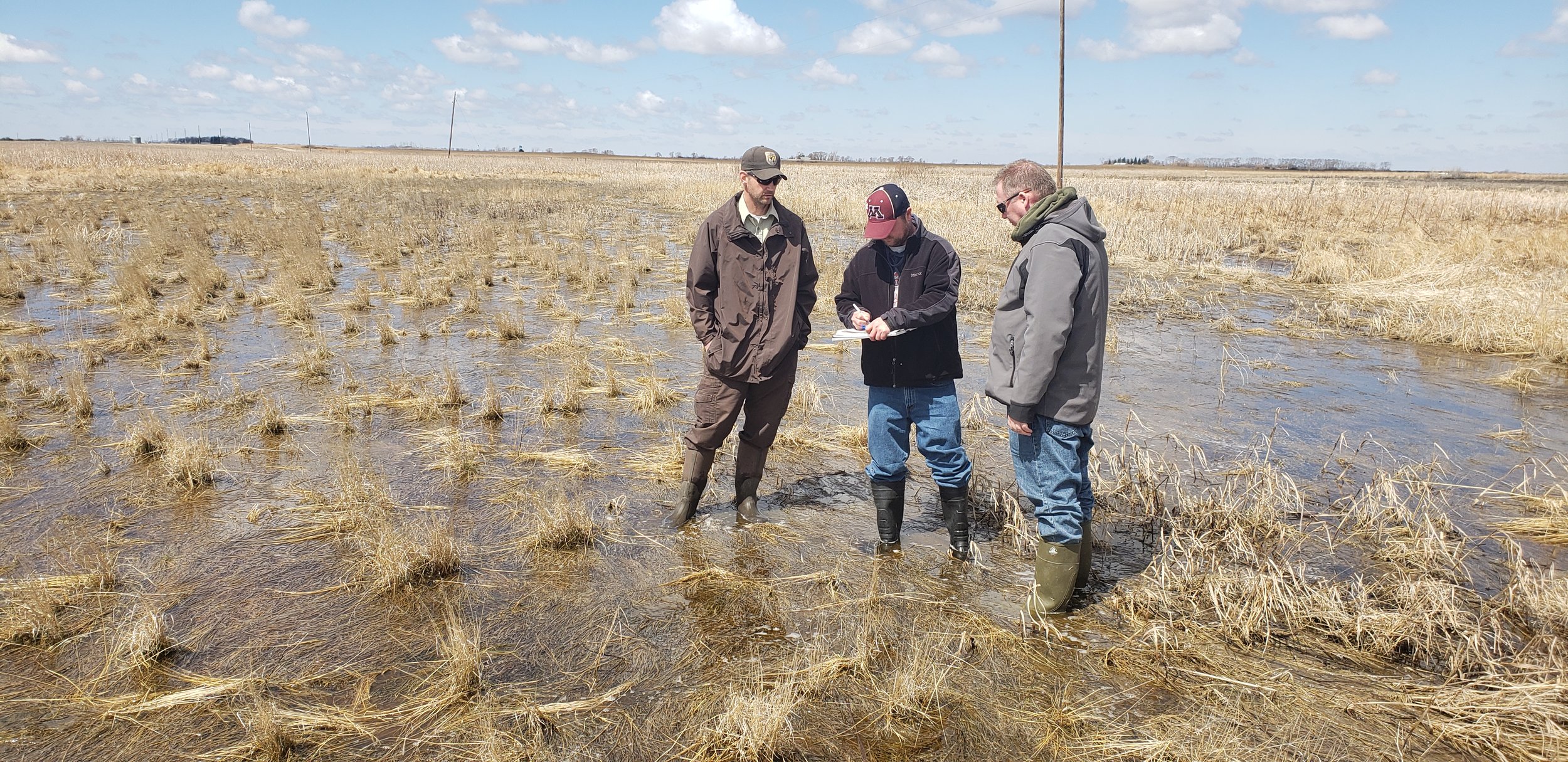
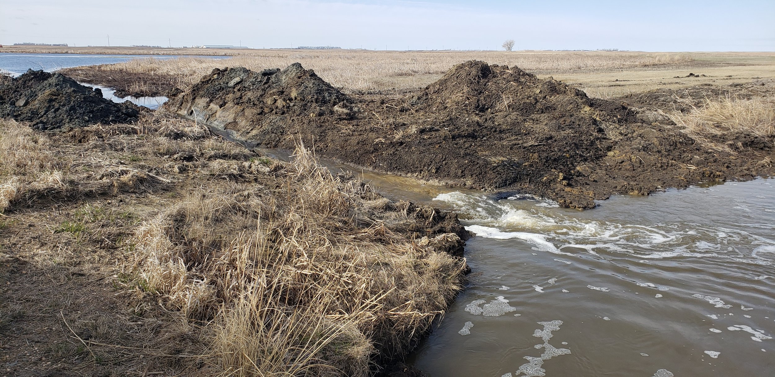
Staff Travel to North Dakota
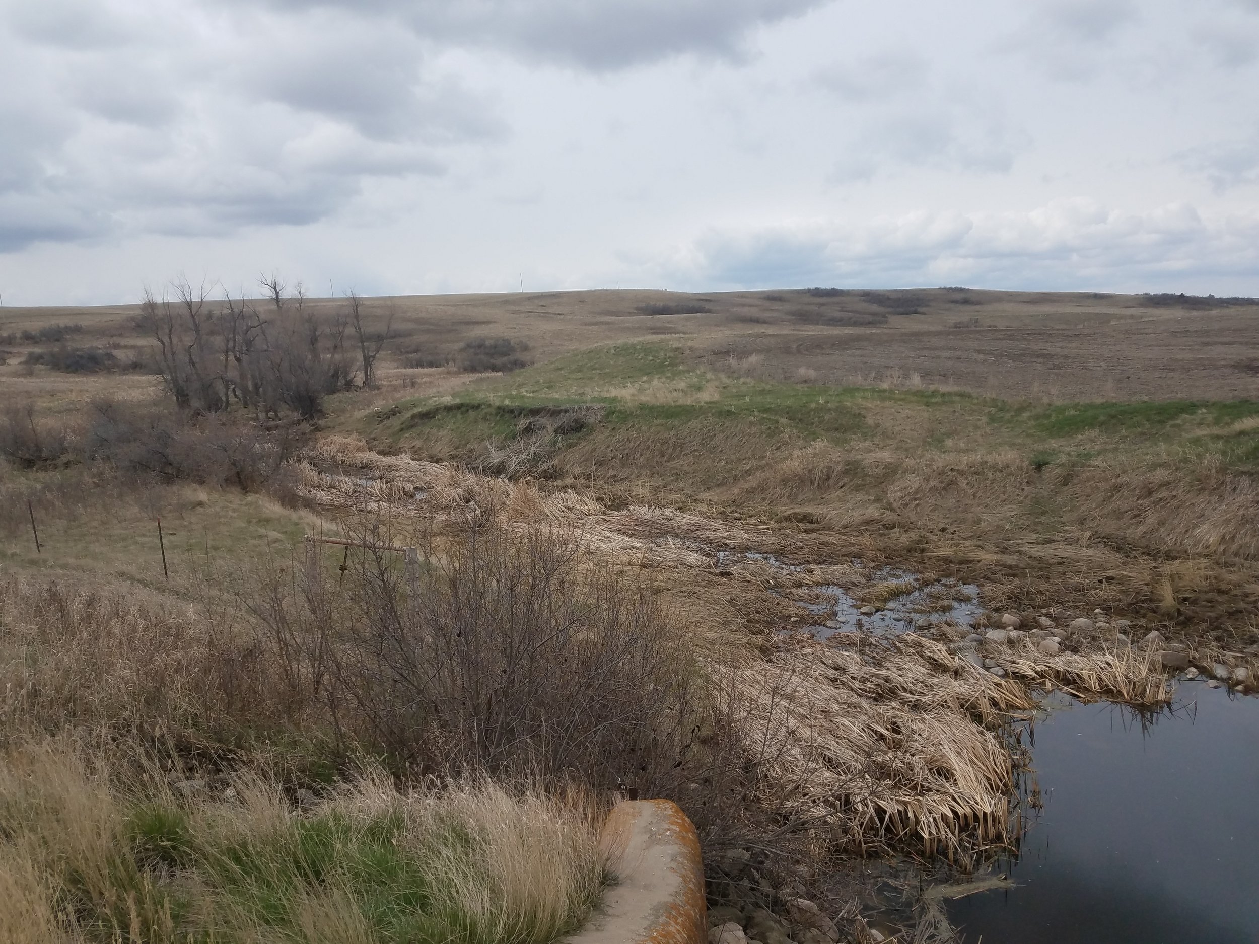
From May 1 through May 7, GSS staff members Kevin Stark, Nick Lemcke, and Darren Omoth conducted fieldwork as part of the National Wetlands Inventory (NWI) update, consisting of seven counties in the northeast corner of North Dakota. GSS staff met with U.S. Fish and Wildlife Service (USFWS) officials to identify different types of wetlands, discuss wetland conservation techniques, and examine aerial photo signatures to ensure consistent wetland mapping delineations. Much of the focus was on the prairie pothole region, as the study area comprises the central flyway for bird migration and is critical for waterfowl habitat and waterfowl reproduction. Another important focus was on the federal easement program, which is vital to protect wetlands, as the elimination of non-protected wetlands continues due to heavy draining and ditching.
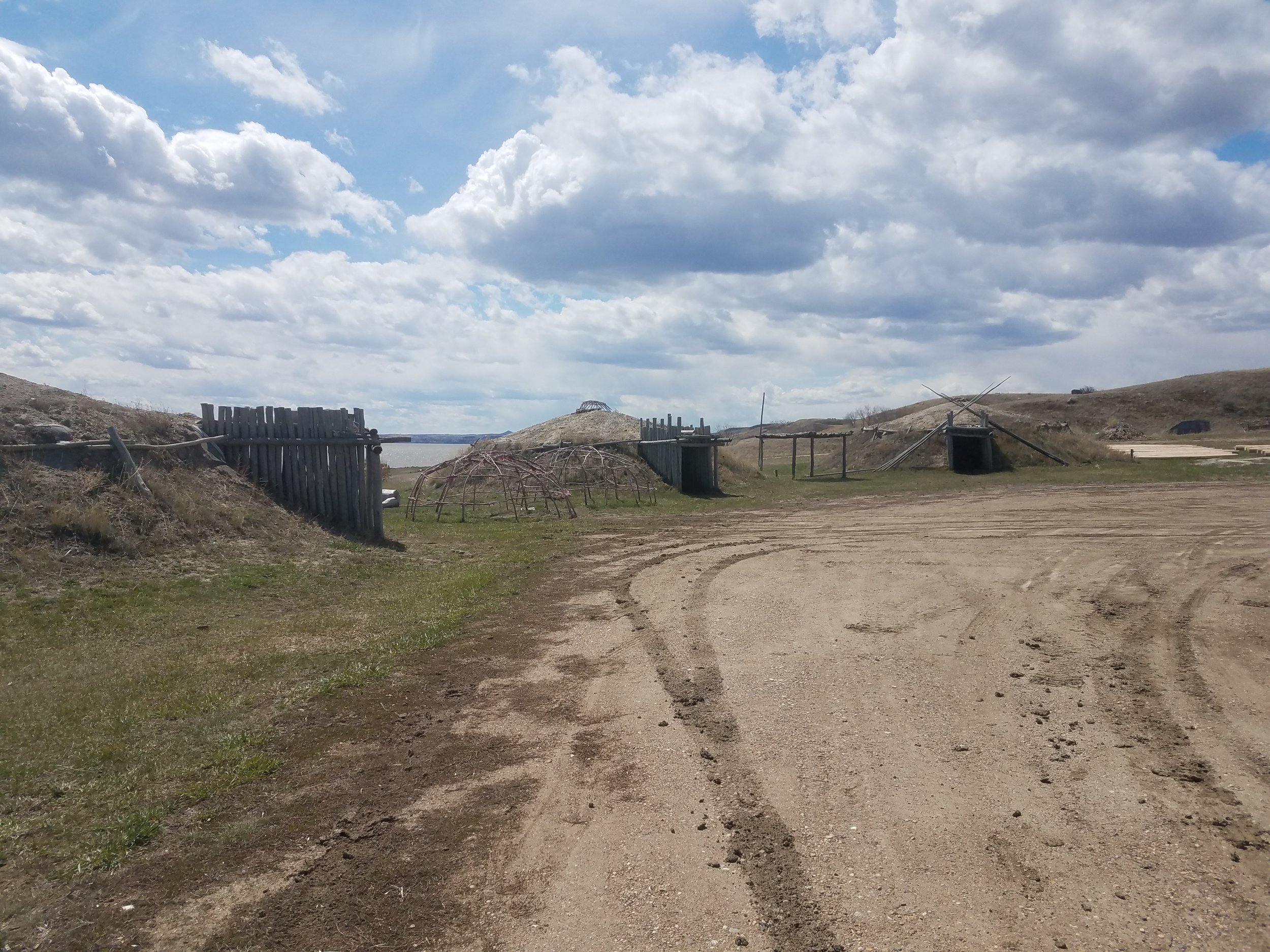
That same week, staff members Andy Robertson, Kevin Benck, and Al Rabine traveled to the Fort Berthold Reservation in northwestern North Dakota. GSS is working with the Three Affiliated Tribes (TAT) on wetland mapping, a wetland program plan, and a wetland functional assessment for reservation lands.
Robertson speaks at National Conference

On Thursday, May 9, GSS Director Andy Robertson gave a presentation at the National Mitigation & Ecosystem Banking Conference in Minneapolis. The 500 attendees included regulators, providers, and users of mitigation and banking services. Andy’s presentation, titled “Potential Consequences of a Narrower WOTUS Definition”, was based on a recent GSS project analyzing proposed changes to the federal Waters of the United States (WOTUS) rule that would remove protections for isolated wetlands across the country. To learn more about our analysis and the impacts of the proposed changes, check out this story map created by GSS Analyst Roger Meyer.
Congratulations, graduates!
It’s graduation weekend here at SMUMN, and some of our student interns are celebrating their accomplishments! While most of our graduating students will be moving on to the next phase in their careers, a few will be staying with us as they continue into graduate programs at SMUMN. Either way, we wish all the best to these graduating interns:
Zack Ansell Angela Soto
Toan Tran Katherine Ethen
Nick Shelquist Shauna Frahm
Maggie Vetch James Loken

Busy Field Season Begins for GSS
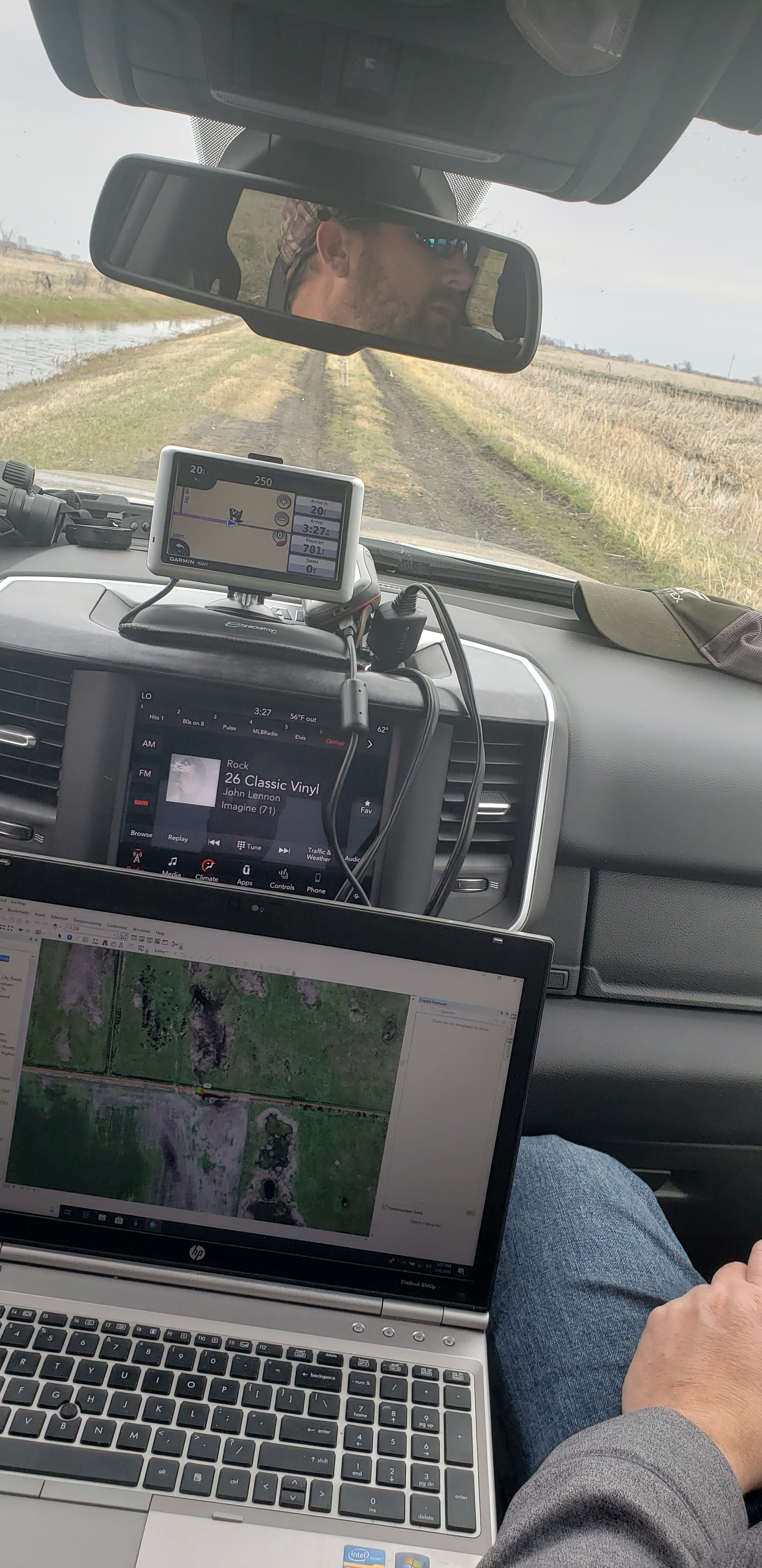
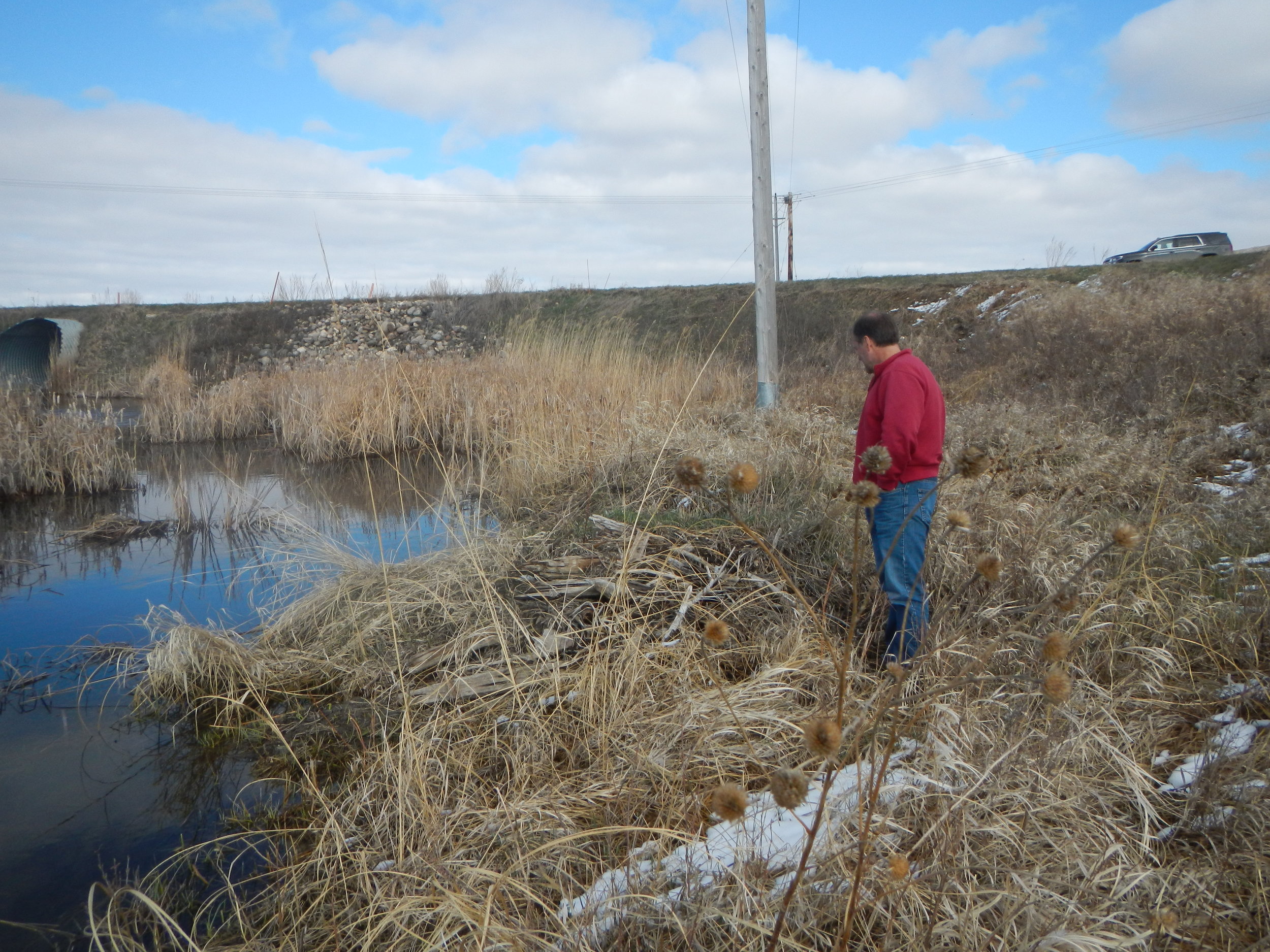
In early April, GSS staff began what is going to be a busy spring and summer of travelling for field work to support their wetland mapping projects. Dave Rokus traveled through Utah and New Mexico as part of the U.S. Fish and Wildlife Service's Wetland Status and Trends program. Dave then met up with Andy Robertson and John Anderson in western New Mexico for field work related to a project with the New Mexico Environment Department (NMED) (see photos below). That same week, Andy Nadeau was at Chaco Culture National Historical Park in northwestern New Mexico, meeting with National Park Service staff about a digital file conversion project. This week, Andy Robertson, Kevin Benck, and Al Rabine are at Fort Berthold in North Dakota, working on a wetland project with the area's tribal government. Kevin Stark, Nick Lemcke, and Darren Omoth are also in North Dakota for a week, working on a project with the U.S. Fish and Wildlife Service.
Later in May, the following field trips will take place:
- Eric Lindquist, Peter McColl, and Kevin Stark will travel to Wyoming for a Bureau of Land Management (BLM) project.
- Andy Robertson, John Anderson, and student intern Zack Ansell will travel to central New Mexico for another project with the NMED.
Trips occurring later this summer include:
- Eric Lindquist, Andy Nadeau, and Kevin Stark will travel to Idaho in June for the BLM project.
- Kevin Stark and Eric Lindquist will travel to east-central Alaska in July, also for the BLM project.
- Andy Robertson and Jeff Knopf will travel to the Arctic National Wildlife Refuge in northern Alaska in July for a project with the Fish and Wildlife Service.


GSS Spotlight!
ANDREW SANDOZ

What is your education and professional background?
I am from Harrison, WI and I graduated from Kimberly High school in 2016. Presently, I am finishing up my third year of undergraduate studies at Saint Mary's working, on both a Business Intelligence major and a Finance major. This past summer I had the opportunity to stay on campus and work in the Admissions office as a tour guide for prospective students. That experience was a great way to share the awesome things Saint Mary's has to offer, and allowed me to help start our community garden on campus.
What led you to GIS? More specifically, how did you get to Saint Mary's University of Minnesota (SMUMN) in Winona?
Coming to Saint Mary's was an easy choice for me because five of my relatives have graduated from Saint Mary's. I had never visited campus before deciding to attend but I knew it would be a great fit for me. The bluffs and all of the amazing outdoor recreation opportunities have made my time at Saint Mary's incredibly enjoyable.
Explain briefly a project at GSS you've done that contributed to your overall knowledge and educational experience.
I am currently working on mapping wetlands in North Dakota. Not being from a biology background, I have not had too much class time learning about plants and wetland ecology, but working at GSS has exposed me to so much new information that I would have never had the opportunity to learn in the classroom. The project, in general, has been a great learning opportunity in working with clients and what their needs are for a project in a real business situation. It has been exciting to see what I am being taught in my business coursework come to life outside of the classroom.
How do you see GIS fitting into your future?
GIS will hopefully play a big role in my future. I would like to keep working at GSS and sharpening my skills with the Data Intelligence and GeoAnalytics (DIGA) Master’s program at Saint Mary's. After finishing the DIGA program, I would like to keep working at GSS or do GIS work for cities in southeast Minnesota.
Where can we find you outside of GSS?
Outside of GSS I can usually be found in the community garden on campus pulling weeds or watering the plants while eating kale. When not gardening during the school year I am most likely in the computer lab working on some form of data analytics.
GSS Spotlight!
CALEB KILLIAN
What is your education and professional background?
I got my high school degree from Cochrane-Fountain City school district, and I have 2 semesters of college done (working on my third now).

What led you to GIS? More specifically, how did you get to Saint Mary's University of Minnesota (SMUMN) in Winona?
One of the main reasons I decided to come study here was because I get free tuition since my mother works here. The campus is also beautiful, and I enjoy the size of the community (it's bigger than my high school but still small enough to be relaxing). I was recommended to apply at the GSS offices by my mother, and I followed through with it because the work seemed interesting to me.
Explain briefly a project at GSS you've done that contributed to your overall knowledge and educational experience.
Everything that I do at GSS adds to my overall knowledge. The biggest thing is that I've been taught how to use ArcMap, which is useful for many different things such as surveying populations of areas to decide where to start your business. I can also distinguish bodies of water I see in real life by their attributes, and I have a somewhat extensive knowledge on the types of weeds that will eventually take over and rule humanity.
How do you see GIS fitting into your future?
Although I'm not 100% sure on my major yet, knowing how to use tools such as ArcMap could help me with finding target markets as a marketing major.
Where can we find you outside of GSS?
You can find me roaming around campus with buddies, or doing something outside. Whether it's longboarding, cliff jumping, hiking, or skiing, I always have something to do outdoors. You can also find my artistic endeavors online at https://soundcloud.com/compence , where I upload the music I write and produce.