

NEWS
GIS and Archaeology

A map displaying the hotspot analysis on the distribution of ceramic sherds inside the project site (Newport House)
During the summer of 2017, GSS student intern Peter McColl participated in an archaeology study with James Gloor and Carol Reynolds of the Archaeology Society of Virginia. Peter used his GIS expertise to run a hotspot analysis on the data collected from the archaeology dig at the Newport House near Eyre, Virginia (see map below). He helped determine what types of ceramic sherds (and how many) were distributed throughout the project site. Peter also designed many maps that James and Carol used in their final report.
The Archaeology Society of Virginia held their annual meeting on October 26-28th, 2017. At this conference, James and Carol presented their findings; Peter's work was recognized and published.

2017 Wetland Mapping Consortium
On October 18th, GSS Director Andy Robertson presented at the 2017 Wetland Mapping Consortium about the work GSS is doing with the Stockbridge-Munsee Mohican Community in Wisconsin.
To view his online presentation titled "Developing a Spatially Enabled Wetland Program Website to Communicate the Importance of Tribal Land Management", click here.
This webinar series is put on by the Association of State Wetland Managers (ASWM), a nonprofit membership organization designed to promote and enhance management of wetland resources across the nation.
Tribal Story Map Workshop
On October 18th and 19th 2017, GSS hosted the two-day “Tribal Story Map Workshop” at the Saint Mary's University Alverna Center. The workshop was funded by a US EPA grant and conducted as a collaborative effort between GSS and the Stockbridge-Munsee Community Environmental Department.
“By the end of the two days, participants were already using their own data to produce Story Maps for use in their own projects!”
The goal of the workshop was to provide members of tribal government organizations with technical training in how to develop Esri Story Maps using ArcGIS online tools. Story Maps are web-based applications that integrate multimedia, narratives, and web maps to effectively convey a story. Incorporation of these Story Map applications in their work will provide members of tribal organizations with an effective tool for not only sharing information internally but also to the general public for education and outreach. The workshop was well received by the 18 workshop participants as well as US EPA representatives in attendance.
West Wide Wetland Functional Assessment
On October 24th and 25th of 2017, GSS staff traveled to the BLM headquarters (National Operations Center) near Denver Colorado for a meeting to discuss the application of wetland functional assessments across the semi-arid and arid western landscape.
In addition to GSS (Hannah Hutchins, Andy Robertson, and Kevin Stark) and BLM AIM staff, skilled wetland scientists and landscape ecologists were in attendance from the following organizations:Colorado Natural Heritage Program, Montana Natural Heritage Program, New Mexico Environment Department, Wyoming Natural Diversity Database, and Utah Geological Survey.
This collaborative meeting was designed to open up dialog regarding current wetland mapping and classification methods used across the west and then discuss how to apply consistent hydrogeomorphic characteristics to wetlands which will then feed a standardized wetland functional assessment in areas that need updated data.

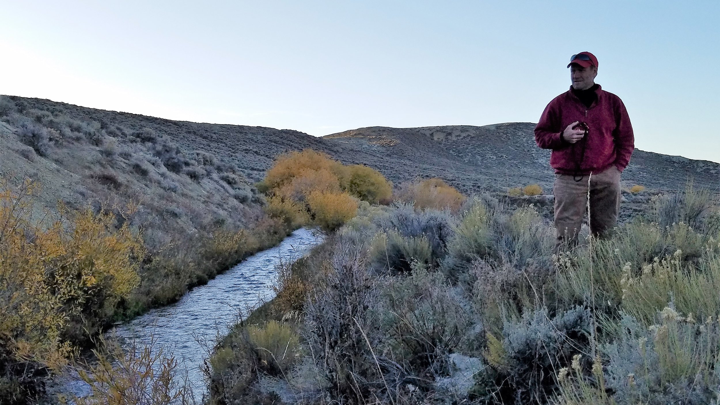
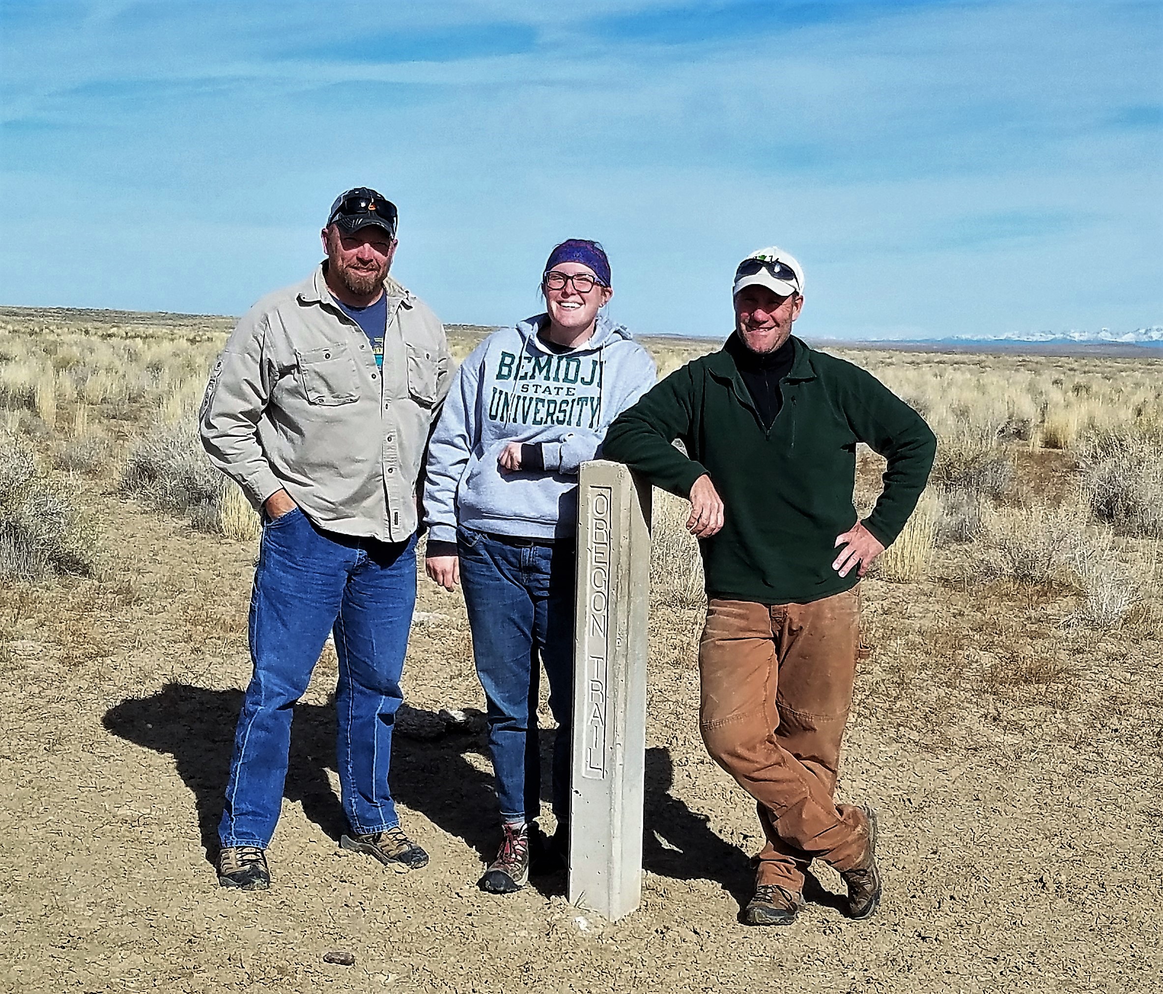
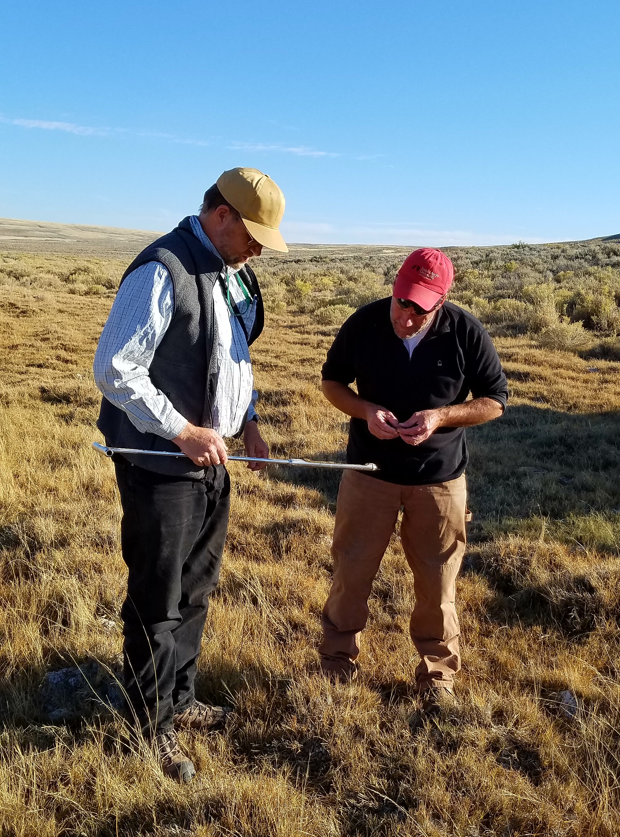
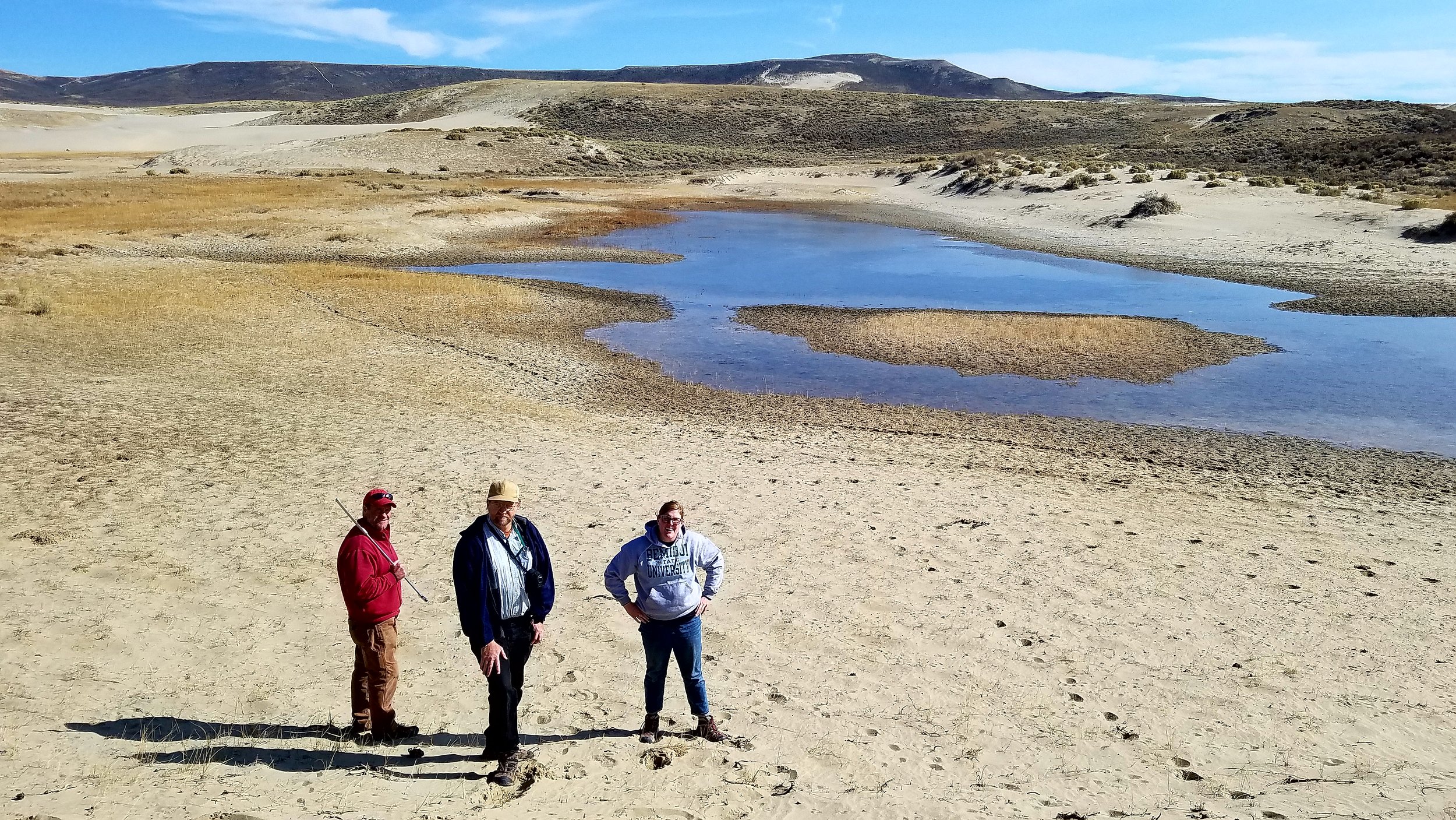
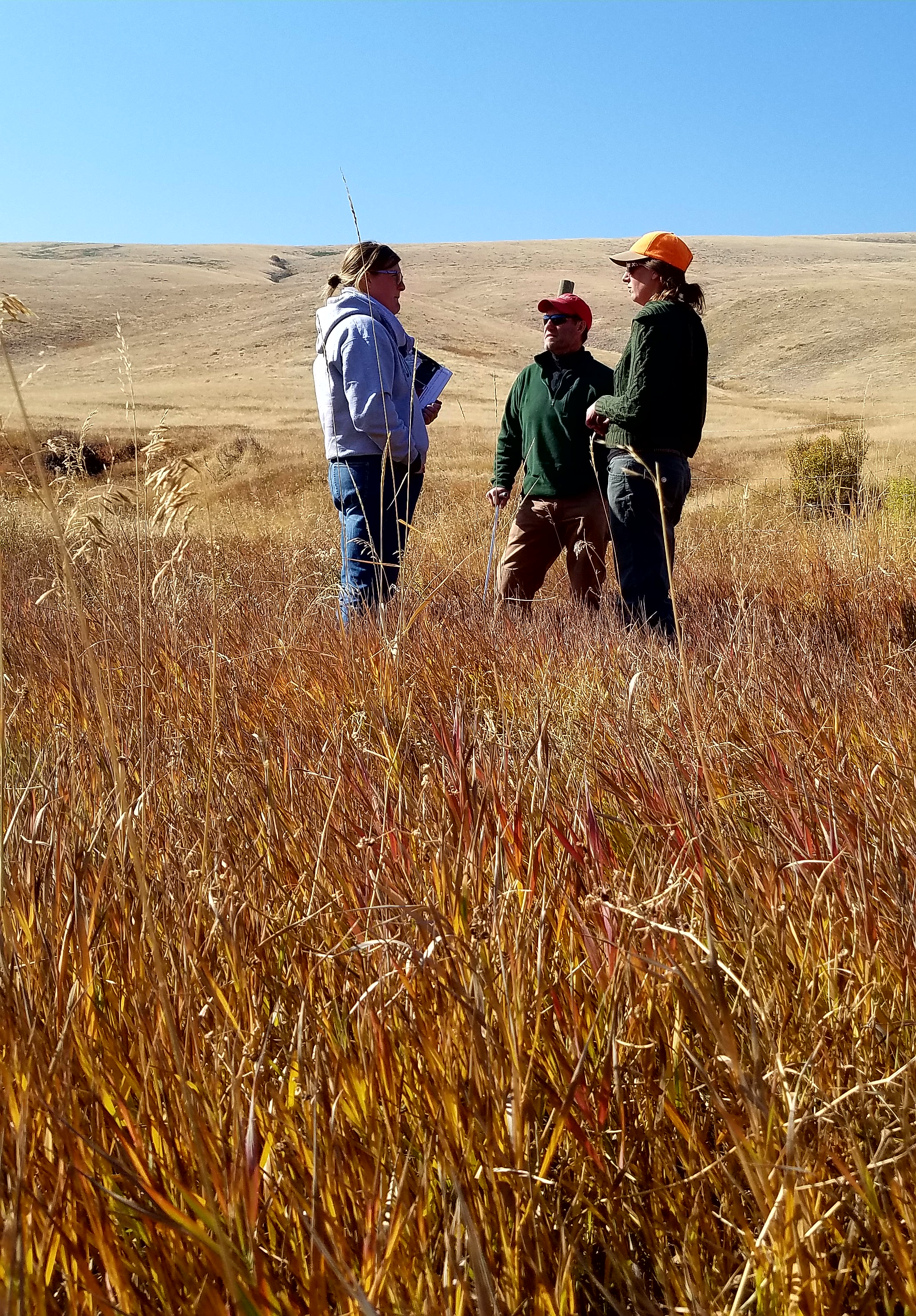
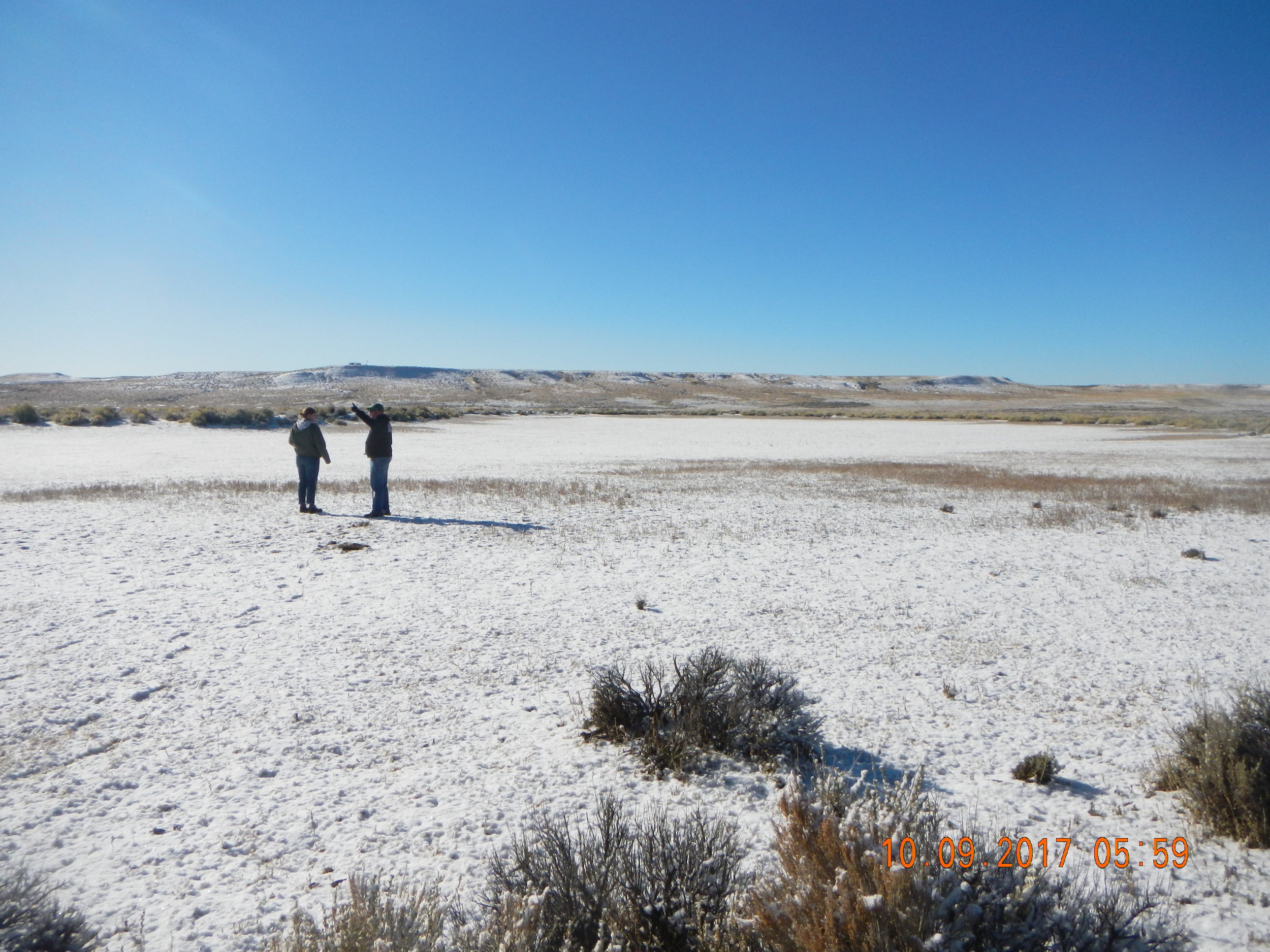
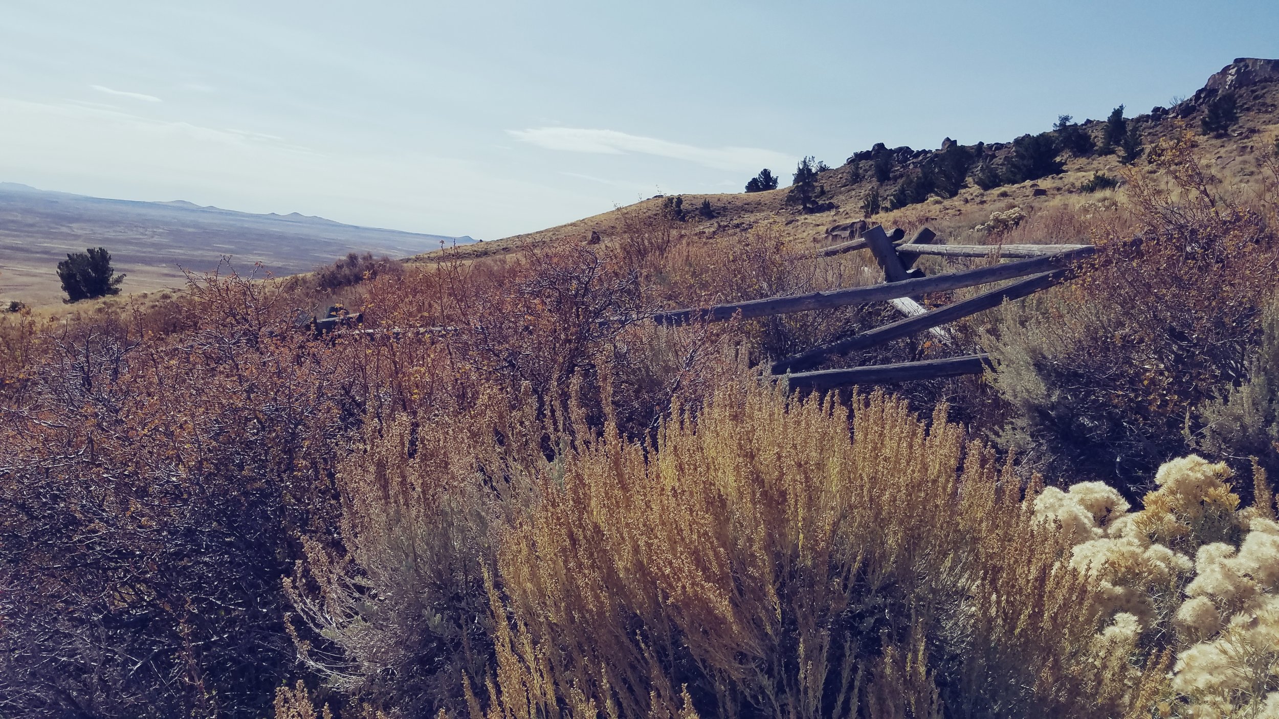
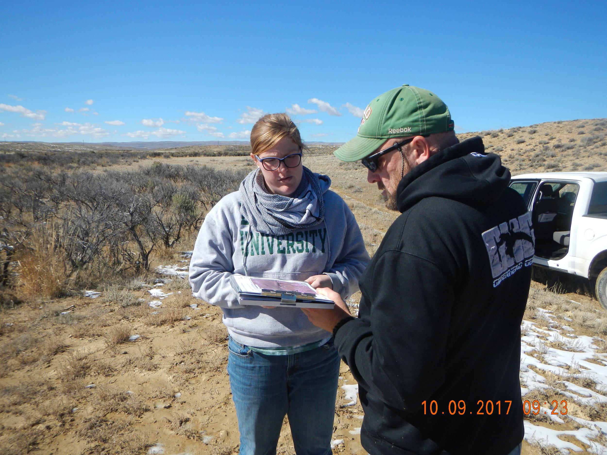
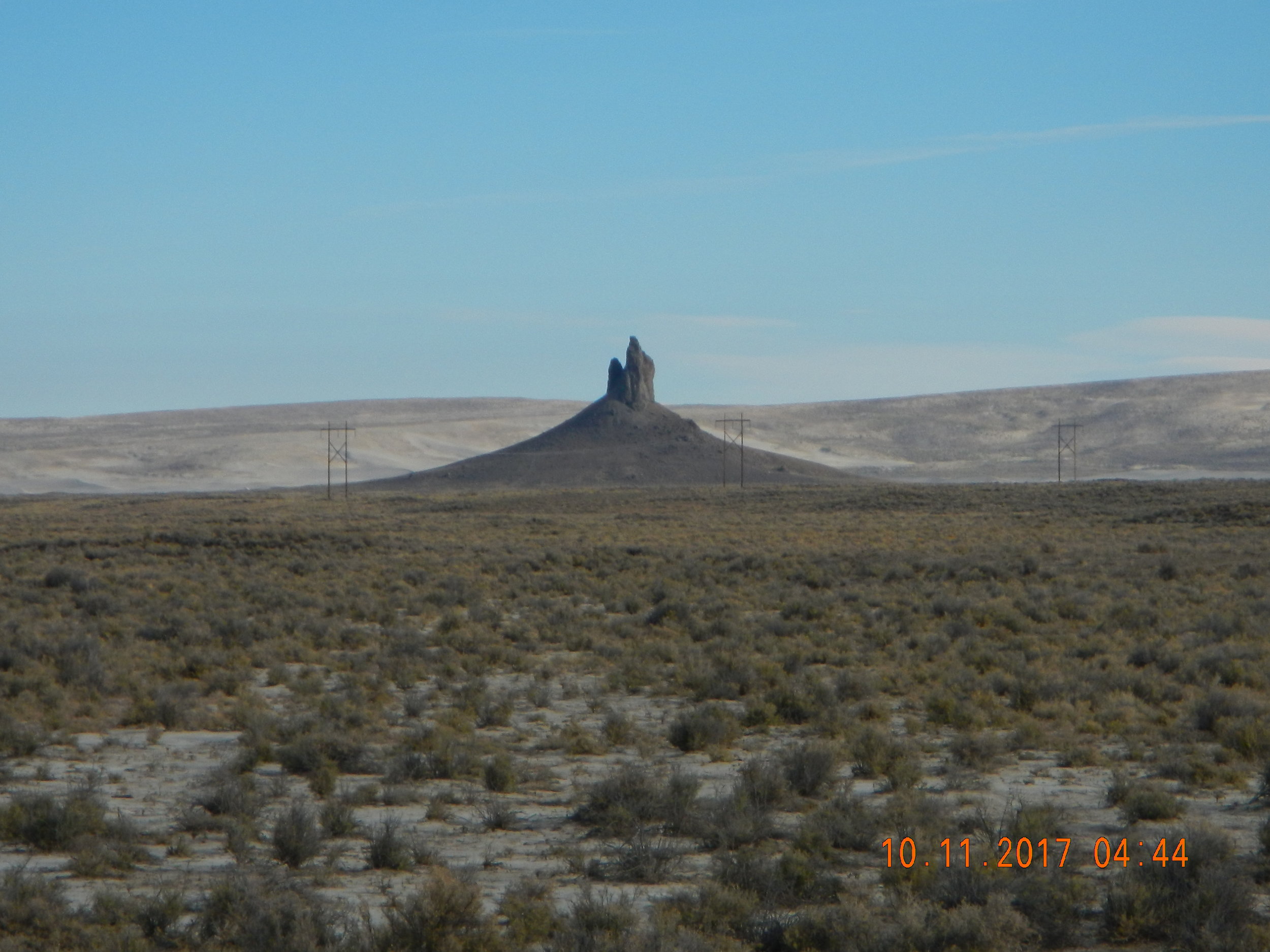
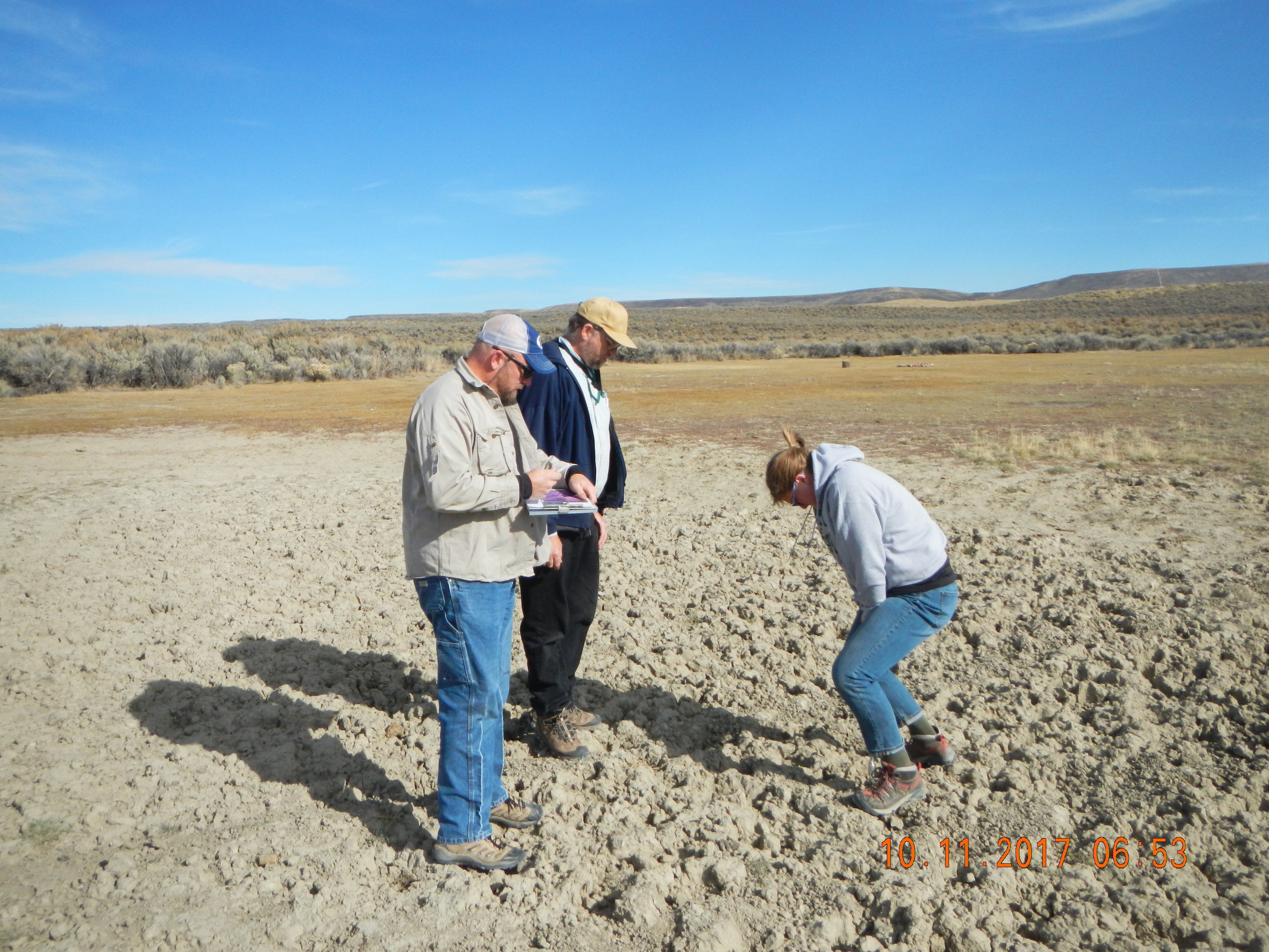
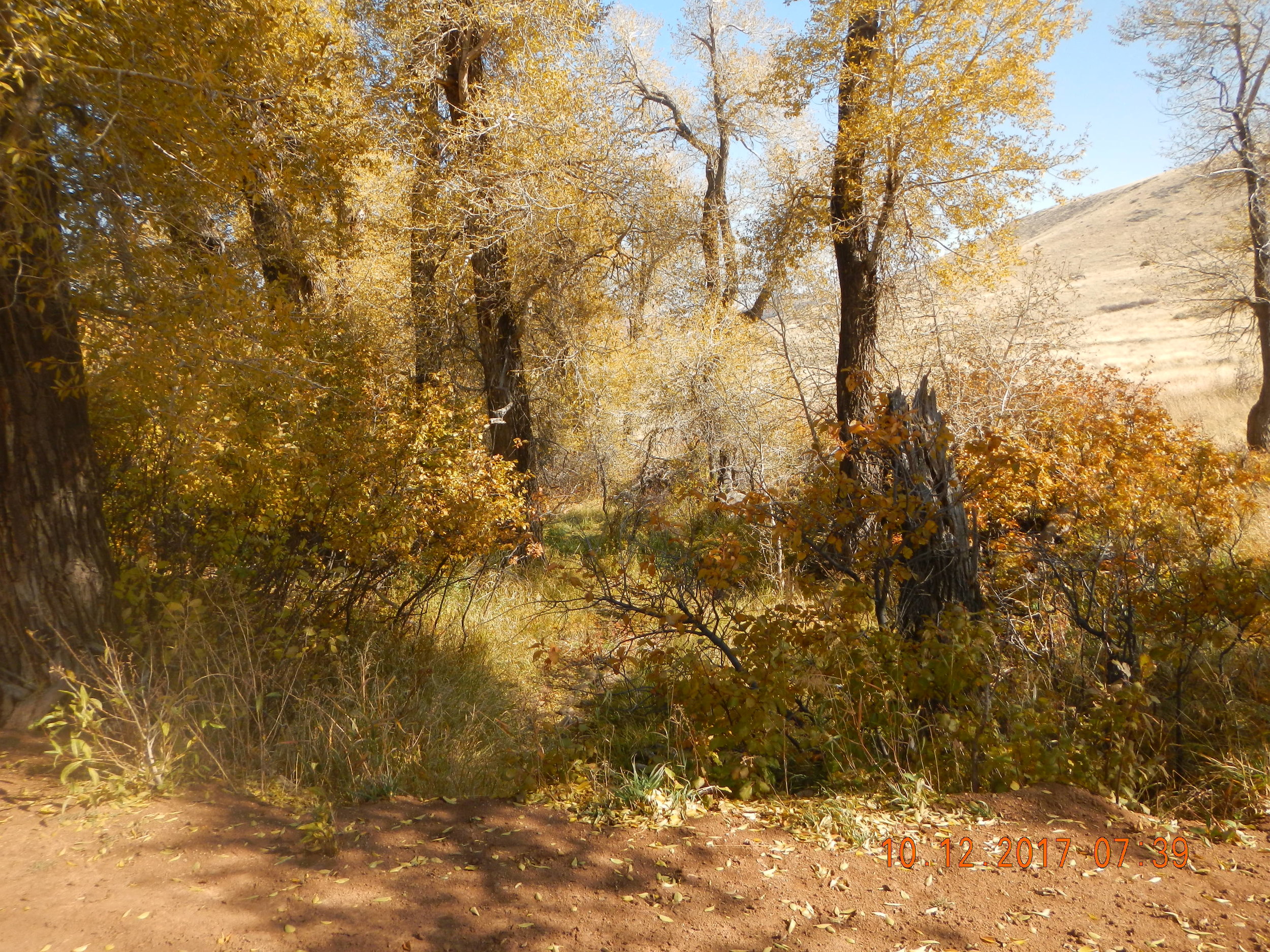
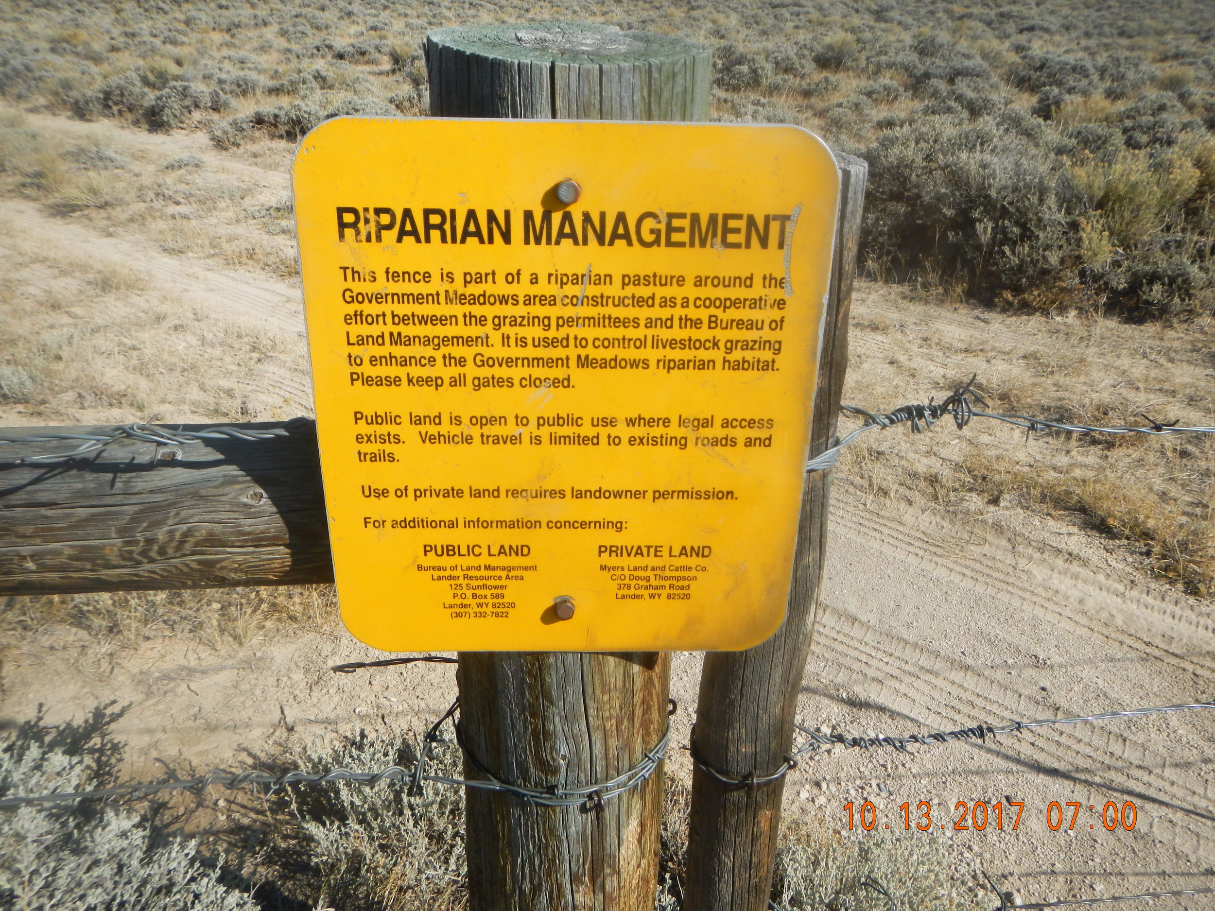
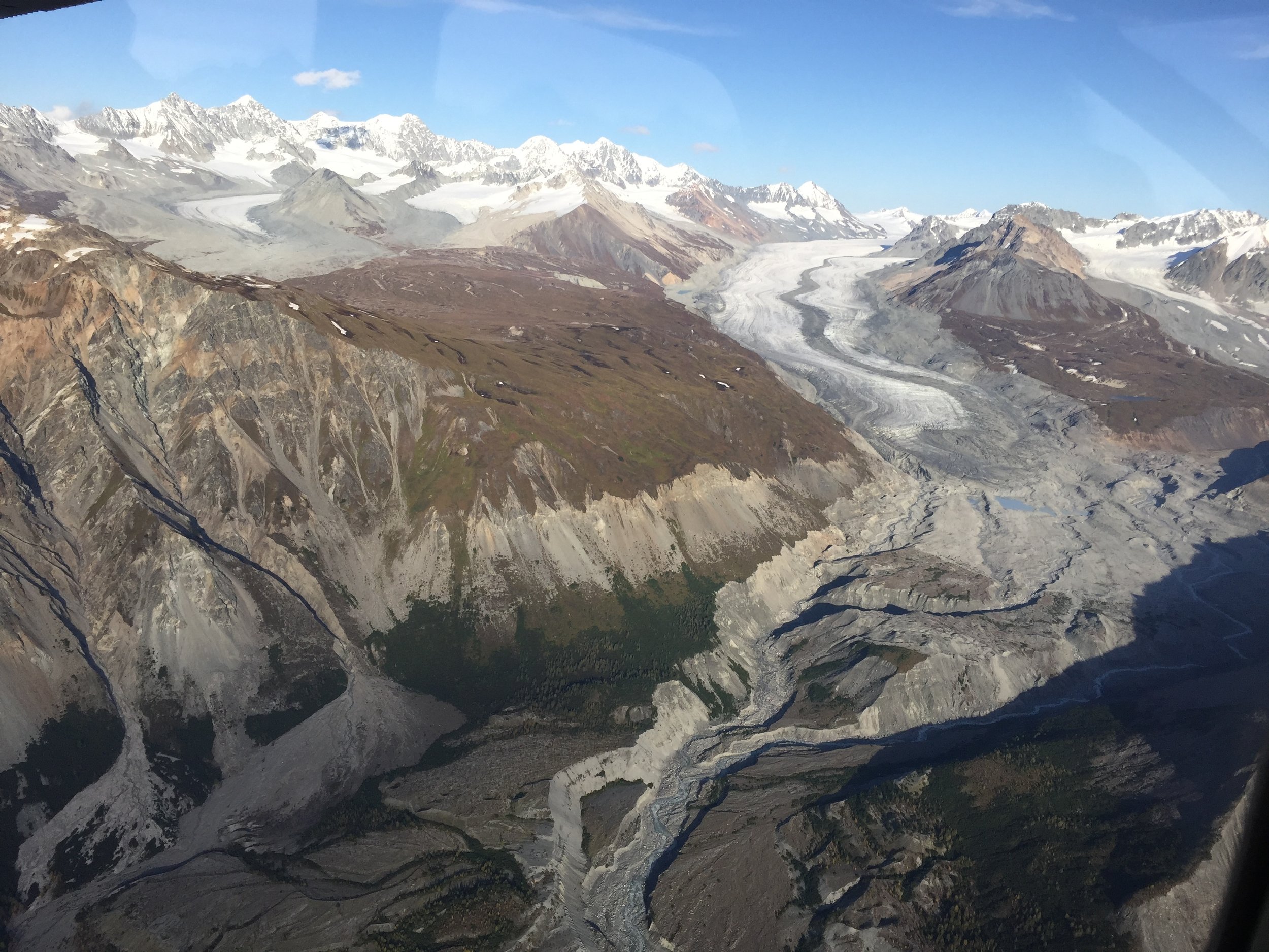
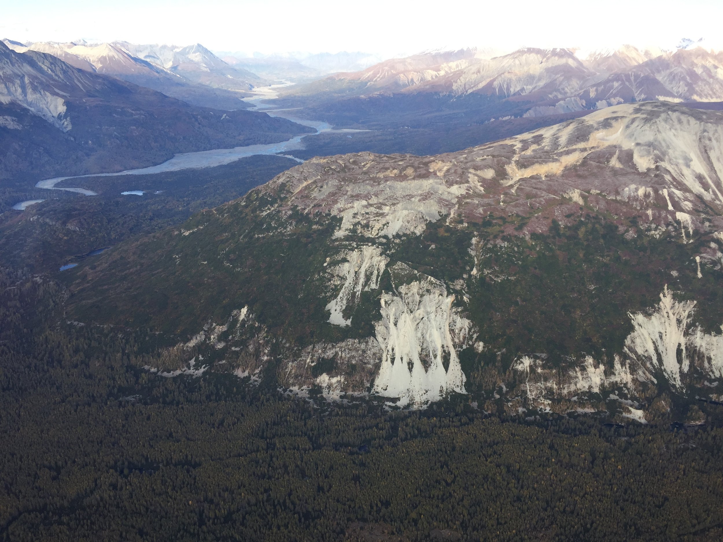
Wyoming BLM Fieldwork
GeoSpatial Services staff members, Andy Robertson, Hannah Hutchins, and Eric Lindquist spent the week of October 9-13 doing pre-mapping fieldwork for the Bureau of Land Management Wetland and Riparian Area Mapping and Assessment Project.
The team traveled the approx. 6.4 million acre study area that is often referred to as Wyoming’s Red Desert, located in south central Wyoming. Staff visited the unique landscape for the purpose of ‘ground truthing’ upcoming mapping in the area. This part of Wyoming includes areas of the Great Divide Basin, the Killpecker Sand Dunes and parts of the Oregon Trail, California Trail, Mormon Trail and the Pony Express. It is located at the base of the Wind River mountain range of the Rocky Mountains. GeoSpatial Services also met with members of the Bureau of Land Management and WYNDD (Wyoming Natural Diversity Database) while in the field to enhance understanding of the area.
The geography of the study area has influenced much of its use, especially the water and land use. Ranching and oil/gas are the dominant economic activity. Cattle and humans share the varied water and land resources with elk, antelope and many other types of wildlife.
Dozens of different wetland sites were visited making it a priority to document the present plant species; how water is moving through and sitting in the wetland landscape; and what, if any, surrounding land use practices are potentially affecting the wetland feature at hand.
Once mapping and classifying these semi-arid west wetlands are complete, a wetland functional assessment will be performed to determine what services the wetlands can provide to the surrounding ecosystem.
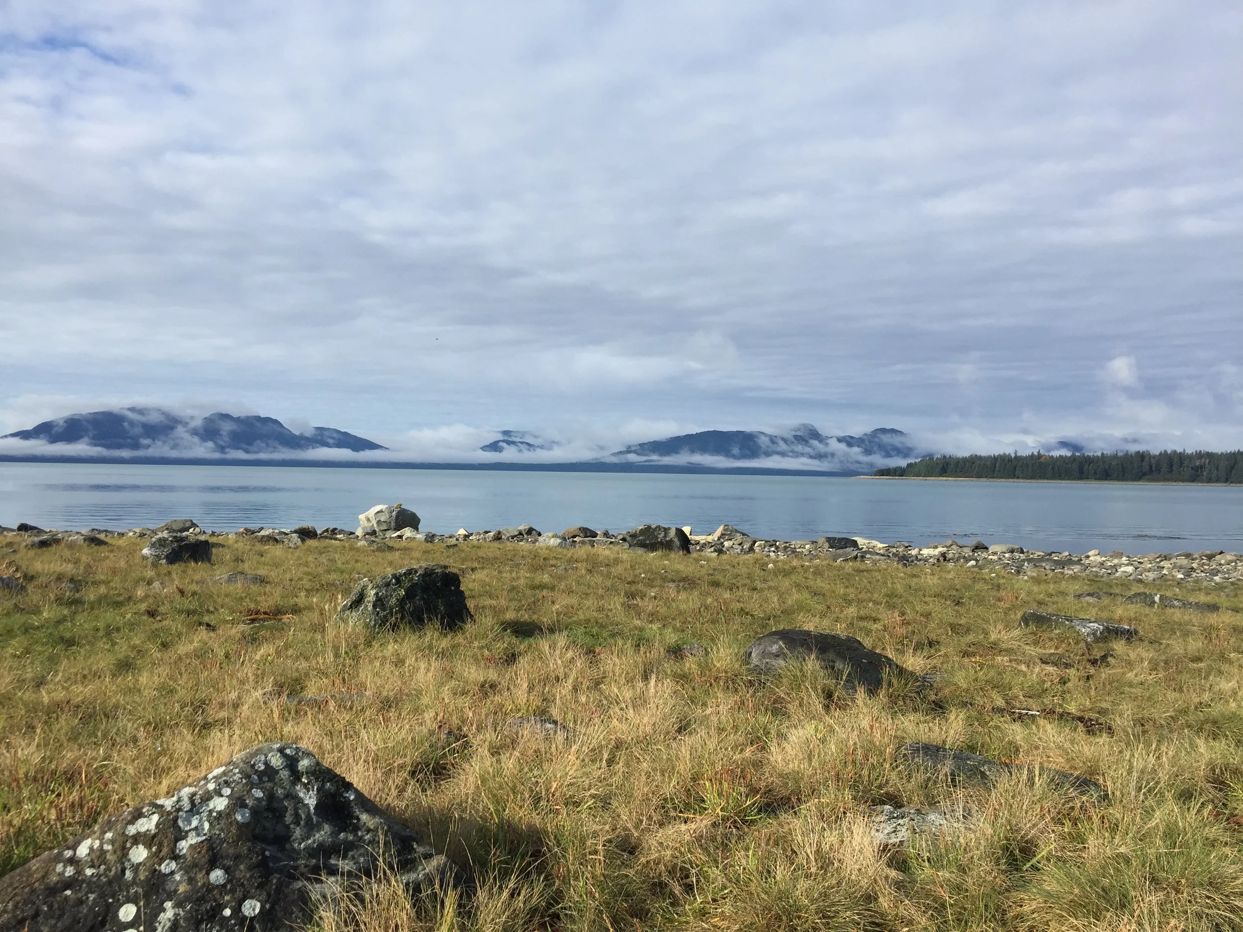
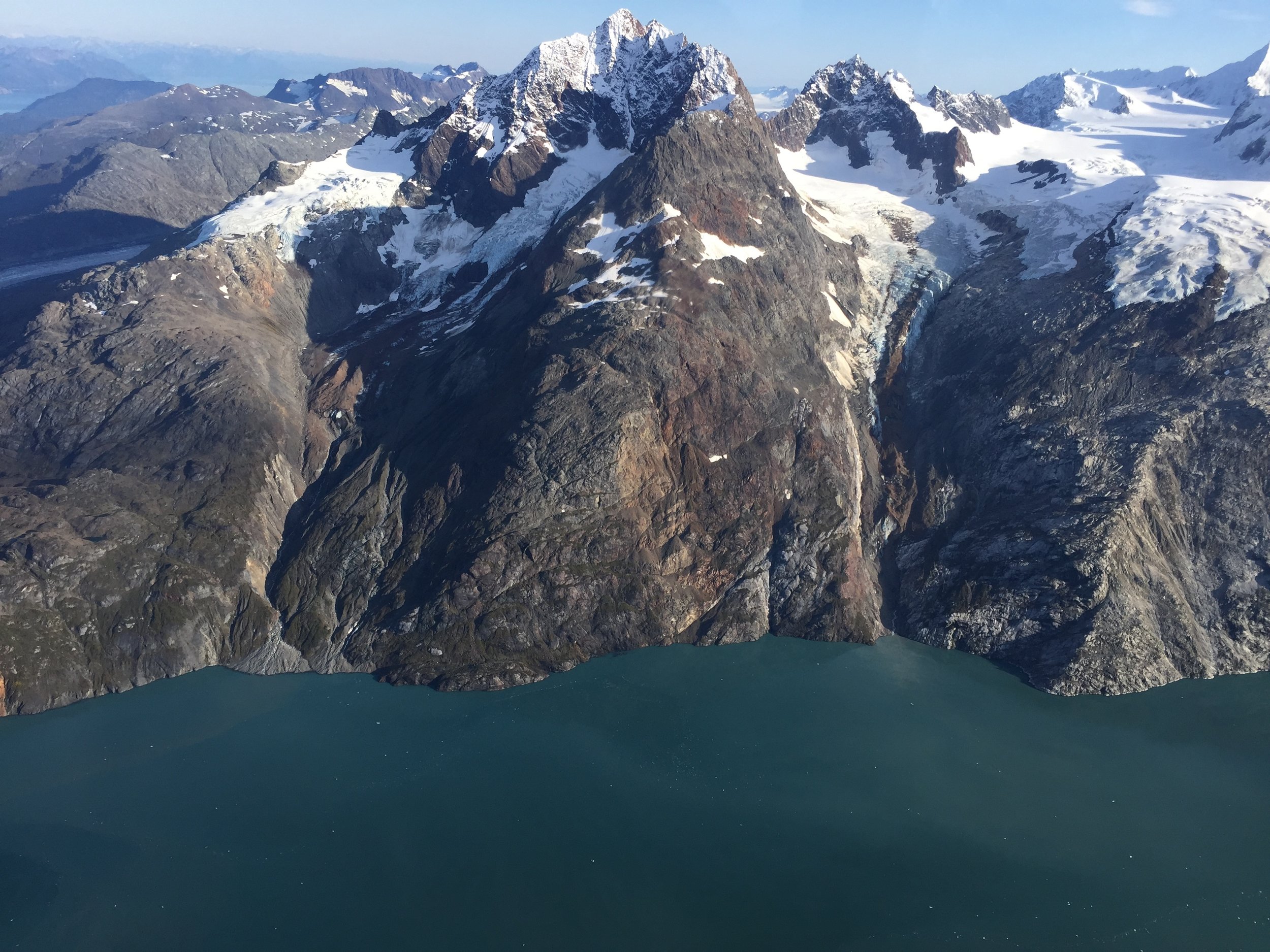
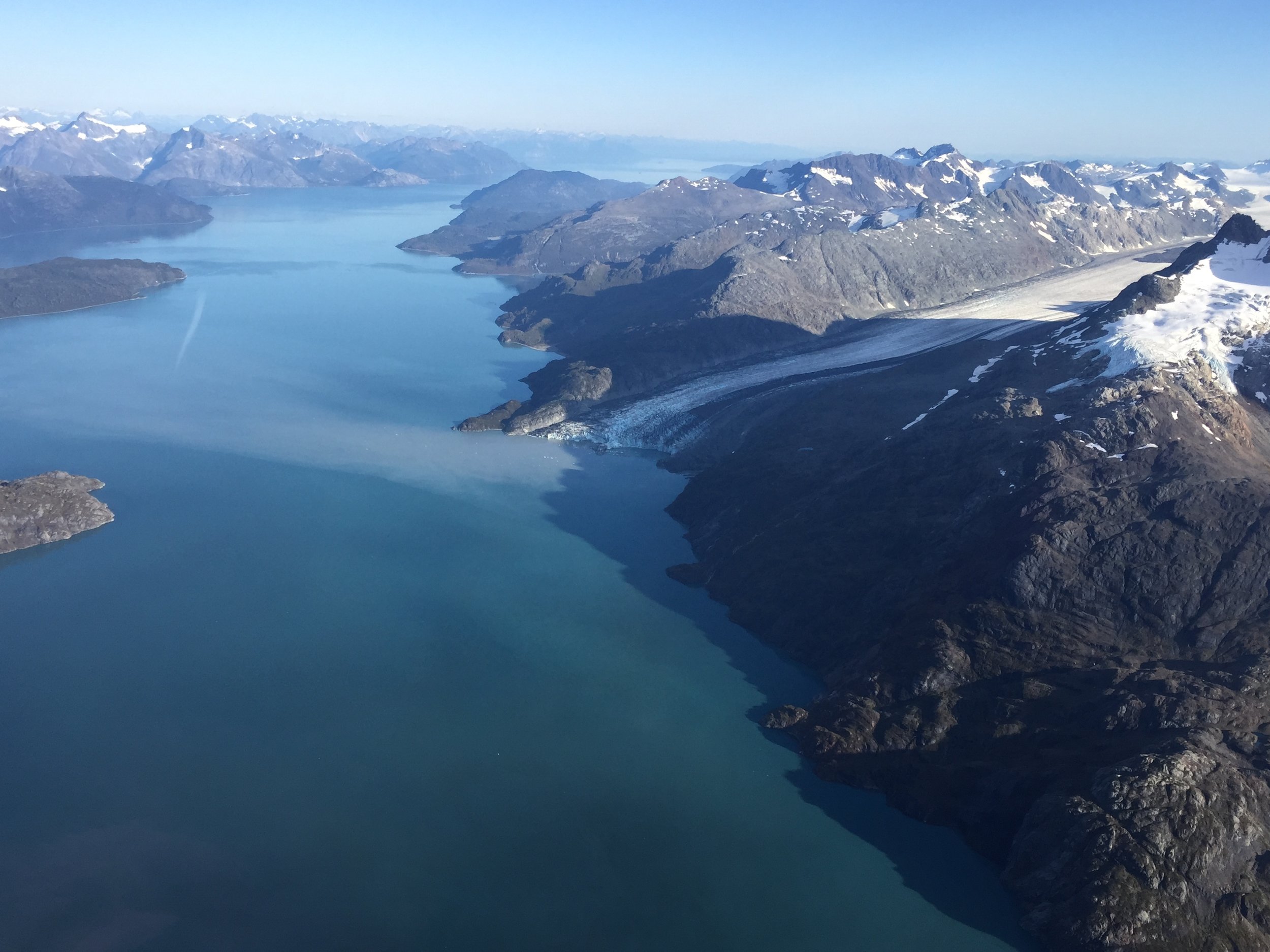
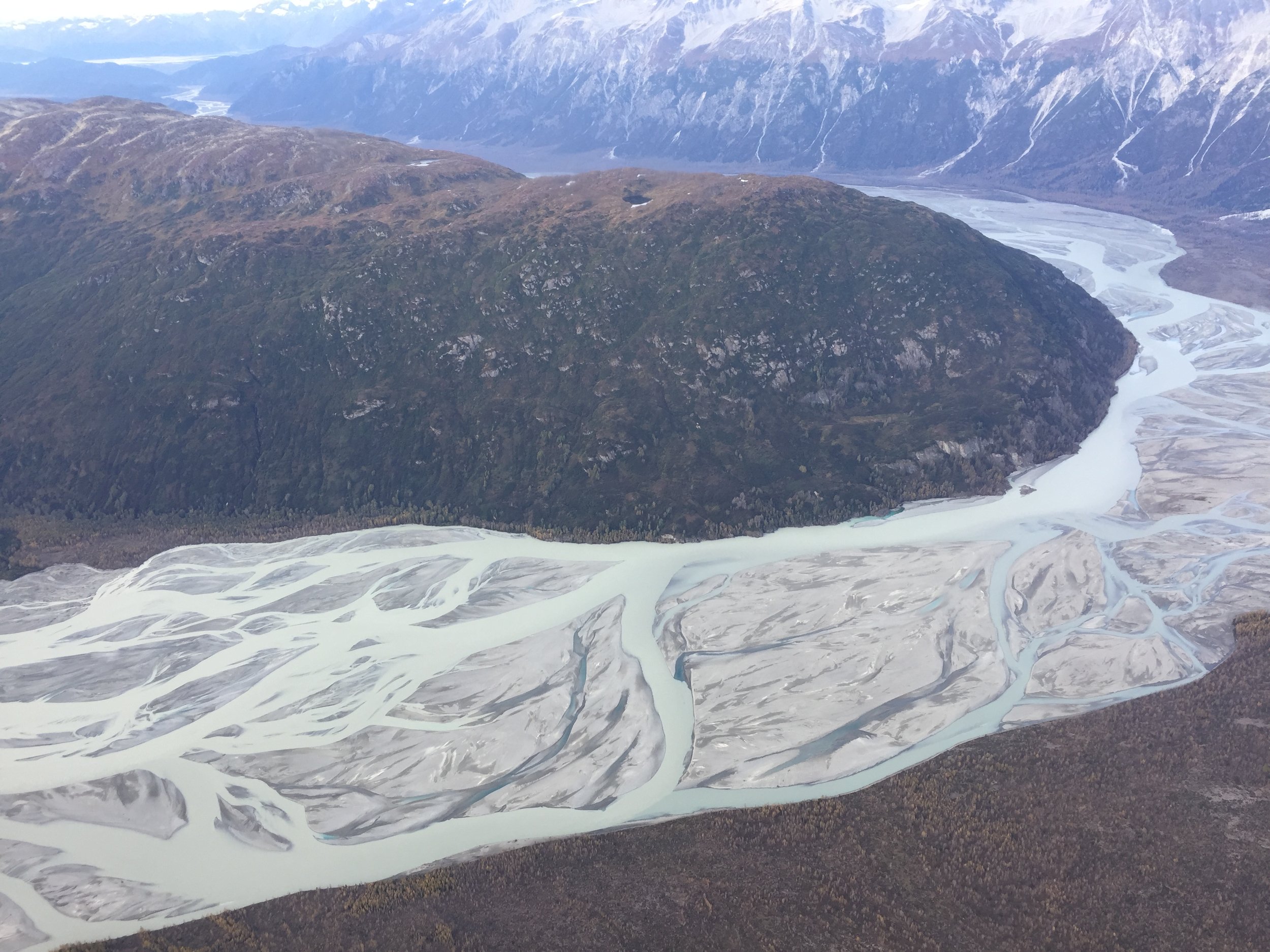
GLBA Wilderness Character Assessment
“Wilderness = an area of undeveloped Federal land retaining its primeval character and influence without permanent improvements or human habitation, which is protected and managed so as to preserve its natural conditions”
GSS was contacted by Glacier Bay National Park and Preserve (GLBA) during Summer of 2017 about completing a wilderness character assessment for the park. GSS recently published Glacier Bay's Natural Resource Condition Assessment (NRCA), and during that effort, it became apparent to the park that an additional project dedicated specifically to the current condition of wilderness in the park was needed.
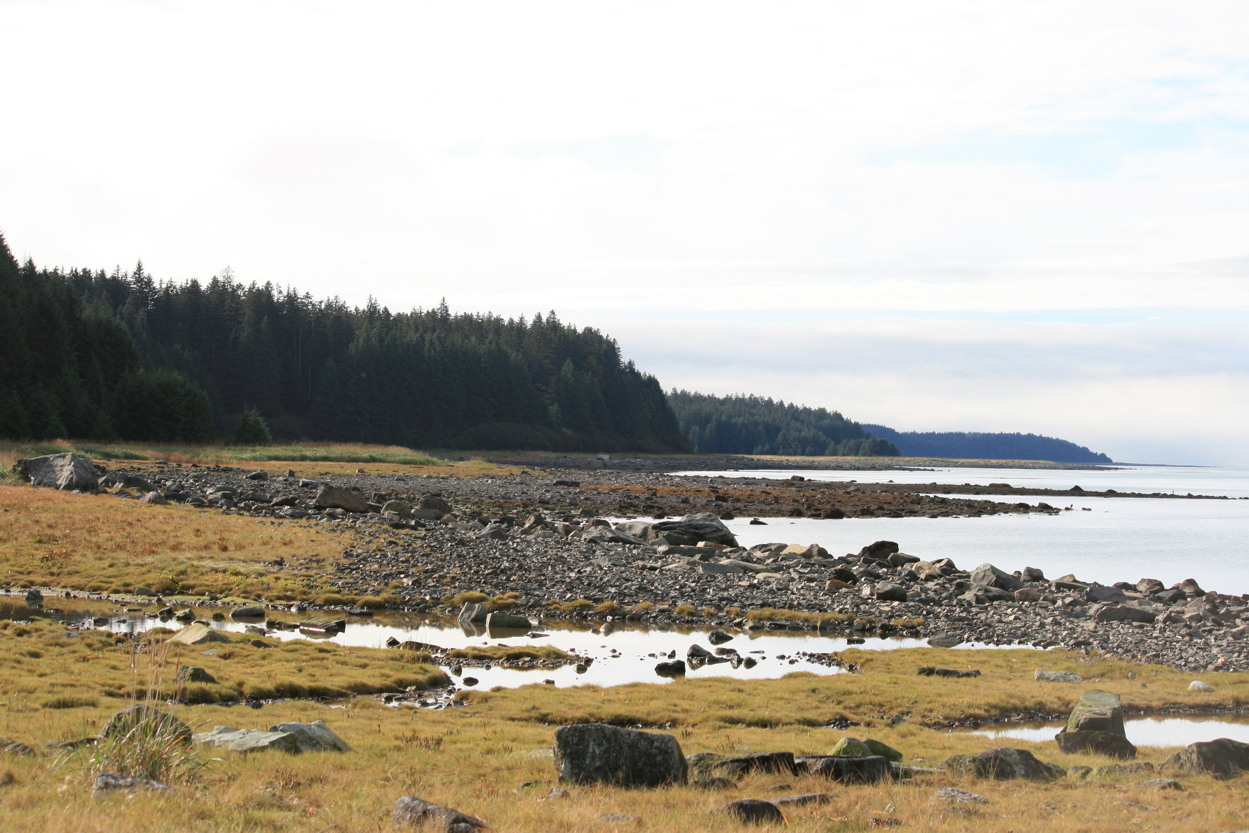
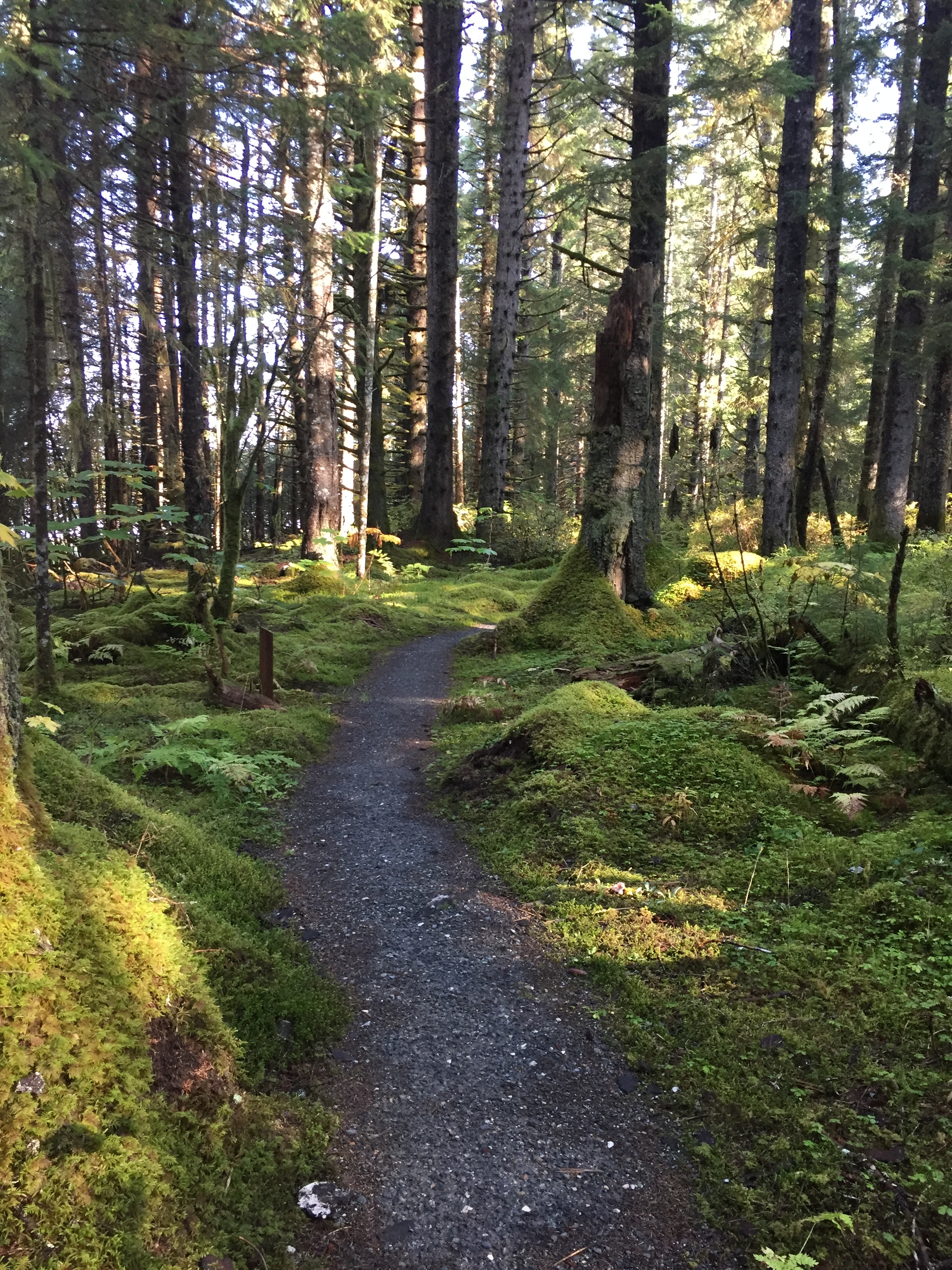
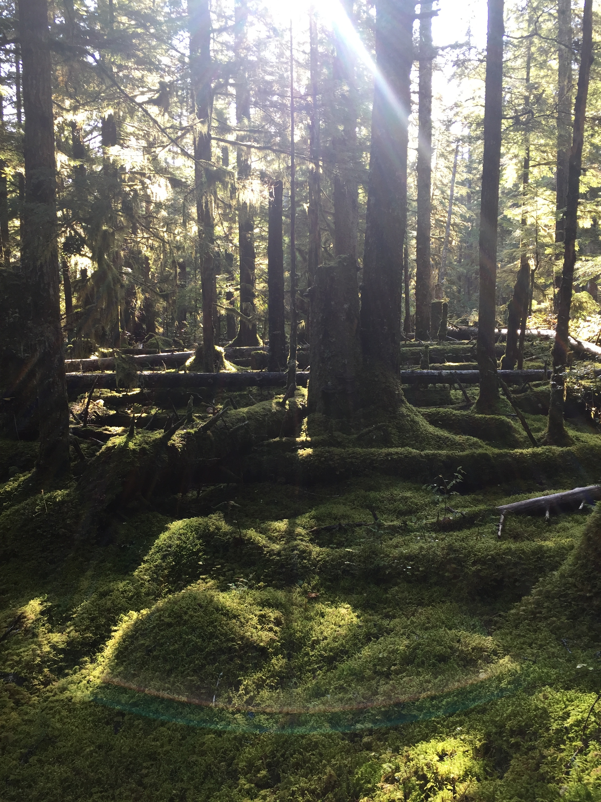
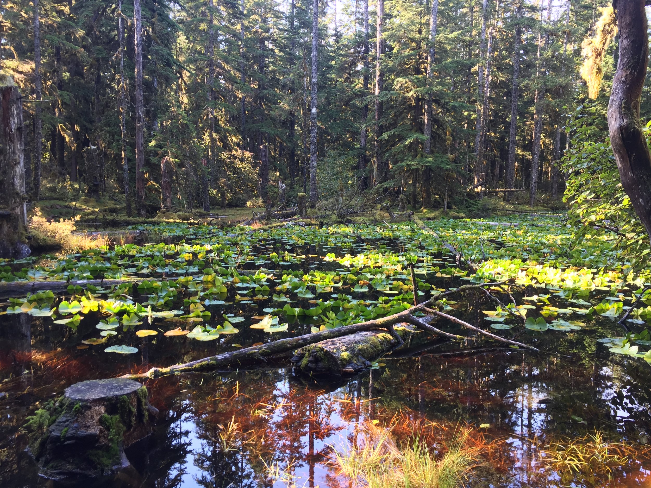
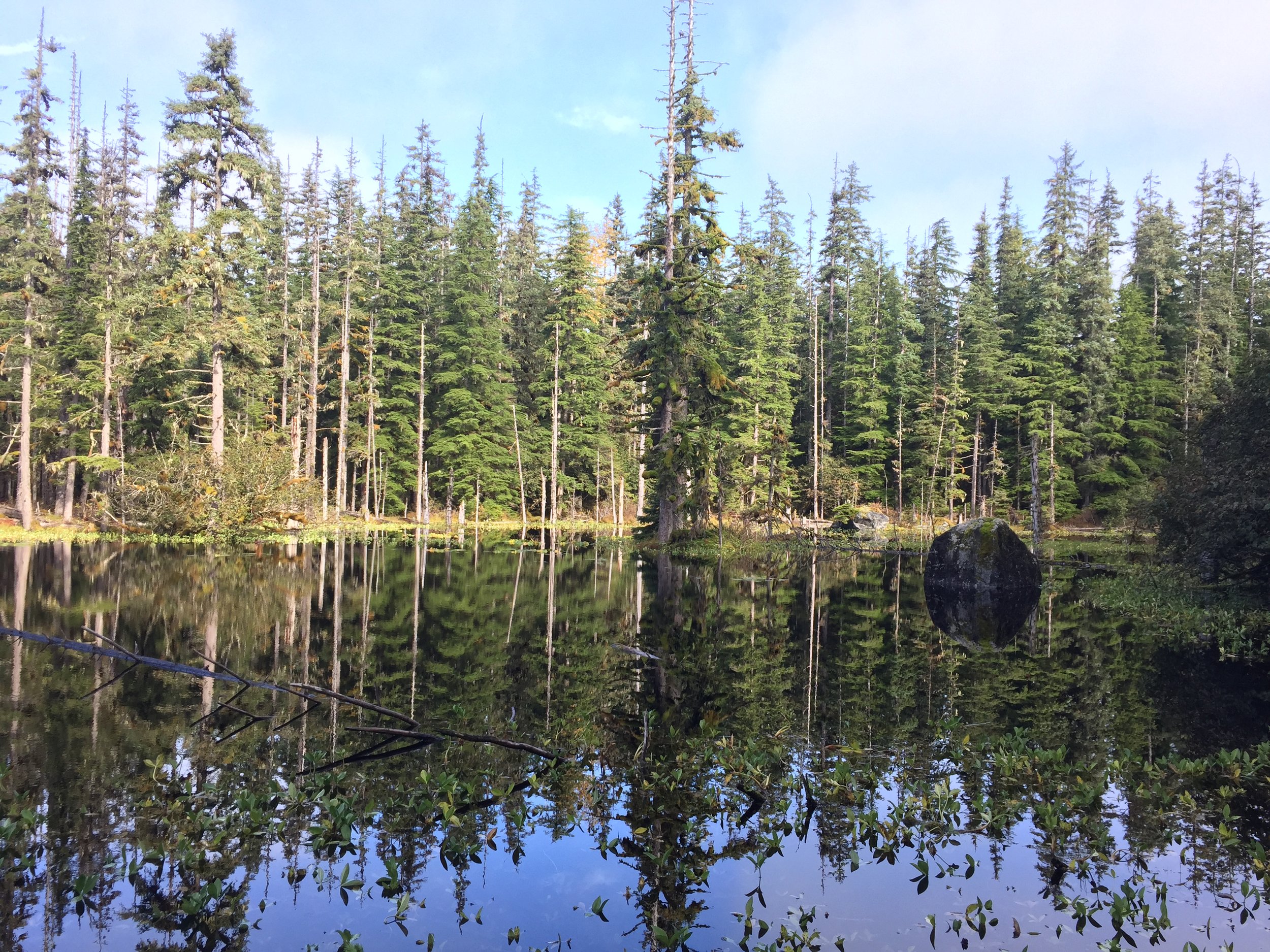
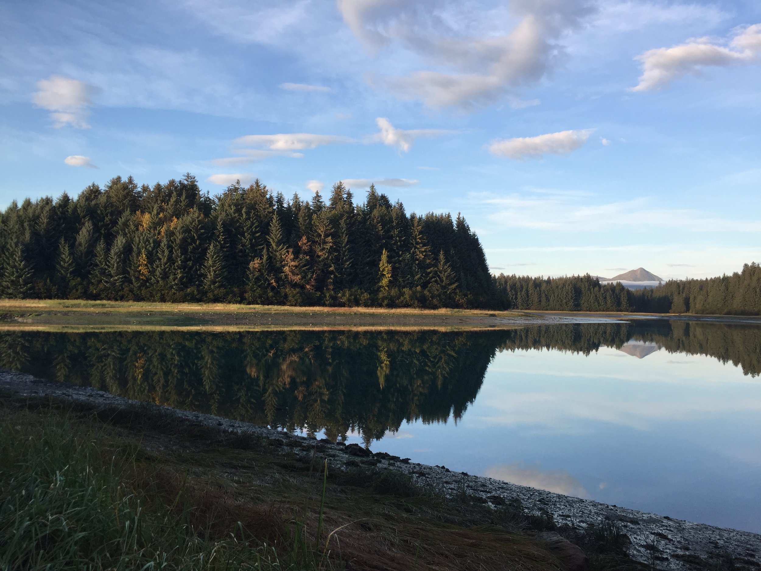
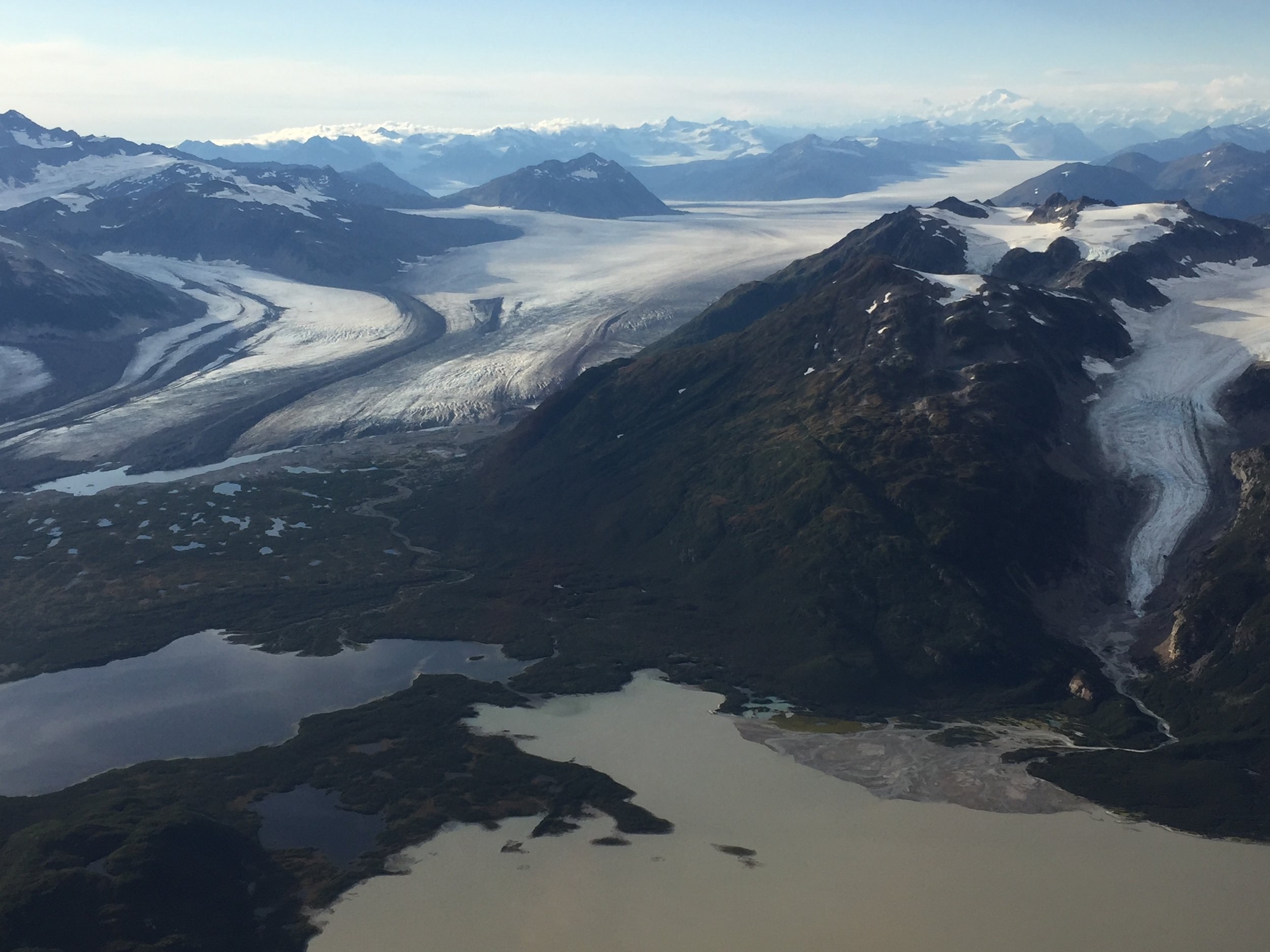
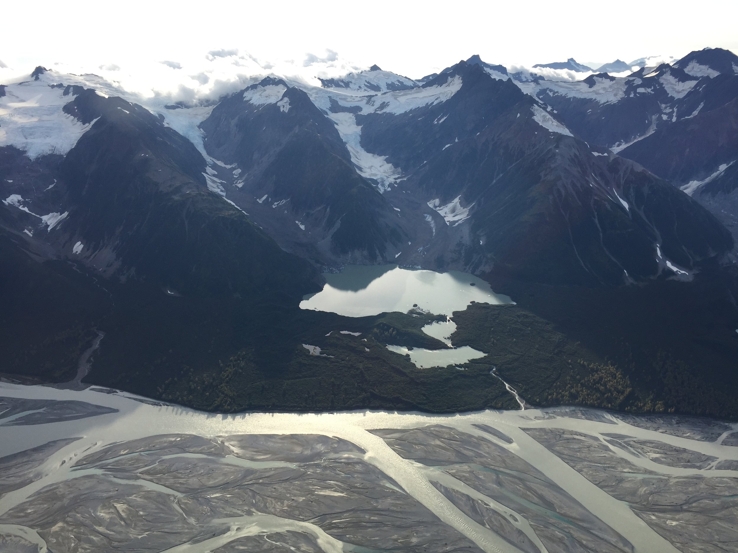
From September 18-24, GSS staff members Andy Nadeau and Kevin Benck traveled to Juneau by plane, and then took a 7-hour ferry from Juneau to Gustavus, Alaska. From there, NPS staff drove Andy and Kevin to the park, where they would stay in park housing for five days for project kickoff meetings. While most of the days were spent inside at park headquarters discussing how the wilderness character assessment would be processed and analyzed, Kevin and Andy were able to get out into the field to experience the wilderness first-hand.
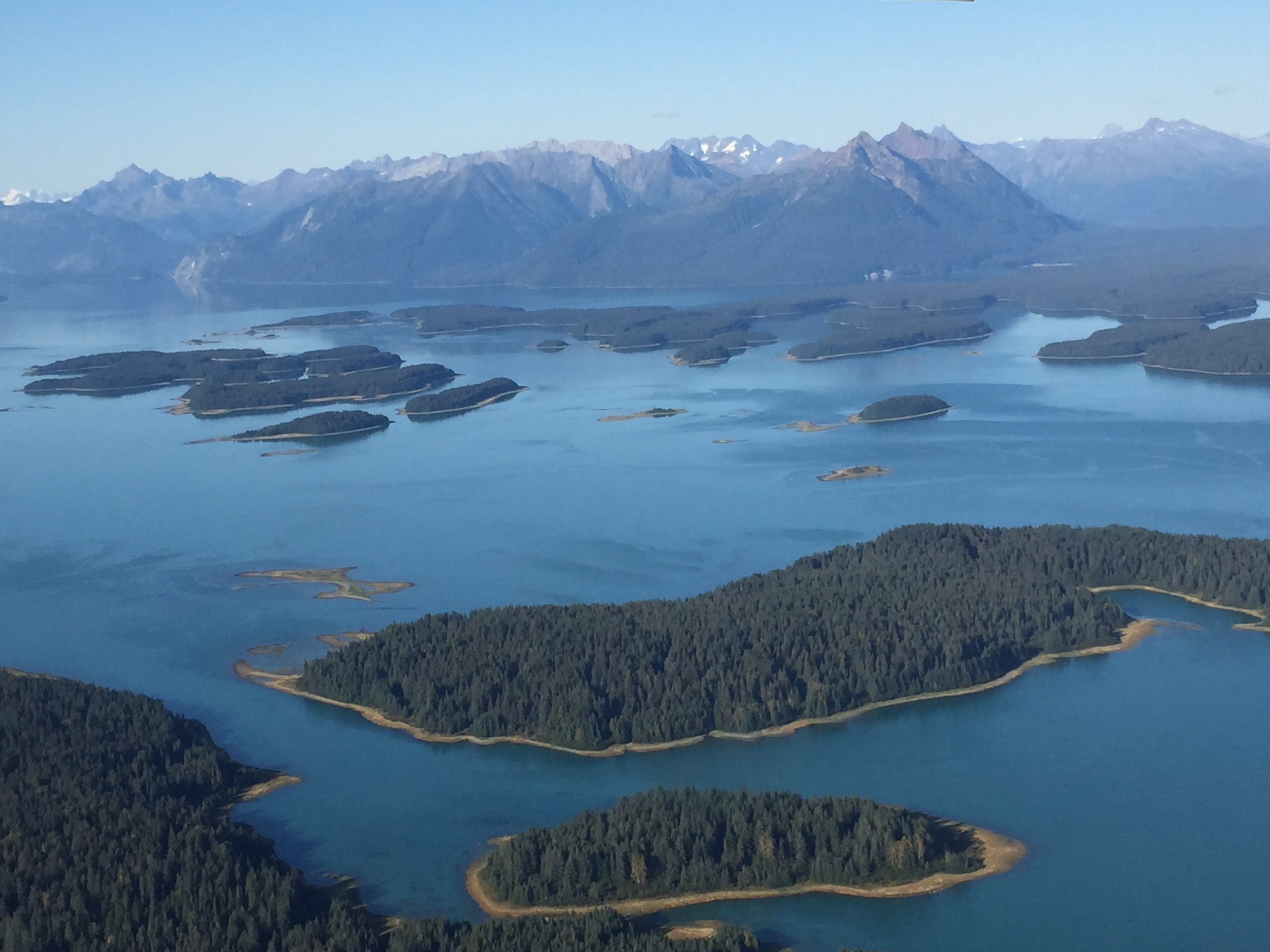
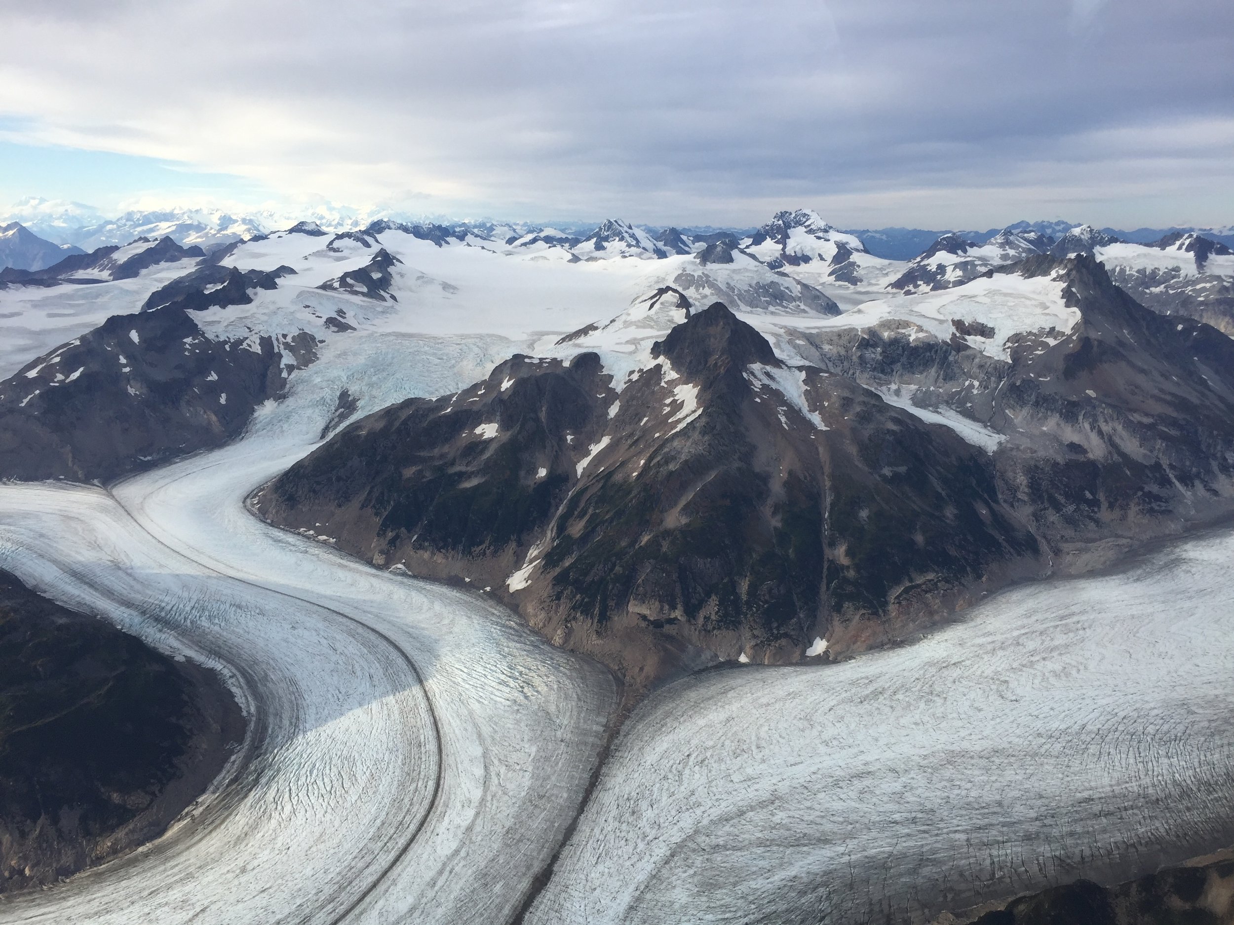
Flight route Andy, Kevin, and NPS staff took to get a birds-eye view of the park
On Tuesday, they hiked 10 miles around the Bartlett Cover area, including a hike through designated wilderness to the Bartlett River, and additional beachcombing through Bartlett Cove and Halibut Point. On Wednesday, Andy, Kevin, and two park staff took a 2-hour plane ride over the park to get a birds-eye view of the size of the park, the extent of the designated wilderness, and the glacial coverage of the area. The flight was a once-in-a-lifetime experience and the weather was incredibly cooperative!
At the conclusion of the meeting, Andy and Kevin had completed an initial framework for the wilderness character assessment, including what qualities of wilderness would be measured and what metrics would be used to define condition. At the conclusion of the entire project (Summer 2018), GSS will deliver a full report, rich with spatial components that will highlight the condition of wilderness in the park and what threats the park may be facing.
Quote taken from NPS: https://wilderness.nps.gov/faqnew.cfm
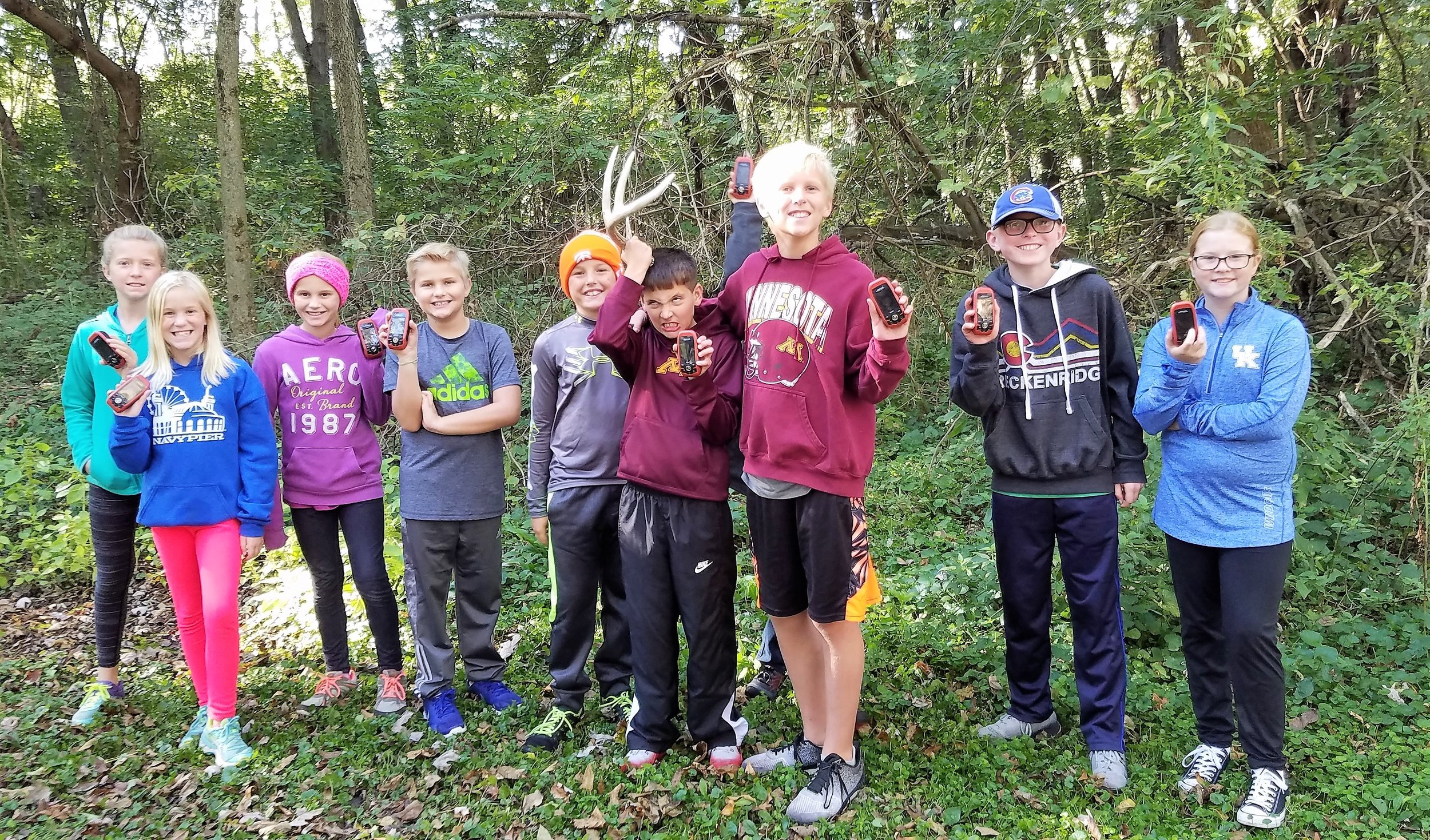
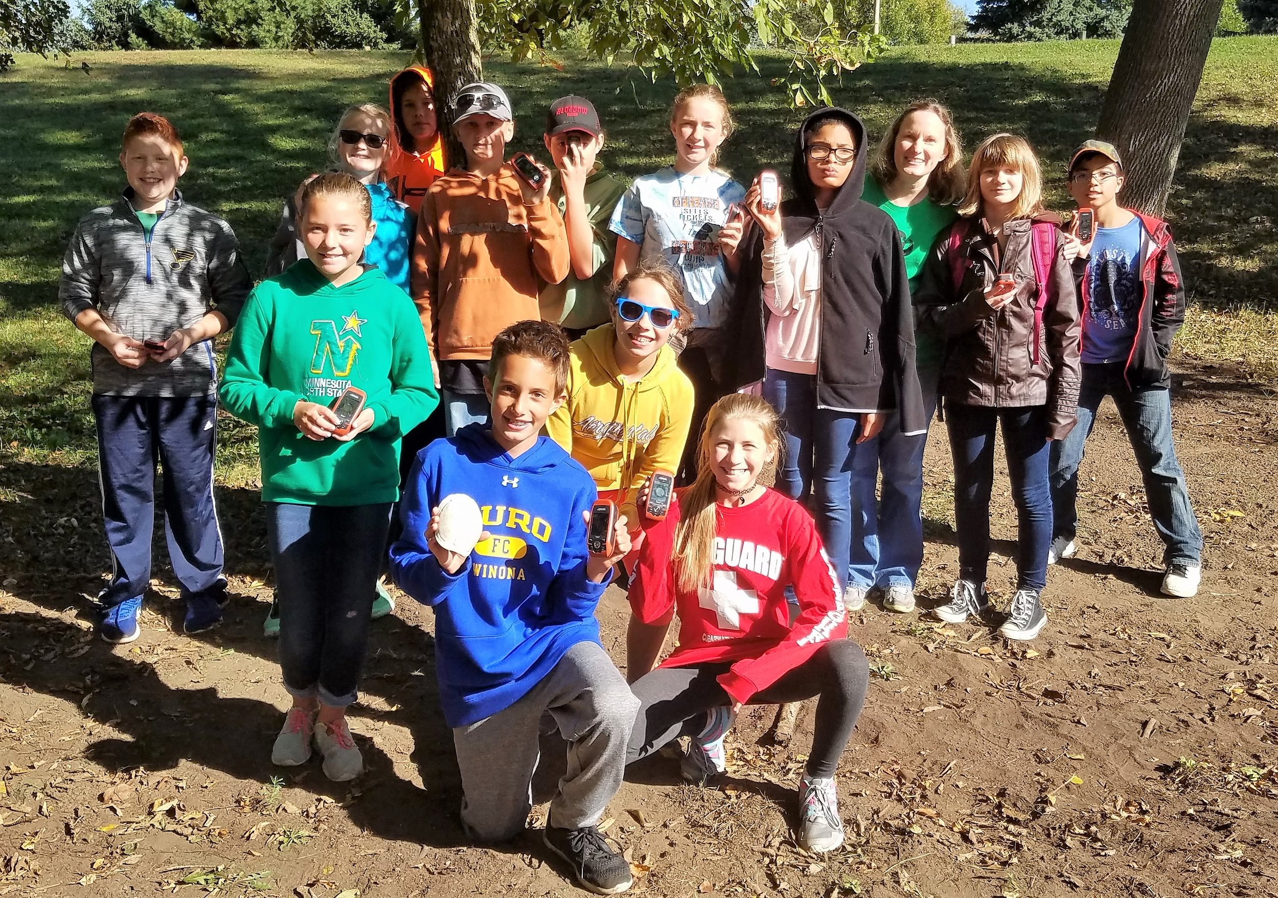
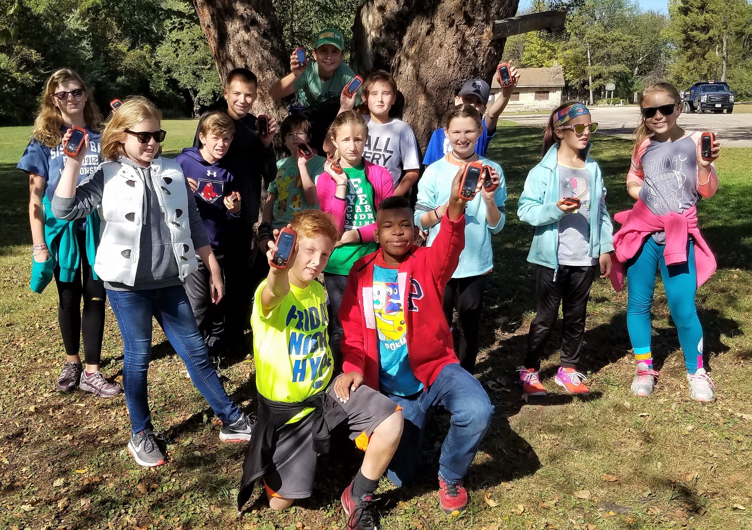
St. Stans Field Day
As part of their annual River Field Day, over 100 students from St. Stanislaus School in Winona came down to GSS to learn about orienteering. The group of fourth, fifth, and sixth graders spent about a half hour at both the compass navigation and the GPS navigation stations. To help them understand how to use a compass, they had to move from one spot to the next using their newly developed compass navigation skills. Then over at the GPS navigation station, students encountered a scavenger hunt where they were given clues to find outdoor-related treasures using their GPS unit.


GSS Spotlight!

Zack Ansell
Student Intern
What is your education and professional background?
I am an undergrad studying Criminal Justice with a Law Enforcement emphasis; my minor is in GIS. My work experience background is primarily farm work whether working on my family's farm or neighboring farms around my hometown.
What made you get into GIS? More specifically, how did you get to Saint Mary's University of Minnesota (SMUMN) in Winona?
I got into GIS after I was introduced to the work by a family friend who does GIS work for the University of Minnesota. It sounded interesting and I thought it might be something I would like! I grew up in Rushford Minnesota (about 30 minutes from Winona) and both my parents worked at SMUMN; my dad was who made me aware of GSS.
Explain briefly a project at GSS you've done that contributed to your overall knowledge and skillset.
At GSS, I remotely delineate and classify wetlands for the Northwest MN NWI Update mapping project through the MN Department of Natural Resources. Due to my background in farming, along with years of looking at aerial imagery for hunting and fishing, this project really worked for me! I had a good understanding of wetlands going into it but have been learning more along the way.
How do you see GIS fitting into your future?
I see GIS providing me with an added skillset when applying for jobs working in the natural resources law enforcement field.
Where can we find you outside of GSS?
I am usually fishing on the river, hunting waterfowl or deer, or working on my family's farm.
Cascade Meadows: Student Interns 2017
For the second summer in a row, GSS staff assisted in supervising summer student interns at the University's Cascade Meadow Wetlands and Environmental Science Center in Rochester, MN. The interns were junior Environmental Biology majors Katie Ethen and Abby Propsom.

Interns on the Cascade Meadows lake!
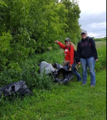
In May 2017, the interns removed nearly a dozen large garbage bags full of garlic mustard, an invasive noxious weed, from a tree line on site.
Under the guidance of SMU Biology Department faculty and GSS staff, the students worked to control invasive plant species in wetland and prairie restorations, established and sampled vegetation plots, collected aquatic data from the on-site lake, and helped to document 170 plant species on the property, over which 120 are native! This year, interns also documented bird and small mammal species found on site.
The Cascade Meadows interns and supervisors Kathy Allen (GSS) and Moni Berg-Binder (Biology) shared lessons learned from the Cascade Meadow and how it related to other native plant gardens during a presentation August 29th at the Cascade Meadow Center as part of the Stormwater Presents Speaker Series, a monthly program featuring topics related to stormwater management in the City of Rochester. The interns are also preparing a poster about their vegetation samples results to present at an undergraduate research conference fall 2017.

Presenting at the Stormwater Presents Speaker Series
GSS Spotlight!
Reed Fry
Student Intern
What is your background in education and professional experiences?
In 2014, I received a B.S. Business Administration degree from Drake University in Des Moines, Iowa. I spent the following two years working as a commercial underwriter for a community bank. My internships in college included work in finance, marketing, and recruitment.
What made you get into GIS? More specifically, how did you get to Saint Mary's University of Minnesota (SMUMN) in Winona?
Maps have always intrigued me. They are an interesting blend of purposeful data representation and art. In December 2015 I discovered the field of GIS while speaking to a family friend and by the end of January 2016, I had already sent in my application to SMUMN. Before committing to the program, I visited Winona and was impressed with how beautiful the town was and how friendly the staff at SMUMN were. Speaking with John Ebert (GIS Dept. Program Director) during my visit erased any doubts I may have had to fully commit.
Explain briefly a project at GSS you've done that contributed to your GIS knowledge and skillset.
For a period of two months, I worked with Kevin Benck (GSS GIS Analyst) on a project with The Nature Conservancy to analyze the relationship between land cover and water quality protection in the Cannon and Zumbro watersheds of southeast Minnesota. I learned about appropriate data acquisition, hydrology analysis, elevation analysis, ensuring data integrity, and generating an articulate and comprehensive report for our client. I plan on using this analysis for my graduate project in order to receive my M.S. in GIS.
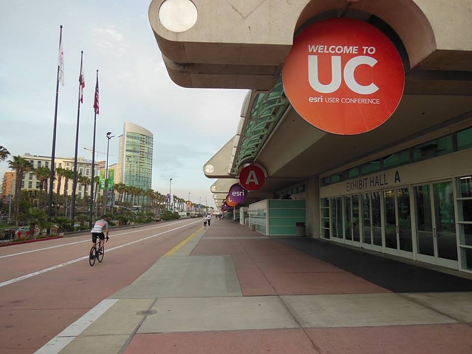
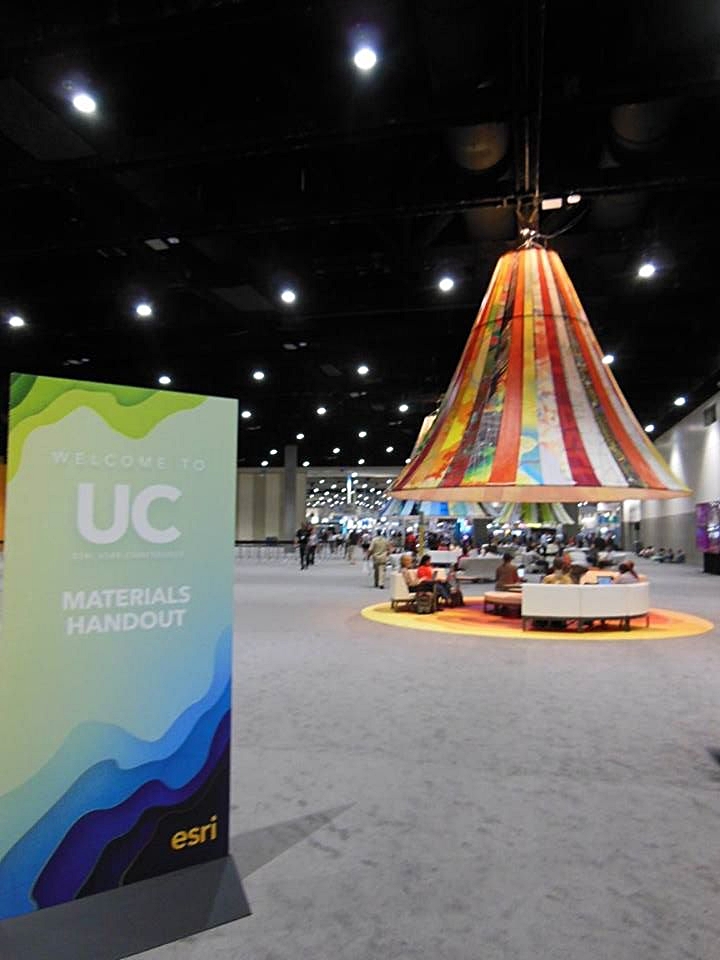
You were accepted into the Esri User Conference (UC) 2017 student assistant program! How did you hear about this position and what was your experience like?
I first heard about the Esri UC from Andy Robertson, the director of GSS, in December 2016. He referred me to Hannah Hutchins, a GIS Analyst at GSS, who attended the conference as a student assistant a few years prior.
My experience was very fulfilling! All 60 student assistants are considered Esri employees for the duration of the conference. While working a shift or taking advantage of my free time to explore the conference center, I met thousands of people from all walks of life from all over the world. I developed close connections with GIS professionals from 42 to 50 states and three foreign countries: Canada, Indonesia, and Switzerland. This does not include the close relationships that grew from working with my 59 student assistant peers. By the end of the conference, the student assistants became close friends. We keep in touch by using a group Facebook page. We plan on using the page to stay connected, discuss GIS topics and questions, and inquire about career advice!

How do you see GIS fitting into your future?
If GIS isn't all-encompassing, it's close. It can be used in many fields such as natural resource conservation, supply chain management, economic analysis, political analysis, emergency planning management, military operations planning, and urban planning. I hope to use my skills for natural resource conservation, economic analysis, or urban planning for my professional career. I can also use GIS in my free time! I recently reached out to one of my favorite authors who wrote a biography of Andrew Jackson. I would love to create an Esri Story Map that readers can use in conjunction with the book to help understand where and when Jackson was depending on the page the reader is on.