GSS Alaska 2026 Part 2: In the field for Projects of the Alaska Range and Cook Inlet Ecoregions
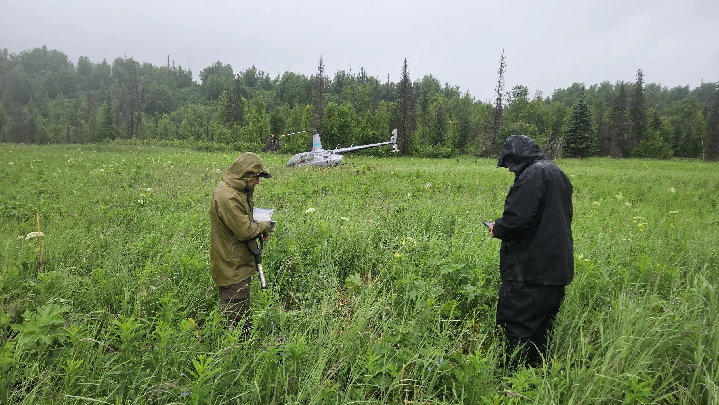
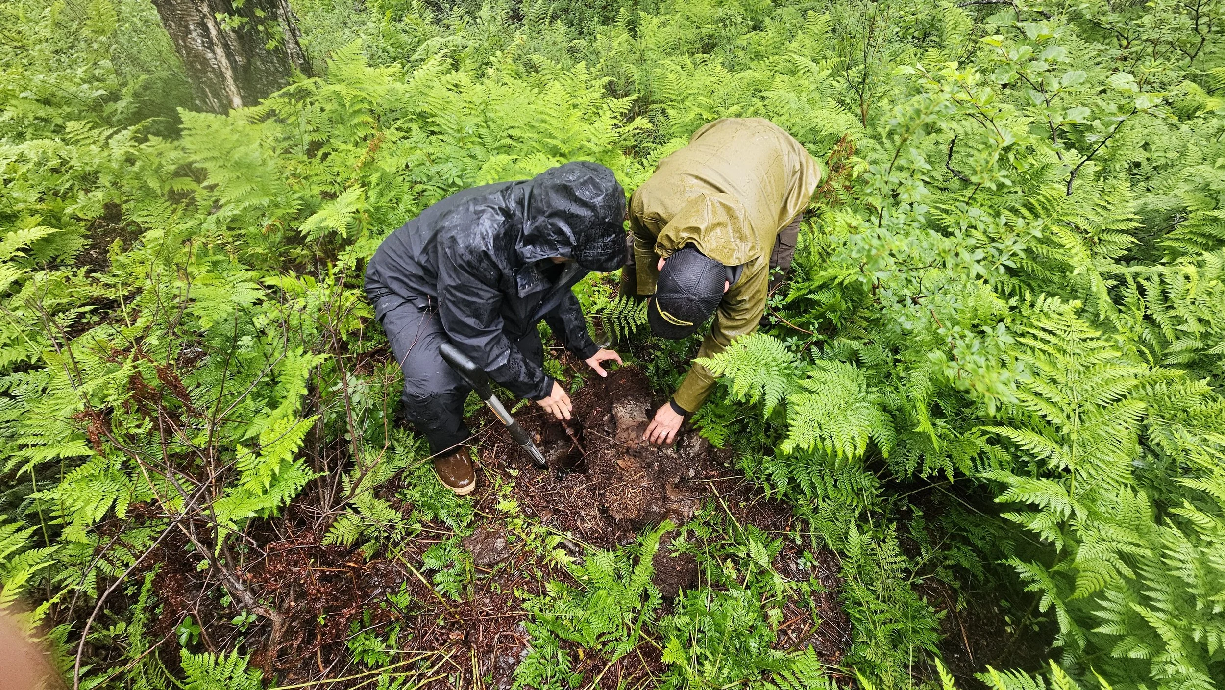
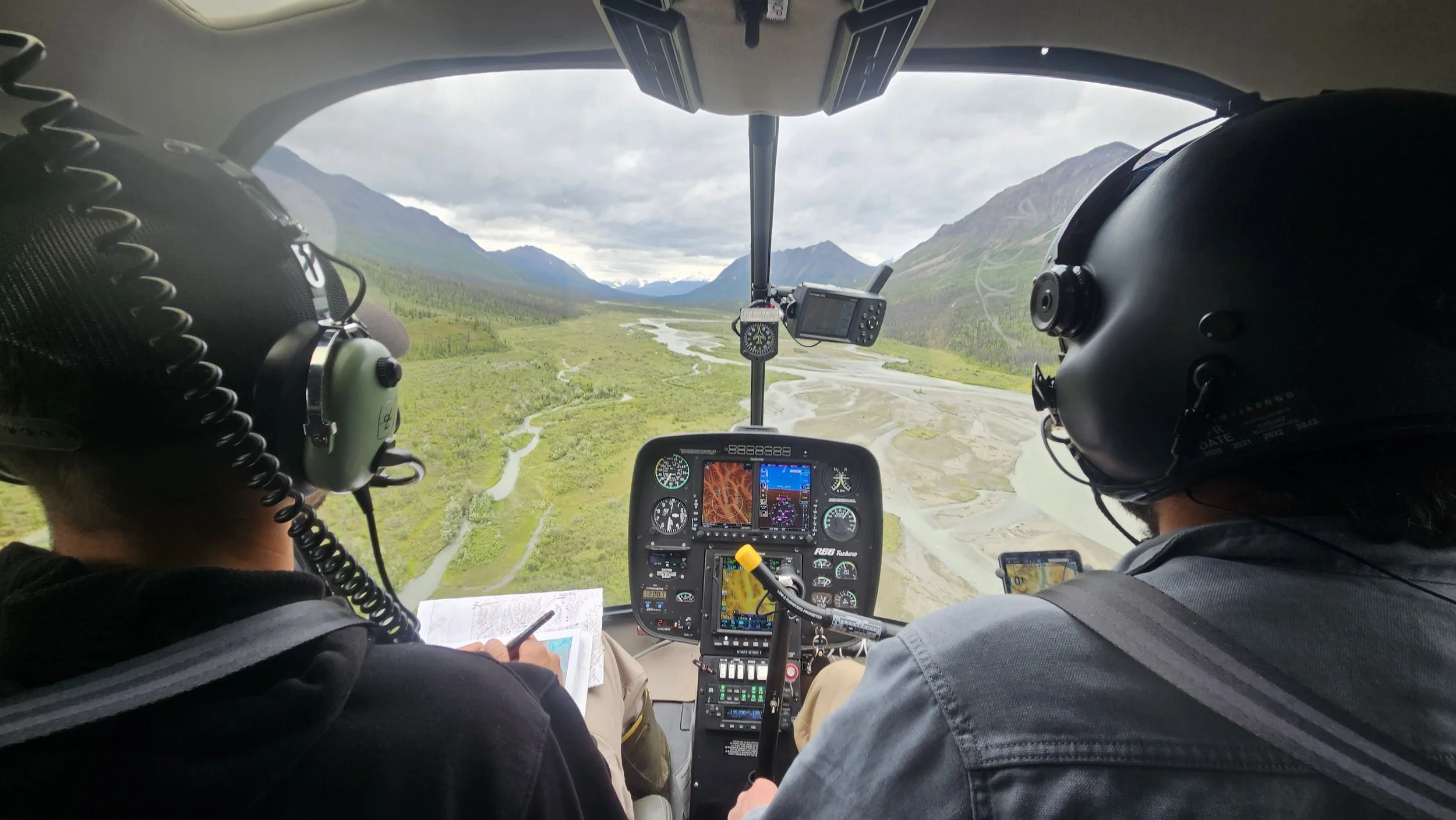
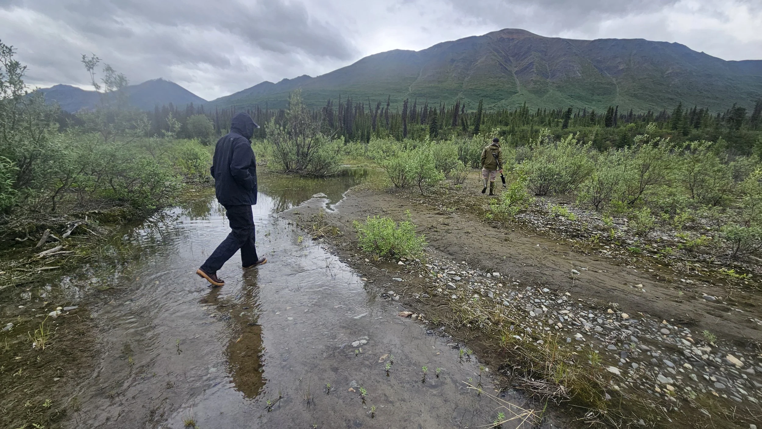
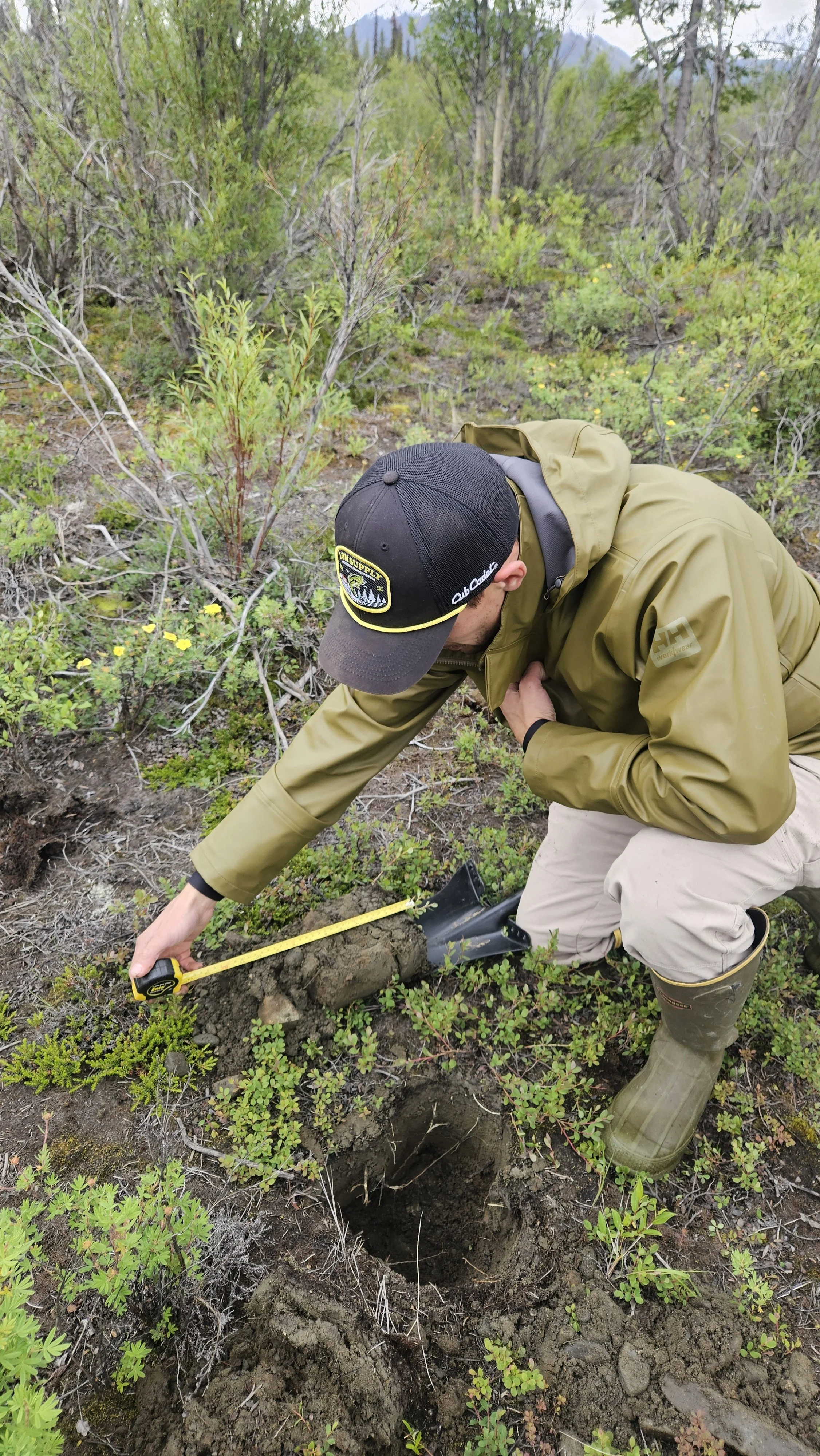
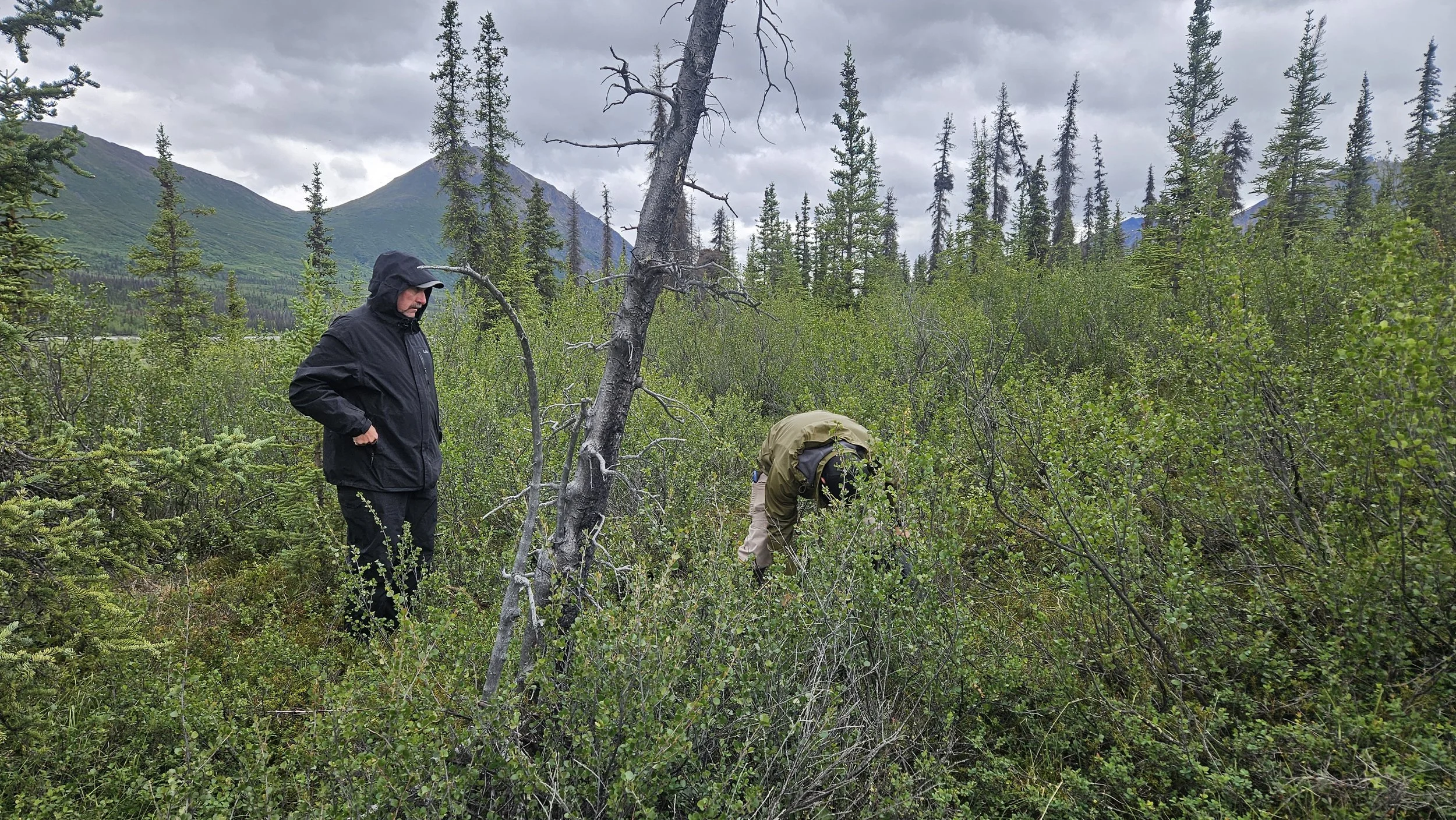
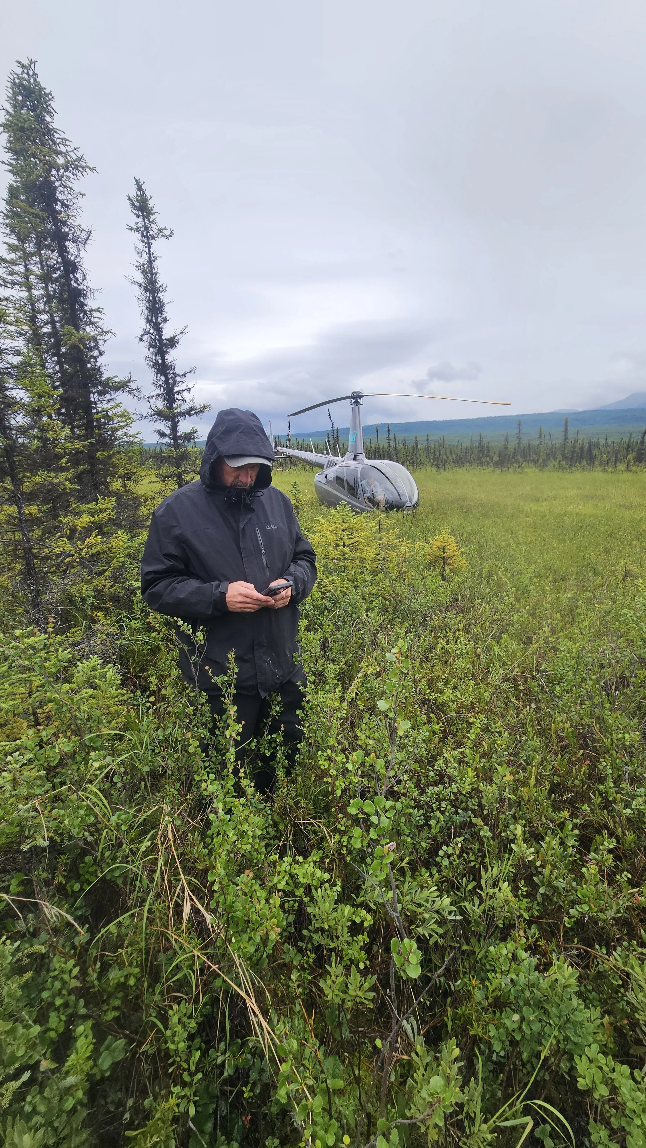
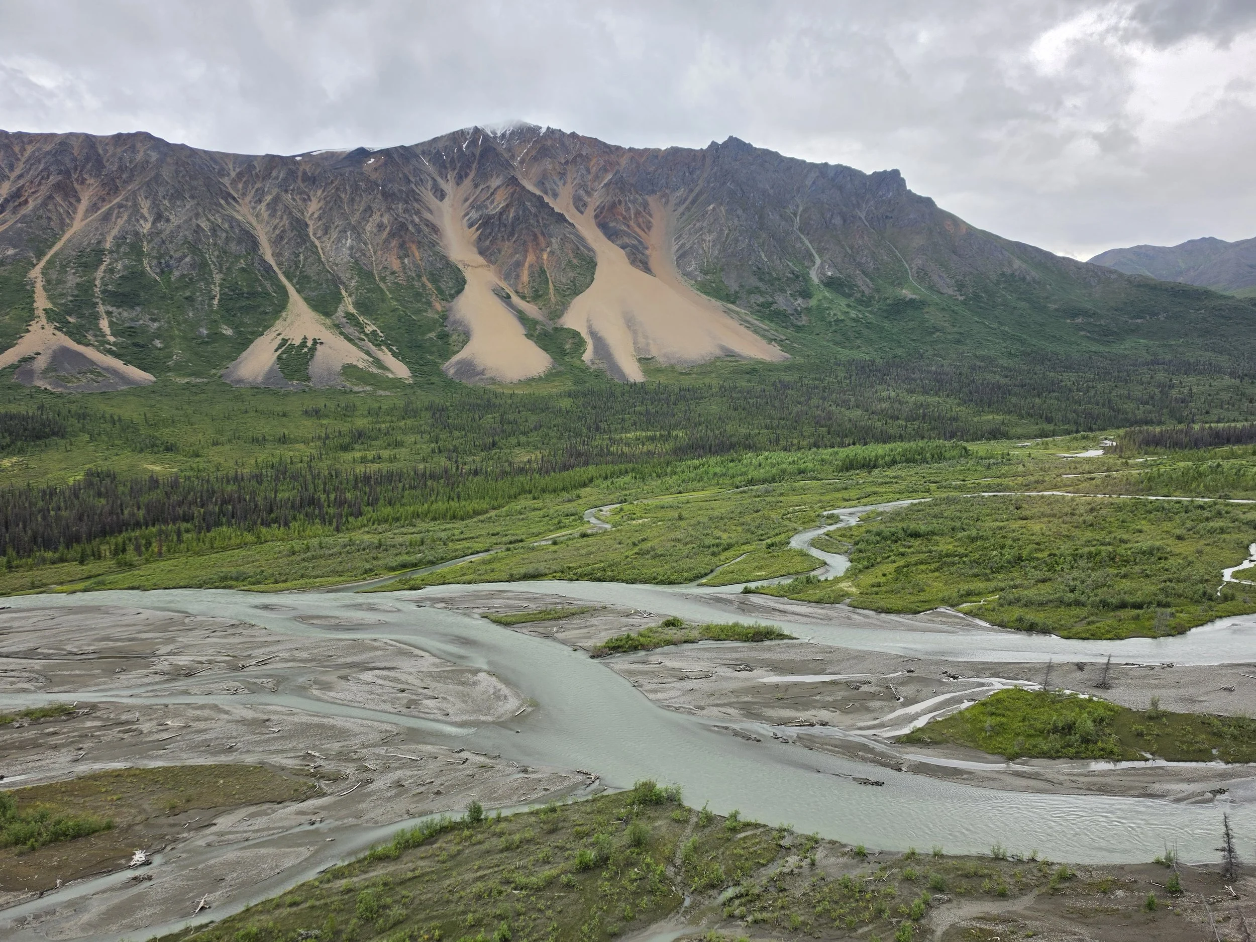
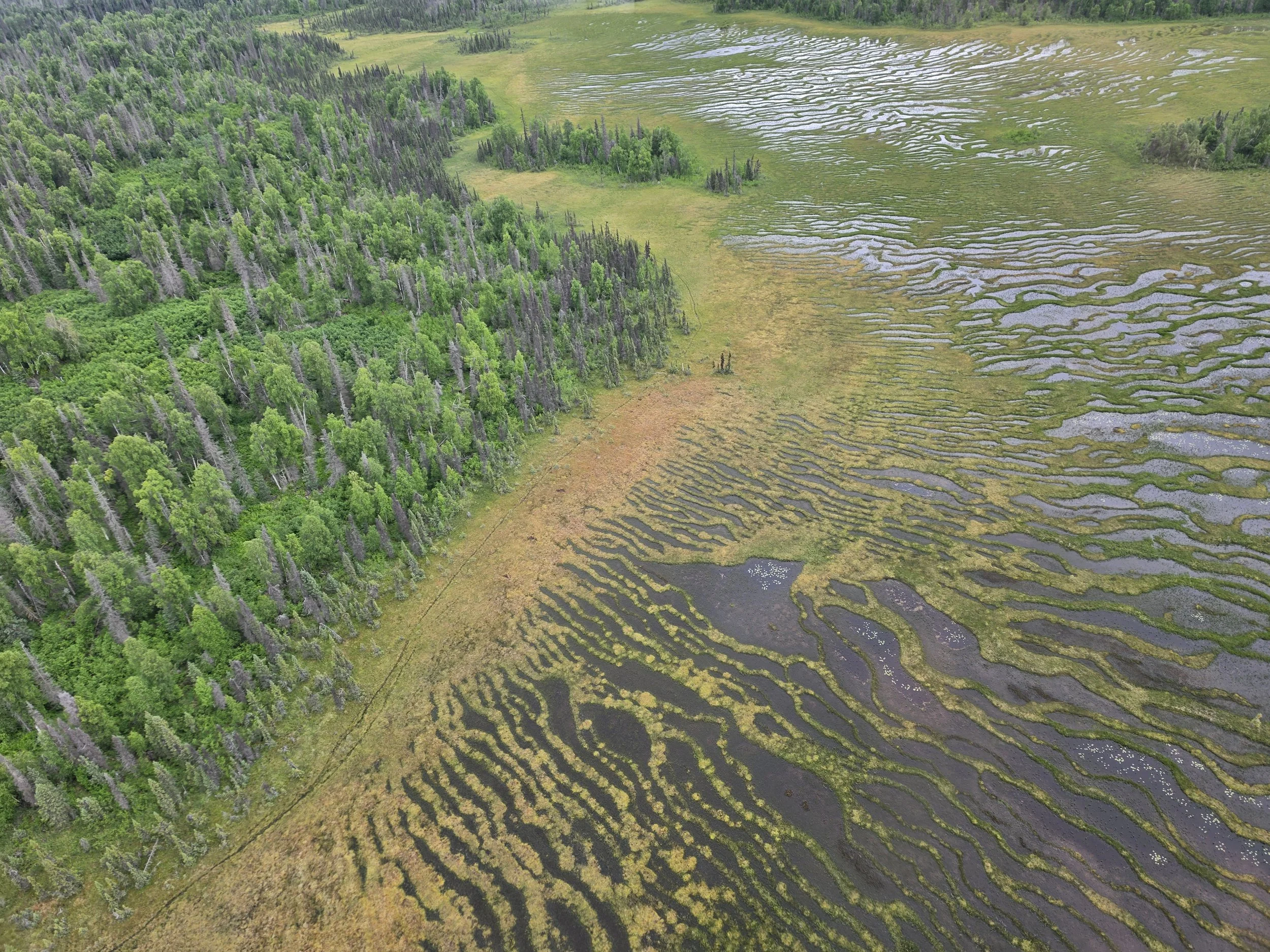
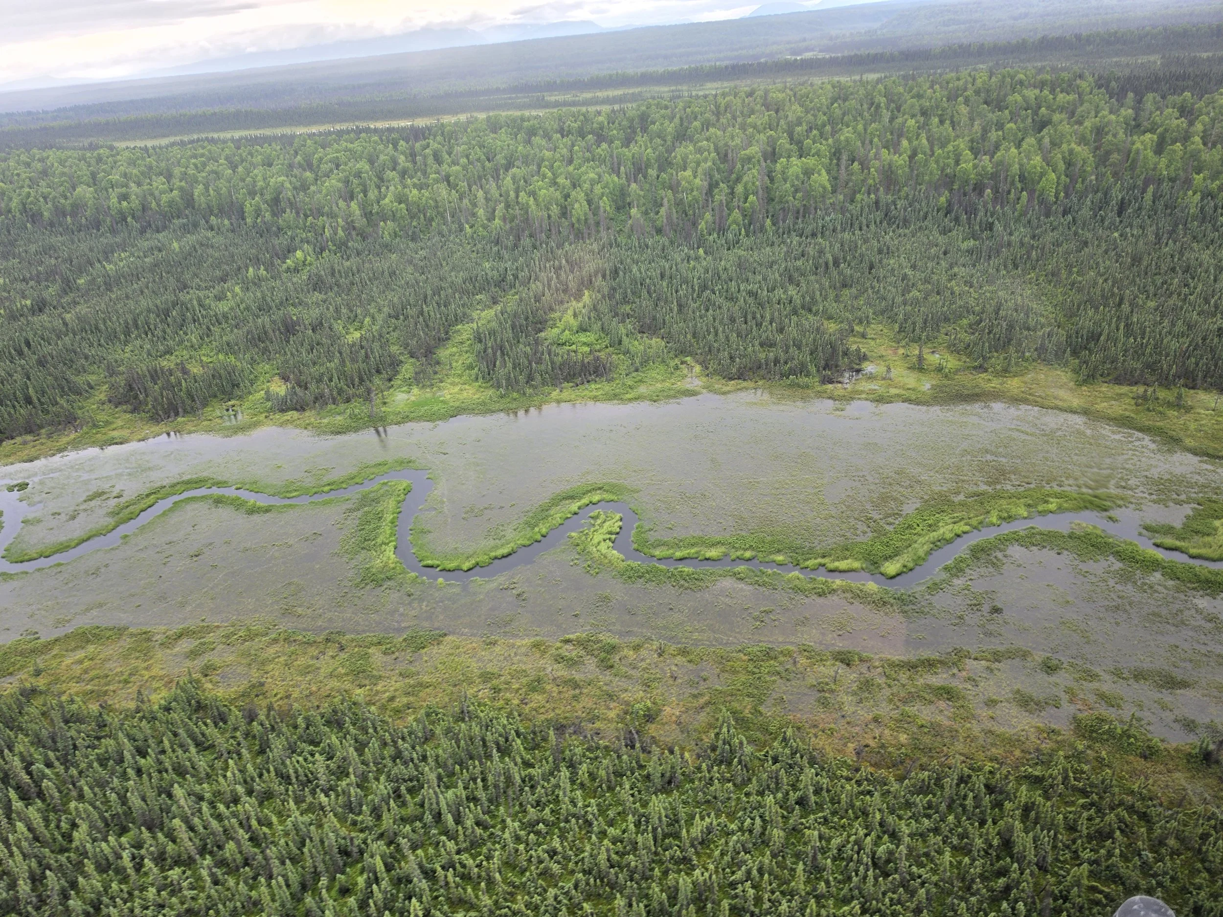
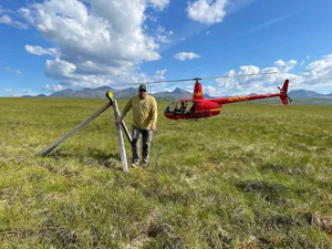
Verification is one of the most critical phases of accurate geospatial analysis, ensuring that what we map from satellite imagery and aerial data reflects the reality on the ground. From July 19–24, Andy Robertson, Ben Moonen, Kevin Stark, and Eric Lindquist teamed up in Alaska for a dedicated week of helicopter-assisted project verification.
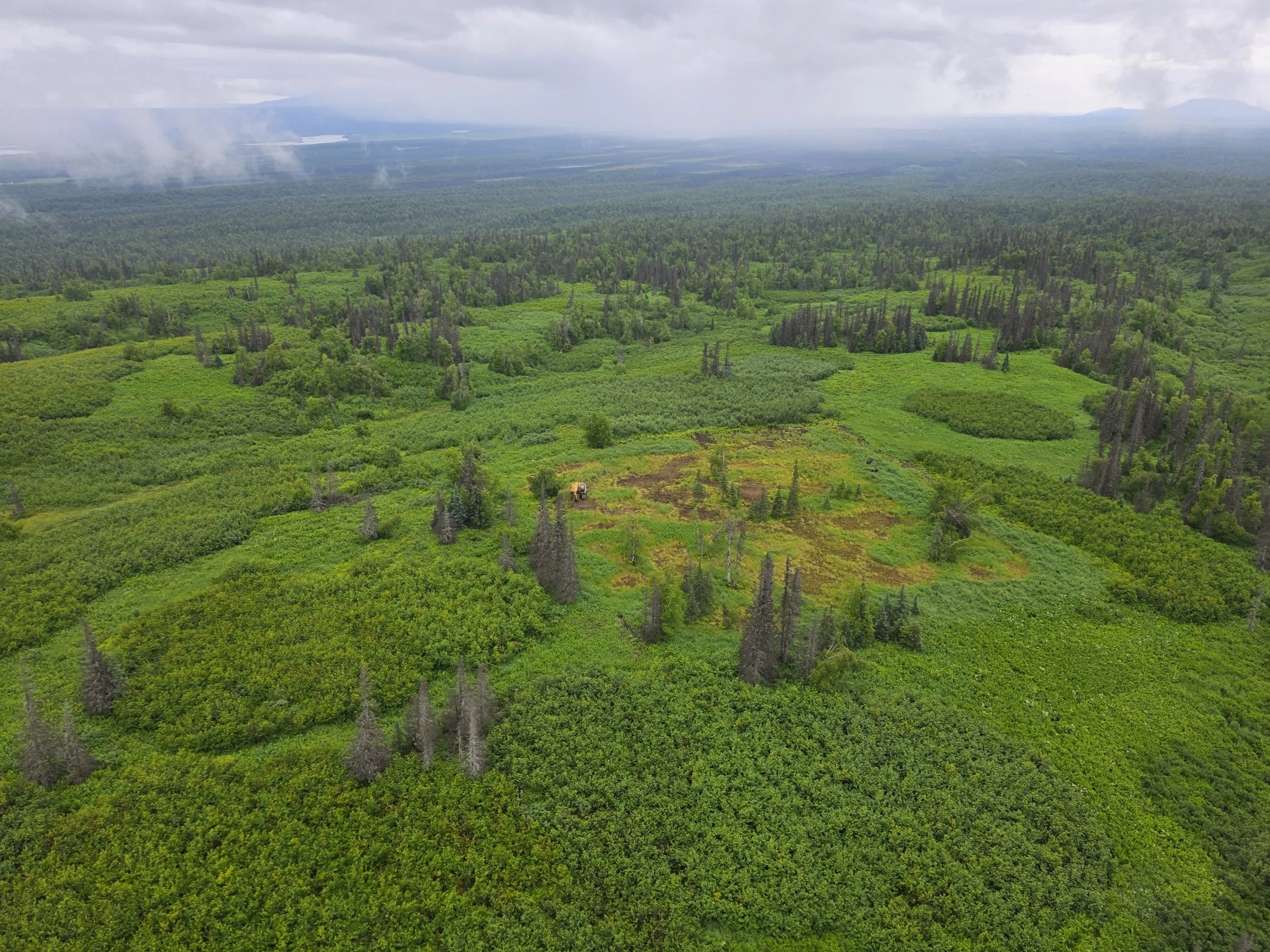
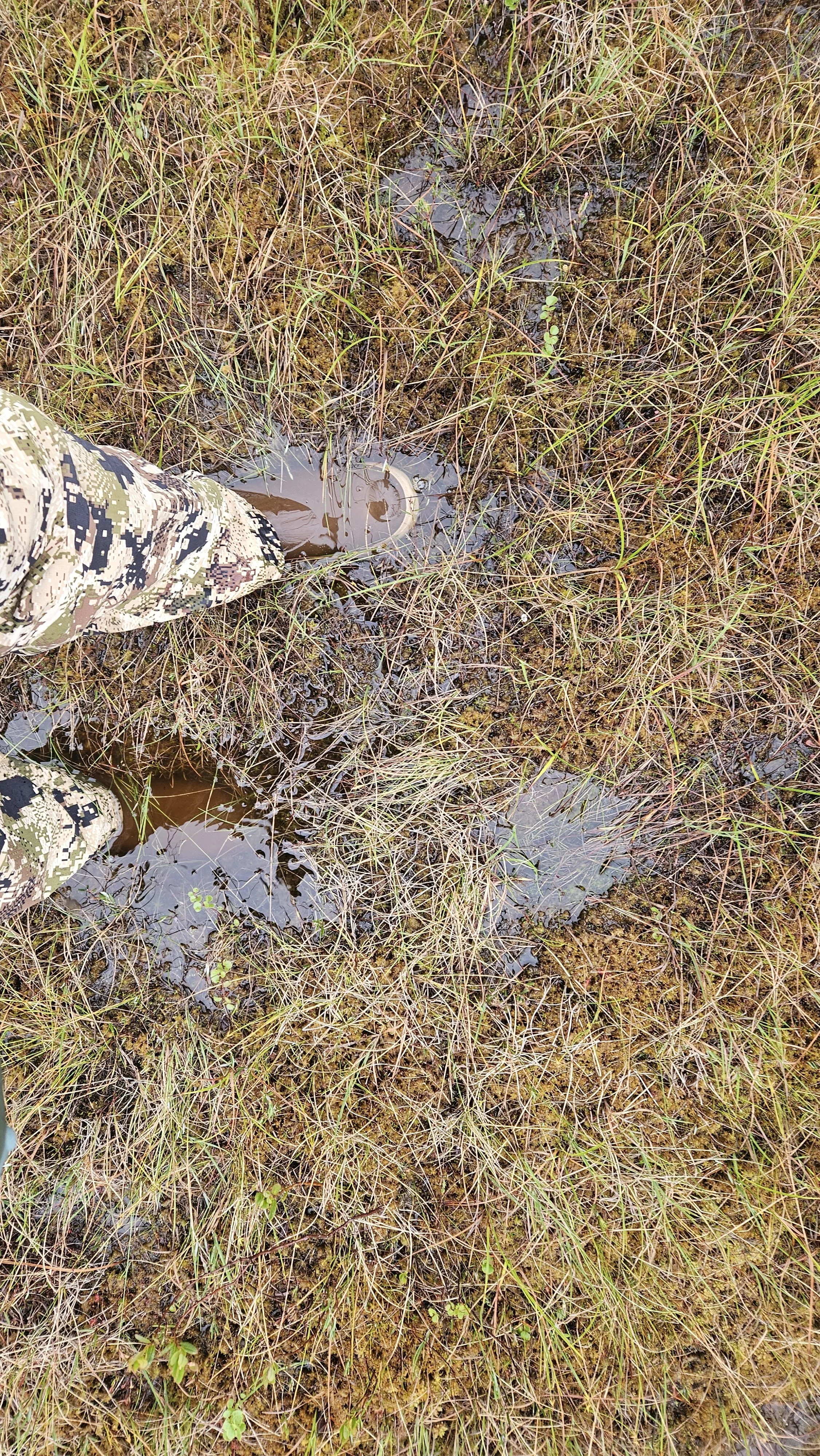
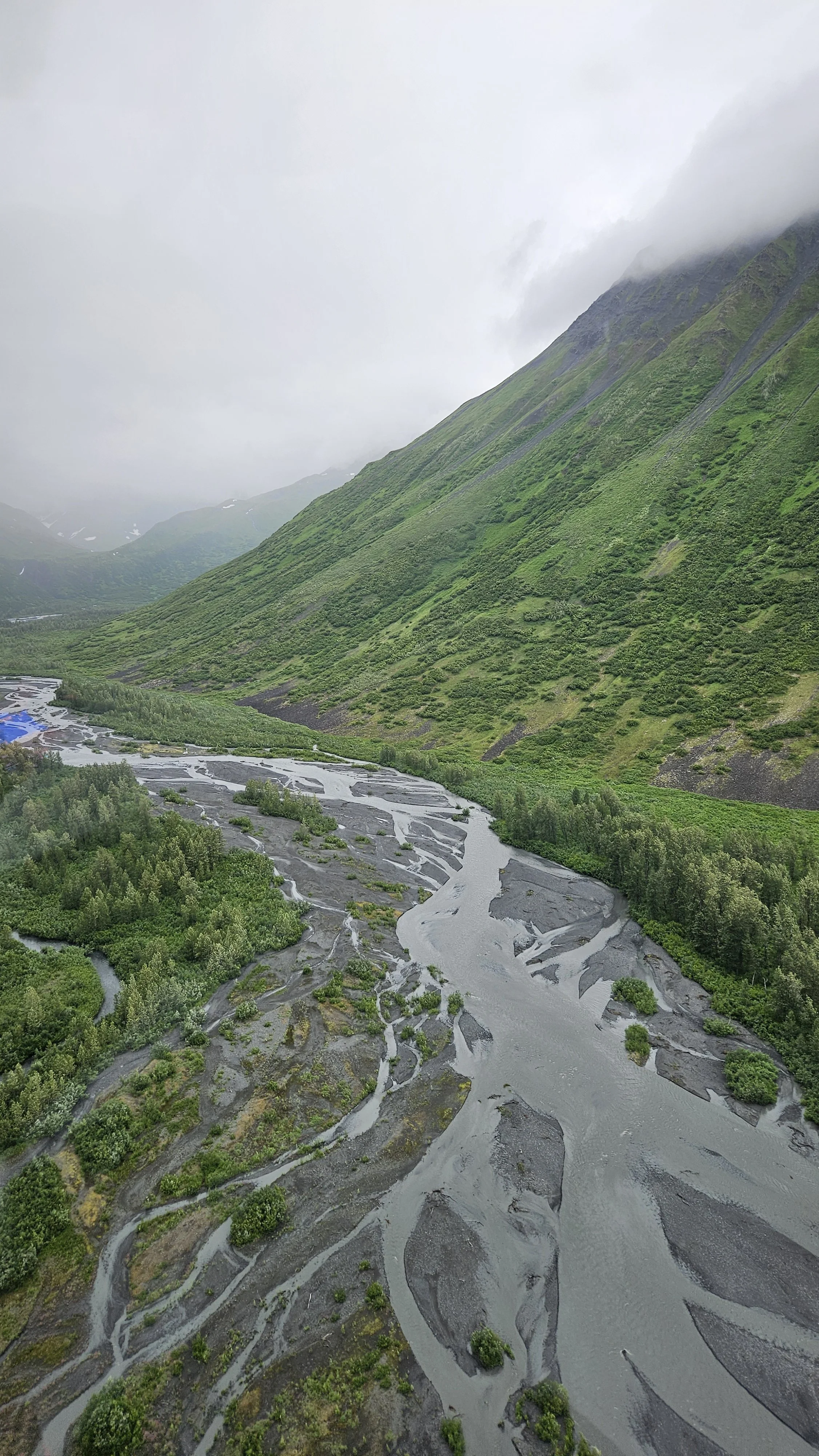
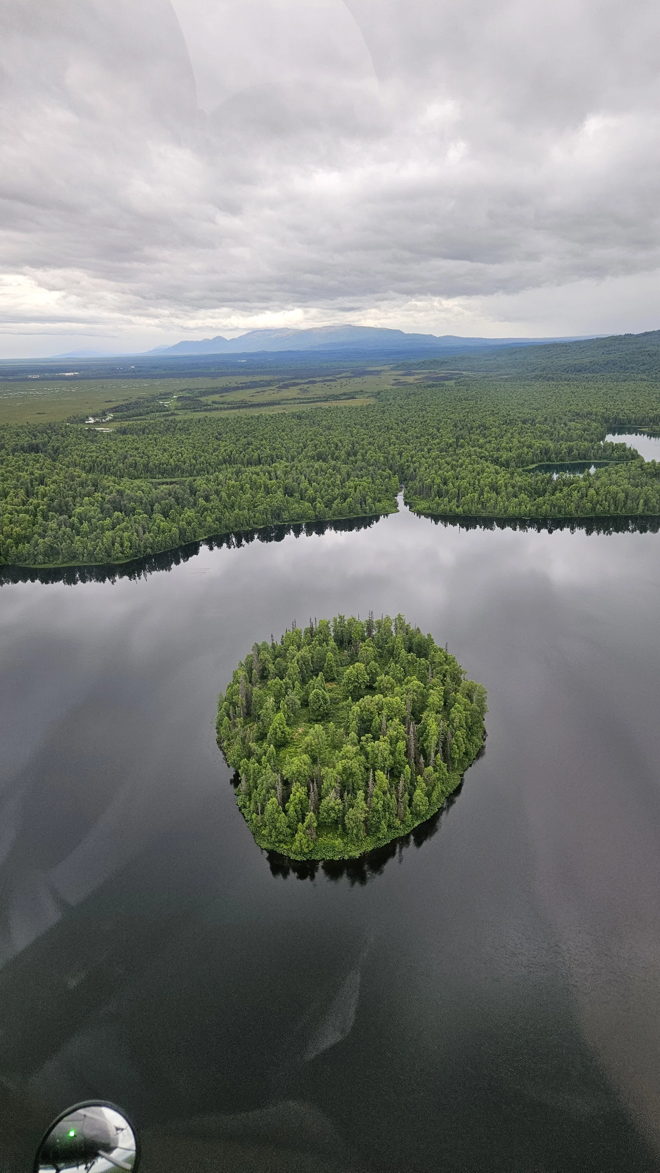
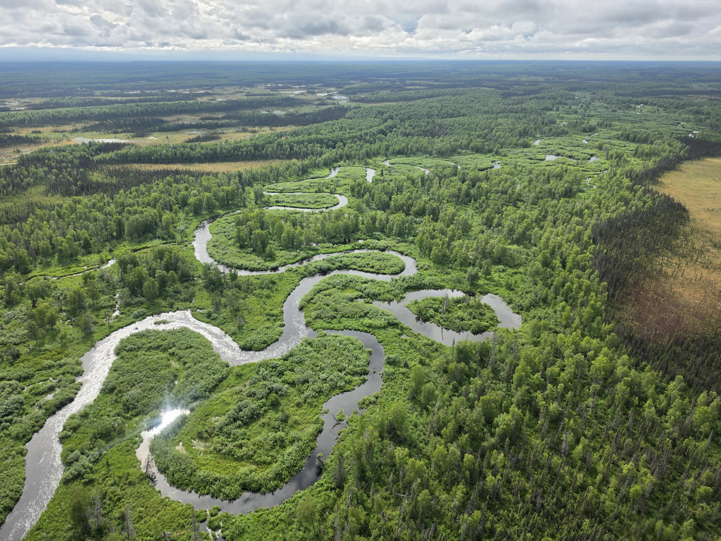
Navigating remote and rugged terrain via helicopter allowed the crew to rapidly cross-check satellite classifications across current project areas. This crucial field check validates our land cover and wetland datasets, helping GSS deliver top-tier geospatial resources to our partners and clients working across complex northern landscapes.