

NEWS
Kenai Peninsula Fish Habitat Partnership Science Symposium
On April 5th through the 6th 2017, Jeff Knopf of GSS traveled to Sterling Alaska to present at the Kenai Peninsula Fish Habitat Partnership Science Symposium on the National Hydrography Dataset (NHD) updates that were completed by GSS staff and students on the Kenai Peninsula in partnership with the Kenai Watershed Forum. Jeff's presentation ranged from the overall need for NHD updates across Alaska to the specific process of updating the NHD on the Kenai Peninsula. Jeff also informed attendees at the conference on topics such as NHD requirements and processing to the enhanced NHDPlus database, along with ways to better collaborate with the community to inform them of the work being done to maintain healthy salmon habitats.
EPA Tribal Environmental Program Management Conference
GSS Project Manager Kevin Stark traveled to Chicago to co-present at the EPA's 2017 Tribal Environmental Program Management Conference. Conference attendees included tribal environmental programs across EPA's Region 5, which covers 40 federally-recognized tribes in Minnesota, Wisconsin, and Michigan.
Kevin presented with Angela Waupochick, the Stockbridge-Munsee Community's hydrologist. GSS is currently working with the Stockbridge-Munsee community on a project to incorporate Esri Story Maps, an online and interactive application that combines maps and storytelling, into a website to aid in local outreach to the Stockbridge-Munsee tribal community members and the general public.

ASWM Annual Sate/Tribal/Federal Coordination Meeting
GSS Director, Andy Robertson, presented at the annual Association of State Wetland Managers (ASWM) conference, "Using Sound Science and Effective Communication to Strengthen Wetland Conservation, Restoration and Management", on April 12th, 2017. The conference was designed so agencies across the nation could gather to present their work and share ideas on wetland-related topics. The entire conference lasted from April 11th through the 13th, 2017 and was held in Shepherdstown, West Virginia.
GSS Staff Travel to National Seashore
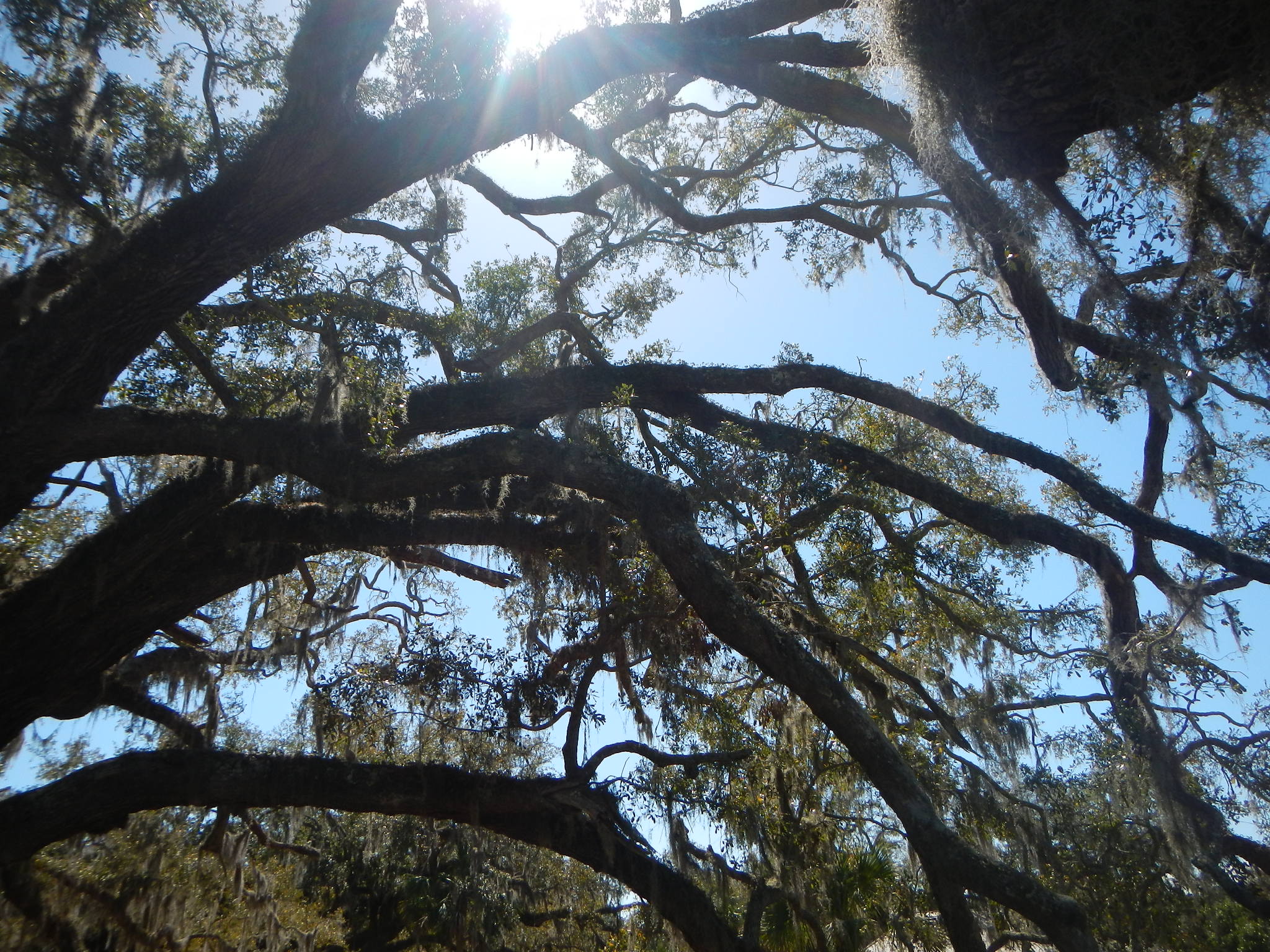
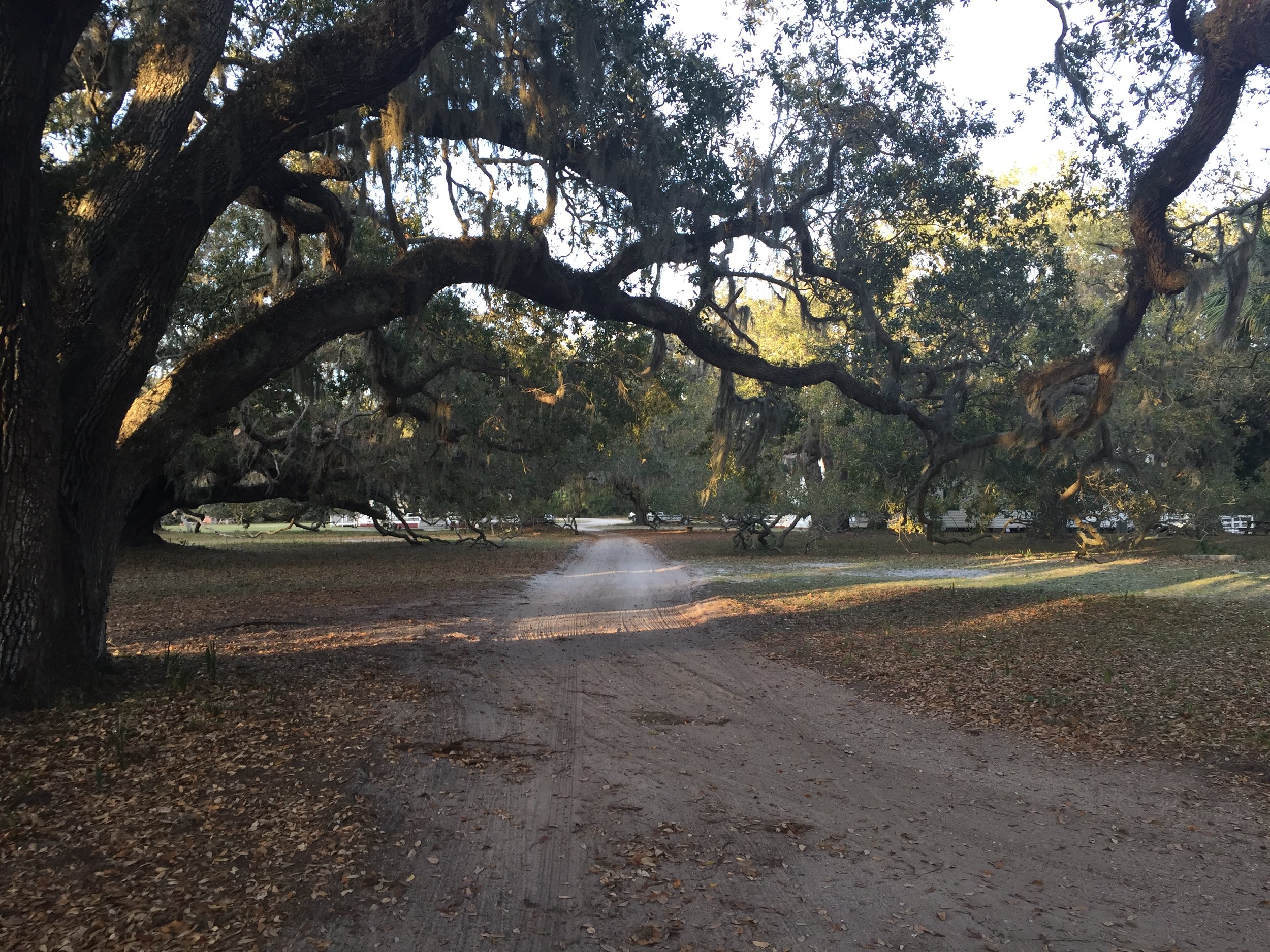
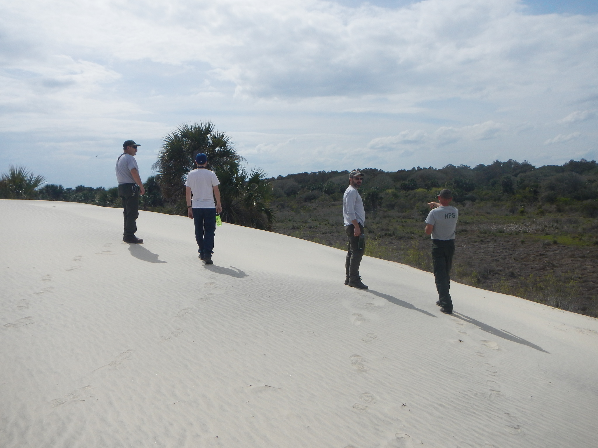
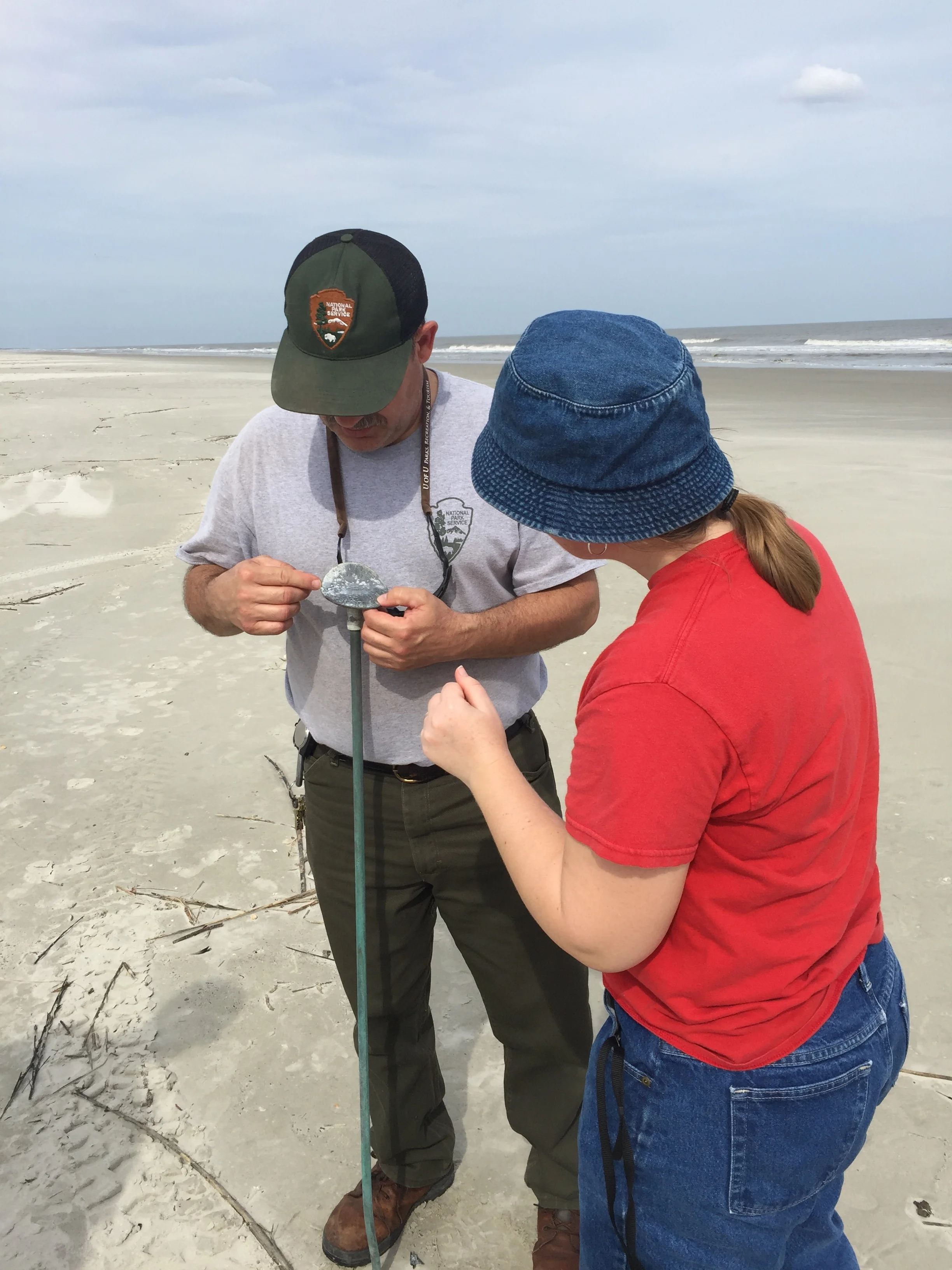
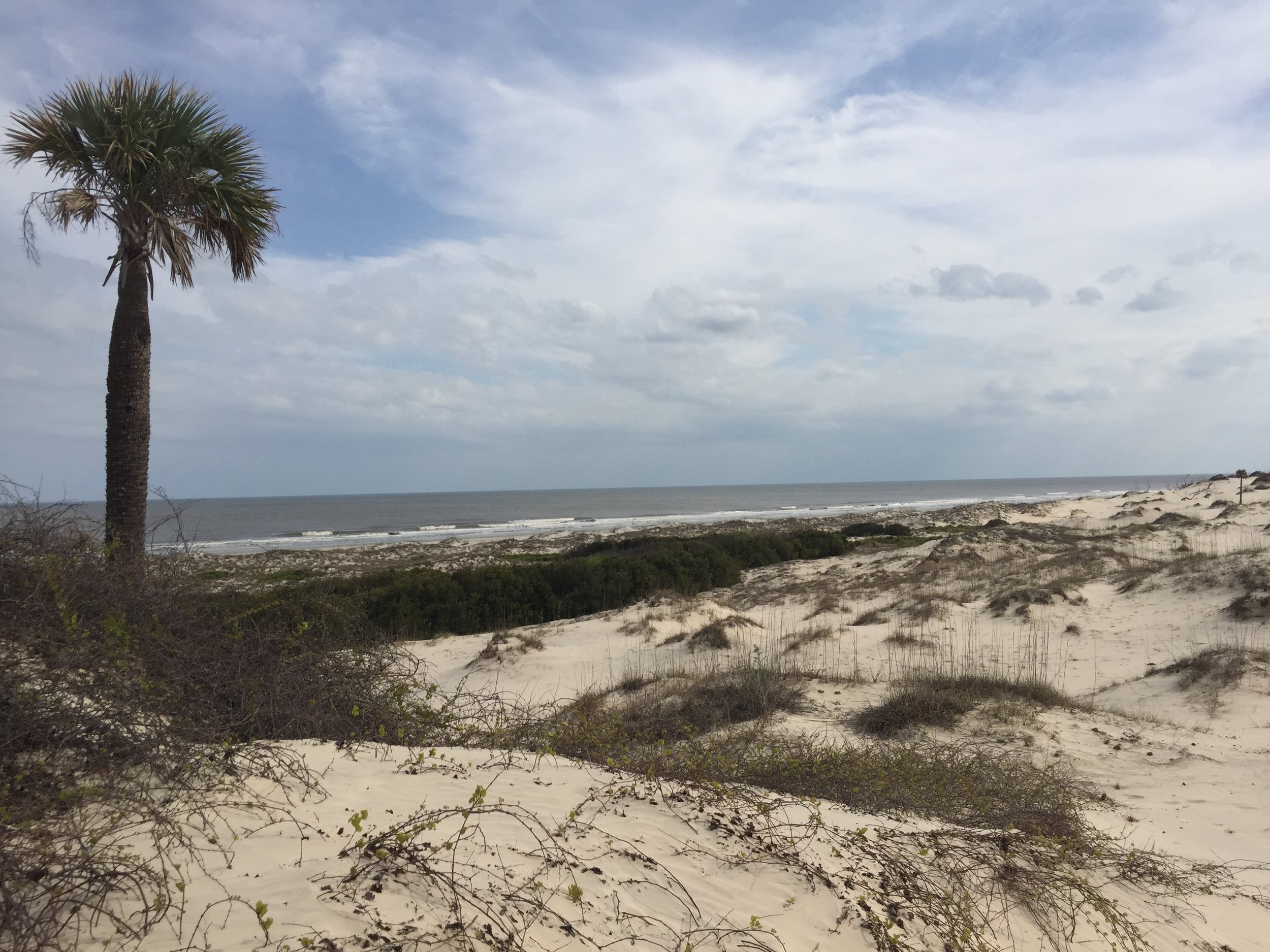
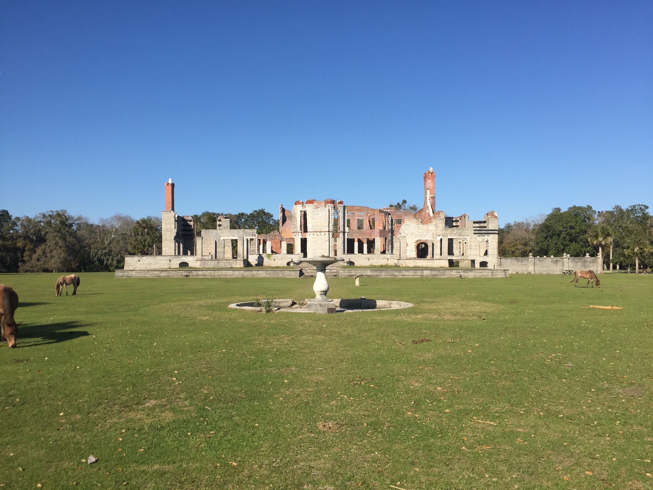
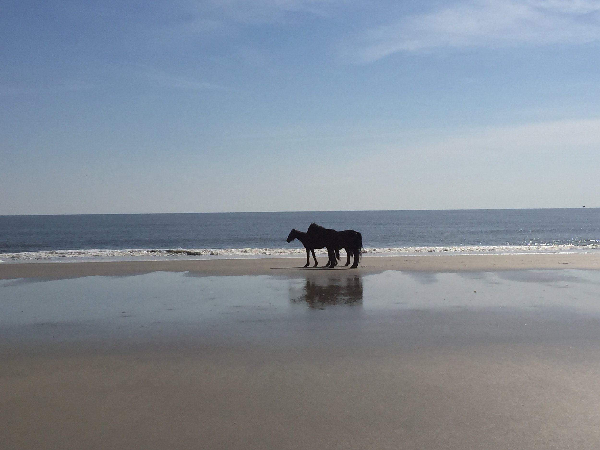
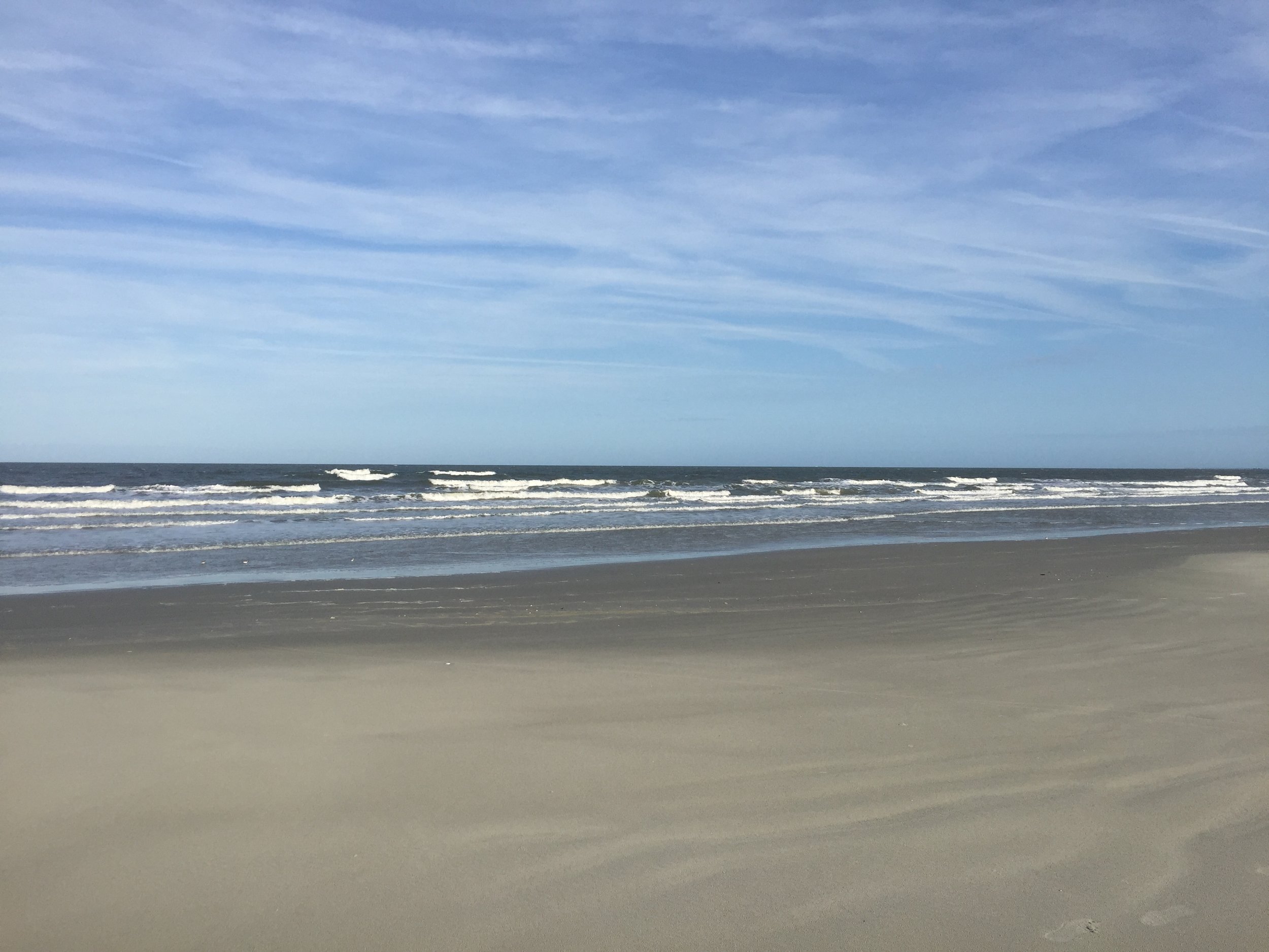
In early March 2017, Andy Nadeau and Kathy Allen of GSS visited Cumberland Island National Seashore off the coast of southern Georgia to kick off a Natural Resource Condition Assessment (NRCA) for the park. GSS worked with NPS staff to develop a framework for the project, spent a day and a half touring and learning about the park, and discussed the natural resources and issues that will be included in the report. Cumberland Island is known for its extensive beaches and dunes, which support nesting loggerhead sea turtles and endangered shore bird species, as well as live oak maritime forests and salt marshes. Access to the island is by boat only and is limited to 300 visitors per day. Highlights of the visit were sightings of alligators, a manatee, and numerous waterbirds!
Components selected for the NRCA were four ecological communities (upland forests, freshwater wetlands, salt marshes, and interdune communities), mammals, birds, herpetofauna (with a focus on sea turtles), air and water quality, and barrier island geomorphology. The geomorphology component will address concerns about shoreline change, especially erosion on the back barrier side of the island, and dune migration/loss. The NRCA will not only summarize existing data and information for these resources, it will also identify research needs or "data gaps" that would help inform park management decisions in the future.


White Mountain Apache Tribe
GSS recently began Phase 1 of a two-phase wetland mapping and assessment project for the White Mountain Apache Tribe; land situated in a mountainous area east of the Tonto National Forest and northeast of Phoenix. GSS staff expect to identify and map a diversity of wetland types throughout the varied landscape.
The first phase of the project focuses on initial wetland inventory. This includes remote detection and delineation of existing wetland features using high-resolution orthophotography and with other collateral spatial datasets, along with classification of wetland features using the FGDC Wetland Mapping Standards and an assignment of hydro-geomorphic metrics that relate to wetland function. Phase 2 will include field validation and the completion of a wetland functional assessment using the newly mapped and modern wetland data.
Alaska GeoSpatial Council
In December 2016, Andy Robertson of GeoSpatial Services was selected as co-chair of the Alaska Wetlands Technical Working Group. This working group, approved by the Alaska governor in November 2016, is part of the Alaska GeoSpatial Council (AGC). The AGC, led by the Alaska Department of Natural Resources, seeks to
- improve geospatial activity in the state by modernizing Alaska's geospatial holdings and infrastructure;
- eliminate redundent expenditures and unnecessary staff activity across all business units;
- foster data sharing while making geospatial data broadly available to all stakeholders through eliminated data acquisition and distribution policy
Andy will be traveling to Anchorage in February 2017 to present at the Alaska Survey and Mapping Conference.
Bureau of Land Management
GSS began a new project in collaboration with the Bureau of Land Management Assessment, Inventory, and Monitoring group (BLM-AIM) to help develop and pilot a consistent mapping methodology for wetlands and riparian areas of BLM lands in the Western United States.
On December 14th, 2016, GSS staff (Andy Robertson, Hannah Hutchins, and Kevin Stark) met with BLM-AIM for an initial scoping meeting in Denver, Colorado.
Up-coming Wetland Mapping Fieldwork
Over the next two months, GeoSpatial Services staff will conduct wetlands and hydrology field work for projects in New Mexico and South Central Alaska. Data collected during these field trips will be used to support the digital wetland mapping efforts of student interns and GSS staff during the next year. GSS has recently hired several new student workers to support these projects.
The work in New Mexico is in partnership with the New Mexico Environment Department, Surface Water Quality Bureau, while the project on Alaska’s Kenai Peninsula represents a partnership with the non-profit Kenai Watershed Forum. Once mapping is completed by student interns over the next year, it will be uploaded to the National Map and be used to support Google Maps and other online mapping applications.